Antique Maps of Western Europe
690 original sheets
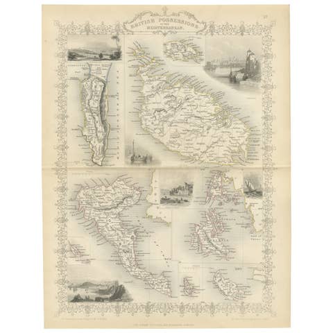
Old Map of British Mediterranean Territories with Images of Historic Sites, 1851
1851 · € 360

A Tallis Map of British Guiana with Colonial Vignettes and Other Landmarks, 1851
1851 · € 290
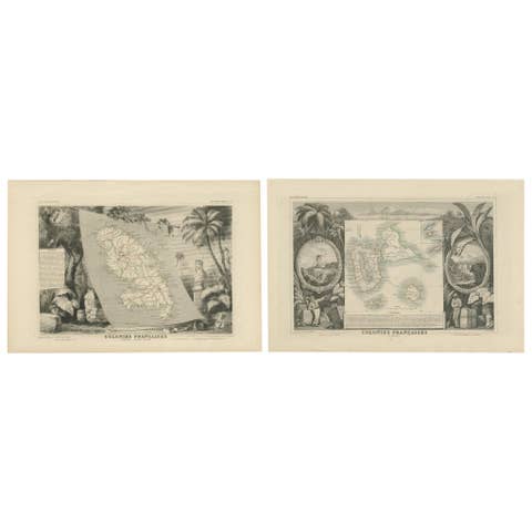
French Colonies in the Caribbean: Maps of Martinique and Guadeloupe (1852)
1852 · € 330
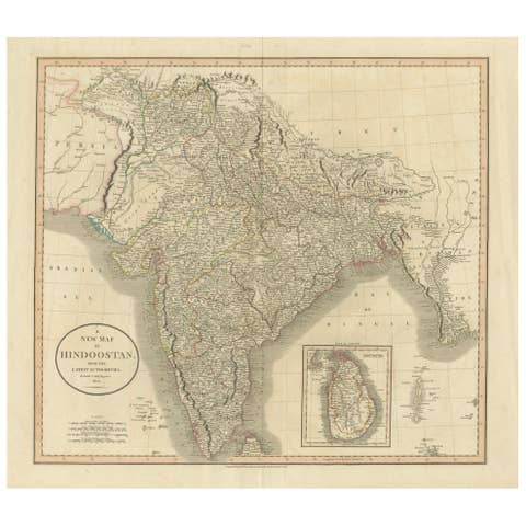
1806 John Cary Map of Hindoostan – Detailed British Cartography of India
1806 · € 540
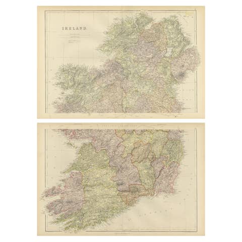
1882 Cartographic Views of Ireland's North and South Regions
1882 · € 360
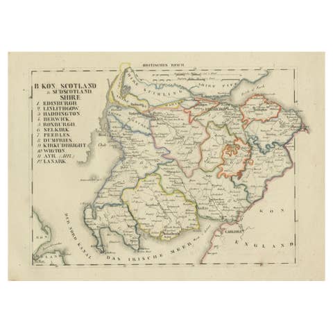
Antique 1830 Map of Southern Scotland with Edinburgh, Berwick, Ayr, and Dumfries
1830 · € 340
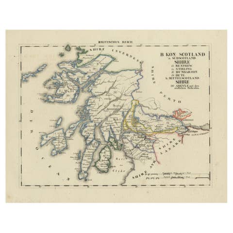
Antique 1830 Map of Scotland with Counties Renfrew, Stirling, Dumbarton and Bute
1830 · € 340
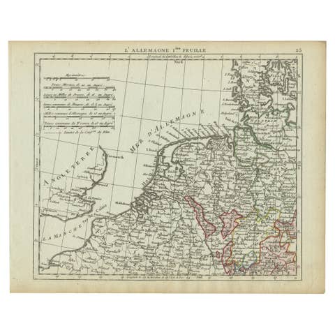
Antique Map of Northern Germany and the Netherlands – circa 1806
1806 · € 110
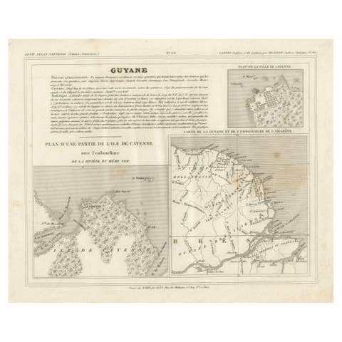
Antique Map of French Guiana and Cayenne – Circa 1835
1835 · € 90
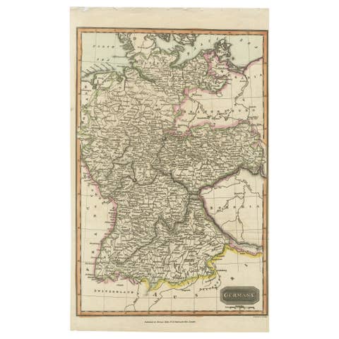
Antique Map of Germany c.1830 by Thomas Kelly – Hand-Colored Copper Engraving
1830 · € 190
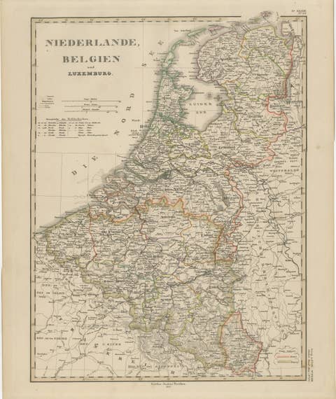
Benelux Antique Map – Netherlands, Belgium & Luxembourg by Perthes, 1857
1857 · € 495
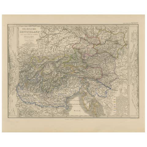
Antique Habsburg Empire Map – Southeastern Germany to Venice, 1858
1858 · € 495

1858 Map of Southwestern Germany & Switzerland – Bavaria, Württemberg, Baden
1858 · € 440

Antique Map of Eastern Germany, Bohemia, Moravia & Silesia – 1858
1858 · € 440

Antique Map of Prussia & Posen – Insets of Berlin, Königsberg & Danzig, 1858
1858 · € 530

Antique Map of Northeastern Germany – Saxon & Prussian States, 1858
1858 · € 340
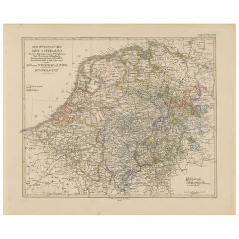
Antique Map of Prussia, Hanover, Netherlands & Belgium – 1858
1858 · € 299
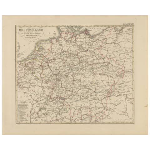
Antique Map of Germany & Railways – Transport Network Overview, 1857
1857 · € 340
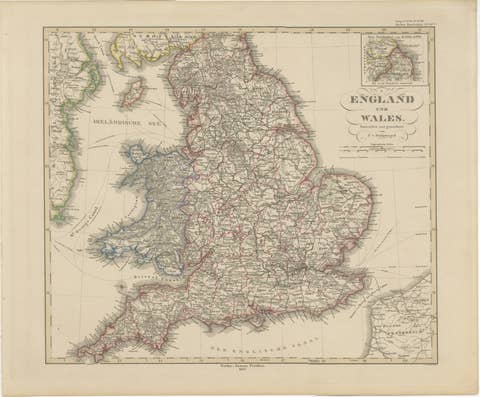
England & Wales in 1857 – Decorative Antique Map with Rail Routes
1857 · € 420
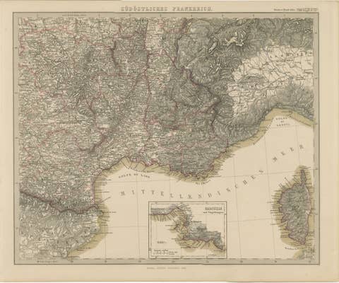
1858 Map of South France with Corsica – Marseille to Italian Border
1858 · € 410
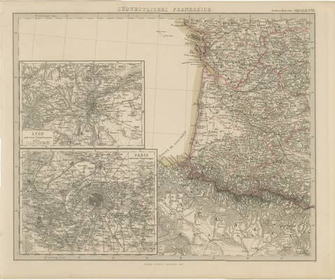
Antique Map of Southwestern France – With Insets of Paris & Lyon, 1858
1858 · € 390
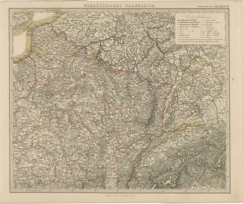
Antique Map of Northeastern France – Alsace, Lorraine & Champagne, 1858
1858 · € 420
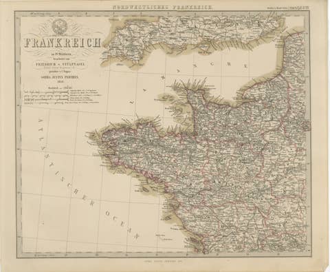
Hand-Colored Map of Northwest France – Brittany to Loire, 1858
1858 · € 440
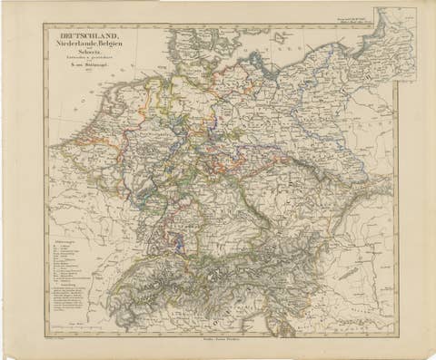
Antique Map of Germany, Netherlands, Belgium & Switzerland – Stülpnagel, 1857
1857 · € 290

1855 Relief Map of Germany and the Alps Showing Rivers and Terrain
1855 · € 290
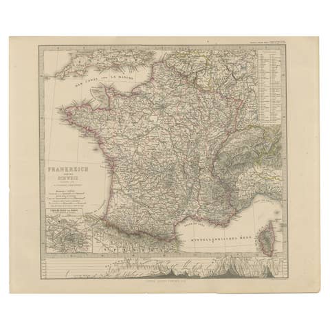
1856 France and Switzerland Map with Mountain Profiles
1856 · € 390

Antique Map of Britain & Ireland with North Sea Detail – 1856 Stülpnagel
1856 · € 420
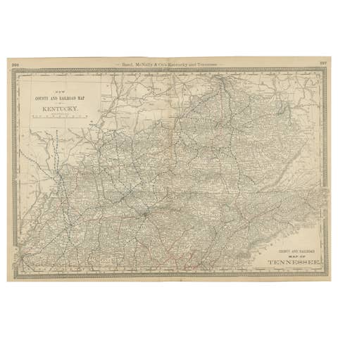
Antique Map of Kentucky & Tennessee – The Bluegrass & Volunteer States, 1888
1888 · € 460
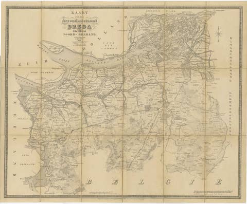
Breda North Brabant Map, Published in 1842 – Antique Dutch Folding Map
1842 · € 1 400
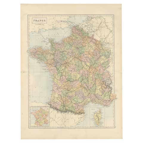
Decorative Antique Map of France in Departments – Collectible Print, 1884
1884 · € 360
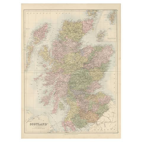
Antique Map of Scotland with Counties and Islands – Black’s Atlas, 1884
1884 · € 360
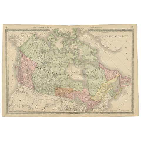
Canada Antique Railroad Map c.1888 – British America, Cities & Regions
1888 · € 460
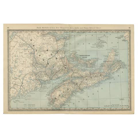
Nova Scotia, New Brunswick & Prince Edward Island Antique Map c.1888
1888 · € 460
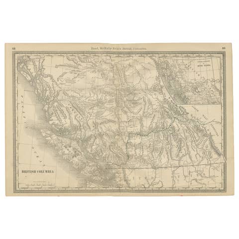
British Columbia 1888 Antique Map – Beautiful BC, Towns & Settlements
1888 · € 460
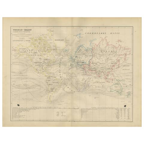
World Map in Mercator’s Projection – Nieuwe Hand-Atlas, Leiden 1876
1876 · € 230
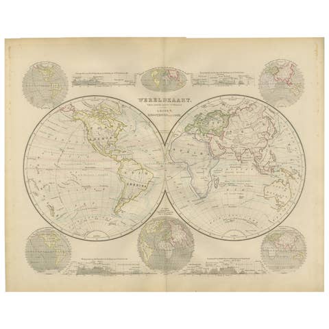
Double Hemisphere World Map from the Nieuwe Hand-Atlas, Leiden 1876
1876 · € 300
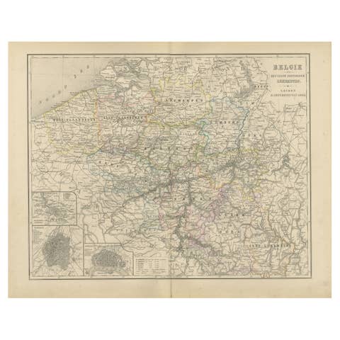
Map of Belgium and the Grand Duchy of Luxembourg, Leiden 1876
1876 · € 320
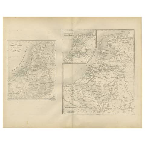
Historical Map of the Netherlands in the 16th and 17th Centuries, Leiden 1876
1876 · € 320
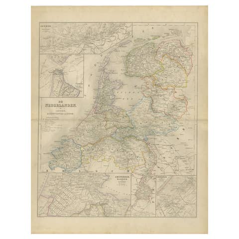
Map of the Netherlands with Insets of Amsterdam and Arnhem, Leiden 1876
1876 · € 320
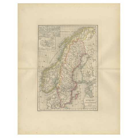
Map of Sweden and Norway with Inset of Stockholm, Leiden 1876
1876 · € 320
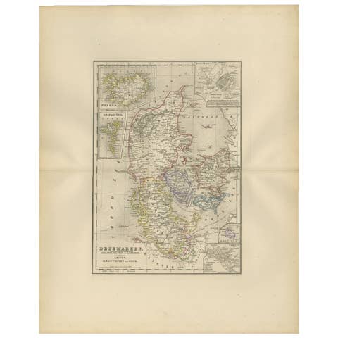
Map of Denmark, Schleswig, Holstein and Lauenburg – Leiden 1876
1876 · € 320
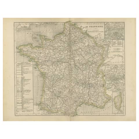
Map of France with Corsica and Paris Inset – Nieuwe Hand-Atlas, 1876
1876 · € 320
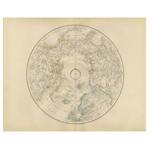
Arctic & Greenland Map – Northern Hemisphere, North Pole, Leiden 1876
1876 · € 290

Denmark with Schleswig & Holstein, Iceland, Greenland, Antique Map, Blackie 1860
1860 · € 390
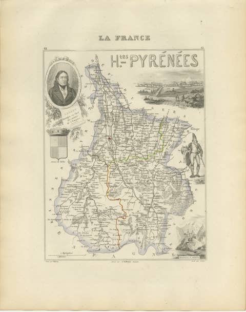
Antique Map of Hautes-Pyrénées, France by Vuillemin, circa 1850
1850 · € 300
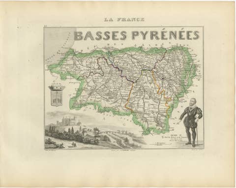
Antique Map of Basses-Pyrénées, France by Vuillemin, circa 1850
1850 · € 378
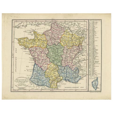
Antique Map of France by Van Baarsel (c.1820)
1820 · € 179
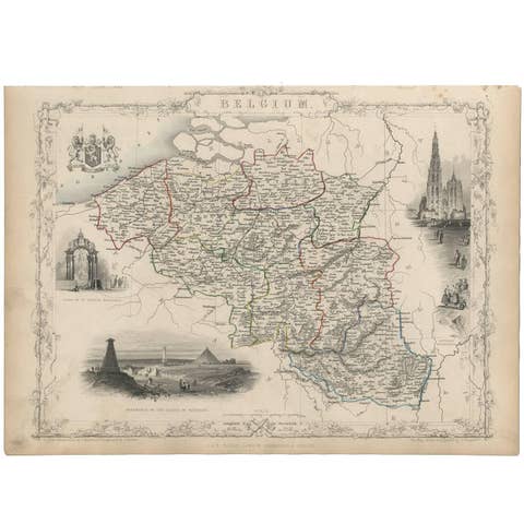
Antique Map of Belgium by J. Tallis, circa 1851
1851 · € 250