Antique Map of Kentucky & Tennessee – The Bluegrass & Volunteer States, 1888
€ 460
Original antique · The actual sheet photographed · Certificate of authenticity on request · Sold unframed · Worldwide shipping from € 15 (rates)
Date
1888
Sheet size
52.5 × 36 cm (20.7 × 14.2 in)
Condition
Good
Reference
BG-12794-34
What the condition grades mean
Excellent
Bright and clean, with no faults worth mentioning.
Very good
Only light signs of age, such as faint toning.
Good
Normal signs of age for a sheet of this period: toning, some foxing, small marks or neat old repairs.
Fair
Clear faults such as staining, tears or repairs, priced to match.
Every fault we see is written in the condition note, and the whole sheet is shown uncropped in the photos.
Condition
Condition summary: Good condition overall. Mild toning of paper and light foxing at the margins. Original center fold as issued. Strong paper with crisp engraved detail. No major tears or repairs.
About this sheet
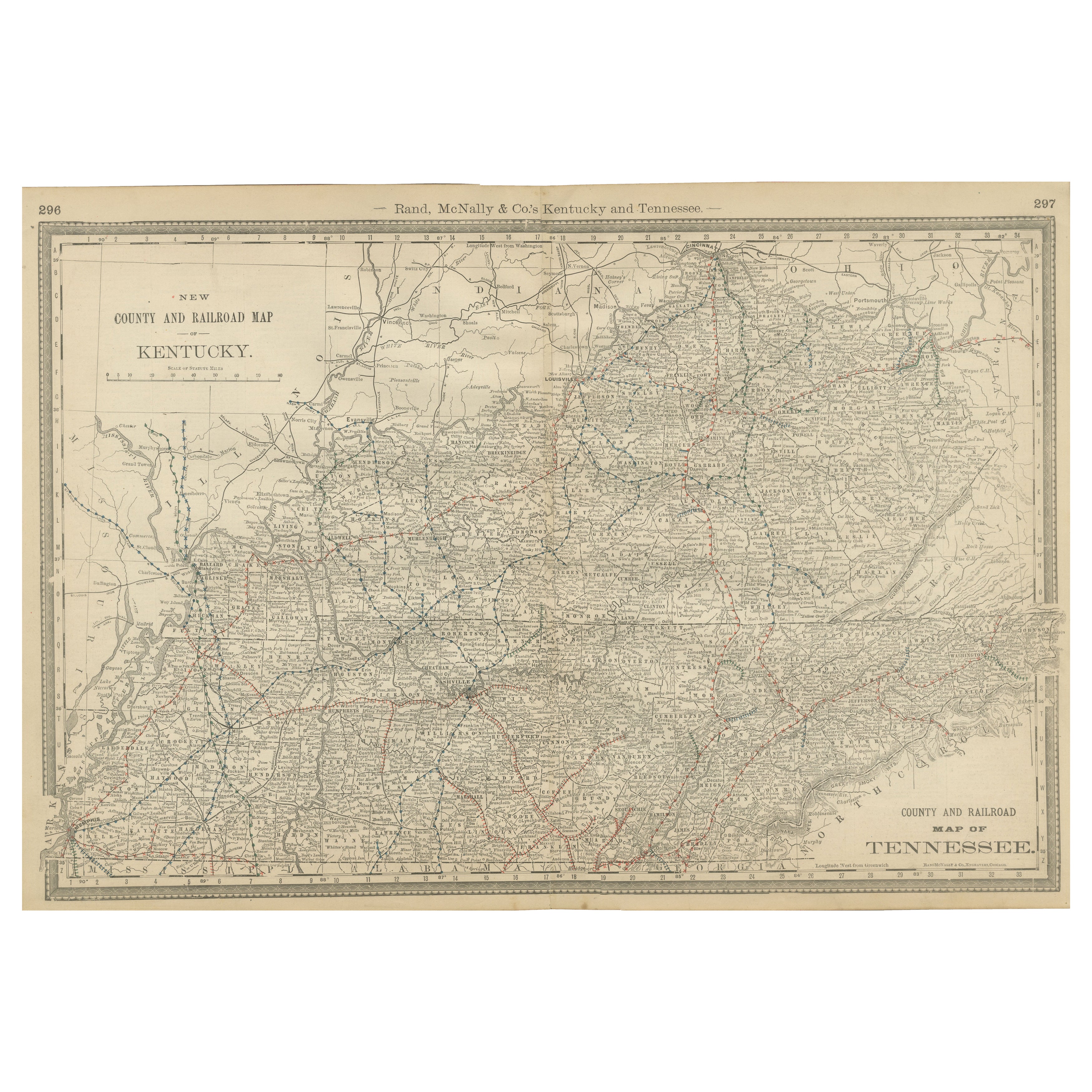
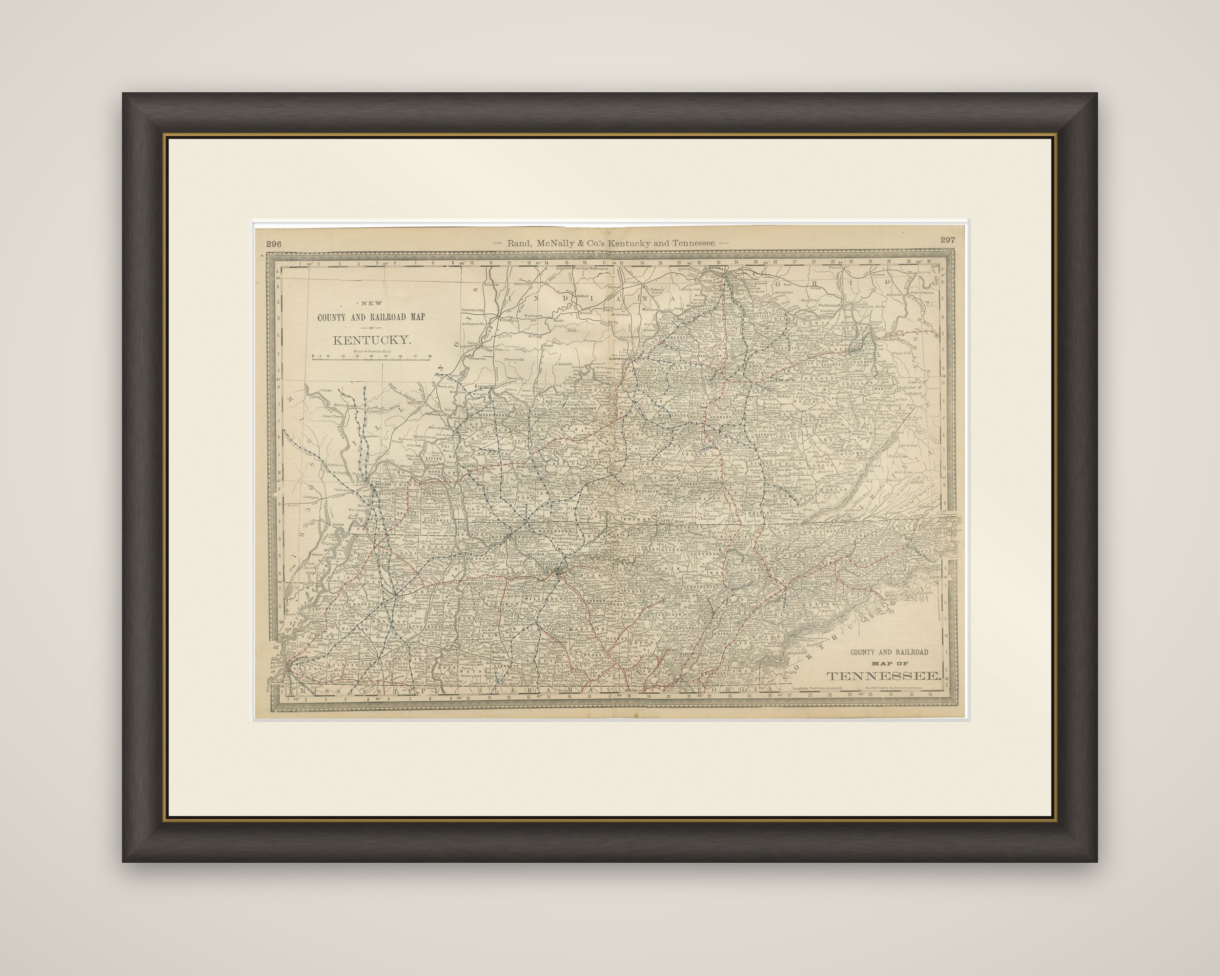
Kentucky and Tennessee together on a single wide sheet, an original map of 1888 by Rand, McNally & Co. of Chicago from their Improved Indexed Business Atlas and Shippers Guide. The sheet is printed in black on toned paper with railroad lines overprinted in red and blue. The running head "Rand, McNally & Co.'s Kentucky and Tennessee" appears across the top between atlas page numbers 296 and 297.
Kentucky occupies the upper part of the sheet under the title "New County and Railroad Map of Kentucky," set in a framed panel at the upper left. Tennessee runs across the lower part, with its own title, "County and Railroad Map of Tennessee," at the lower right. Both states are laid out with their counties and the many railroad lines crossing them, and the long, narrow eastern end of Tennessee runs off to the right along the North Carolina line. The Mississippi River marks the western edge of both states.
By placing the two states on one plate, the atlas follows their shared geography along the Ohio and Cumberland valleys and the lines that linked Louisville, Nashville, Memphis and Chattanooga.