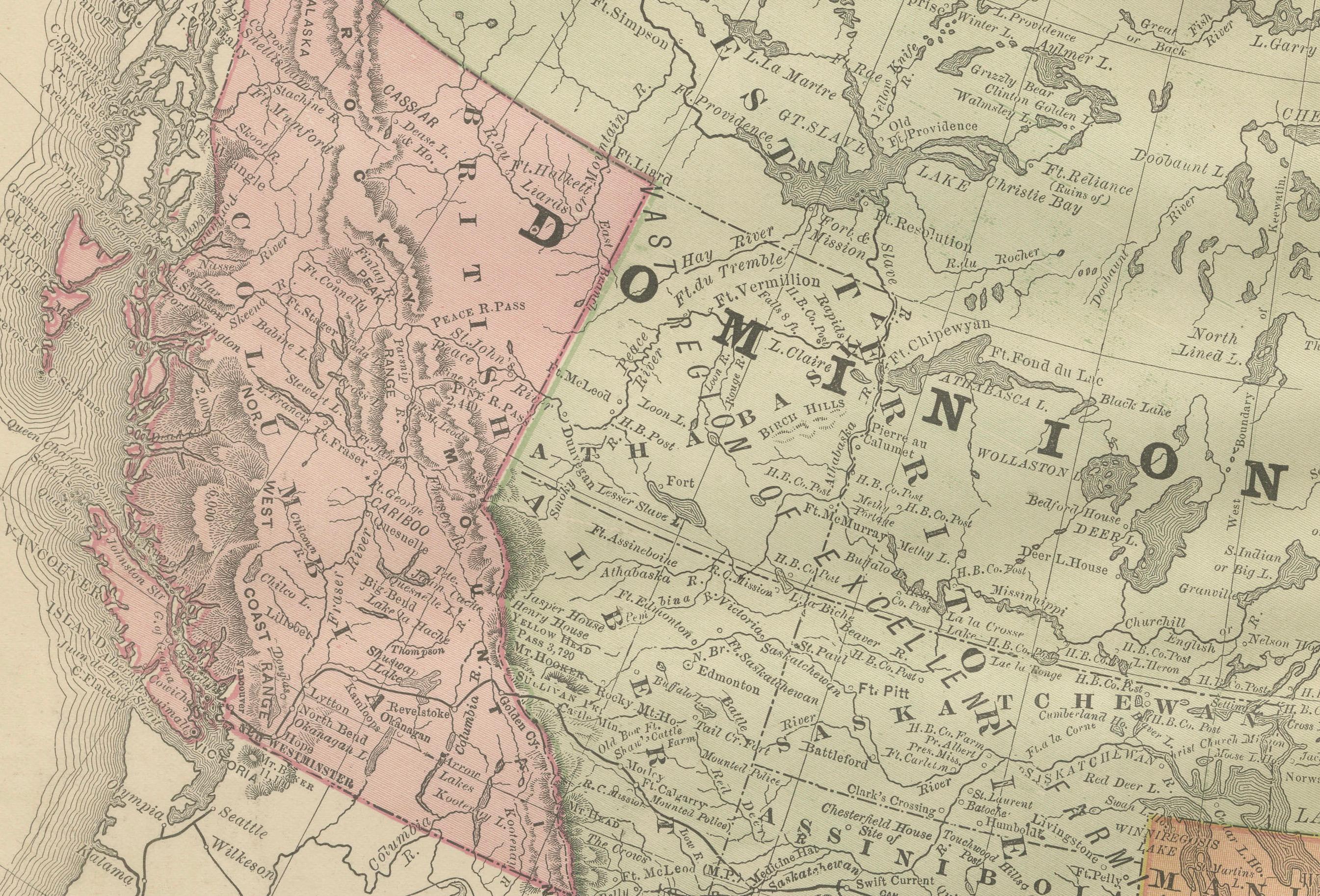
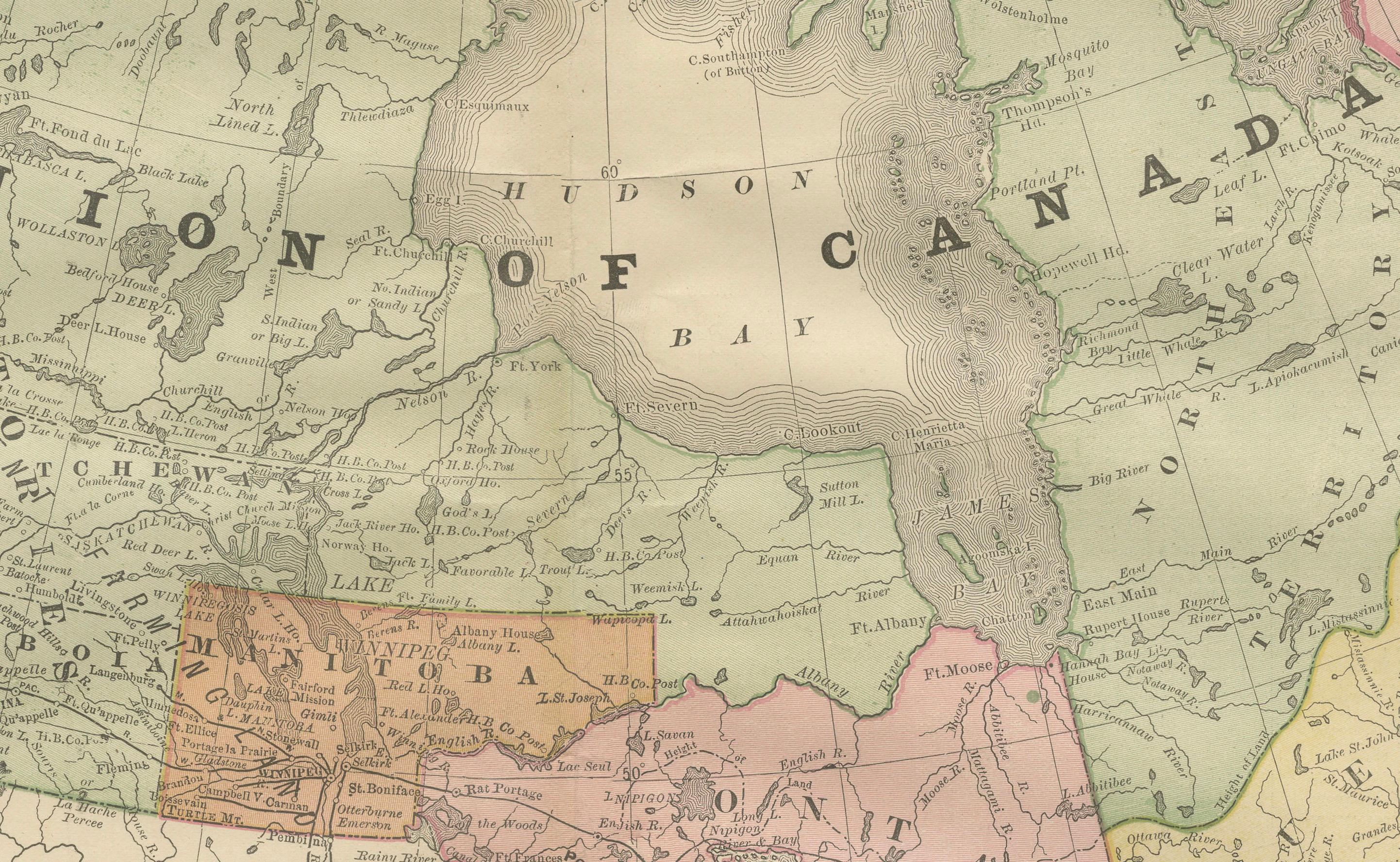
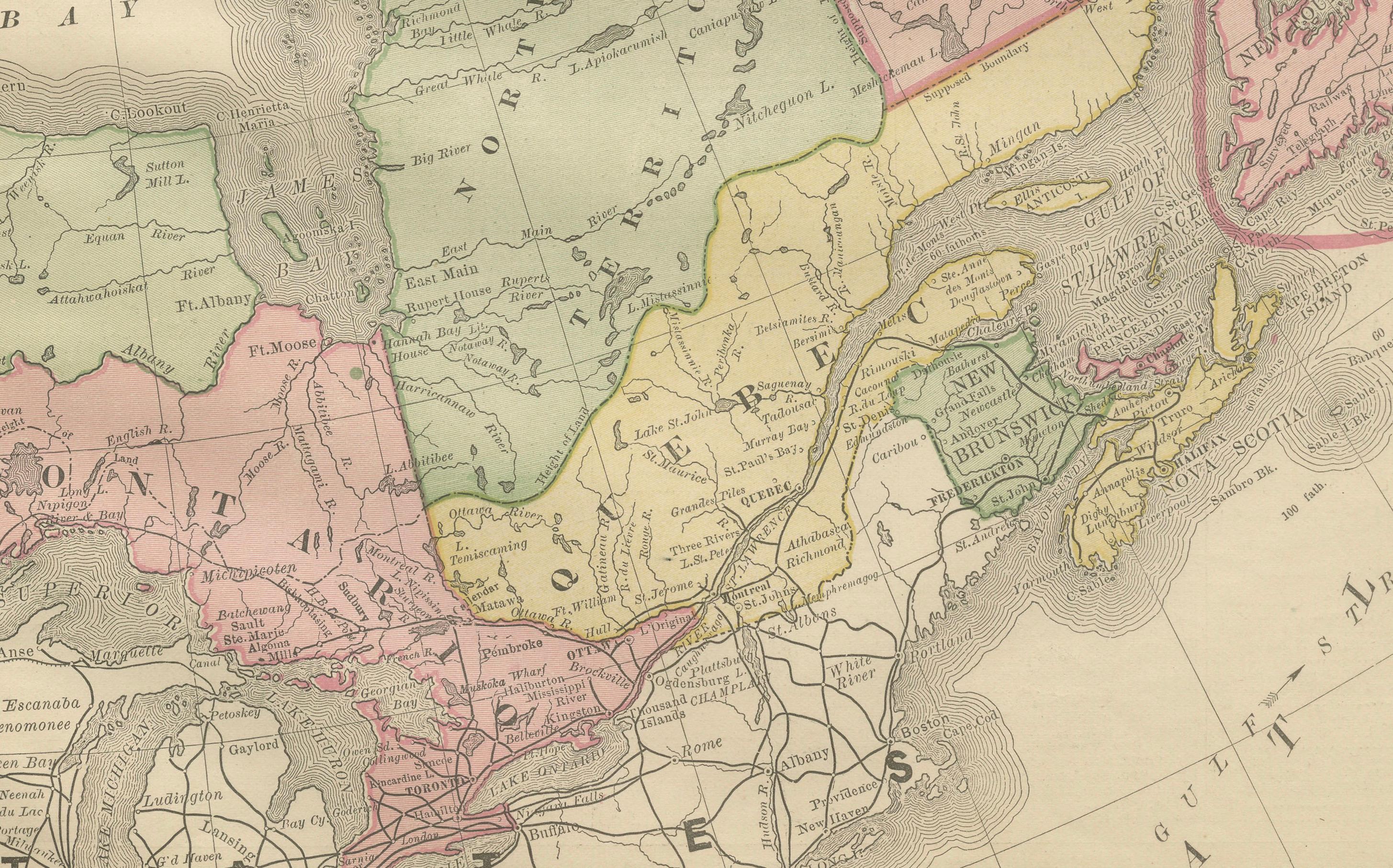
Canada Antique Railroad Map c.1888 – British America, Cities & Regions
€ 460
One of a kind: this is the sheet in the photographs. Ships from Langweer, the Netherlands.
Date
1888
Sheet size
36 × 52.5 cm (14.2 × 20.7 in)
Condition
Good
Reference
BG-12794-5
Condition
Good condition with light toning and a visible center fold as issued. Plate impression clear. Mild handling marks to the margins, not affecting the printed area.
About this sheet
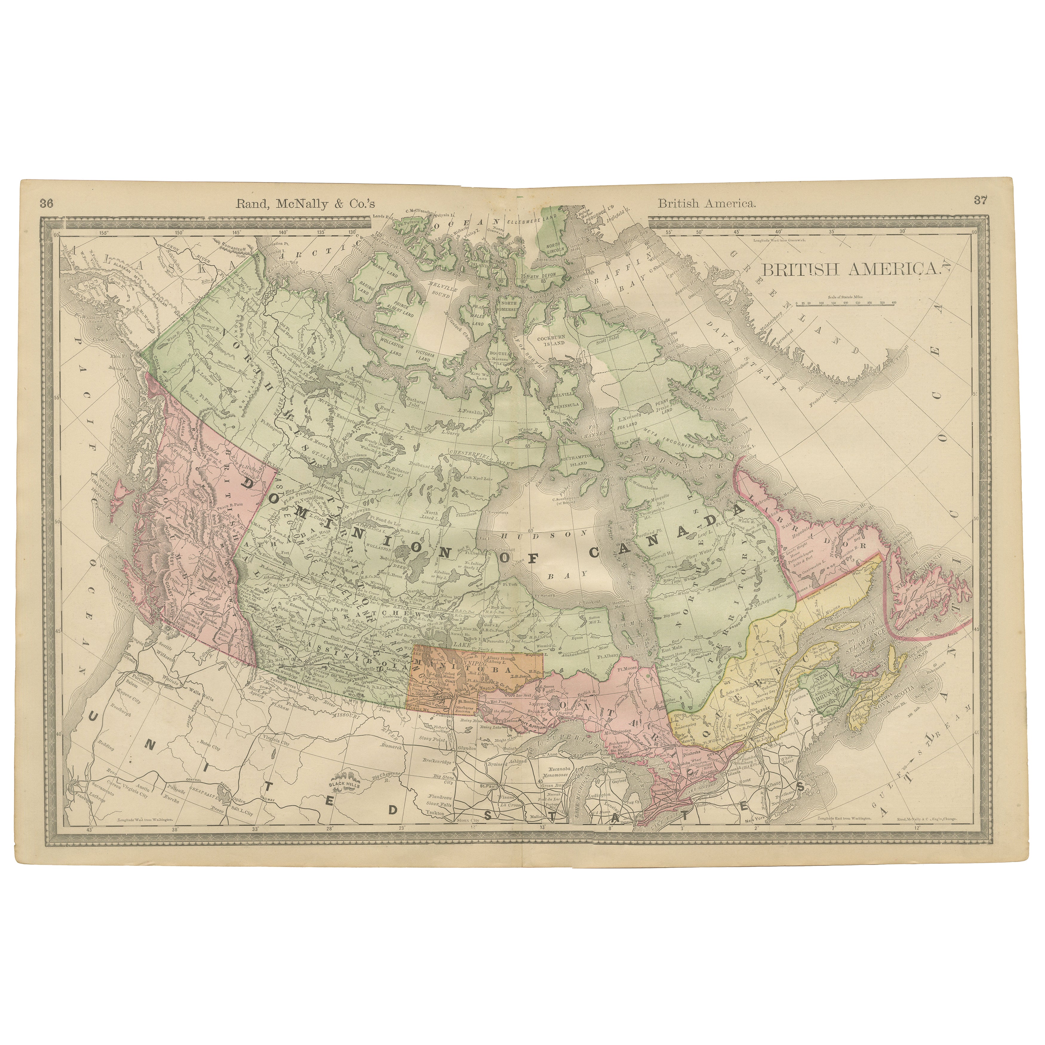
Antique Map of Canada – Rand McNally’s British America, circa 1888
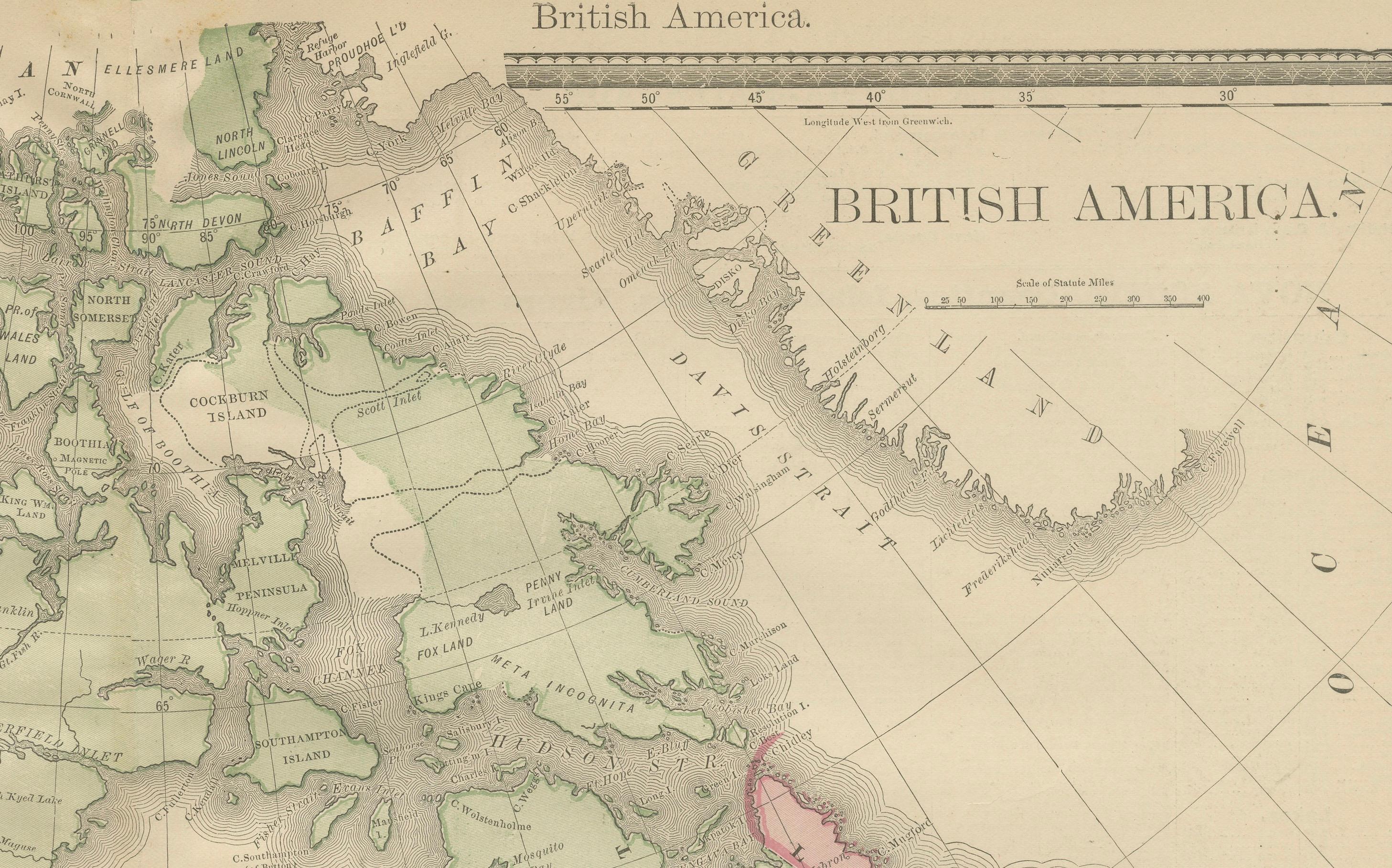
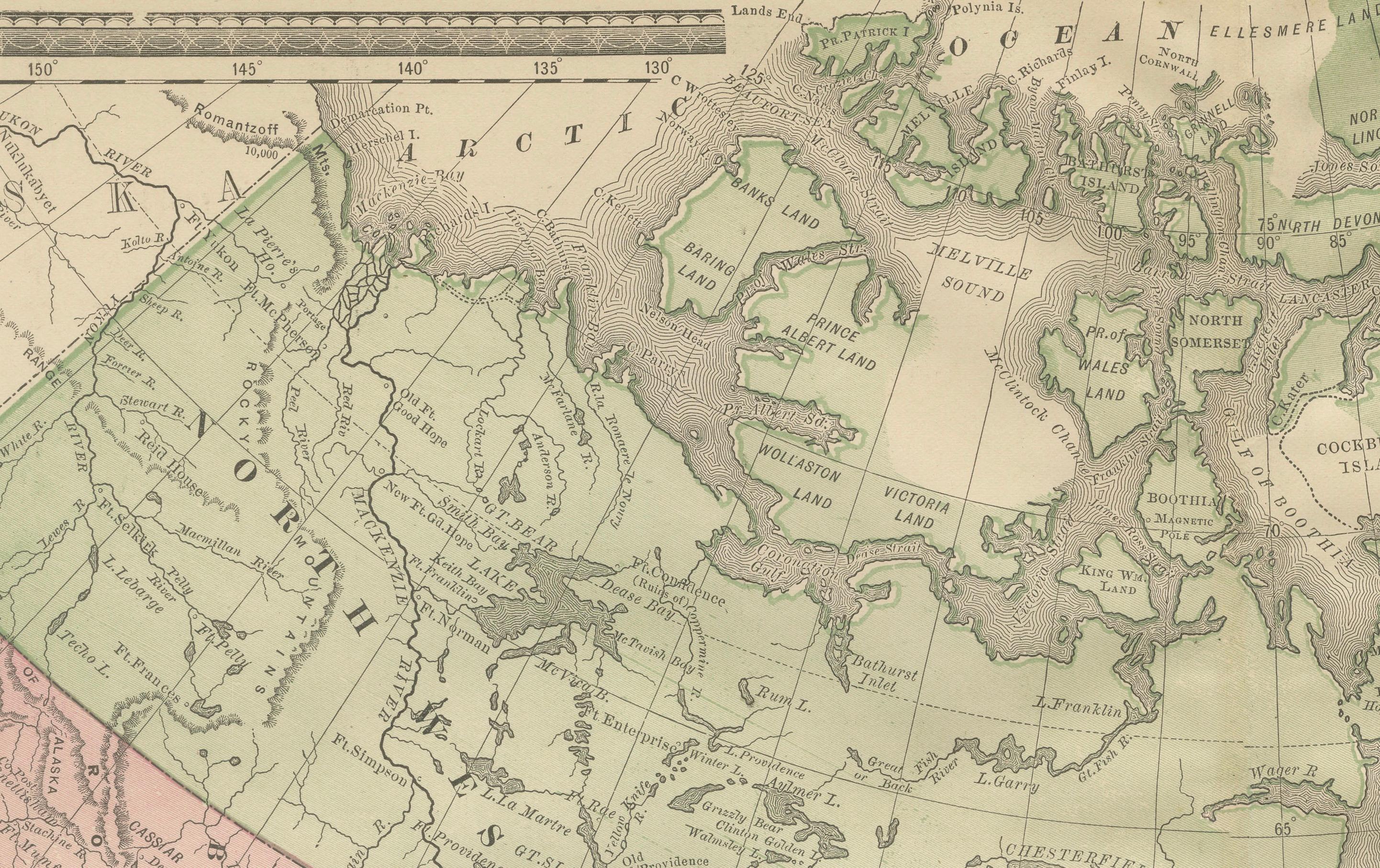
This antique map titled “Rand, McNally & Co.’s British America” was published around 1888 and depicts the full extent of Canada as it stood in the late 19th century. It covers the vast Dominion of Canada from the Pacific Ocean to Newfoundland and Labrador, and from the United States border to the Arctic archipelago.
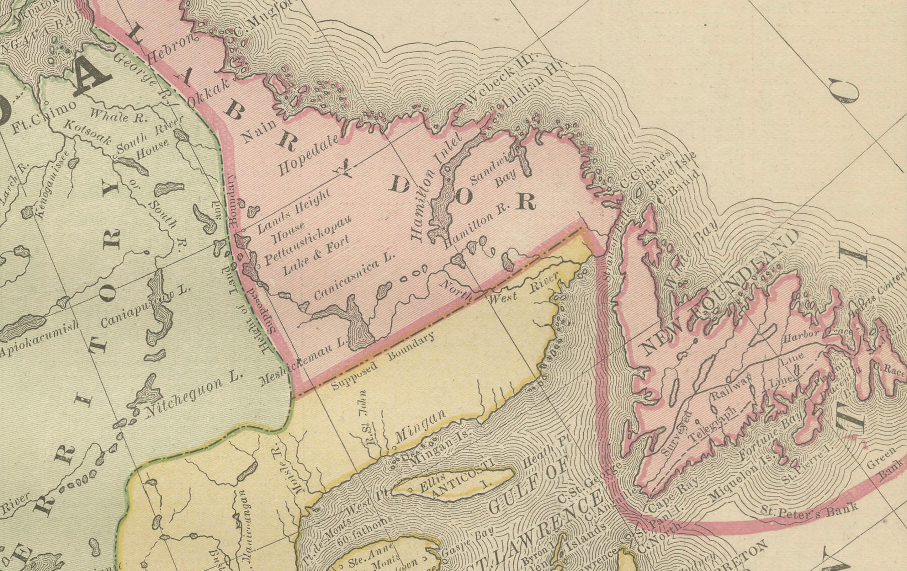
The map divides the provinces and territories in outline color, with Manitoba, Ontario, Quebec, the Maritime Provinces, British Columbia, and the North-West Territories all carefully delineated. Hudson Bay dominates the center, surrounded by the immense northern territories, still sparsely mapped at the time. Railroads, prominently shown in the southern provinces, illustrate the progress of Canada’s transportation network, especially the Canadian Pacific Railway, which linked east and west for the first time in the 1880s.
The geographical detail includes rivers, mountain ranges, and settlement clusters. Areas such as “Labrador,” “Hudson’s Bay Territory,” and “Dominion of Canada” reflect the cartographic vocabulary of the period. This map captures Canada at a formative moment, shortly after Confederation (1867) and during its westward expansion, making it both historically significant and highly decorative.
Condition report: Very good condition with light toning and a visible center fold as issued. Plate impression clear. Mild handling marks to the margins, not affecting the printed area.
Framing tips: This map works well as the centerpiece of a Canadian collection. A walnut or cherry wood frame with a cream mat enhances its period style. A double mat with ivory and muted green accents highlights both the engraved detail and the pastel coloring of the provinces.
Technique: Lithograph with original outline color Maker: Rand, McNally & Co., Chicago, circa 1888