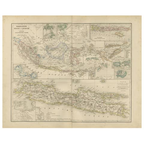
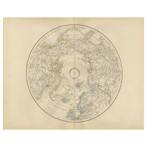
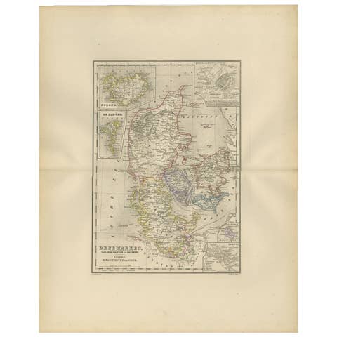
World Map in Mercator’s Projection – Nieuwe Hand-Atlas, Leiden 1876
€ 230
Original antique · The actual sheet photographed · Certificate of authenticity on request · Sold unframed · Worldwide shipping from € 15 (rates)
Date
1876
Mapmaker / artist
M. Frijlink & A. van Otterloo, published by D. Noothoven van Goor, Leiden, 1876
Technique
Lithograph with original hand-coloring
Sheet size
44 × 55 cm (17.3 × 21.7 in)
Condition
Good
Reference
BG-12788-3
What the condition grades mean
Excellent
Bright and clean, with no faults worth mentioning.
Very good
Only light signs of age, such as faint toning.
Good
Normal signs of age for a sheet of this period: toning, some foxing, small marks or neat old repairs.
Fair
Clear faults such as staining, tears or repairs, priced to match.
Every fault we see is written in the condition note, and the whole sheet is shown uncropped in the photos.
Condition
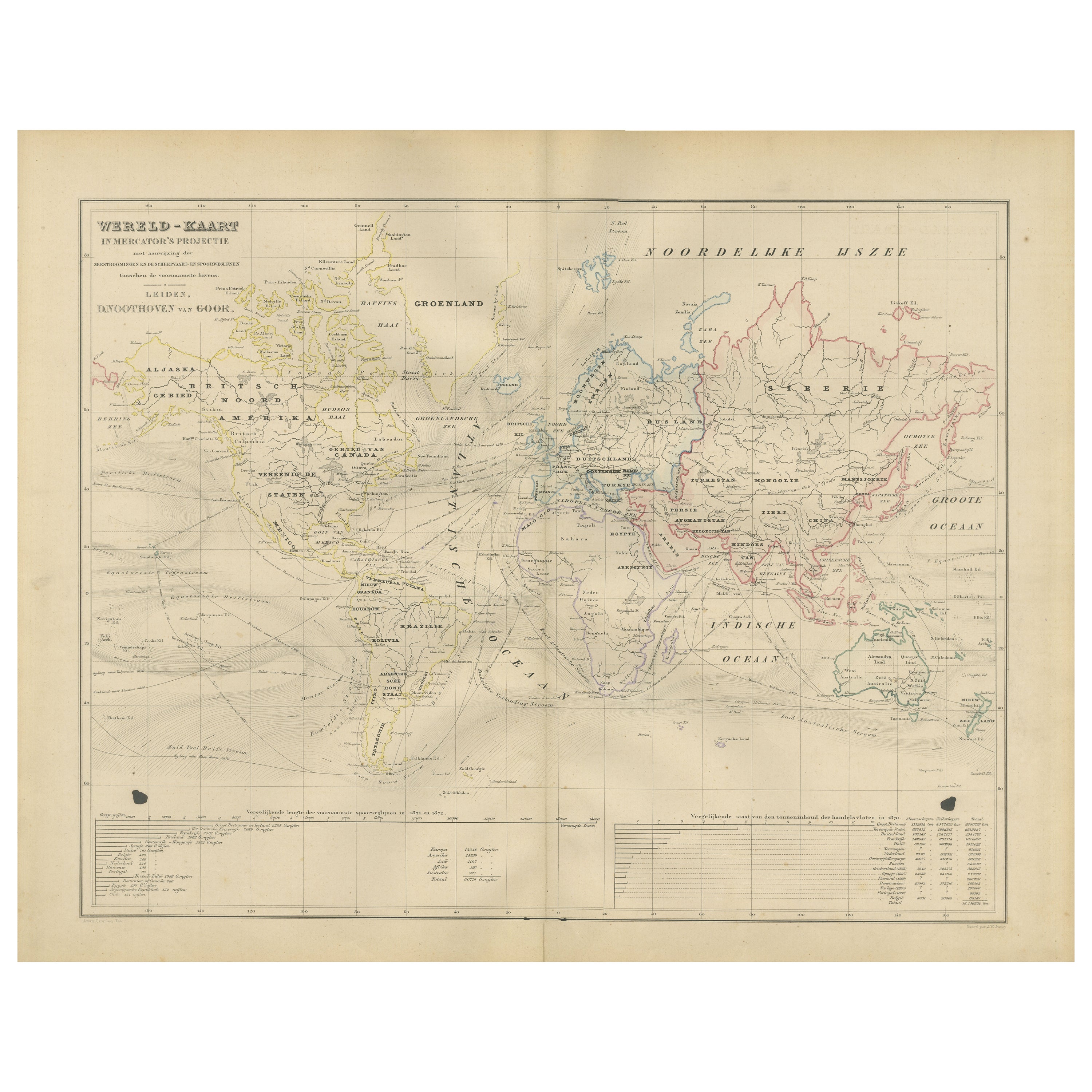
Good condition for age, with light overall toning and minor foxing near the margins. Original center fold as issued. Two small black printing marks visible in the lower margin—one at left and one at right—likely from the original press.
About this sheet
World Map in Mercator’s Projection – Nieuwe Hand-Atlas, Leiden 1876
This 19th-century Dutch world map, titled “Wereld-Kaart in Mercator’s Projectie,” was published in 1876 in the Nieuwe Hand-Atlas der Aarde in haren Tegenwoordigen Toestand by M. Frijlink, revised by A. van Otterloo, and printed by D. Noothoven van Goor in Leiden. The map presents the world according to the Mercator projection, designed to show accurate bearings for navigation while preserving recognizable continental forms.
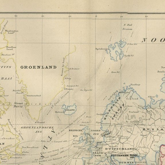
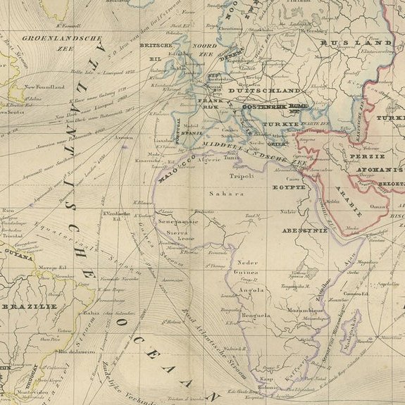
The continents are delicately hand-colored to distinguish political boundaries: yellow for the Americas, green for Australia, pink for Asia, and soft blue for Europe and Africa. Ocean currents, major trade winds, and navigational routes are clearly indicated, making the plate both visually engaging and scientifically instructive. Across the map, fine engraved lines mark latitude and longitude, with detailed labeling of ports, islands, and key geographical features. A table at the bottom compares the surface areas of the continents and oceans, while another details the relative size of major countries and empires of the time, offering a clear view of global political geography in the late 19th century.
This map reflects the advanced level of Dutch cartographic education in the 1870s, combining clarity, accuracy, and aesthetic precision. It served as a practical and educational representation of the world for teachers, students, and scholars, produced by some of the leading mapmakers of the Netherlands.
Condition report: Good condition for age, with light overall toning and minor foxing near the margins. Original center fold as issued. Two small black printing marks visible in the lower margin—one at left and one at right—likely from the original press. Colors remain soft and even, and the impression is strong with no tears or repairs.
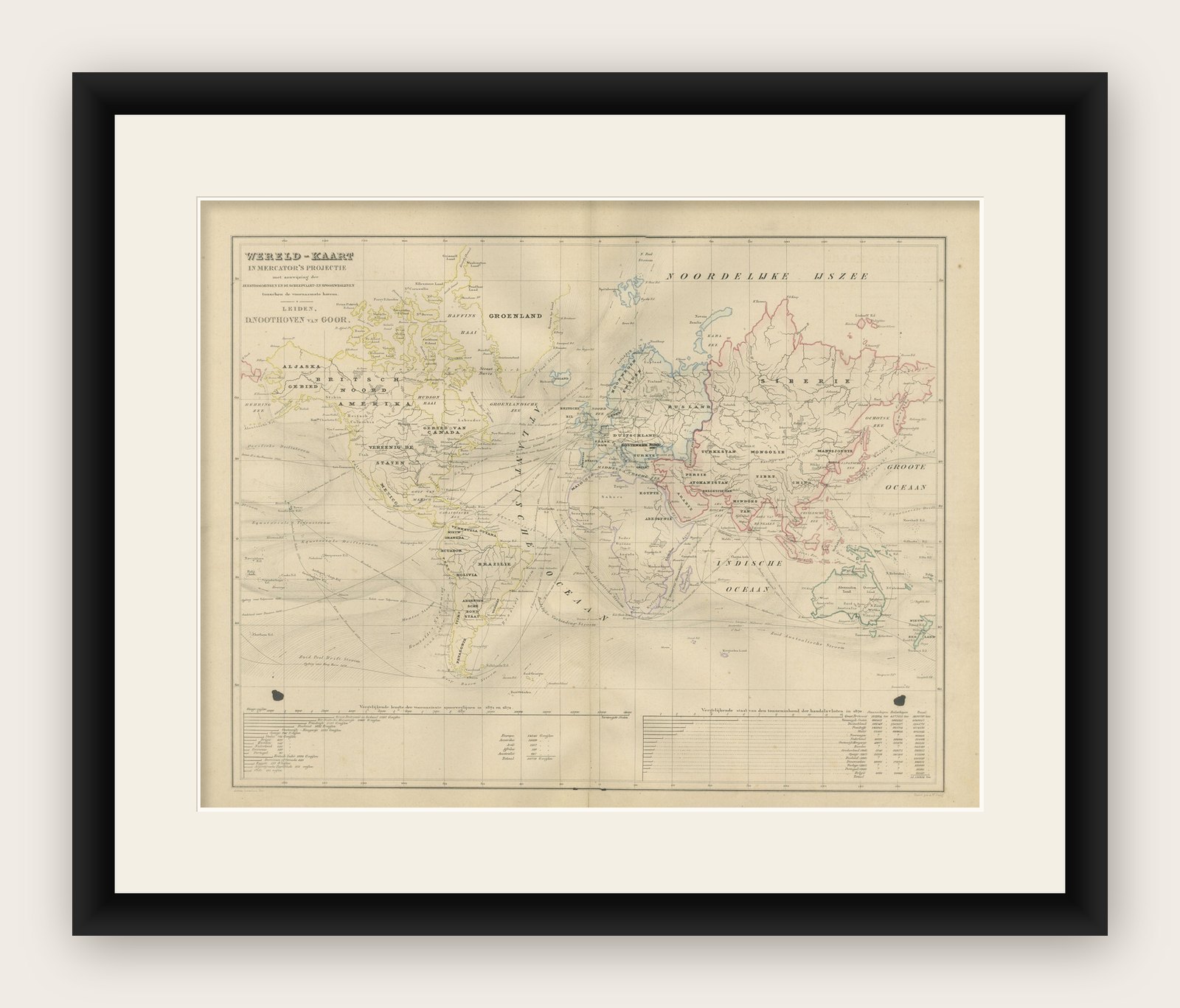
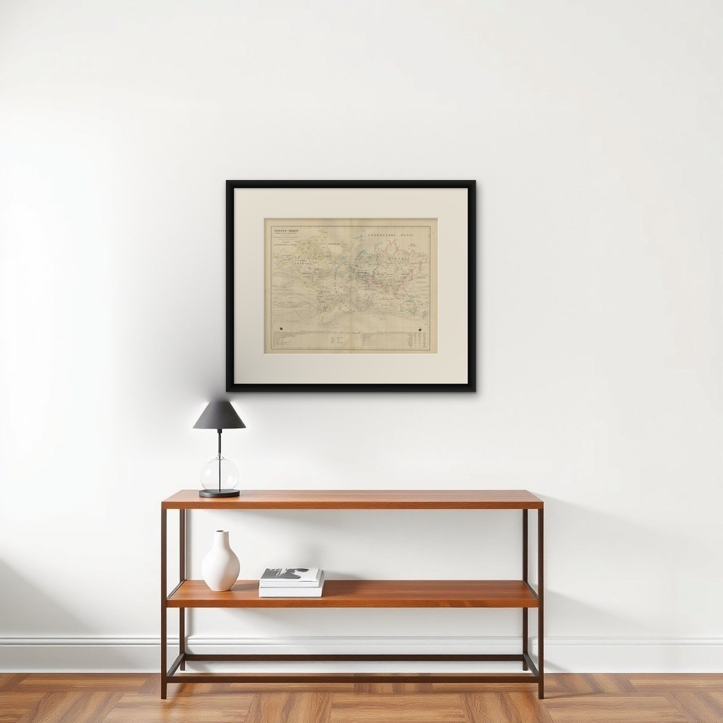
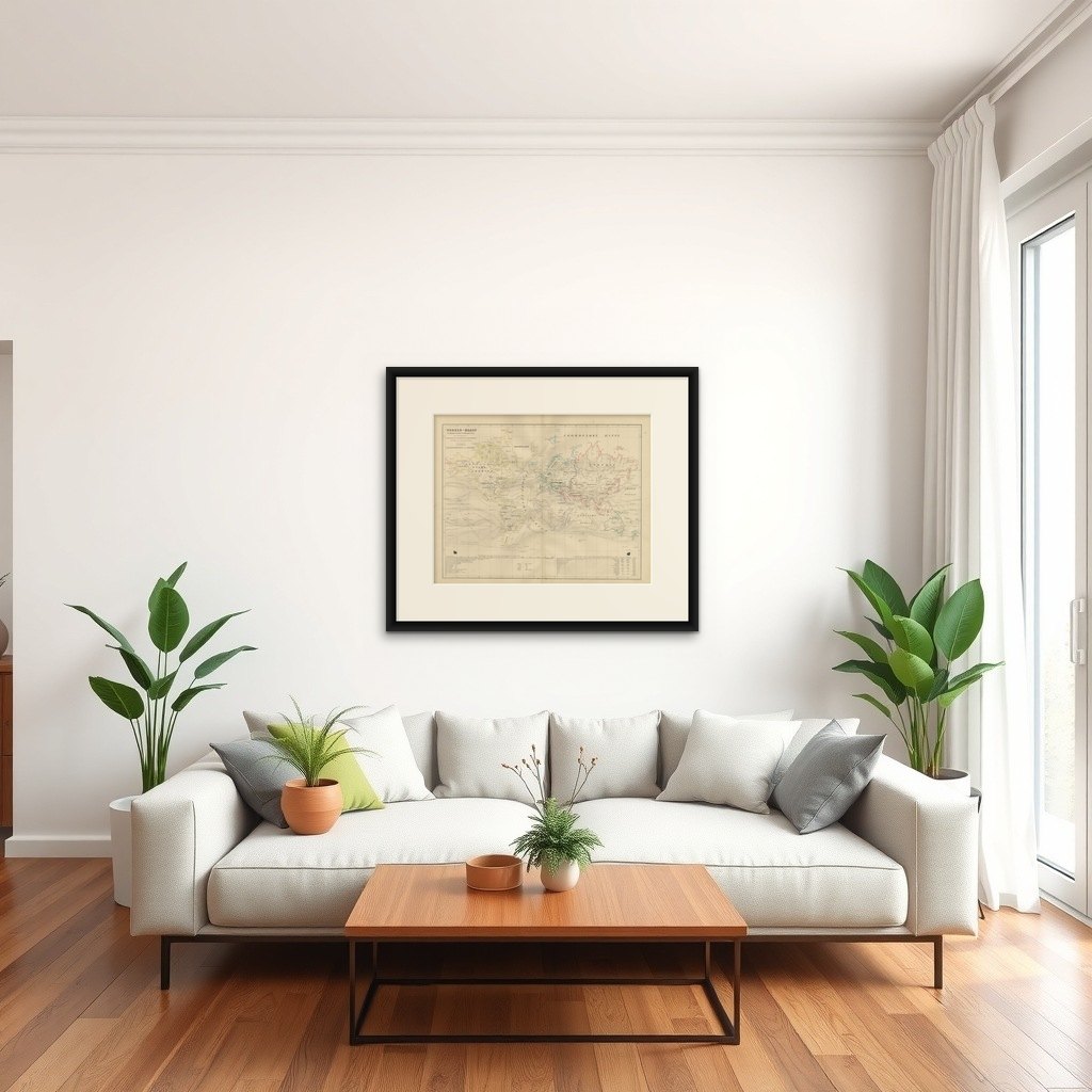
Framing tips: This map displays beautifully when mounted on a light ivory mat with a slim black or walnut wooden frame. The balance of muted colors and precise engraving complements both classic and modern interiors, especially in studies or offices.