About this sheet
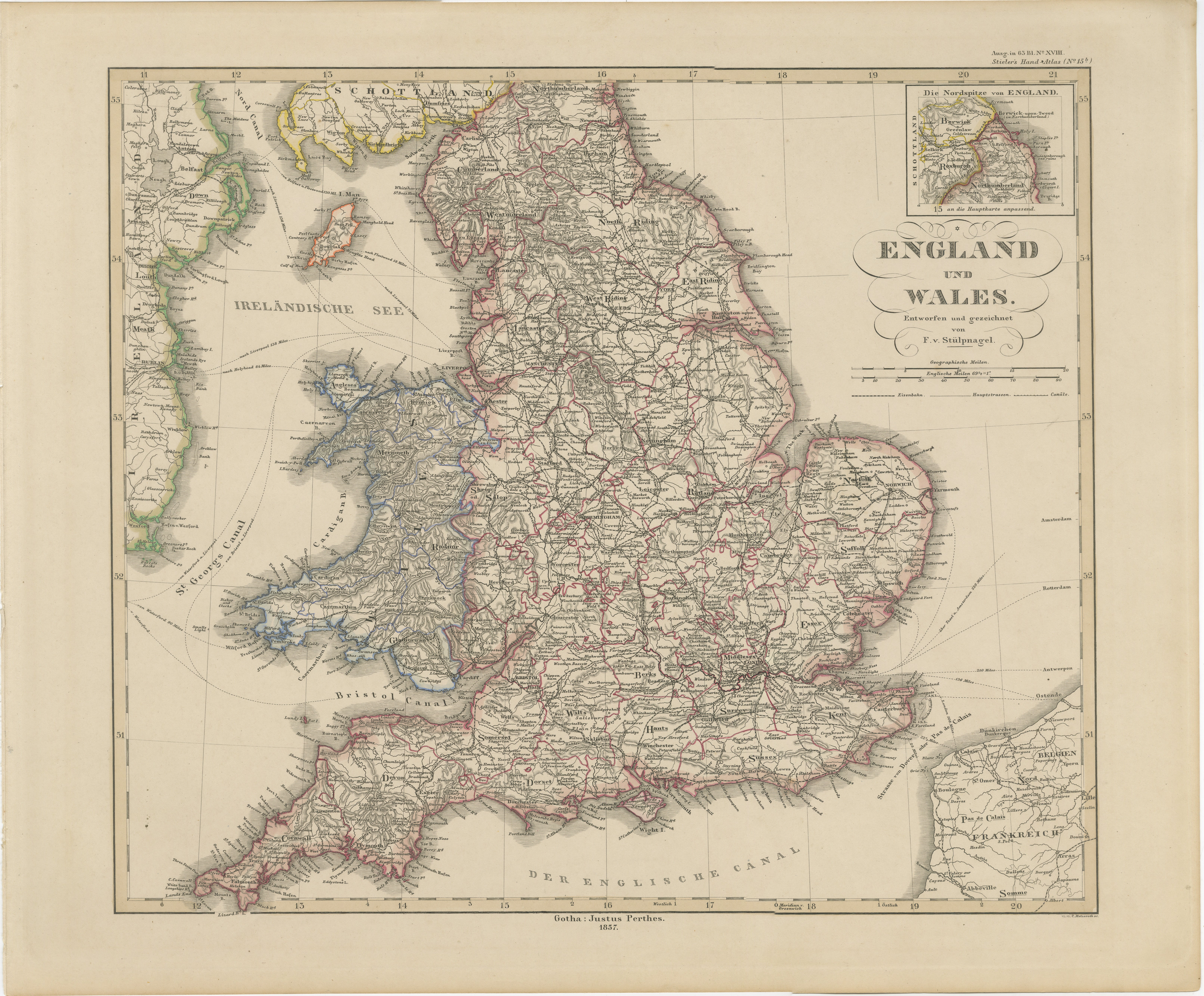
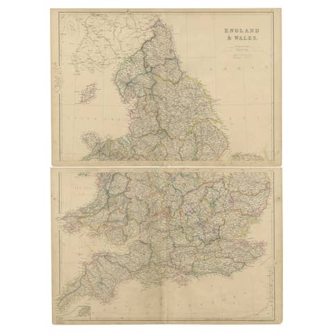
Antique Map of England & Wales – Hand-Colored Engraving by Stülpnagel, 1857
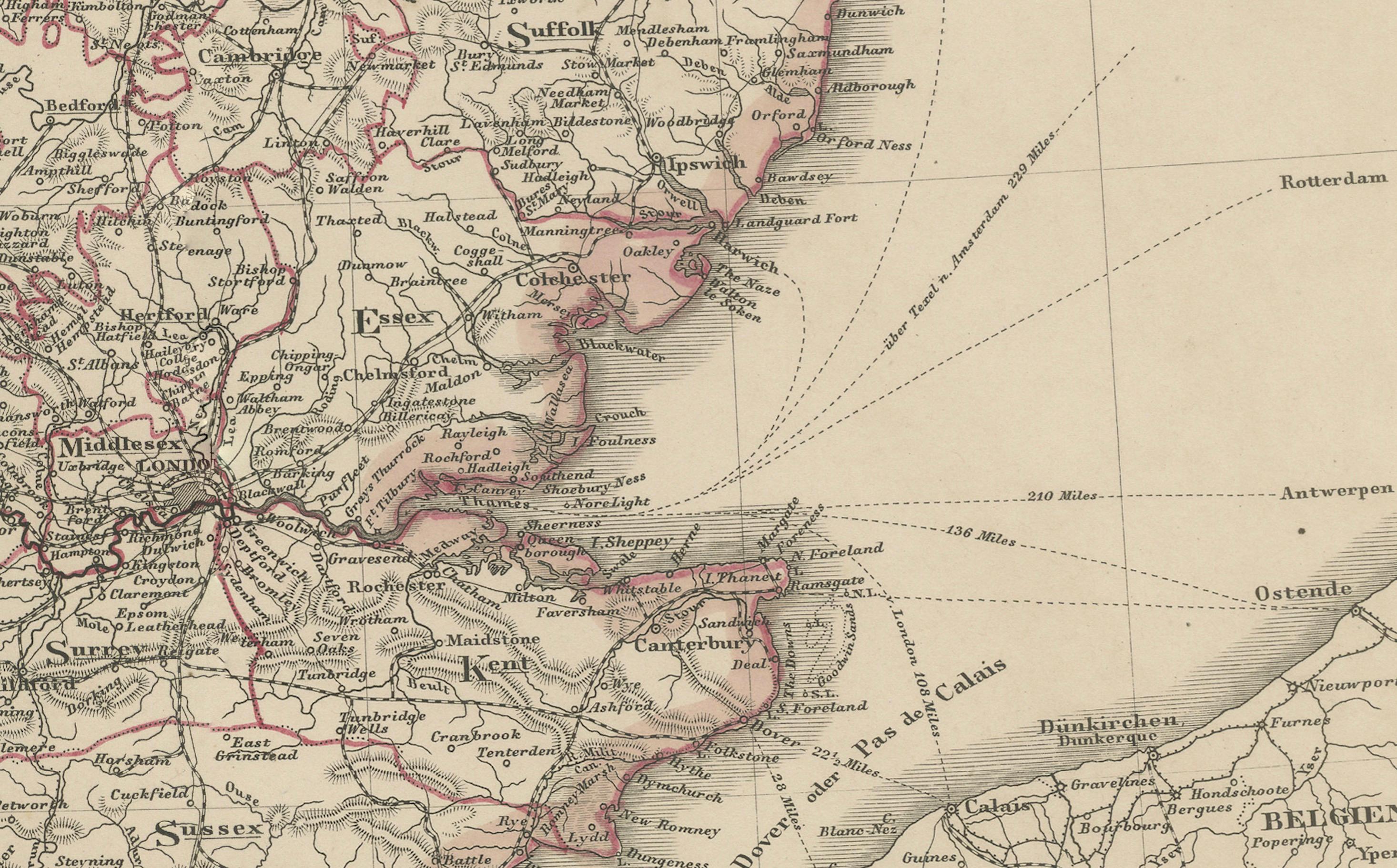
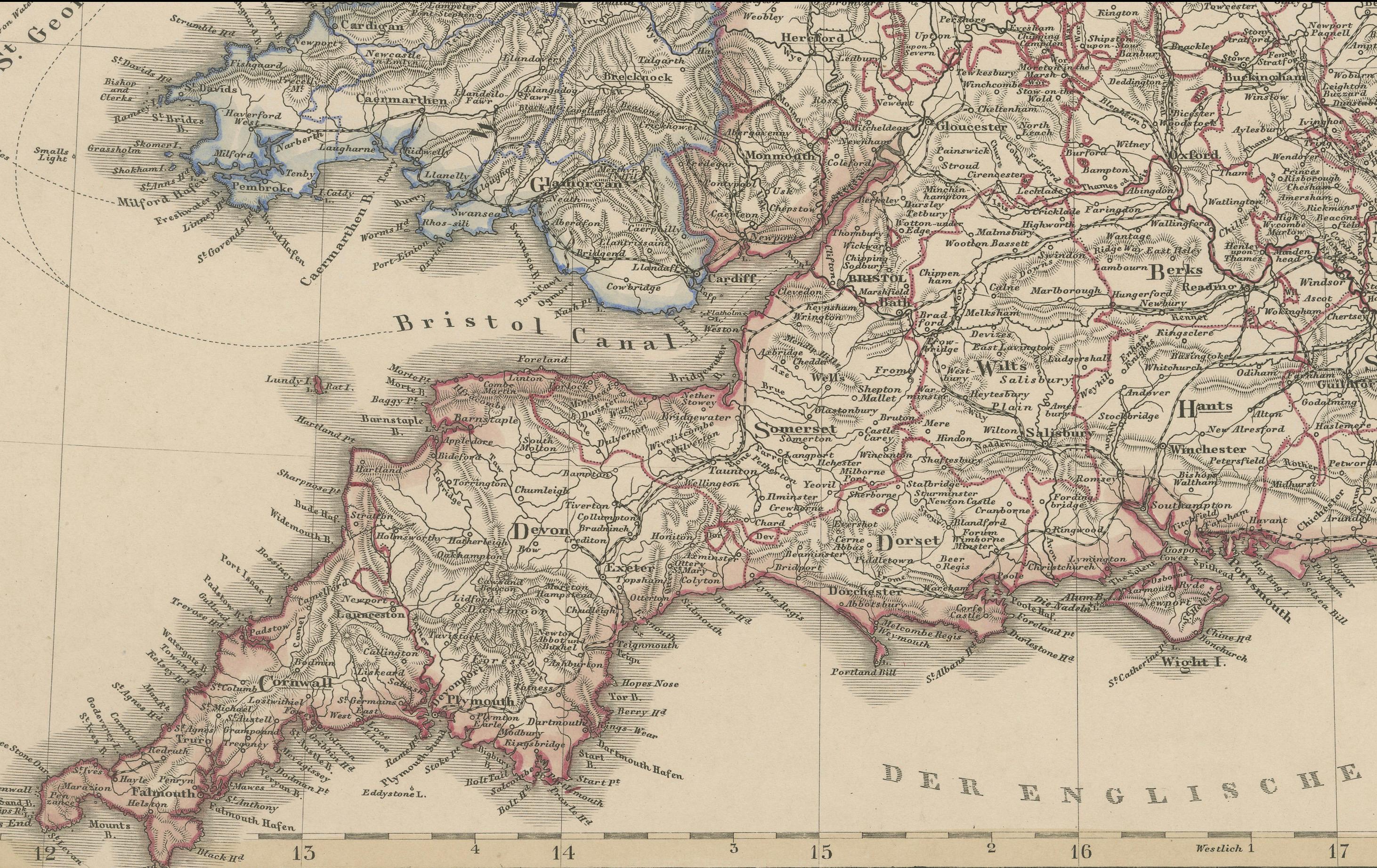
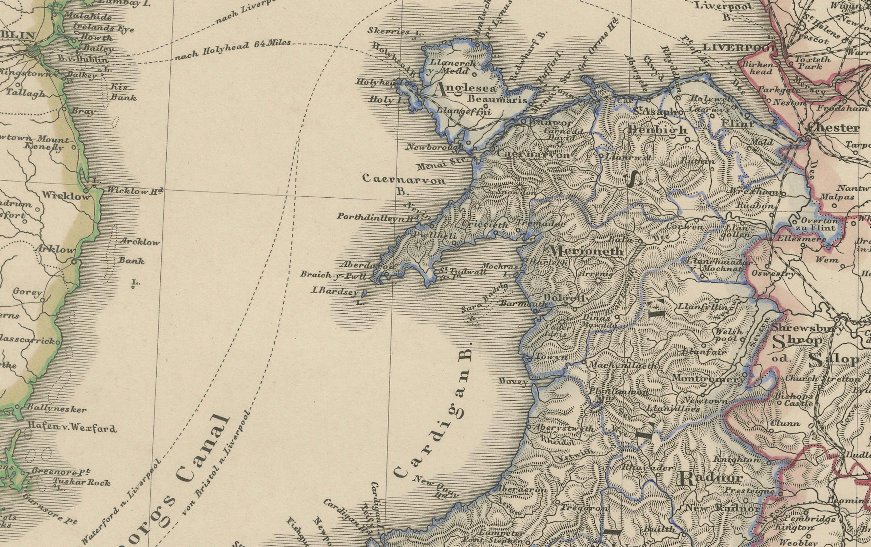
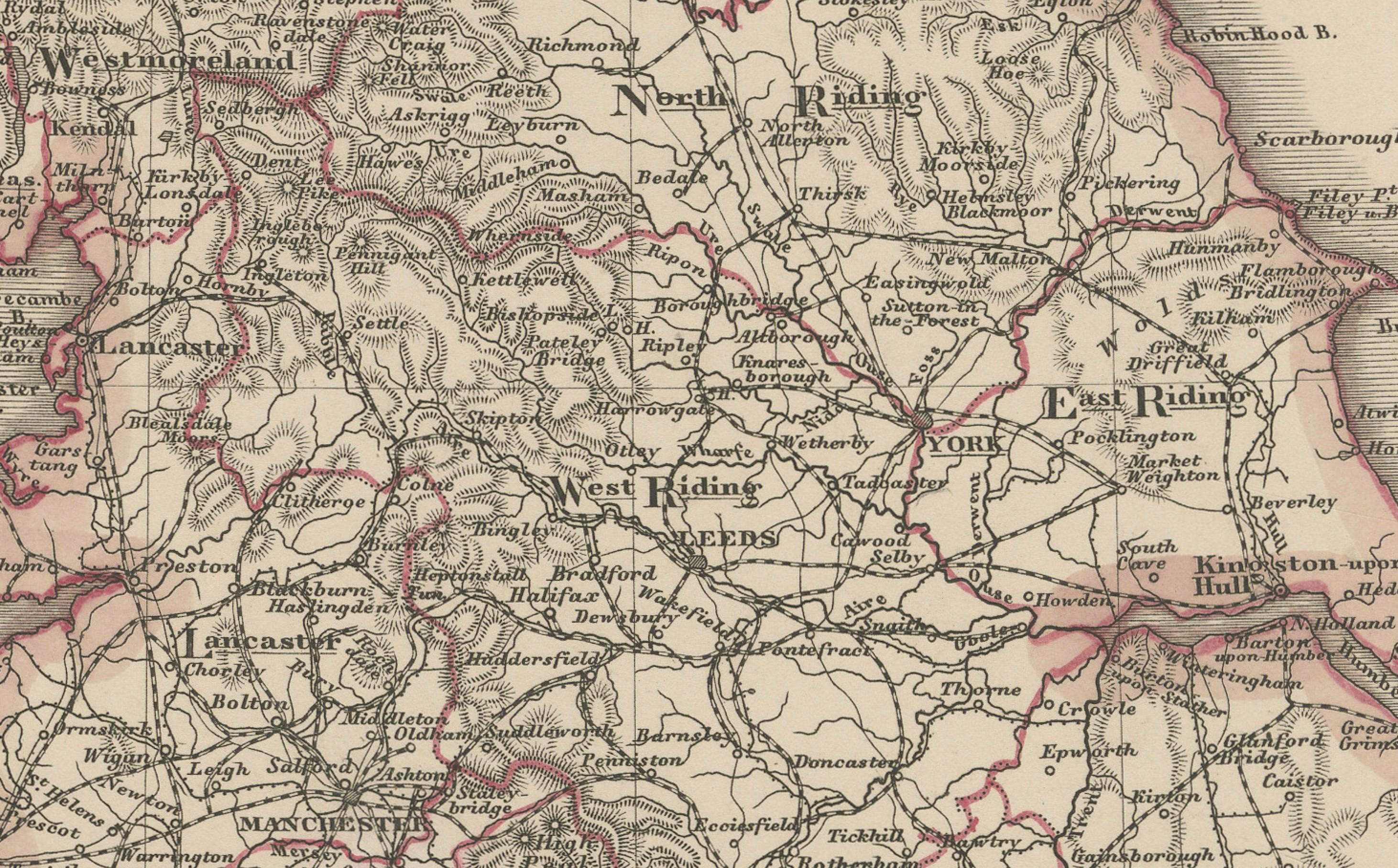
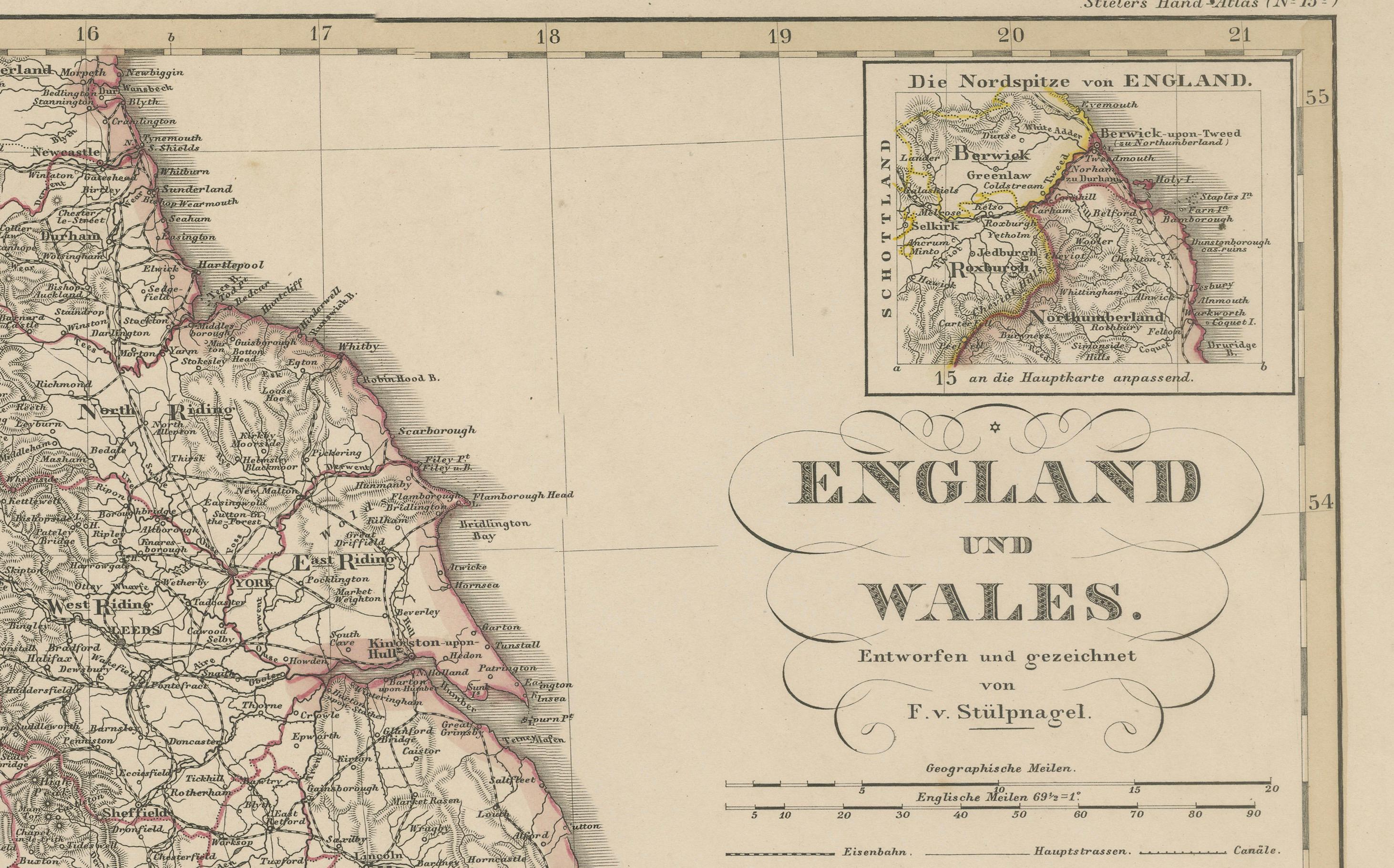
Fine 19th-century map titled "England und Wales", drawn and engraved by Friedrich von Stülpnagel and published by Justus Perthes in Gotha in 1857. This highly detailed copperplate engraving presents the entirety of England and Wales with remarkable clarity, showcasing county borders, cities, rail lines, and major roads.
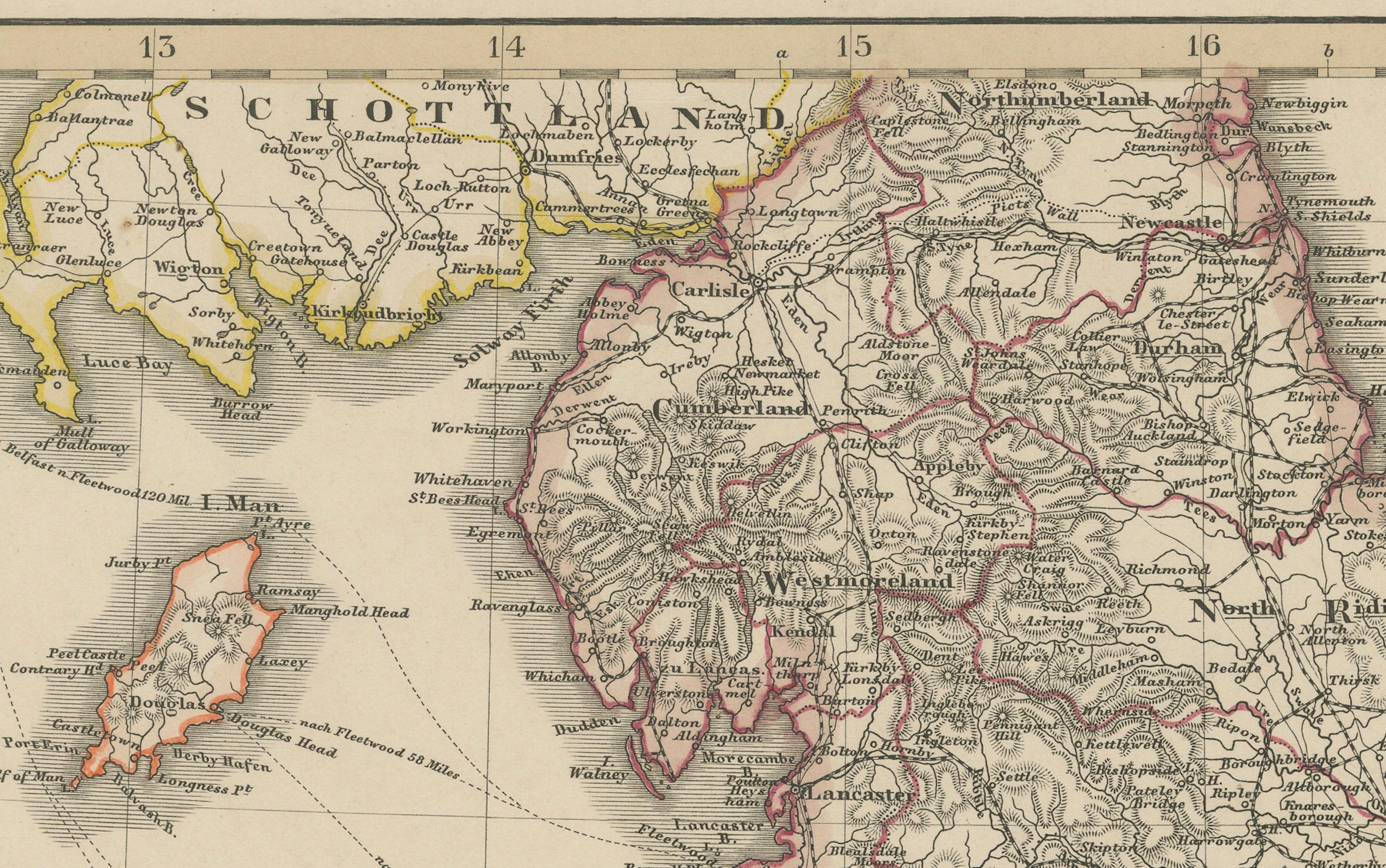
Each historic county is outlined in hand-applied color, with careful attention to the geography and political divisions of mid-Victorian Britain. Major cities—including London, Manchester, Liverpool, Birmingham, Bristol, and Cardiff—are prominently featured, alongside a dense network of smaller towns and transport routes. The Welsh coastline and mountainous regions are engraved with topographical detail, and the Isle of Man is also clearly included.
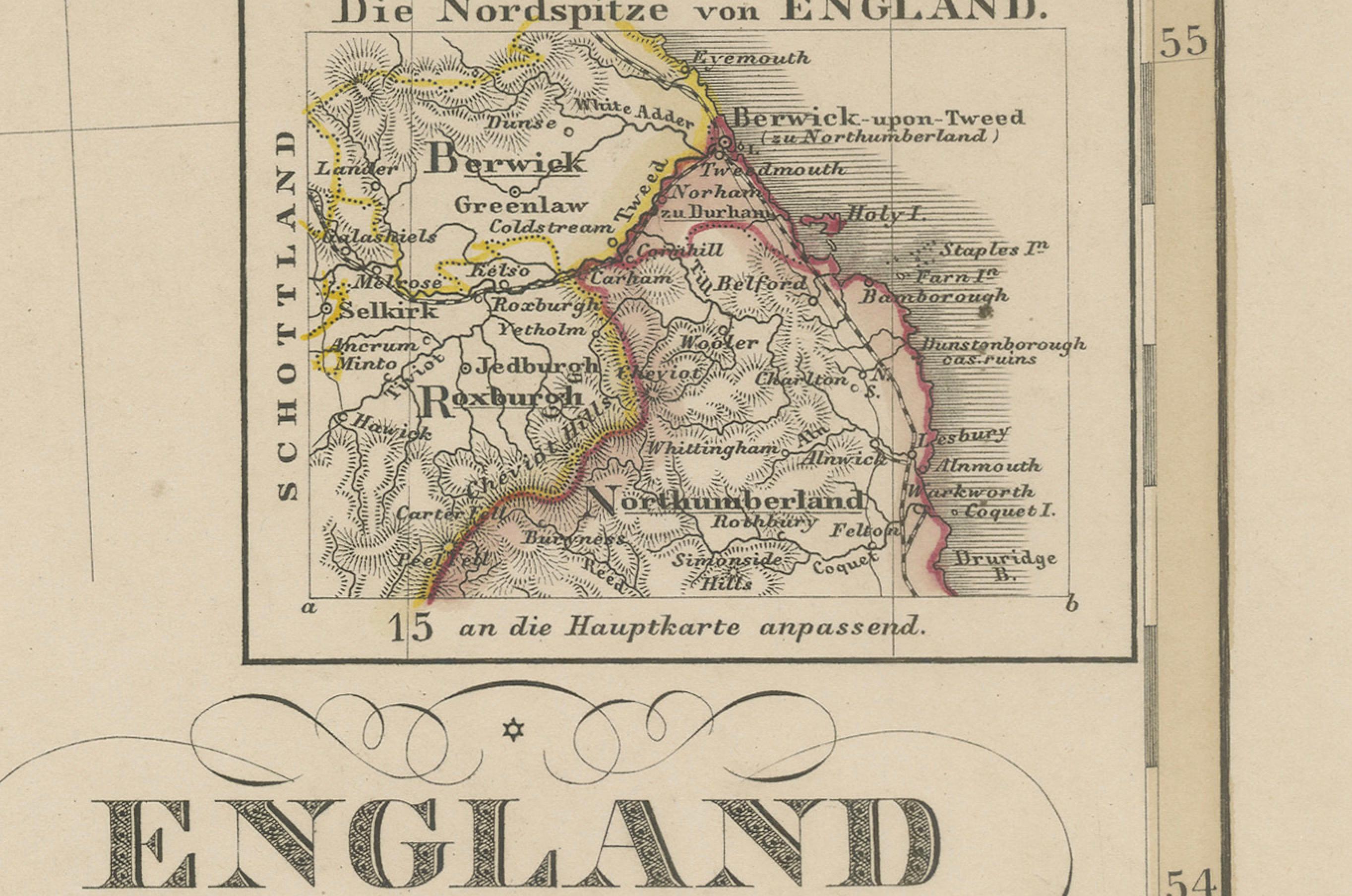
An inset at upper right zooms in on the far northeast of England (Die Nordspitze von England), showing the border region between Northumberland and Scotland. A secondary inset at the lower right corner displays the English Channel crossing to Calais, France.
This map reflects Britain during the peak of its industrial expansion and rail development. The layout shows significant early rail lines and their interconnections across the country. It offers both historical interest and aesthetic appeal for collectors of British history, cartography, or 19th-century travel.
Published by the renowned German cartographic firm Justus Perthes and executed by one of its leading cartographers, this map is a classic example of precise, decorative, and scholarly European mapmaking.
Condition report:
Very good condition. Minor age-related toning at the margins. Original hand-coloring is vivid and intact. No tears, foxing, or repairs noted. Please refer to the image for detail.
Framing tips:
A classic map like this pairs well with a black or dark mahogany frame and an off-white mat. A fine red or navy accent line may complement the county border colors. Suitable for display in an office, library, or collection of British or Victorian-era artifacts.
Technique: Copperplate engraving with original hand-coloring
Maker: F. von Stülpnagel, published by Justus Perthes, Gotha, 1857