Antique Maps of Asia
1,109 original sheets
Asia as a Whole 125North Asia 41Central Asia 20West Asia & the Holy Land 319South Asia 153East Asia 153South-East Asia 298
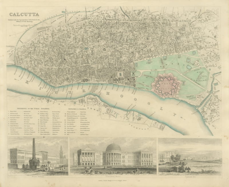
Antique Plan of Calcutta with Fort William and Three Views, 1847
1847 · € 840
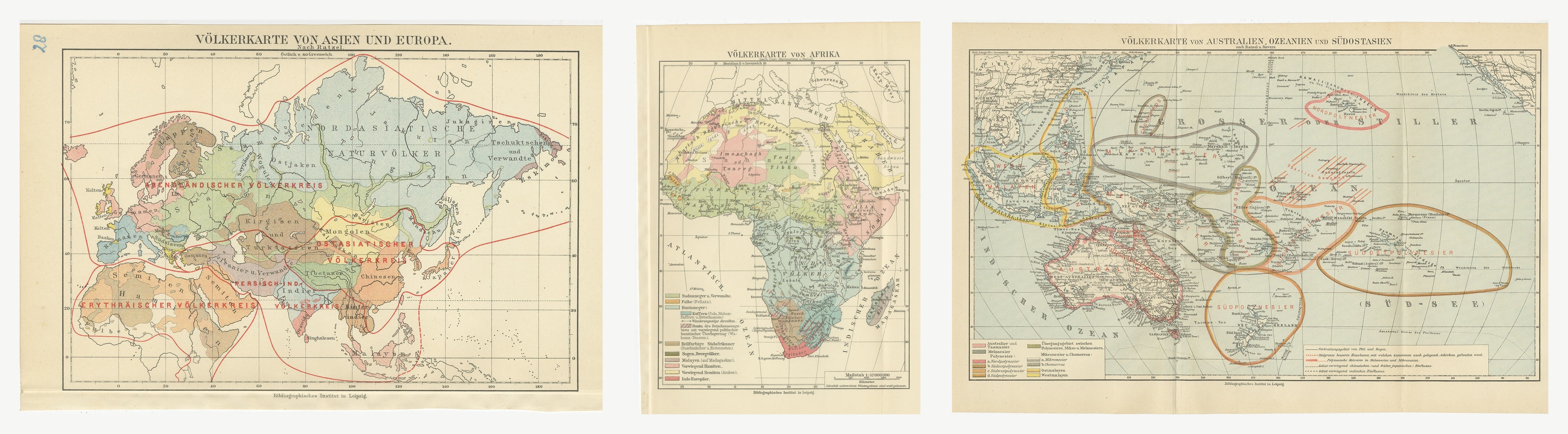
Antique Ethnographic Maps of the Old World, Set of Three, Meyers, 1916
1916 · € 270
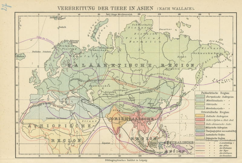
Antique Zoogeographic Map of Asia after Alfred Russel Wallace, 1916
1916 · € 70
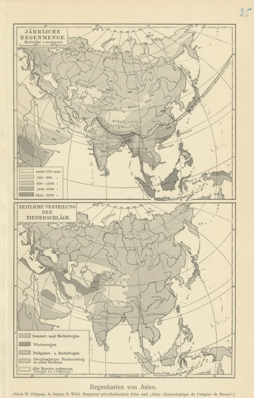
Antique Rainfall Maps of Asia after Koppen and Supan, 1916
1916 · € 70
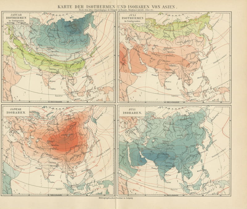
Antique Isotherm and Isobar Map of Asia in Four Panels, 1916
1916 · € 95
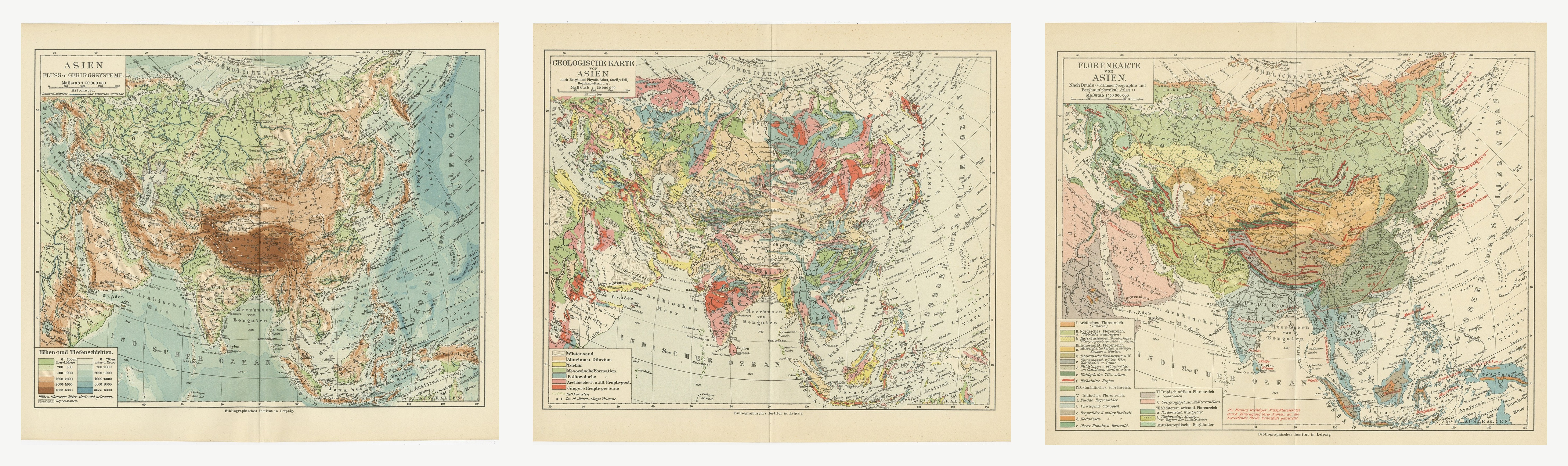
Antique Maps of Asia, Relief, Geology and Flora, Set of Three, 1916
1916 · € 230
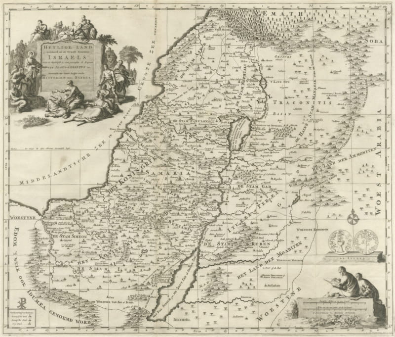
The Holy Land Divided into the Twelve Tribes of Israel, Mortier, 1700
circa 1700 · € 570
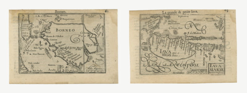
Borneo and Java, Miniature Maps by Petrus Kaerius, Pair, circa 1600
circa 1600 · € 780
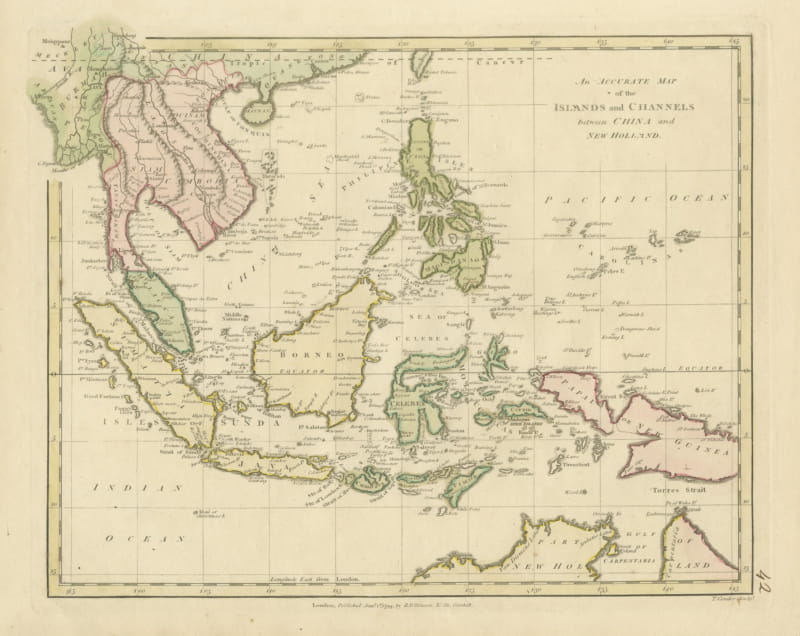
Antique Map of the Islands and Channels between China and New Holland, c. 1780
circa 1780 · € 390
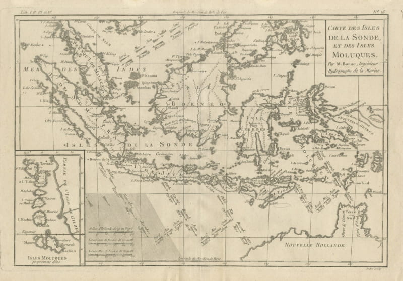
Antique Map of the Sunda Islands and the Moluccas by Bonne, circa 1780
circa 1780 · € 330
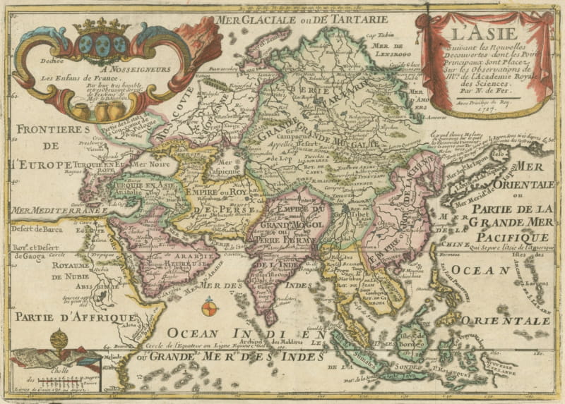
Antique Map of Asia by Nicolas de Fer, Hand Colored, 1717
1717 · € 650
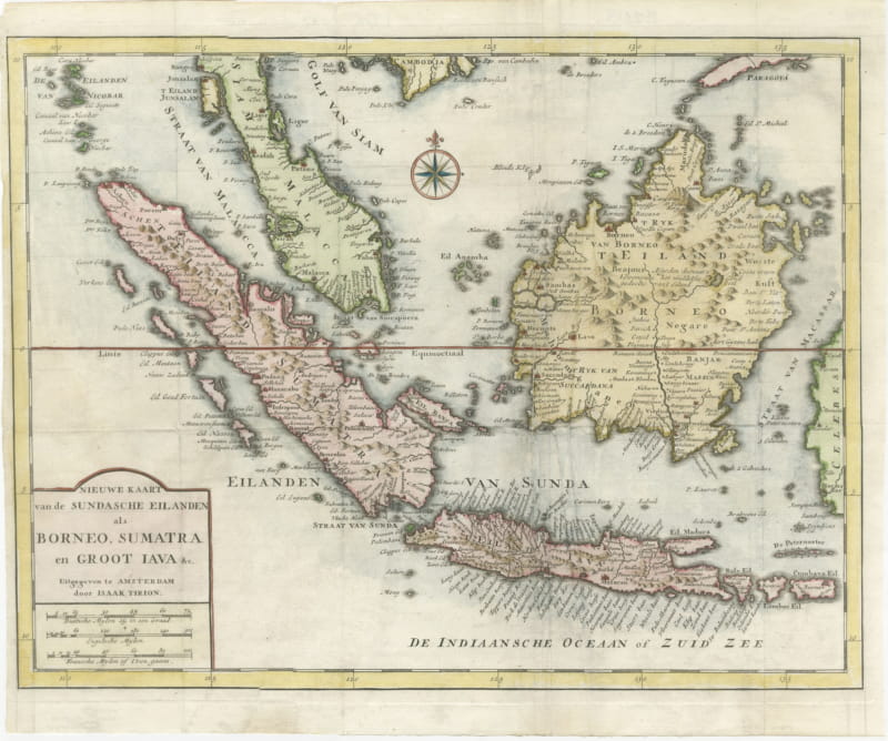
Tirion Map of Borneo, Sumatra and Java with the Strait of Sunda, circa 1755
circa 1755 · € 245
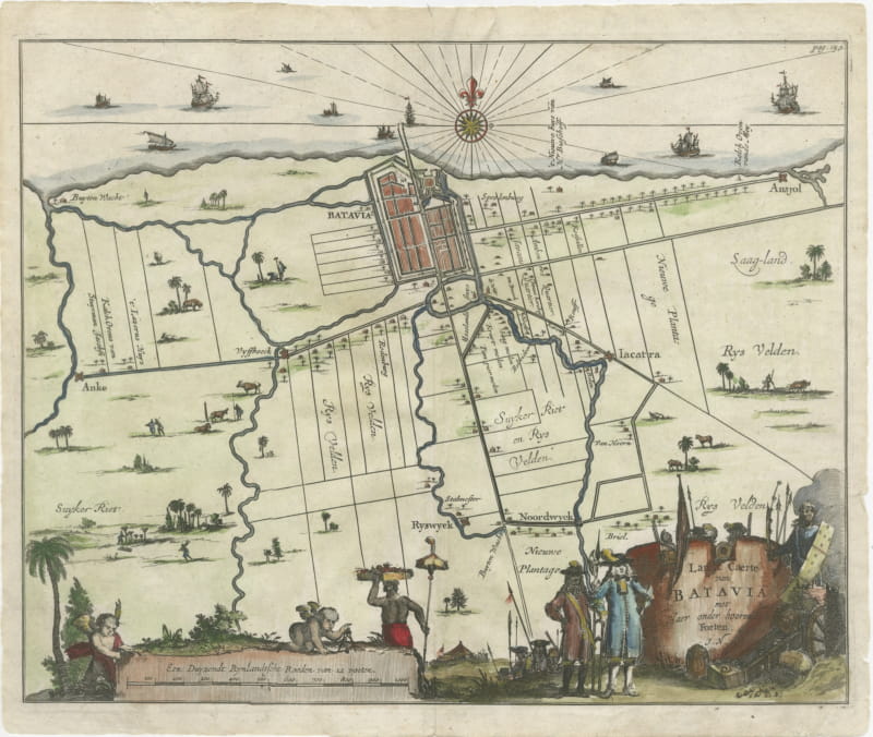
Walled Batavia and Its Outlying Forts, Dutch Engraved Plan, circa 1715
circa 1720 · € 490
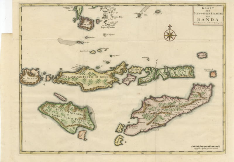
Hand-Colored Chart of Timor, Solor and the Southwest Banda Islands, 1726
1724-1726 · € 440
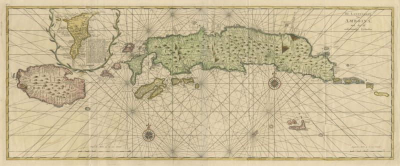
Amboina and Its Eleven Islands: Broad Valentijn Double-Page Chart, 1726
1724-1726 · € 740
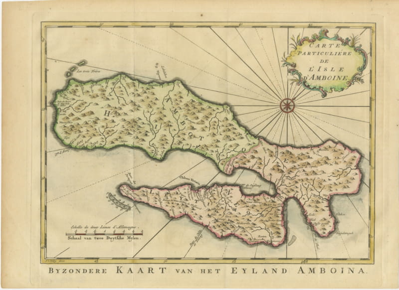
Map of Ambon Island with Chateau Victoria, Schley, circa 1753
circa 1753 · € 310
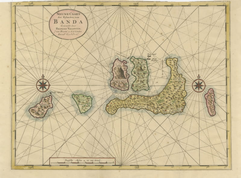
Valentijn Sea Chart of the Banda Nutmeg Islands with Poelo Rhun, 1726
1724-1726 · € 640
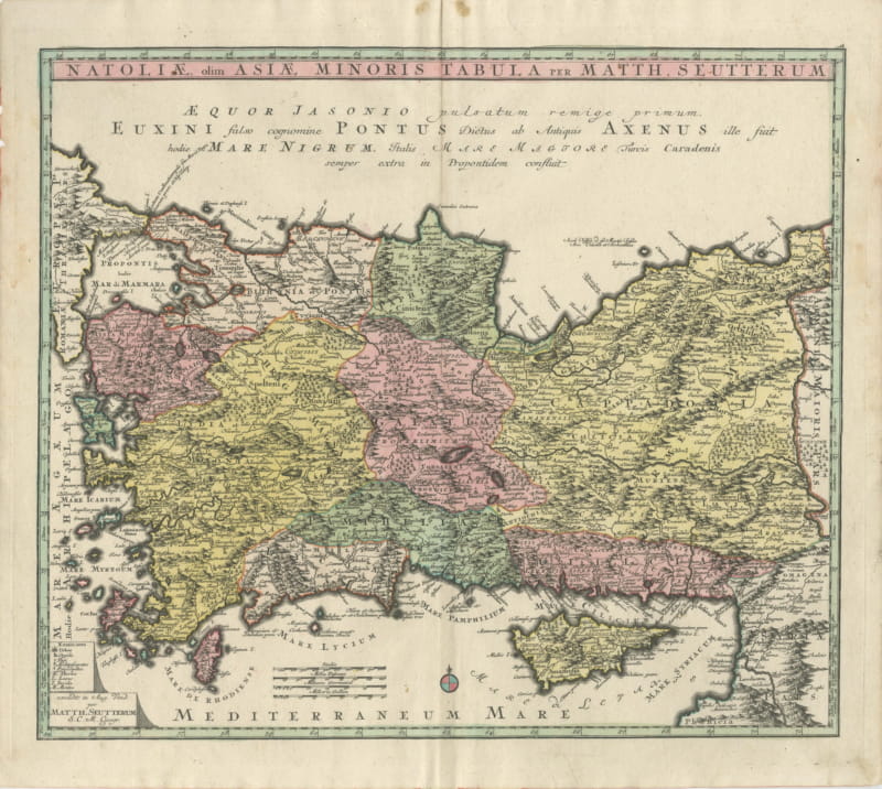
Antique Map of Asia Minor and Cyprus by Matthaeus Seutter, circa 1740
circa 1740 · € 1 100
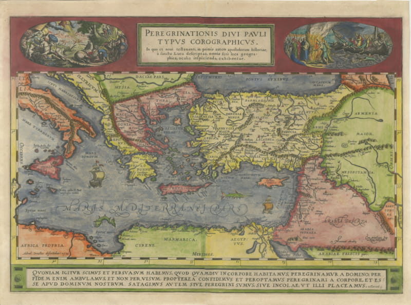
The Travels of Saint Paul, Antique Map by Abraham Ortelius, circa 1590
circa 1590 · € 1 750
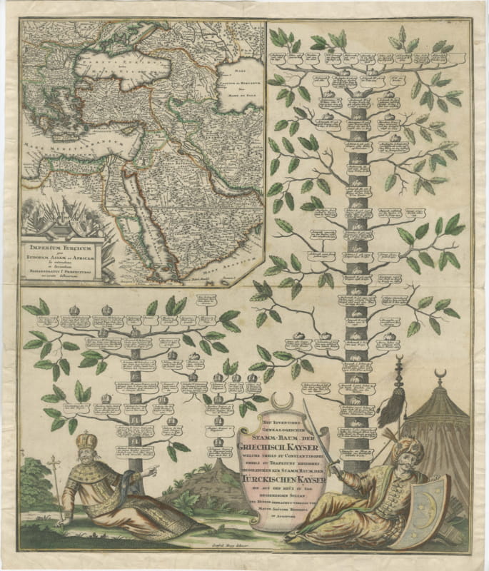
Greek and Turkish Emperors Family Tree with Map, Seutter, circa 1720
circa 1720 · € 1 200
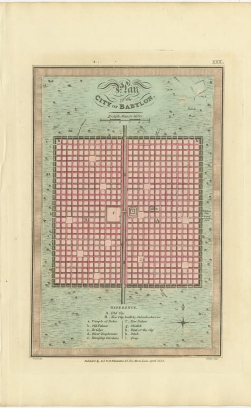
Antique Plan of the City of Babylon, Hand-Colored, Wyld, 1823
1823 · € 275
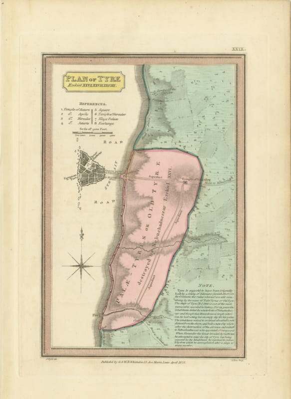
Plan of Ancient Tyre from the Book of Ezekiel, Antique Map, 1823
1823 · € 290
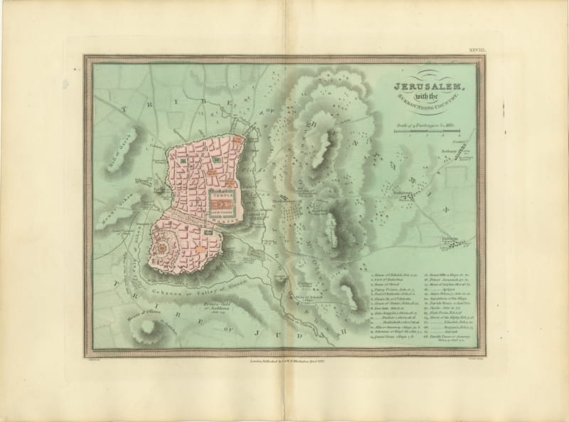
Antique Map of Jerusalem and the Surrounding Country, Wyld, 1823
1823 · € 325
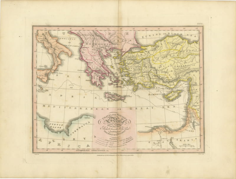
The Travels and Voyages of Saint Paul, Antique Wyld Map, 1823
1823 · € 285
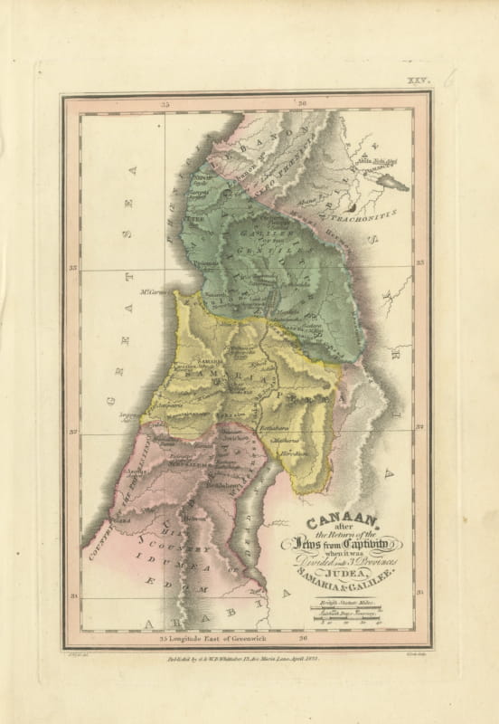
Judea, Samaria and Galilee After the Captivity, Antique Map, 1823
1823 · € 320
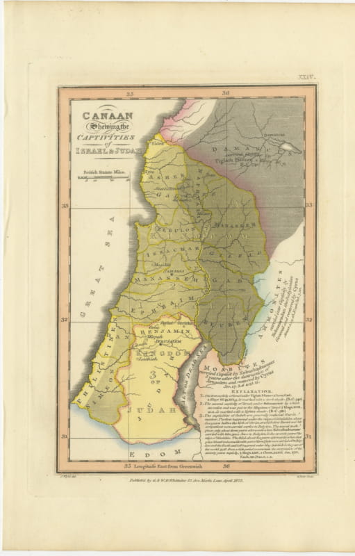
Canaan and the Captivities of Israel and Judah, Antique Map, 1823
1823 · € 355
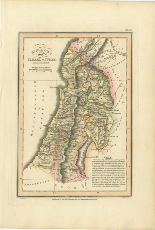
Antique Map of the Kingdoms of Israel and Judah, Hand-Colored, 1823
1823 · € 320
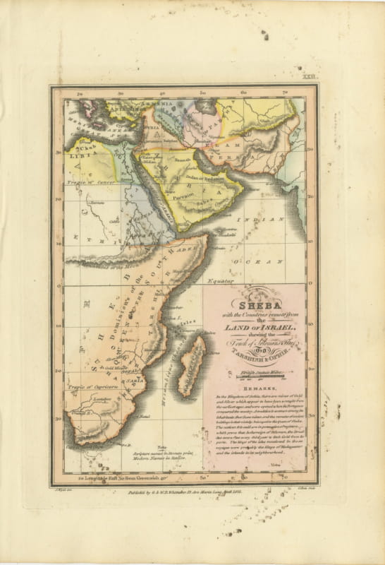
Sheba and the Voyage to Tarshish and Ophir, Antique Map, 1823
1823 · € 170
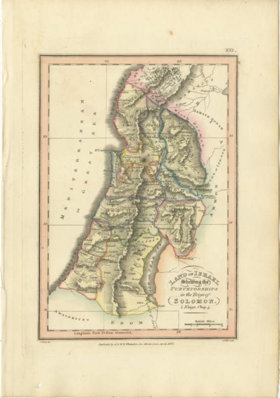
Antique Map of Solomon's Purveyorships in Israel, Wyld, 1823
1823 · € 340
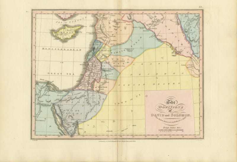
The Dominions of David and Solomon, Antique Hand-Colored Map, 1823
1823 · € 355
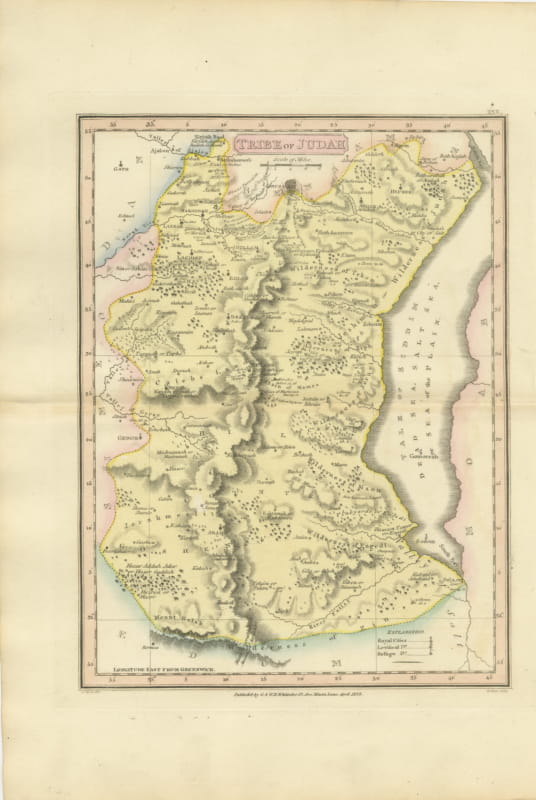
Antique Hand-Colored Map of the Tribe of Judah and the Dead Sea, 1823
1823 · € 260
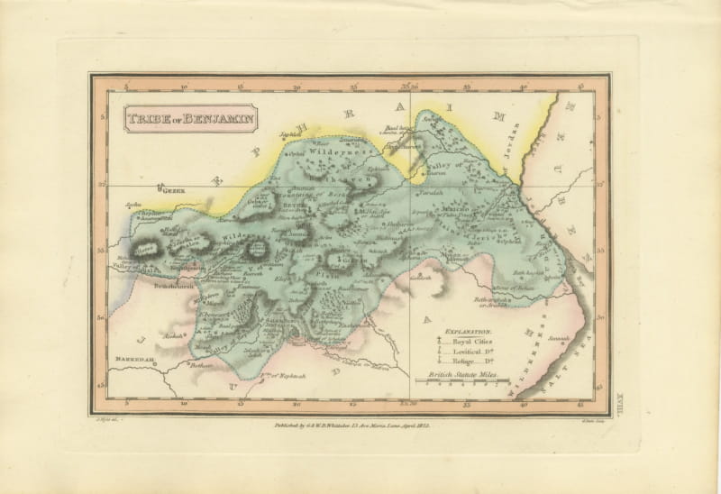
Tribe of Benjamin with Jericho and Bethel, Antique Wyld Map, 1823
1823 · € 250
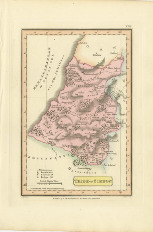
Antique Map of the Tribe of Simeon and the South Country, Wyld, 1823
1823 · € 230
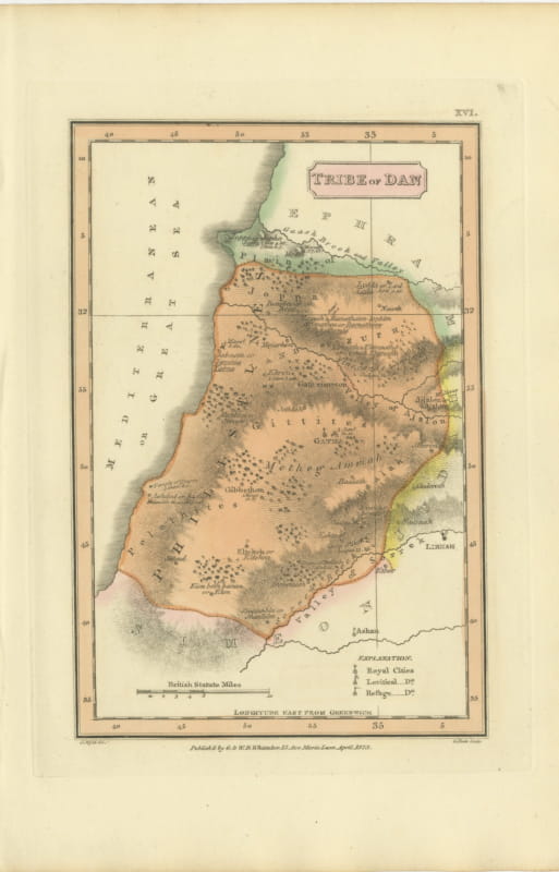
Hand-Colored Antique Map of the Tribe of Dan, James Wyld, 1823
1823 · € 245
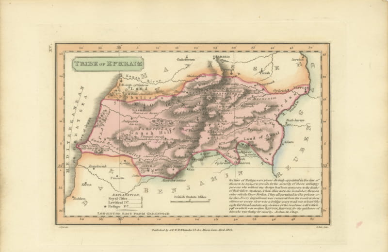
Antique Scripture Map of the Tribe of Ephraim, Hand-Colored, 1823
1823 · € 245
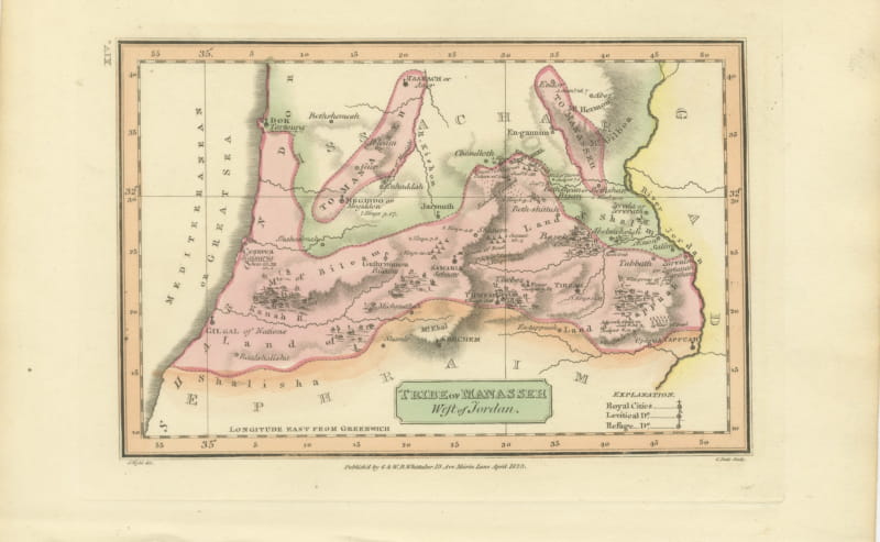
Tribe of Manasseh West of Jordan, Antique Wyld Map, 1823
1823 · € 245
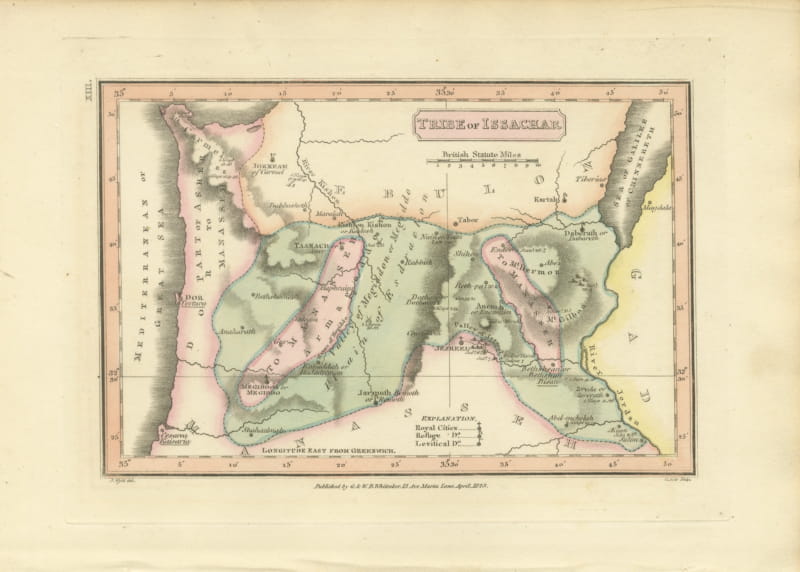
Antique Hand-Colored Map of the Tribe of Issachar, Wyld, 1823
1823 · € 245
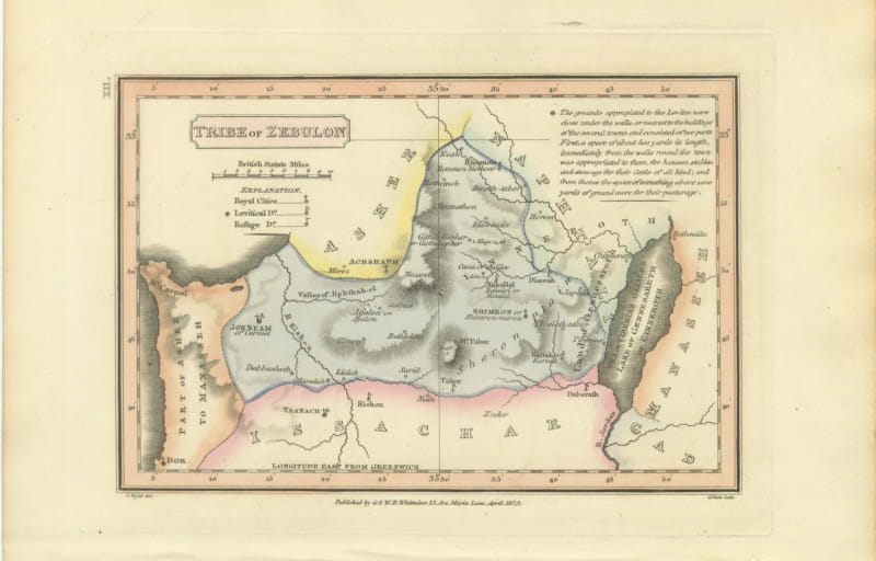
Decorative Antique Map of the Tribe of Zebulun, Wyld, 1823
1823 · € 245
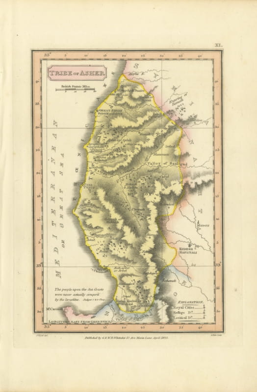
Hand-Colored Antique Map of the Tribe of Asher, Wyld, 1823
1823 · € 240
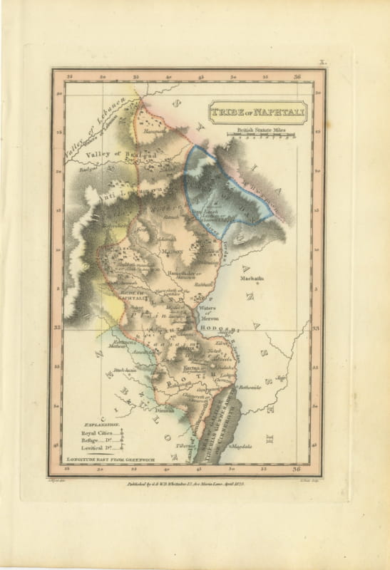
Antique Map of the Tribe of Naphtali, Wyld Scripture Atlas, 1823
1823 · € 260
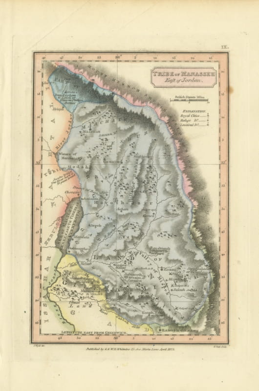
Tribe of Manasseh East of Jordan, Antique Hand-Colored Map, 1823
1823 · € 300
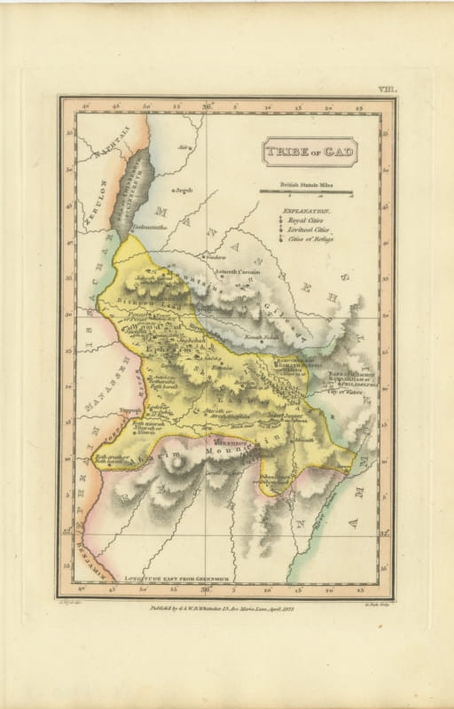
Antique Scripture Map of the Tribe of Gad, Hand-Colored, Wyld, 1823
1823 · € 260
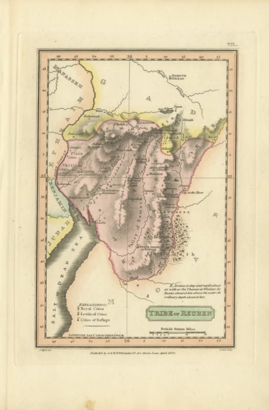
Hand-Colored Antique Map of the Tribe of Reuben, James Wyld, 1823
1823 · € 260
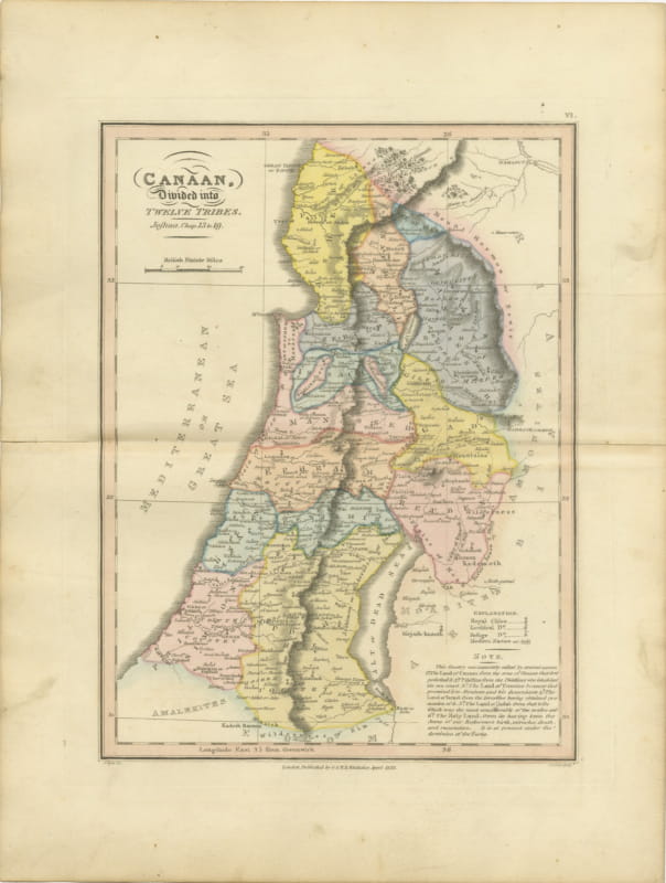
Canaan Divided into the Twelve Tribes, Antique Hand-Colored Map, 1823
1823 · € 310
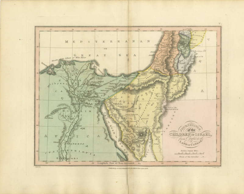
The Exodus Route from Egypt to Canaan, Antique Wyld Map, 1823
1823 · € 285
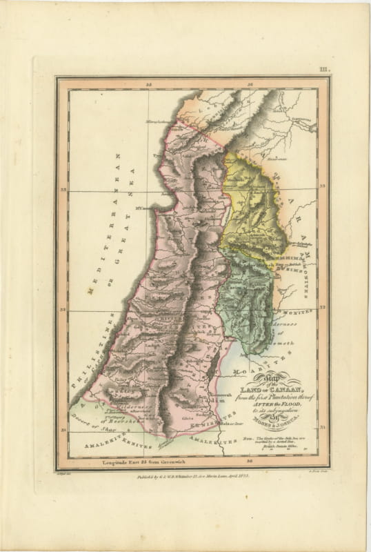
Canaan from the Flood to Moses and Joshua, Antique Hand-Colored Map, 1823
1823 · € 310
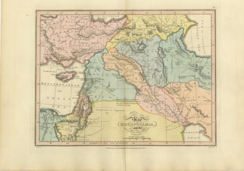
Antique Scripture Map of Mesopotamia and the Adjacent Countries, 1823
1823 · € 290
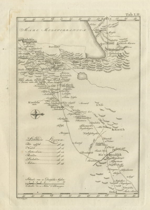
Antique Map of Northern Syria, Aleppo and Antioch, 1780
1780 · € 340