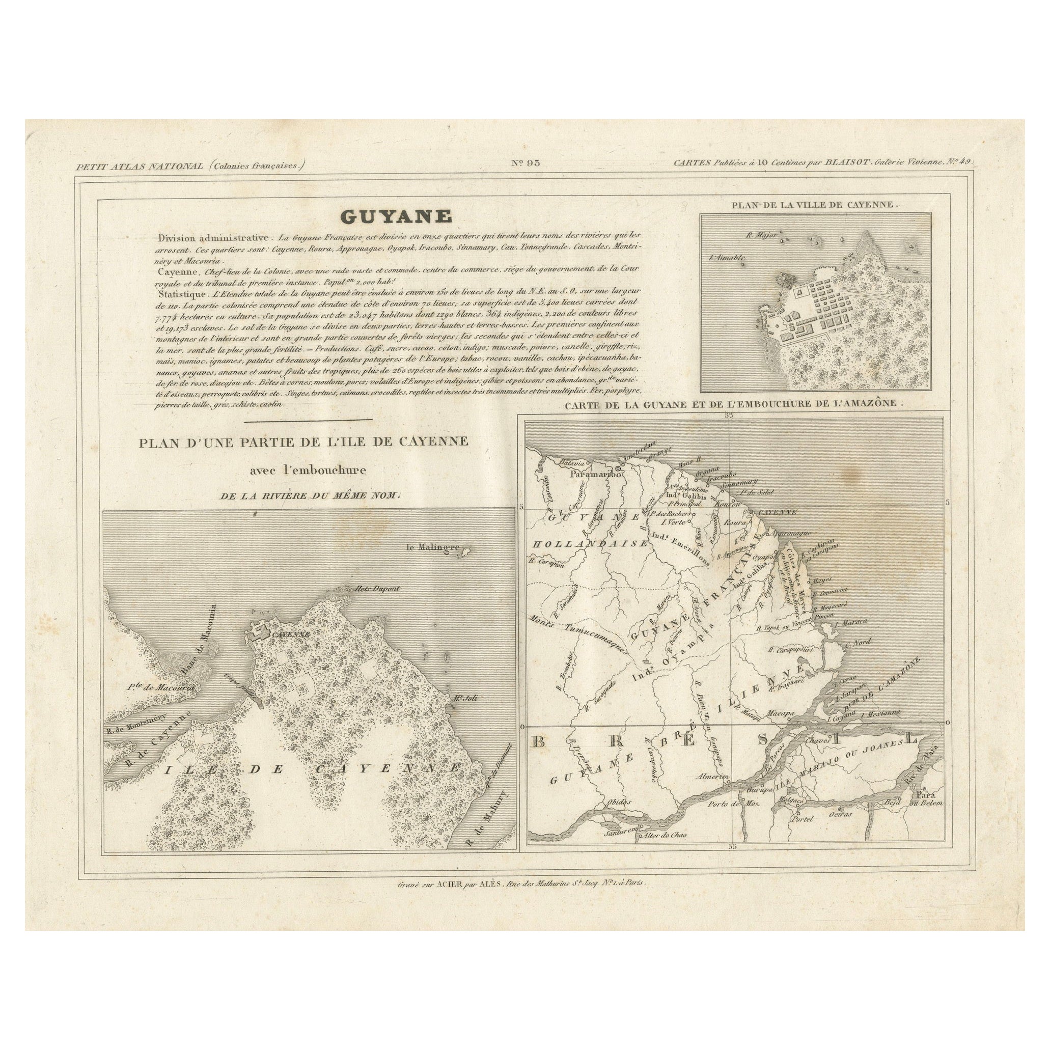
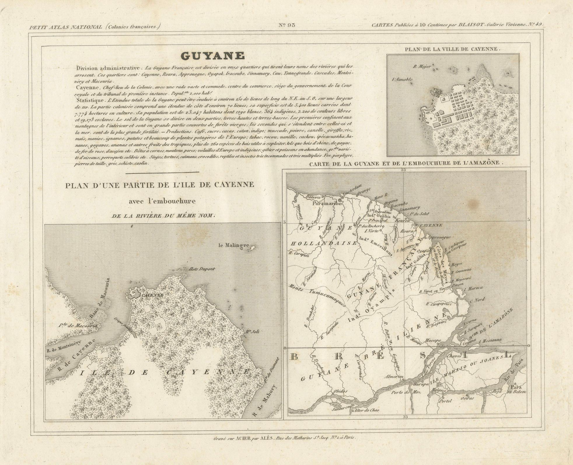
Antique Map of French Guiana and Cayenne – Circa 1835
€ 90
One of a kind: this is the sheet in the photographs. Ships from Langweer, the Netherlands.
Date
1835
Sheet size
24.5 × 31.5 cm (9.6 × 12.4 in)
Reference
BG-13039-27
Condition
good, with no tears or significant damage, but it does have some light brown areas. Ideally this map will be handcolored.
About this sheet
Antique Map of French Guiana and Cayenne – Circa 1835
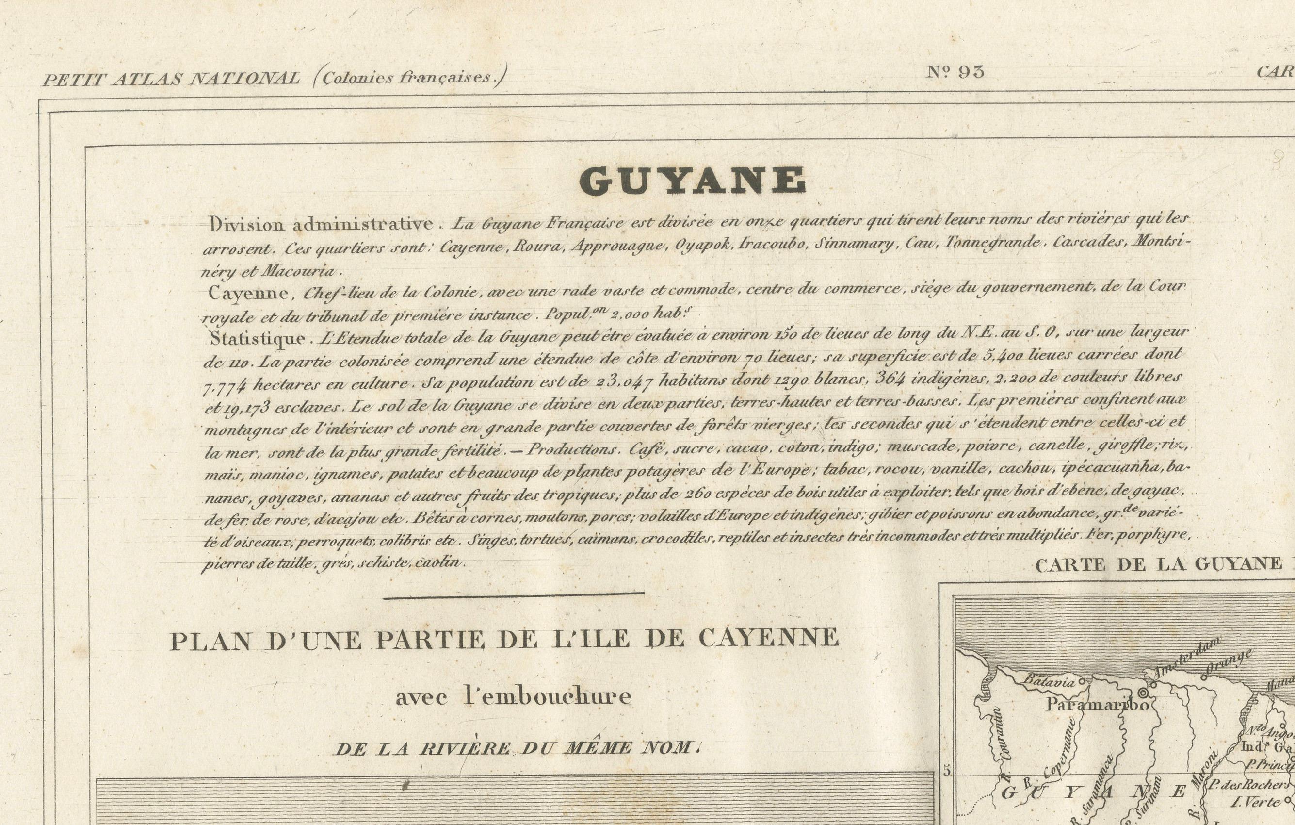
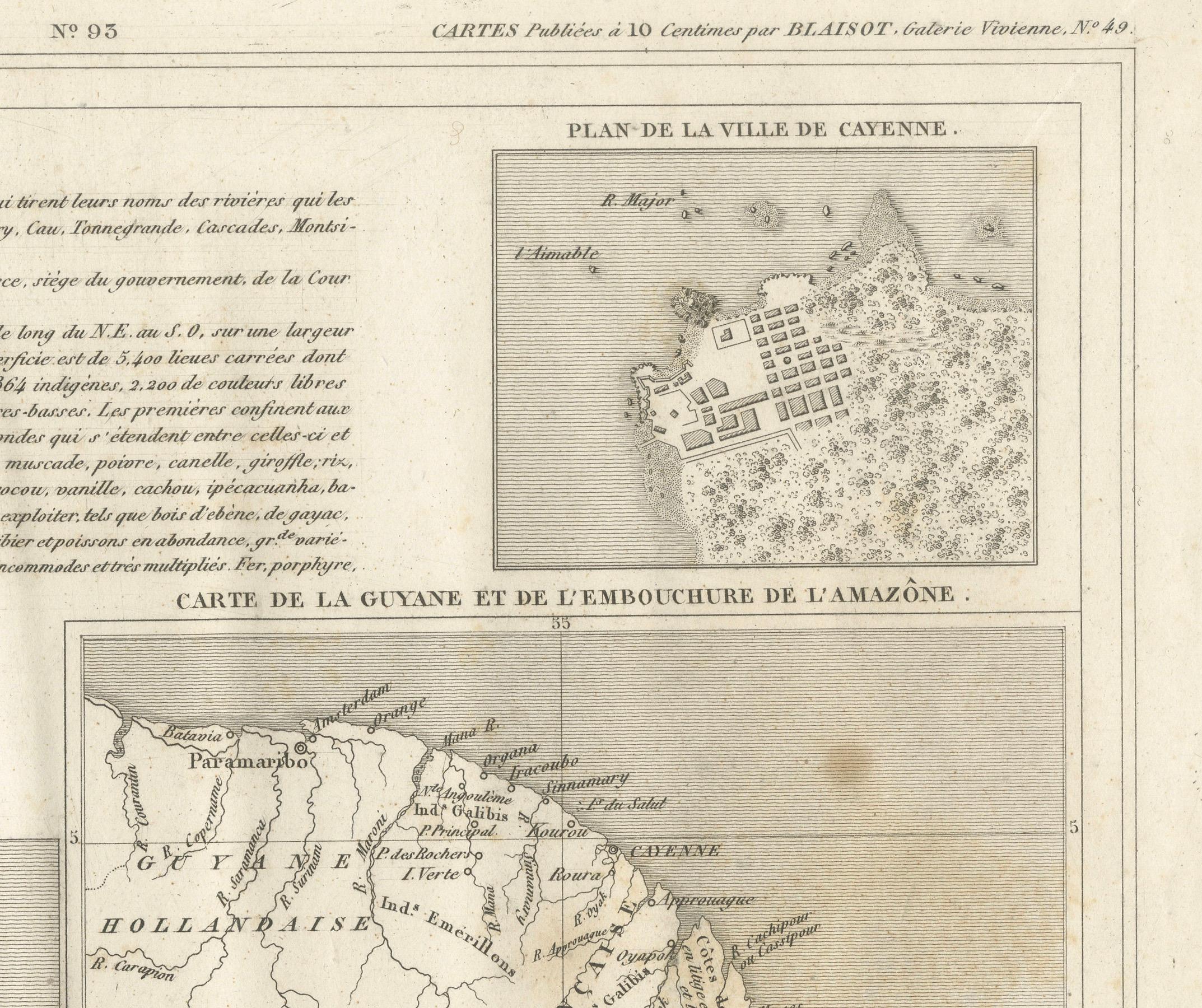
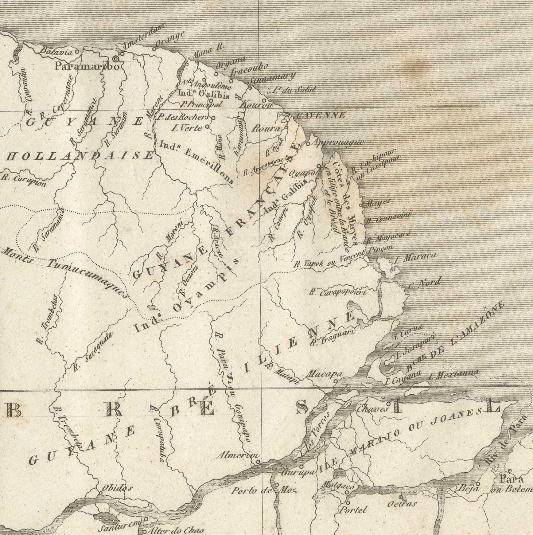
This rare 19th-century map of French Guiana, published around 1835, provides a detailed overview of the region, including the city of Cayenne and its surrounding geography. It was part of the Petit Atlas National, a collection of maps depicting French colonies. The map features three key sections:
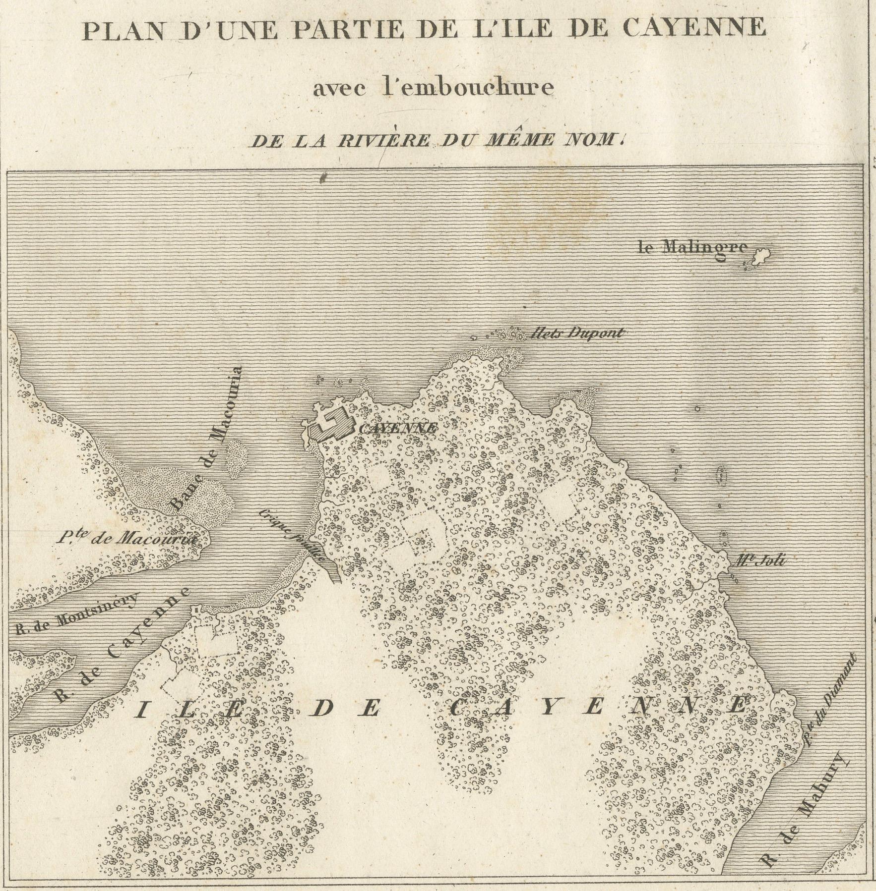
- A general map of French Guiana, including the mouth of the Amazon River, showing territorial divisions and settlements. - A detailed plan of the city of Cayenne, highlighting its streets and fortifications. - A larger map of part of the Île de Cayenne, including the mouth of the Cayenne River.
The engraving was executed by Ambroise Tardieu, a prominent French cartographer, and published by Alexandre Aimé Blanchot. The map contains fine detailing and clear typography, making it an excellent representation of the colonial geography of French Guiana during the early 19th century.
Condition Report: Paper Quality: High-quality 19th-century paper with natural toning. Engraving: Crisp and well-preserved with fine detailing. Margins: Wide margins with minor foxing and light age spots. Overall Condition: Good, with no tears or significant damage, but it does have some light brown areas. Ideally this map will be handcolored.
Framing Tips: Matting: Use a neutral acid-free mat in off-white or cream to enhance the map’s historical character. Glass: UV-resistant glass will protect against light damage and fading. Frame Style: A classic wooden frame in walnut or mahogany complements the antique aesthetic. Mounting: Use archival-quality materials to preserve the paper’s condition.
This is a rare and historically significant map, reflecting France’s colonial presence in South America.