About this sheet
Antique Map of Northeastern France – Alsace, Lorraine & Champagne, 1858
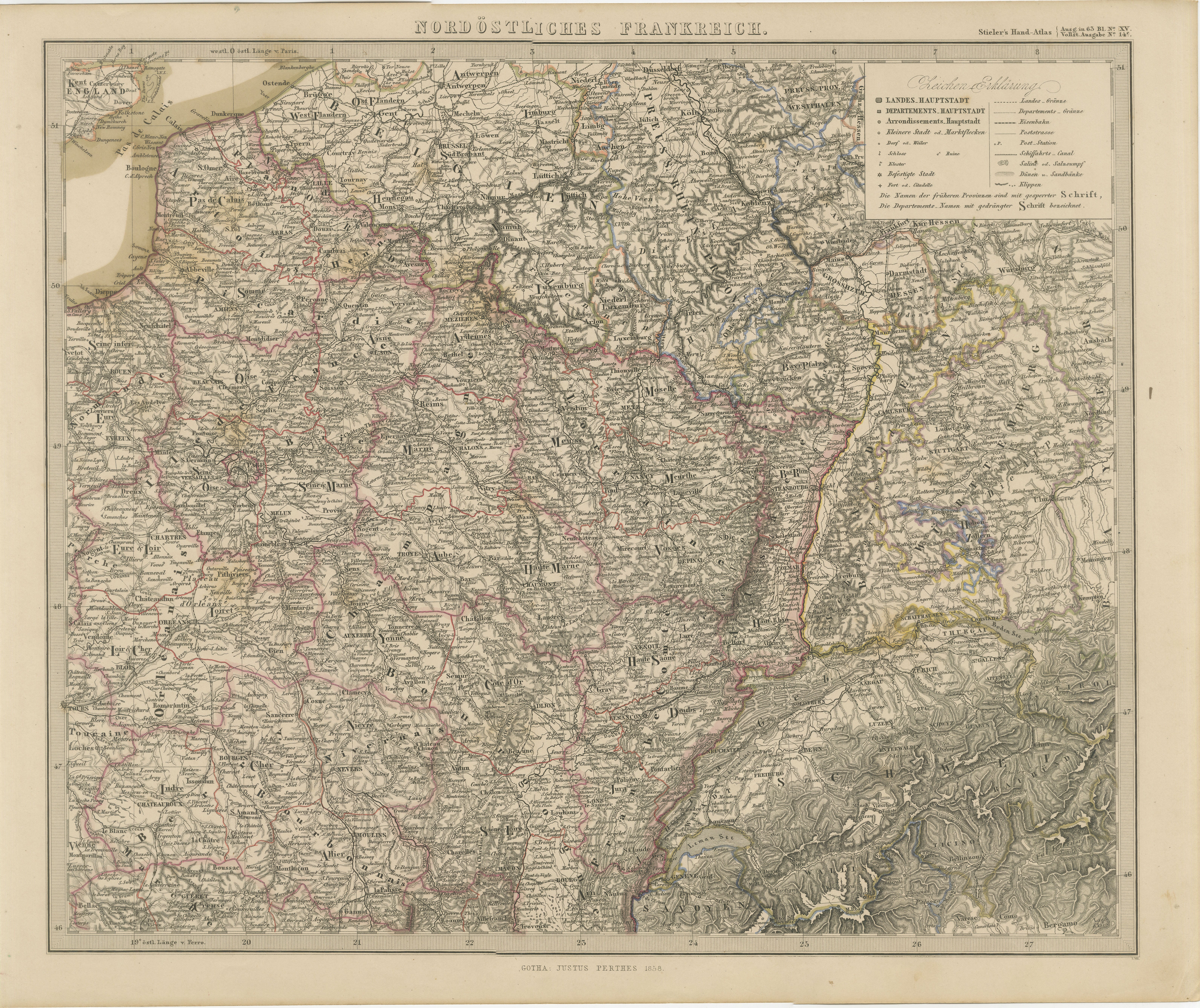
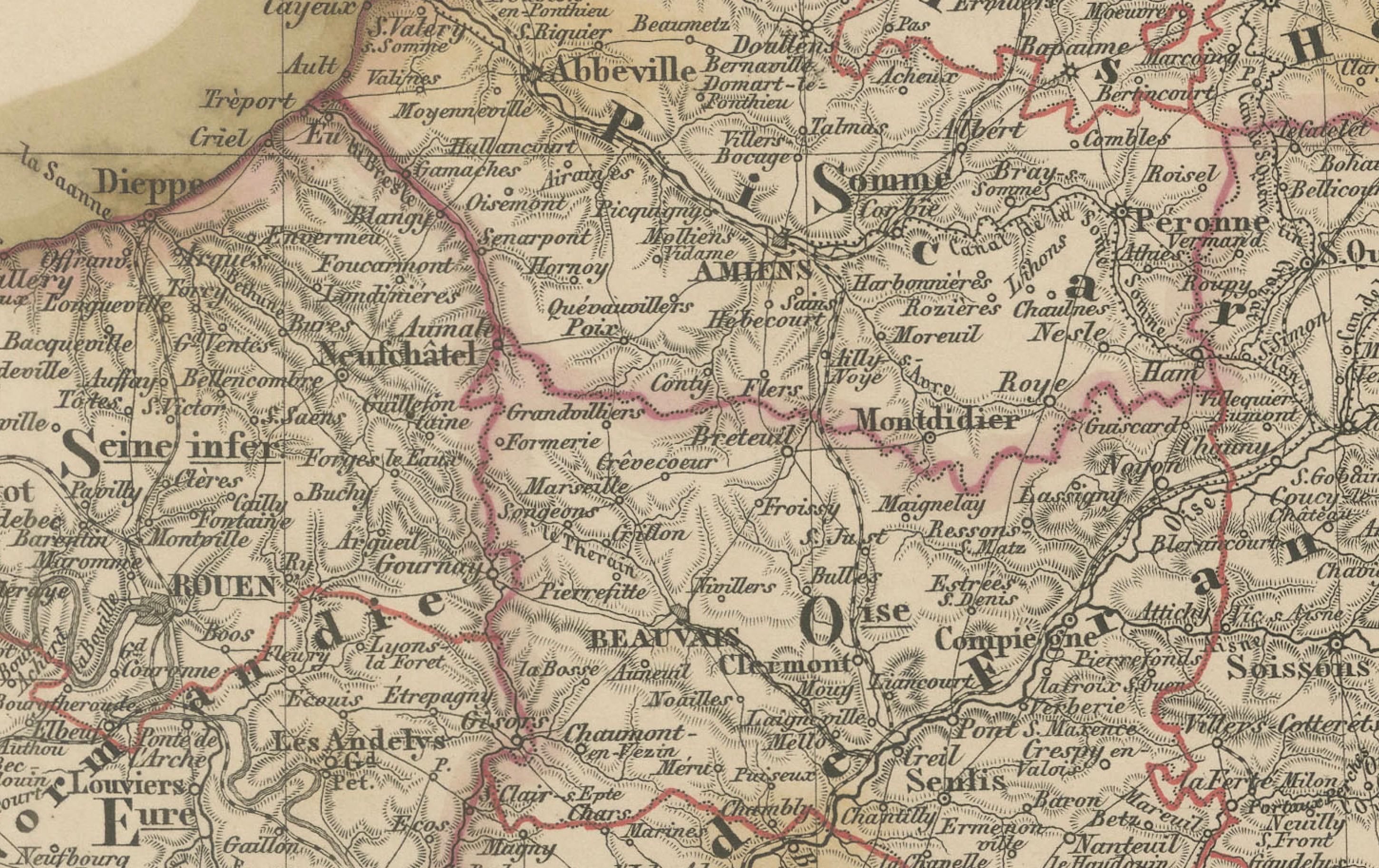
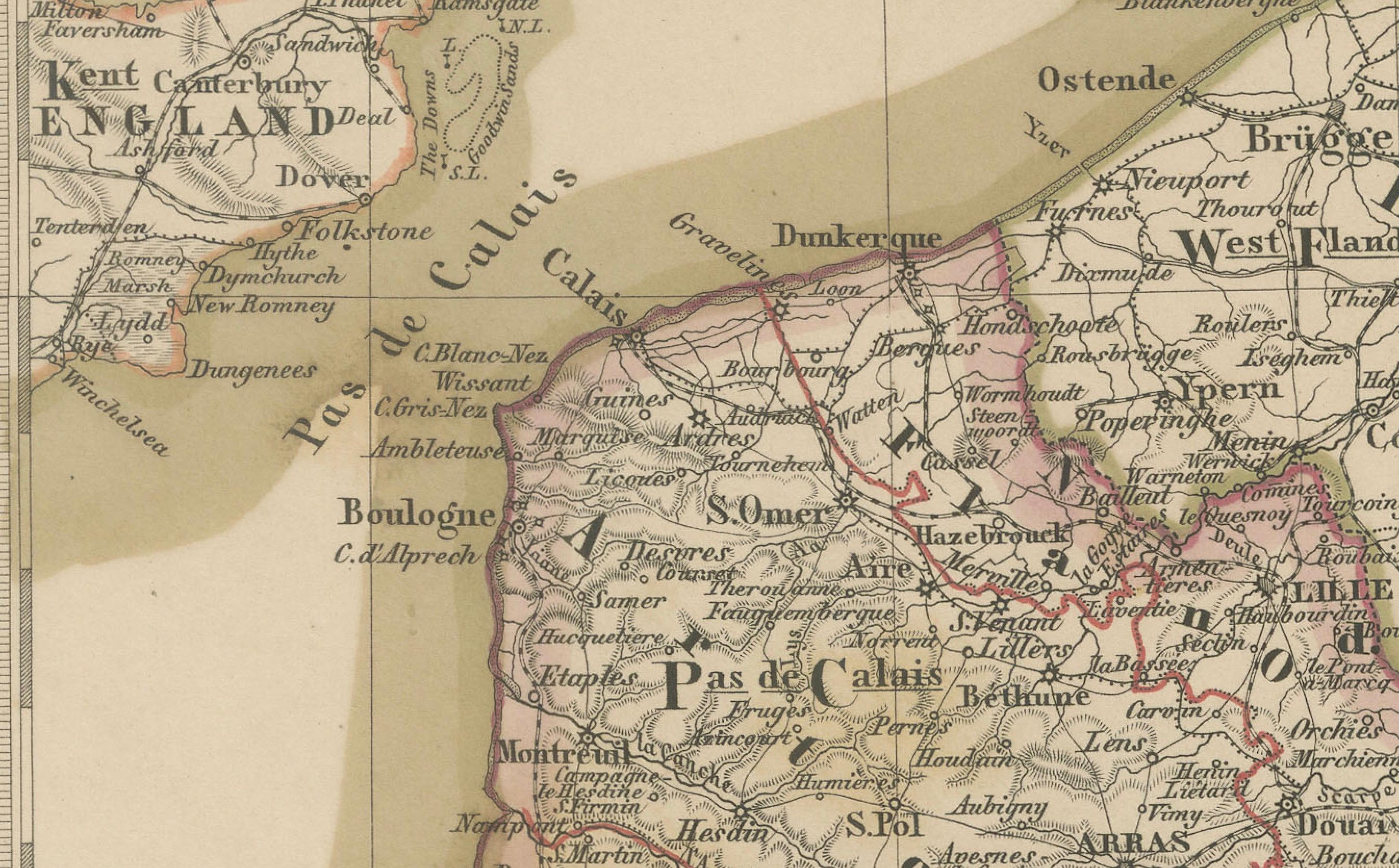
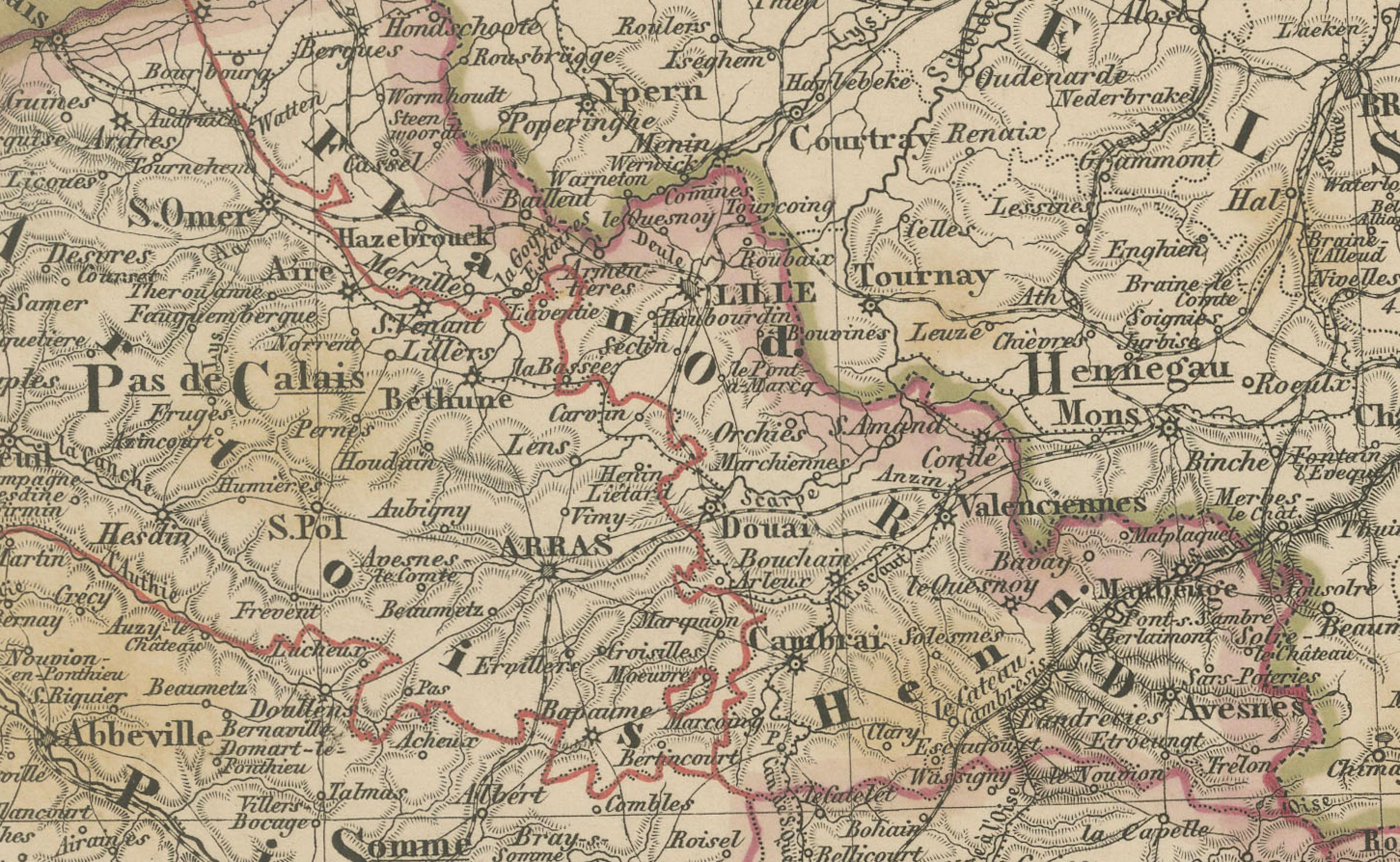
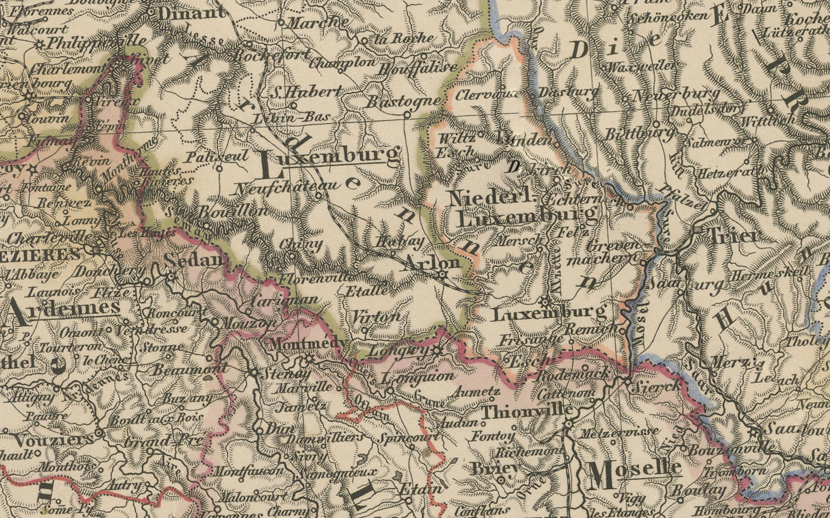
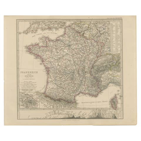
Detailed 19th-century engraved map titled "Nordöstliches Frankreich", drawn by Friedrich von Stülpnagel and published by Justus Perthes in Gotha in 1858. This is the northeastern section of a four-sheet map of France, presenting an intricate and historically significant region that includes Alsace, Lorraine, Champagne, Burgundy, and Franche-Comté—areas that would later play pivotal roles in Franco-German conflicts.
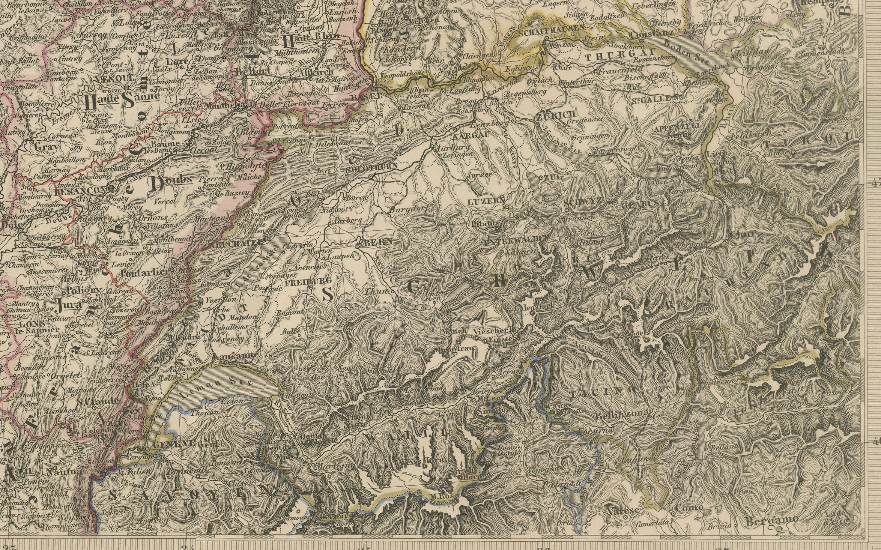
This map captures a dense network of towns, roads, rivers, and topographical features, with the eastern border adjoining Switzerland and the German-speaking regions of Baden and Württemberg. The Rhine River runs vertically along the right margin, forming the natural boundary between France and the German states, while the Vosges Mountains, Jura, and parts of the Alps are shaded in engraved relief.
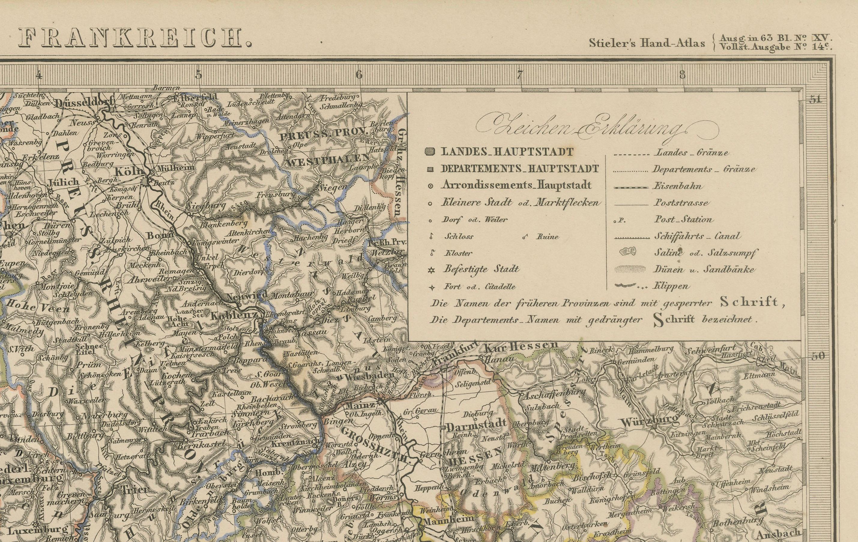
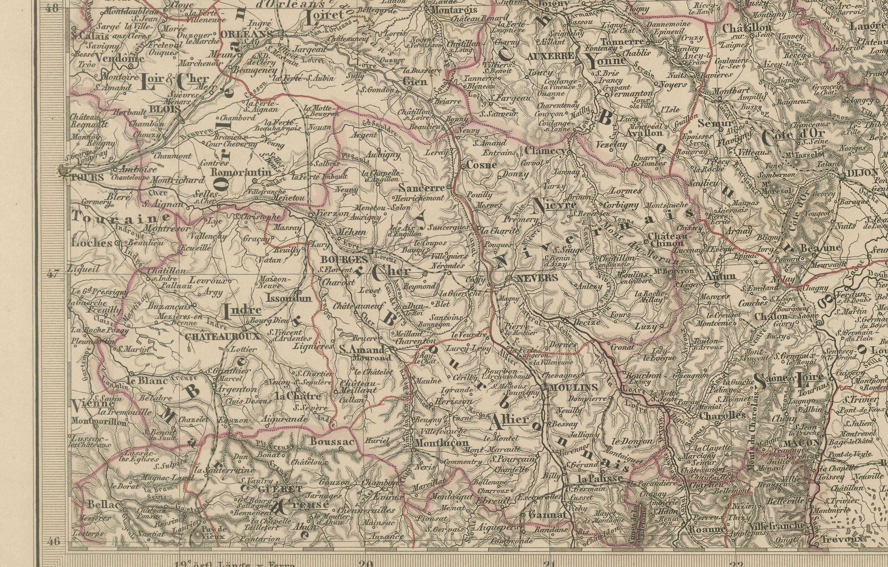
Cities such as Strasbourg, Metz, Nancy, Reims, Dijon, and Besançon are prominently marked, alongside countless smaller towns and villages. Hand-colored outlines denote departmental boundaries, with each French administrative region clearly labeled. A legend in the upper right corner explains the cartographic symbols, including markers for capitals, bishoprics, and fortresses.
This section is especially relevant for collectors interested in the shifting territorial borders between France and Germany in the 19th century—most notably before the annexation of Alsace-Lorraine by Germany in 1871 and its return to France after World War I.
Engraved with clarity and precision, the map exemplifies the high standards of the Justus Perthes publishing house and reflects the geographic and political complexities of eastern France during the era of the Second Empire.
Condition report:
Very good condition. Slight toning to the margins. Crisp impression with original hand-coloring intact. No tears or repairs. Please examine the image closely for more details.
Framing tips:
This map pairs well with a dark wood or burgundy-stained frame, complemented by a neutral mat in cream or parchment tone. Consider adding a fine red or gold inner line to reflect the departmental outlines. This piece is especially fitting for academic or historical-themed interiors.
Technique: Copperplate engraving with original hand-coloring
Maker: F. von Stülpnagel, published by Justus Perthes, Gotha, 1858