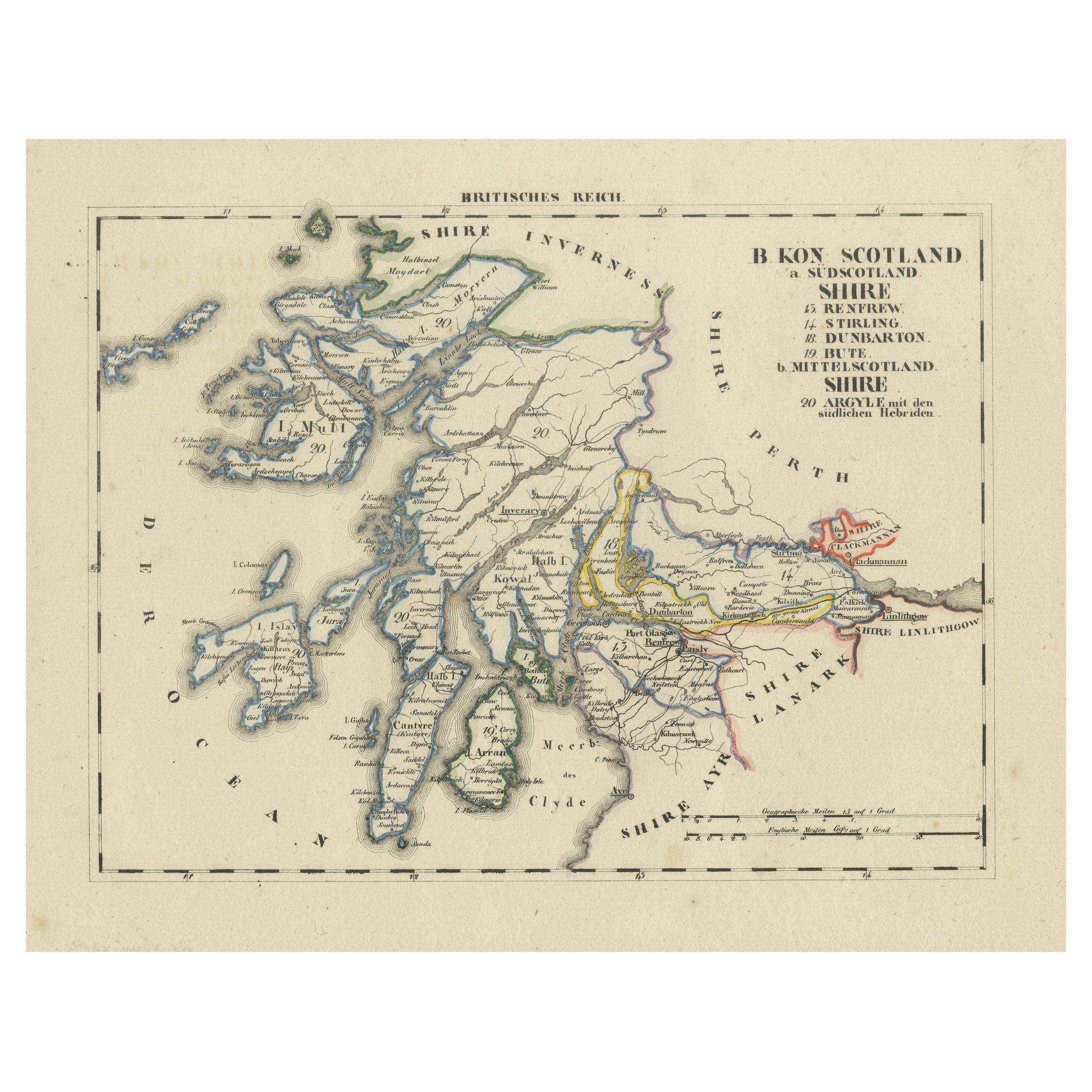
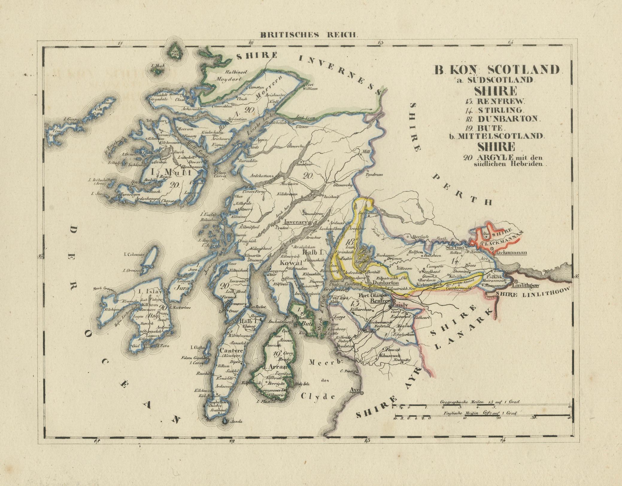
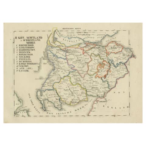
Antique 1830 Map of Scotland with Counties Renfrew, Stirling, Dumbarton and Bute
€ 340
One of a kind: this is the sheet in the photographs. Ships from Langweer, the Netherlands.
Date
1830
Sheet size
26.5 × 32.7 cm (10.4 × 12.9 in)
Reference
BG-13711-4
Condition
Very good, with no significant tears or defects.
About this sheet
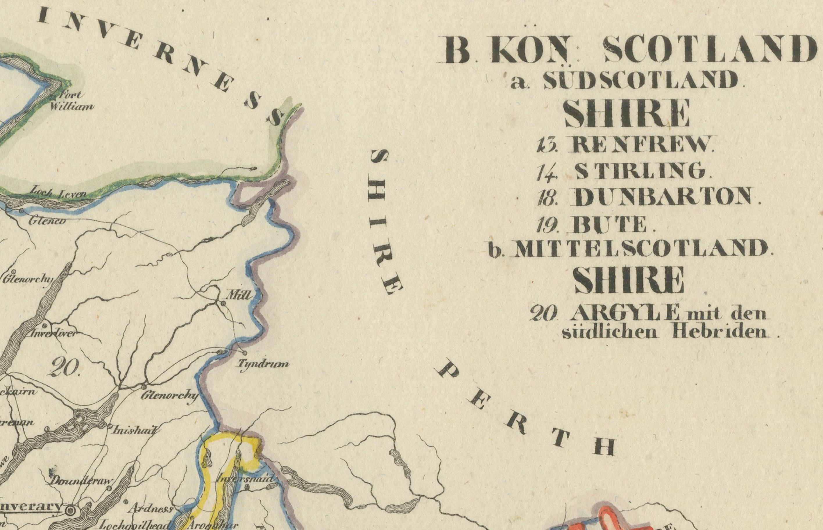
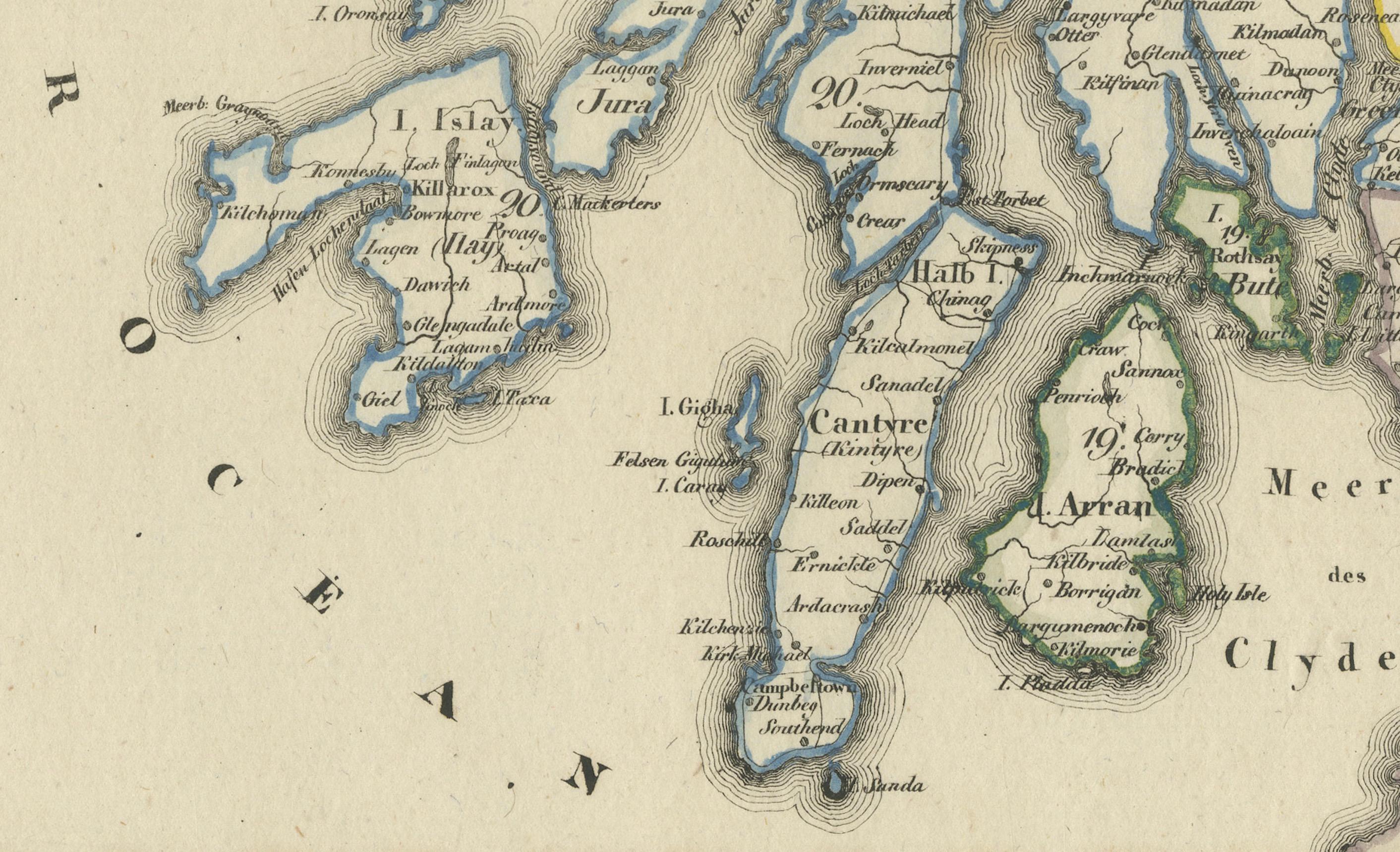
This 1830 German-language map, titled Britisches Reich – B. Kon Scotland, depicts Scotland’s southern and central counties, including Renfrew, Stirling, Dumbarton, Bute, and Argyll with the southern Hebrides. The map was published in Leipzig by Georg Joachim Goschen as part of the Atlas von Europa nebst den Kolonien, designed for businesspeople, newspaper readers, and owners of the Conversations-Lexicon. The map was lithographed by O. Hermann and edited by W. E. A. von Schlieben.
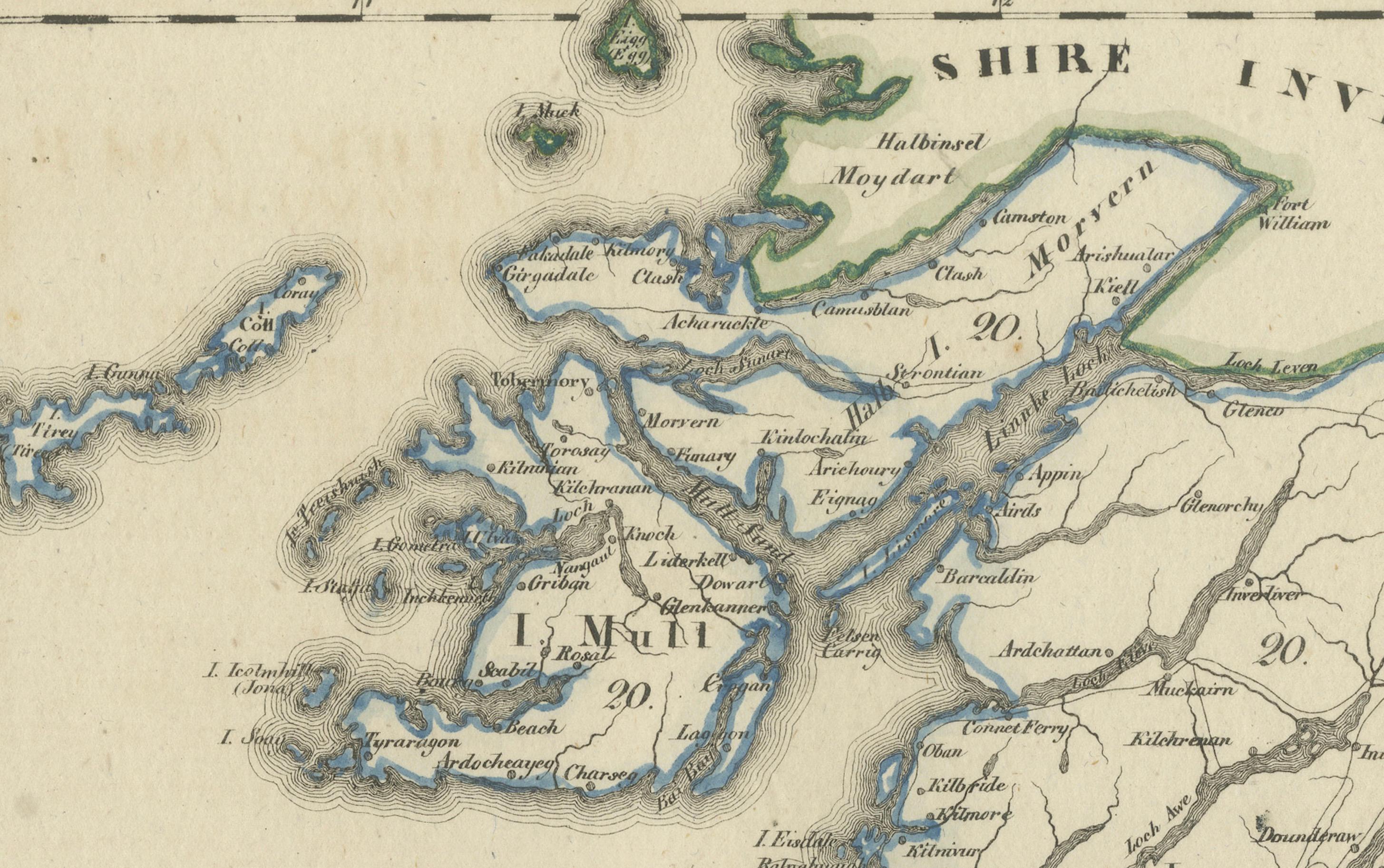
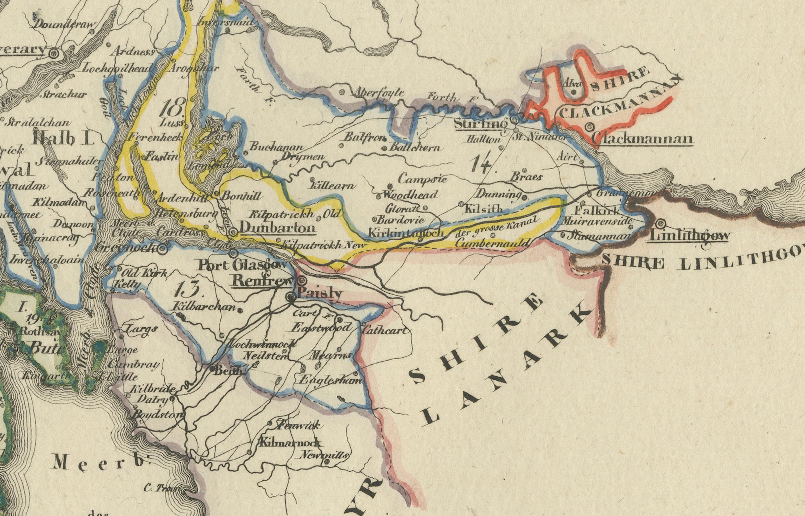
It features hand-applied color outlining each county, with major towns, rivers, and roads clearly marked. The coastlines of western Scotland, including the Firth of Clyde and surrounding islands, are finely detailed, reflecting early 19th-century European cartographic standards.
Condition Report: Paper Quality: 19th-century laid paper with natural toning. Engraving: Crisp lithographic print with sharp details. Coloring: Original hand-applied outline coloring, well-preserved. Margins: Wide margins with light foxing and minor discoloration. Overall Condition: Very good, with no significant tears or defects.
Framing Tips: Matting: Use an acid-free off-white mat to highlight the map’s aged character. Glass: Museum-grade UV-protective glass to prevent fading. Frame Style: A simple dark wood or gilt frame complements its antique style. Mounting: Archival backing for long-term preservation.
This is a fine example of German-published 19th-century cartography, ideal for collectors of Scottish and European maps.