Antique Maps of Australia & Oceania
156 original sheets
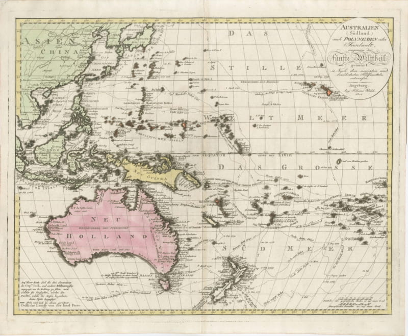
Antique Map of Australia and Polynesia with Cook's Voyages, Walch, 1802
1802 · € 1 200
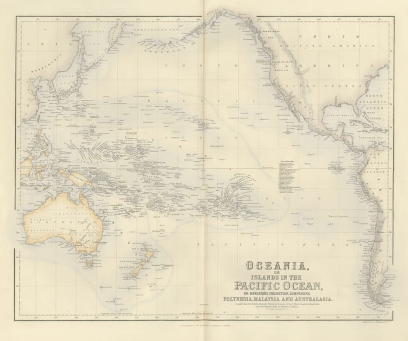
Antique Map of Oceania and the Pacific with the Sandwich Islands, circa 1860
circa 1860 · € 495
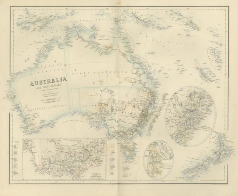
Antique Map of Australia and New Zealand with Mount Alexander Inset, circa 1860
circa 1860 · € 525
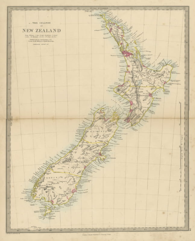
Antique Map of the Islands of New Zealand with Provinces and Settlements, 1858
1858 · € 360
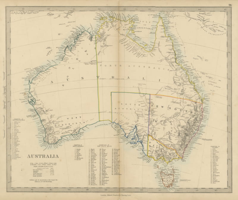
Antique Map of Australia with the 1855 Population Table and County Lists, 1858
1858 · € 330
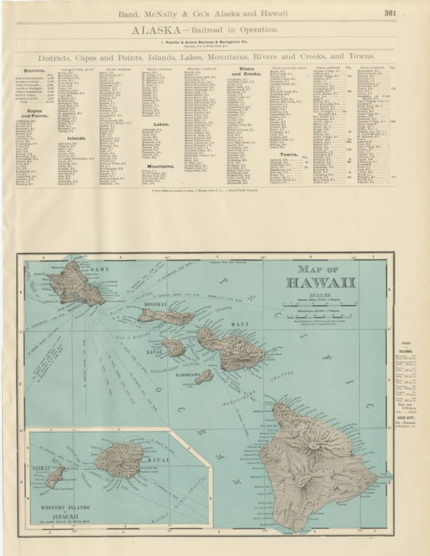
Antique Map of Hawaii, with Oahu and Honolulu, Rand McNally, 1899
1899 · € 445
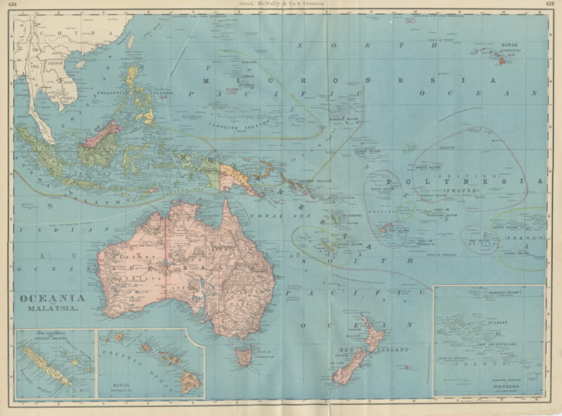
Antique Map of Oceania and Malaysia, with Australia and New Zealand, 1899
1899 · € 445
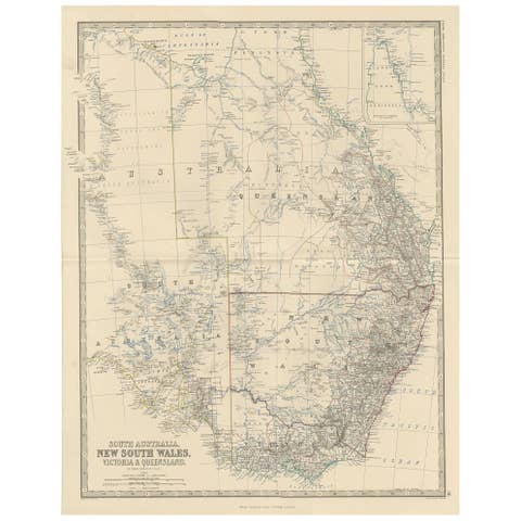
Antique Map of South Australia by A.K. Johnston, 1865
1865 · € 260
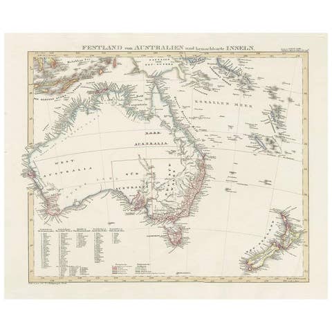
Antique Map of Australia and surrounding Islands by F. von Stülpnagel, 1850
1850 · € 220
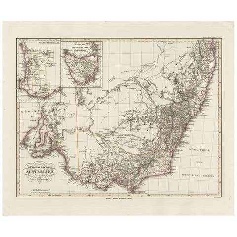
Antique Map of Southeastern Australia by F. von Stülpnagel, 1850
1850 · € 220

Antique Map of Australia by H. Kiepert, 1875
1875 · € 275
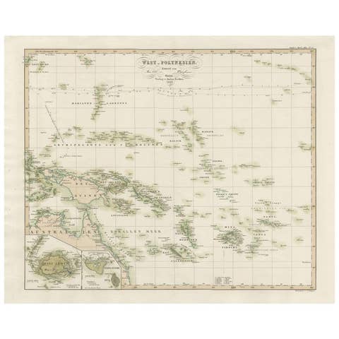
Antique Map of Western Polynesia, 1849
1849 · € 200

Antique Map of Eastern Polynesia, 1849
1849 · € 200
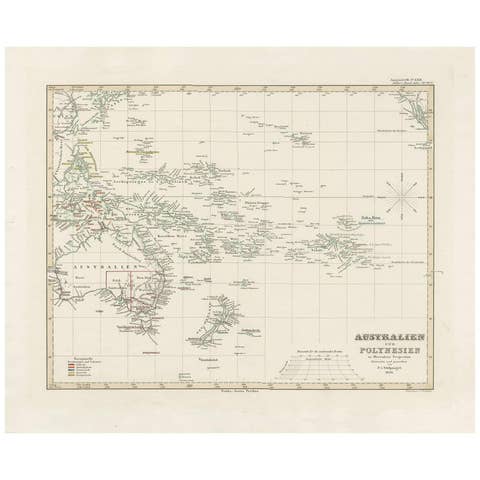
Antique Map of Australia, New Zealand and Oceania by F. von Stülpnagel, 1850
1850 · € 220
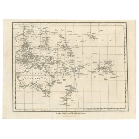
Antique Map of Polynesia and Australasia by Neele, 1825
1825 · € 120
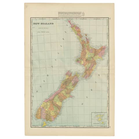
Antique Map of New Zealand by G.F. Cram, 'circa 1906'
1906 · € 350
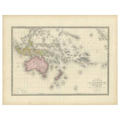
Antique Map of Oceania by Levasseur, circa 1860
1860 · € 250
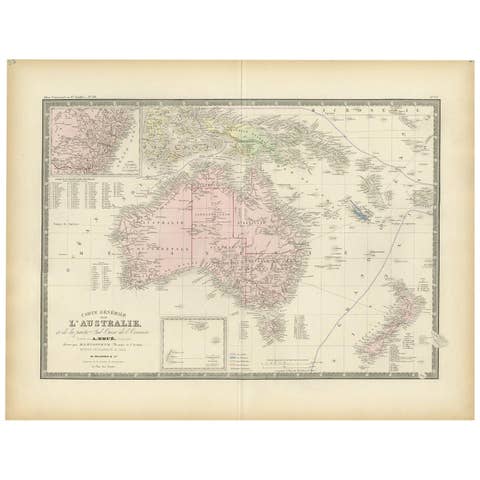
Antique Map of Australia by Levasseur, '1875'
1875 · € 500
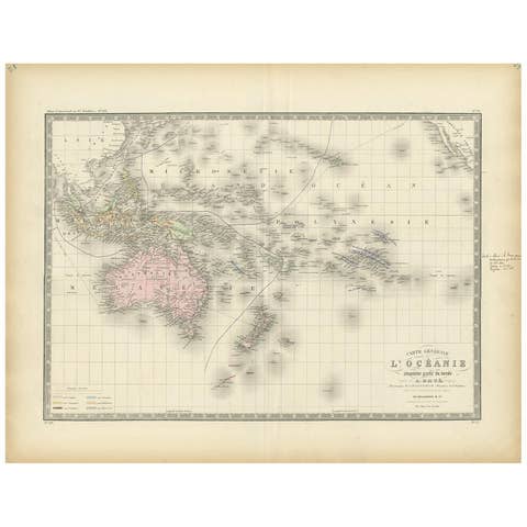
Antique Map of Oceania by Levasseur, '1875'
1875 · € 250

Antique Map of Australia by Lowry, 1852
1852 · € 200
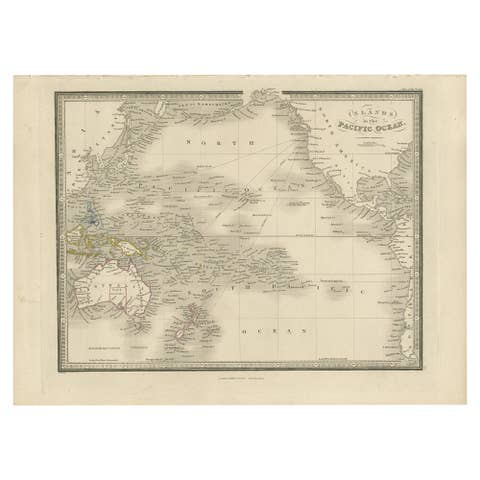
Antique Map of the Islands in the Pacific Ocean by Wyld, '1845'
1845 · € 200
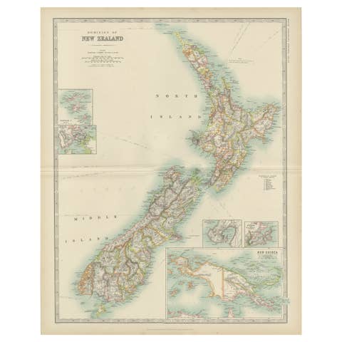
Antique Map of New Zealand by Johnston '1909'
1909 · € 350

Antique Map of New Zealand by Arrowsmith '1844'
1844 · € 1 750
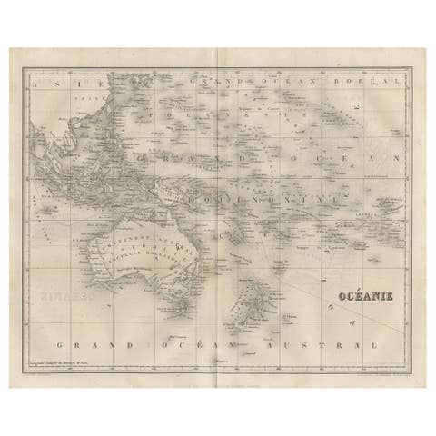
Antique Map of Oceania by Balbi '1847'
1847 · € 150
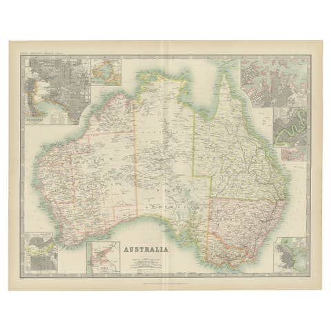
1909 Antique Map of Australia by W. & A.K. Johnston with Inset Maps
1909 · € 284
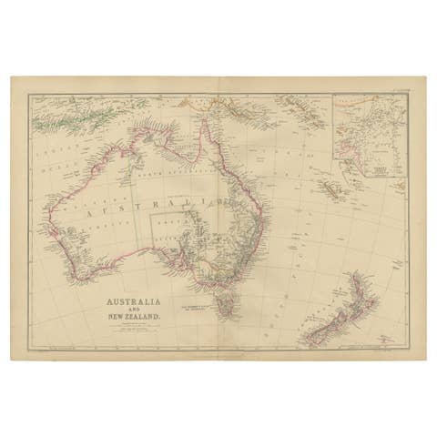
Antique Map of Australia and New Zealand by W. G. Blackie, 1859
1859 · € 250
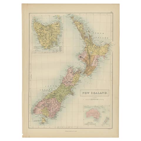
Antique Map of New Zealand by A & C. Black, 1870
1870 · € 175
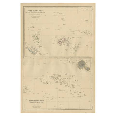
Antique Map of South Pacific Ocean by W. G. Blackie, 1859
1859 · € 220
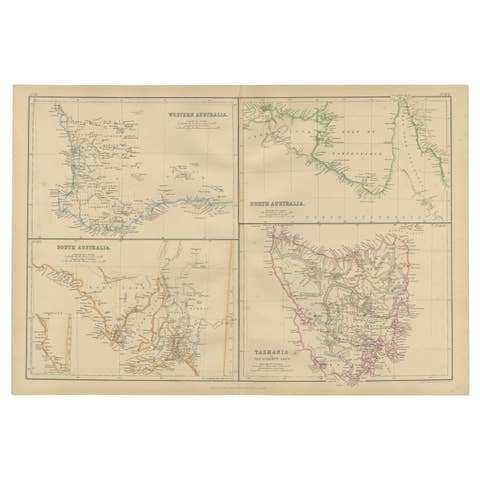
Antique Map of West, South, North Australia and Tasmania by W. G. Blackie, 1859
1859 · € 250
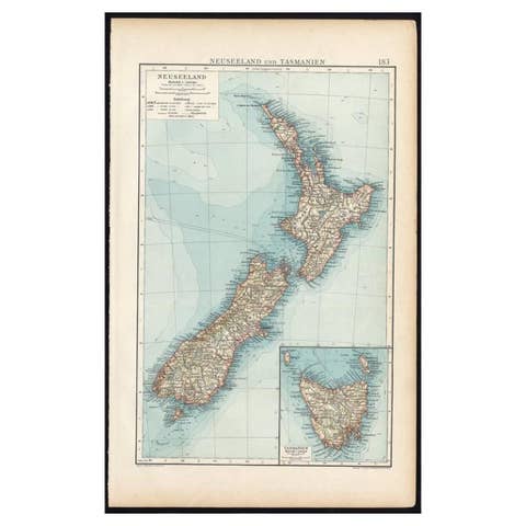
Antique Map of New Zealand and Tasmania, 1904
1904 · € 90
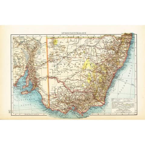
German Antique Map of Southeastern Australia, 1904
1904 · € 75
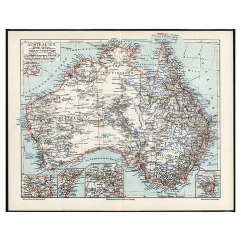
German Antique Map of Australia, Meyers, 1885
1885 · € 80
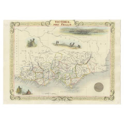
Antique Map of Victoria, or Port Phillip in Australia, ca. 1850
1850 · € 761
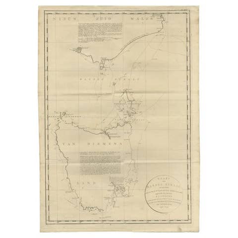
Large Antique Map of Bass Strait, Tasmania, Australia by Cook, 1803
1803 · € 3 666
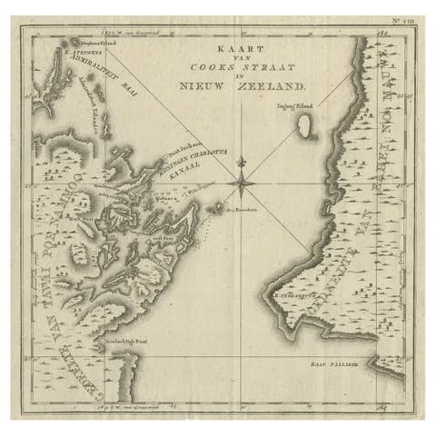
Antique Map of Cook's Strait in New Zealand, 1803
1803 · € 650
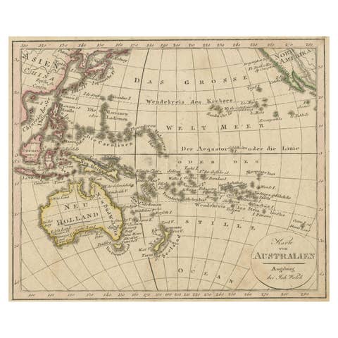
Antique Map of Oceania and the Pacific Ocean, Australia and New Zealand, 1826
1826 · € 160
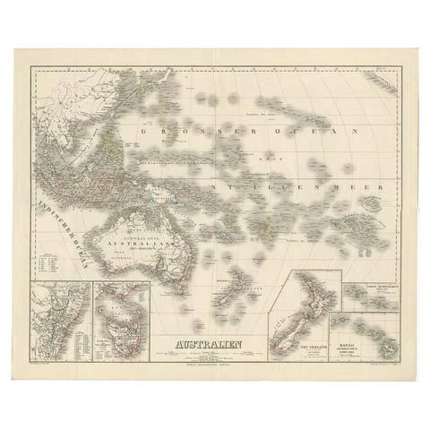
Map of Australia, New Zealand, Part of China, Japan and Southeast Asia, 1857
1857 · € 640

German Antique Map of Australia and New Zealand, 1857
1857 · € 250
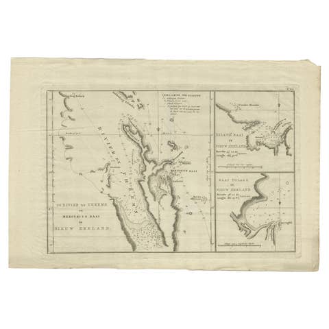
Detailed Map of New Zealand Showing the Route of Capt. Cook's First Voyage, 1803
1803 · € 506
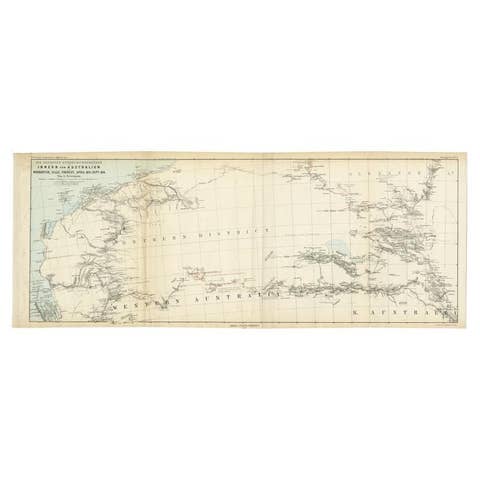
Antique Exploration Map of Australia from Sharks Bay to Alice Springs, 1876
1876 · € 250
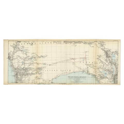
Antique Exploration Map of Australia from Beltana to Perth, 1876
1876 · € 250
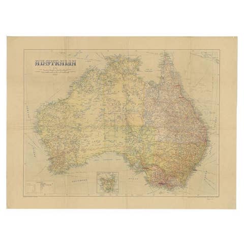
Large Detailed Map of Australia Wint Inset of Tasmania, 1937
1937 · € 237

Antique Map of Australia and Polynesia, inset of Tasmania c.1860
1860 · € 120
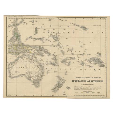
German Antique Map of Australia and Polynesia, c.1870
1870 · € 150
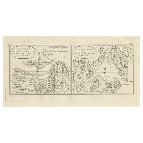
Antique Map of Endeavor River and Botany Bay, New South Wales, Australia, 1803
1803 · € 800
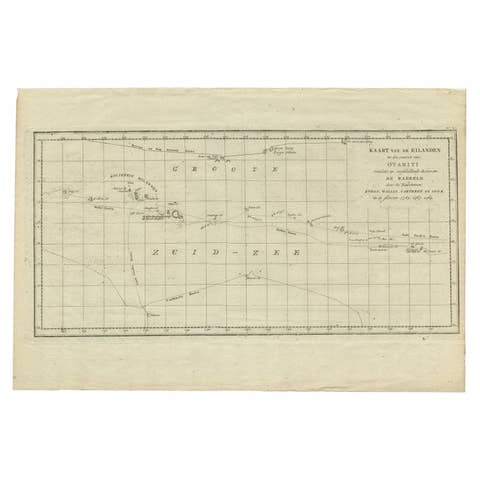
Antique Map of French Polynesia by Cook Showing His Route, 1803
1803 · € 475
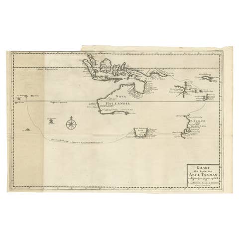
Early Map of Australasia, Marking The Route of Abel Tasman in 1642 'Publ. 1726'
1642 · € 8 500
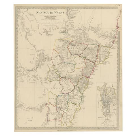
Antique Map of New South Wales with an Inset of Sydney, Australia, 1833
1833 · € 550