About this sheet
Antique Map of Prussia & Posen – With Insets of Berlin, Königsberg & Danzig, 1858
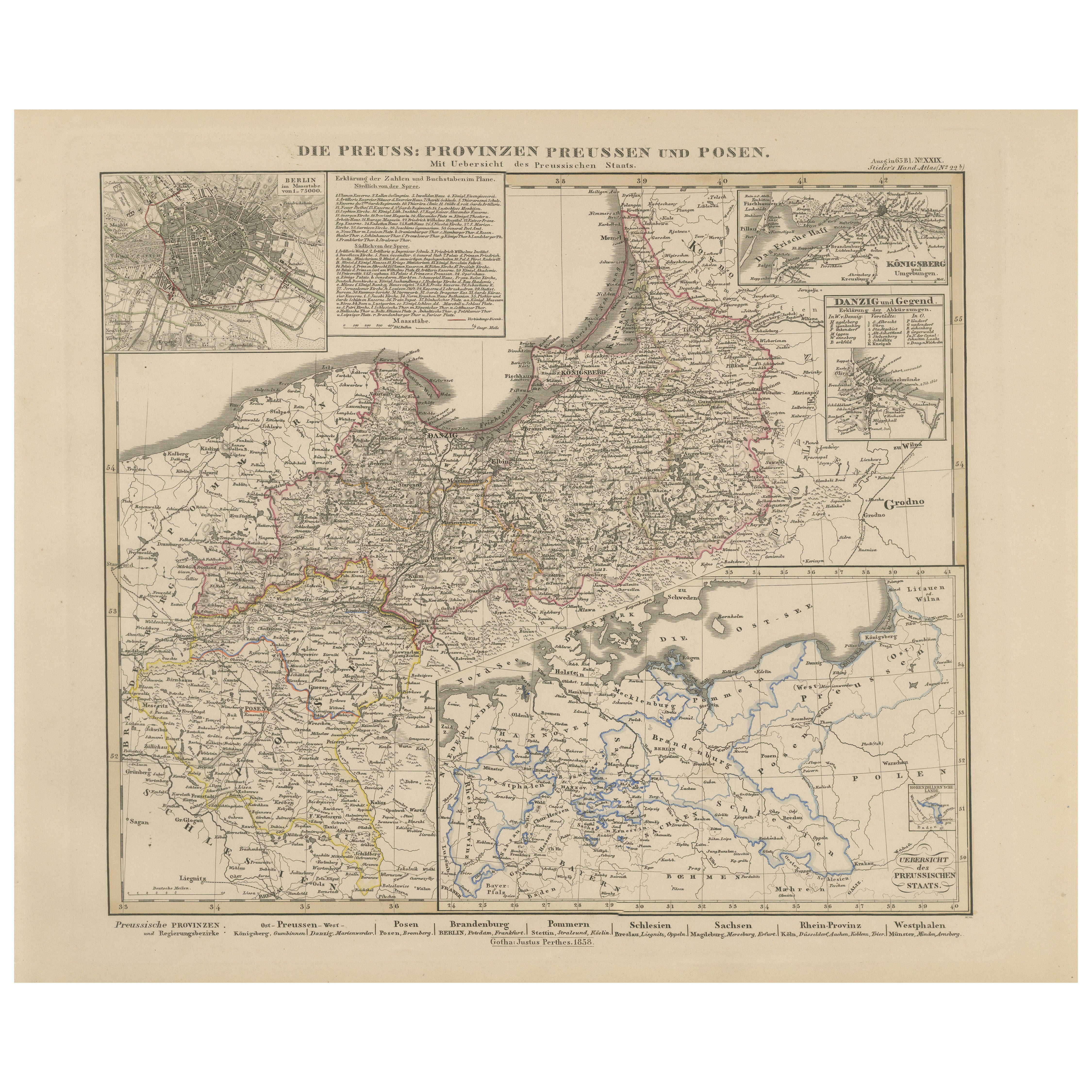
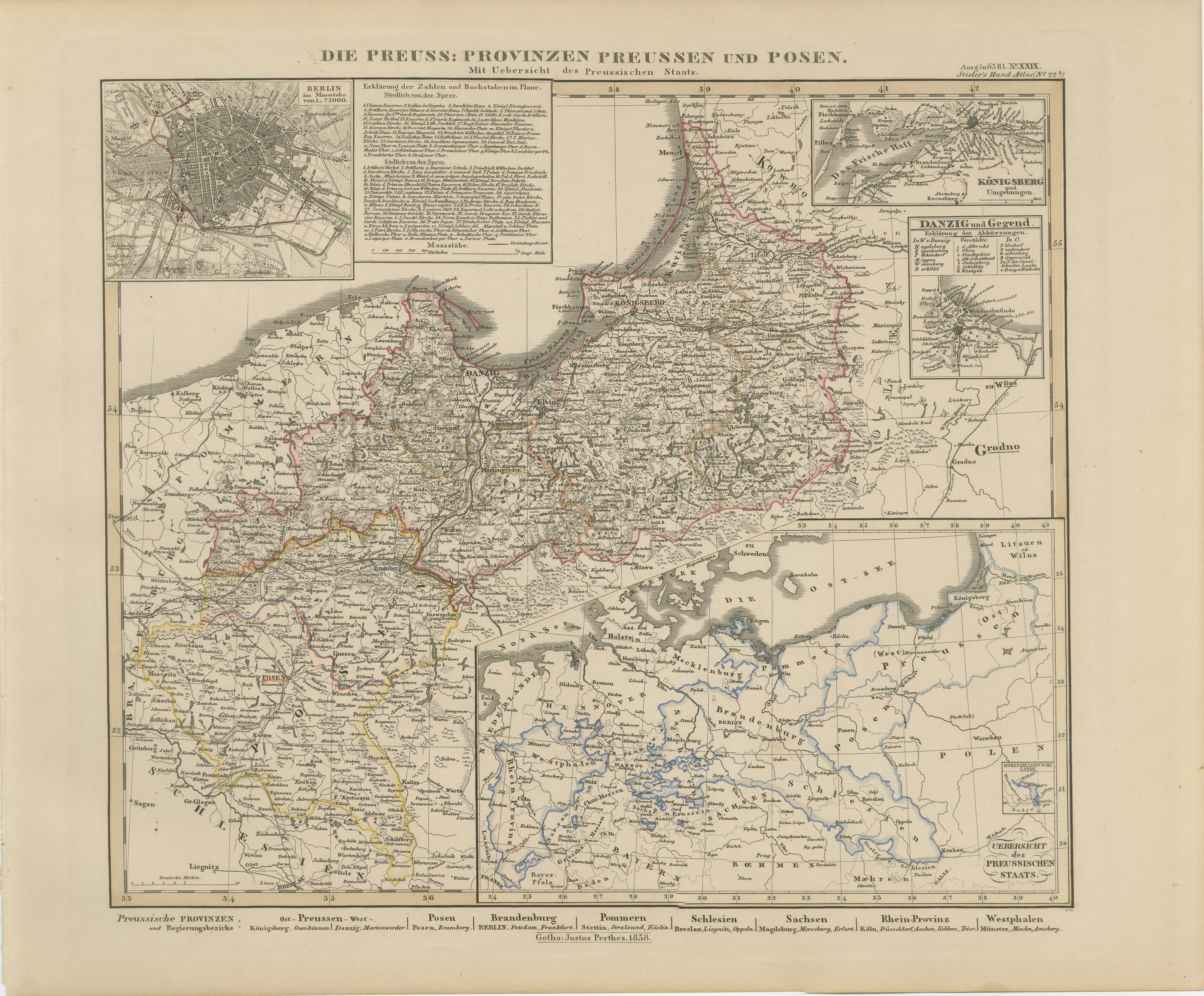
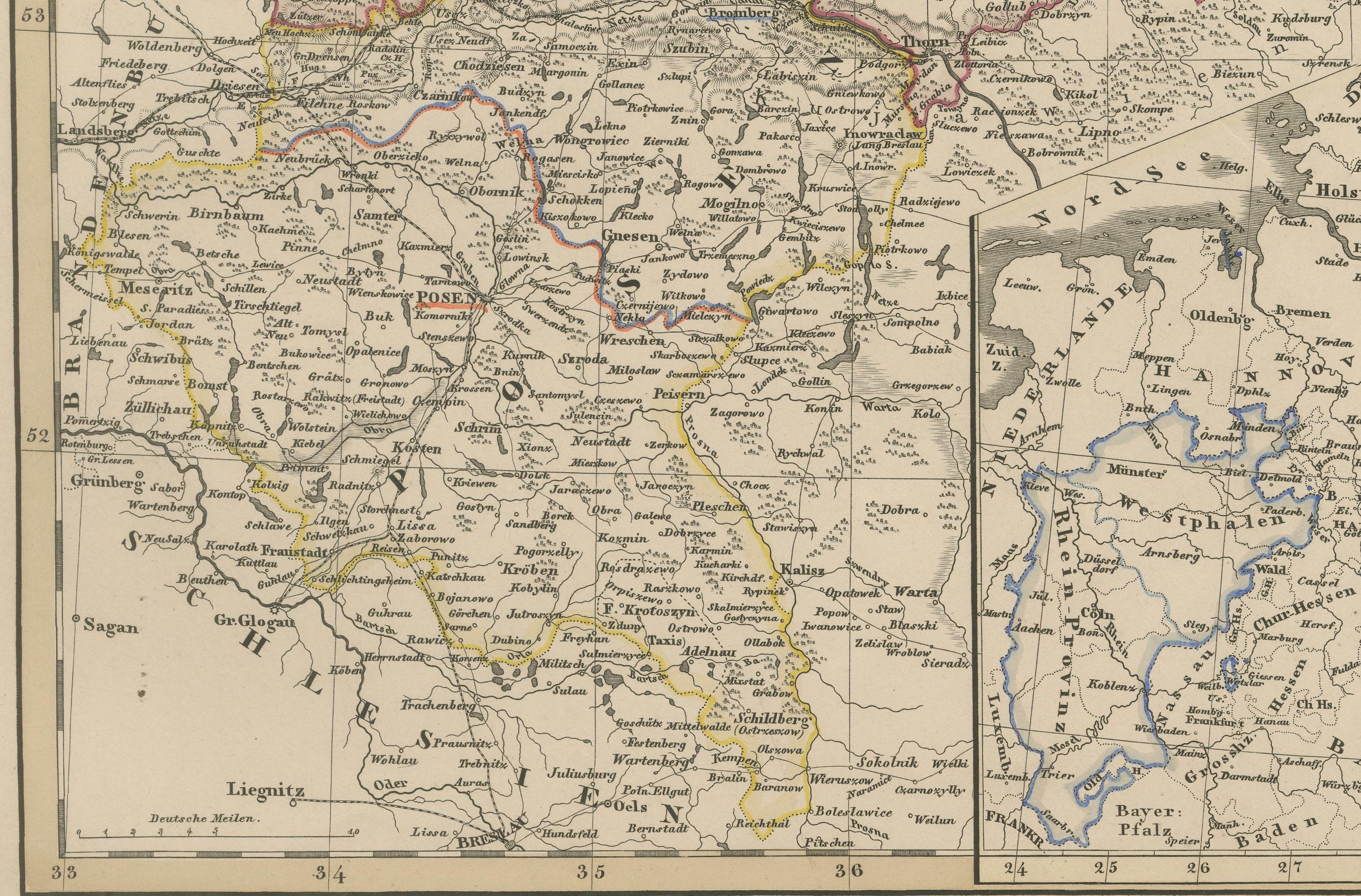
Highly detailed and information-rich map titled "Die Preuss: Provinzen Preussen und Posen", published by Justus Perthes in Gotha in 1858. This copperplate engraving provides a comprehensive view of the northeastern provinces of the Kingdom of Prussia—namely East and West Prussia and the Grand Duchy of Posen—at a time when Prussia was a dominant force within the German Confederation.
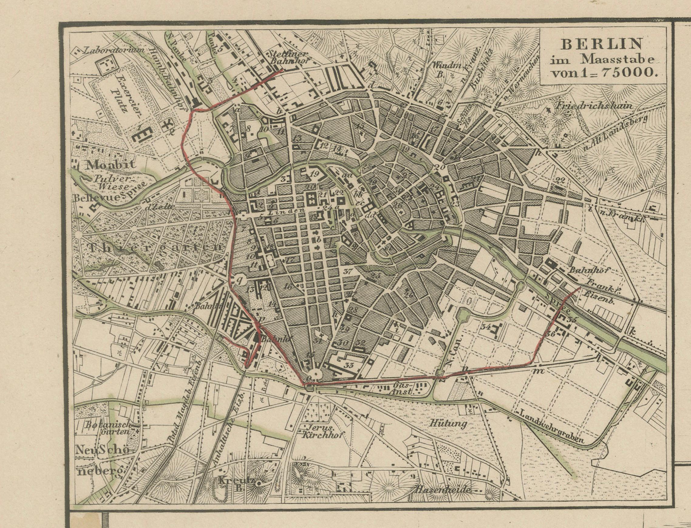
The map is notable for its complexity and layered detail. It is surrounded by multiple insets that enrich the cartographic content:
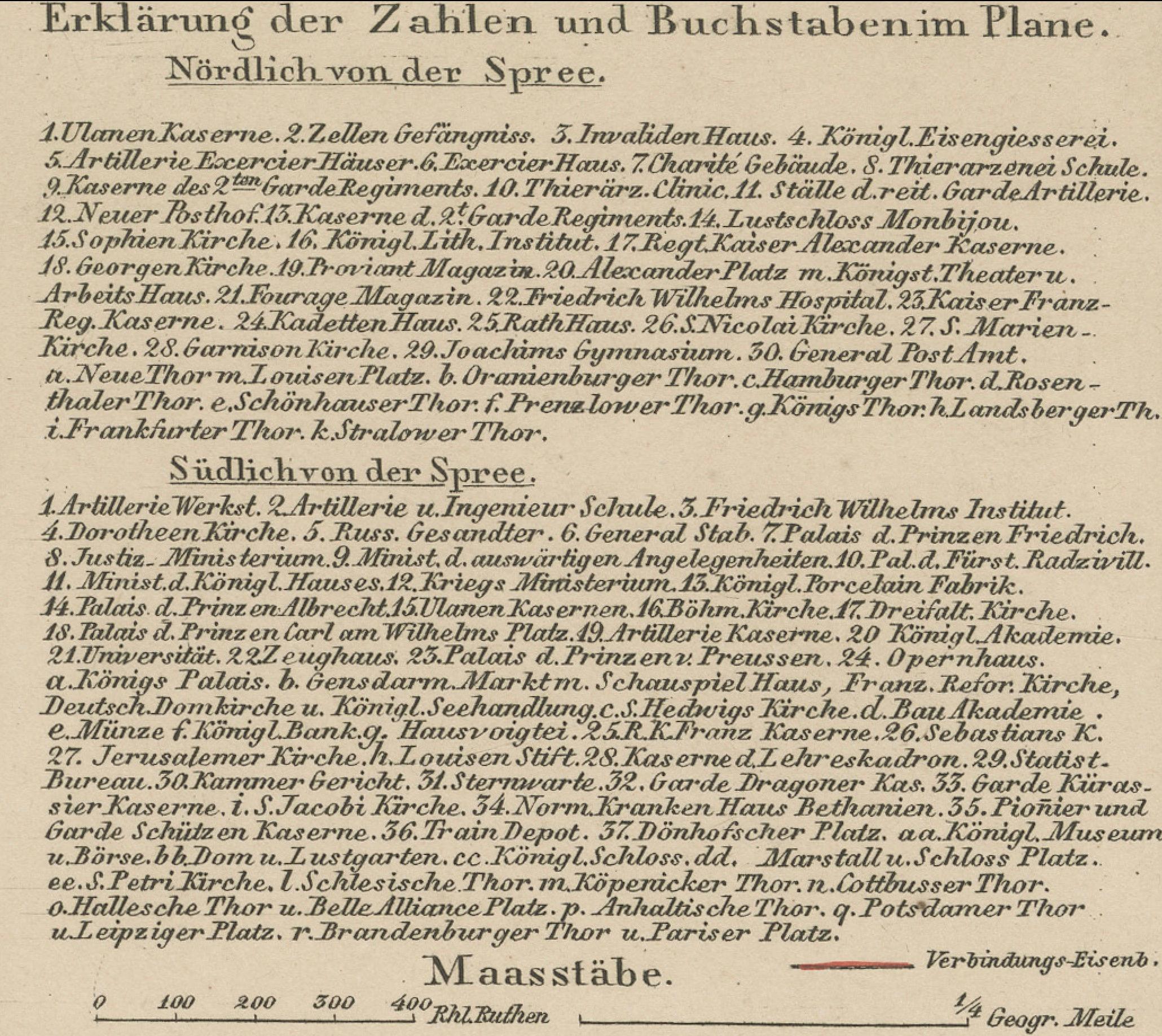
– A large city plan of Berlin, complete with street layout and surrounding areas.
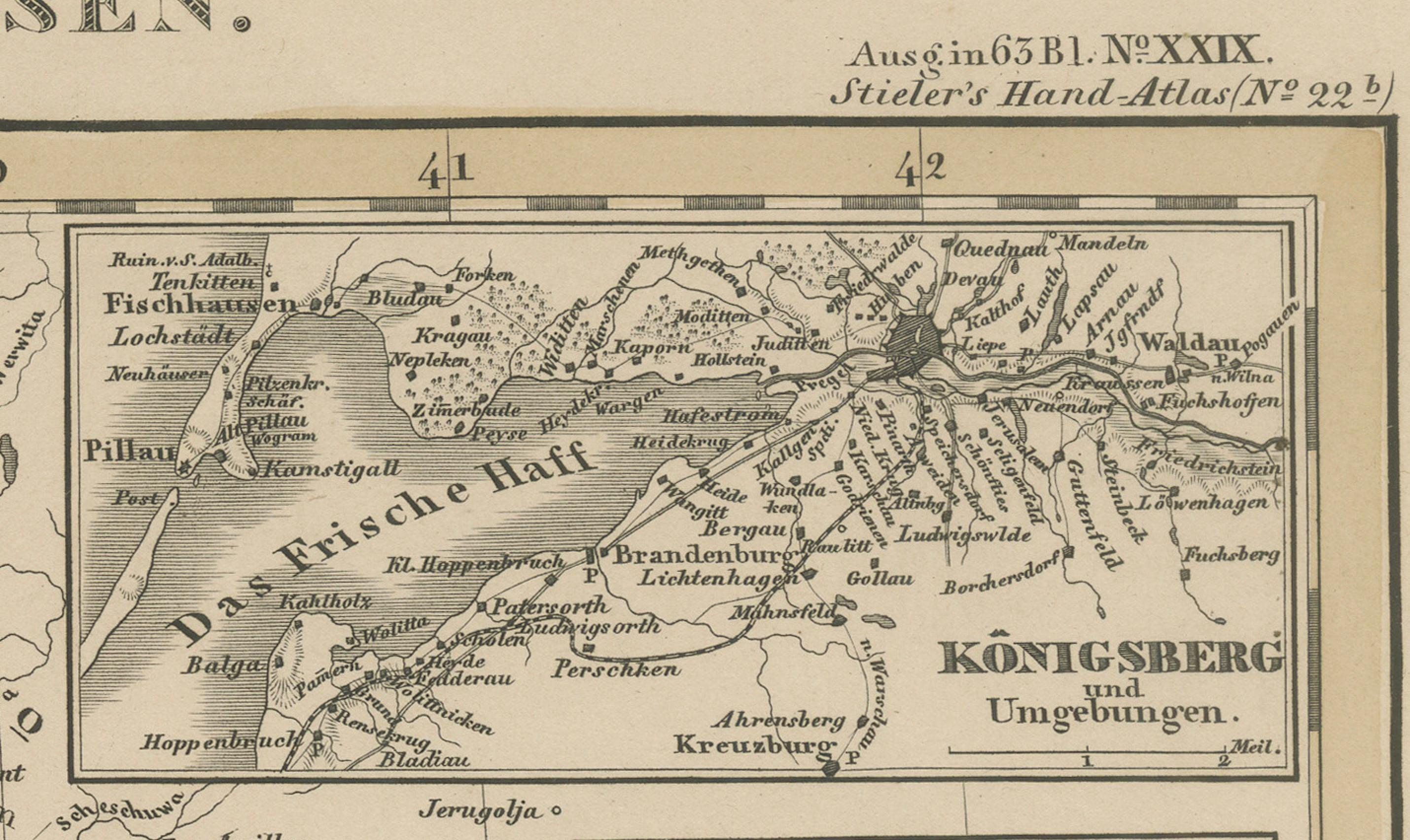
– Detailed insets of Königsberg and Danzig, two key port cities in East Prussia.
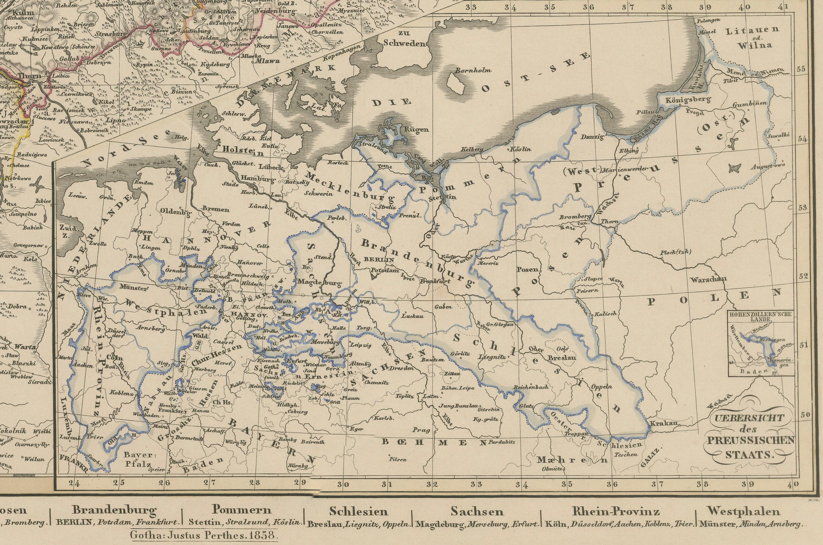
– A lower inset showing the entire Prussian state for geographic context.
– A textual section explaining the population figures and administrative divisions.
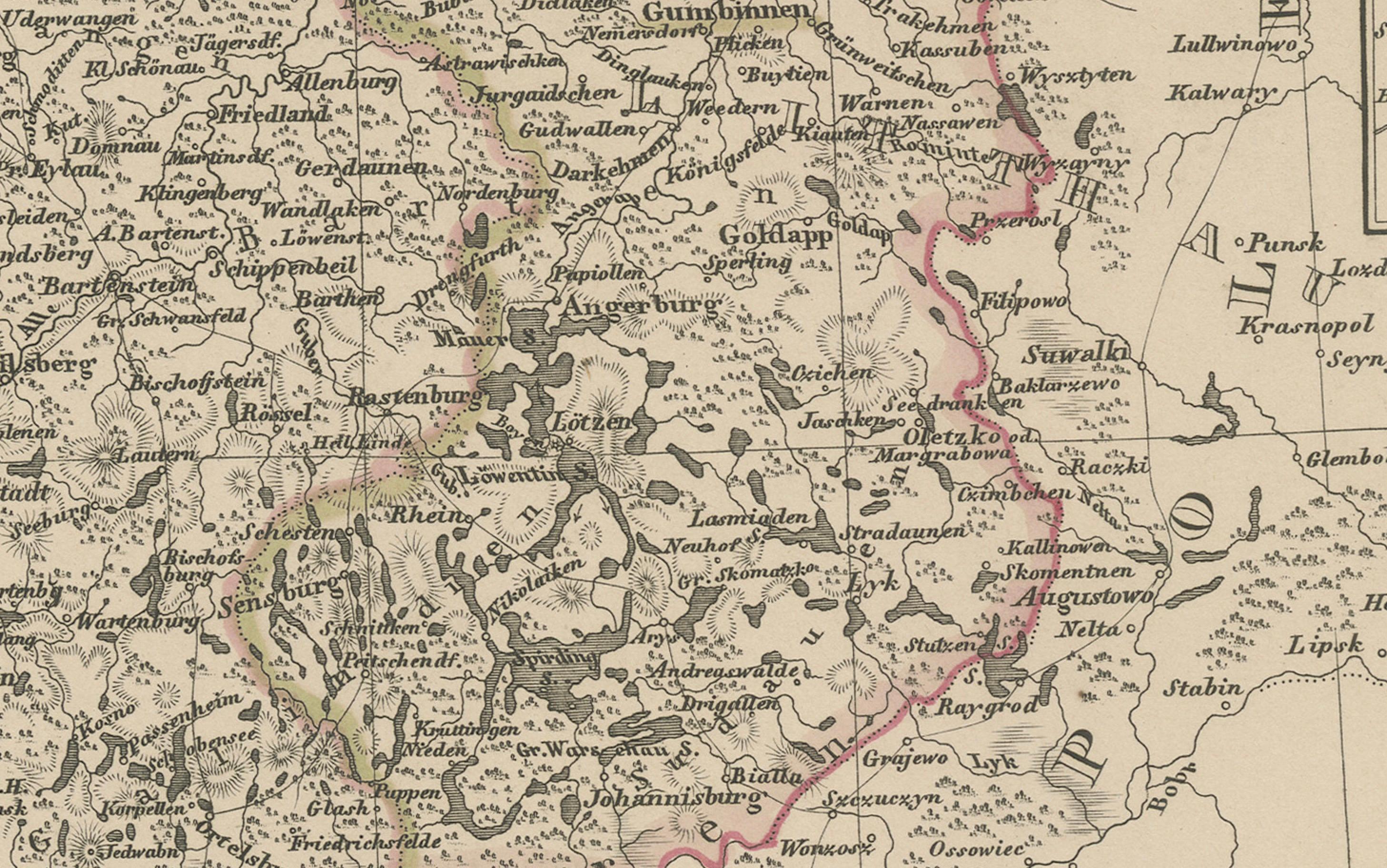
Borders of provinces and regions are delicately hand-colored, showing the relationship between modern-day Poland, Lithuania, and Germany. Towns, rivers, rail lines, and fortresses are clearly marked, with major centers such as Breslau (Wrocław), Thorn (Toruń), Königsberg (Kaliningrad), and Danzig (Gdańsk) given prominence. The Baltic coastline, Vistula River, and regional infrastructure are all intricately engraved.
This map is a valuable historical document reflecting the ethnic and political composition of Prussian territories prior to the German unification of 1871 and the dramatic boundary shifts of the 20th century. It would greatly appeal to collectors interested in German, Polish, or Baltic regional history.
Condition report:
Very good condition. Slight age-toning at the edges. All insets and text are intact and legible. Original hand-coloring well-preserved. No tears or repairs. Please review image closely for details.
Framing tips:
Frame with a dark oak or black frame and a neutral mat to highlight the clean engraving. A double mat with burgundy or navy accent line may enhance the border tones. Excellent for historical, educational, or genealogical display.
Technique: Copperplate engraving with original hand-coloring
Maker: Justus Perthes, Gotha, 1855