Antique Maps of Africa
236 original sheets
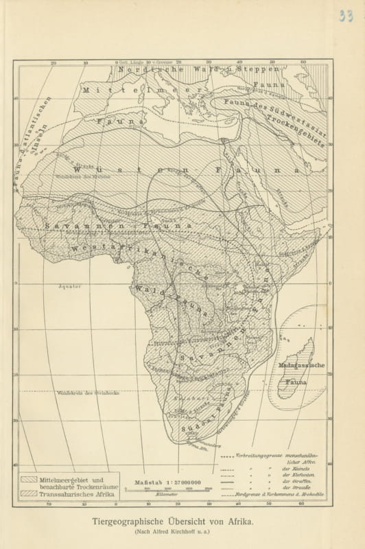
Antique Zoogeographic Map of Africa after Alfred Kirchhoff, 1916
1916 · € 70
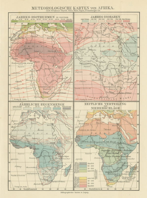
Antique Meteorological Maps of Africa, Isotherms and Rainfall, 1916
1916 · € 85
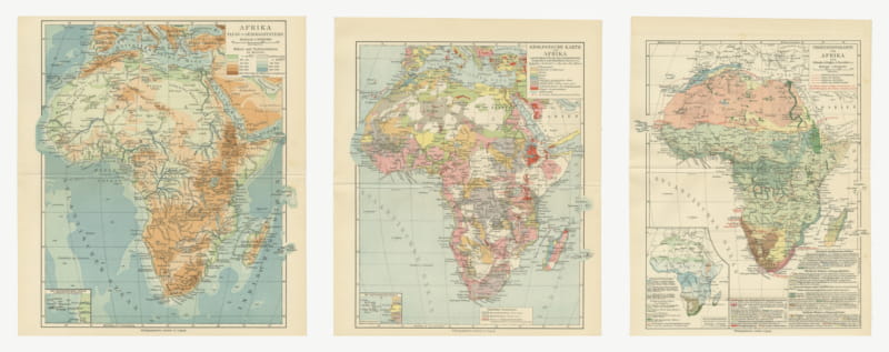
Antique Maps of Africa, Relief, Geology and Vegetation, Set of Three, 1916
1916 · € 230
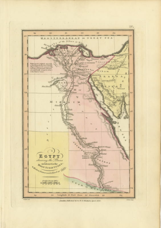
Antique Map of Egypt and the Nile in the Holy Scriptures, Wyld, 1823
1823 · € 280
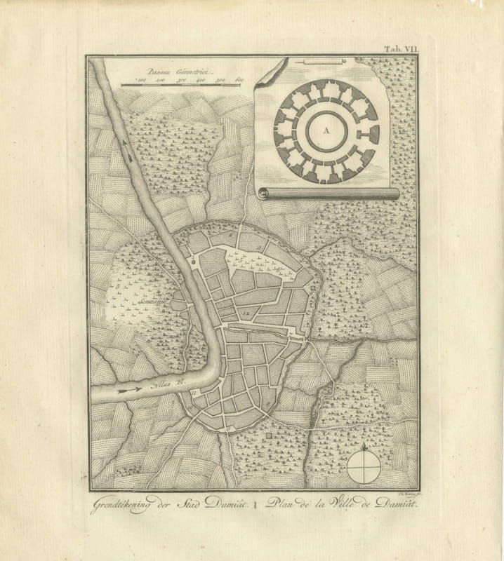
Antique Plan of the City of Damietta on the Nile, Niebuhr, 1776
1776 · € 240
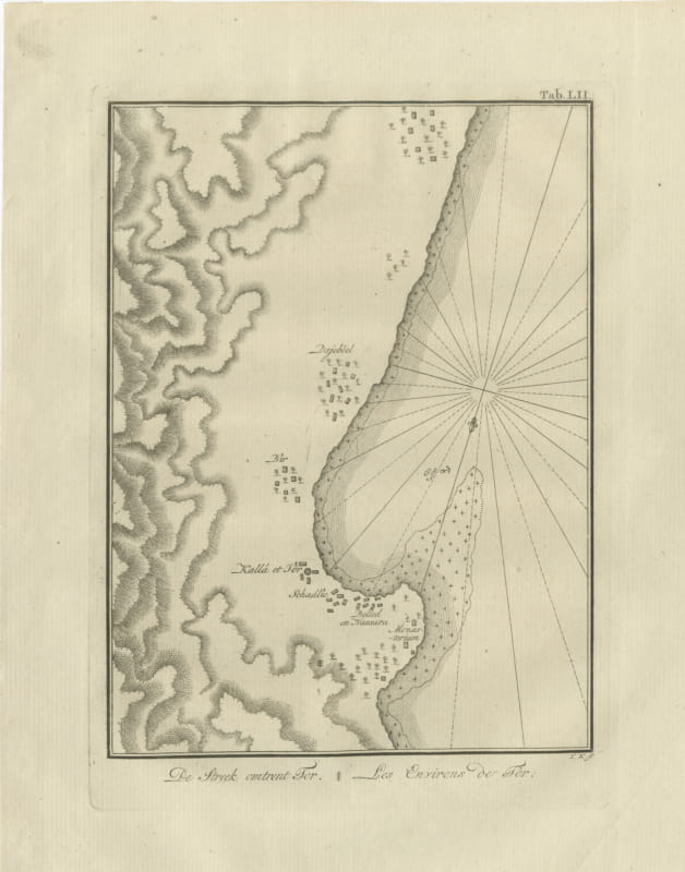
Antique Map of the Country around Tor, Niebuhr Engraving, 1776
1776 · € 130
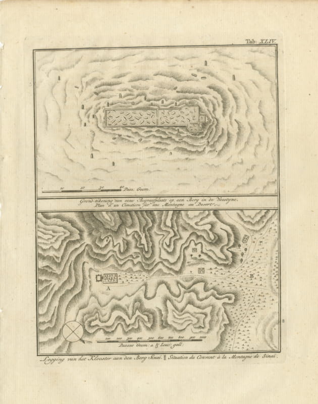
Plan of a Desert Cemetery and the Site of Sinai Monastery, 1776
1776 · € 185
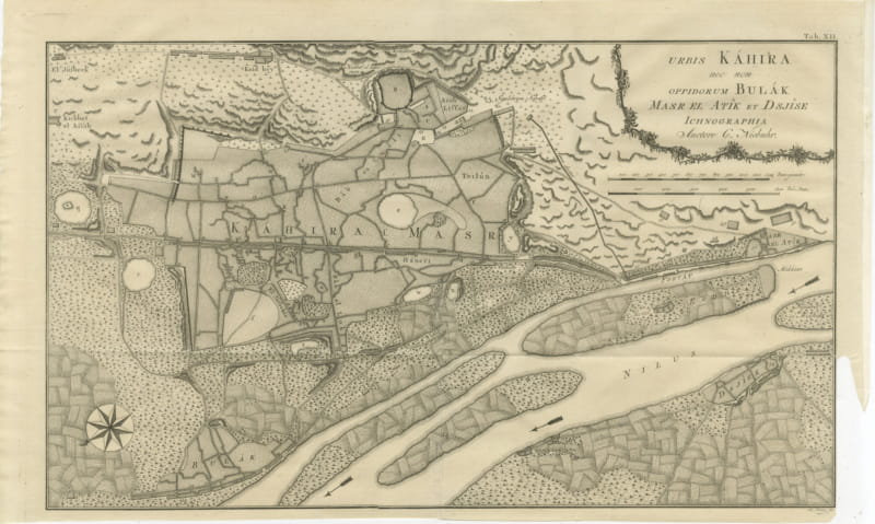
Large Antique Plan of Cairo, Bulaq, Old Cairo and Giza, 1776
1776 · € 260
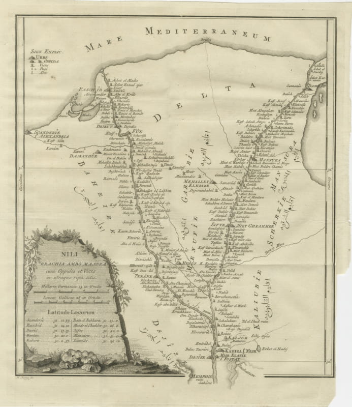
Antique Map of the Two Branches of the Nile Delta, Niebuhr, 1776
1776 · € 340
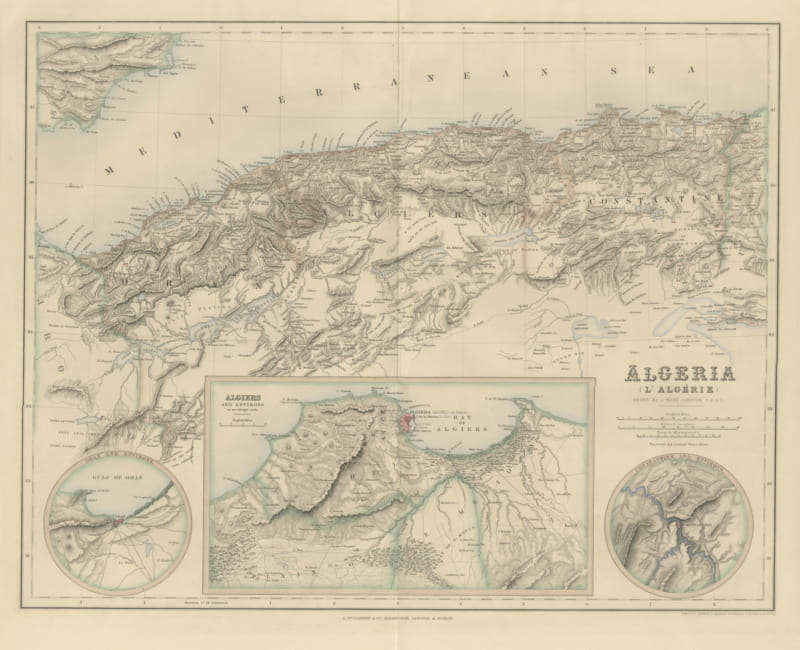
Antique Map of Algeria with Algiers, Oran and Constantine Insets, circa 1860
circa 1860 · € 425
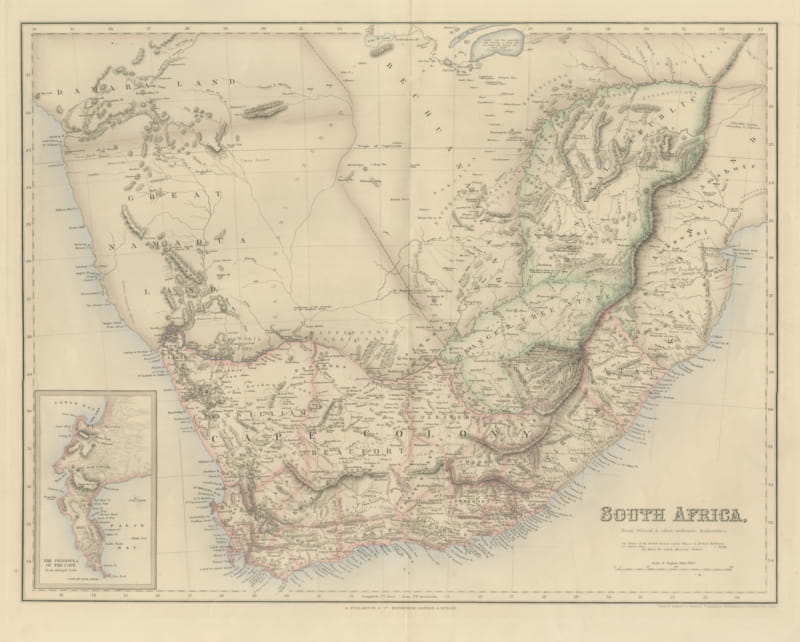
Antique Map of South Africa with the Peninsula of the Cape Inset, circa 1860
circa 1860 · € 485
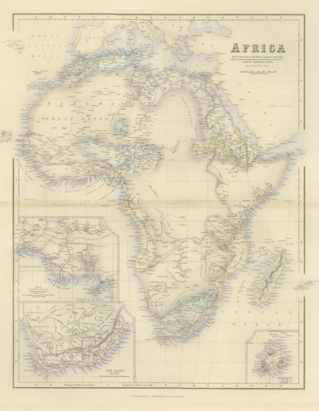
Antique Map of Africa with Cape Colony and Mauritius Insets, circa 1860
circa 1860 · € 525
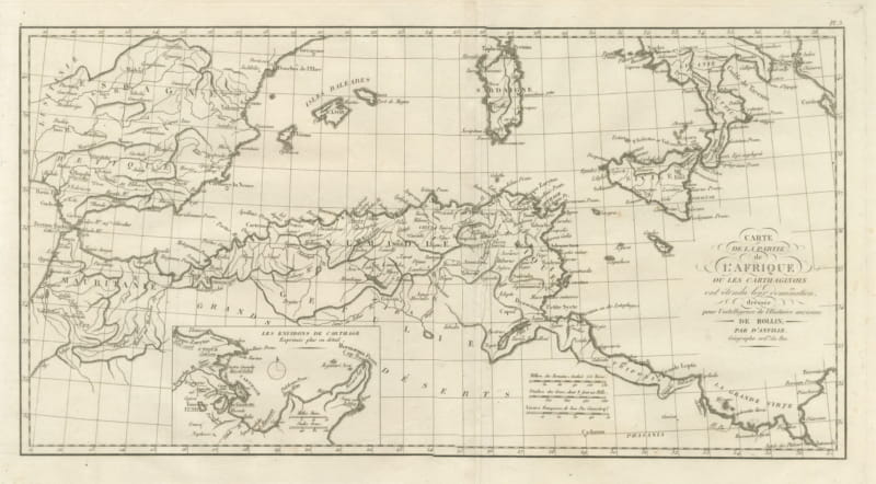
Carthaginian North Africa with Inset of the Environs of Carthage, 1818
1818 · € 295
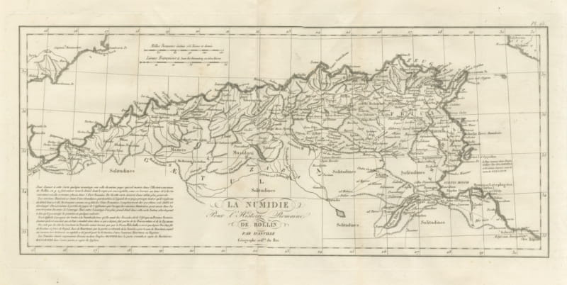
Roman Numidia and North Africa with Itinerary Roads, d'Anville, 1818
1818 · € 235
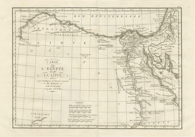
Ancient Egypt and Libya with the Mouths of the Nile, d'Anville, 1818
1818 · € 295
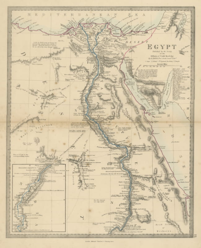
Antique Map of Egypt by G. Long with Nubia and the Nile Cataracts, 1858
1858 · € 170
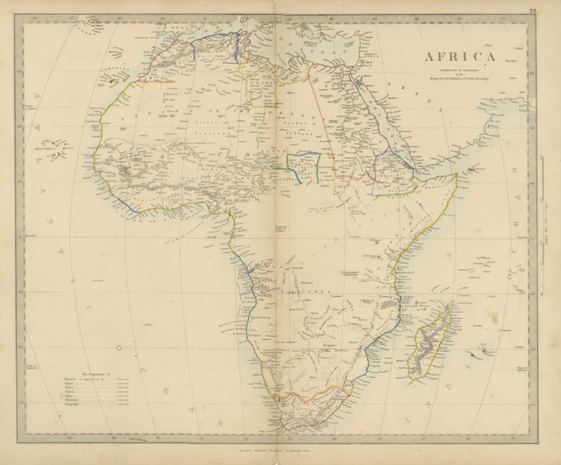
Antique Map of Africa with the Unexplored Interior and a Population Table, 1858
1858 · € 200
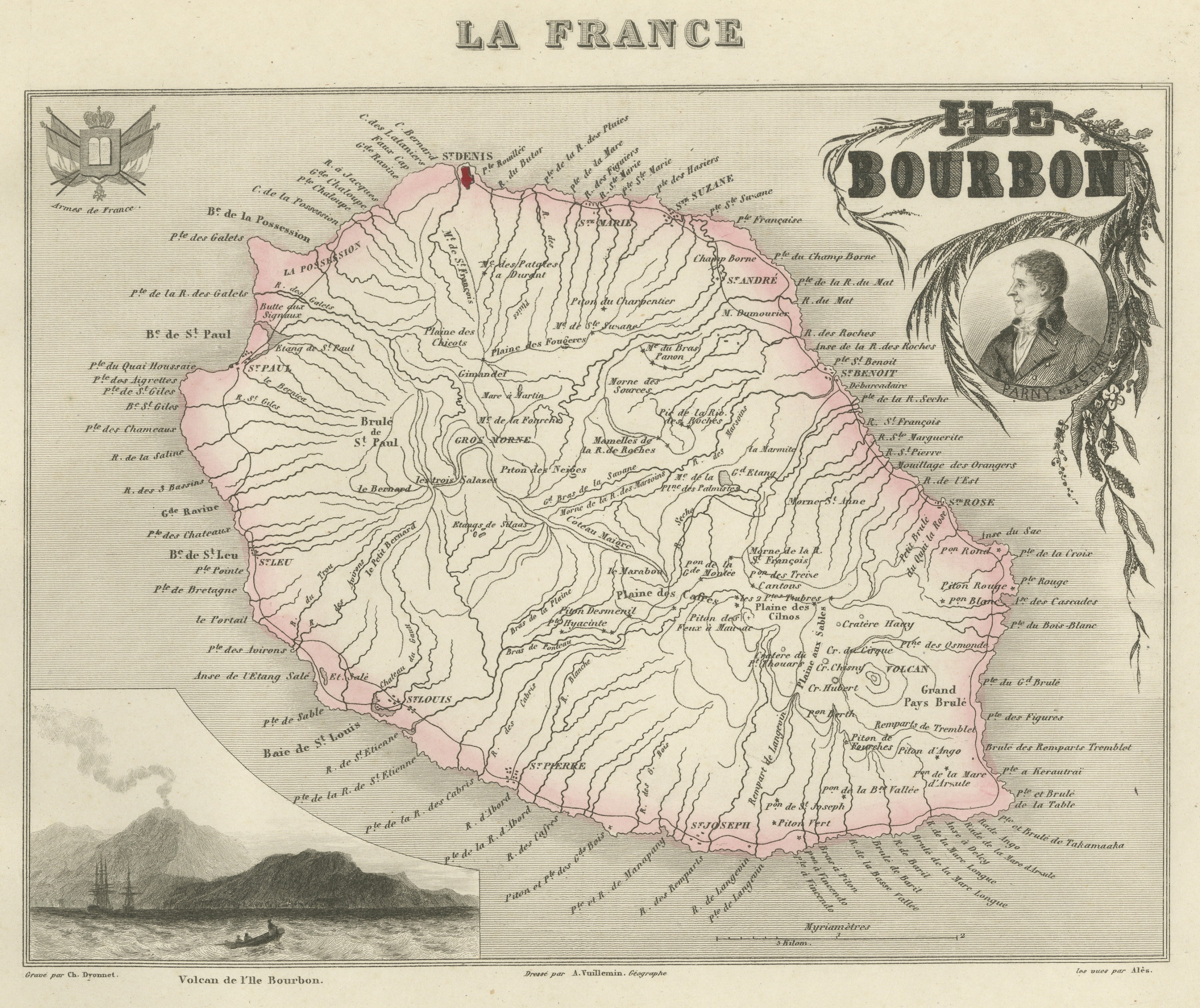
Antique Map of Bourbon, Reunion, with the Island Volcano, circa 1860
circa 1860 · € 320
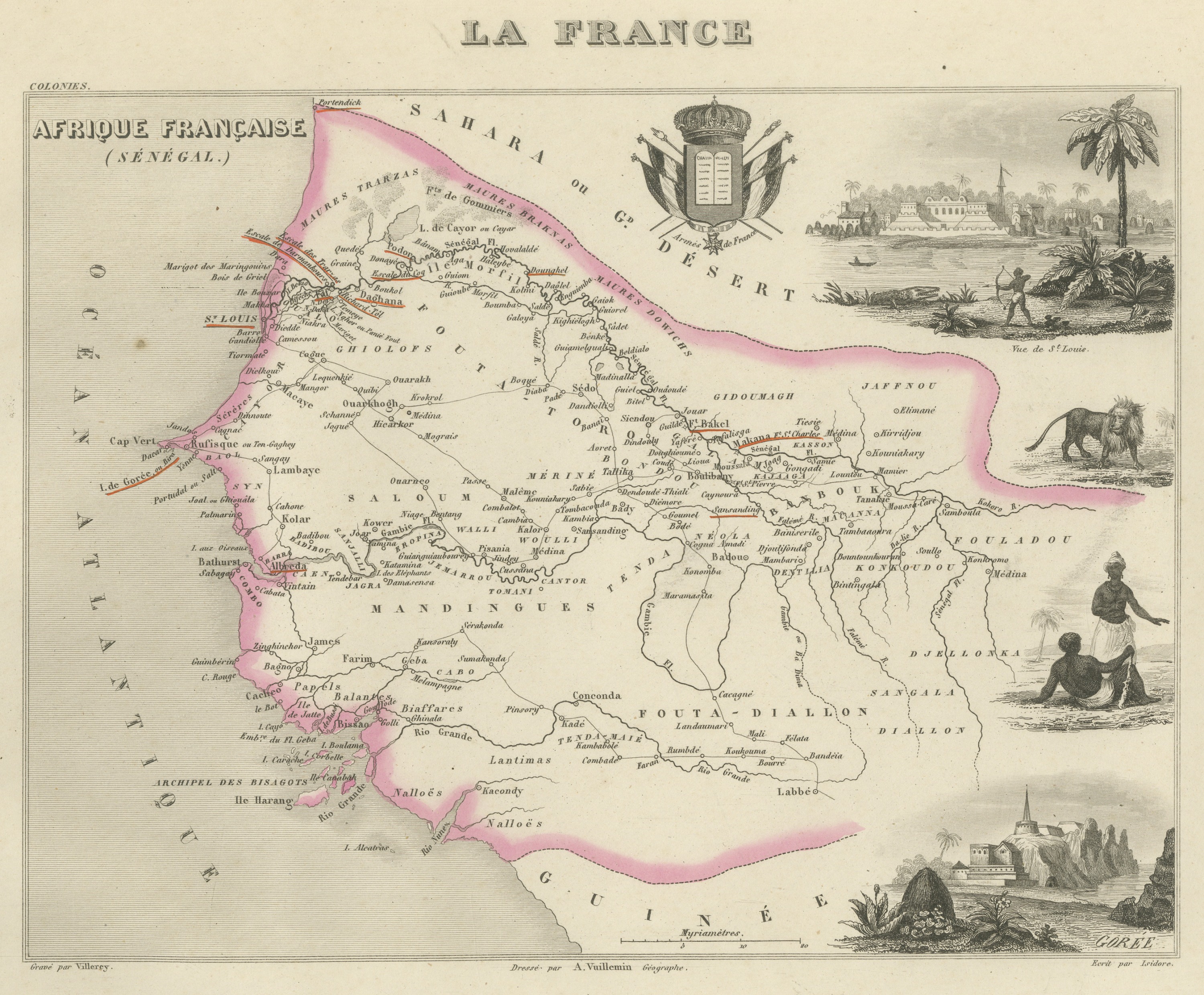
Antique Map of French Senegal, Goree and the Fouta-Djallon, circa 1860
circa 1860 · € 321
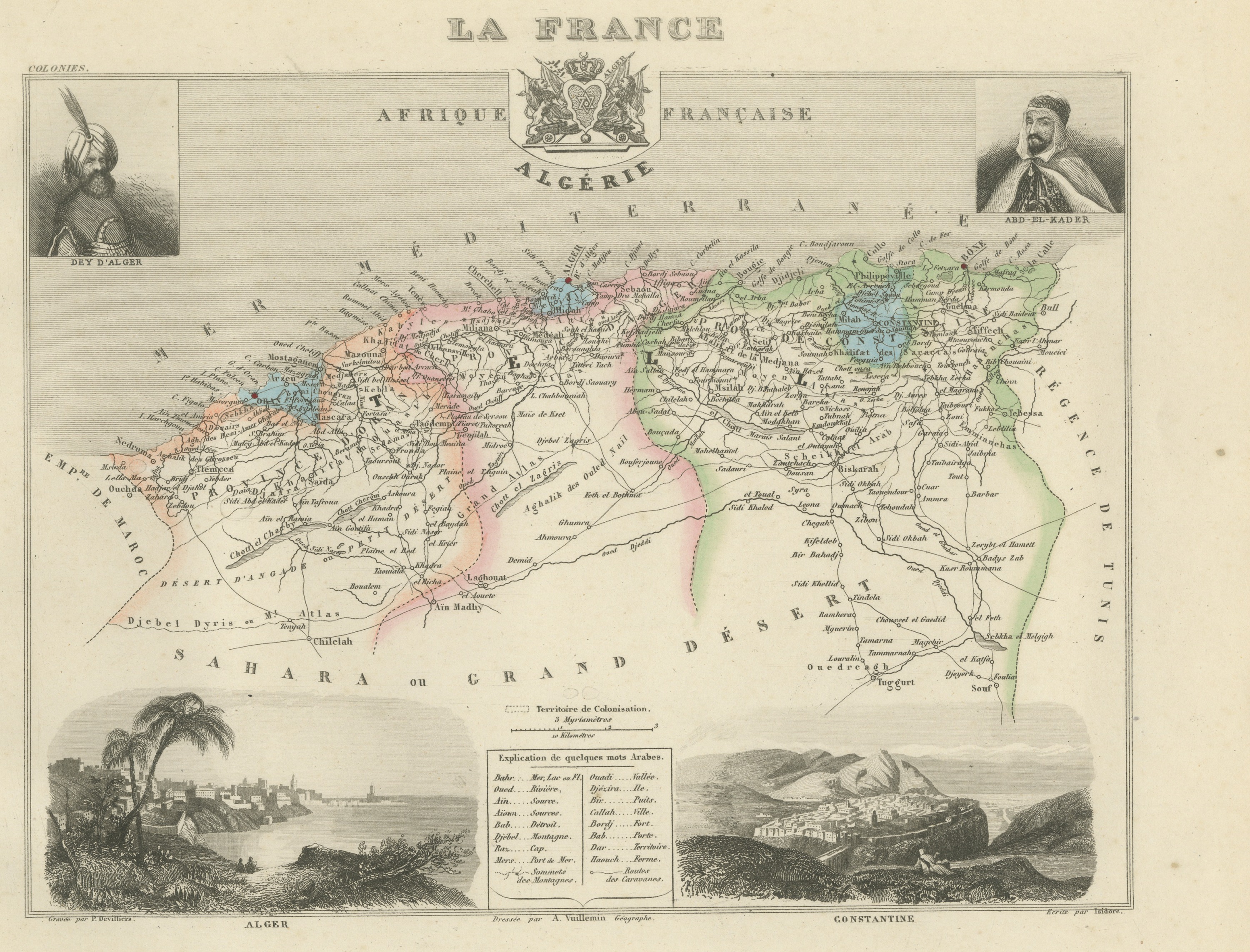
Antique Map of French Algeria, Algiers and Abd el-Kader, circa 1860
circa 1860 · € 320
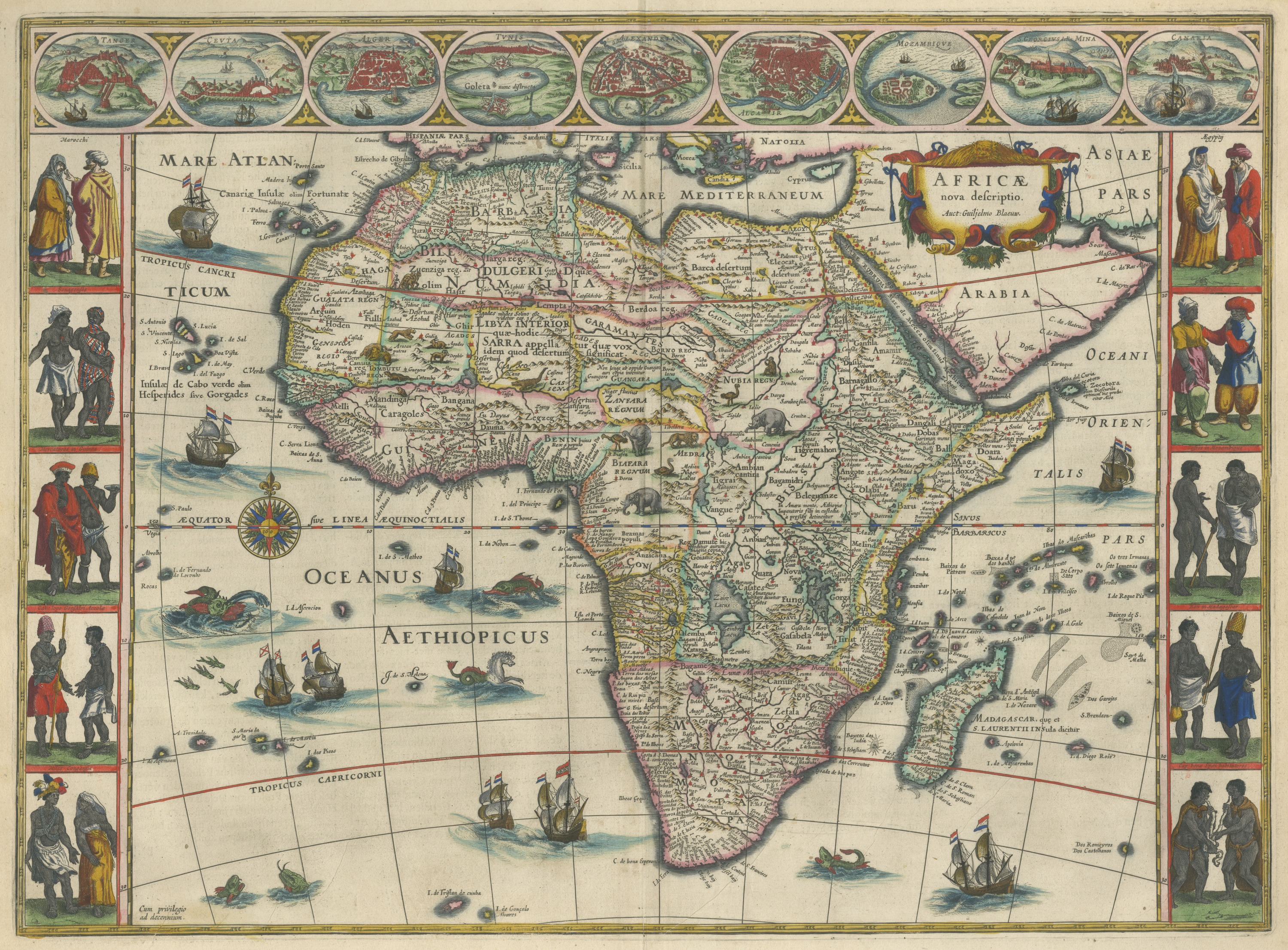
Antique Blaeu Map of Africa, Madagascar and the Barbary Coast, 1642
1642 · € 5 500
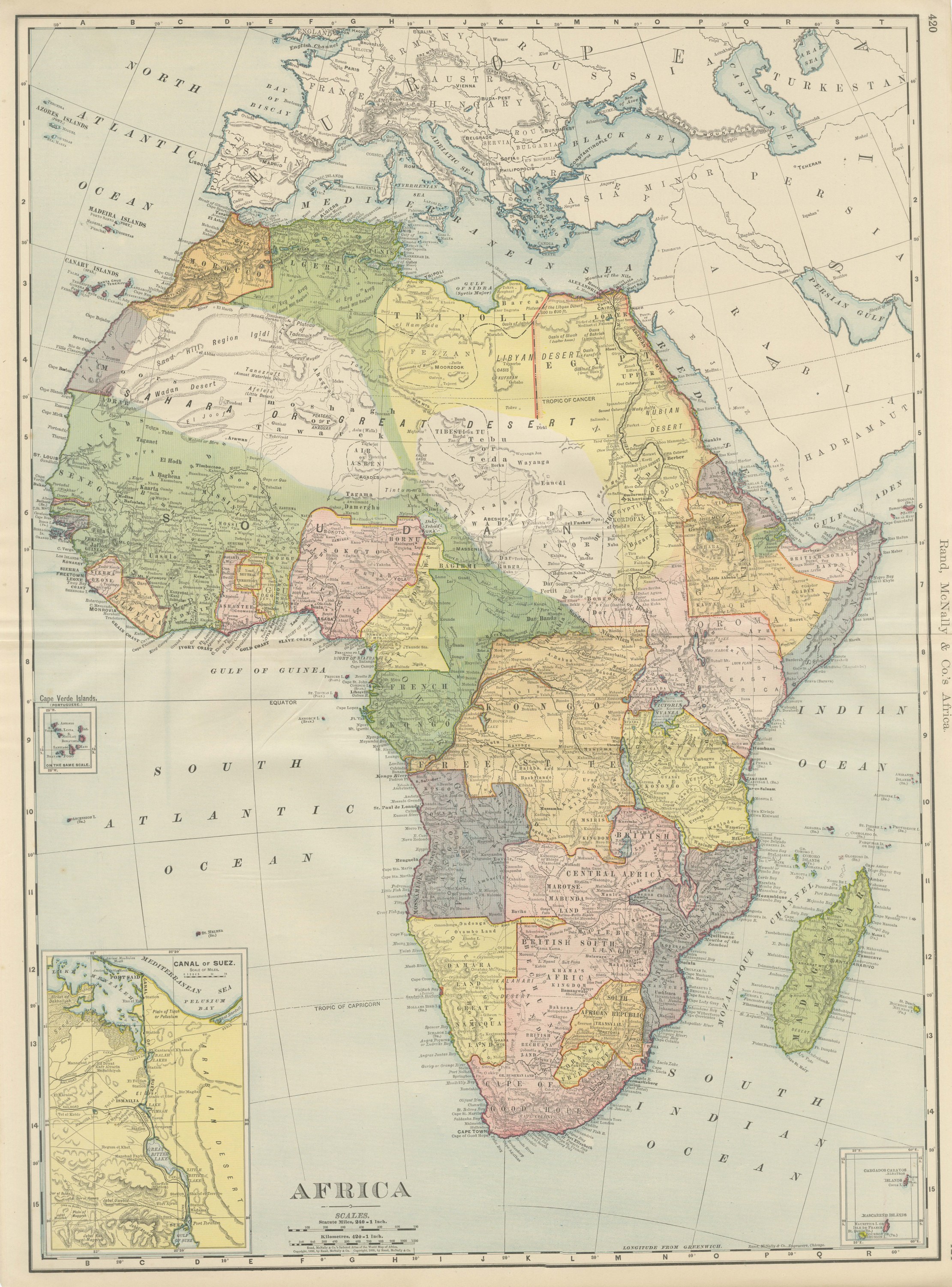
Antique Map of Africa, Colonial Partition, Rand McNally, 1899
1899 · € 345
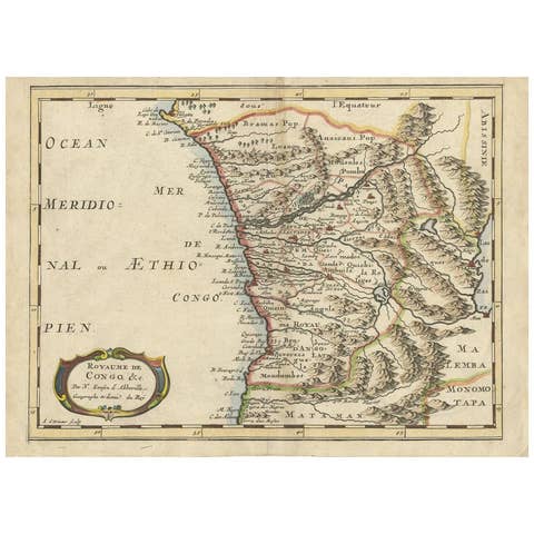
Antique Map of the Congo, Gabon and Angola by N. Sanson, circa 1700
1700 · € 259

Antique Plan of the City of Damietta Egypt by C. Niebuhr, 1774
1774 · € 180
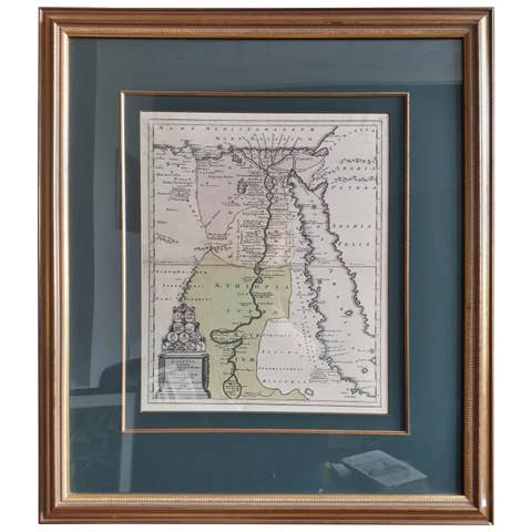
Original Antique Map of Egypt in Frame by C. Weigel, circa 1720
1720 · € 975

Antique Map of Bourbon/Reunion 'France' by V. Levasseur, 1854
1854 · € 200
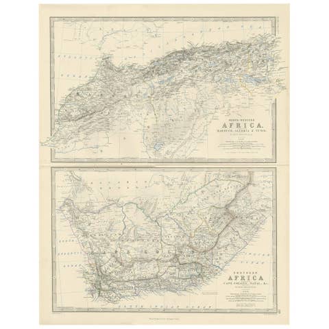
Antique Map of North-Western and South Africa by A.K. Johnston, 1865
1865 · € 260
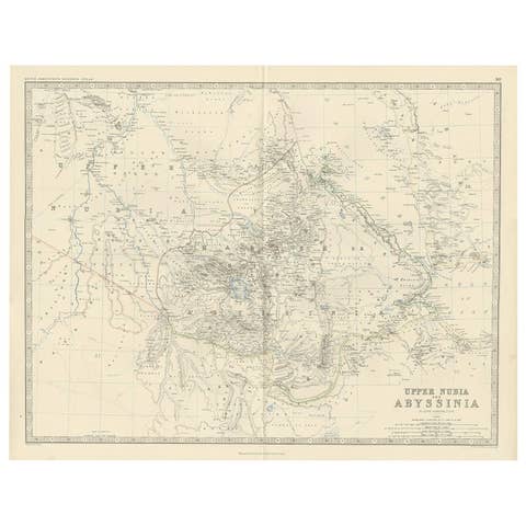
Antique Map of Upper Nubia and Abyssinia by A.K. Johnston, 1865
1865 · € 240

Antique Map of Western Africa and the Cape Verde Islands by Coronelli, 1691
1691 · € 900
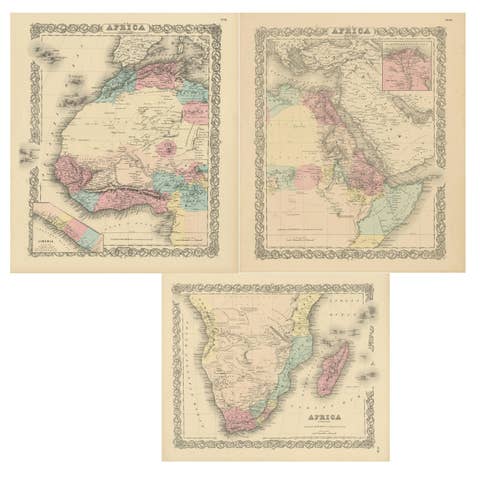
Set of Three Antique Maps of Africa by Colton (circa 1855)
1855 · € 252
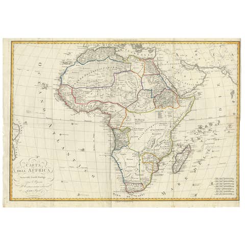
Antique Map of Africa by Bordiga Fratelli 'circa 1818'
1818 · € 1 800
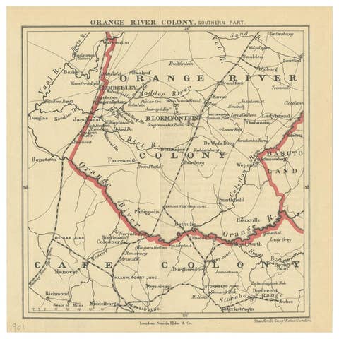
Antique Map of the Southern Part of the Orange River Colony by Stanford, 1901
1901 · € 100
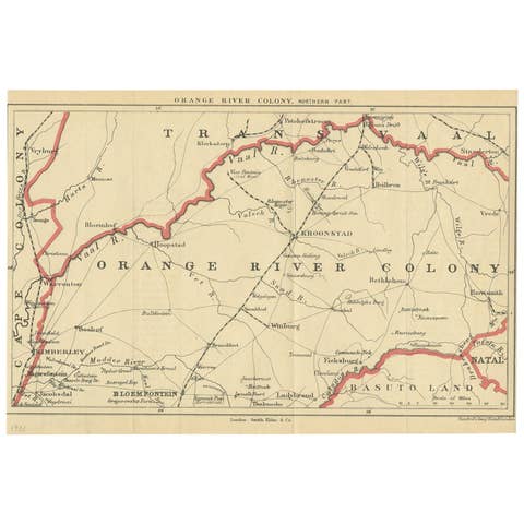
Antique Map of the Orange River Colony in South Africa, 1901
1901 · € 173
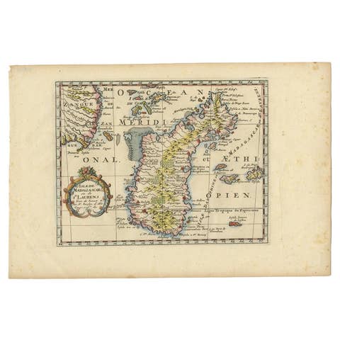
Antique Map of Madagascar by N. Sanson, circa 1680
1680 · € 250

Antique Map of the region near Annesley Bay by Wagner, 1870
1870 · € 160
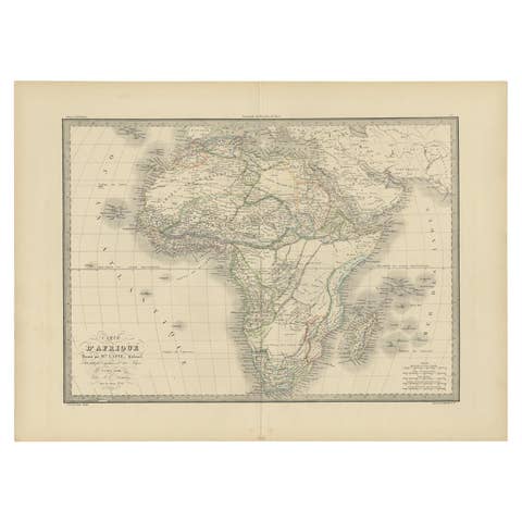
Antique Map of Africa by Pierre M. Lapie, Mid-19th Century Print, 1842
1842 · € 499
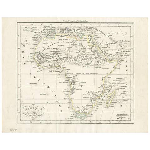
Antique Map of Africa by Dufour, circa 1834
1834 · € 200
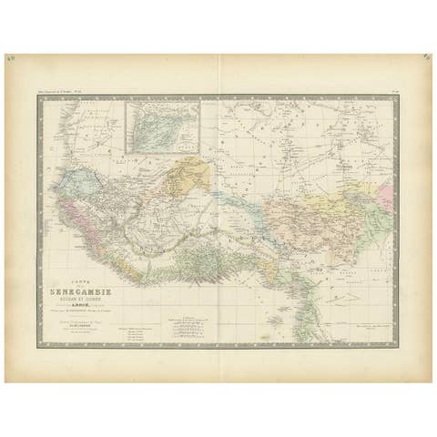
Antique Map of Western Africa by Levasseur '1875'
1875 · € 400
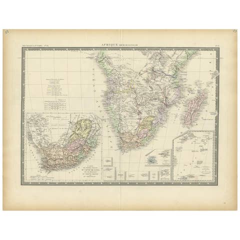
Antique Map of Southern Africa by Levasseur, 1875
1875 · € 360

Antique Map of Northern Africa by Levasseur, '1875'
1875 · € 400

Antique Map of Africa by Janssonius, Rare Paneled Print, Circa 1655
1655 · € 3 000
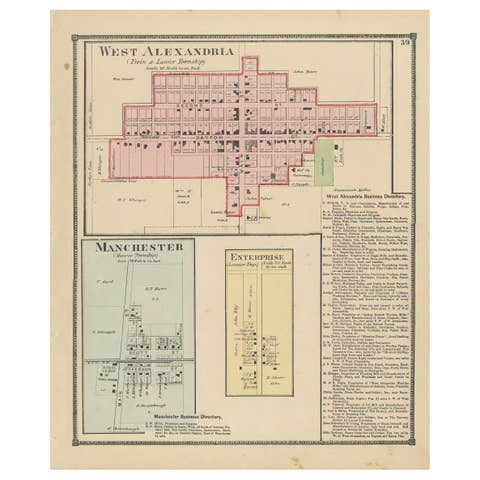
Antique Map of West Alexandria, Manchester & Enterprise, 1871
1871 · € 250
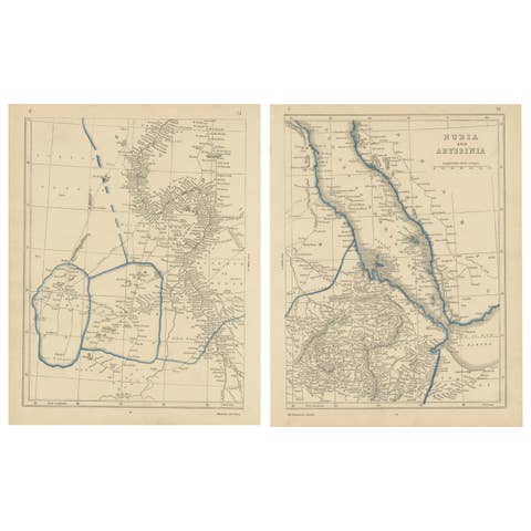
Antique Map of Nubia and Abyssina by Lowry, 1852
1852 · € 150

Antique Map of West Africa by Lowry, 1852
1852 · € 250
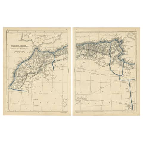
Antique Map of North Africa by Lowry '1852'
1852 · € 150

Original Hand-Colored Antique Map of Africa by Elwe '1792'
1792 · € 1 000
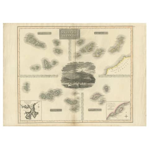
Antique Map of the Atlantic Islands, 1817
1817 · € 450
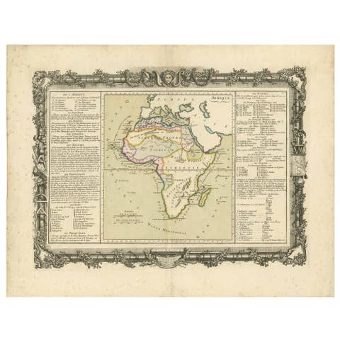
Antique Map of Africa by Claude Buy de Mornas '1761'
1761 · € 500