About this sheet
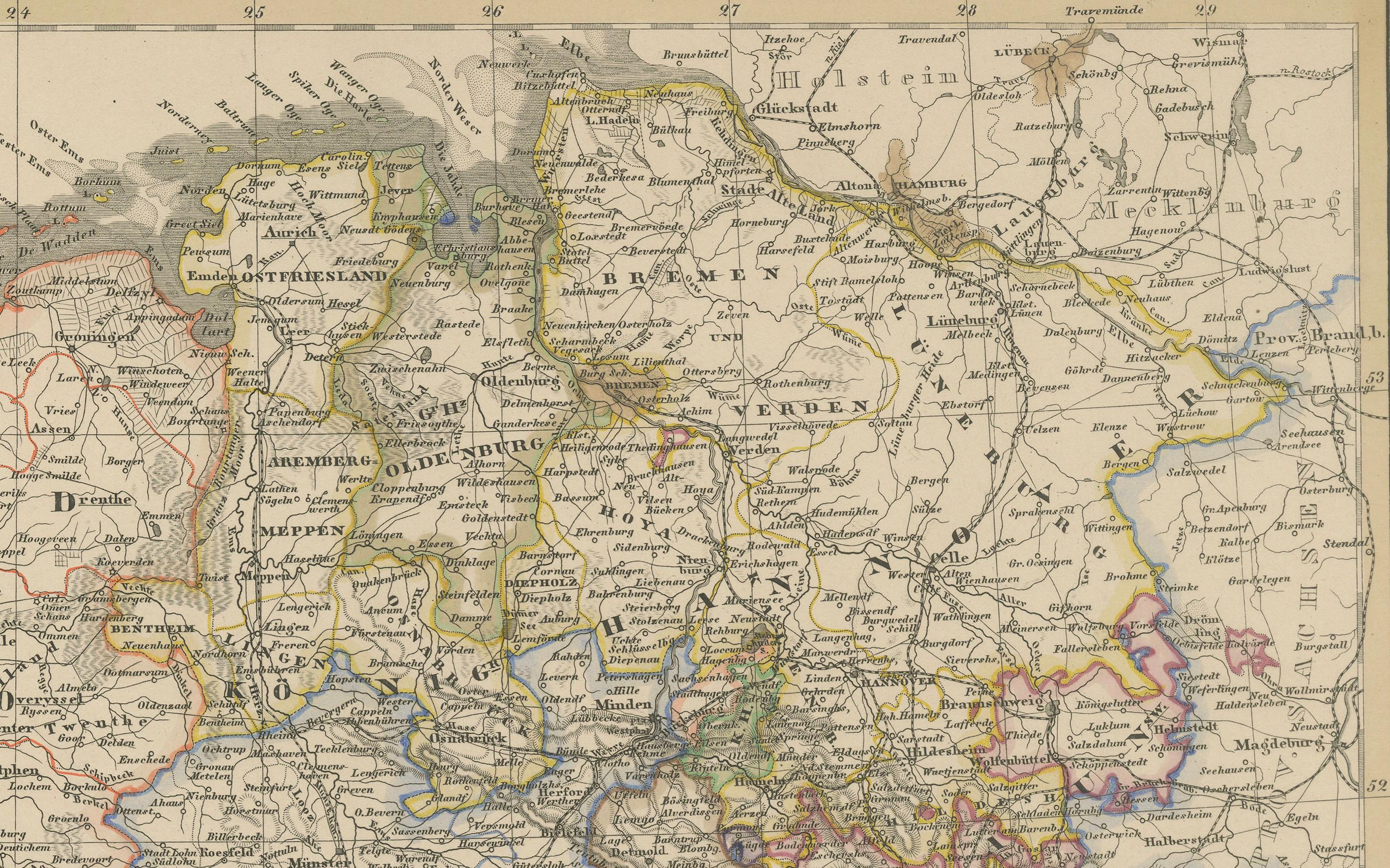
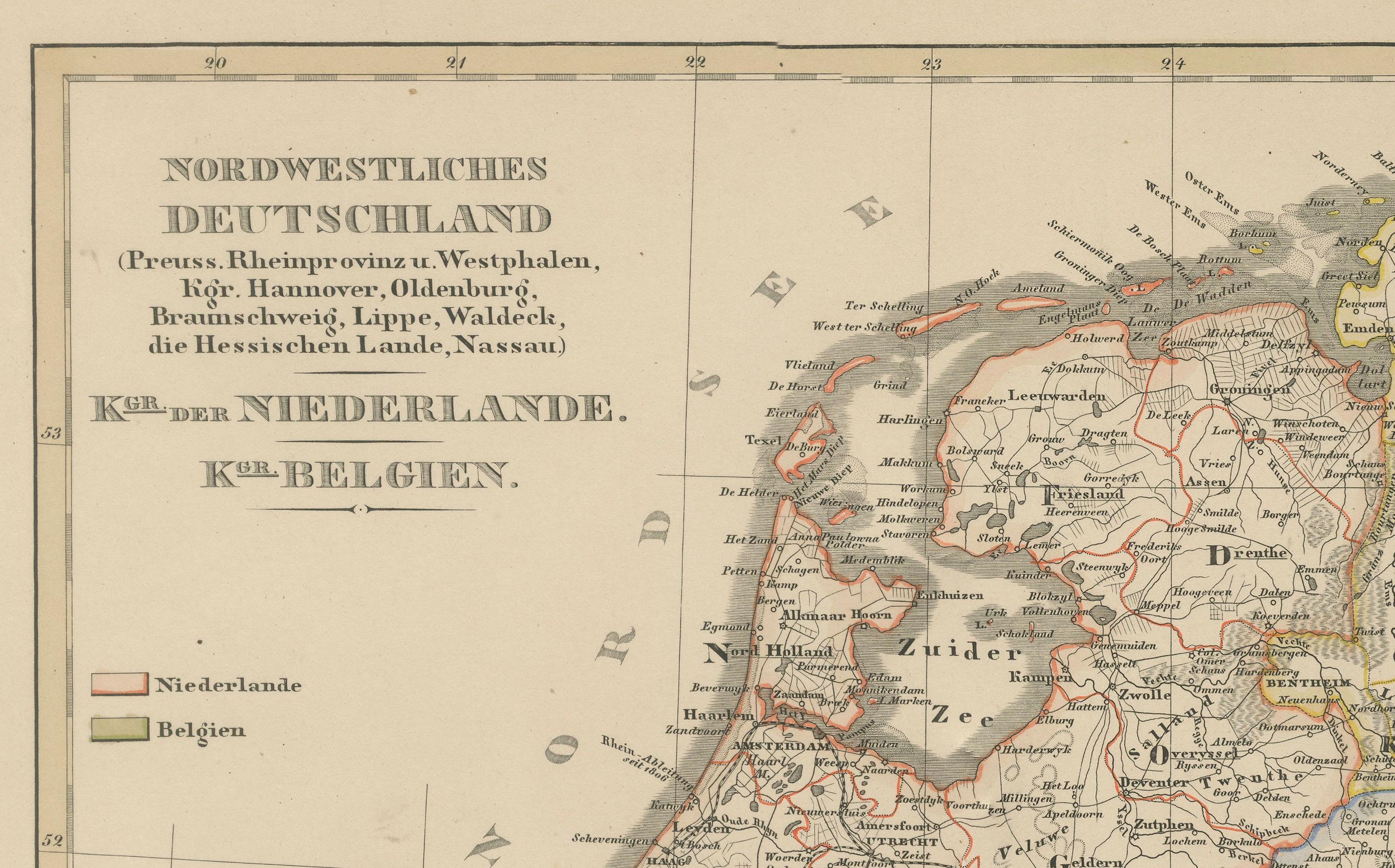
Antique Map of Northwestern Germany, Netherlands & Belgium – 1858
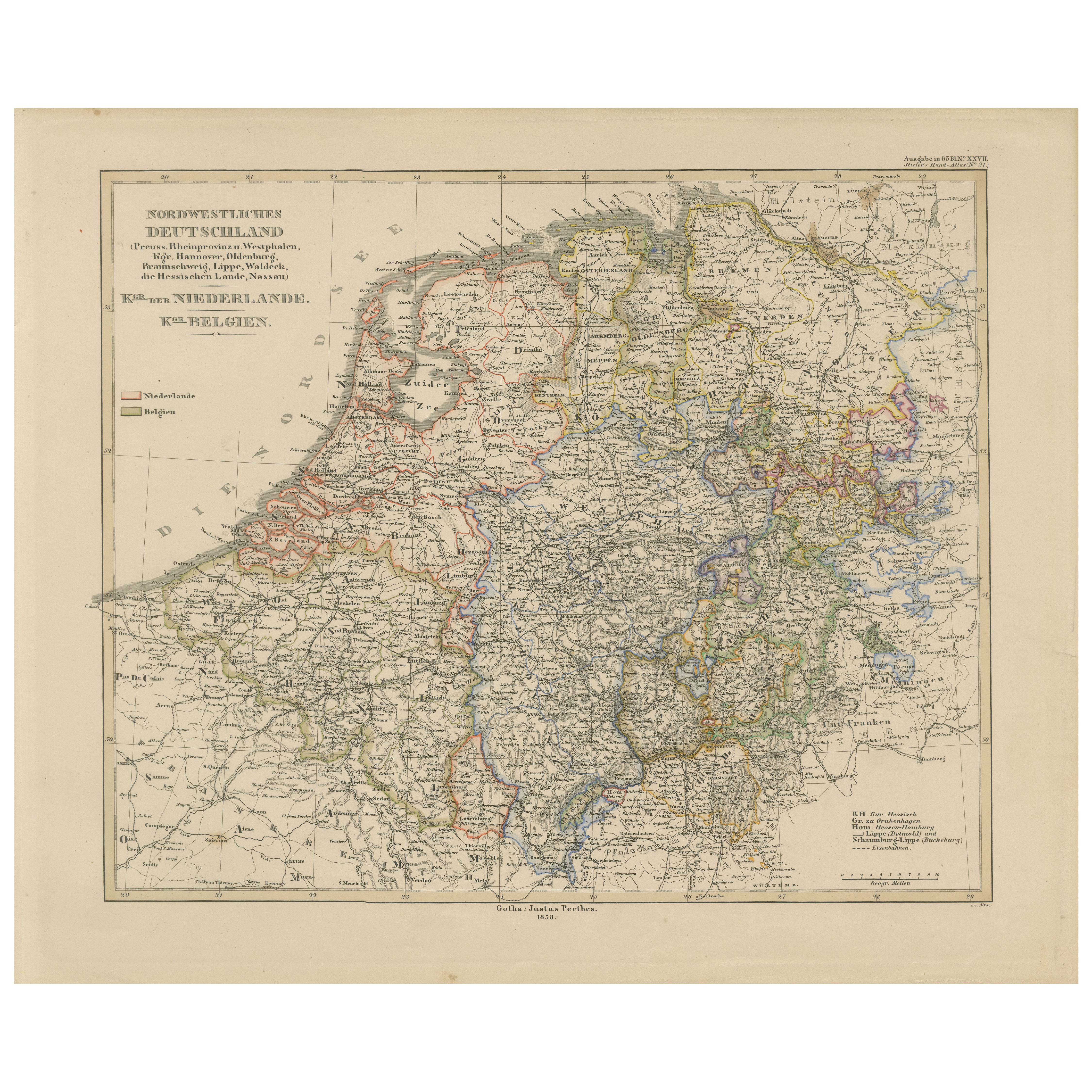
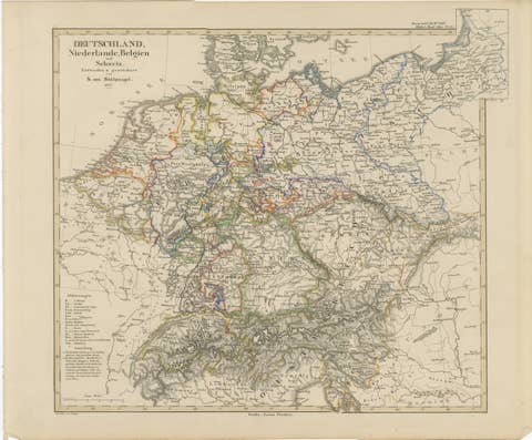
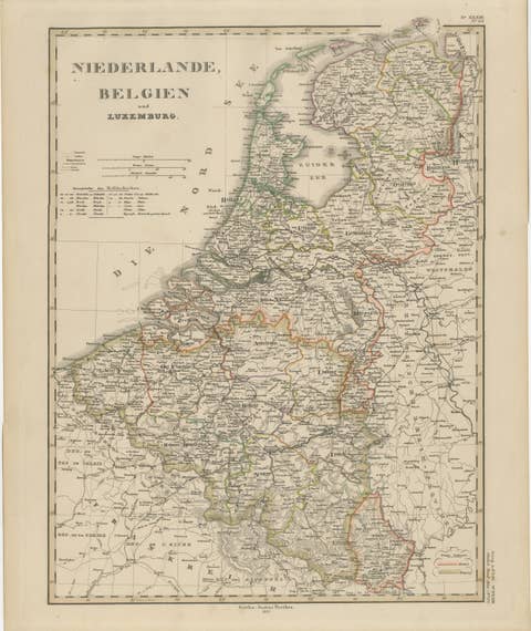
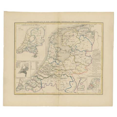
Detailed 19th-century engraved map titled "Nordwestliches Deutschland, Kgr. der Niederlande, Kgr. Belgien" (Northwestern Germany, Kingdom of the Netherlands, Kingdom of Belgium), published by Justus Perthes in Gotha in 1858. This map highlights the regions of Prussia, Hanover, Oldenburg, Westphalia, and surrounding areas, along with the neighboring Low Countries.
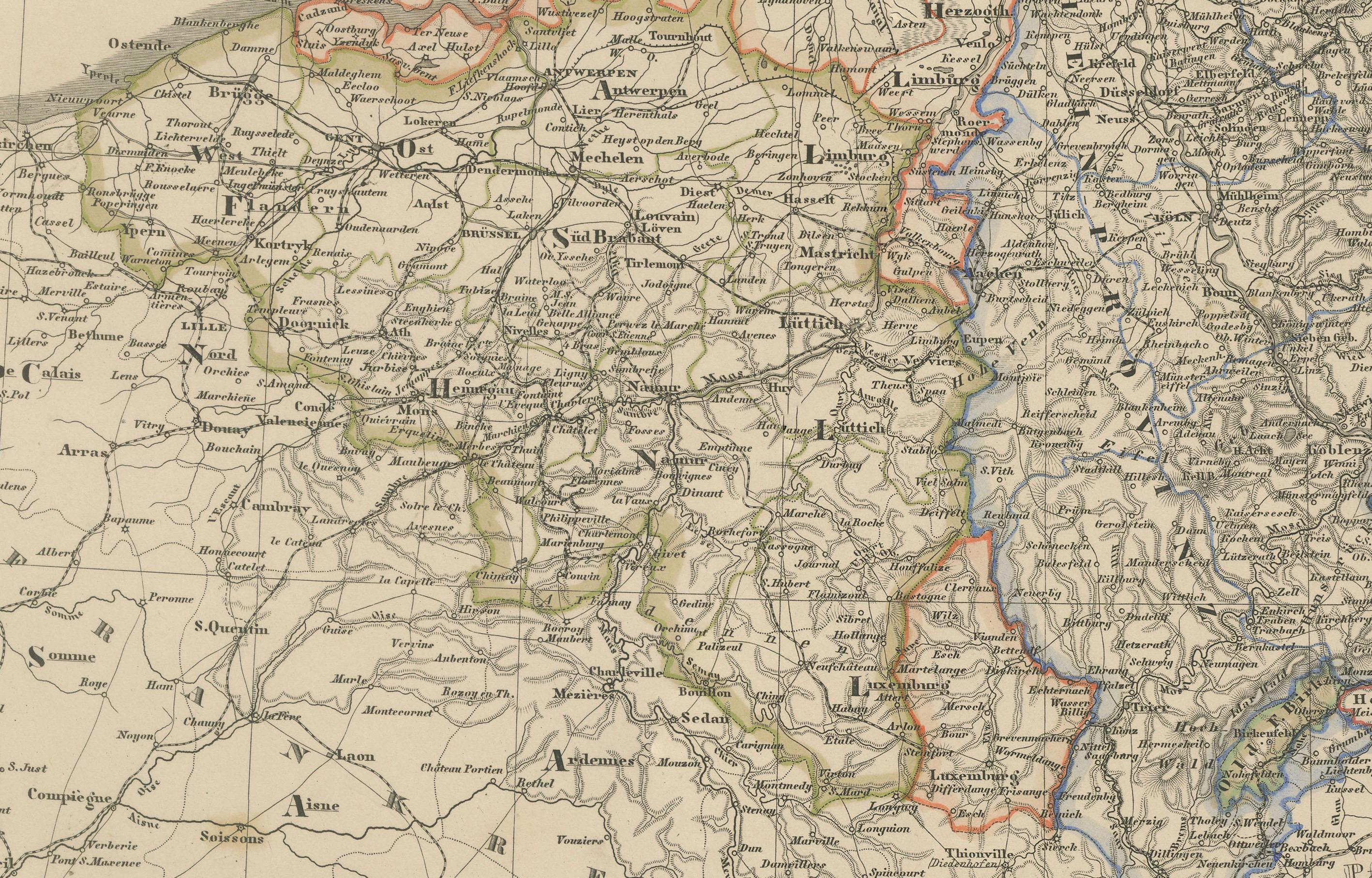
The map depicts the dense political landscape of mid-19th-century northwestern Europe, with state and provincial boundaries outlined in hand-applied colors. The Netherlands is bordered in red, while Belgium is bordered in yellow, reflecting the political boundaries established after Belgian independence in 1830. Key cities such as Amsterdam, Brussels, Antwerp, Cologne, Bremen, and Münster are clearly marked, along with an intricate network of towns, rivers, and roads.
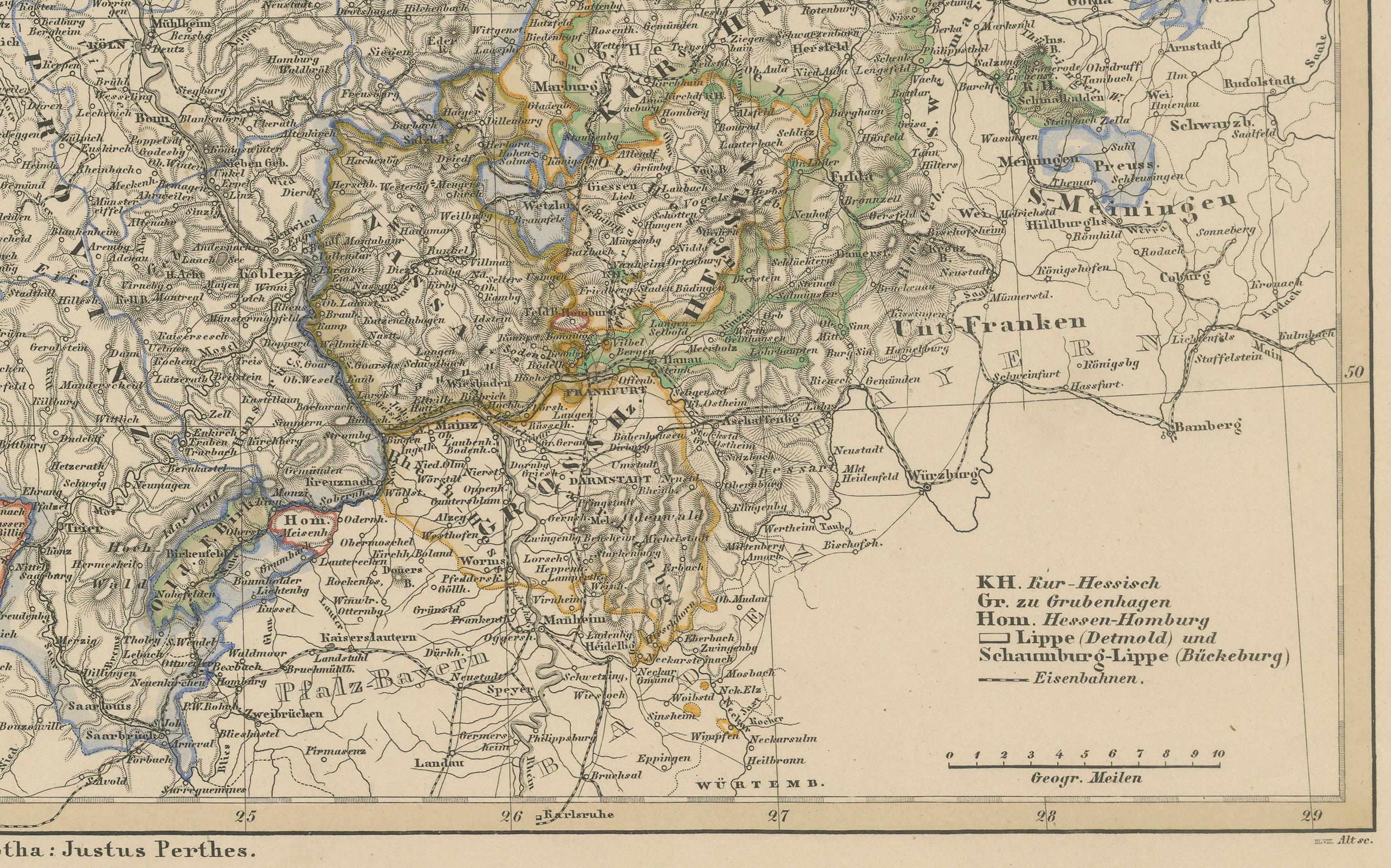
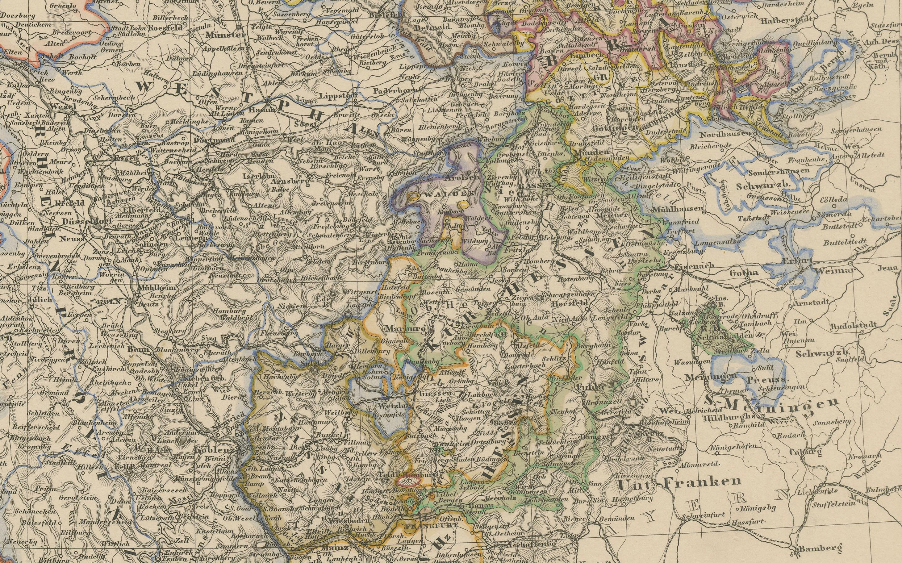
Topographical details are finely engraved, particularly in regions like the Ardennes and the hilly areas of Westphalia and Hesse. The Rhine River and its tributaries are clearly charted, showing their importance for trade and travel during this period. Smaller states such as Lippe, Waldeck, and Nassau are individually marked, illustrating the fragmented political structure of pre-unification Germany.
This map is both a decorative and historically significant piece, capturing the geopolitical boundaries of northwestern Europe before German unification (1871) and during a time of industrial expansion and modernization.
Condition report:
Good condition. Slight age-related toning in the margins. Hand-coloring remains vibrant. No tears, repairs, or foxing present. Please refer to the image for details.
Framing tips:
A black or walnut frame with a soft cream or parchment mat will highlight the colored borders. A double mat with a thin red or golden accent line can draw attention to the Dutch and Belgian outlines. Perfect for display with other European maps of the period.
Technique: Copperplate engraving with original hand-coloring
Maker: Justus Perthes, Gotha, 1858