About this sheet
1855 Engraved Map of Switzerland with Cantonal Borders by Stülpnagel
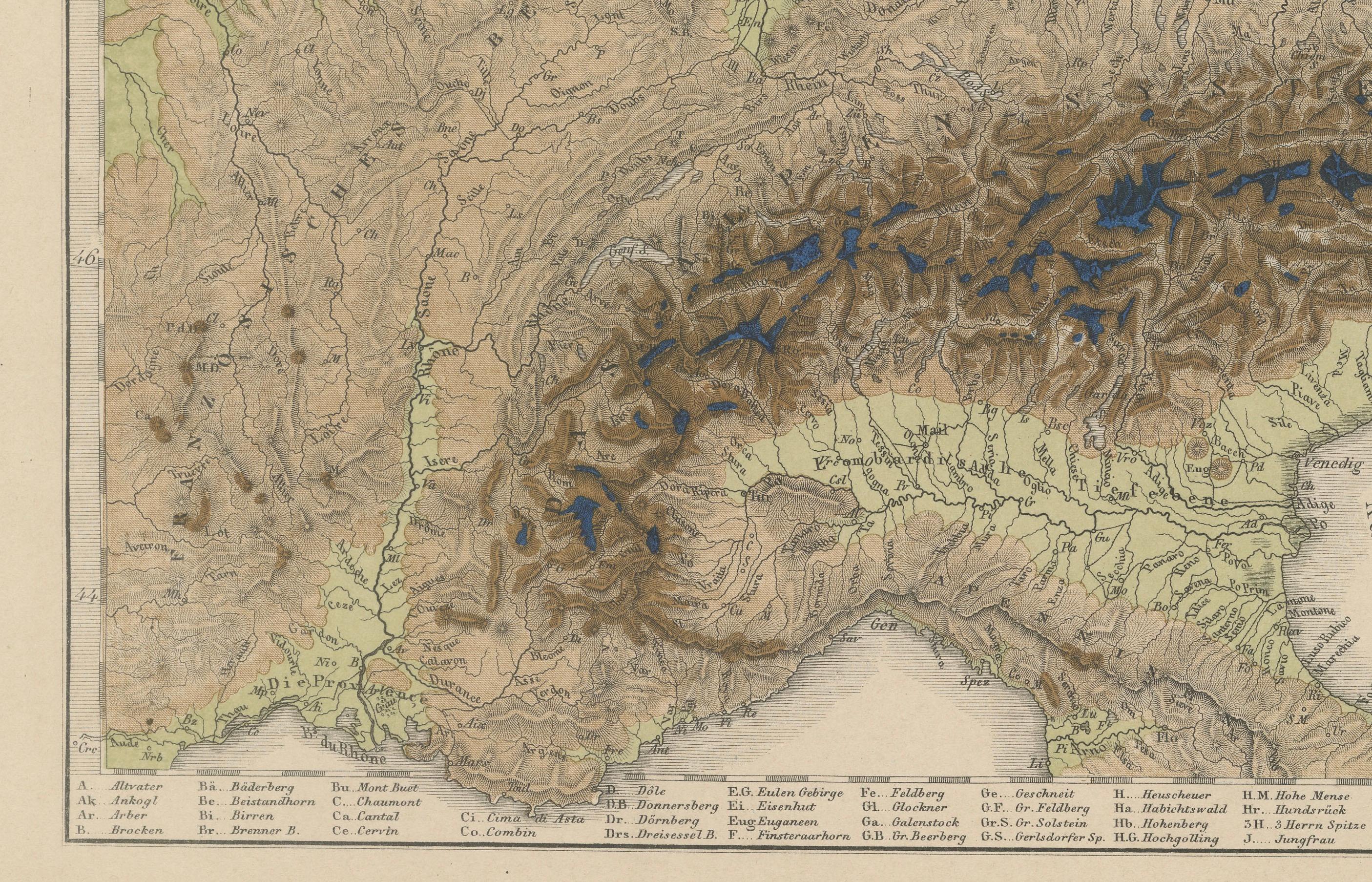
This finely detailed antique map of Switzerland, titled "Die Schweiz," was published in 1855 by the renowned German cartographer Freiherr F. von Stülpnagel and printed by Justus Perthes of Gotha. It presents a beautifully engraved and meticulously labeled depiction of mid-19th-century Switzerland, highlighting the diverse topography and administrative divisions of the Swiss Confederation.
Each canton is outlined in vibrant original hand-coloring, clearly distinguishing the regional boundaries in this alpine nation. The map includes major towns, rivers, lakes, roads, and mountain passes, making it not only a decorative piece but also an informative historical reference. The depiction of the rugged terrain is particularly well executed, with dense hachuring techniques used to convey the mountainous relief of the Alps and the Jura range.
Important cities such as Bern, Zürich, Geneva, Lausanne, Basel, and Lucerne are prominently marked, and the extensive labeling extends even to smaller towns and villages. Lake Geneva (“Genfersee”) and Lake Constance (“Bodensee”) are included in fine detail, along with other significant geographical features like the Rhône and Rhine rivers.
The map also features a legend (Erklärung) identifying political borders, cantonal seats, forts, and roads, offering a deeper understanding of Swiss infrastructure and governance during the period. A small inset map in the lower right corner shows a magnified area, likely one of the cantons, providing added geographic clarity.
Stülpnagel’s work is highly regarded for its precision and aesthetic appeal, and this map reflects the cartographic quality and educational intent typical of Justus Perthes’ publishing output.
Condition report:
Very good condition. Crisp impression with vibrant original hand-coloring outlining the cantonal borders. Minor toning and light foxing in the margins consistent with age. No tears or repairs. Please study the image for details.
Framing tips:
A natural wood or walnut frame with a light cream or stone-colored mat would enhance the warm tones and fine engraving of this piece. For a formal setting, a gold frame can underscore the historical significance and decorative appeal.
Technique: Engraving with original hand-coloring
Maker: Freiherr F. von Stülpnagel, published by Justus Perthes, Gotha, 1855