About this sheet
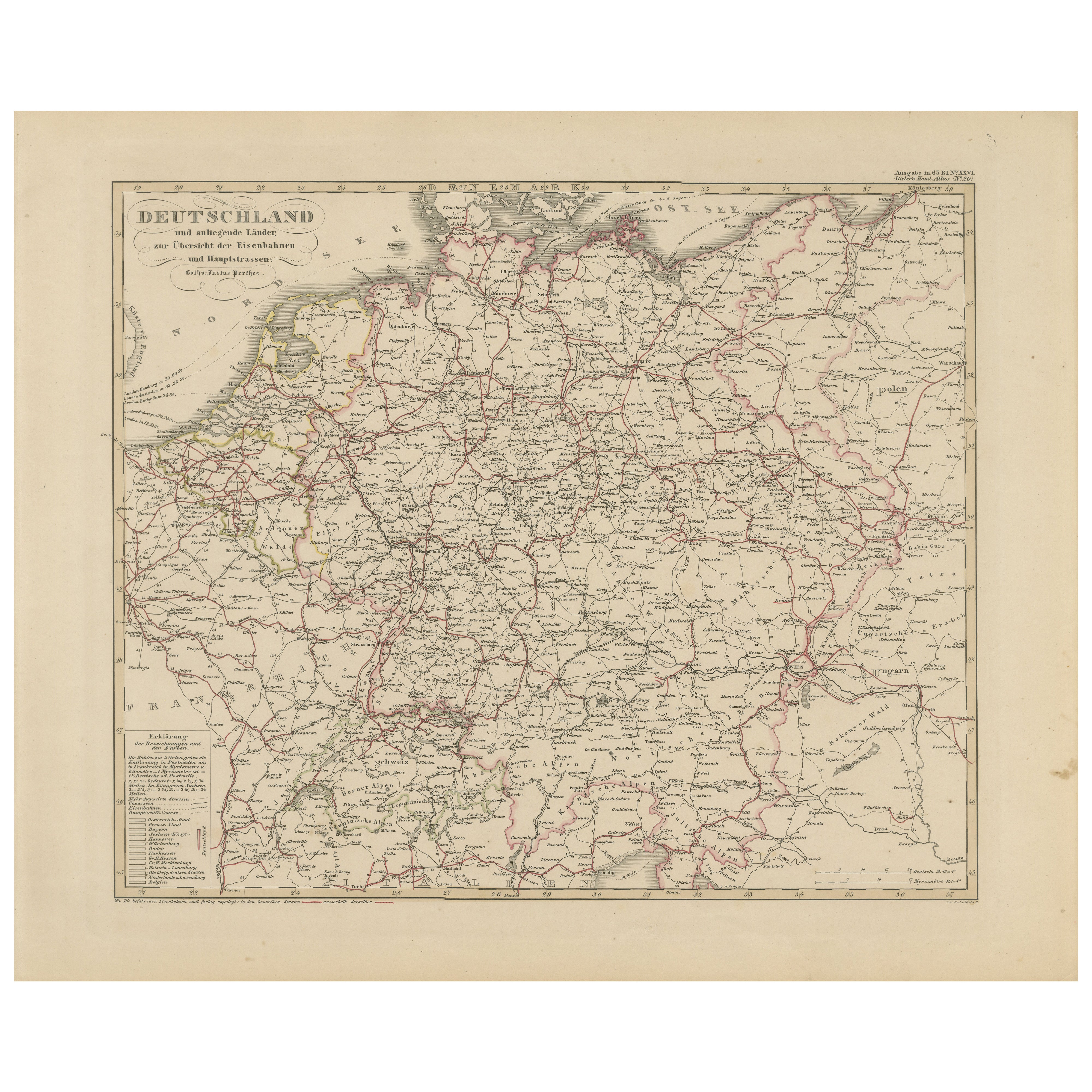
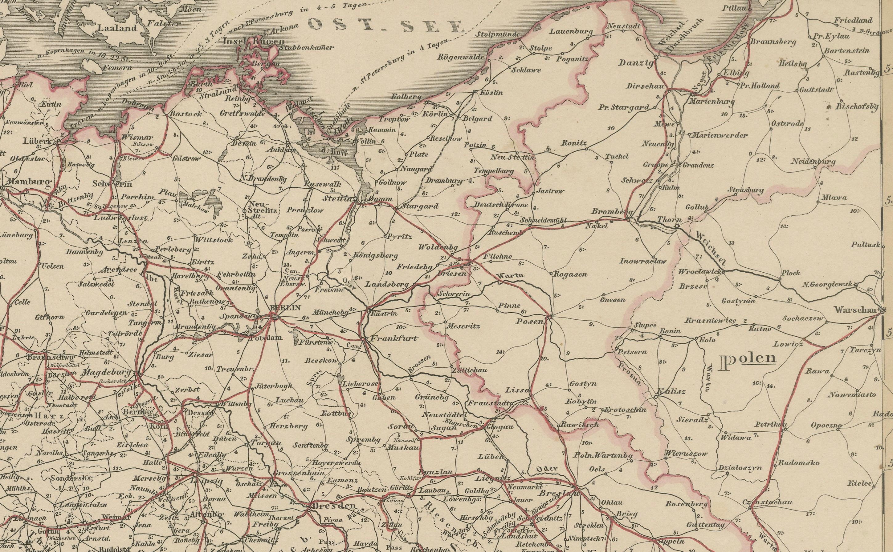
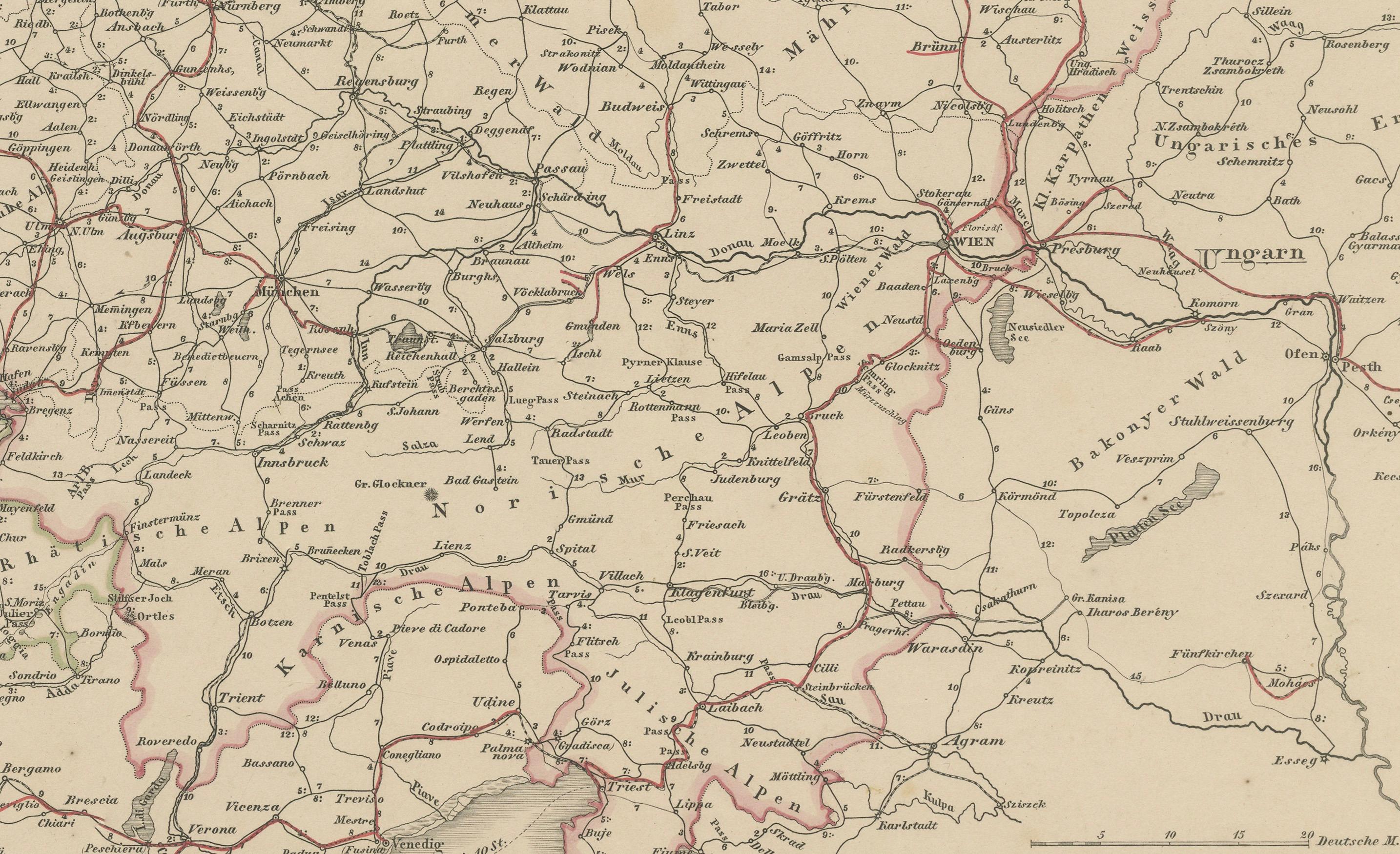
Antique Map of Germany & Railways – Transport Network Overview, 1857
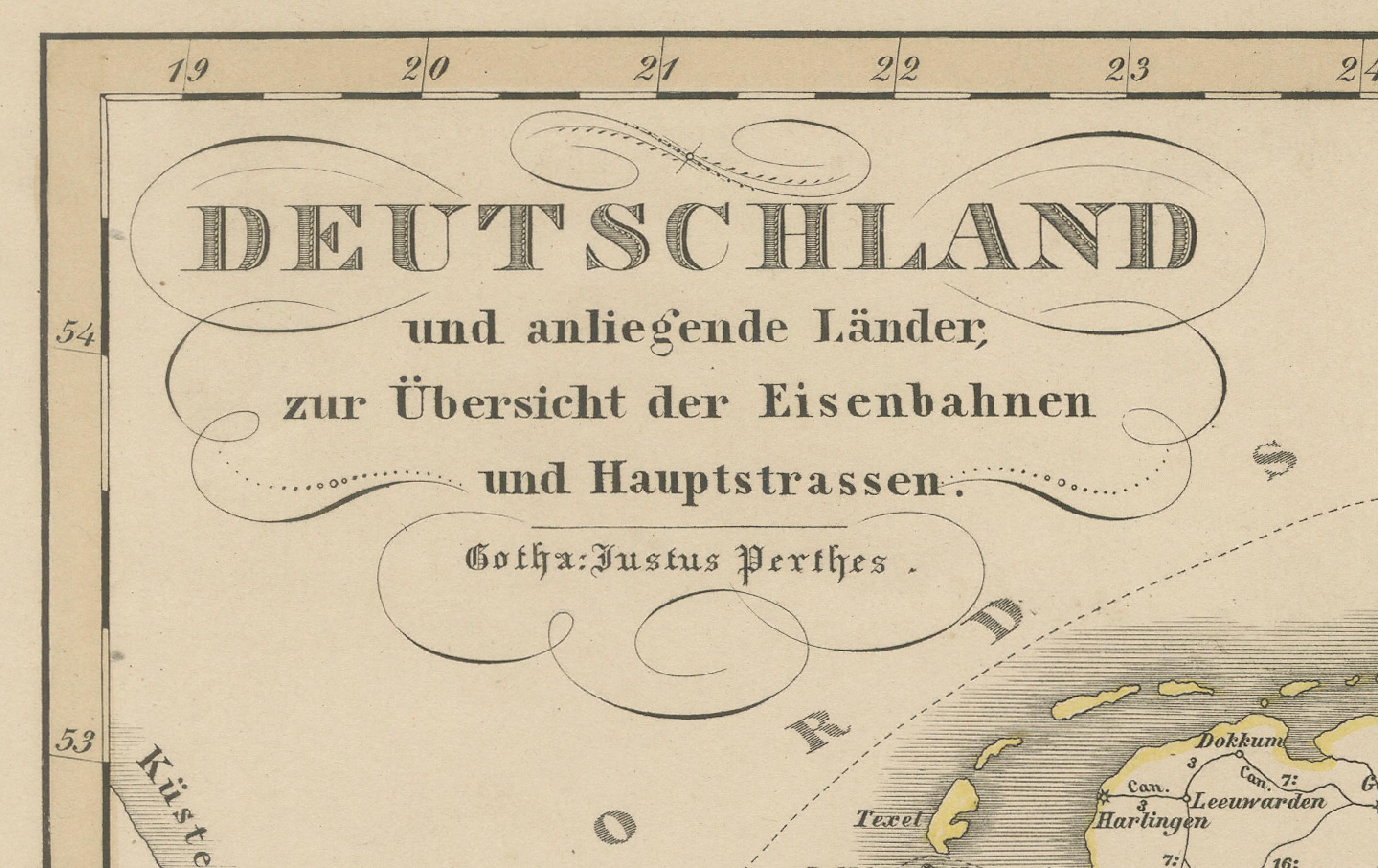
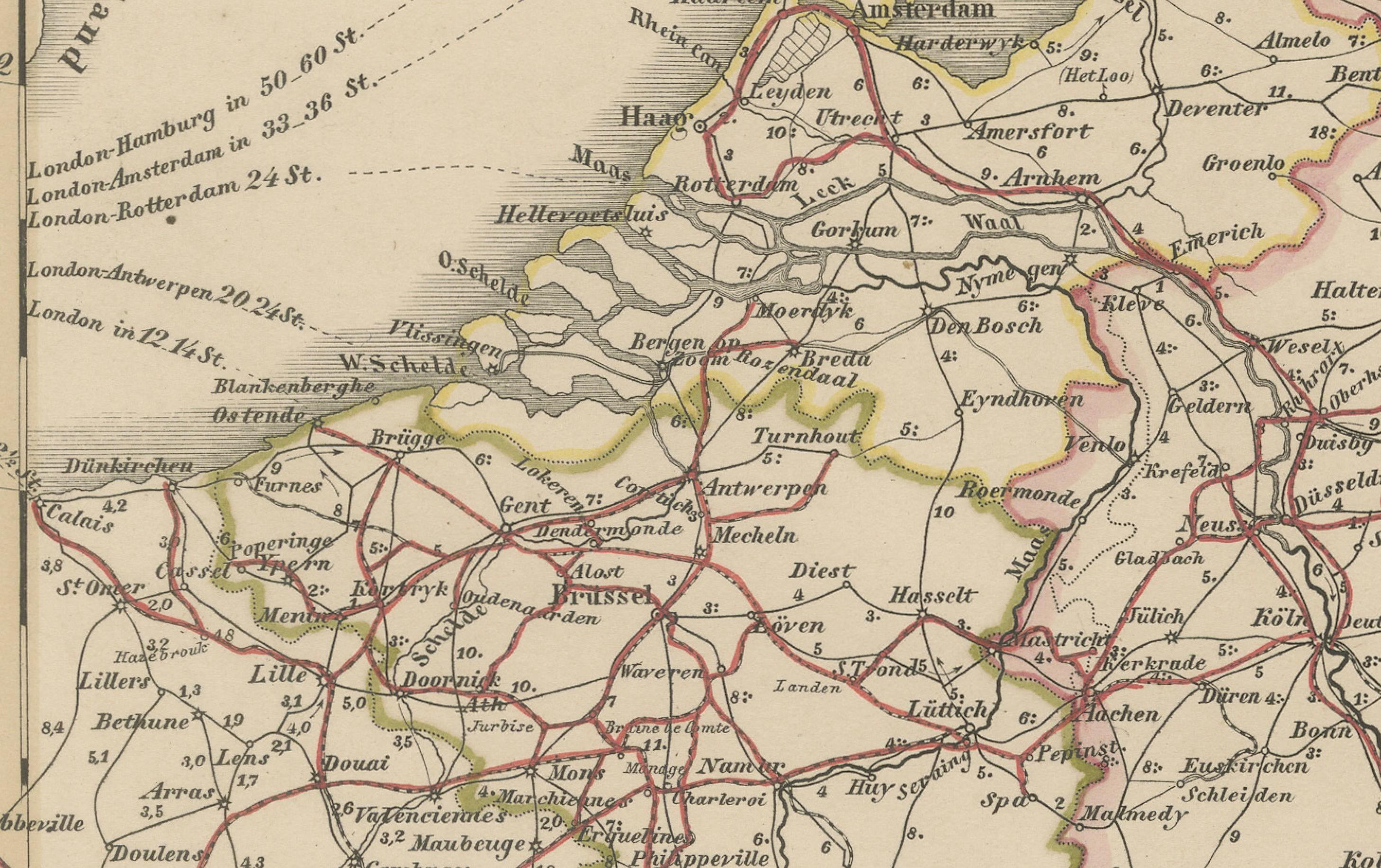
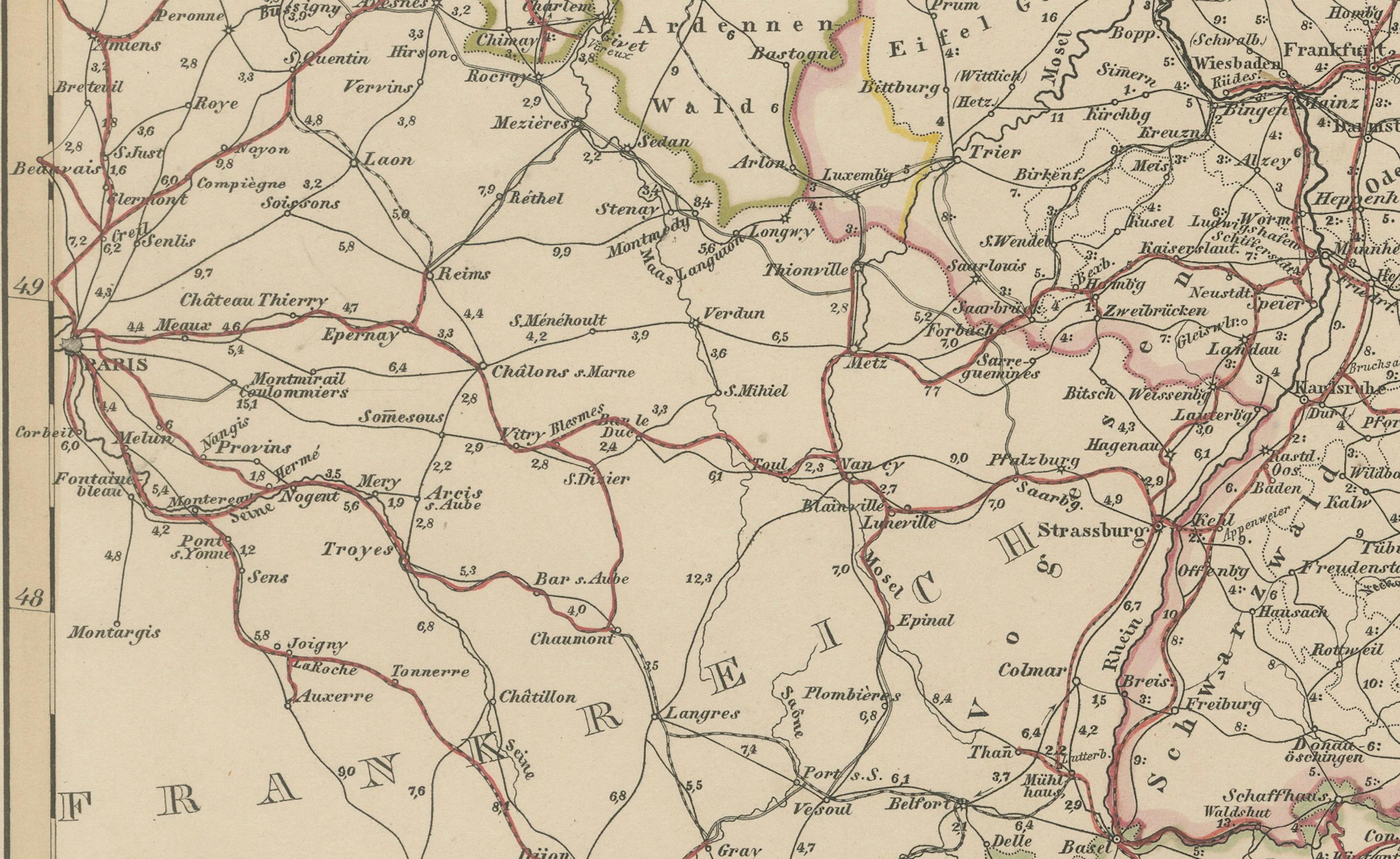
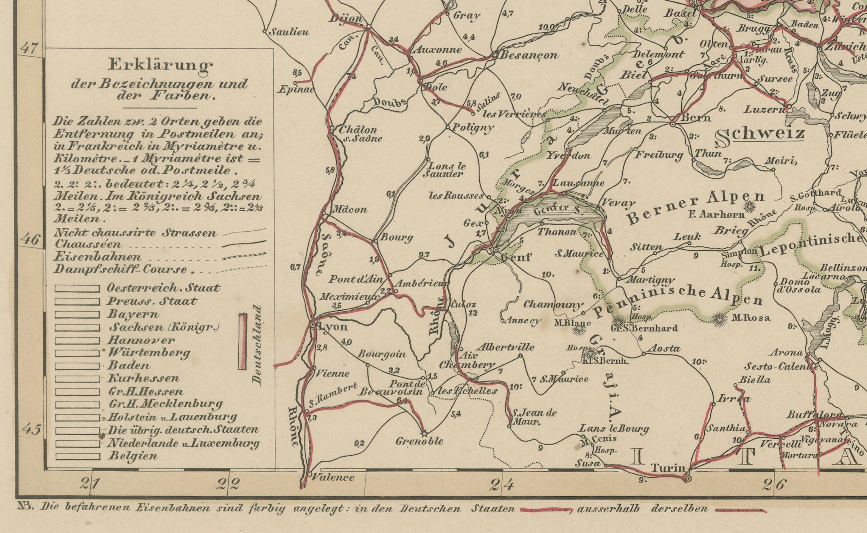
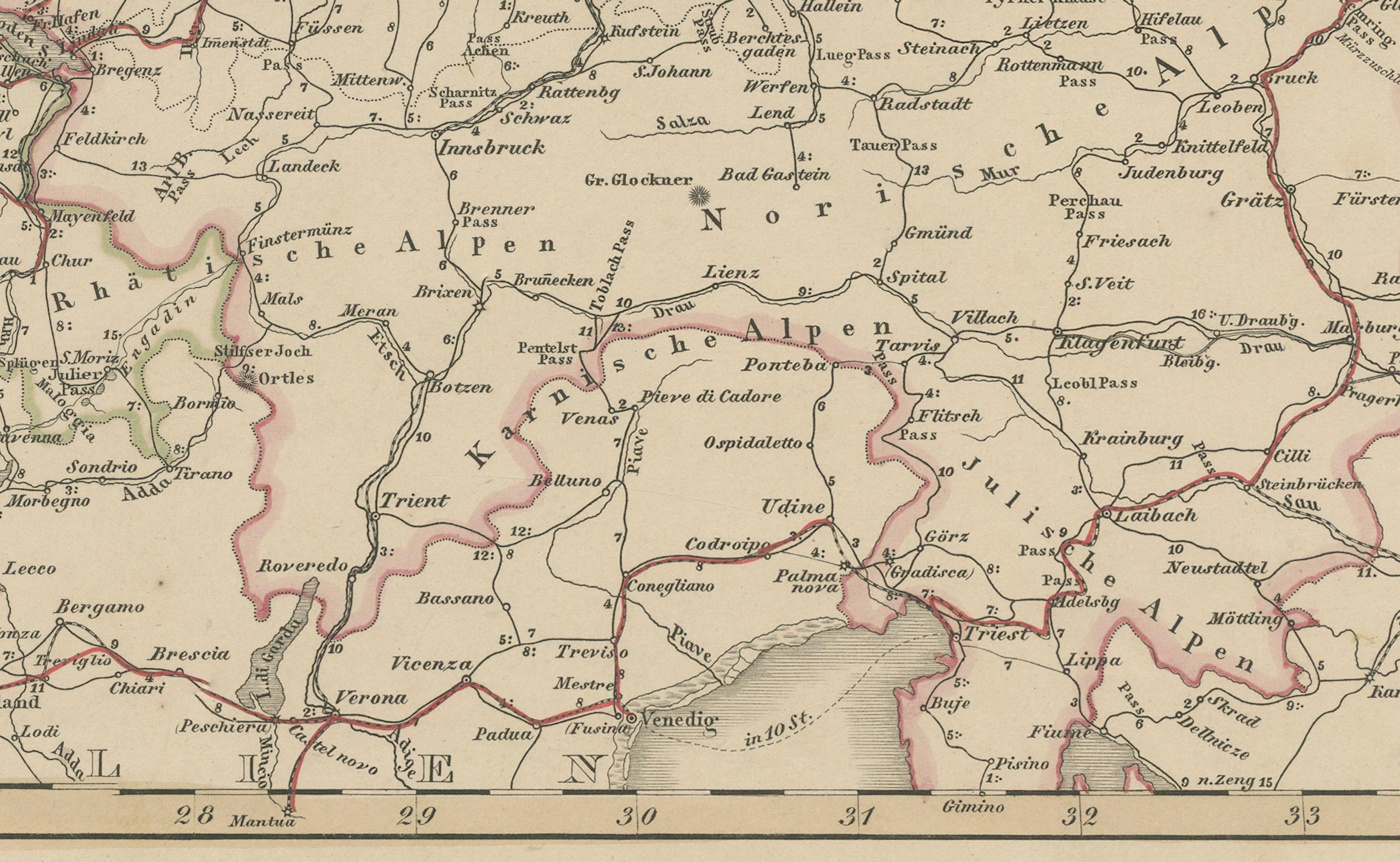
Striking 19th-century map titled "Deutschland und angränzende Länder zur Übersicht der Eisenbahnen und Hauptstrassen" (Germany and Neighboring Countries – Overview of Railways and Main Roads), published by Justus Perthes in Gotha in 1857. This transport-focused map offers a detailed look at the developing infrastructure of mid-19th-century Central Europe, with particular emphasis on Germany's expanding railway network.
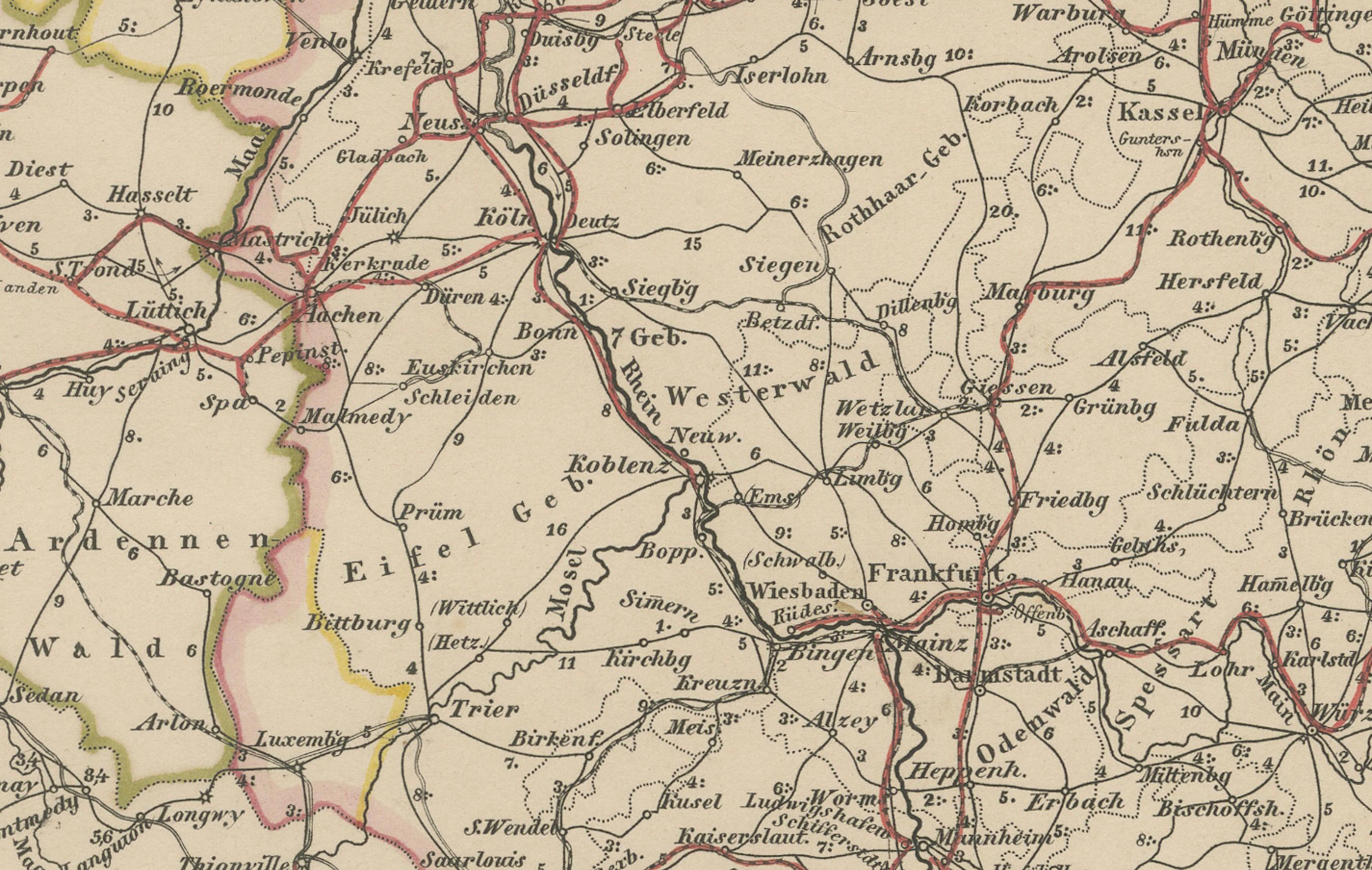
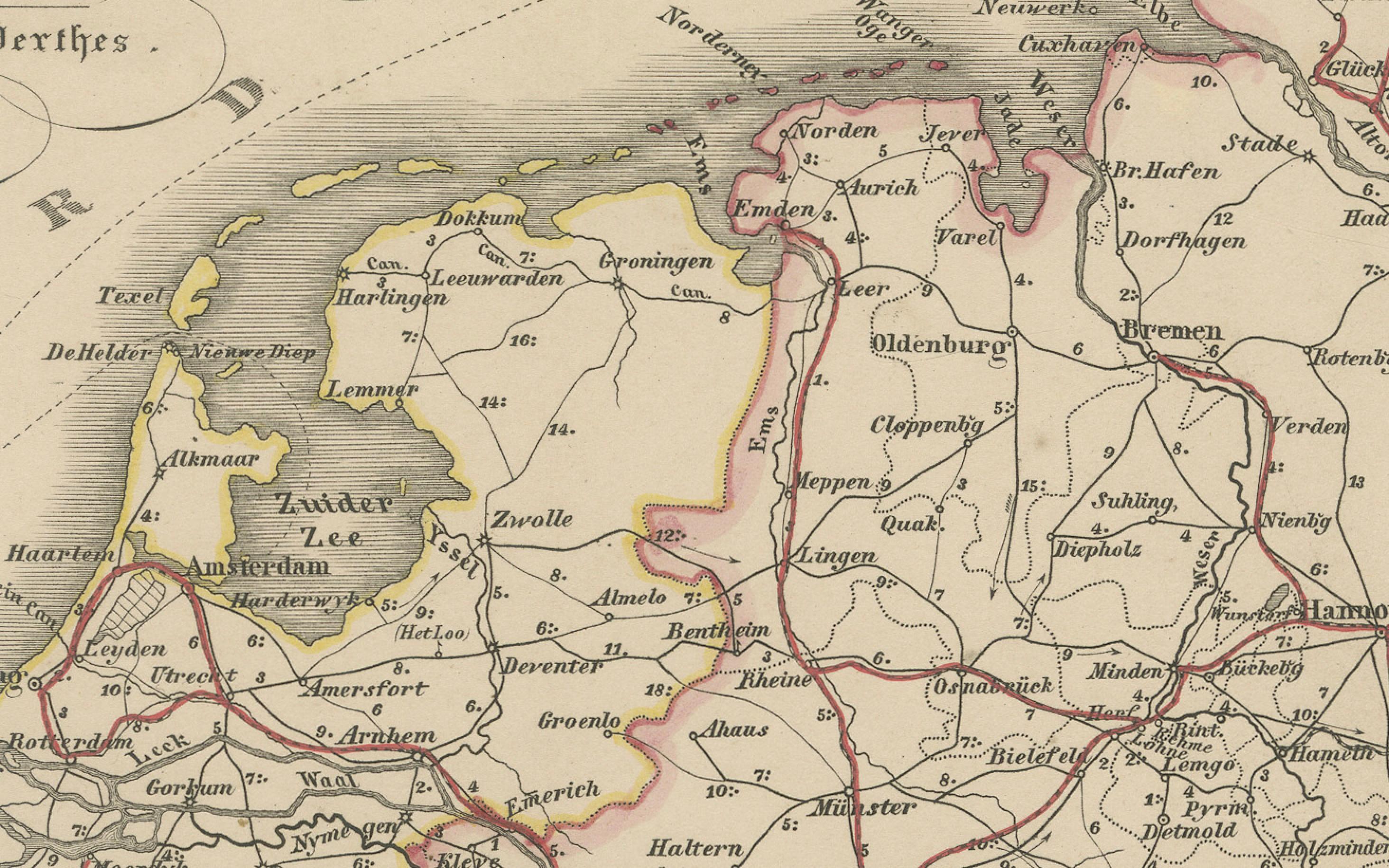
Rather than focusing on political boundaries, this map prioritizes rail lines and major roads, which are clearly marked in red throughout the German Confederation and neighboring countries such as the Netherlands, Belgium, France, Switzerland, Austria, and parts of Poland. City names are prominently labeled, with regional capitals, major junctions, and hubs clearly indicated, providing insight into the logistics and travel patterns of the time.
The extensive railway lines reflect the rapid industrialization of the German states during the 1850s, connecting urban centers like Berlin, Frankfurt, Munich, Cologne, and Hamburg. Important trade routes to ports and industrial zones are visibly mapped, and the dense network reveals how transportation was transforming mobility, commerce, and communication across Europe.
A legend in the lower left corner explains the cartographic symbols for railroads, post routes, and boundaries, and the clarity of the engraving allows for easy interpretation of travel corridors.
This map is not only a historical document of cartography and transport history but also a compelling visual representation of Europe on the verge of unification and industrial expansion. It would greatly appeal to collectors interested in railway history, German unification, and antique transport maps.
Condition report:
Very good condition. Minor toning and faint spots near the outer margin. Engraving is crisp, and the red hand-coloring is clear. No tears, repairs, or annotations. Please inspect the image for finer details.
Framing tips:
For a scholarly or industrial aesthetic, use a black or dark metal frame with a clean off-white or light grey mat. A thin red inner mat line can enhance the visual impact of the highlighted railway routes. This piece suits office spaces, libraries, and transportation-themed collections.
Technique: Copperplate engraving with original hand-coloring
Maker: Justus Perthes, Gotha, 1857