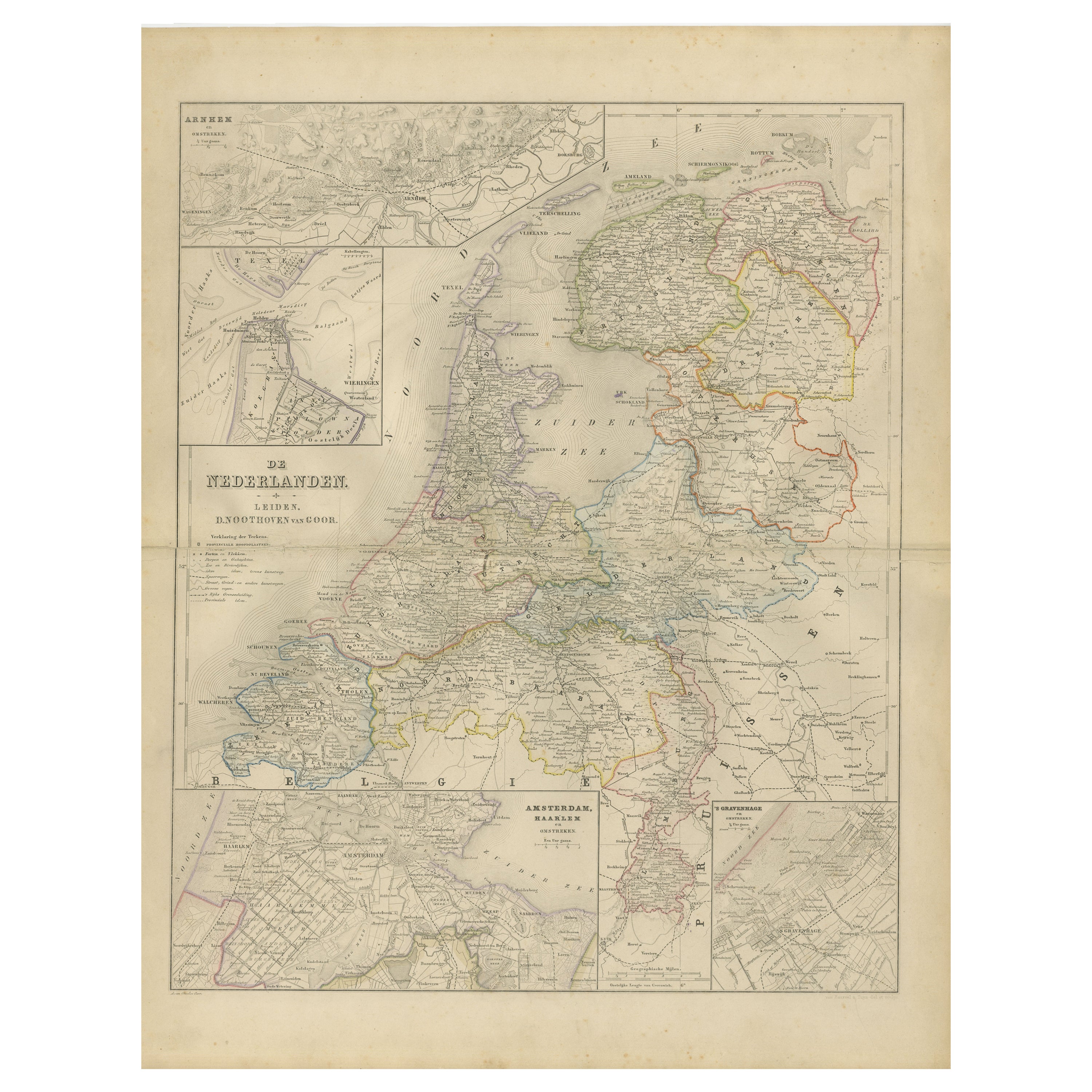
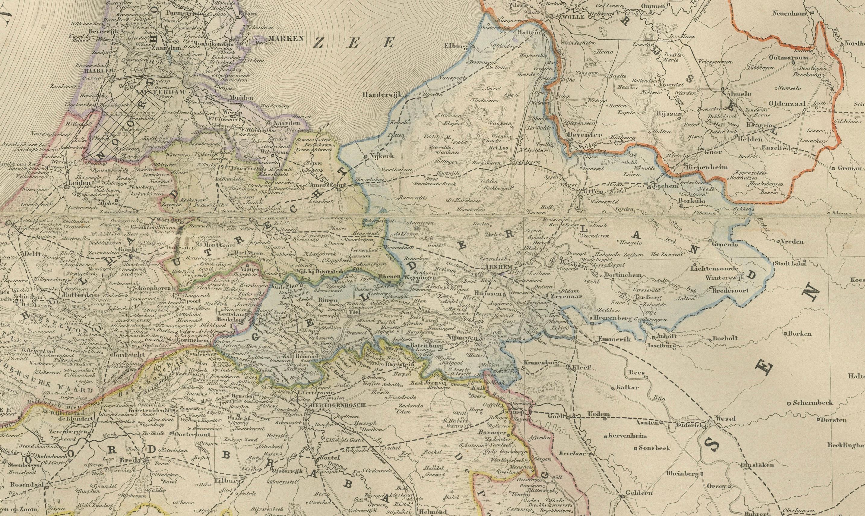
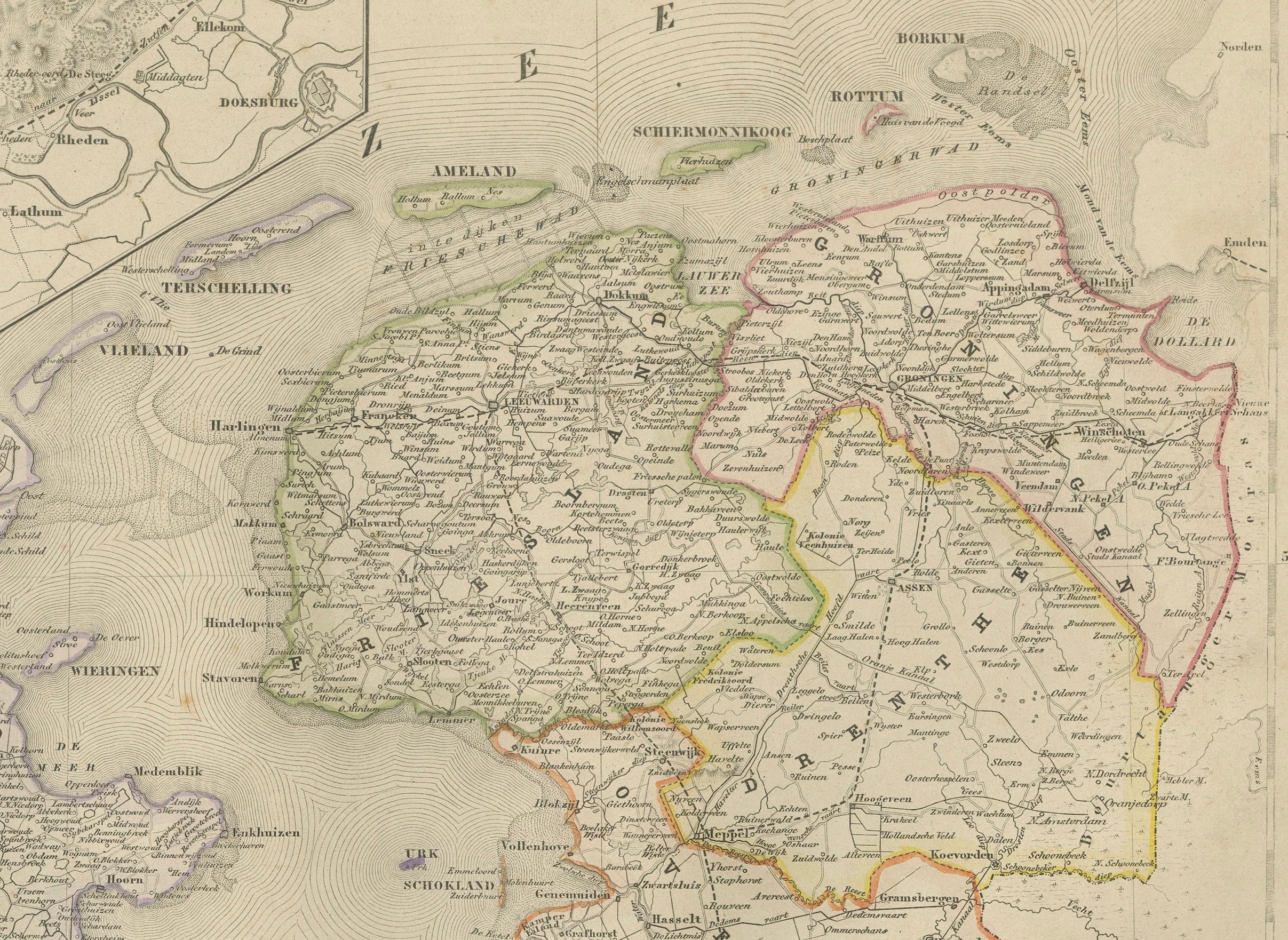
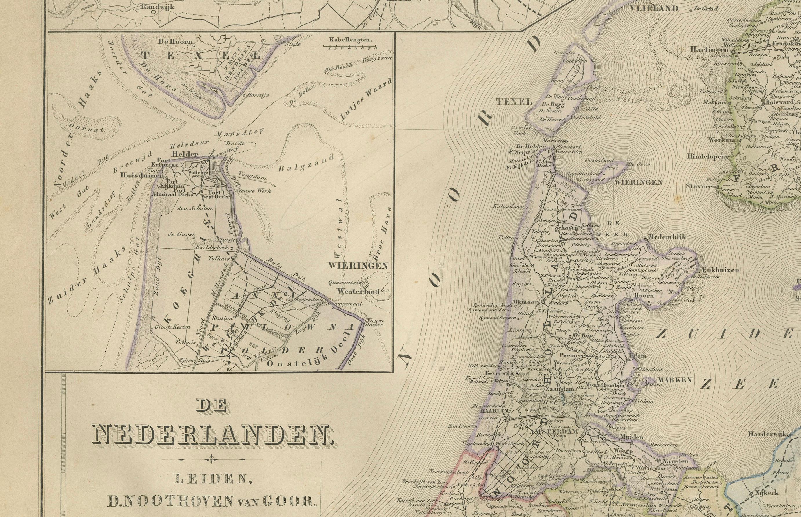
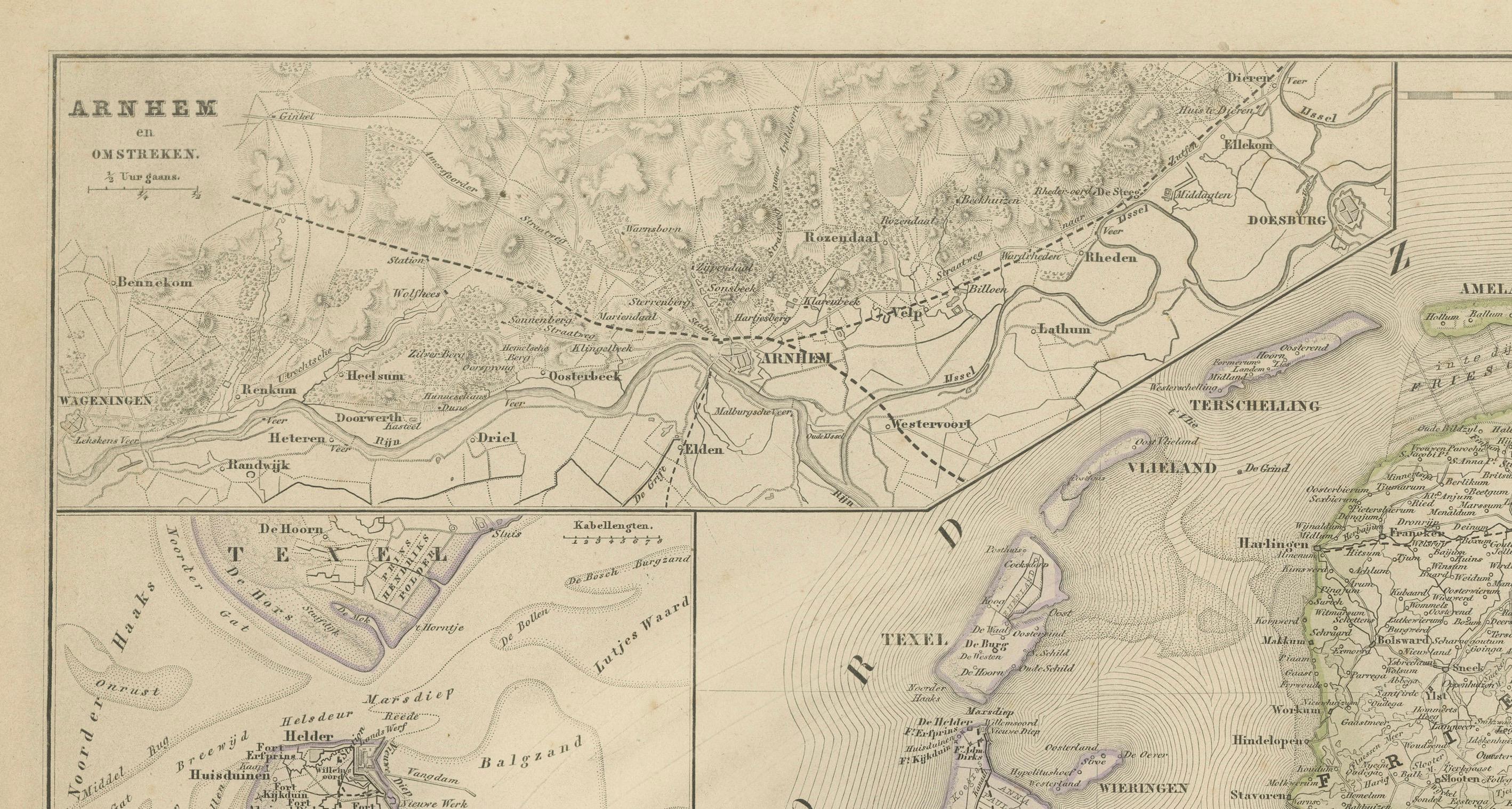
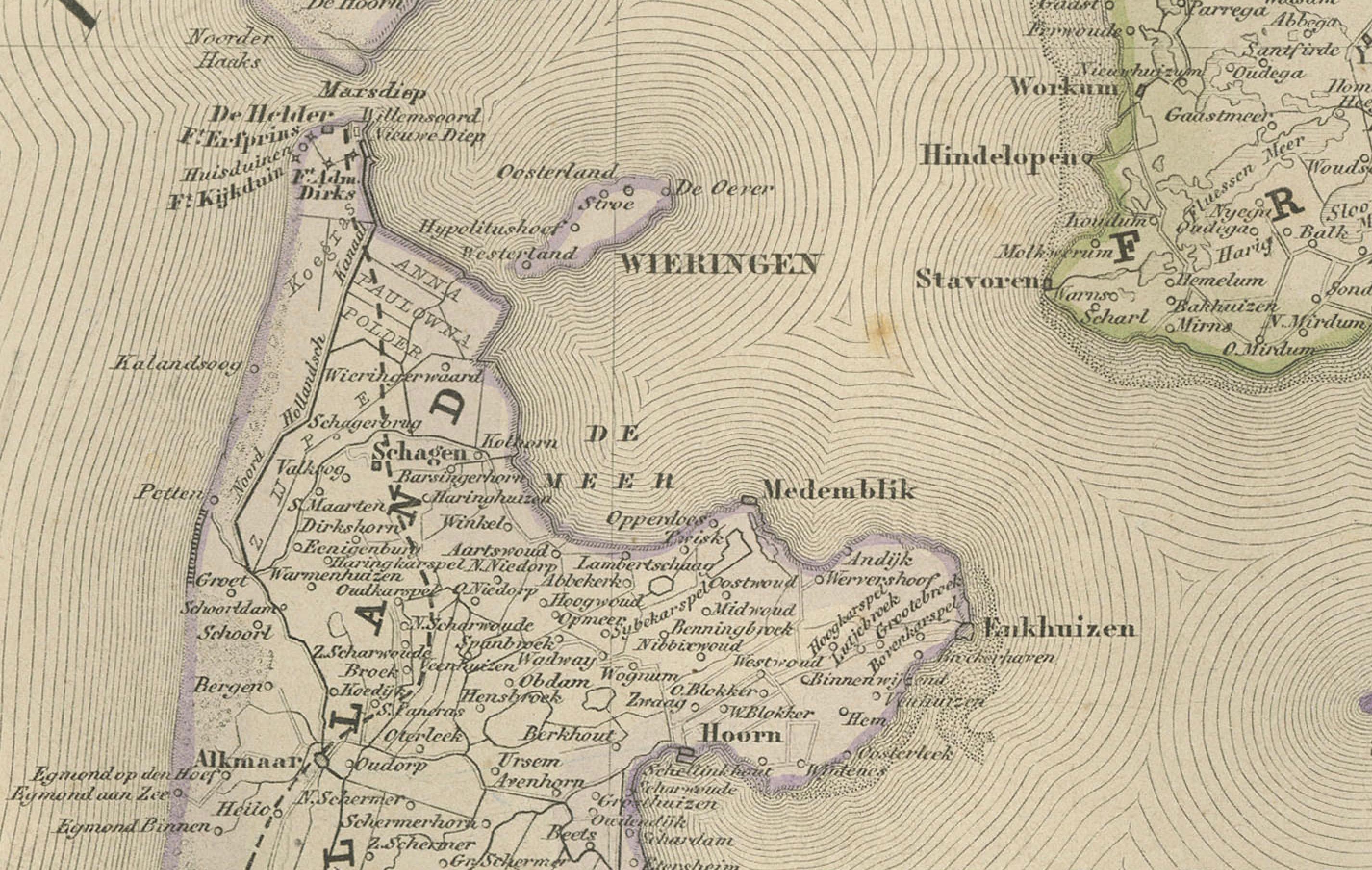
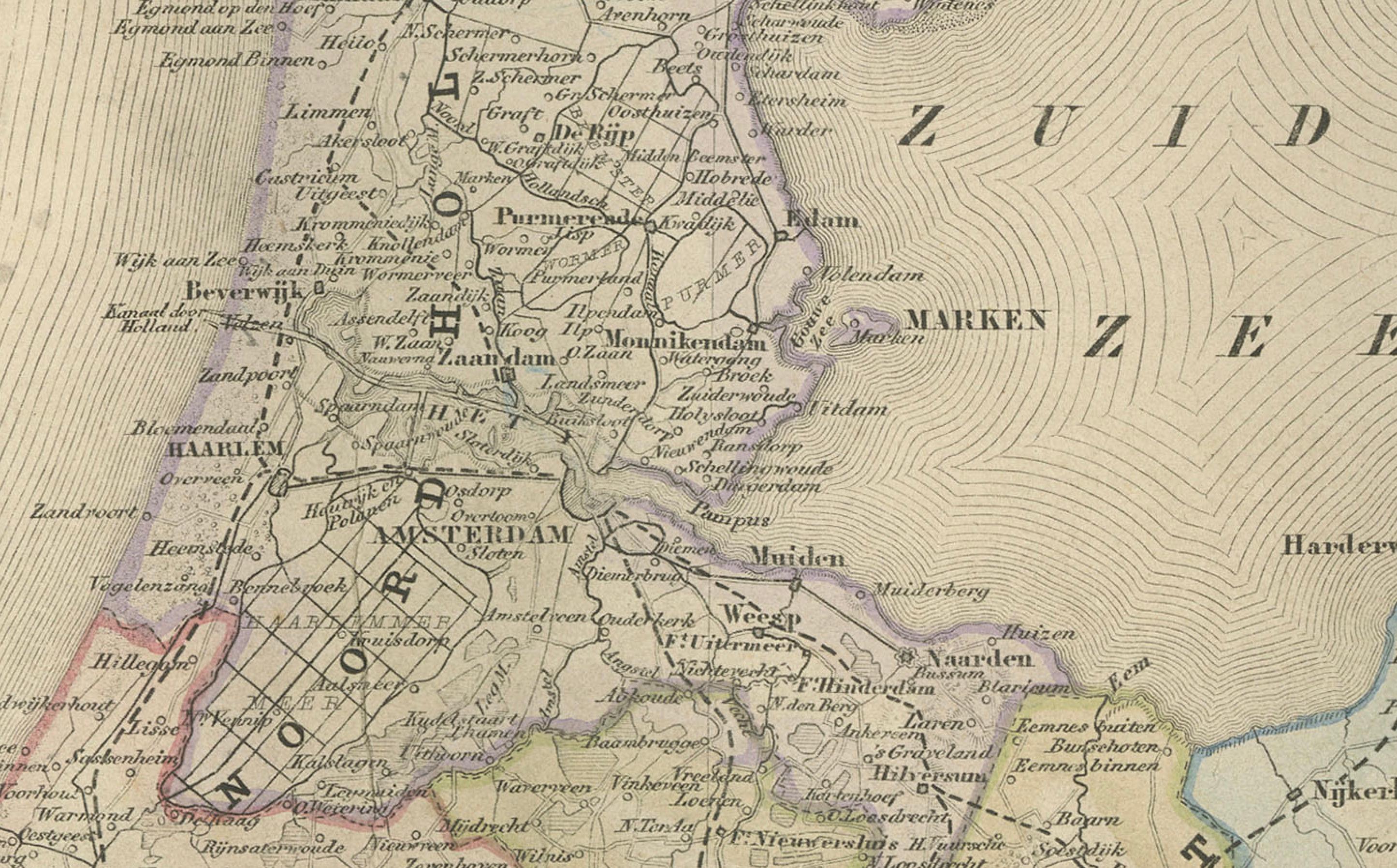
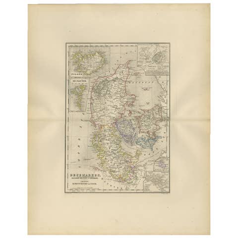
Map of the Netherlands with Insets of Amsterdam and Arnhem, Leiden 1876
€ 320
One of a kind: this is the sheet in the photographs. Ships from Langweer, the Netherlands.
Date
1876
Sheet size
55 × 44 cm (21.7 × 17.3 in)
Condition
Good
Reference
BG-12788-12
Condition
Good condition with light even toning and minor foxing around the outer margins. Original center fold as issued. The printed image is crisp, and the coloring remains fresh and even. No tears or repairs.
About this sheet
Map of the Netherlands with Insets of Amsterdam and Arnhem, Leiden 1876
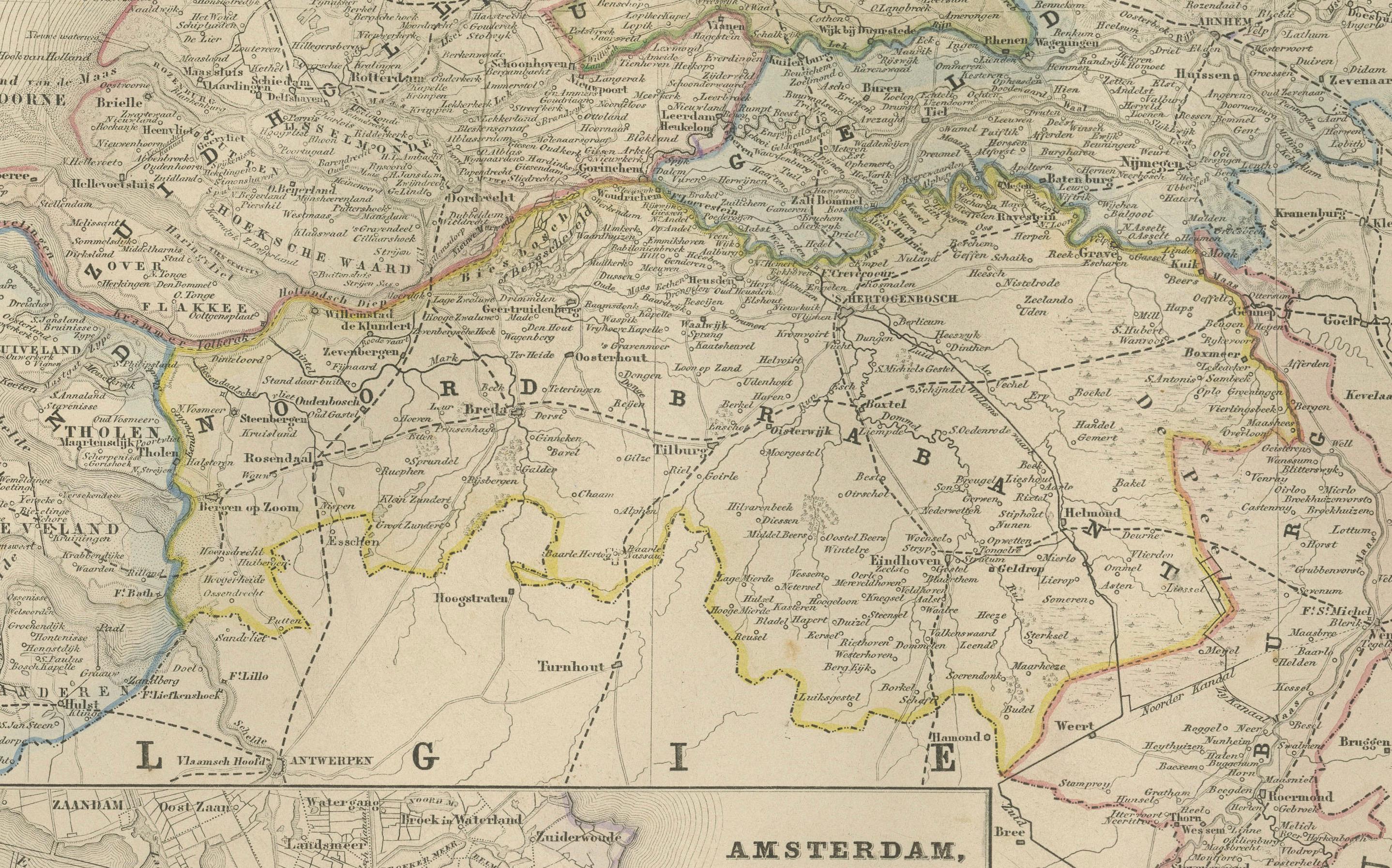
This detailed 19th-century Dutch map, titled “De Nederlanden,” was published in 1876 in the Nieuwe Hand-Atlas der Aarde in haren Tegenwoordigen Toestand* by M. Frijlink, revised by A. van Otterloo, and printed by D. Noothoven van Goor in Leiden. It presents a finely engraved overview of the Netherlands, capturing the country’s provinces, waterways, and cities in remarkable detail during the late 19th century, shortly after major national infrastructure developments and land reclamations.
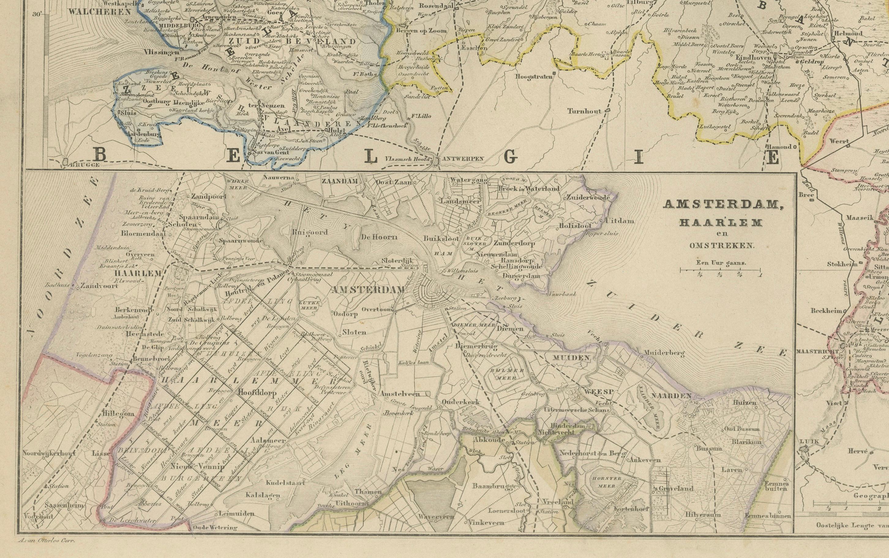
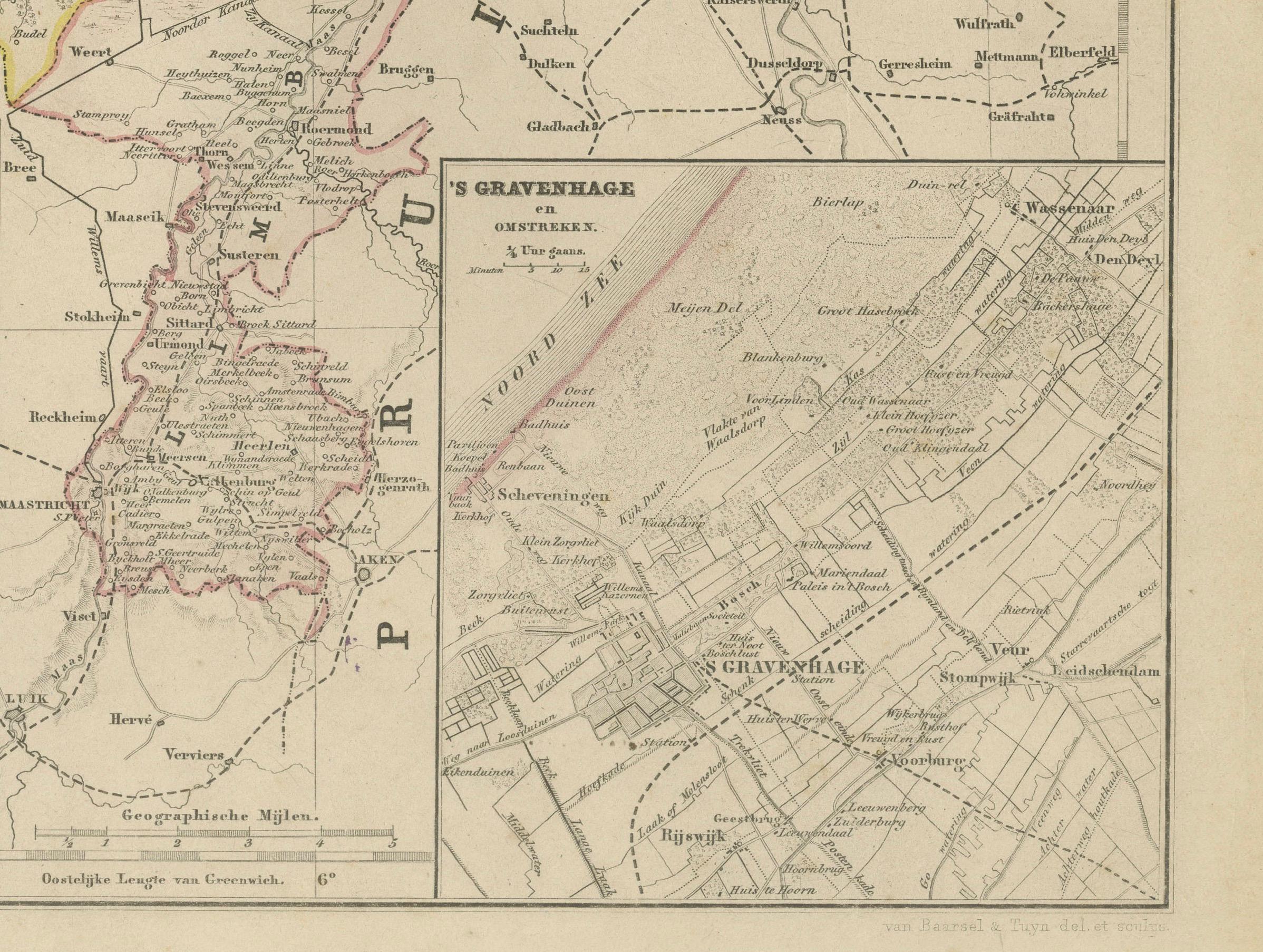
The provinces are outlined in distinct hand-colored borders—red, yellow, green, and blue—while rivers, canals, and railways are clearly indicated. Towns, villages, and key geographic features such as the Zuiderzee, the Rhine delta, and the Frisian islands are precisely labeled. Insets enrich the presentation with detailed maps of *Amsterdam en Haarlem*, *’s-Gravenhage (The Hague)*, and *Arnhem en Omstreken*, offering a close look at urban and regional layouts. The typography and layout reflect the elegant and systematic cartographic style typical of Dutch educational atlases of the 19th century.
This map formed part of Frijlink’s *Nieuwe Hand-Atlas*, a standard reference work used in schools and institutions throughout the Netherlands. Its combination of aesthetic clarity and geographic accuracy reflects the high standards of lithographic printing achieved by the Leiden publisher Noothoven van Goor.
Condition report: Good condition with light even toning and minor foxing around the outer margins. Original center fold as issued. The printed image is crisp, and the coloring remains fresh and even. No tears or repairs.
Framing tips: A soft ivory or light beige mat with a slim black or dark oak frame complements the detailed engraving and balanced composition. Ideal for display in a home office, library, or hallway, especially when paired with companion maps from the same atlas.
Technique: Lithograph with original hand-coloring Maker: M. Frijlink & A. van Otterloo, published by D. Noothoven van Goor, Leiden, 1876