About this sheet
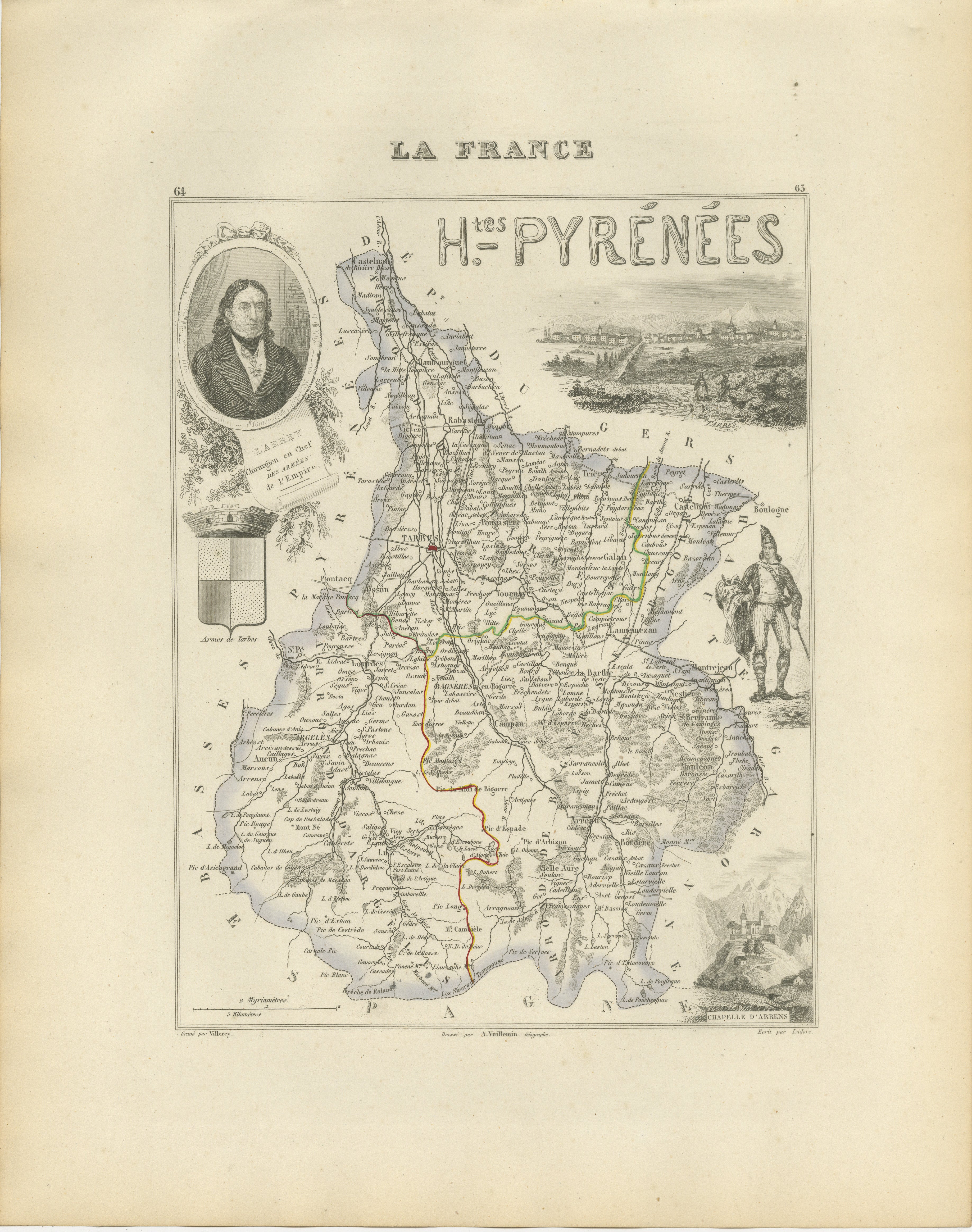
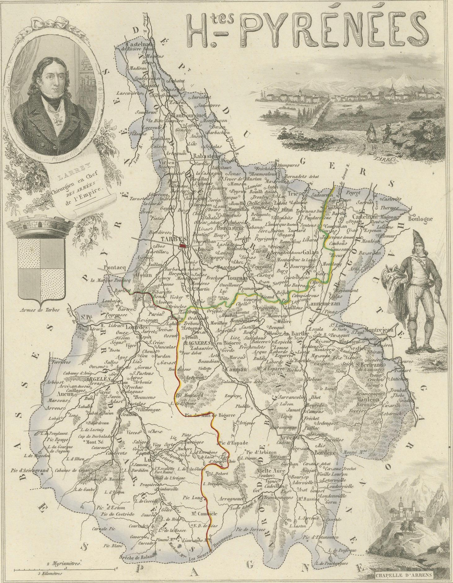
Original antique decorative map of the French department of Hautes-Pyrénées, published in Paris around 1850 by the distinguished cartographer Alexandre Vuillemin.
The map was issued as part of Vuillemin’s acclaimed atlas La France Illustrée, celebrated for combining detailed regional cartography with historical portraits, heraldry, traditional costumes and picturesque landscape views.
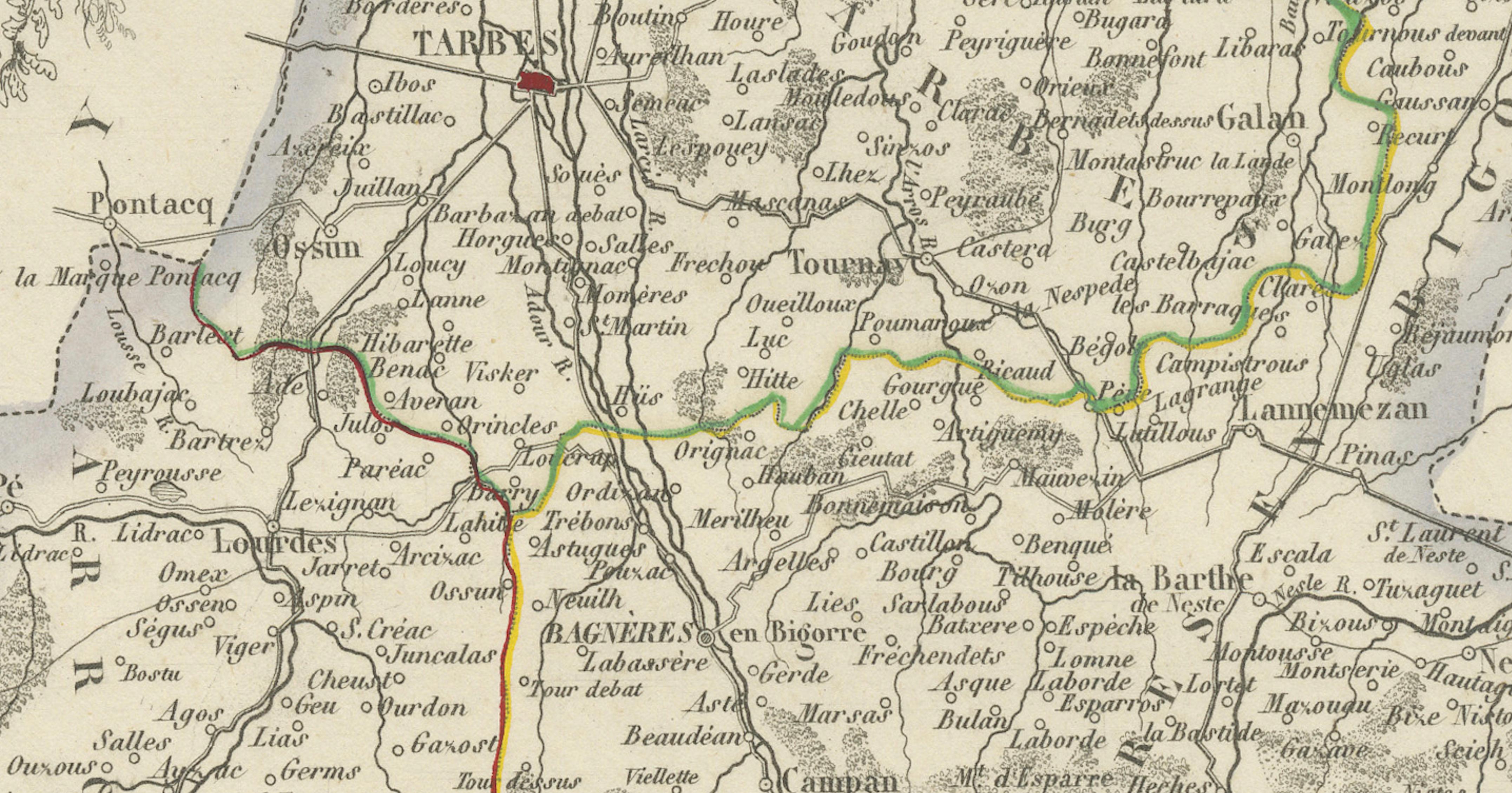
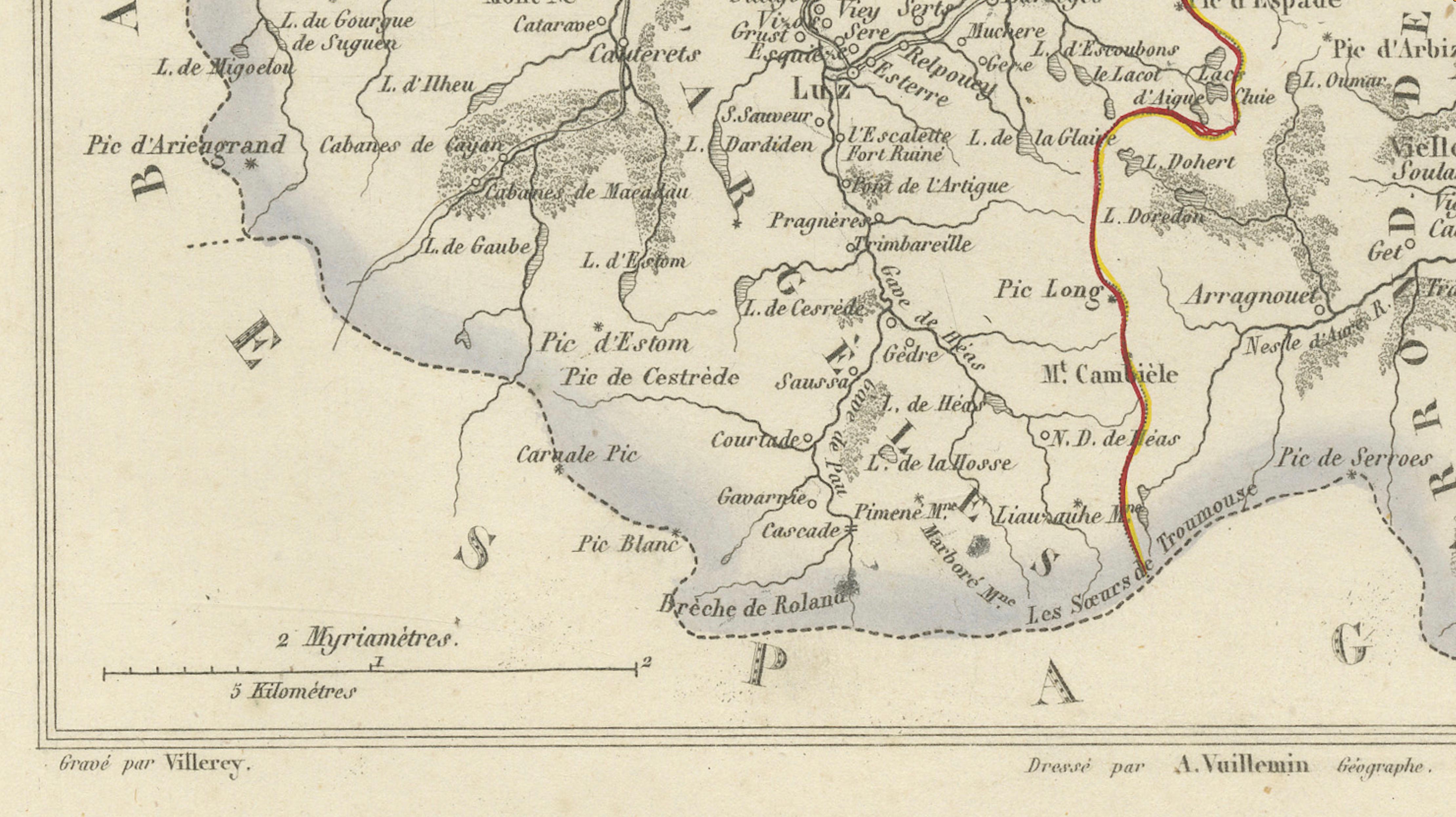
Numbered 64, the map depicts the department’s towns, villages, roads, rivers and administrative divisions. Selected boundaries and principal routes are enhanced with original hand colouring.
Prominent places shown include Tarbes, Lourdes, Bagnères-de-Bigorre, Argelès-Gazost, Cauterets, Luz-Saint-Sauveur, Barèges, Gavarnie, Saint-Lary, Campan, Trie-sur-Baïse, Lannemezan, Maubourguet, Vic-en-Bigorre, Rabastens-de-Bigorre, Pierrefitte-Nestalas and numerous smaller communities.
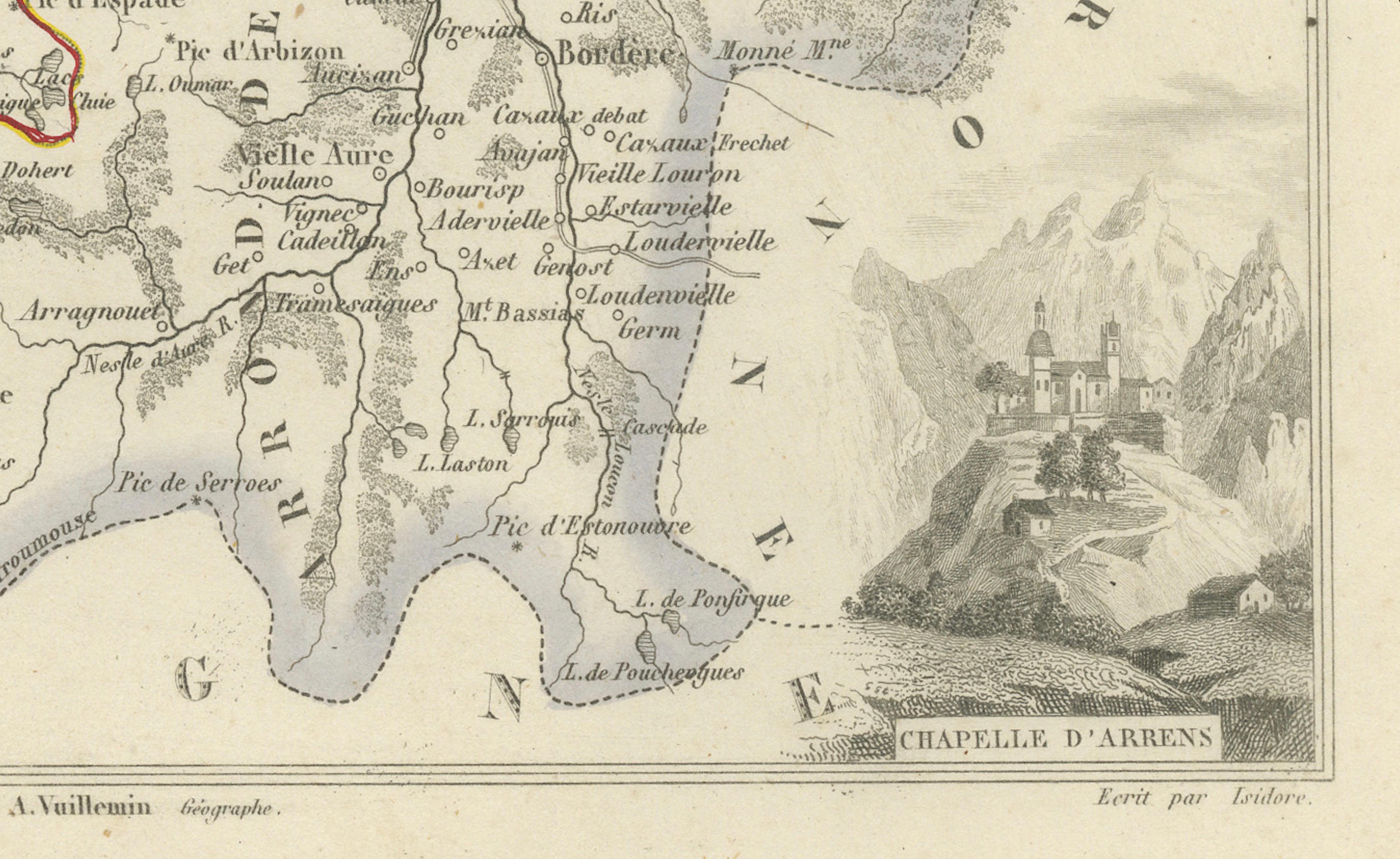
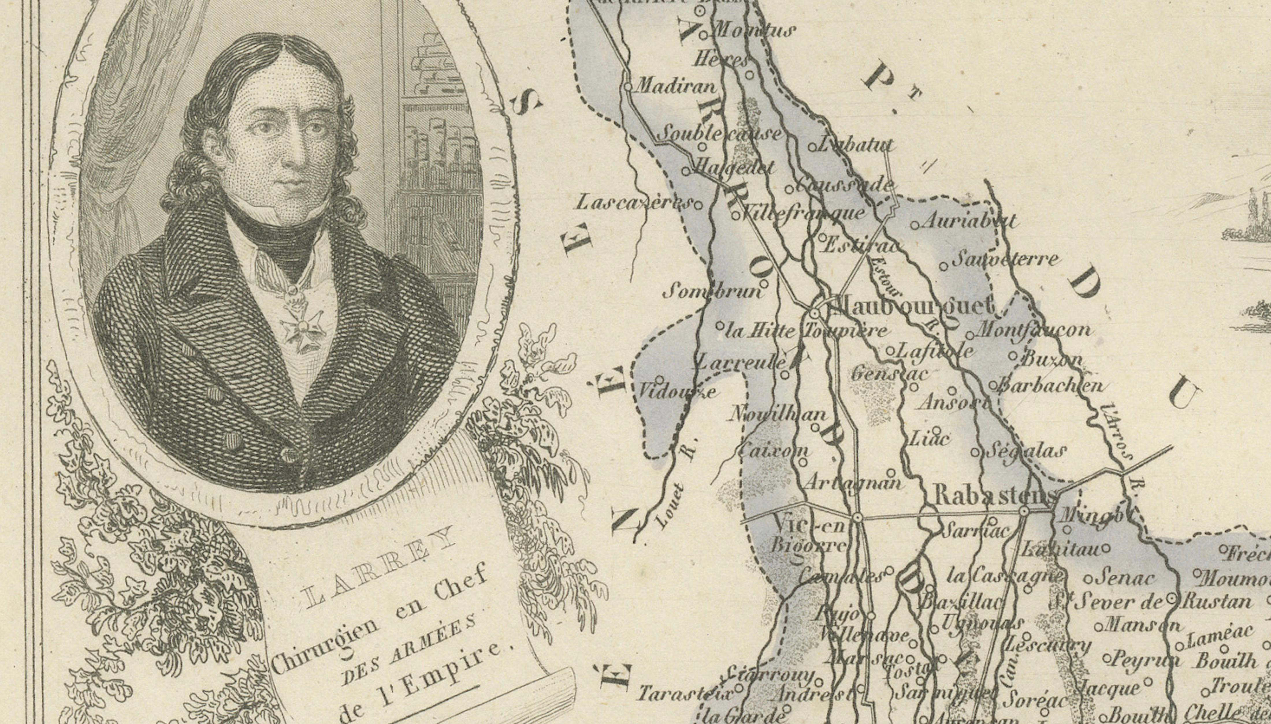
The decorative composition includes a portrait of Baron Dominique Jean Larrey, the celebrated military surgeon who served with Napoleon’s armies. Further embellishments include the historic arms of Tarbes, a panoramic view of Tarbes, a traditional Pyrenean figure and an engraved view titled Chapelle d’Arrens.
Hautes-Pyrénées is renowned for the pilgrimage town of Lourdes, the Cirque de Gavarnie, the Pic du Midi de Bigorre and its dramatic mountain scenery. Historic spa towns such as Cauterets, Barèges and Bagnères-de-Bigorre have attracted visitors for generations.
The region is also associated with Madiran wine, Pacherenc du Vic-Bilh, Porc Noir de Bigorre, Haricot Tarbais, Tomme des Pyrénées and the traditional dishes garbure and gâteau à la broche.
An attractive historical map for collectors of French cartography, Pyrenean landscapes, Napoleonic history, pilgrimage destinations and nineteenth-century decorative engravings.
This is an original antique engraving and not a modern reproduction. It is offered unframed. Any framed images are shown for presentation and interior inspiration only.
Technique: Engraving with original hand colouring
Maker: Alexandre Vuillemin
Place of Publication: Paris, France
Date: Circa 1850
Source: La France Illustrée
Department: Hautes-Pyrénées, plate number 64
Region: Historic Bigorre, Occitanie, southwestern France
Condition:
Good antique condition with general age-related toning, scattered foxing, light creasing and minor handling marks. Small stains and marginal wear are visible in places. The original hand-coloured boundaries remain attractive and clearly visible. Wear is consistent with age and use. Please examine the images carefully, as they form an important part of the condition description.
Keywords:
Alexandre Vuillemin, antique Hautes-Pyrénées map, Hautes Pyrenees France map, antique Pyrenees map, French Pyrenees map, Bigorre map, Occitanie map, Tarbes antique map, Tarbes France, Lourdes antique map, Lourdes pilgrimage, Sanctuary of Lourdes, Our Lady of Lourdes, Bagnères-de-Bigorre map, Bagneres de Bigorre spa, Argelès-Gazost, Cauterets map, Cauterets spa, Luz-Saint-Sauveur, Barèges map, Gavarnie map, Cirque de Gavarnie, Gavarnie-Gèdre, Saint-Lary-Soulan, Campan France, Trie-sur-Baïse, Lannemezan map, Maubourguet map, Vic-en-Bigorre, Rabastens-de-Bigorre, Pierrefitte-Nestalas, Pic du Midi, Pic du Midi de Bigorre, Col du Tourmalet, Tourmalet cycling, Tour de France Pyrenees, Pyrenees National Park, Pont d’Espagne, Lac de Gaube, Néouvielle Nature Reserve, Pyrenean mountains, French ski resort, mountain chalet decor, Dominique Jean Larrey, Baron Larrey, Napoleonic surgeon, Napoleon military history, arms of Tarbes, view of Tarbes, Chapelle d’Arrens, La France Illustrée, decorative French map, French departmental map, nineteenth-century cartography, antique French engraving, original hand colouring, Madiran wine, Pacherenc du Vic-Bilh, Tannat wine, Porc Noir de Bigorre, Haricot Tarbais, Tomme des Pyrénées, Barèges-Gavarnie lamb, garbure, gâteau à la broche, French regional food, pilgrimage wall art, mountain house decor, ski chalet wall art, Francophile gift, library decor, office wall art, collector’s map, original antique map