About this sheet
Here is a catalogue entry in your preferred format for the Scotland map you uploaded:
---
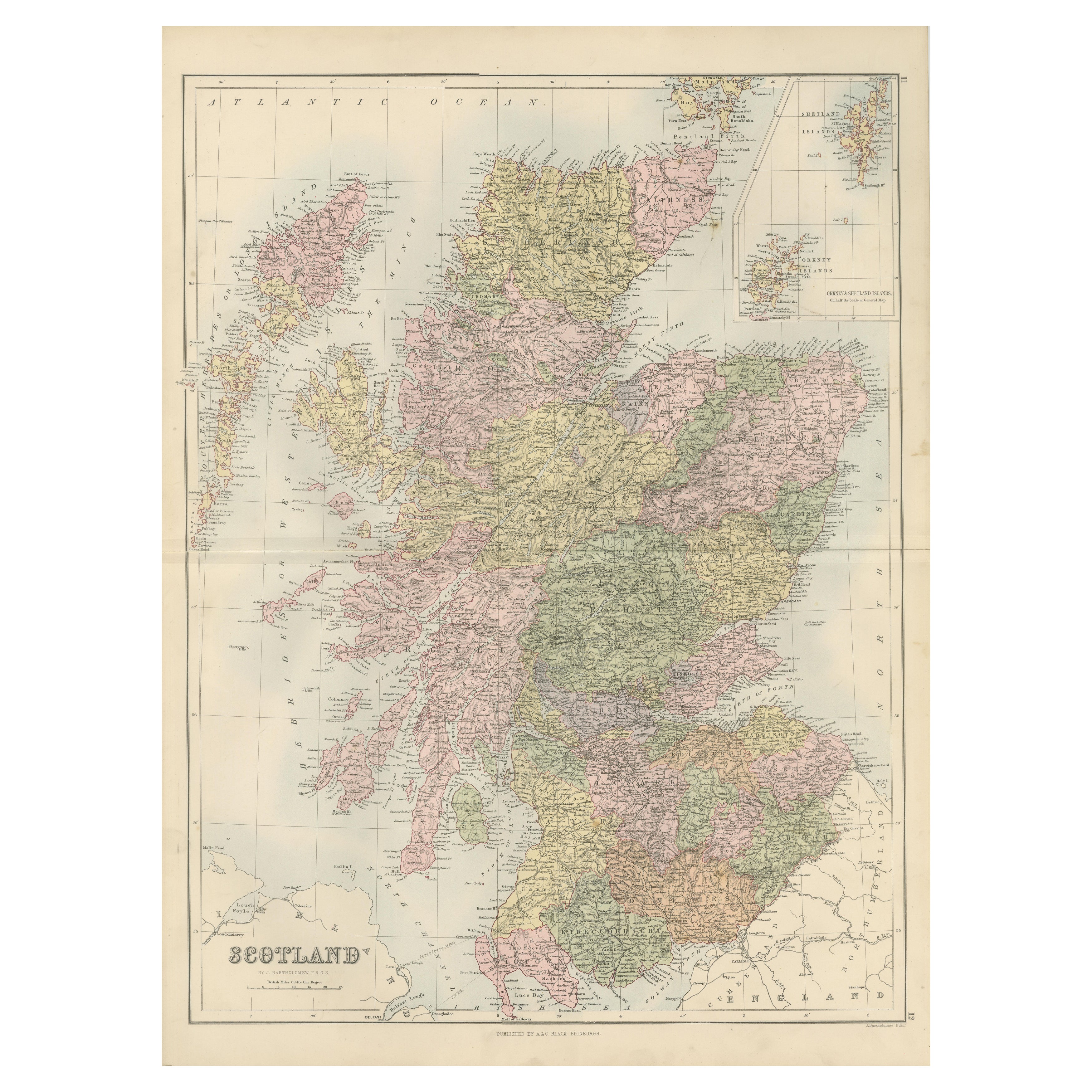
Title: Antique Map of Scotland with Counties and Islands – Black’s Atlas, 1884
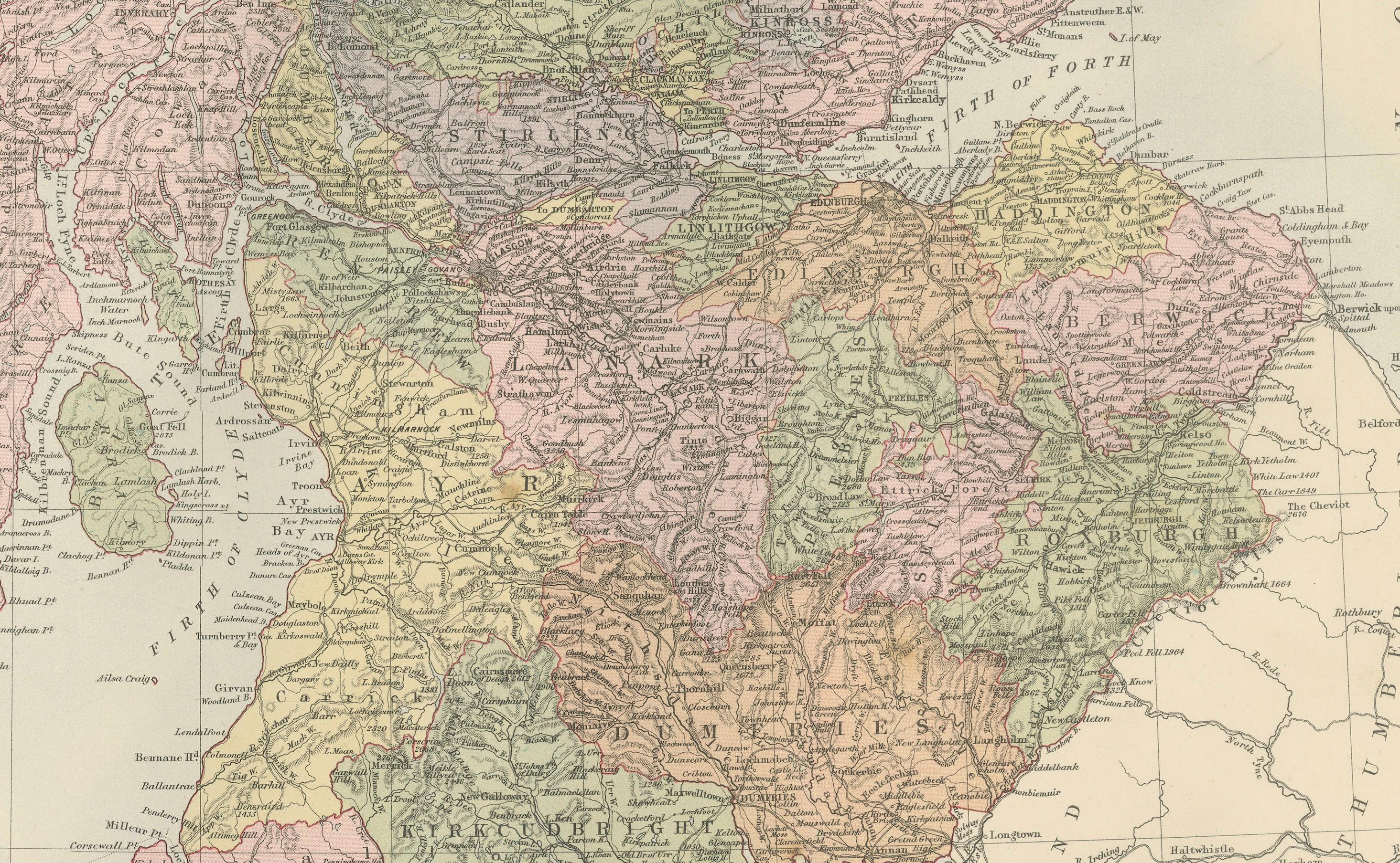
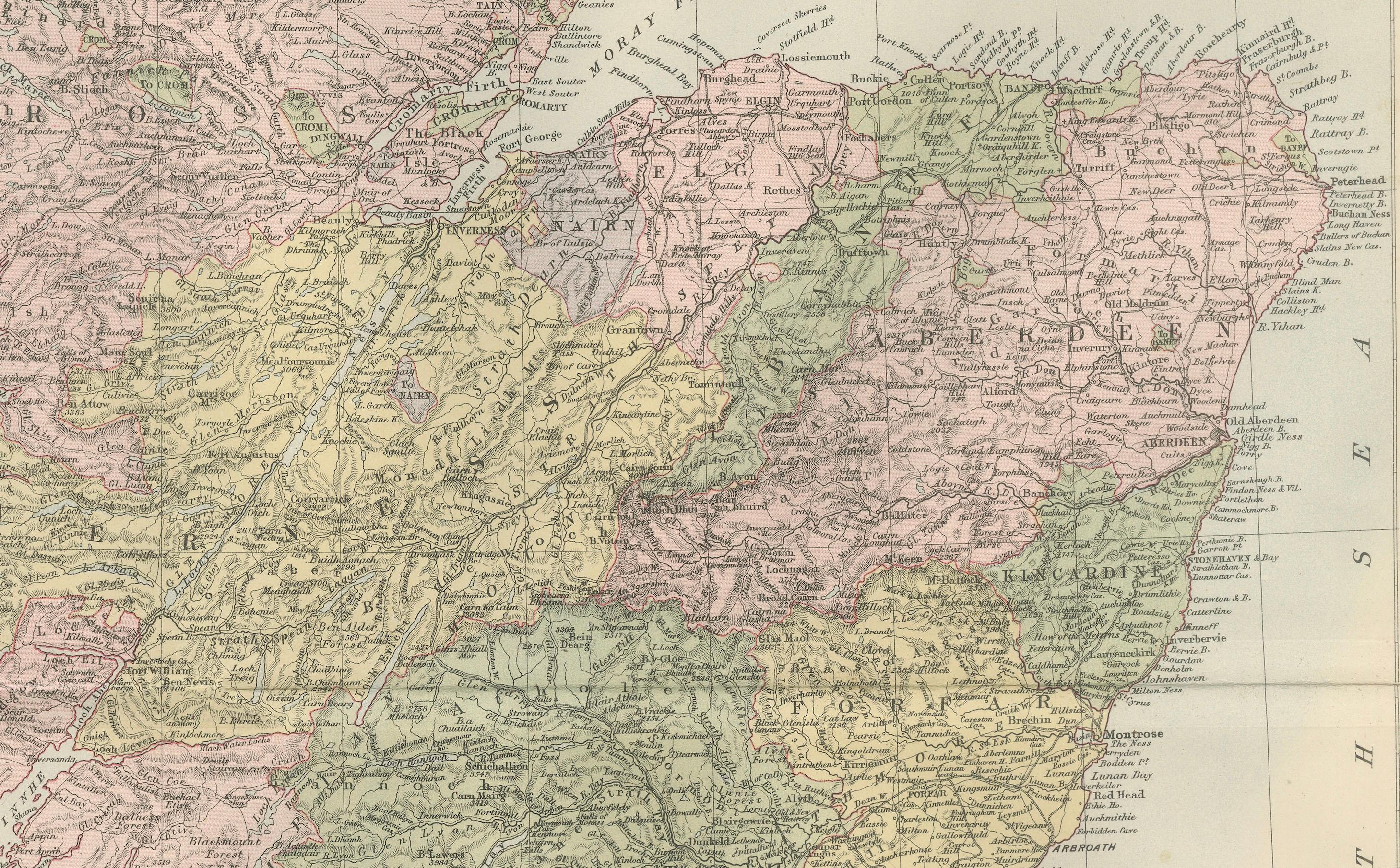
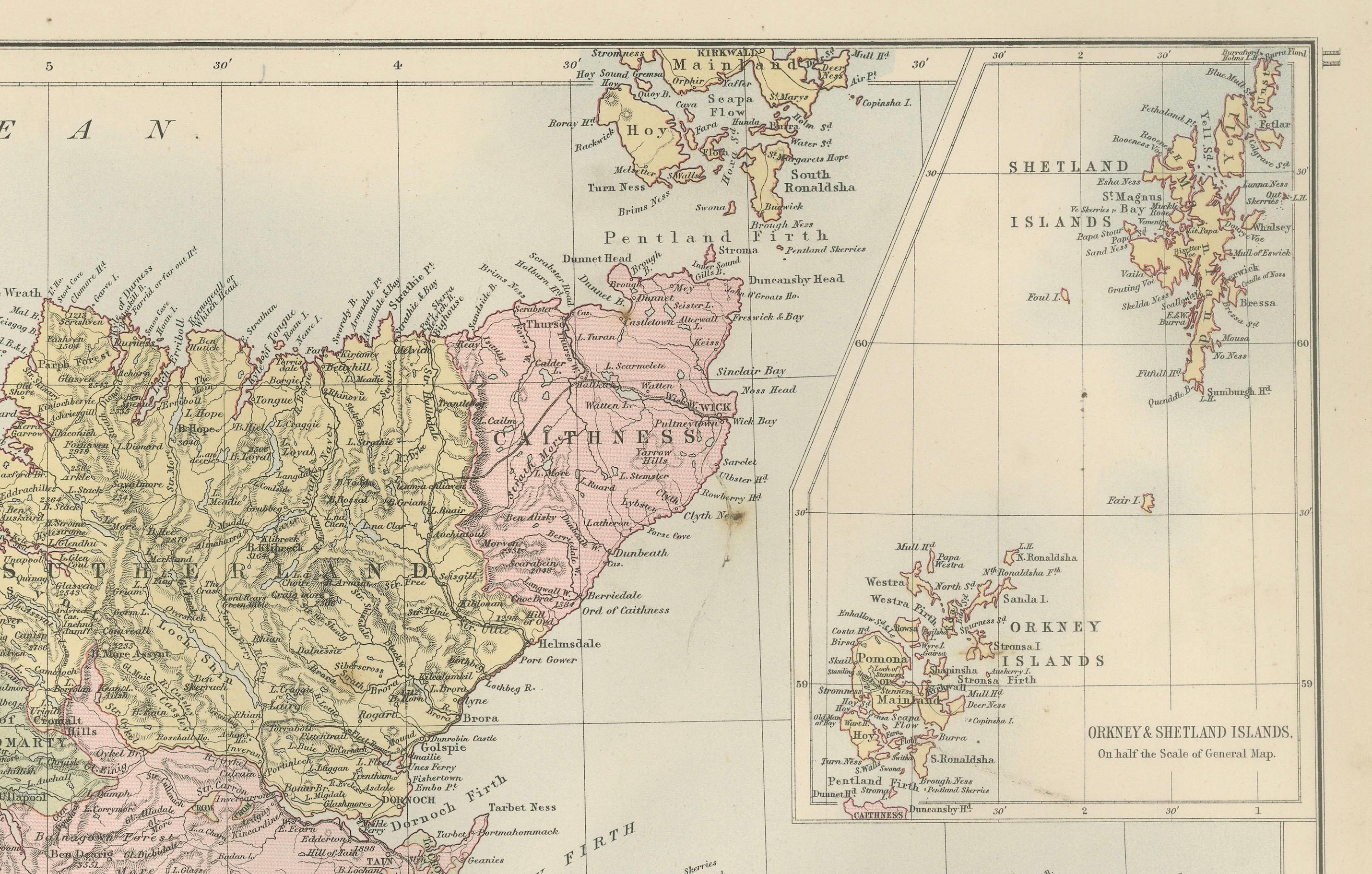
This finely engraved and hand-colored map of Scotland was published in the New and Revised Edition of Black’s General Atlas of the World, Edinburgh, 1884. It presents Scotland in remarkable detail, with its counties carefully outlined in contrasting colors and a wealth of geographical and topographical information.
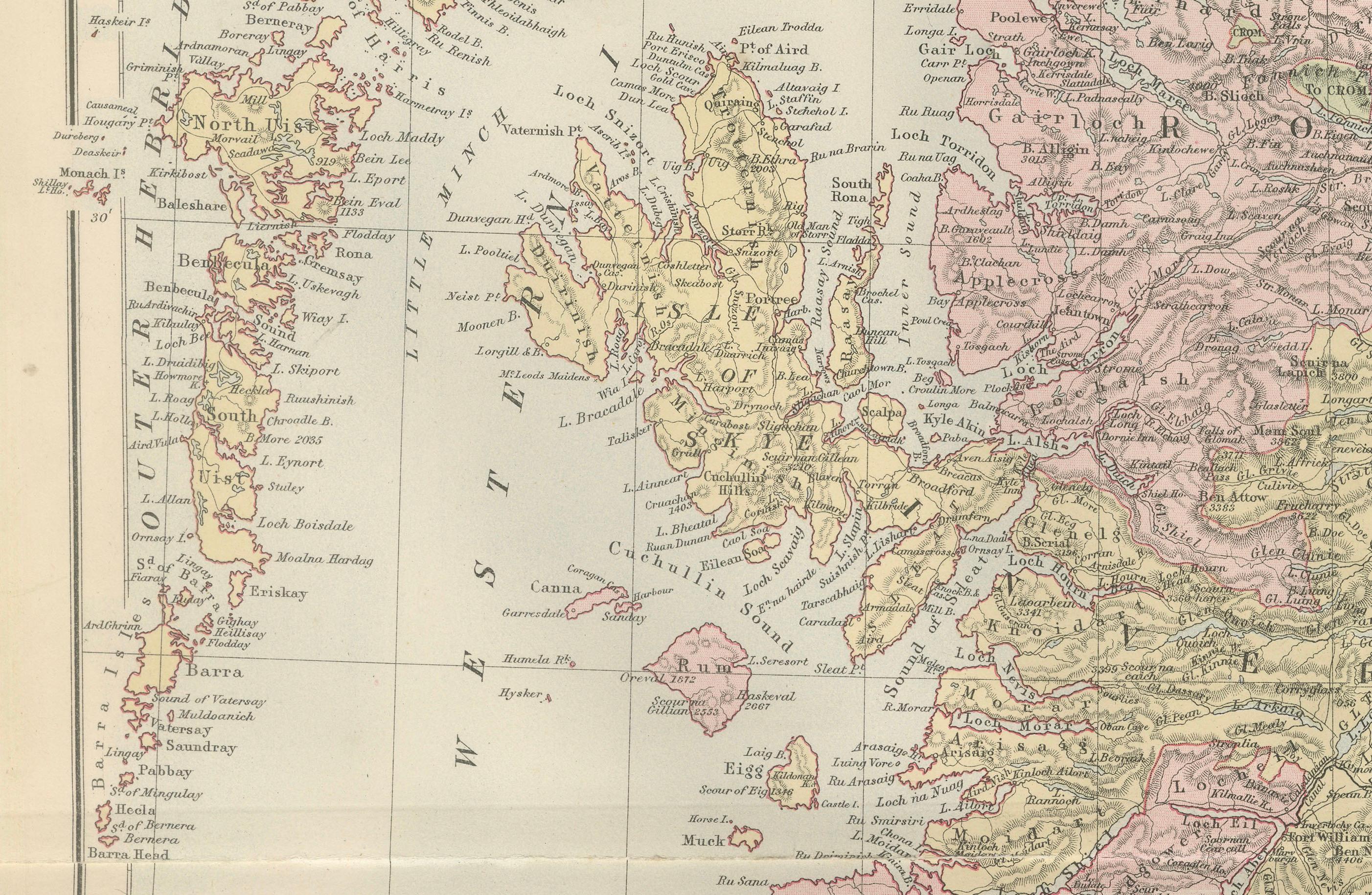
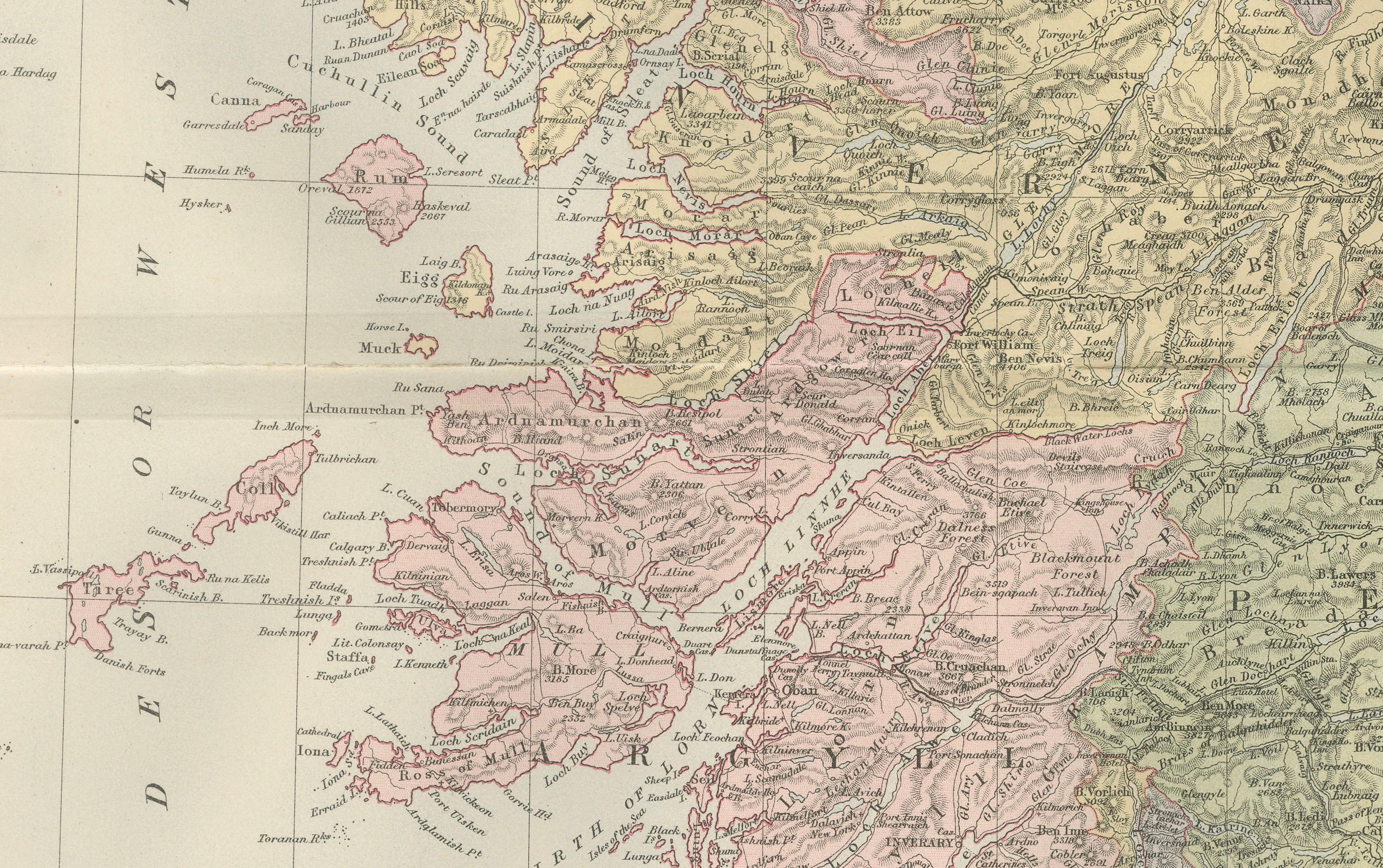
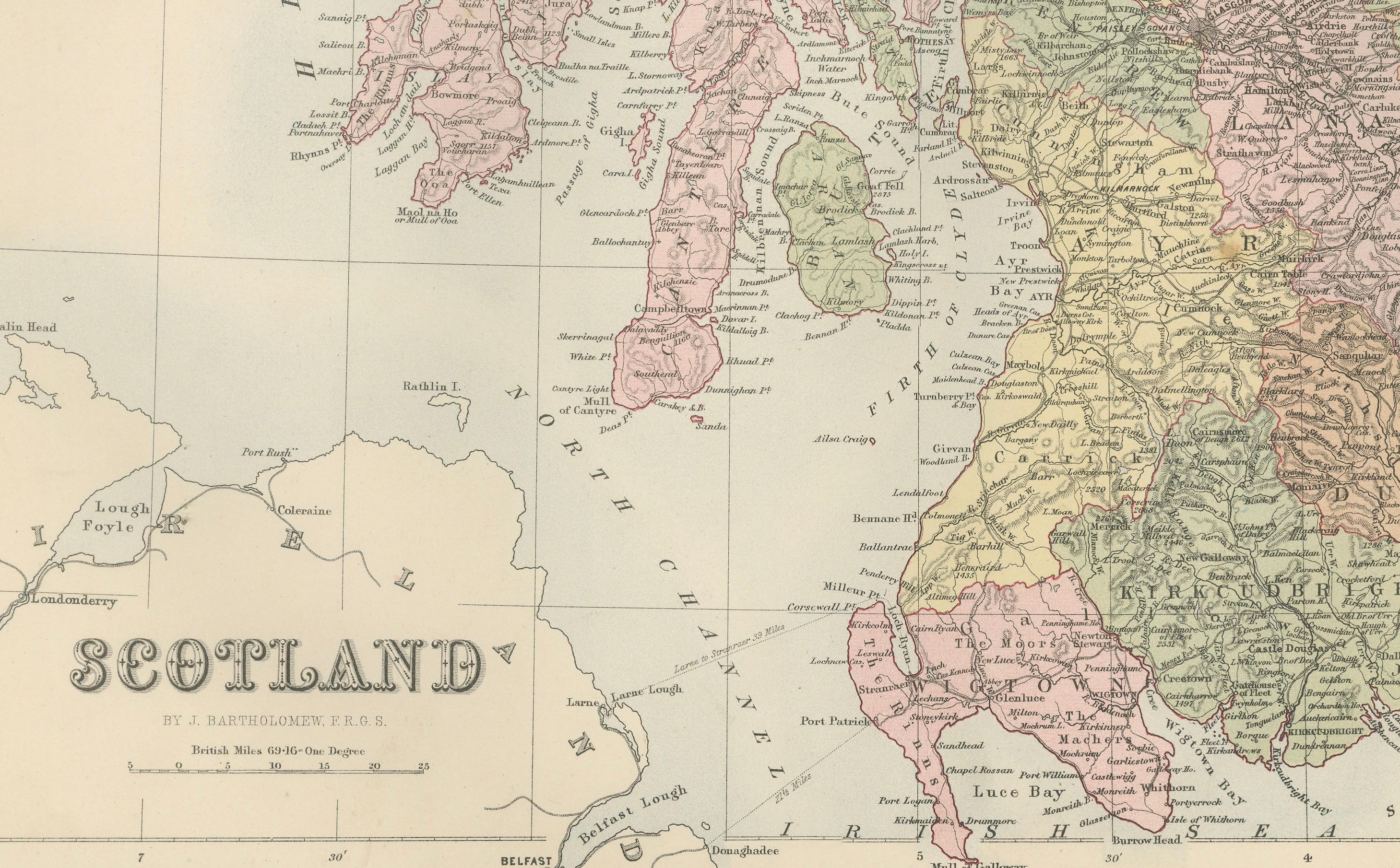
The map covers the entirety of mainland Scotland along with its numerous islands. To the west, the Hebrides are depicted, while the inset in the upper right shows the Orkney and Shetland Islands in greater detail. Each county is shaded separately, clearly distinguishing political divisions of the late 19th century. Major towns, villages, roads, rivers, and mountain ranges are all precisely engraved. Coastal features, including firths, lochs, and islands, are meticulously labeled, reflecting Scotland’s strong connection to the sea.
This map is not only a geographic record but also a cultural and historical artifact, produced at a time when Scotland was experiencing industrial growth while retaining its distinct regional identities. The careful coloring and fine engraving highlight the craftsmanship typical of Black’s atlas productions, which were regarded among the most detailed and accurate of their time.
Collectors will appreciate this piece for its historical insight, decorative appeal, and its representation of Scotland’s landscape and political divisions before major 20th-century changes.
Condition report:
Very good condition. Original hand coloring remains clear and vibrant. Center fold as issued. Minor toning and light age patina to margins. No tears or major blemishes.
Framing tips:
This map is especially attractive when displayed in an archival mat of soft ivory or light cream to highlight the pastel county colors. A dark oak or walnut frame provides warmth, while a gilt frame enhances its Victorian character. UV-protective glass is recommended to preserve its freshness.
Technique: Engraving with original hand coloring
Maker: Black’s General Atlas, Edinburgh, 1884