About this sheet
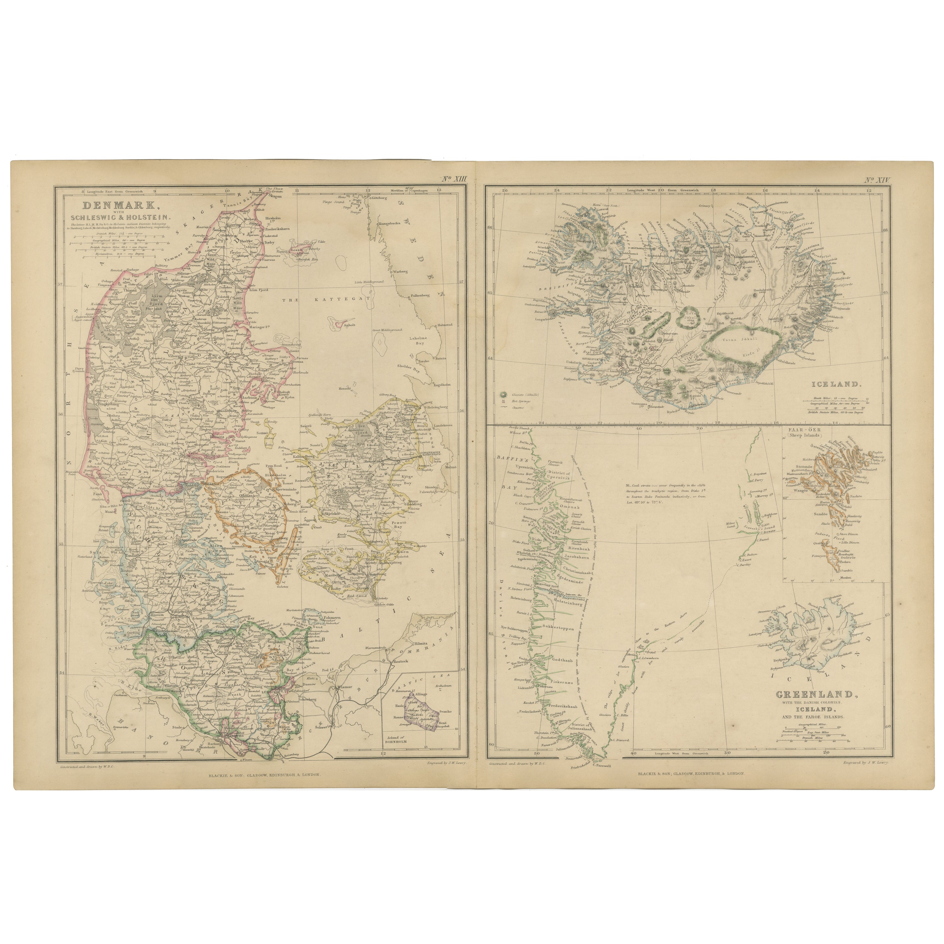
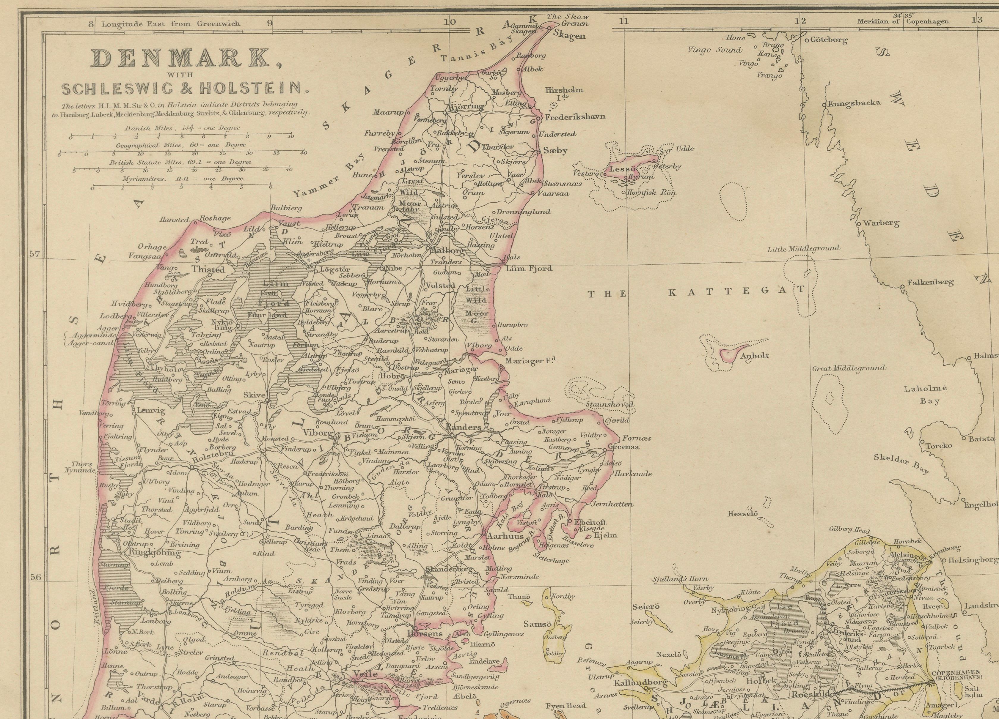
Denmark with Schleswig & Holstein, Iceland, Greenland, Antique Map, Blackie 1860
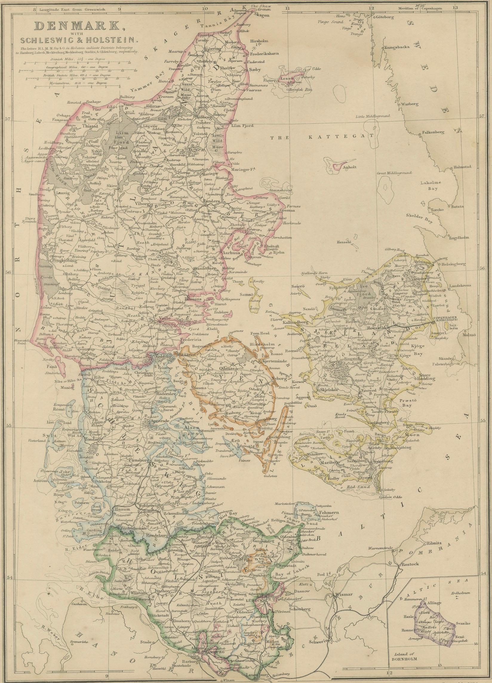
This original antique map presents a detailed mid-19th-century British cartographic view of Denmark with Schleswig and Holstein, accompanied by separate panels showing Iceland, Greenland, and the Faroe Islands. The map originates from The Imperial Atlas of Modern Geography* and was published in 1860 by W. G. Blackie, one of the leading British atlas publishers of the Victorian period.
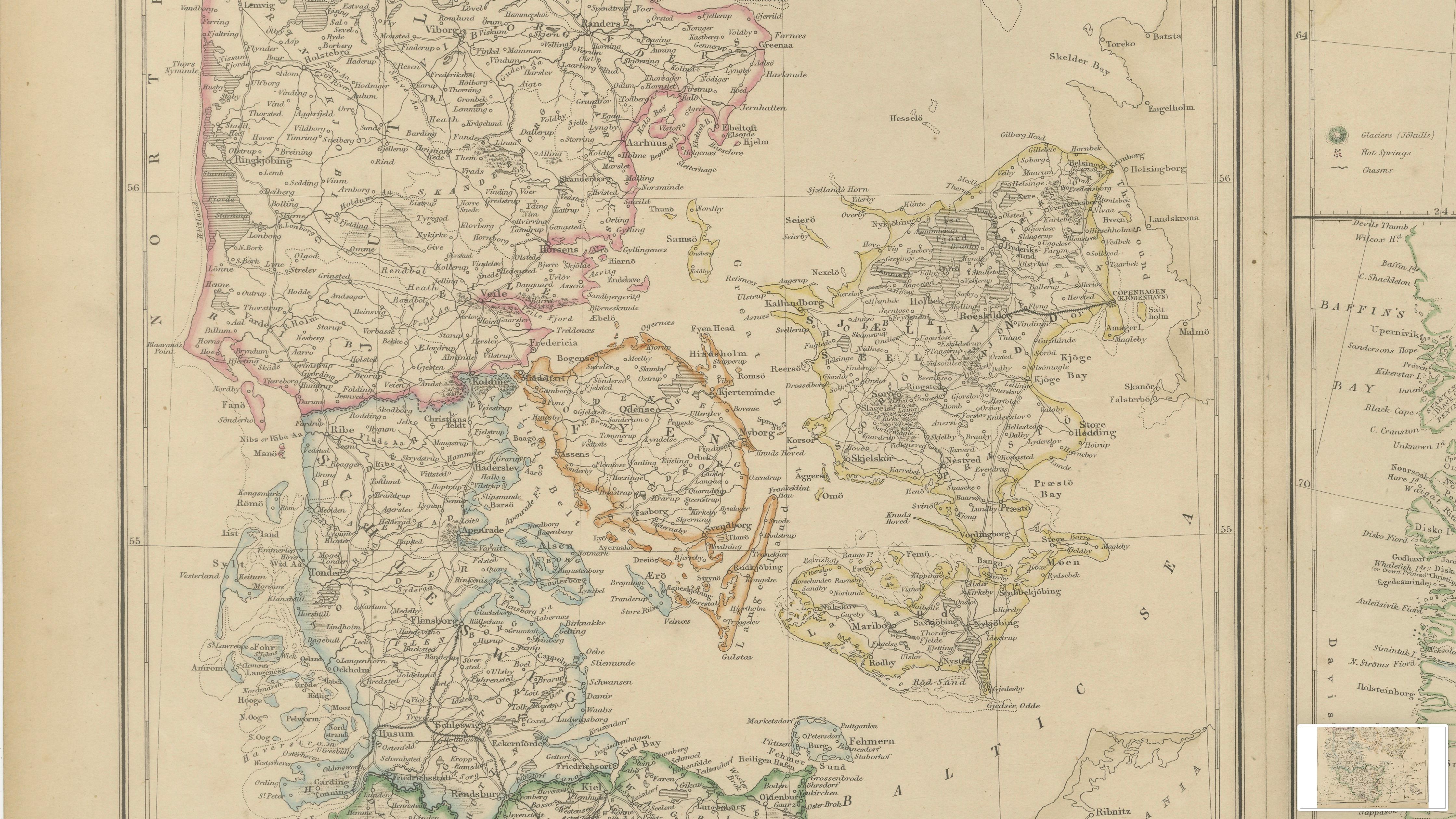
The main panel focuses on Denmark and the politically sensitive regions of Schleswig and Holstein, whose status was a major European issue in the mid-19th century. Provincial boundaries are clearly defined with original hand coloring, while dense engraved detail records towns, road networks, waterways, and coastal features. The Danish islands, including Zealand, Funen, and surrounding archipelagos, are carefully rendered, emphasizing Denmark’s maritime character and strategic position between the North Sea and the Baltic.
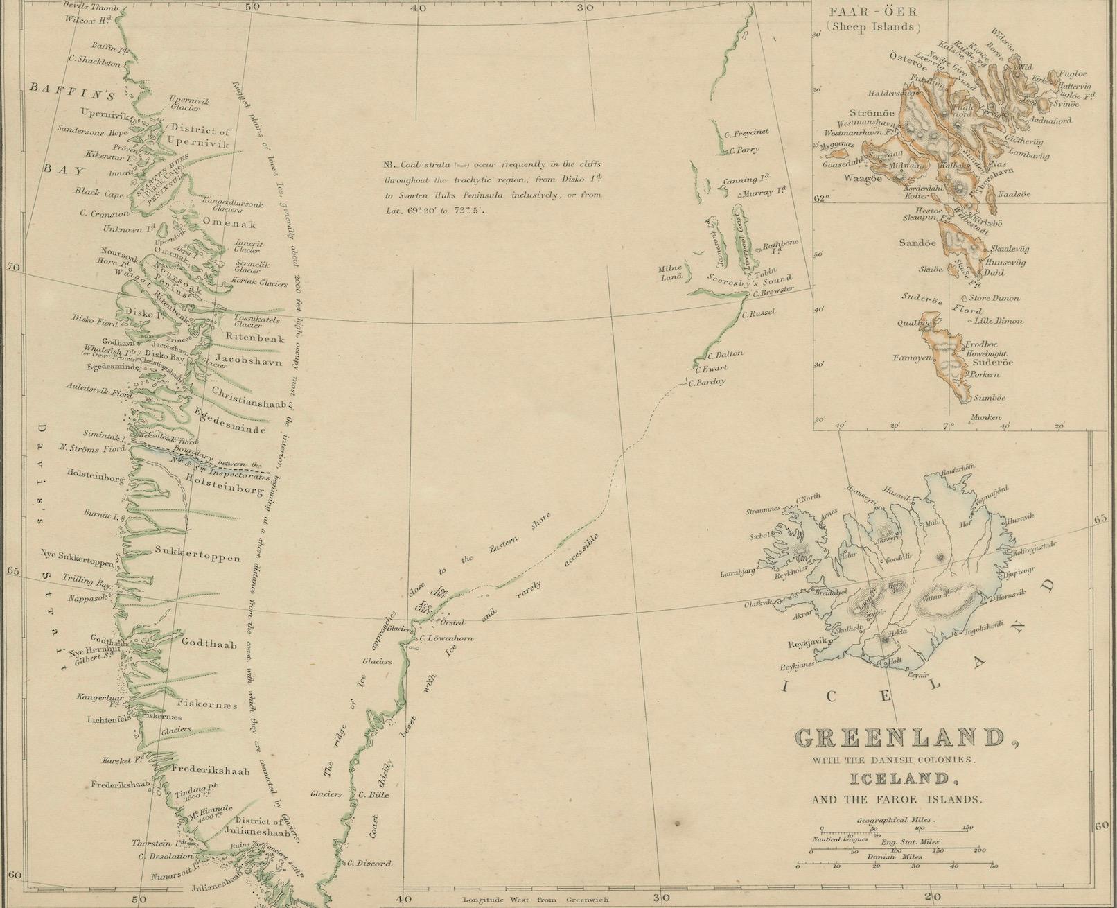
The additional panels extend the geographic scope northward. Iceland is shown with its rugged volcanic terrain, glaciers, rivers, and coastal settlements, reflecting contemporary European knowledge of the island’s dramatic landscape. Greenland is depicted along its inhabited western coastline, with fjords, settlements, and exploratory routes clearly marked, while the Faroe Islands appear as a distinct North Atlantic group, reinforcing Denmark’s historical connections across the region.
Together, these maps illustrate Denmark’s geographic reach from continental Europe into the North Atlantic world. The refined engraving, restrained original coloring, and multi-panel composition give the sheet both strong historical significance and decorative appeal. It is equally suitable for collectors of Scandinavian, Nordic, and Arctic cartography and for interior designers seeking a scholarly yet visually balanced wall map.
Condition report:
Good antique condition. Light overall age toning consistent with age. Minor scattered foxing and light handling marks, mainly visible in the margins. Original central folds as issued. No major tears or losses.
Framing tips:
A wide ivory or warm cream mat will complement the fine engraving and subtle hand coloring. A dark walnut, black, or understated antique gilt frame works well and enhances the map’s academic and exploratory character. Museum or UV-protective glass is recommended.
Technique: Copper engraving with original hand coloring
Maker: W. G. Blackie, Scotland, 1860
Keywords:
Denmark map, Schleswig map, Holstein map, Danish cartography, Scandinavia map, Nordic countries map, Copenhagen, Zealand, Funen, Jutland, Danish islands, Baltic Sea, North Sea, political Europe 19th century, Second Schleswig War context, German Danish border, Iceland map, Reykjavik, Iceland volcanoes, Iceland glaciers, Greenland map, West Greenland, Arctic Greenland, Danish Greenland, Faroe Islands map, North Atlantic islands, Arctic cartography, polar regions map, colonial Denmark, Danish Empire, British atlas map, Victorian atlas, Blackie atlas, Imperial Atlas, copper engraved map, hand colored map, historical cartography, exploration era, maritime routes, North Atlantic trade routes, Arctic exploration, European geography, antique Scandinavian map, antique Nordic map, antique wall map, interior design art, collector map, educational atlas, 1860 map