Antique World Maps
106 original sheets
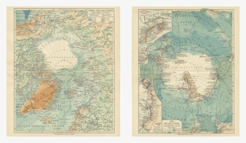
Antique Maps of the North and South Polar Regions, Pair, 1916
1916 · € 240
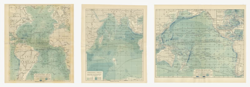
Antique Depth Charts of the Three Great Oceans, Set of Three, 1916
1916 · € 270
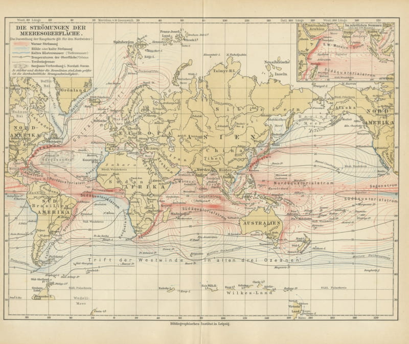
Antique Map of World Ocean Currents, Warm and Cold Drifts, Meyers, 1916
1916 · € 90
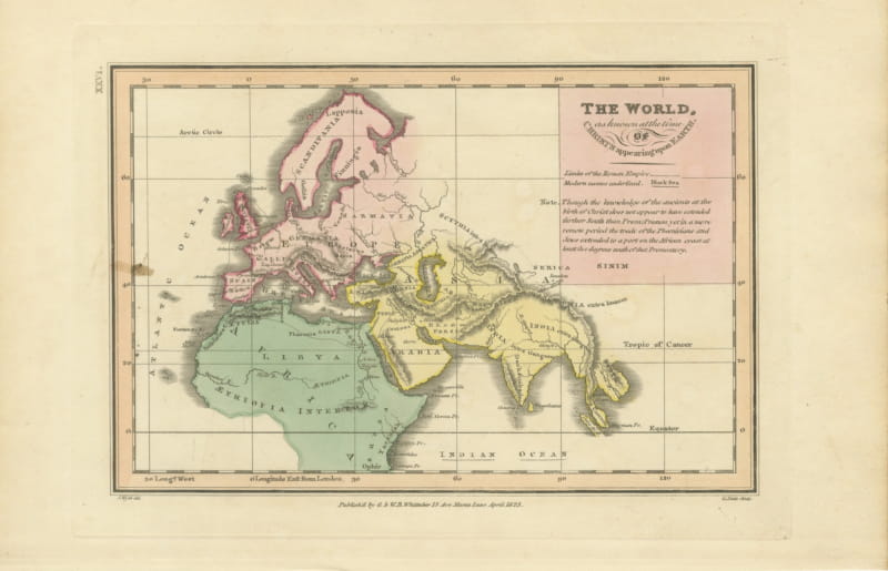
The World at the Time of Christ, Antique Hand-Colored Map, 1823
1823 · € 290
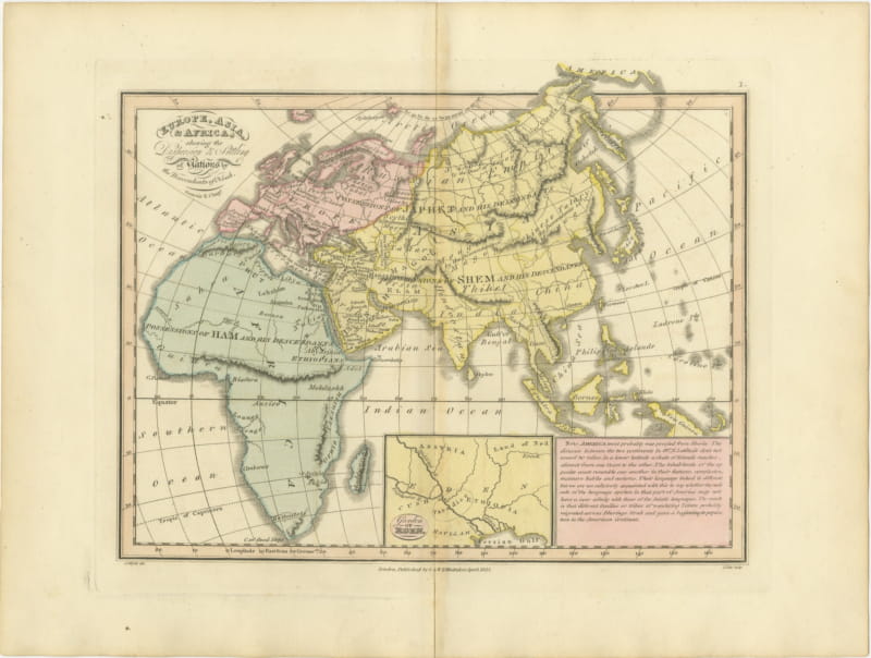
Europe, Asia and Africa After the Flood, Antique Wyld Map, 1823
1823 · € 310
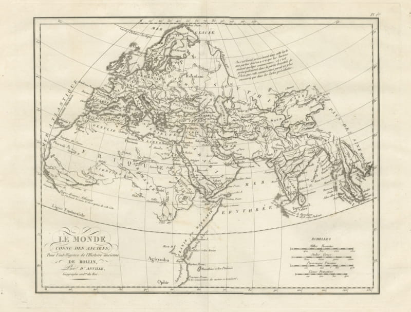
World Known to the Ancients, d'Anville Map for Rollin's Ancient History, 1818
1818 · € 395
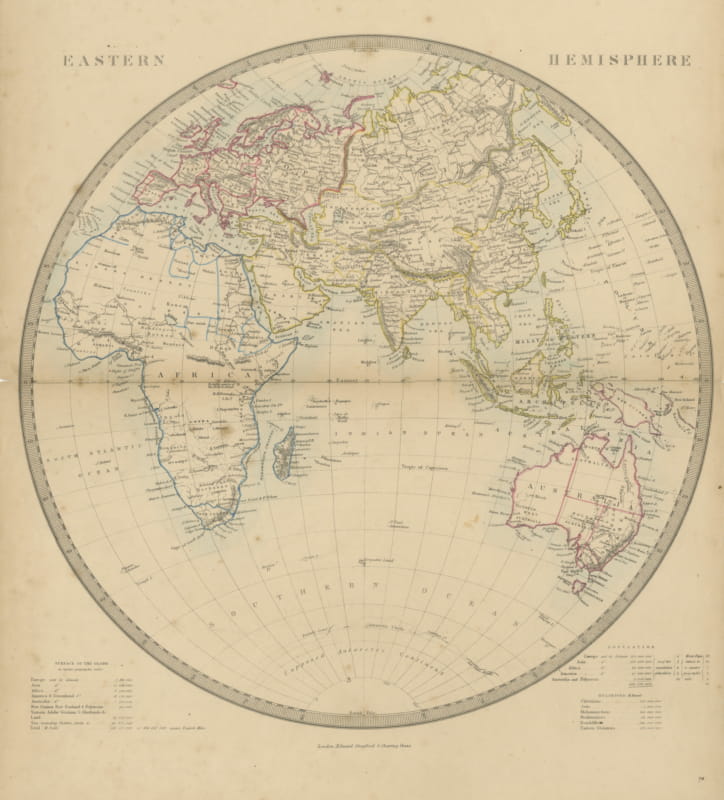
Antique Map of the Eastern Hemisphere with Population and Religions Tables, 1858
1858 · € 200
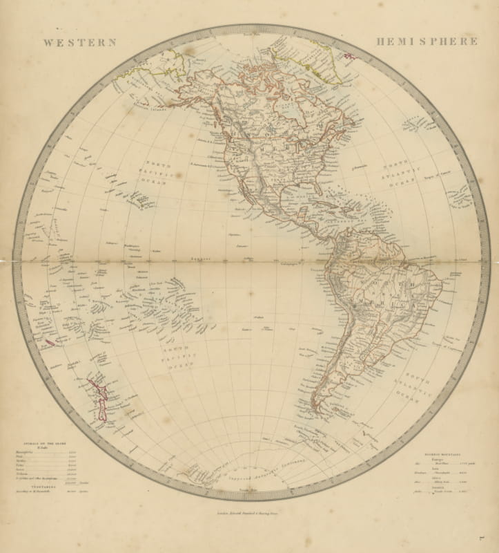
Antique Map of the Western Hemisphere with Highest Mountains Table, 1858
1858 · € 200
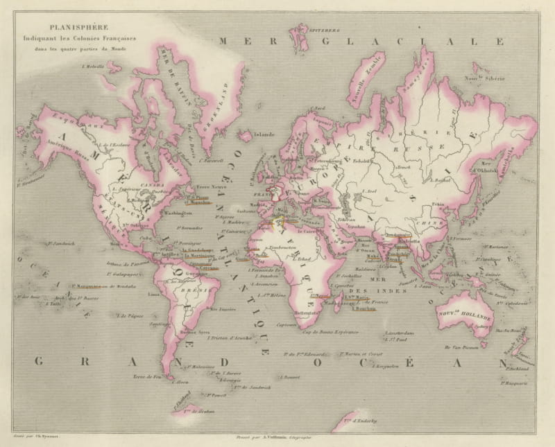
Antique World Map of the French Colonies in Four Continents, circa 1860
circa 1860 · € 310
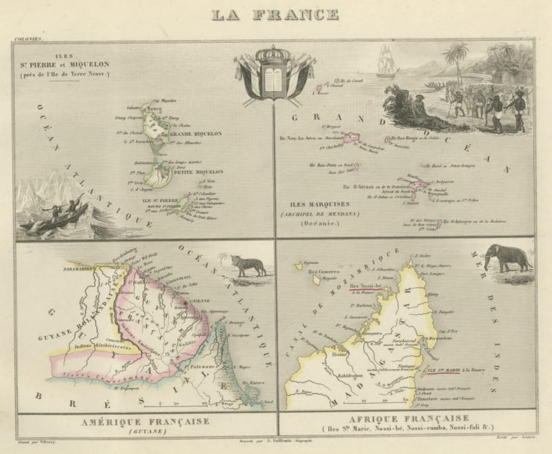
Antique Map of Saint-Pierre, Guiana, the Marquesas and Nosy Be, circa 1860
circa 1860 · € 320
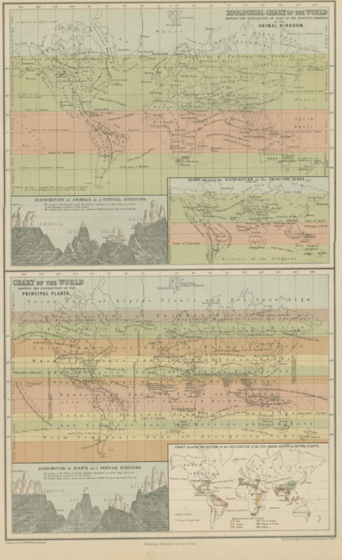
Antique Chart of the World, Tea, Sugar, Coffee and Cotton Regions, 1870
1870 · € 260
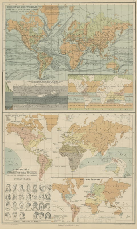
Antique Chart of the World, Winds, Currents and Races of Mankind, 1870
1870 · € 260
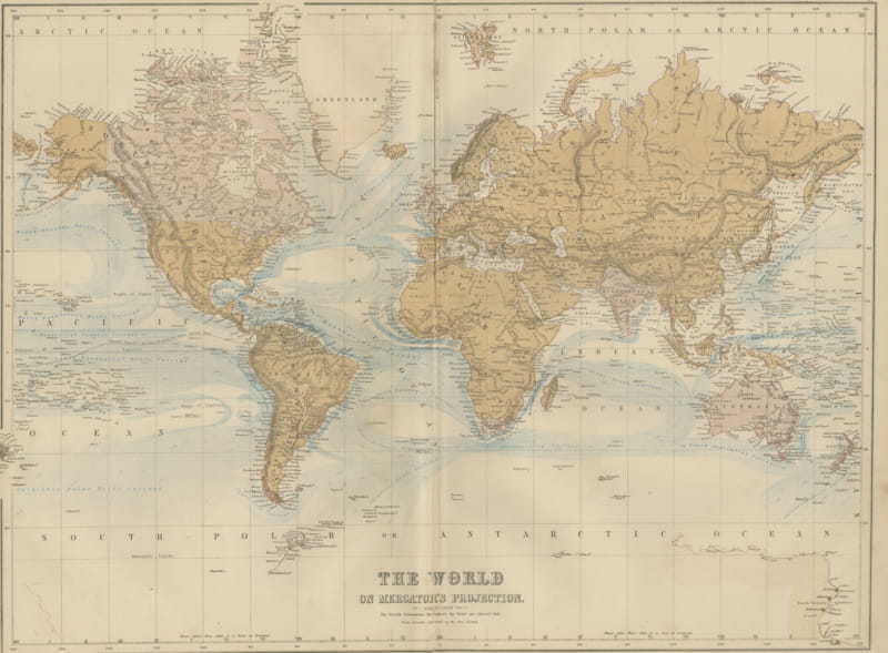
Antique Map of the World on Mercator's Projection, Black's General Atlas, 1870
1870 · € 290
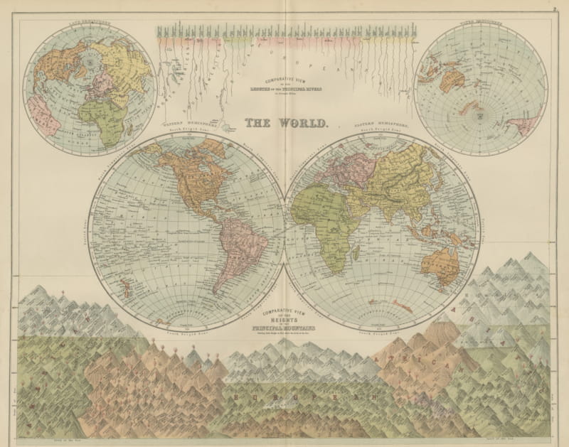
Antique Map of the World in Two Hemispheres, with Rivers and Mountains, 1870
1870 · € 330
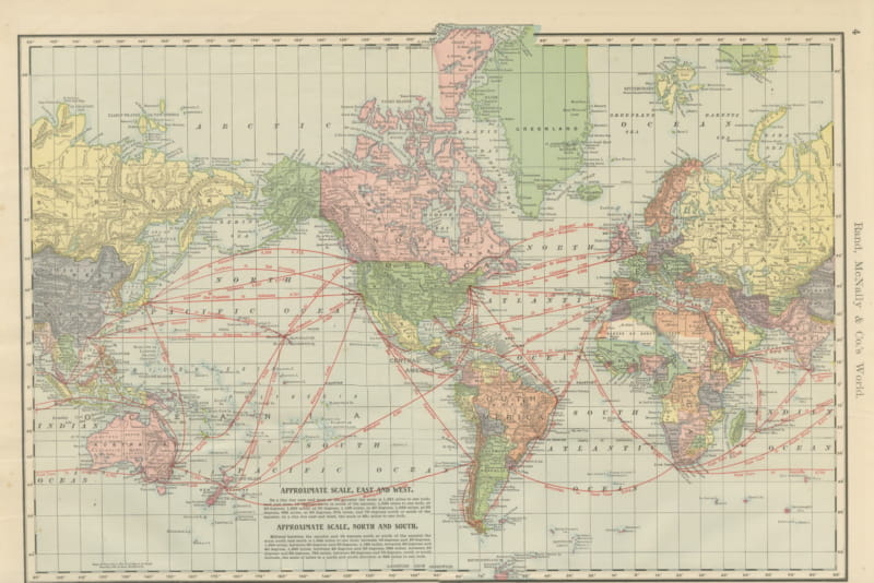
Antique Map of the World, with Steamship Routes, Rand McNally, 1899
1899 · € 395
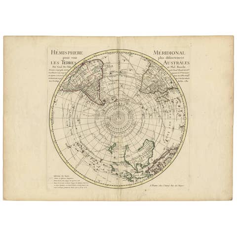
Antique Southern Hemisphere Map by Guillaume De L'Isle, Circa 1783
1783 · € 995
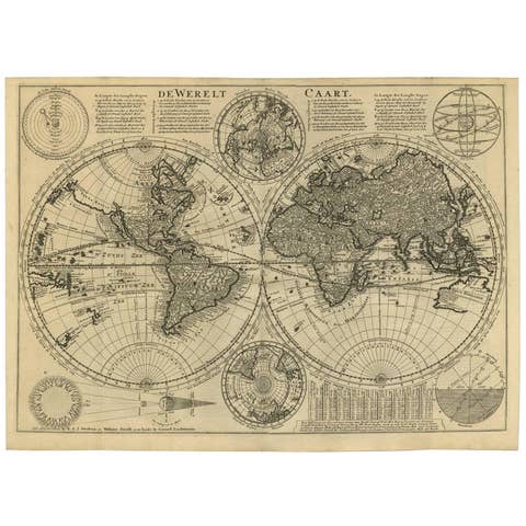
Mid-18th Century Antique World Map by R. & J. Wetstein, Netherlands
€ 2 500
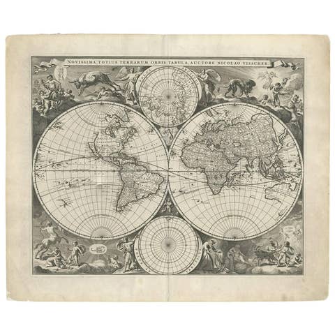
Gorgeous Antique World Map by the Dutch Mapmaker Visscher, published circa 1679
1679 · € 6 600
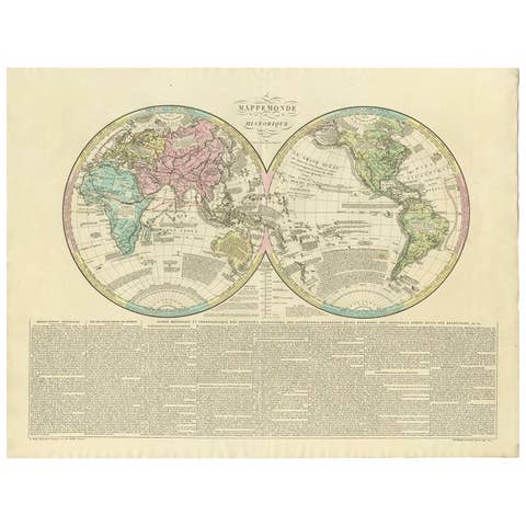
Antique World Map by Lesage, 1823
1823 · € 300
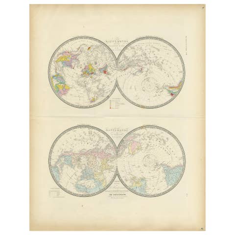
Antique Hemisphere Map of the World 'Two on One Sheet' by Levasseur, '1875'
1875 · € 500
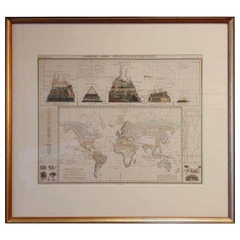
Antique Map of the Distribution of Vegetation throughout the World '1851'
1851 · € 750
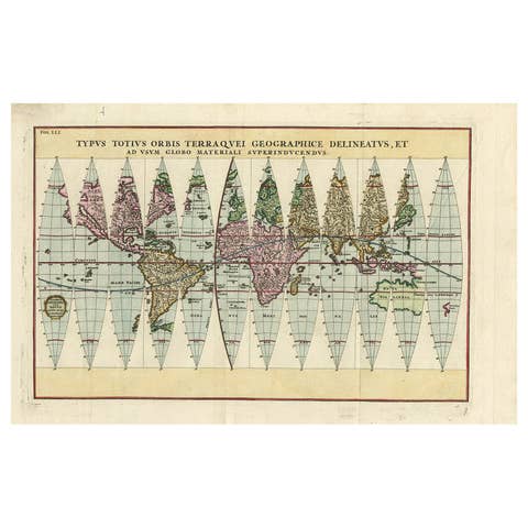
Antique Map of the World in 12 Globe Gores by Scherer, 'circa 1702'
1702 · € 2 000
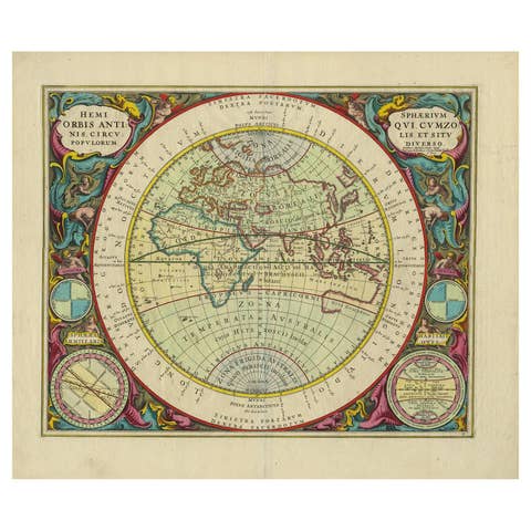
Antique Map of the Eastern Hemisphere by Valk & Chenk '1708'
1708 · € 4 500
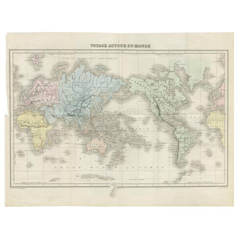
Antique Map of the World by D'Urville '1853'
1853 · € 300
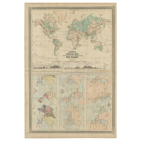
Four Physical Maps of the World on One Sheet , 1872
1872 · € 350

Antique Map of the World Showing the Distribution of Plants and Minerals, 1872
1872 · € 210
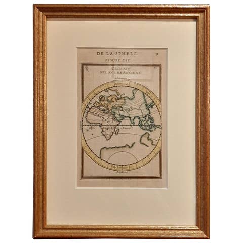
Antique Map of the Eastern Hemisphere in Frame, 'circa 1683'
1683 · € 350
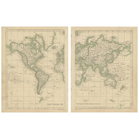
Antique Map of the World in two sheets, 1852
1852 · € 250

Antique Map of the Northern Hemisphere by Lowry, '1852'
1852 · € 150
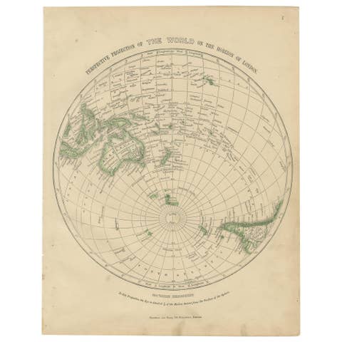
Antique Map of the Southern Hemipshere by Lowry '1852'
1852 · € 150
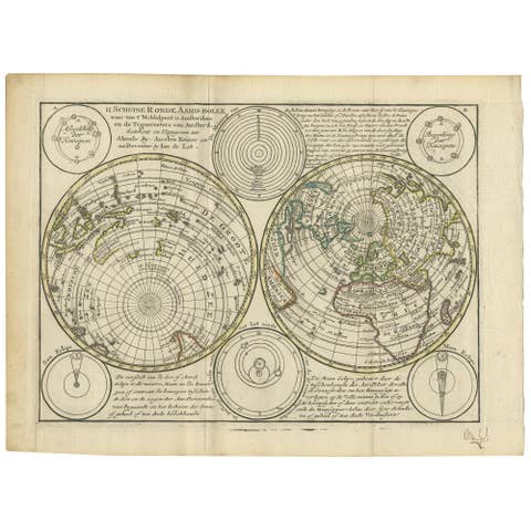
Antique Map of the World in Hemispheres by Keizer & de Lat, 1788
1788 · € 500
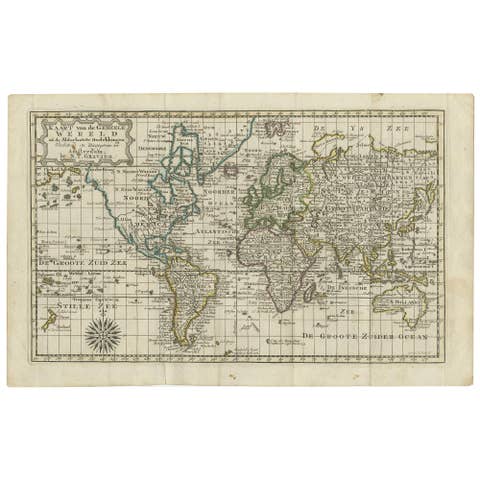
Antique Map of the World on Mercator's Projection, 1788
1788 · € 750
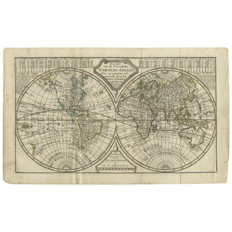
Antique Map of the World in two Hemispheres by Keizer & de Lat, 1788
1788 · € 750

Antique Map of the World with Polar Projections by Keizer & de Lat, 1788
1788 · € 500
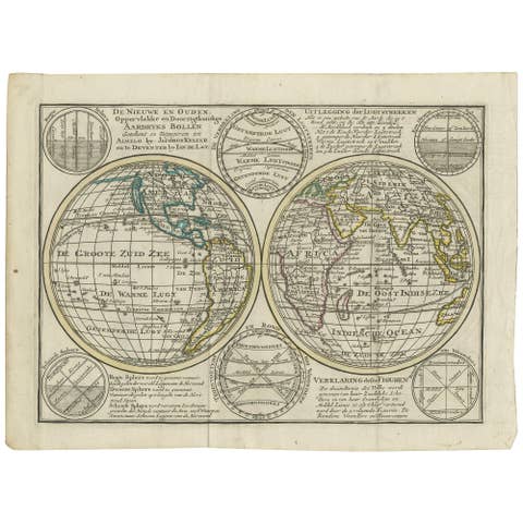
Interesting Antique Engraving of the World in Hemispheres with 6 Diagrams, 1788
1788 · € 500
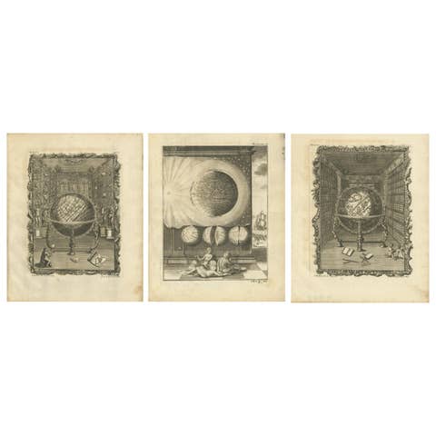
Set of 3 Antique Prints of Various Globes and Hemispheres by Van Dùren, 1749
1749 · € 500
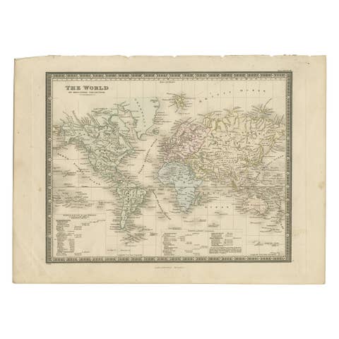
Antique Map of the World, Mercator Projection, by Wyld, '1845'
1845 · € 350
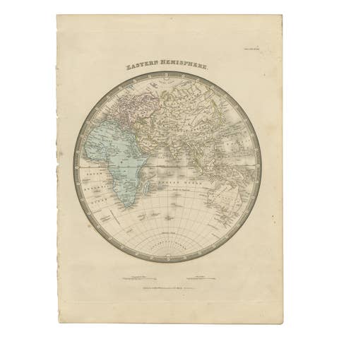
Antique Map of the Eastern Hemisphere by Wyld '1845'
1845 · € 350
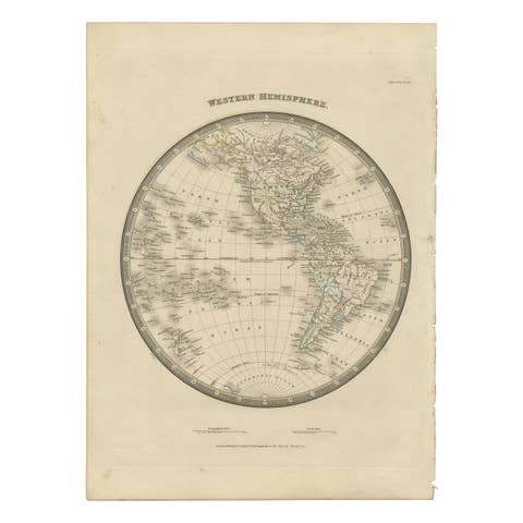
Antique Map of the Western Hemisphere by Wyld '1845'
1845 · € 350
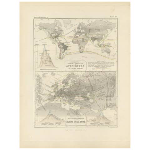
Antique Map Showing the Division and Distribution of Birds by Johnston '1850'
1850 · € 200

Antique Map Showing the Division and Distribution of Mammals by Johnston '1850'
1850 · € 200
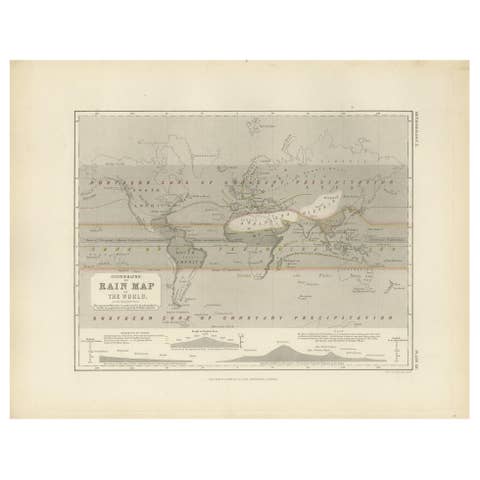
Antique Rain Map of the World by Johnston '1850'
1850 · € 200
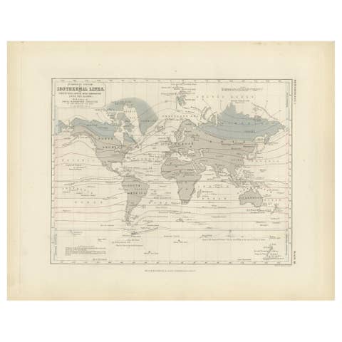
Antique Map showing Isotherm Lines throughout the World by Johnston '1850'
1850 · € 200
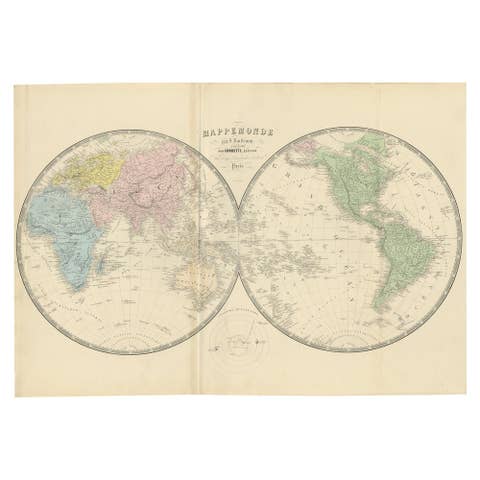
Antique Map of the World by A. Vuillemin, 1854
1854 · € 375
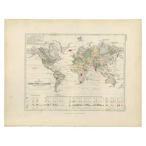
Antique Geological Map of the World by Johnston '1850'
1850 · € 300
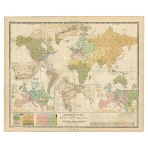
Antique Map Showing the Religions Around the World by Johnston '1854'
1854 · € 697

Antique Map of the World by Ferrario '1831'
1831 · € 200
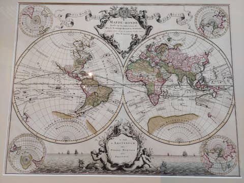
Original Antique Hand-colored World Map with or without Frame, '1696'
1696 · € 4 500