About this sheet
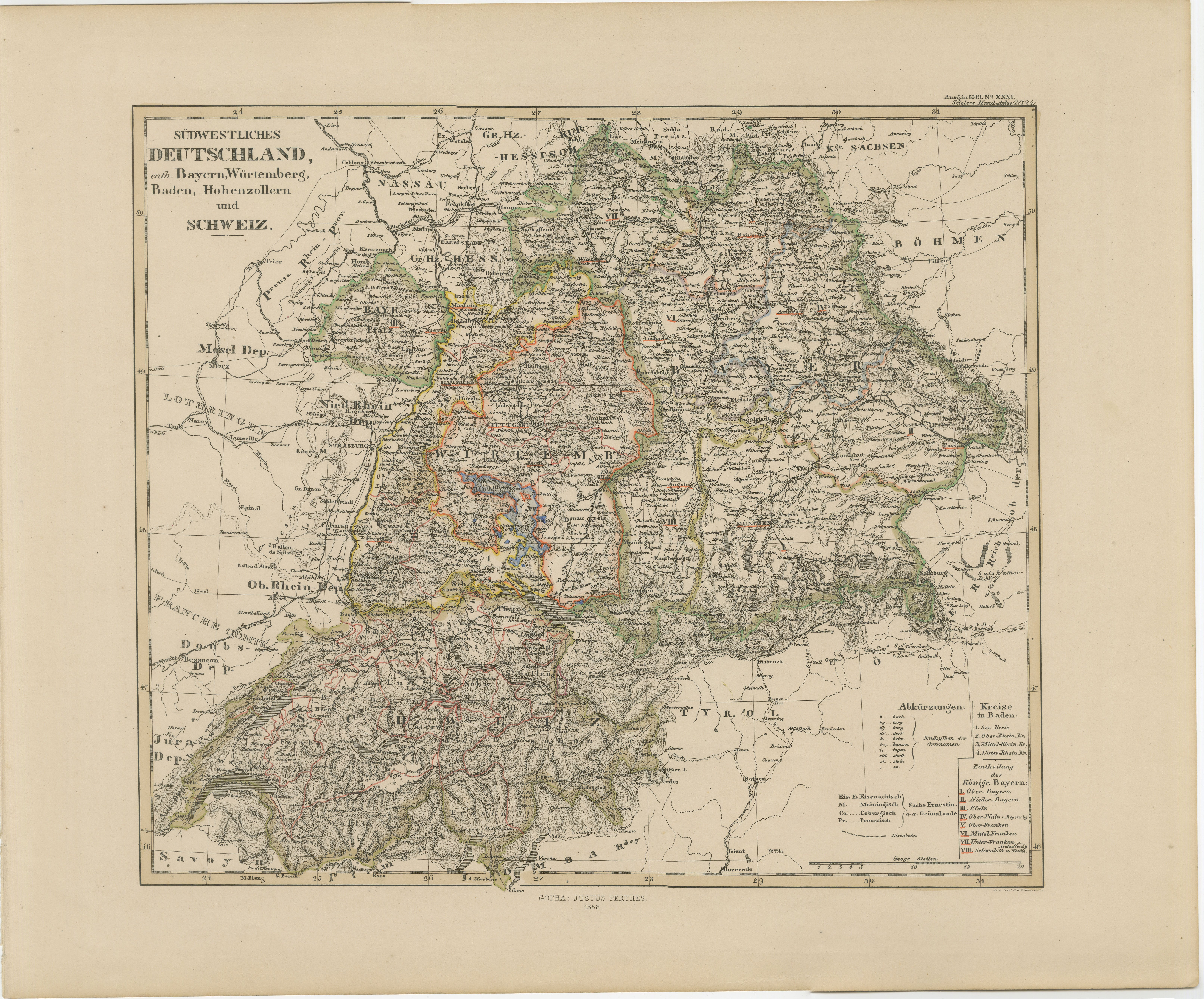
Antique Map of Southwestern Germany & Switzerland – Bavaria, Württemberg, Baden, 1858
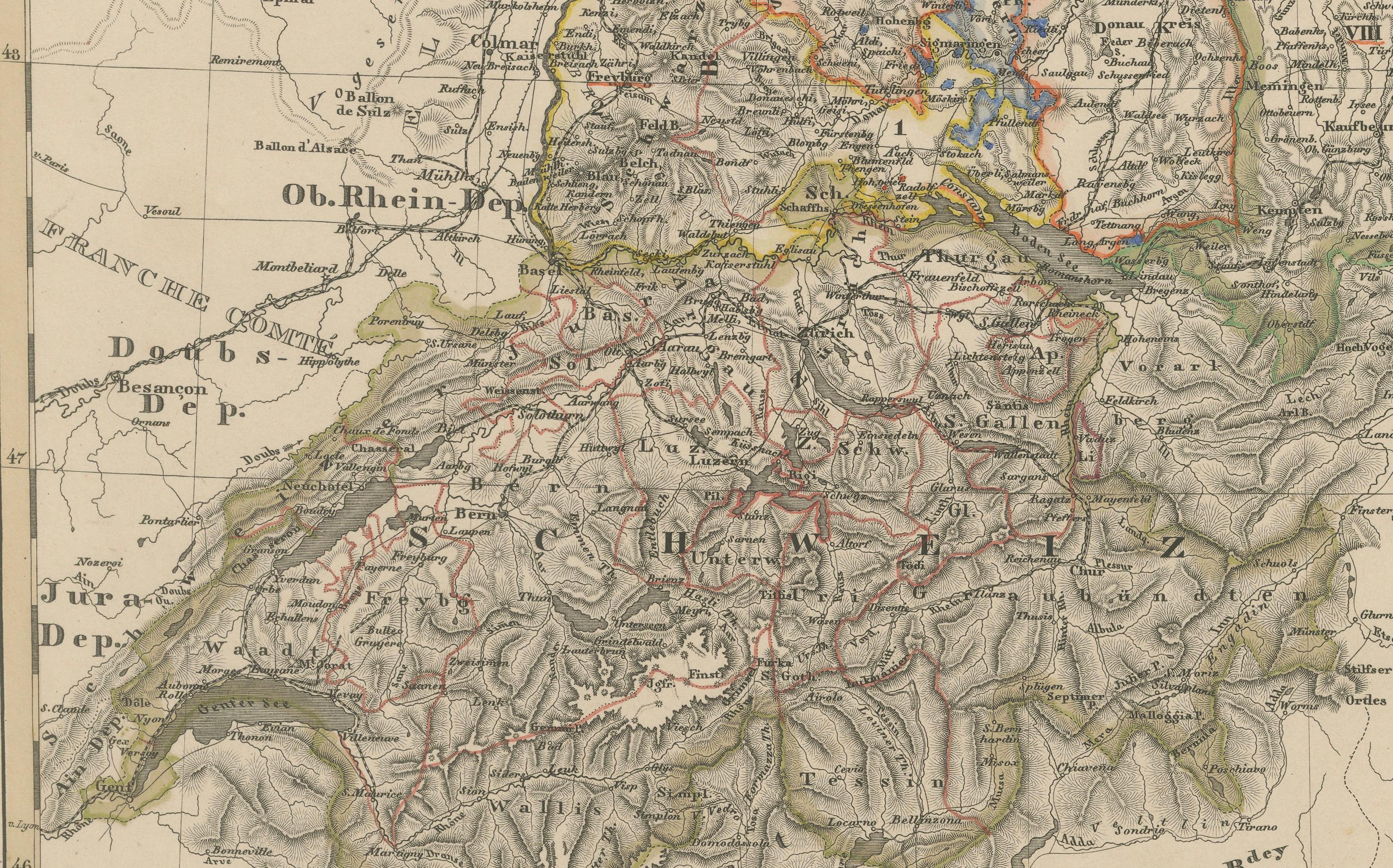
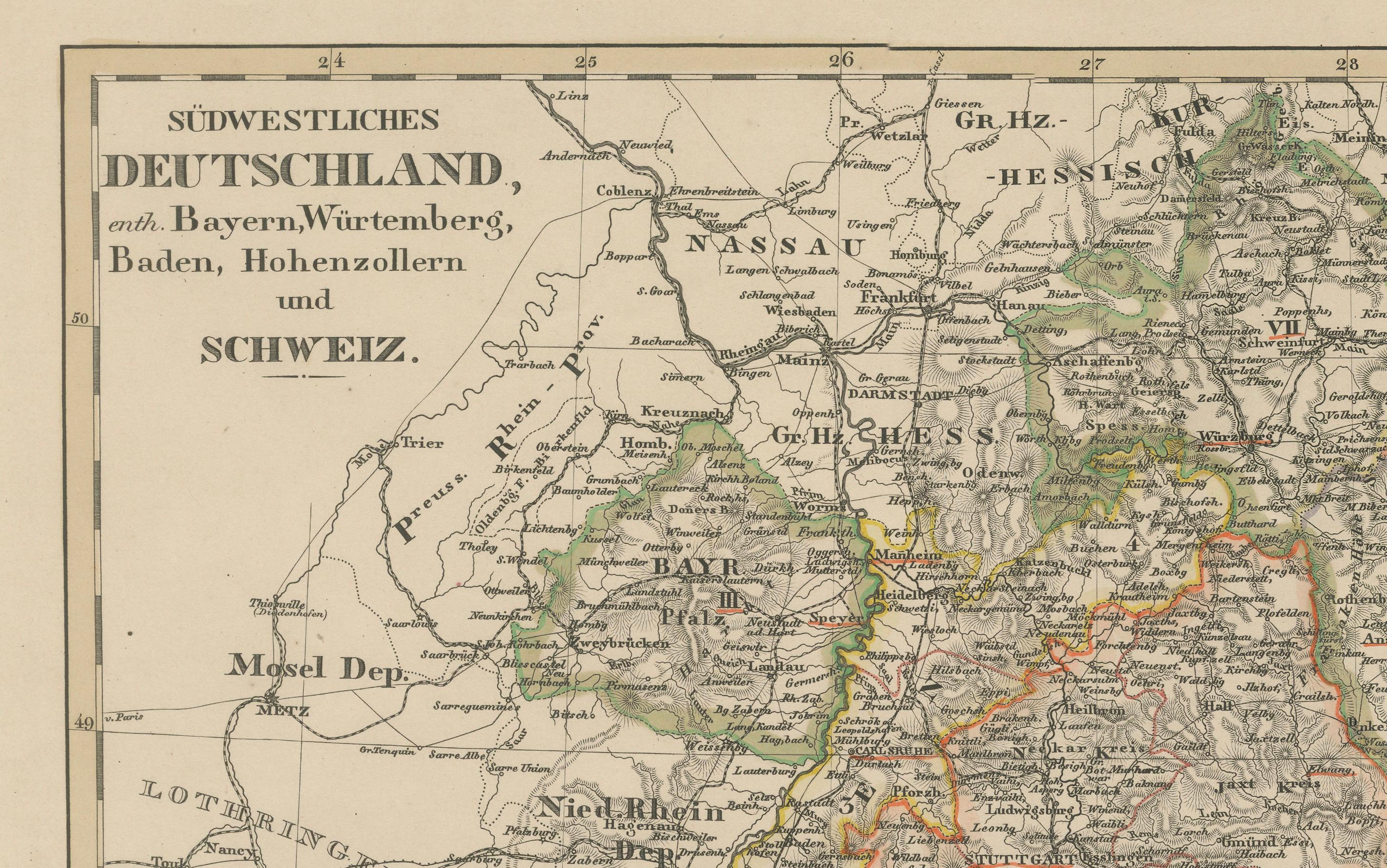
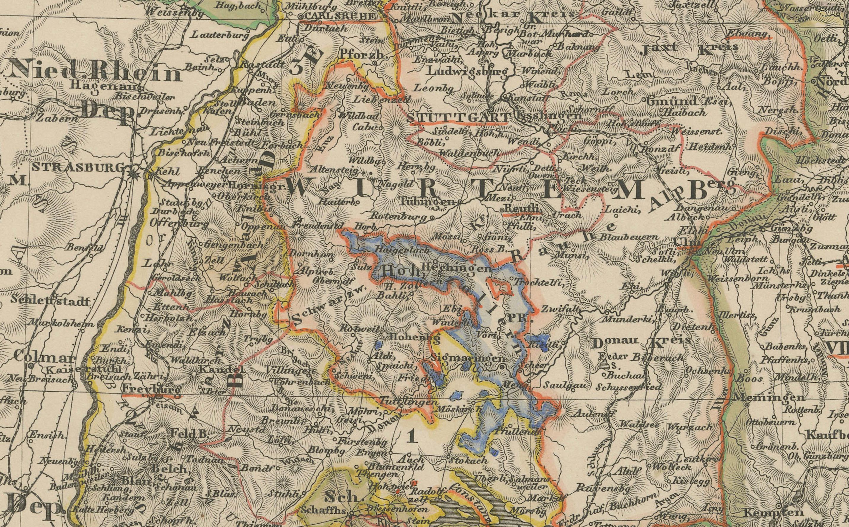
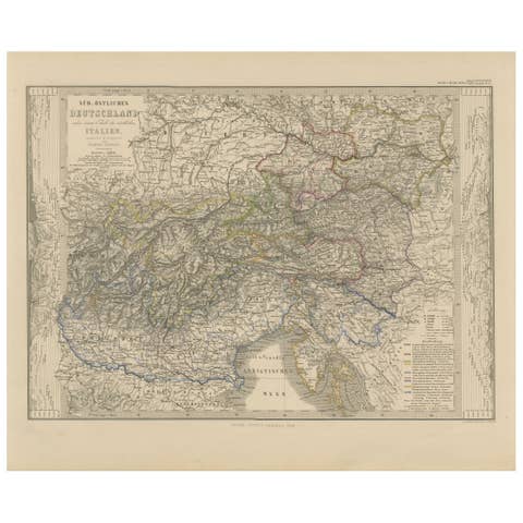
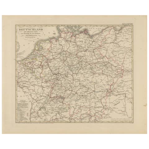
Detailed antique map titled "Südwestliches Deutschland mit Bayern, Würtemberg, Baden, Hohenzollern und Schweiz", published by Justus Perthes in Gotha in 1858. This copperplate engraving presents a richly detailed view of Southwestern Germany and Switzerland during the mid-19th century, a time of growing national consciousness and evolving regional alliances prior to German unification.
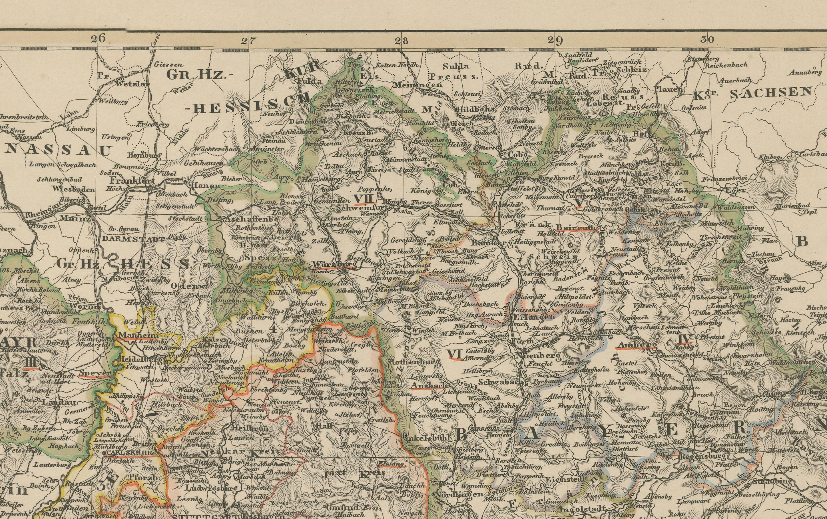
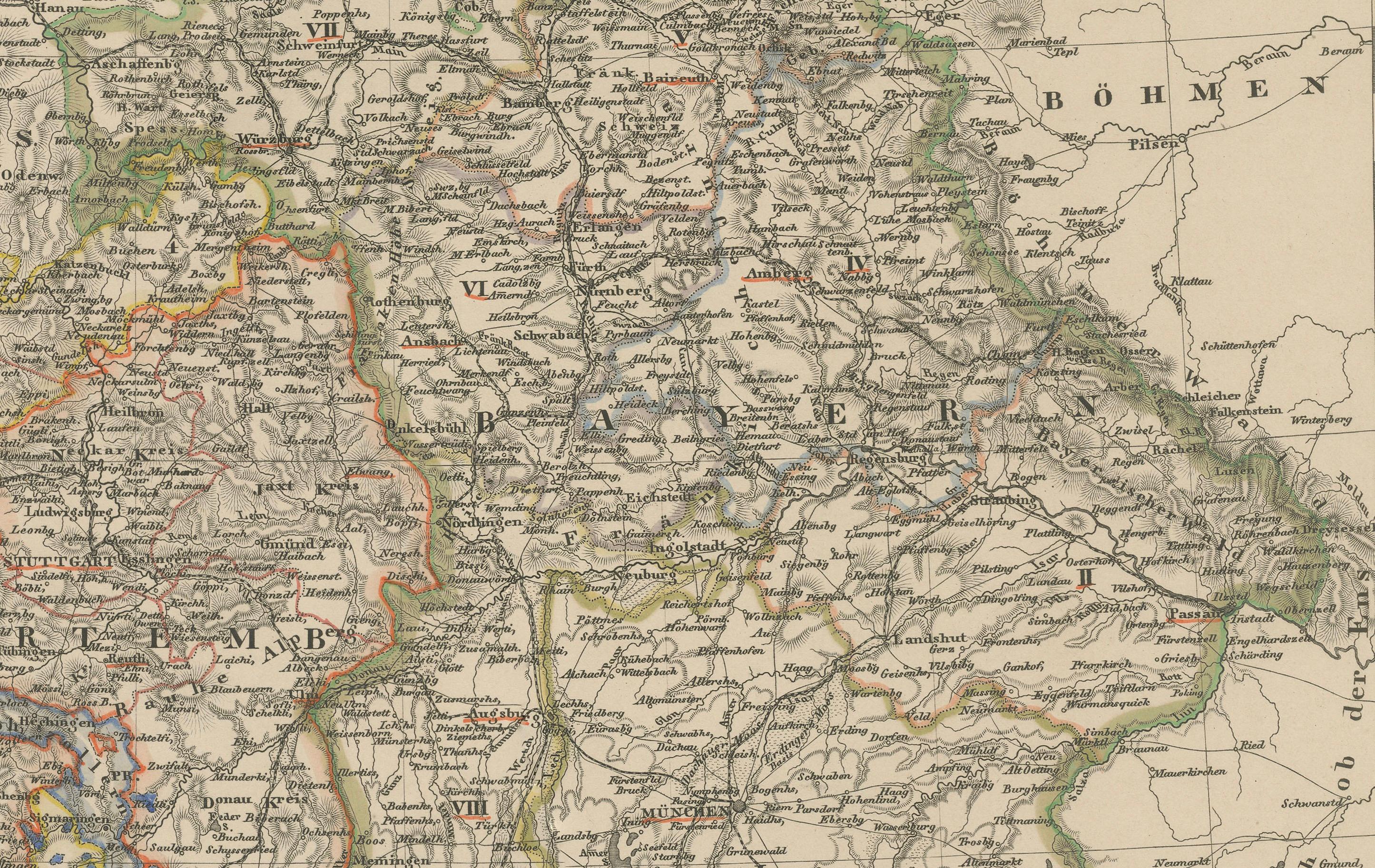
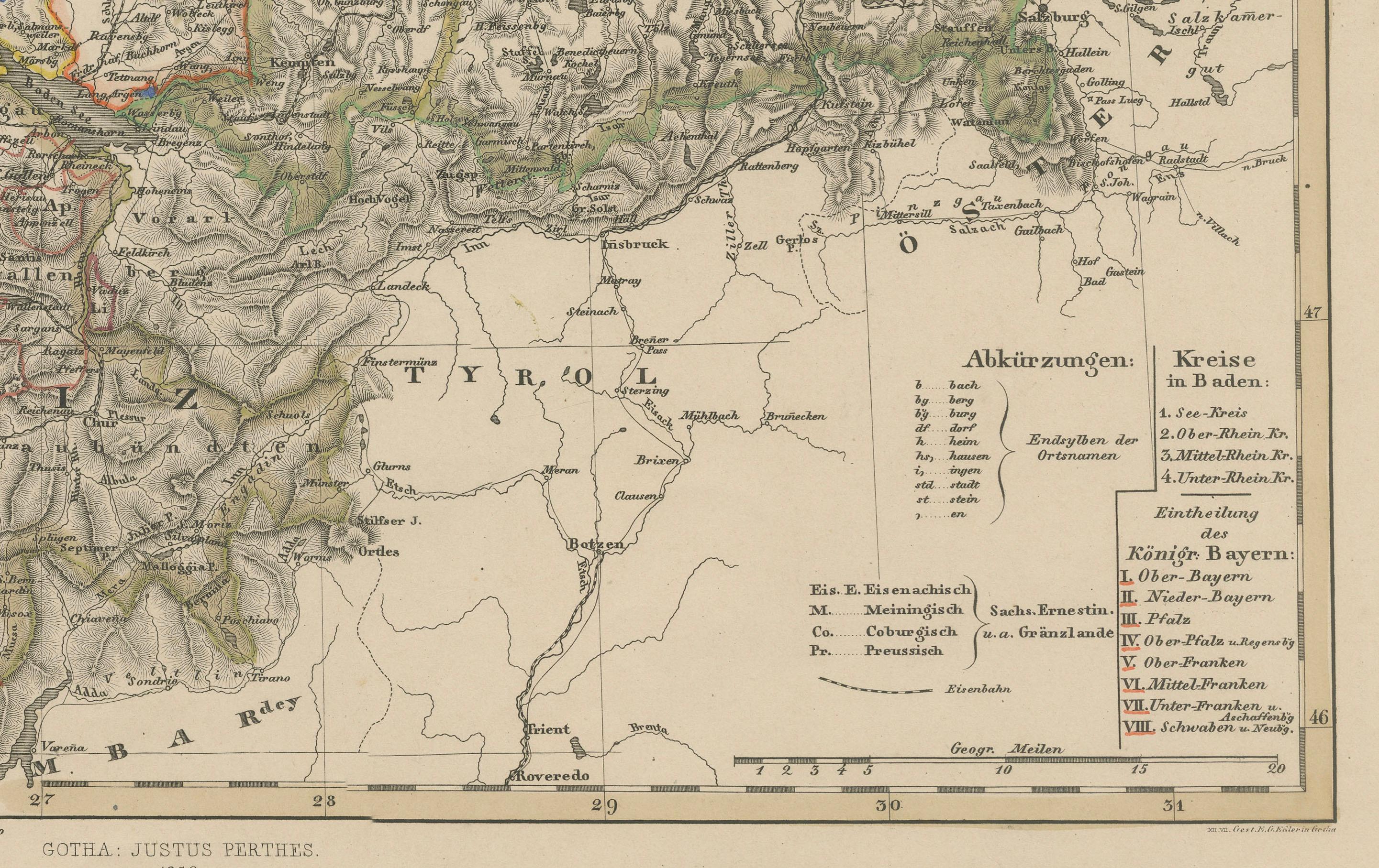
The map encompasses the southern German states of Bavaria (Bayern), Württemberg, Baden, and Hohenzollern, extending southward into Switzerland and westward to the Rhine. A wealth of cities, roads, and rivers are labeled, including Munich (München), Stuttgart, Freiburg, Augsburg, and Zurich. Switzerland’s mountainous topography is carefully engraved, as is the Black Forest region of Baden.
Administrative boundaries are outlined in vivid hand-coloring, and a key at lower right lists abbreviations for Bavarian districts. The Alpine terrain is represented with shaded relief, conveying the geographical transition from southern Germany into the Swiss Alps and northern Tyrol.
This map is valuable not only for its political geography but also for its finely rendered depiction of terrain and infrastructure during a pivotal period in Central European history. Its detail and clarity make it a compelling item for collectors of maps focusing on German regional history or the early modern Swiss Confederation.
Condition report:
Very good condition. Minor toning in the outer margins. Hand-coloring remains vibrant and clear. No tears, foxing, or repairs noted. Please examine the image closely for additional detail.
Framing tips:
Pair this map with a natural wood or black frame and a soft ivory mat. A thin red or green accent line in the mat can reflect the political boundaries and enhance contrast. Suitable for historical or academic interiors, especially alongside other 19th-century Germanic or Alpine maps.
Technique: Copperplate engraving with original hand-coloring
Maker: Justus Perthes, Gotha, 1858