A Tallis Map of British Guiana with Colonial Vignettes and Other Landmarks, 1851
€ 290
Original antique · The actual sheet photographed · Certificate of authenticity on request · Sold unframed · Worldwide shipping from € 15 (rates)
Date
1851
Sheet size
36.2 × 27.2 cm (14.3 × 10.7 in)
Condition
Good
Reference
BG-13736-4
What the condition grades mean
Excellent
Bright and clean, with no faults worth mentioning.
Very good
Only light signs of age, such as faint toning.
Good
Normal signs of age for a sheet of this period: toning, some foxing, small marks or neat old repairs.
Fair
Clear faults such as staining, tears or repairs, priced to match.
Every fault we see is written in the condition note, and the whole sheet is shown uncropped in the photos.
Condition
Good given age. Original fold in middle as published. General age-related toning, please study scan carefully.
About this sheet
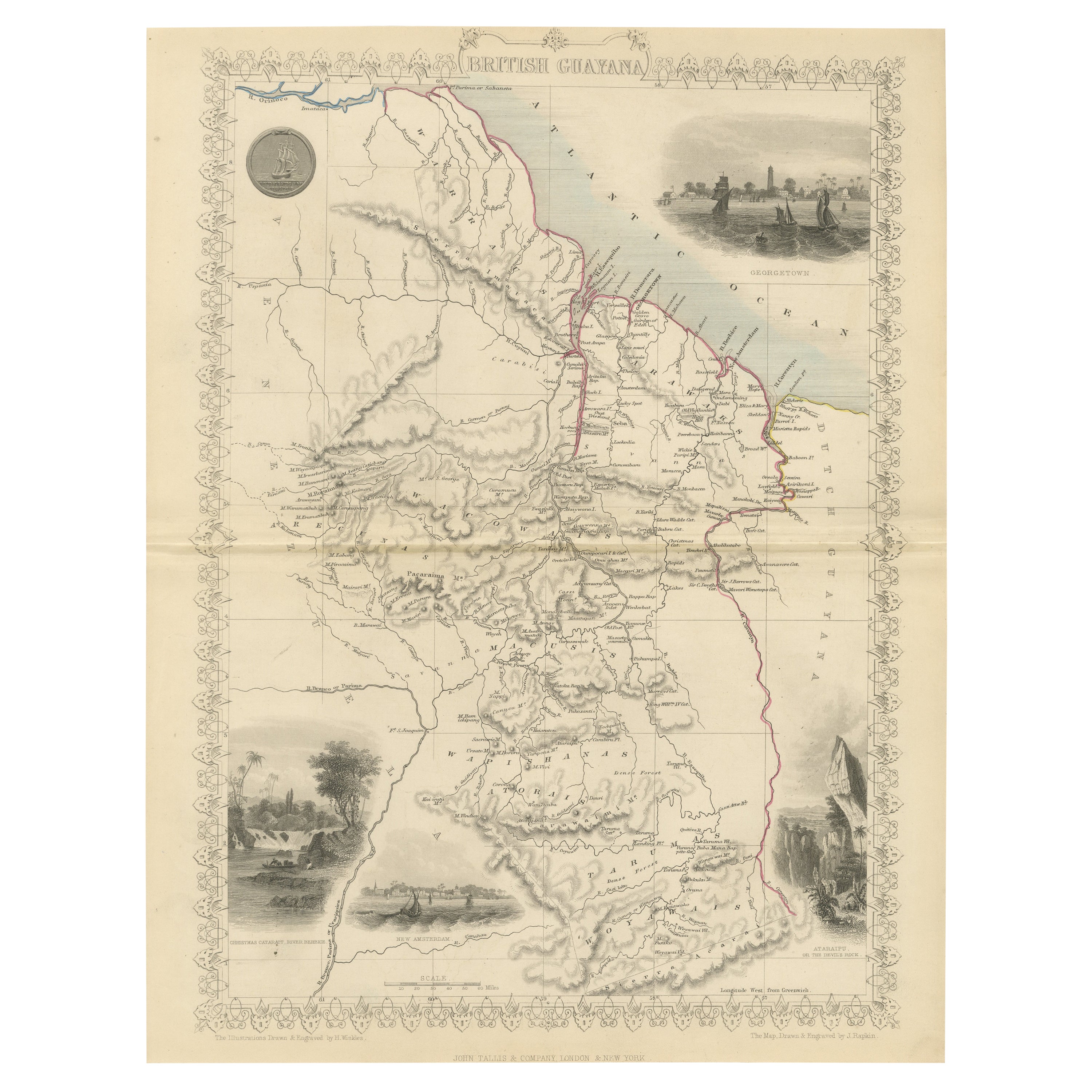
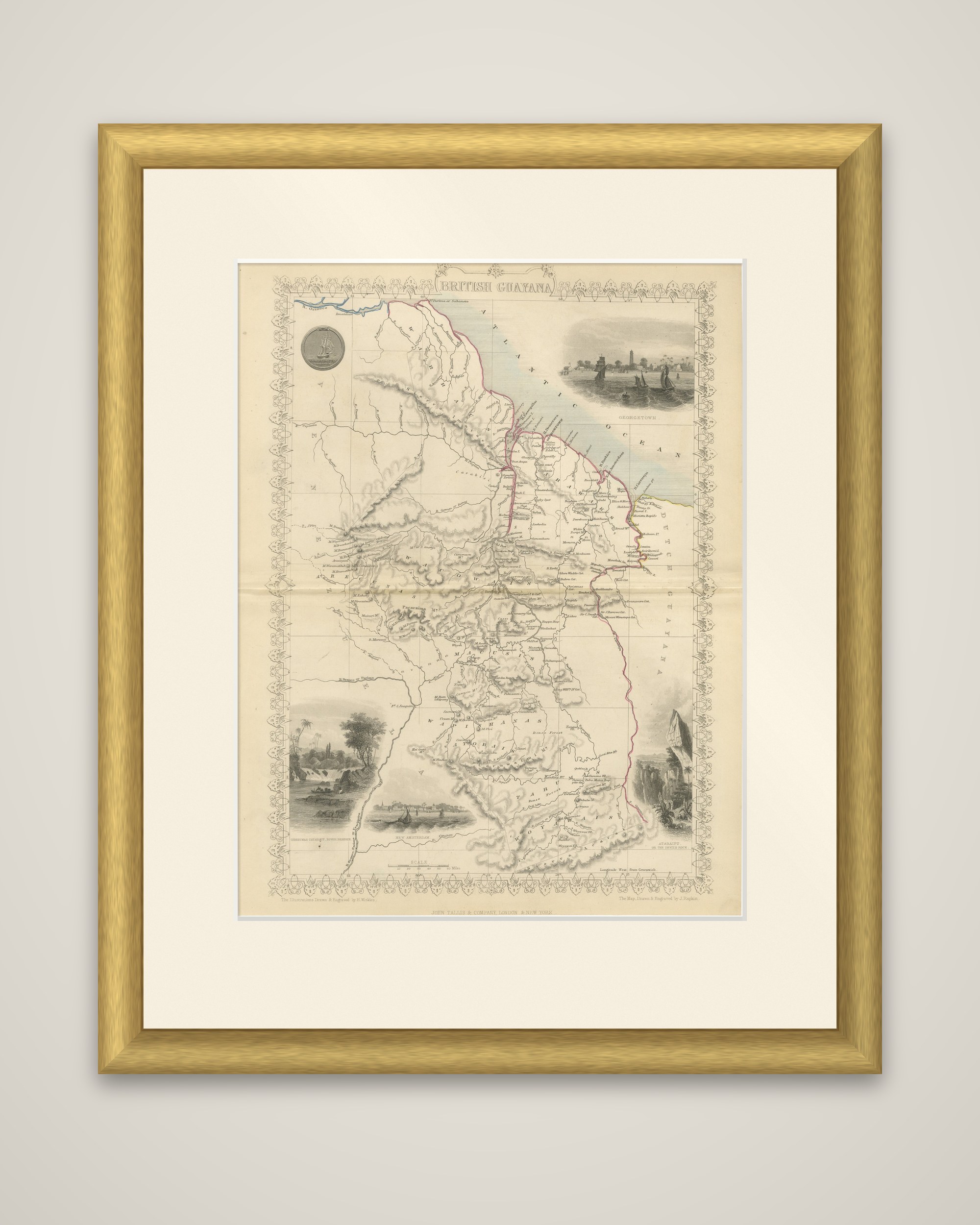
British Guiana, an original steel-engraved map by John Tallis and Company, London and New York, published in 1851. The title is lettered at the top of the sheet, and the map is surrounded by a decorative border, with the imprint at the foot and the credit for the map drawn and engraved by J. Rapkin.
The colony runs from the Atlantic coast at the top to the interior highlands at the bottom of the sheet. The rivers, with the Essequibo, Demerara and Berbice flowing north toward the sea, are drawn in fine detail with settlements along them, and "Dutch Guayana" is marked along the eastern boundary. The relief is shown in soft shading. Four vignettes are set in the border: Georgetown at the upper right, New Amsterdam at the bottom and two views of waterfalls and cliffs at the lower corners. The seal of the colony with a ship is at the upper left.
British Guiana was a sugar and timber colony formed from the Dutch settlements of Essequibo, Demerara and Berbice, and is now Guyana.