

Maps & PrintsBartele Gallery · Langweer
Home / Antique Maps / Europe / Western Europe / France

France · 19th century

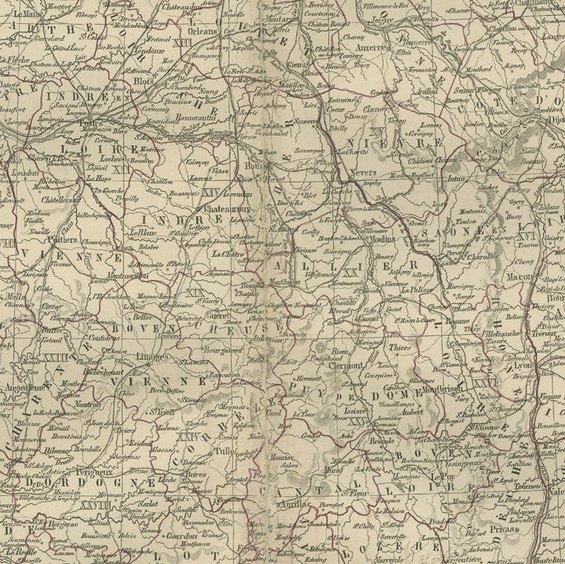
Map of France with Corsica and Paris Inset – Nieuwe Hand-Atlas, 1876

€ 320

Original antique · The actual sheet photographed · Certificate of authenticity on request · Sold unframed · Worldwide shipping from € 15 (rates)

Date
1876
Mapmaker / artist
M. Frijlink & A. van Otterloo, published by D. Noothoven van Goor, Leiden, 1876
Technique
Lithograph with original hand-coloring
Sheet size
44 × 55 cm (17.3 × 21.7 in)
Condition
Good
Reference
BG-12788-8
What the condition grades mean
Excellent
Bright and clean, with no faults worth mentioning.
Very good
Only light signs of age, such as faint toning.
Good
Normal signs of age for a sheet of this period: toning, some foxing, small marks or neat old repairs.
Fair
Clear faults such as staining, tears or repairs, priced to match.

Every fault we see is written in the condition note, and the whole sheet is shown uncropped in the photos.

Condition

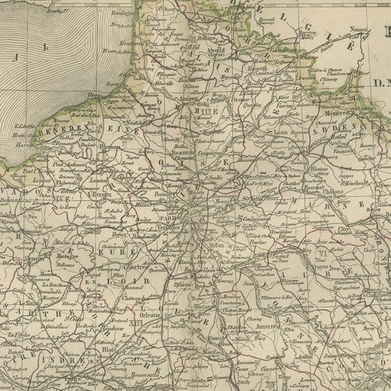
Good condition with light toning and scattered foxing around the margins. Original center fold as issued. The image remains sharp with vivid original coloring. No tears or repairs.

About this sheet

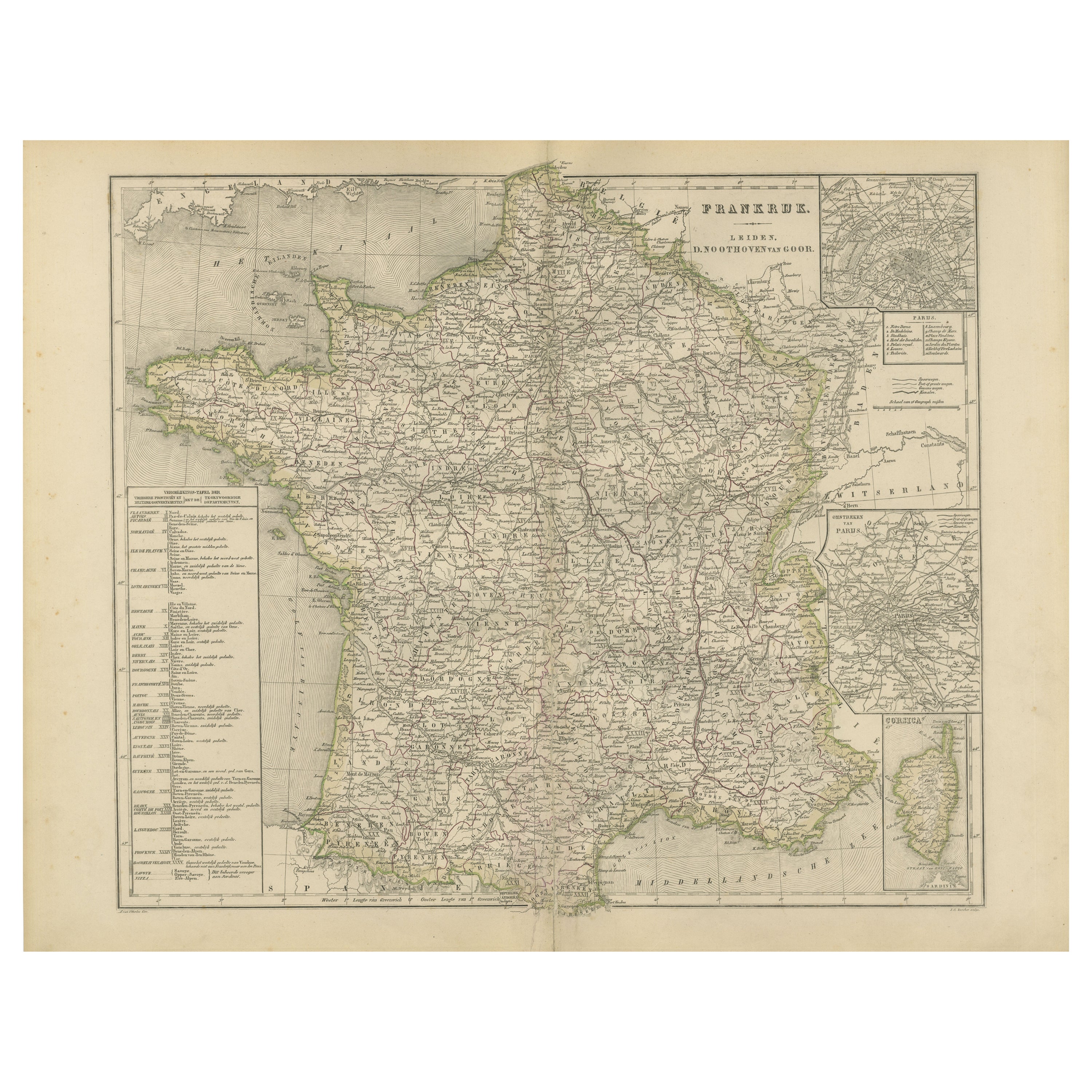
This detailed 19th-century map, titled “Frankrijk,” was published in 1876 in the Nieuwe Hand-Atlas der Aarde in haren Tegenwoordigen Toestand by M. Frijlink, revised by A. van Otterloo, and issued by D. Noothoven van Goor in Leiden. The map offers a clear and precise representation of France during the late 19th century, with political divisions, administrative boundaries, and major transport routes finely engraved and delicately hand-colored.

Each département is outlined in soft color to distinguish regional boundaries, while the geography is defined with exceptional accuracy. Major rivers such as the Loire, Seine, and Rhône are clearly traced, and the surrounding seas and coastlines are carefully detailed. Insets at the right depict a larger plan of Paris (Omstreken van Parijs) and the island of Corsica (Corsica). A detailed list of départements and their capitals is included at left, providing a complete overview of France’s administrative organization following the territorial reforms of the 19th century.

This map was designed for educational use, reflecting the cartographic excellence of Dutch publishers of the period. It combines scientific clarity with the visual refinement of lithographic printing, representative of the craftsmanship for which Noothoven van Goor’s Leiden press was known. Its elegant simplicity and accuracy make it a fine example of late 19th-century geographic art.

Condition report:
Good condition with light even toning and minor foxing in the margins. Original center fold as issued. The printed image is crisp, the colors soft and well-preserved, and the paper strong with no tears or repairs.

Framing tips:
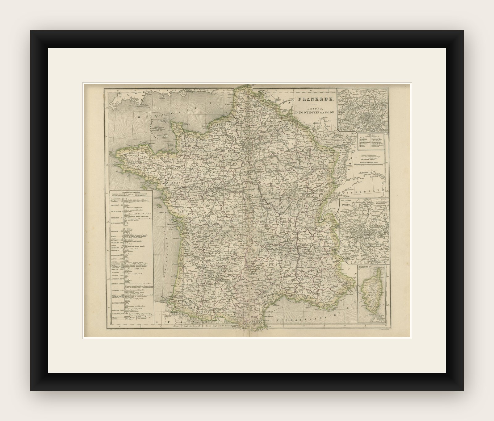
A cream or ivory mat with a slim black or dark walnut frame suits this map beautifully. The harmonious balance of color and detail makes it ideal for display in an office, library, or study focused on European travel or history.

More from France

Ask about this sheet

Map of France with Corsica and Paris Inset – Nieuwe Hand-Atlas, 1876
1876 · Ref. BG-12788-8 · € 320
We reply by email, usually within one working day.

Your favorites

Saved in this browser. Email the list to yourself to keep it on any device.

We use your email to send this list and, only if you tick the box and confirm, for occasional new arrivals. Every email has an unsubscribe link. Bartele Gallery, the Netherlands.