About this sheet
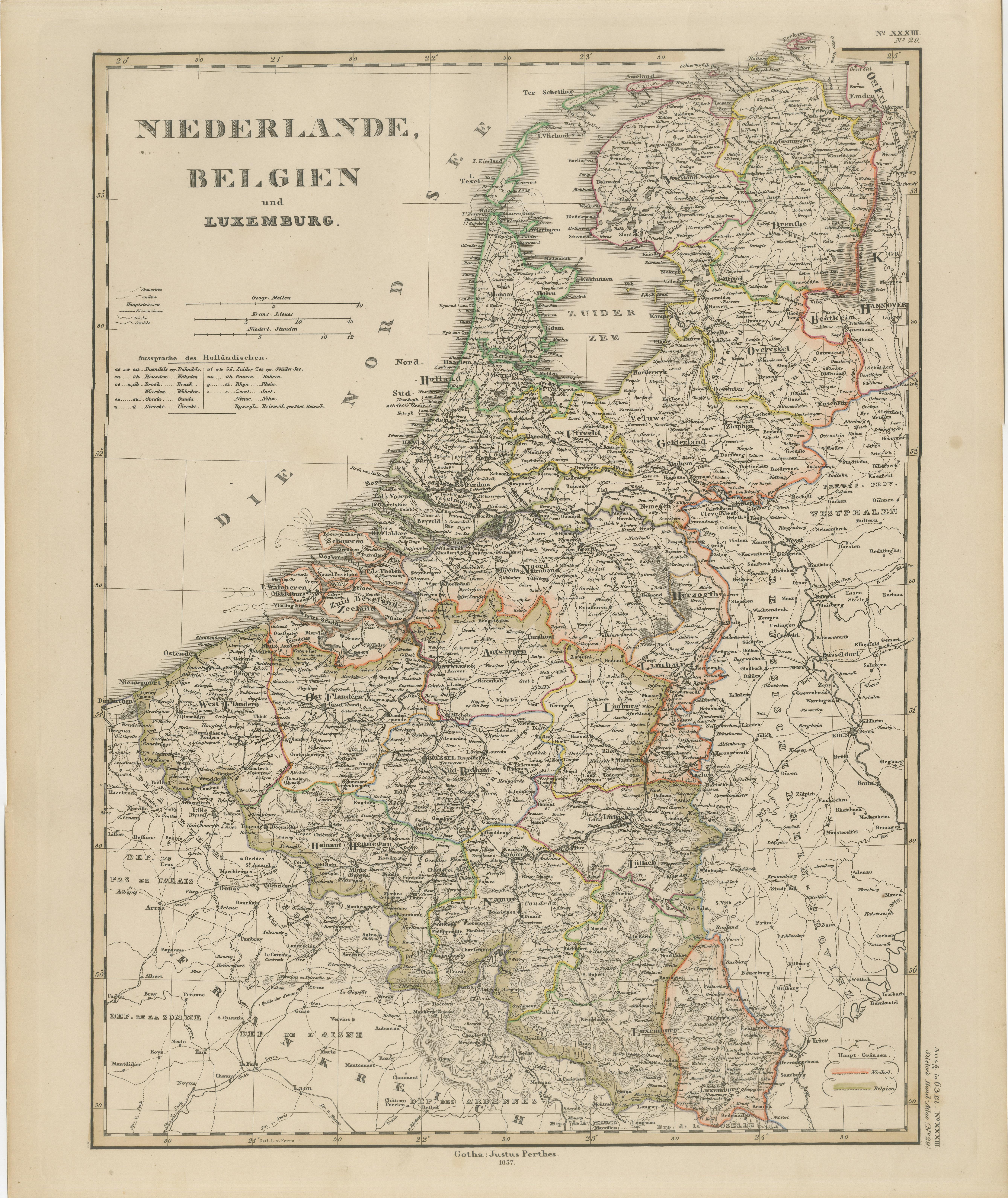
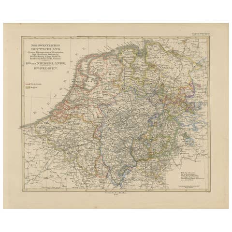
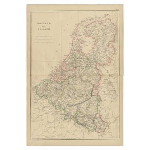
1857 Map of Netherlands, Belgium & Luxembourg – Justus Perthes Engraving
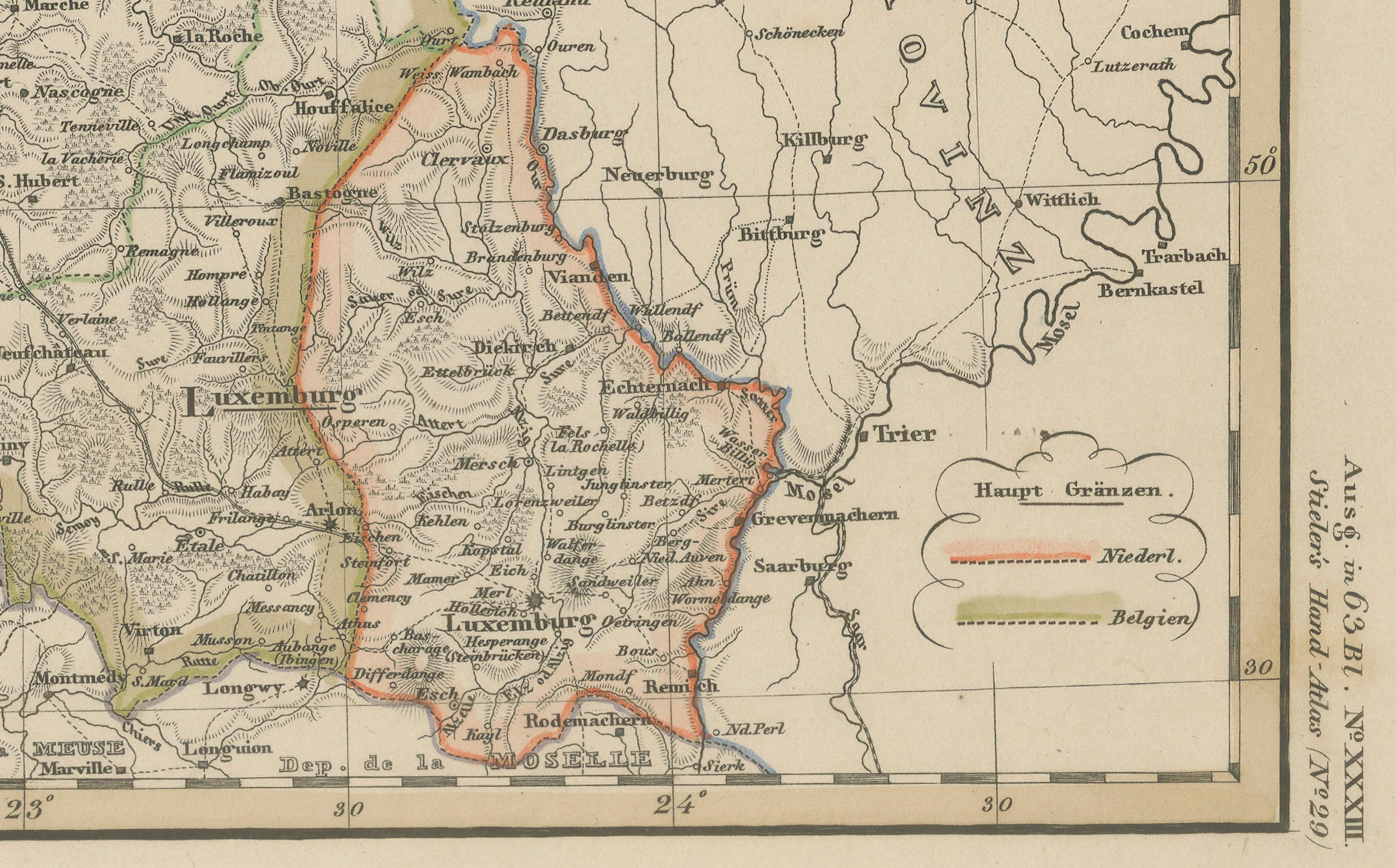
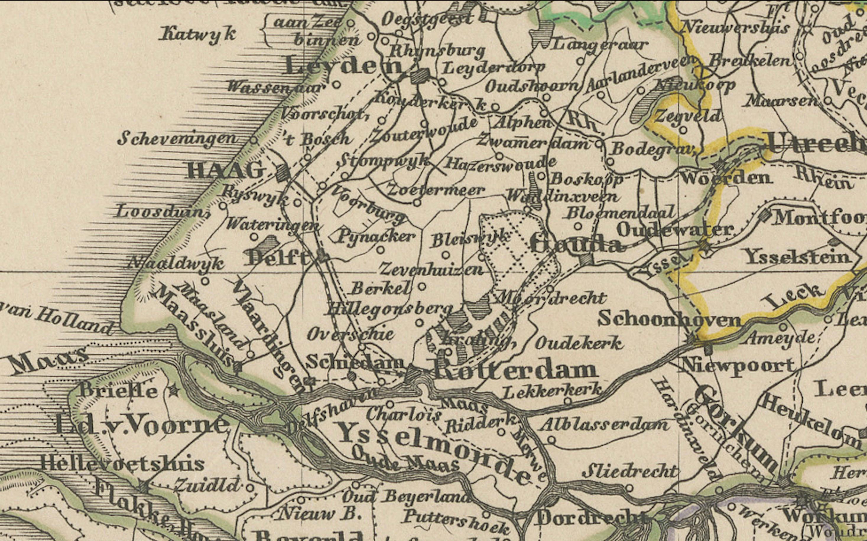
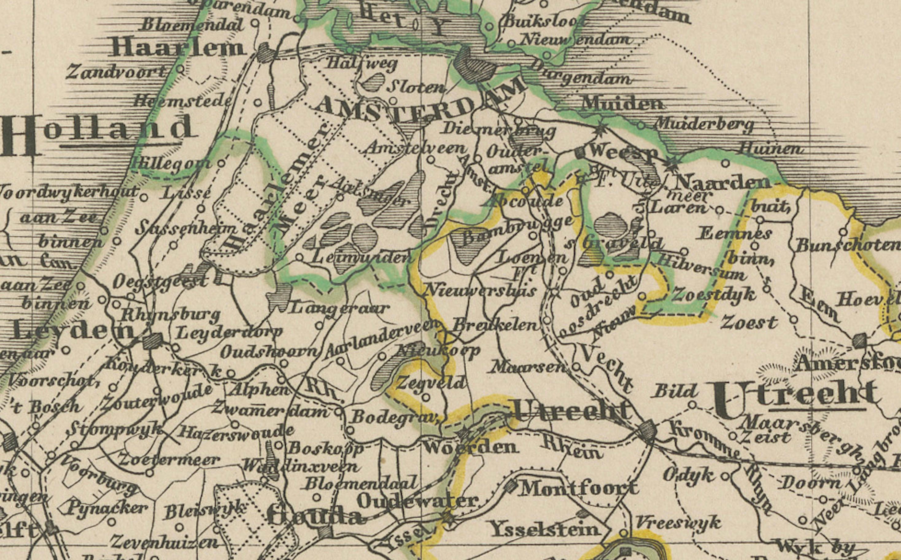
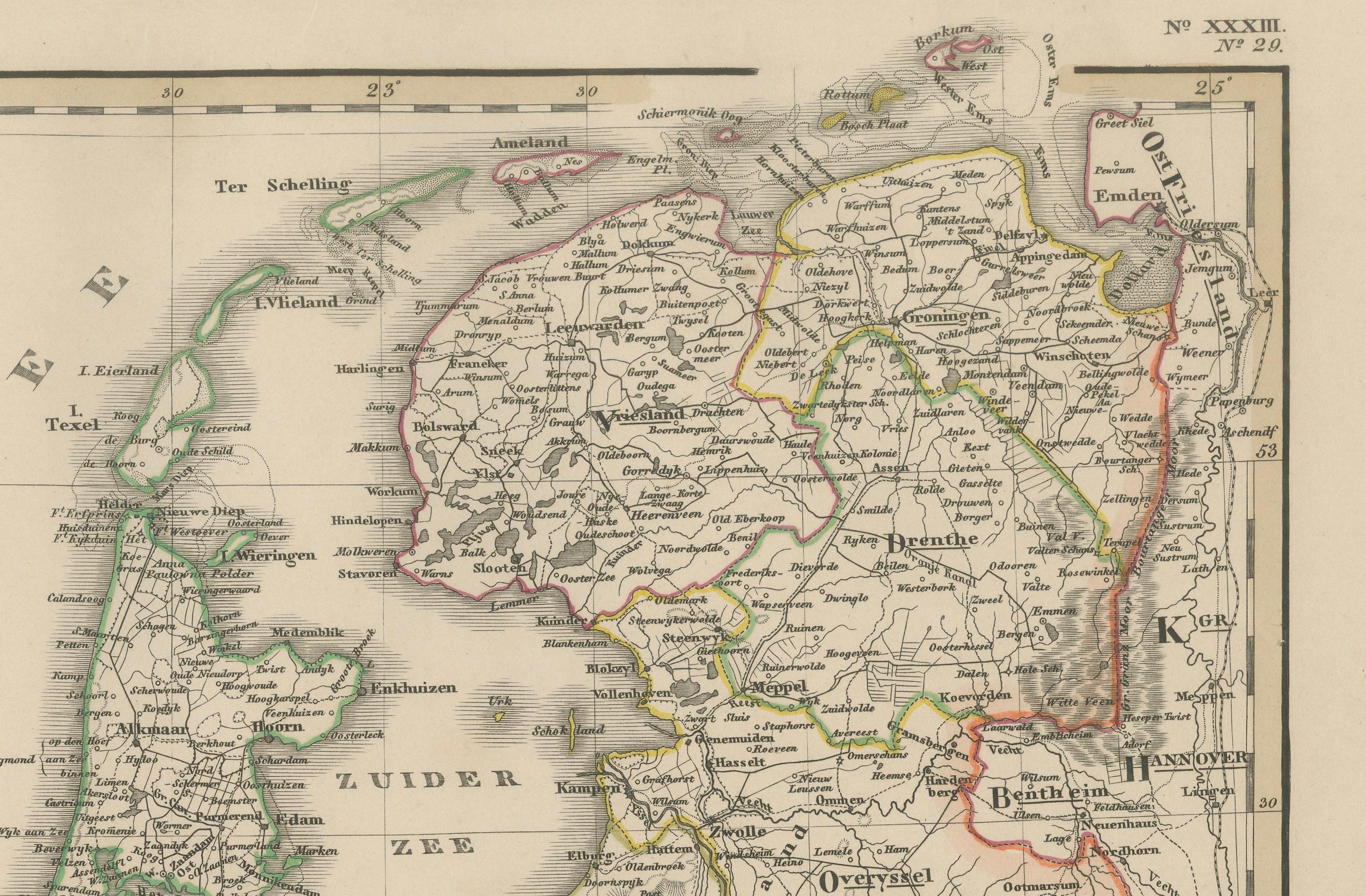
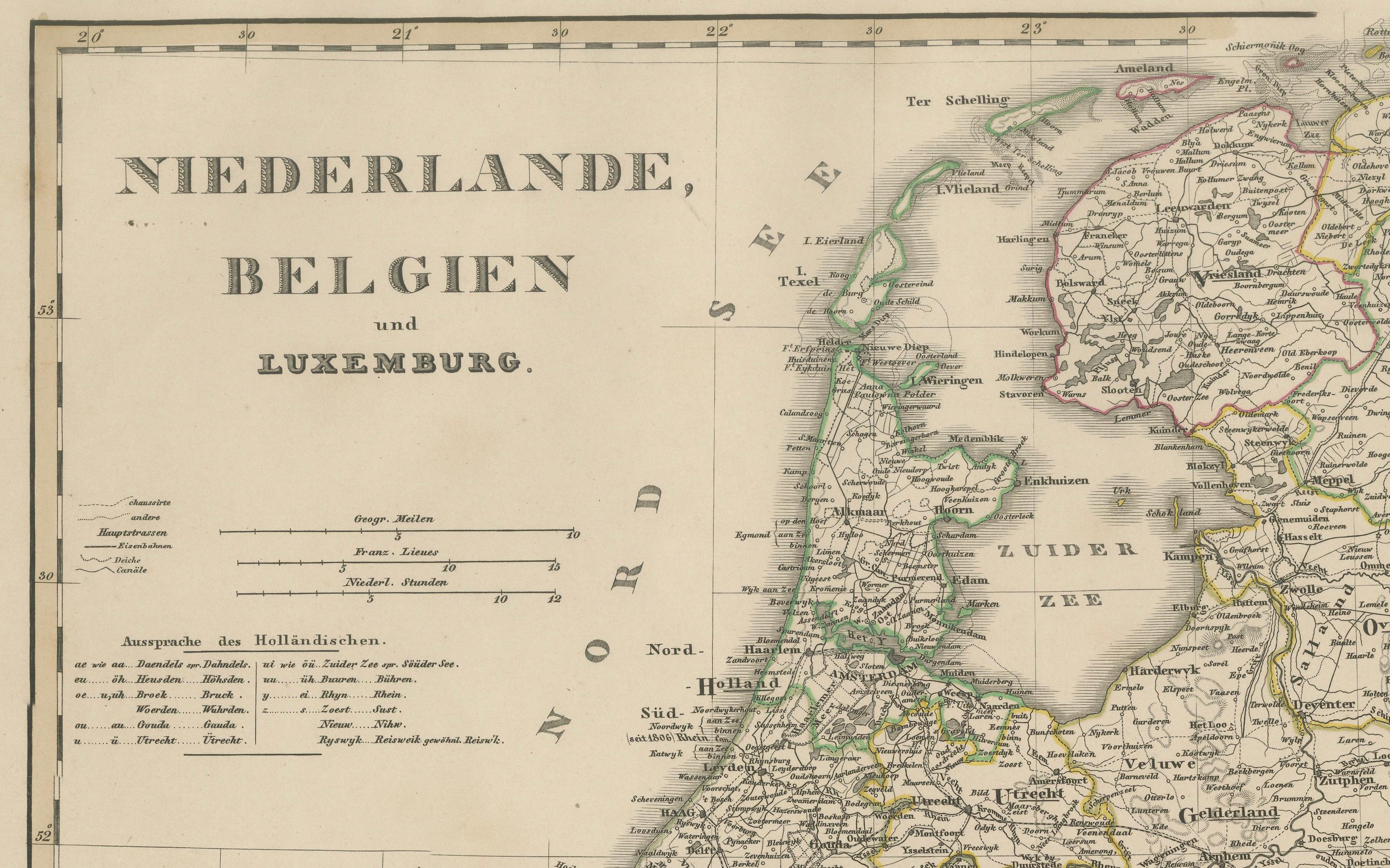
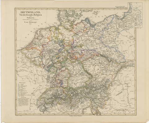
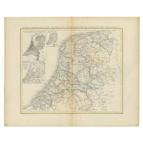
Antique map titled "Niederlande, Belgien und Luxemburg," published by Justus Perthes in Gotha in 1857. This finely engraved and hand-colored map presents a comprehensive view of the Low Countries in the mid-19th century, capturing the evolving political landscape of the Netherlands, the recently independent Kingdom of Belgium (1830), and the Grand Duchy of Luxembourg.
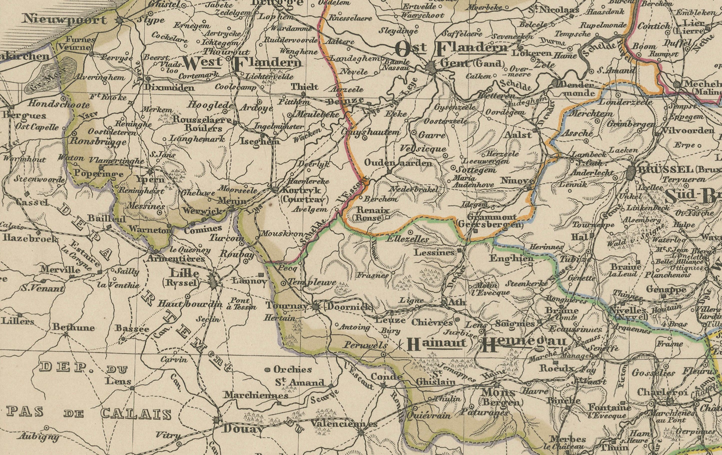
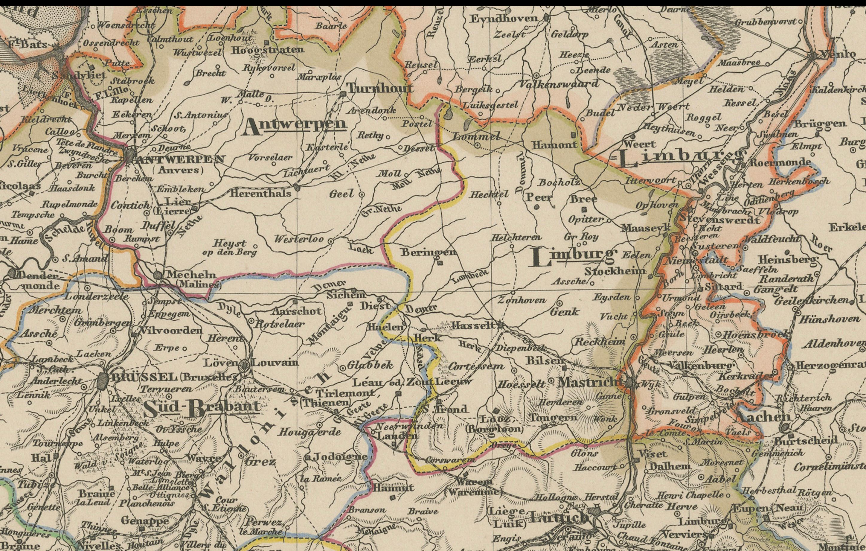
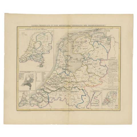
The map details all provincial divisions with delicate hand-applied color, highlighting major cities such as Amsterdam, Brussels, Antwerp, The Hague, Ghent, Liège, and Luxembourg. The Zuiderzee and North Sea coastlines are prominently featured, along with rivers, canals, roads, and early railways that shaped commerce and mobility in the region.
Topographical relief is rendered with precision, and a clear legend at the left provides information on scale and symbols. Each territory—Dutch, Belgian, and Luxembourgish—is bordered in color, reflecting its independent governance at the time. This edition reflects the period following Belgian independence and before major modern state boundary changes.
This piece is ideal for collectors of European history, Benelux cartography, or 19th-century political geography. The map stands out both for its geographic accuracy and its decorative appeal, suitable for framing and display.
Condition report:
Very good condition. Minor toning to outer margins. Hand-coloring remains vivid and clear. No tears, repairs, or foxing. Please inspect image carefully for full detail.
Framing suggestions:
We recommend a walnut or black wood frame with a soft ivory mat. A thin red, green, or gold inner accent line can be used to echo the border colors. Ideal for display in a library, office, or study.
Technique: Copperplate engraving with original hand-coloring
Maker: Justus Perthes, Gotha, 1857