About this sheet
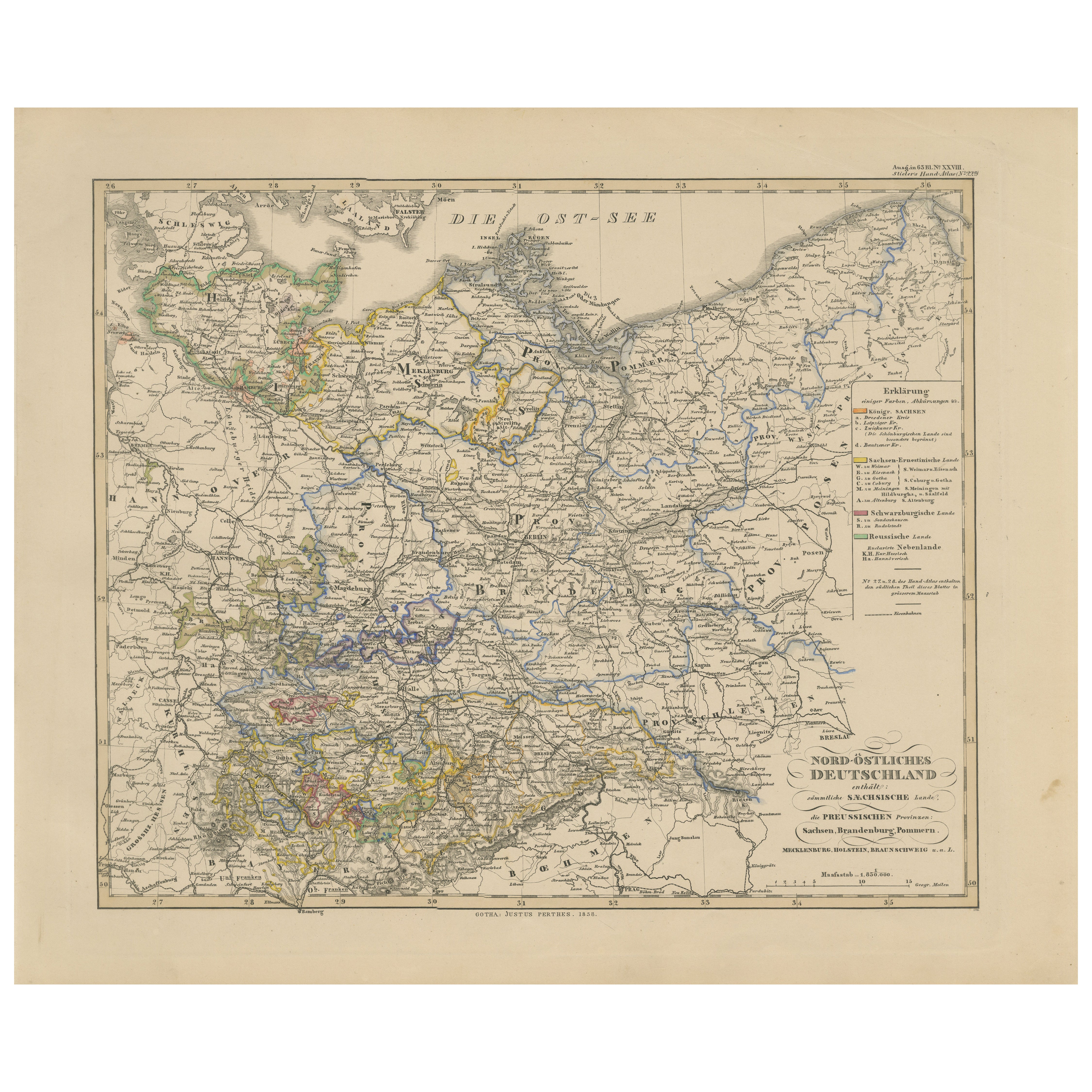
Antique Map of Northeastern Germany – Saxon & Prussian States, 1858
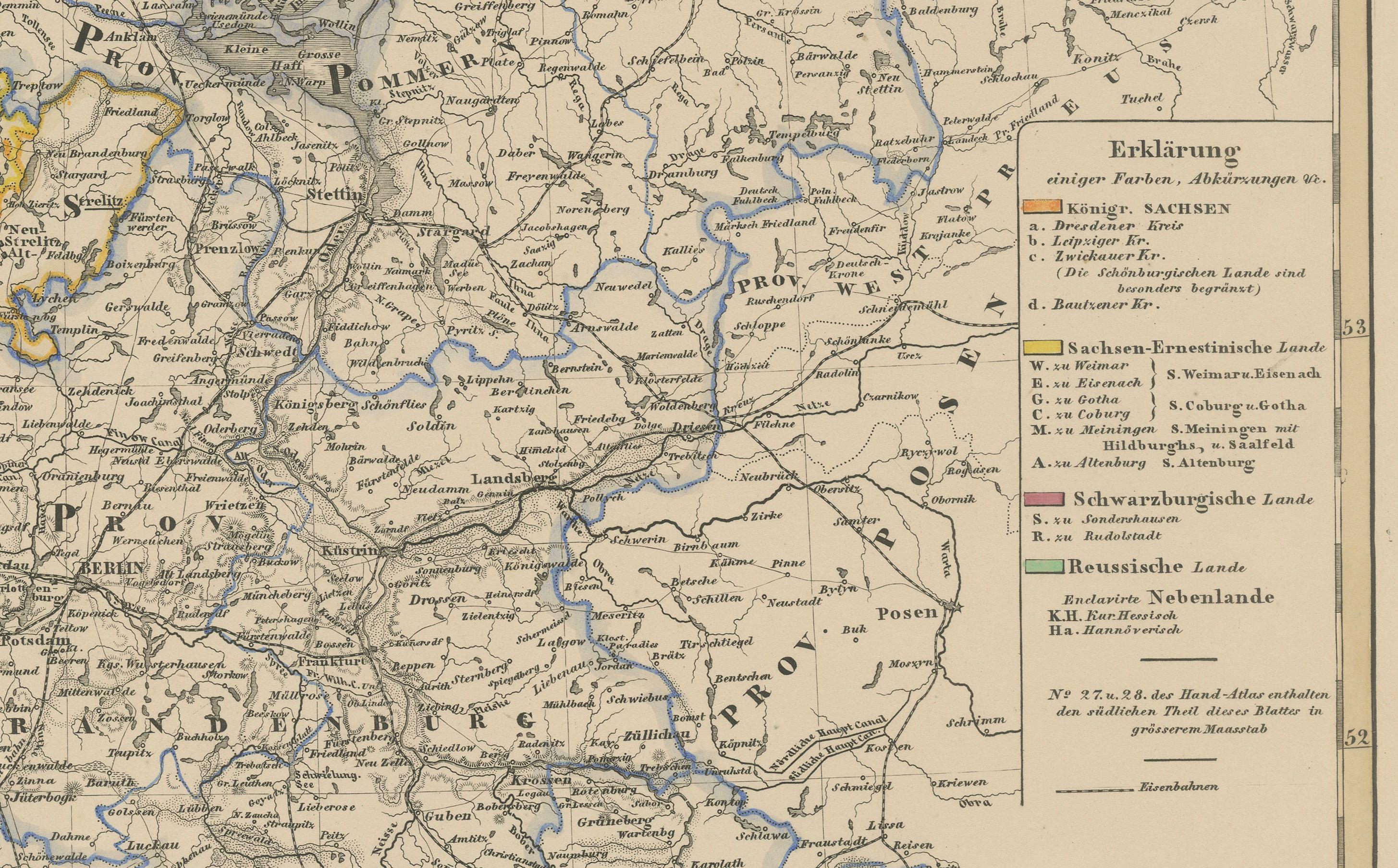
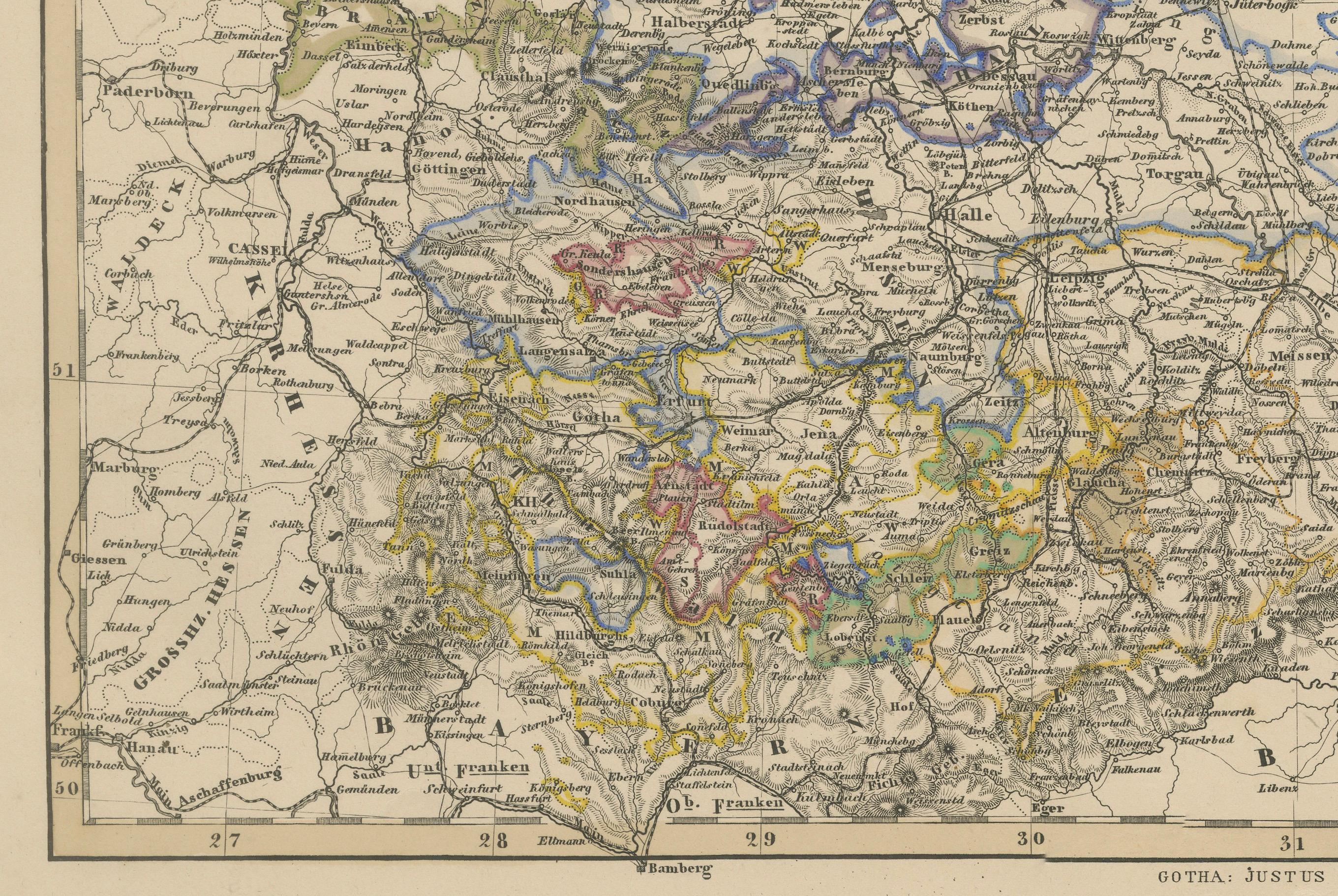
Detailed and finely engraved map titled "Nord-Östliches Deutschland enthaltend die Sächsischen Länder und die Preussischen Provinzen Sachsen, Brandenburg, Pommern...", published by Justus Perthes in Gotha in 1858. This large-format copperplate engraving offers a comprehensive view of northeastern Germany in the mid-19th century, just prior to unification.
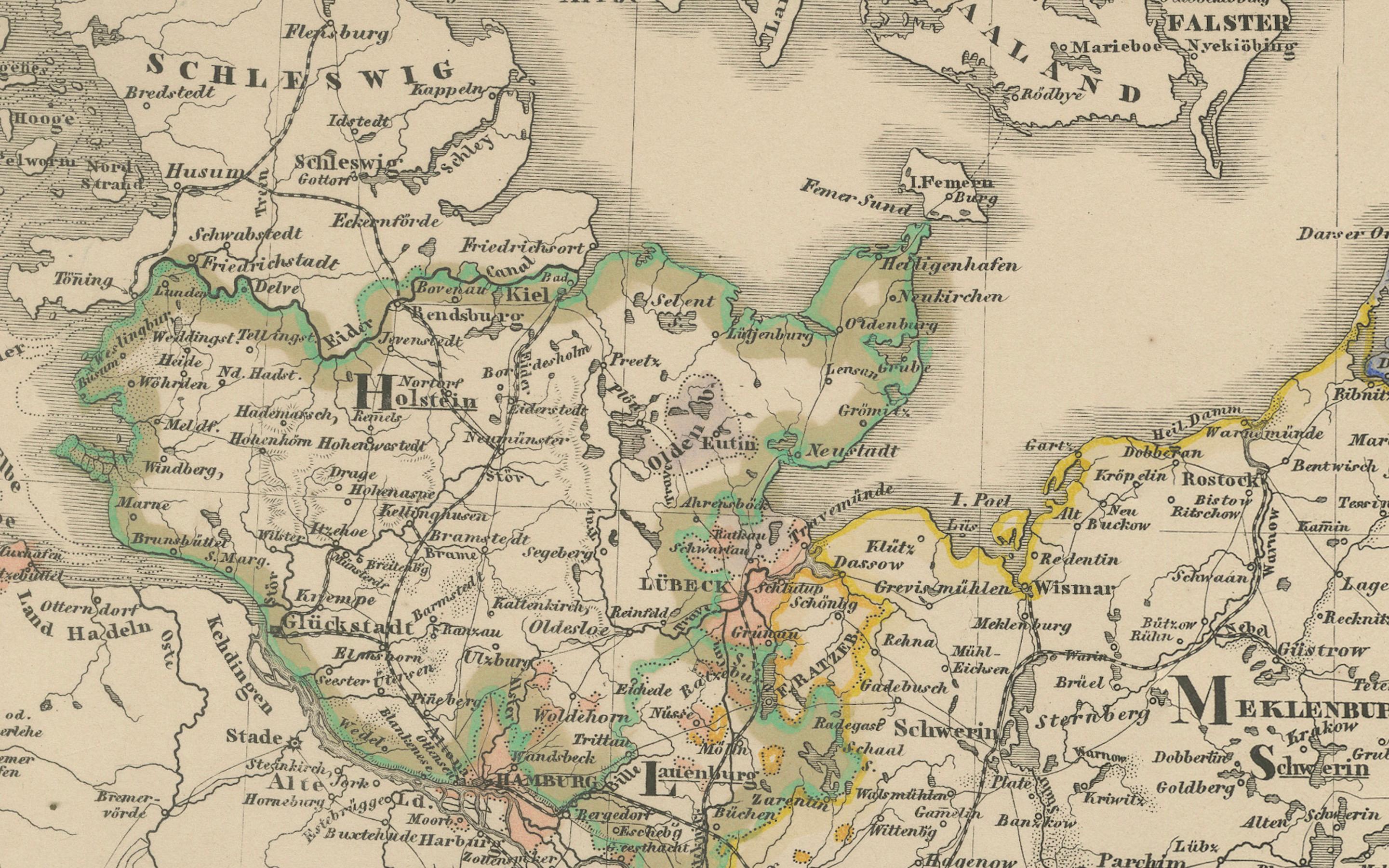
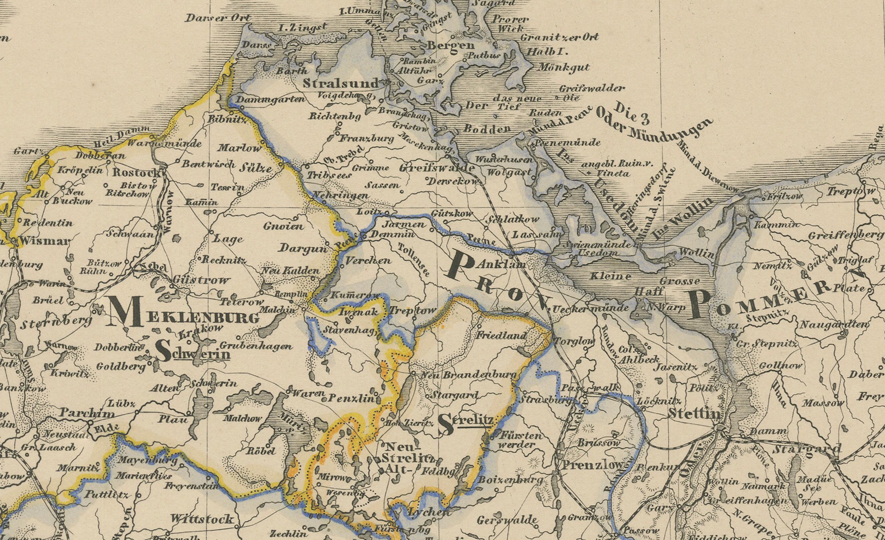
The map covers key Prussian provinces such as Brandenburg, Saxony, and Pomerania, as well as Mecklenburg-Schwerin, Mecklenburg-Strelitz, Brunswick, and parts of Hanover, Hamburg, and Schleswig-Holstein. The Baltic Sea (Ostsee) borders the map to the north, with major port cities like Stettin (Szczecin), Danzig (Gdańsk), and Königsberg (Kaliningrad) indicated.
Each territory is outlined in delicate hand-applied color, corresponding to the key at right which classifies the lands by political status—e.g., Königreich (kingdoms), Großherzogthümer (grand duchies), Herzogthümer (duchies), and Freie Städte (free cities). Rivers, roads, and cities are densely plotted, and topographical shading shows elevations, especially in Saxony and Silesia.
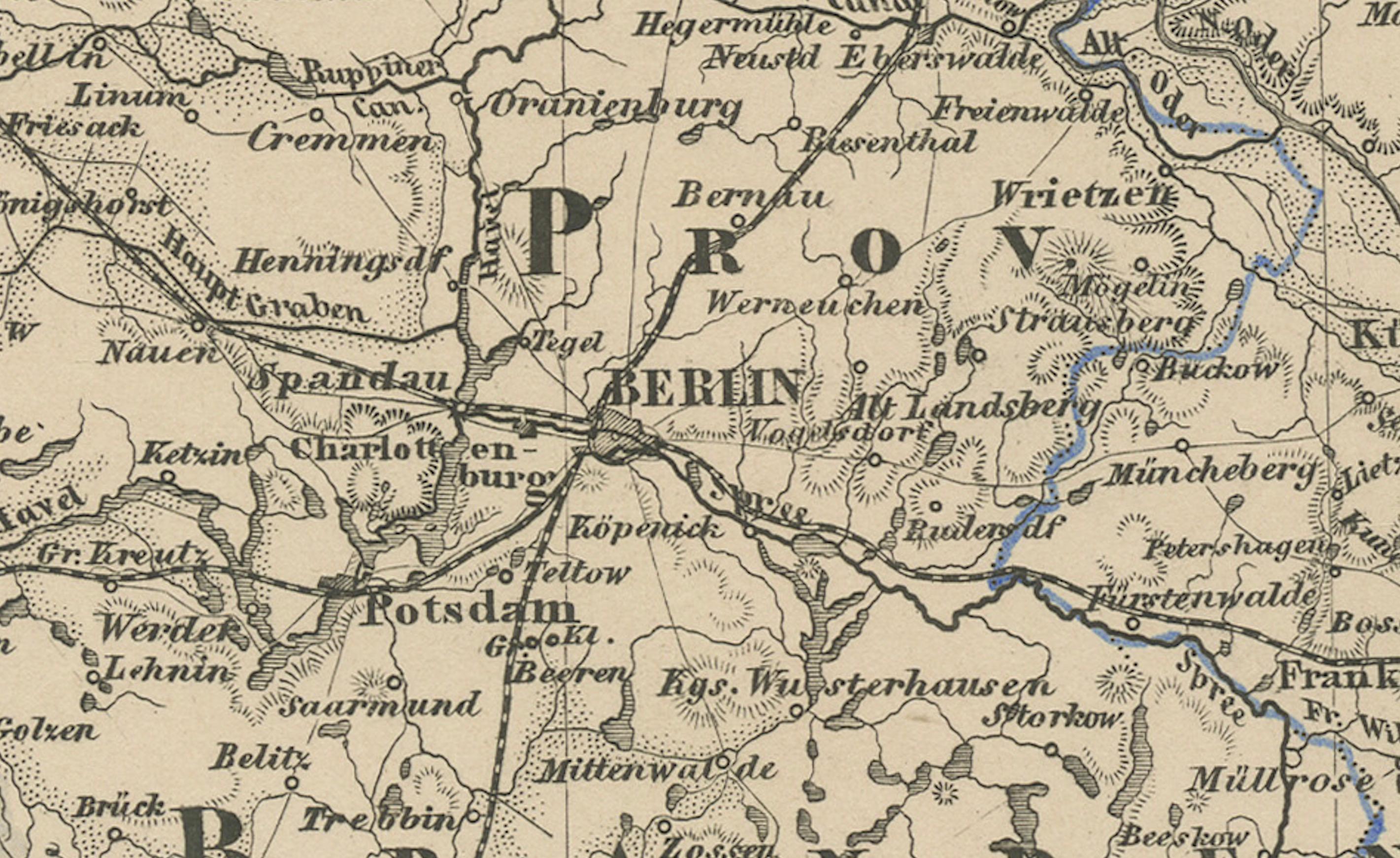
Notable cities include Berlin, Dresden, Leipzig, Magdeburg, Breslau (Wrocław), and Stettin, forming a web of political, cultural, and industrial influence that would later form the core of the German Empire.
This map is not only cartographically beautiful but also historically significant, capturing the pre-unification German landscape in rich administrative and geographical detail. Ideal for historians, map collectors, and those with ancestry in northern or eastern Germany.
Condition report:
Good condition. Minor toning in outer margins. No tears or repairs. Original hand-coloring well-preserved. Please examine the image closely for specifics.
Framing tips:
Consider a medium-dark wood frame (walnut or ebony) with an ivory mat. A thin inner line in Prussian blue or red could echo the map’s regional outlines. Suitable for academic, genealogical, or historical interiors.
Technique: Copperplate engraving with original hand-coloring
Maker: Justus Perthes, Gotha, 1858