About this sheet
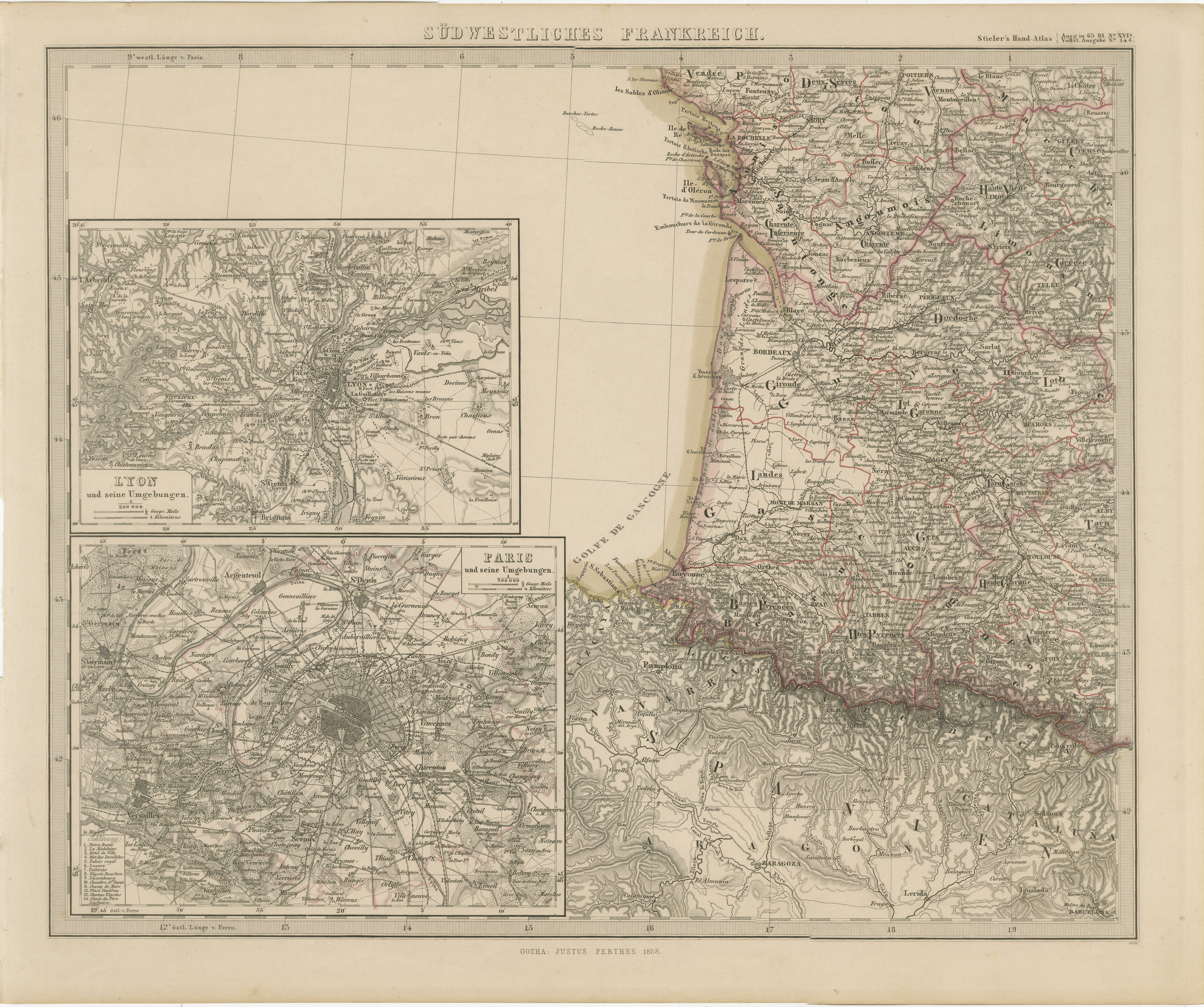
Antique Map of Southwestern France – With Insets of Paris & Lyon, 1858
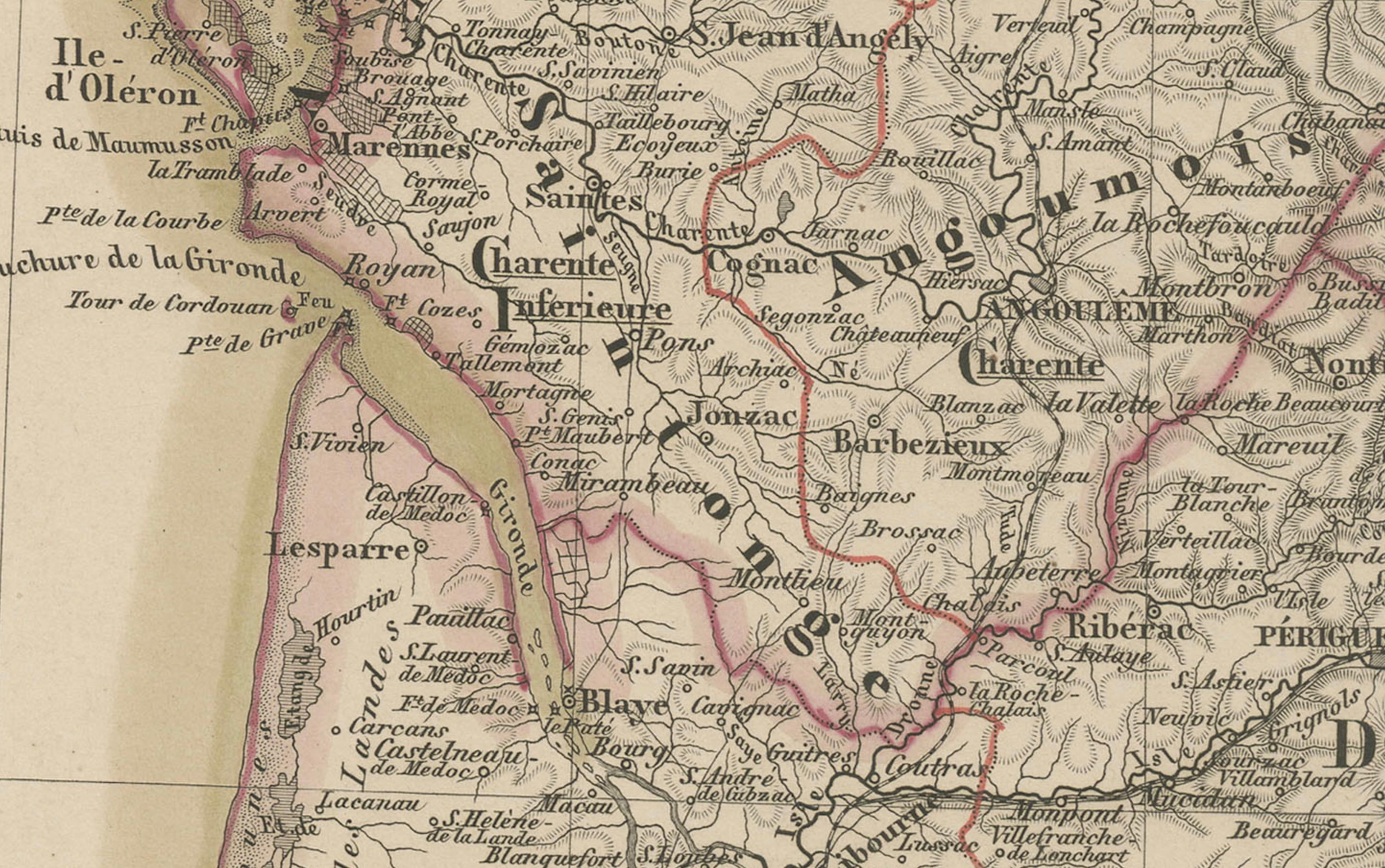
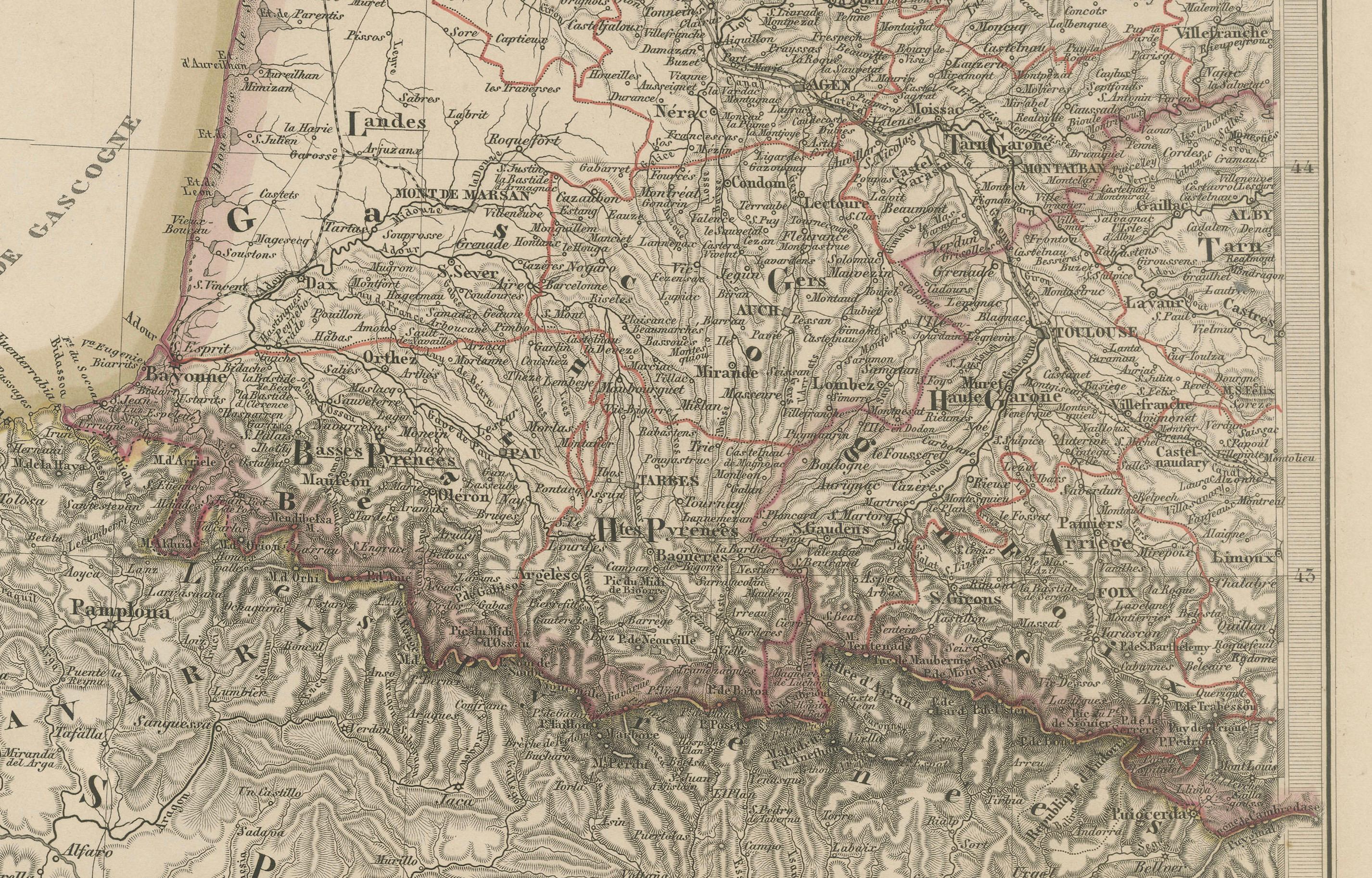
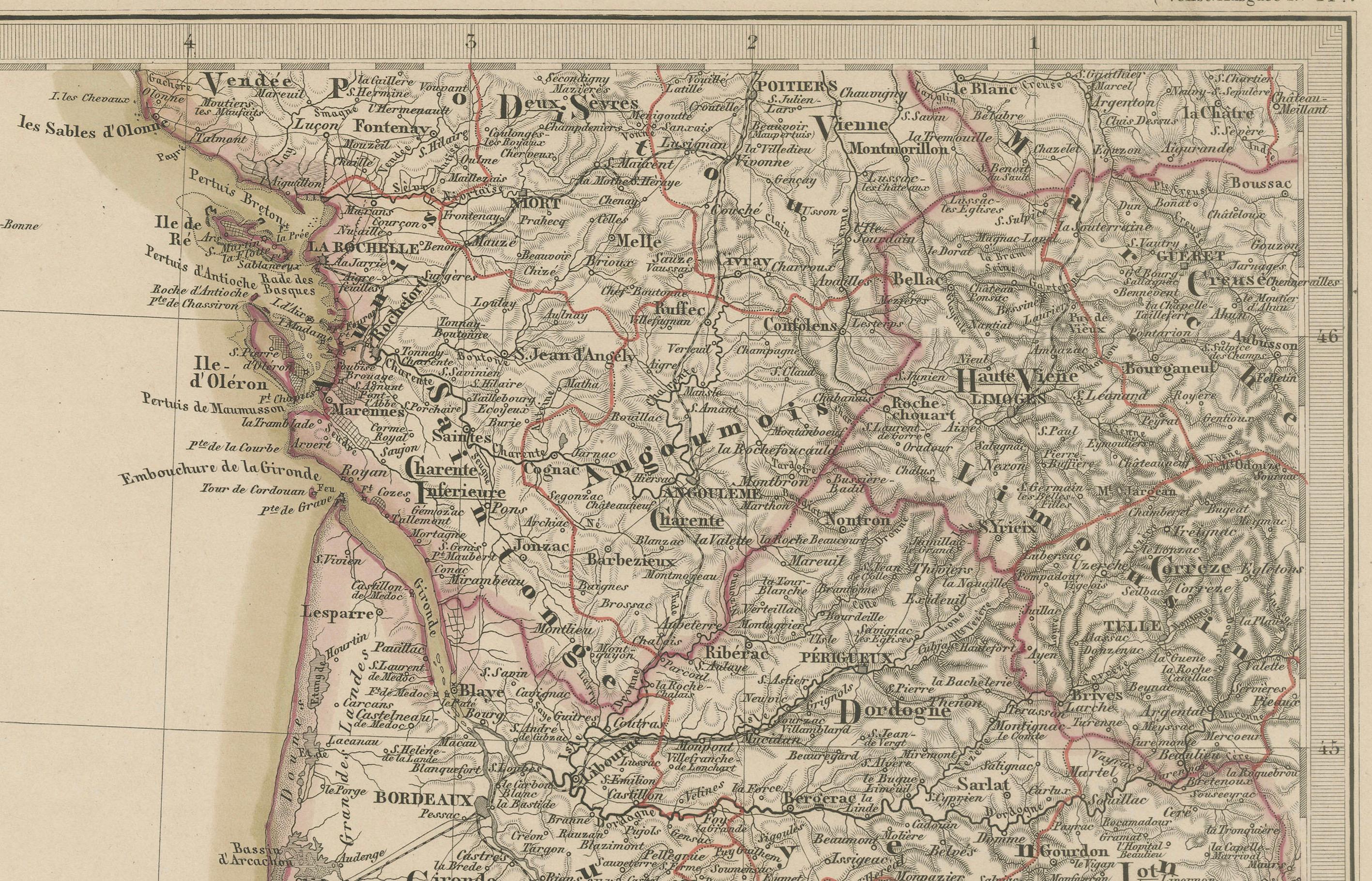
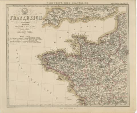
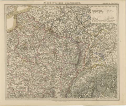
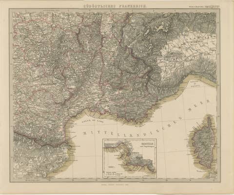
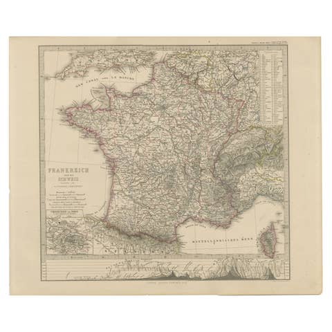
Detailed copperplate map of "Südwestliches Frankreich" (Southwestern France), created by Friedrich von Stülpnagel and published by Justus Perthes in Gotha in 1858. This map is part of a four-sheet series of France and offers a detailed depiction of the southwestern regions along the Atlantic coast, including Aquitaine, Gascony, and parts of the Pyrenees, extending to the Spanish border.
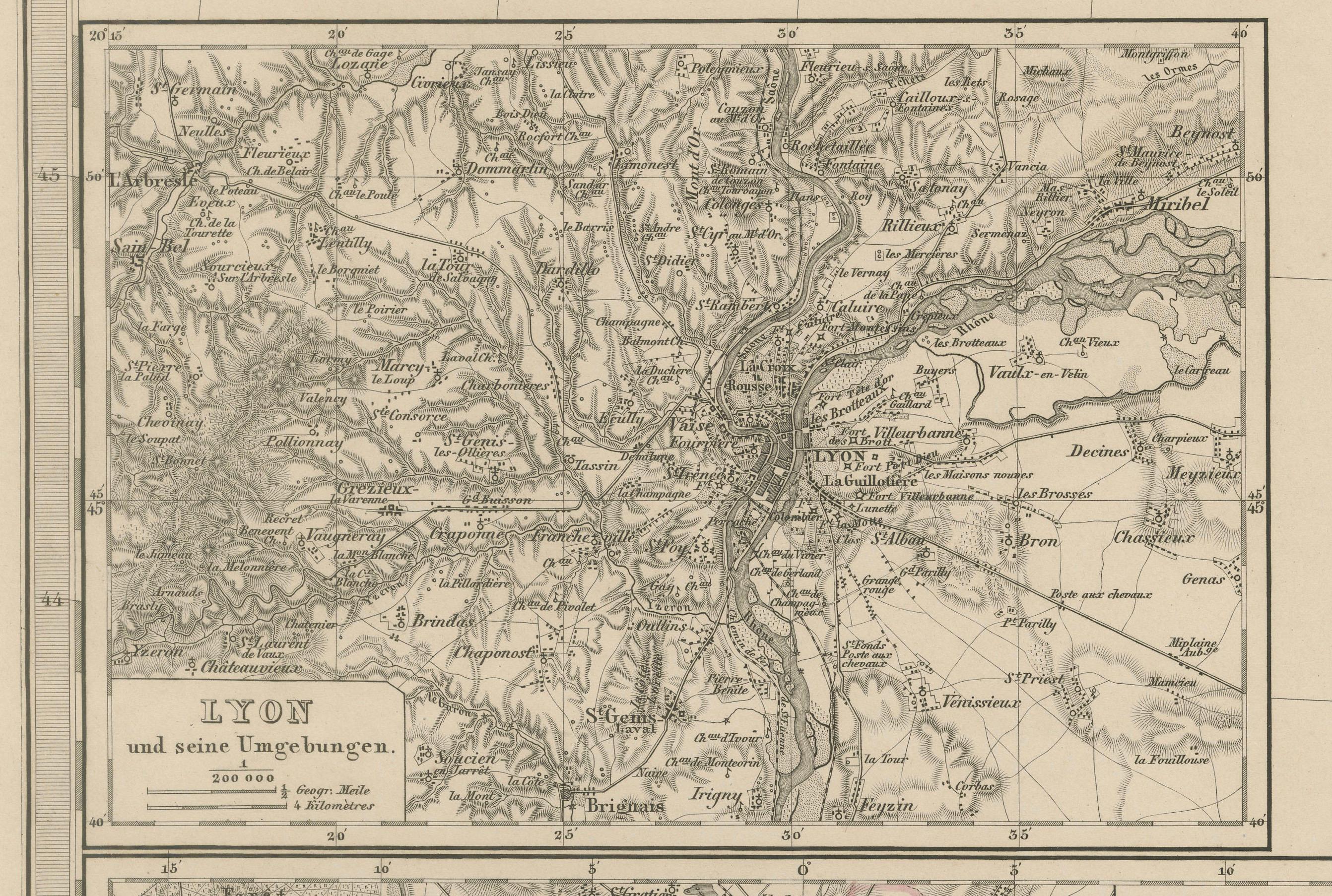
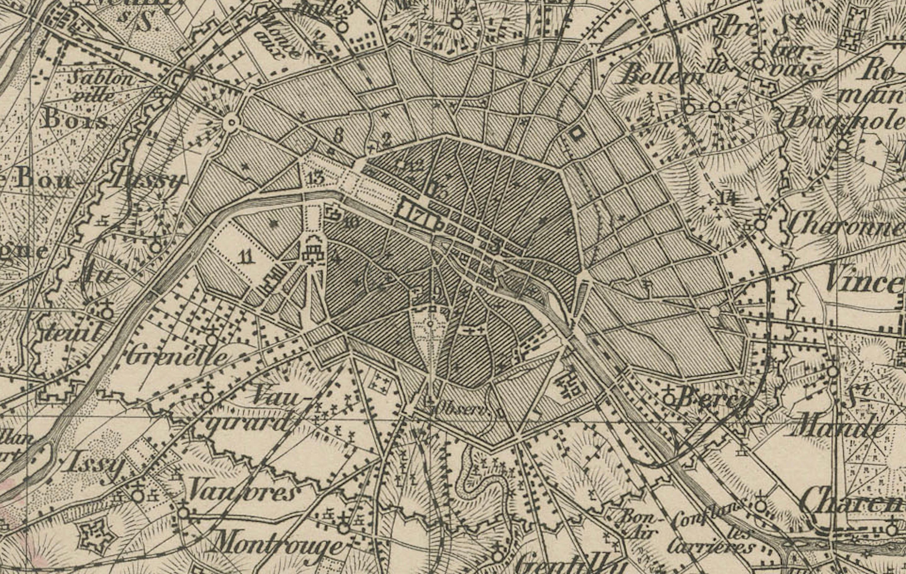
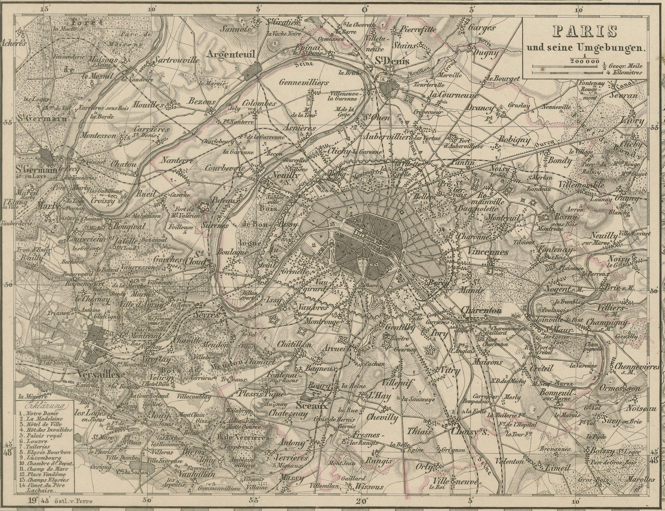
One of the unique features of this map is the inclusion of two finely engraved insets:
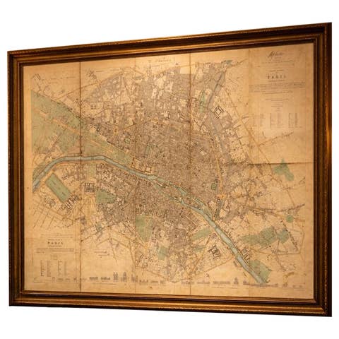
– "Paris und seine Umgebungen" – a highly detailed street and suburb plan of Paris and its surroundings, capturing the city layout just before Haussmann’s large-scale renovation.
– "Lyon und seine Umgebungen" – a topographical and infrastructural depiction of Lyon and the Rhône valley.
The main map section features cities such as Bordeaux, Pau, Bayonne, and Limoges, along with smaller towns and villages, rivers, roads, and mountain ranges. Departmental borders are delicately hand-colored in red. The topography of the Pyrenees is shown in great relief, emphasizing the region’s dramatic geography.
This map was engraved to a high standard typical of the Justus Perthes cartographic school and demonstrates both political and natural geography. It is of special interest for collectors of French regional maps and 19th-century urban planning, especially given the double inset focus on two of France’s most important cities.
Condition report:
Very good condition. Light age-related toning to outer margins. No tears or repairs. Insets clean and finely detailed. Original hand-coloring remains crisp.
Framing tips:
This piece would be well-complemented by a medium-to-dark wood frame with a neutral mat in ivory or sand tone. The inset city plans make it especially appealing for display in a study, office, or urban-themed collection. A double mat could highlight both the regional and urban elements effectively.
Technique: Copperplate engraving with original hand-coloring
Maker: F. von Stülpnagel, published by Justus Perthes, Gotha, 1858