1856 France and Switzerland Map with Mountain Profiles
€ 390
One of a kind: this is the sheet in the photographs. Ships from Langweer, the Netherlands.
Date
1856
Sheet size
37.5 × 45.4 cm (14.8 × 17.9 in)
Condition
Good
Reference
BG-05552-14
Condition
Very good condition overall. Strong plate mark and rich, original hand-coloring. Light age-related toning and minor foxing in the margins. No tears or repairs. Please examine the image carefully for condition details.
About this sheet
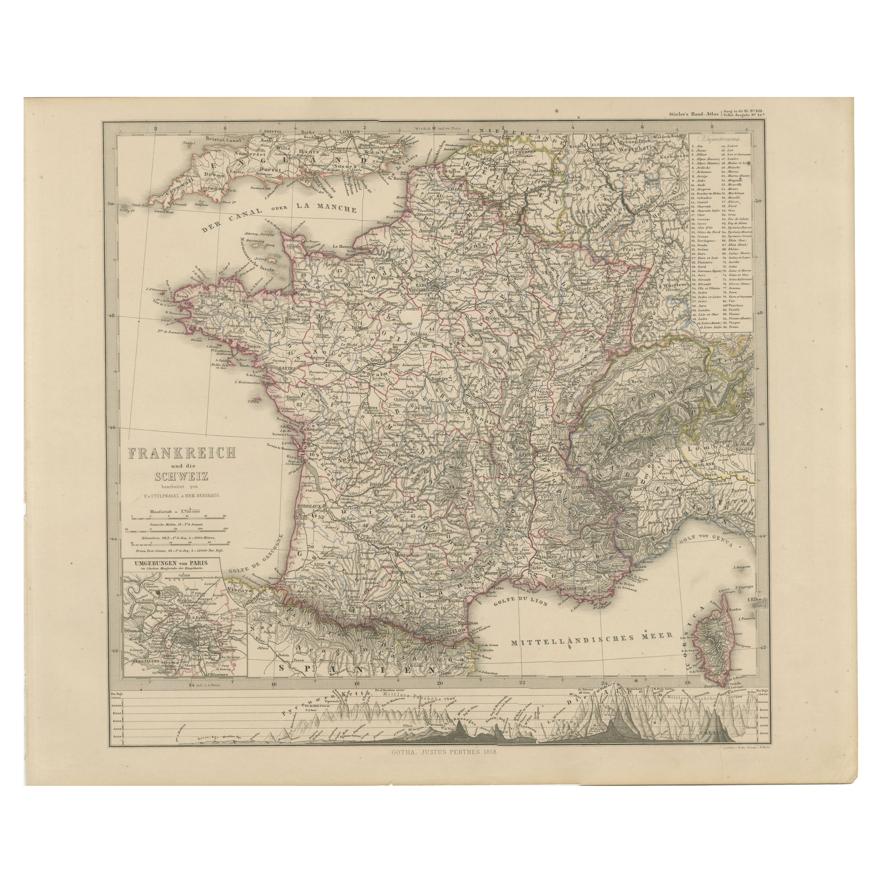
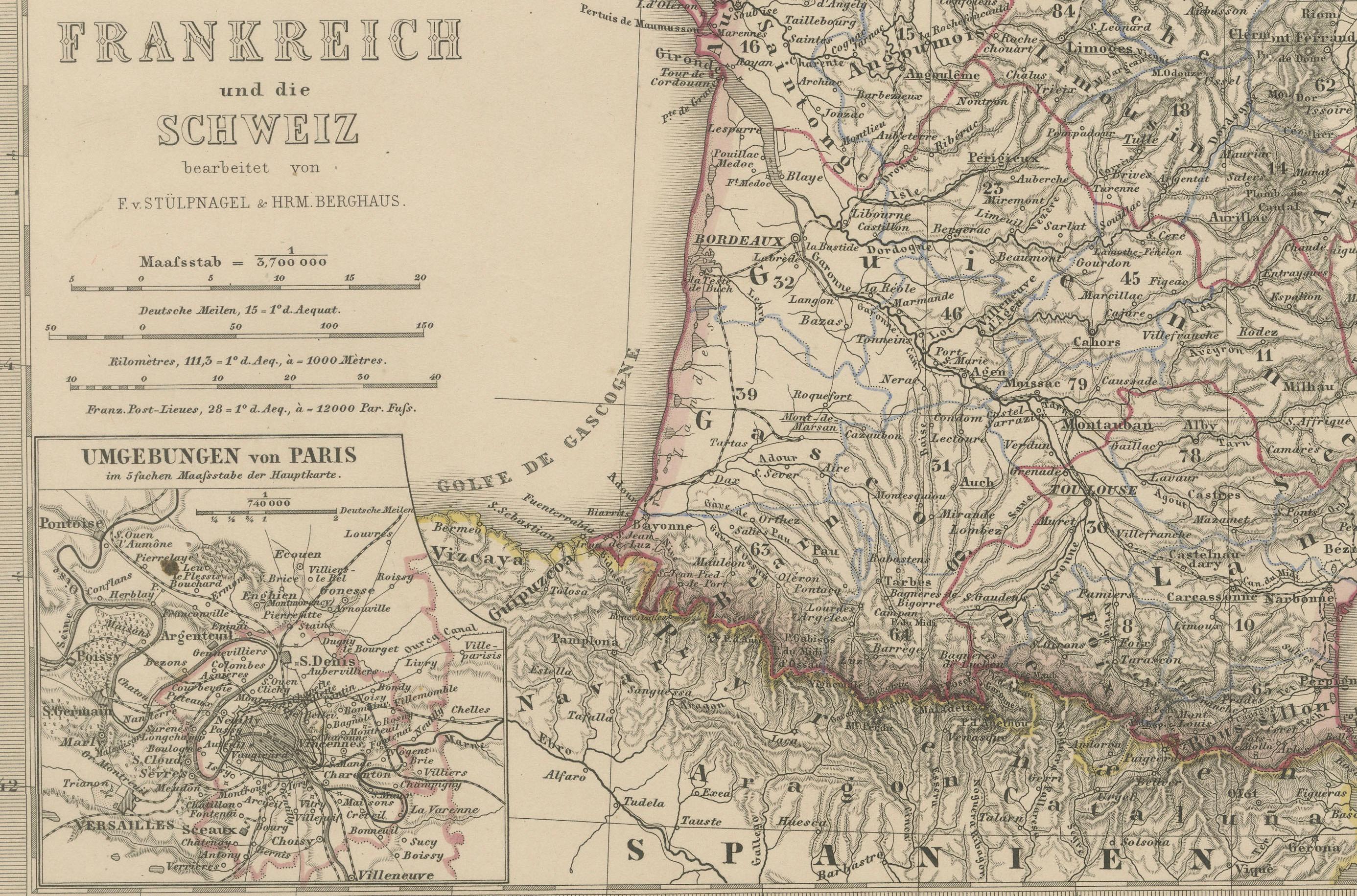
1856 Map of France and Switzerland with Paris Inset by Stülpnagel
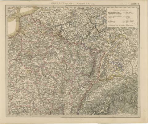
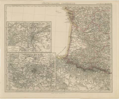
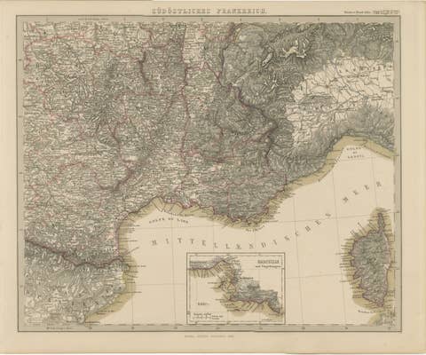
This finely detailed antique map of France and Switzerland was published in 1856 by the esteemed German cartographer Freiherr von Stülpnagel and printed by Justus Perthes in Gotha. The map, titled “Frankreich und die Schweiz,” is a superb example of mid-19th-century European cartography, combining scientific accuracy with elegant design.
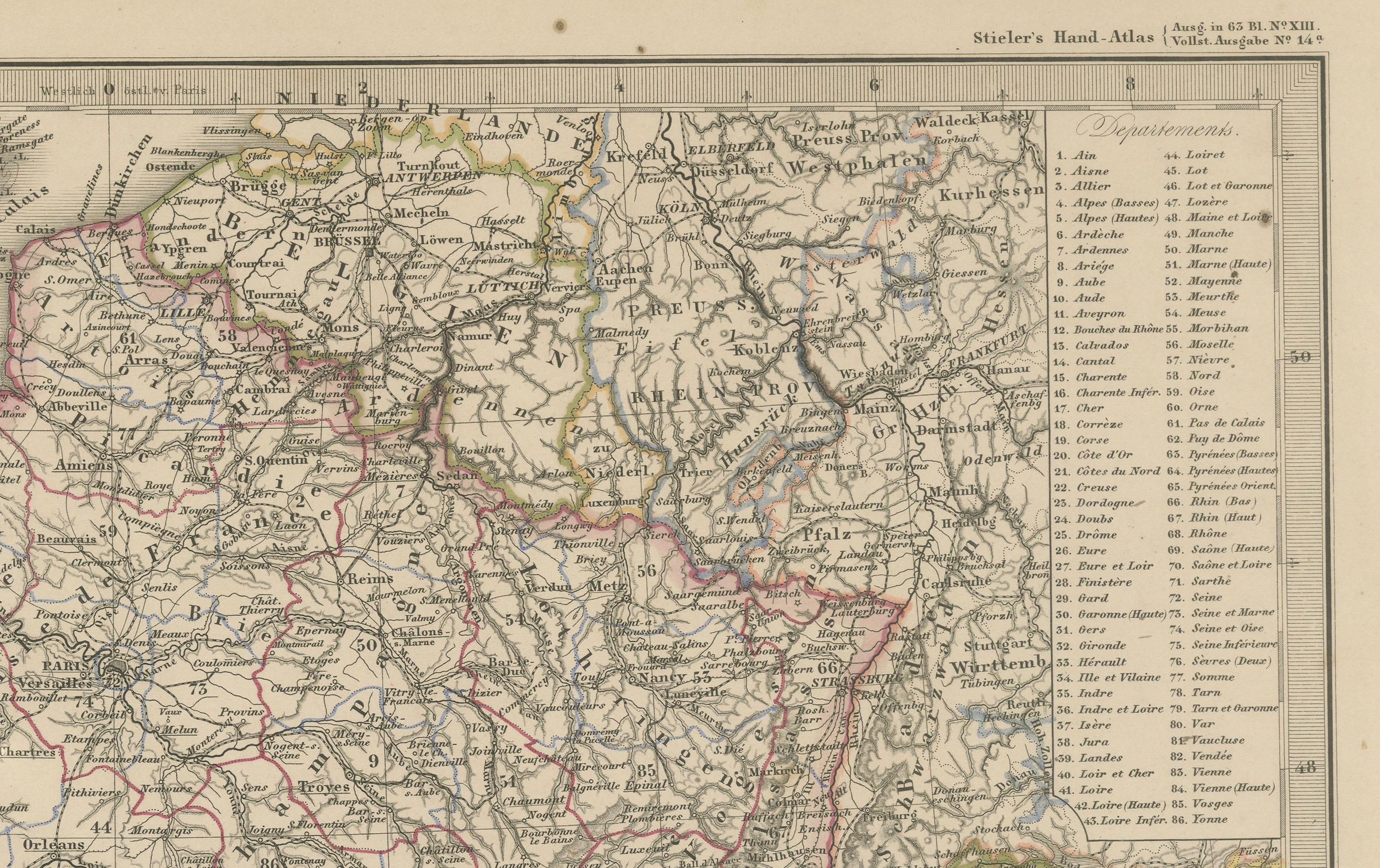
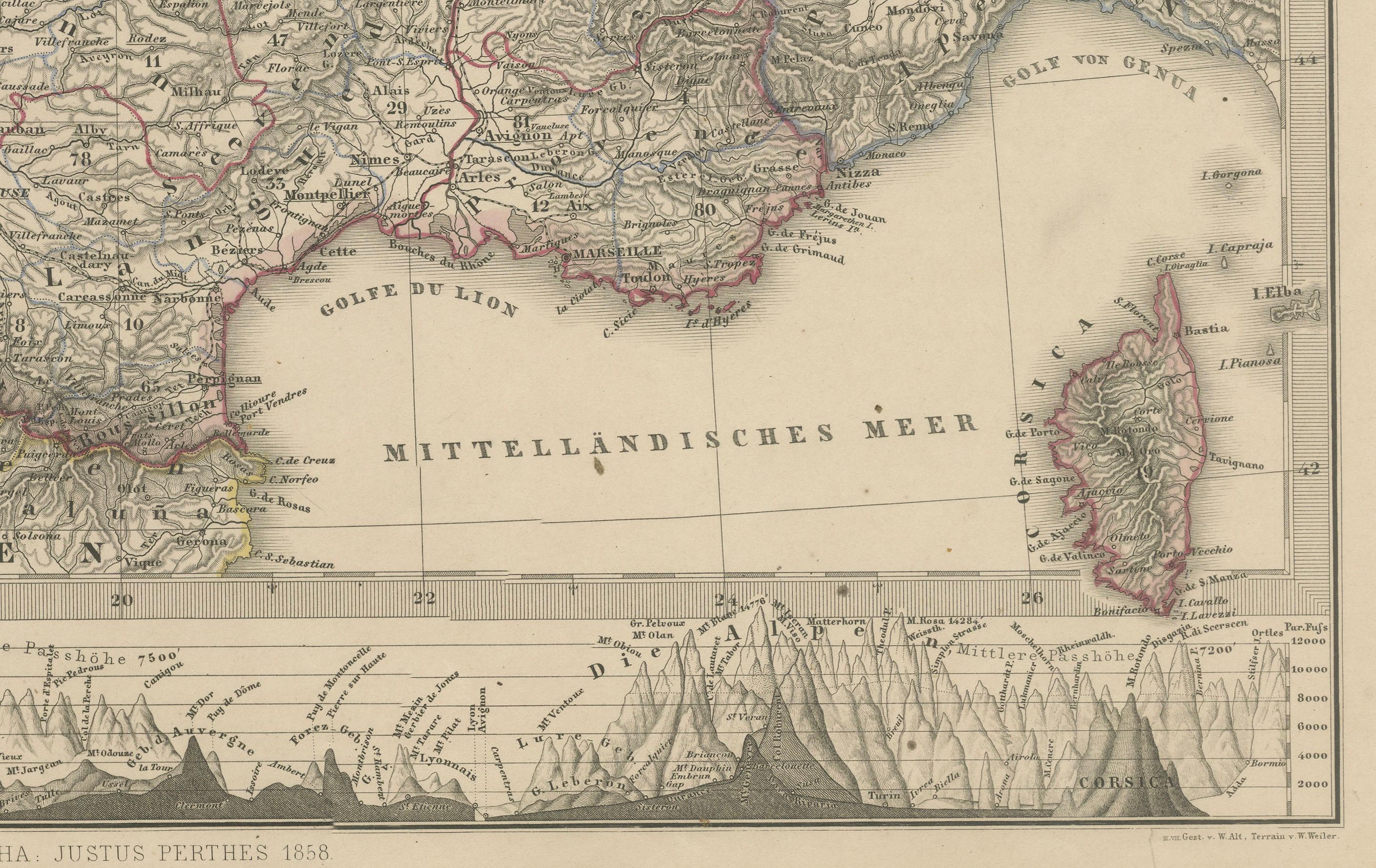
The map depicts France in its entirety, from the English Channel (“Der Canal oder La Manche”) in the north to the Mediterranean coastline in the south, and from the Bay of Biscay in the west to the alpine regions of Switzerland and western Italy in the east. Each French department is clearly delineated with hand-colored borders, and major cities, rivers, and mountain ranges are carefully labeled. The Swiss cantons are also defined, and the rugged terrain of the Alps is rendered with considerable topographical detail.
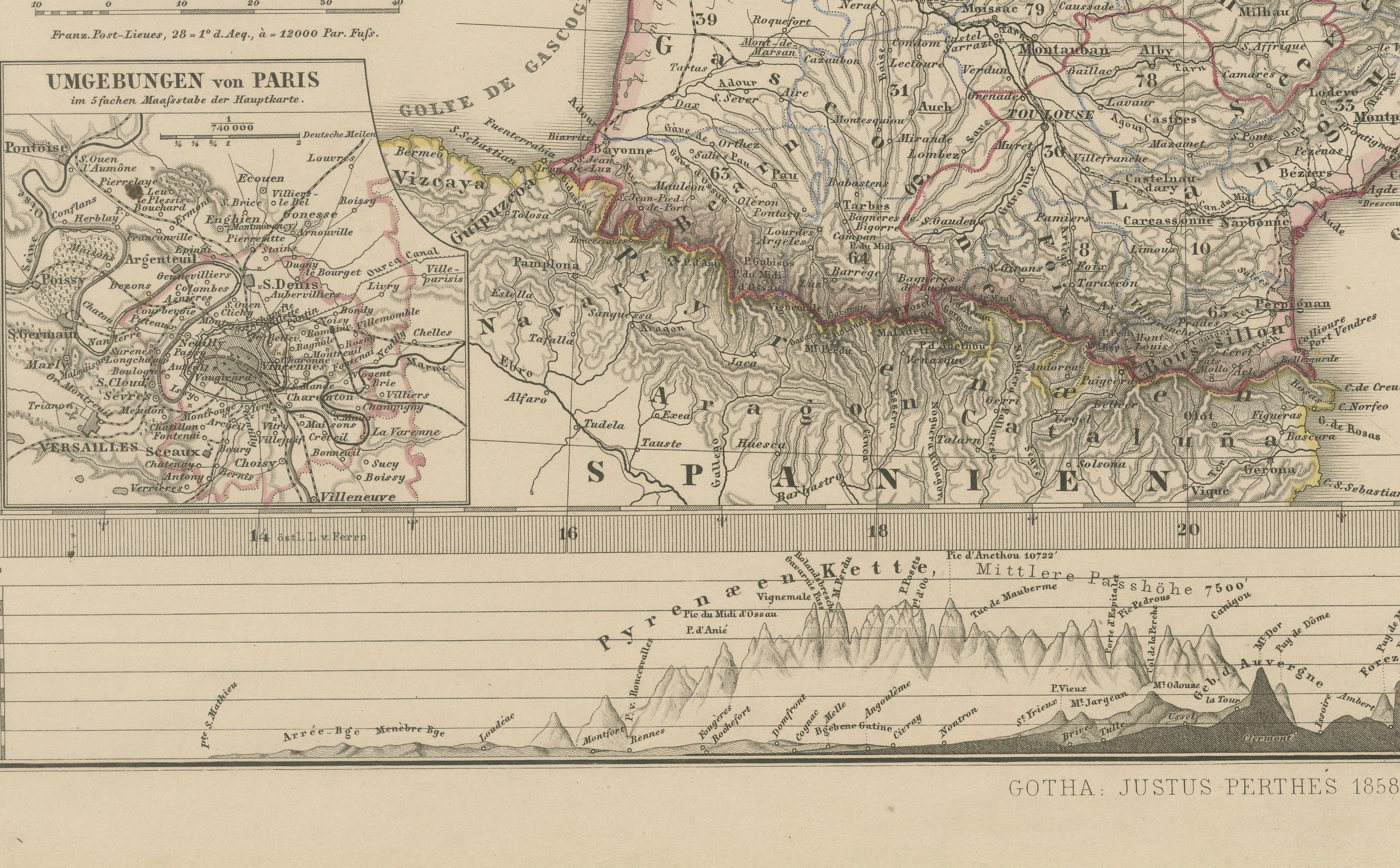
A notable feature of the map is the inset at the lower left, titled “Umgebungen von Paris,” which offers an enlarged view of the Paris region and its surrounding communes. This inset provides valuable insight into the infrastructure and geography around the French capital during the mid-1800s. At the bottom of the sheet is a cross-sectional elevation profile showing the mountainous regions of southern France, offering a rare visual representation of elevation within a political map.
This map reflects the precision and clarity for which Stülpnagel and the Justus Perthes publishing house were known. It serves not only as a geographic reference but also as a historical document, capturing France and Switzerland in the period just prior to the major territorial and political shifts of the late 19th century.
Condition report: Very good condition overall. Strong plate mark and rich, original hand-coloring. Light age-related toning and minor foxing in the margins. No tears or repairs. Please examine the image carefully for condition details.
Framing tips: This map would look exceptional in a classic black or gold frame with a wide ivory or cream-colored mat. For a more modern interior, a slim walnut frame could provide a balanced contrast to the antique tones.
Technique: Engraving with original hand-coloring Maker: Freiherr F. von Stülpnagel, published by Justus Perthes, Gotha, 1856