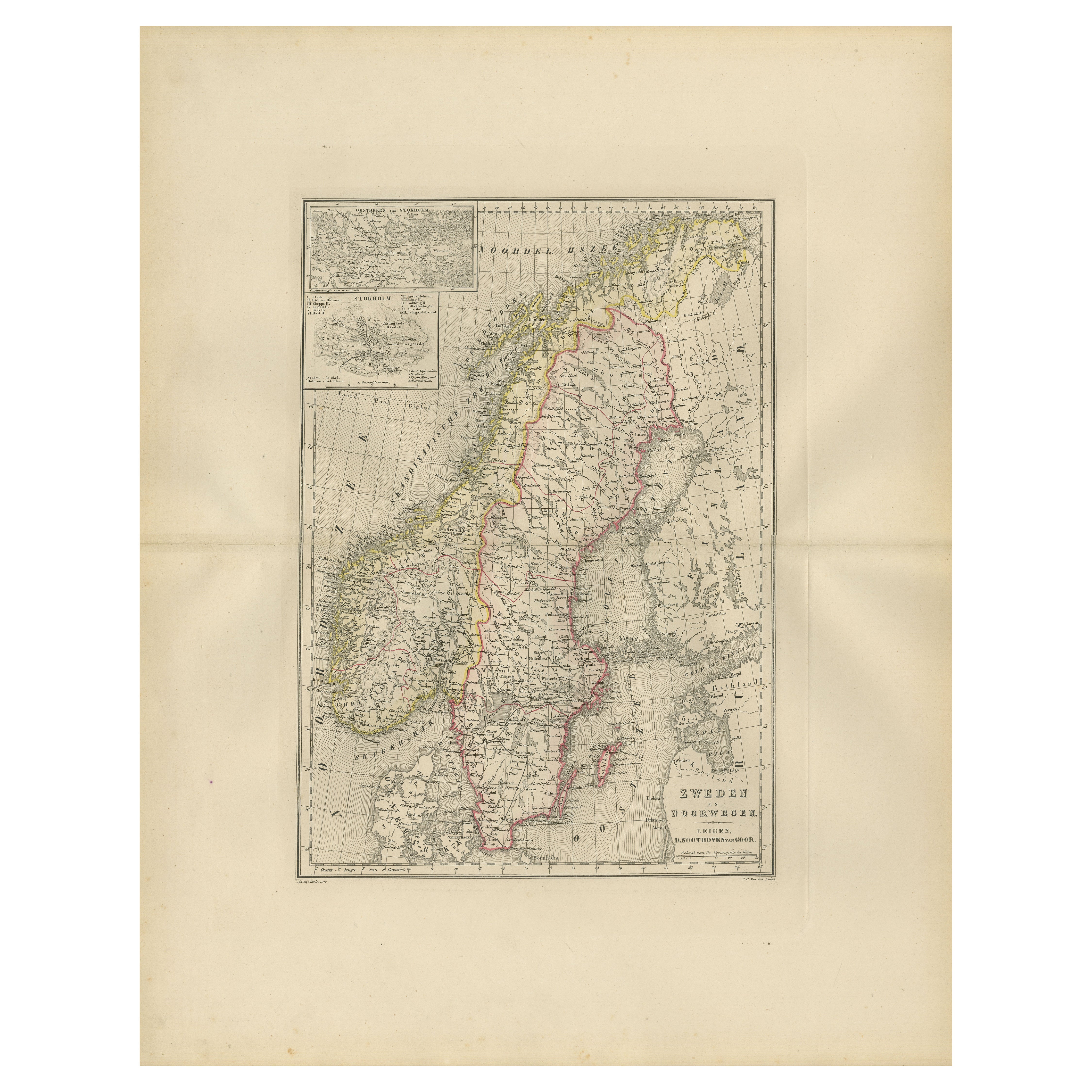
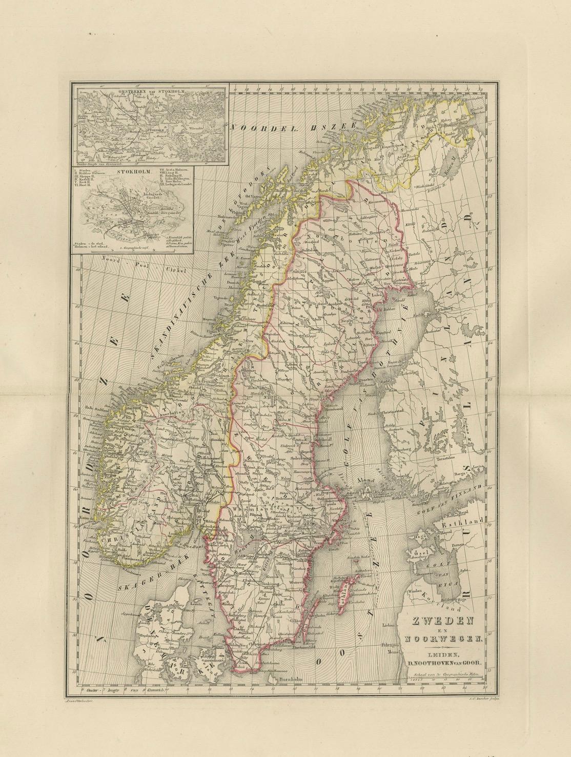
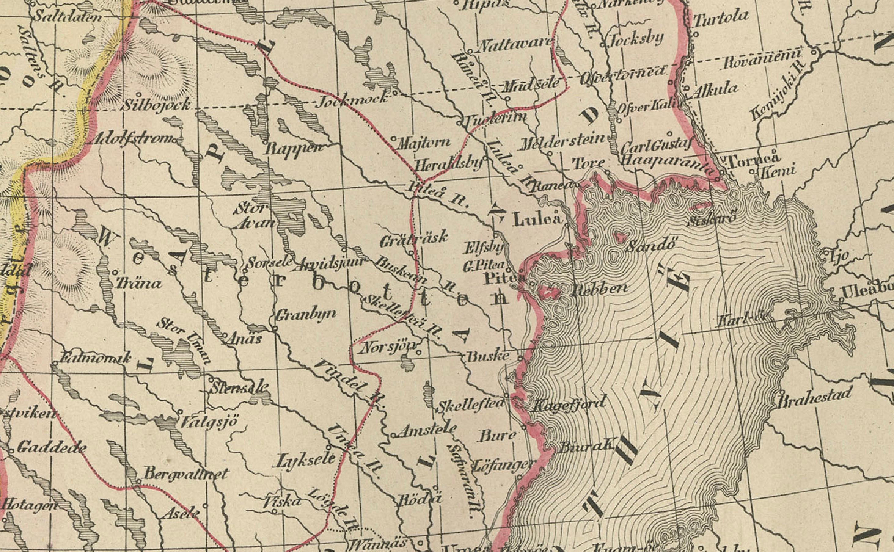
Map of Sweden and Norway with Inset of Stockholm, Leiden 1876
€ 320
One of a kind: this is the sheet in the photographs. Ships from Langweer, the Netherlands.
Date
1876
Sheet size
55 × 44 cm (21.7 × 17.3 in)
Condition
Good
Reference
BG-12788-11
Condition
Good condition with even toning and minor foxing in the wide margins. Original center fold as issued. The printed image is sharp and the hand-coloring remains soft and harmonious. No tears, losses, or repairs.
About this sheet
This fine 19th-century Dutch map, titled “Zweden en Noorwegen,” was published in 1876 in the Nieuwe Hand-Atlas der Aarde in haren Tegenwoordigen Toestand by M. Frijlink, revised by A. van Otterloo, and printed by D. Noothoven van Goor in Leiden. The map presents a clear and elegant representation of Scandinavia, covering the kingdoms of Sweden and Norway in their 19th-century political configuration, when both nations were united under a single monarch.
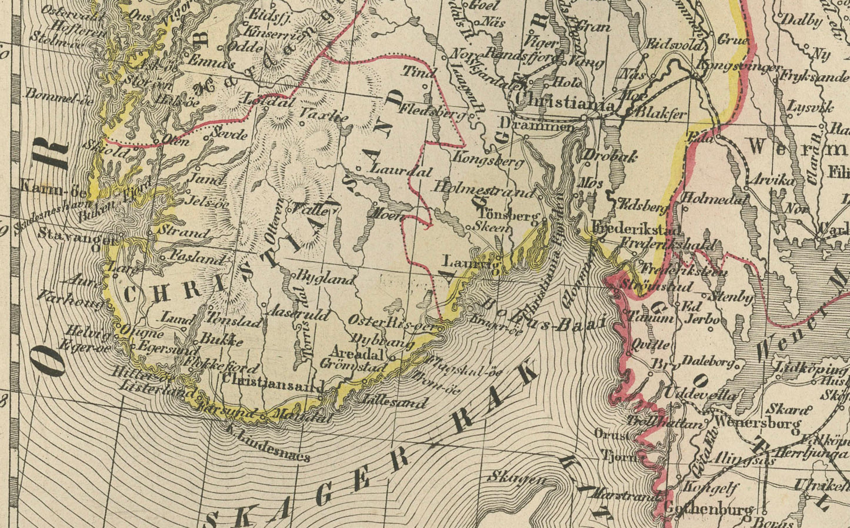
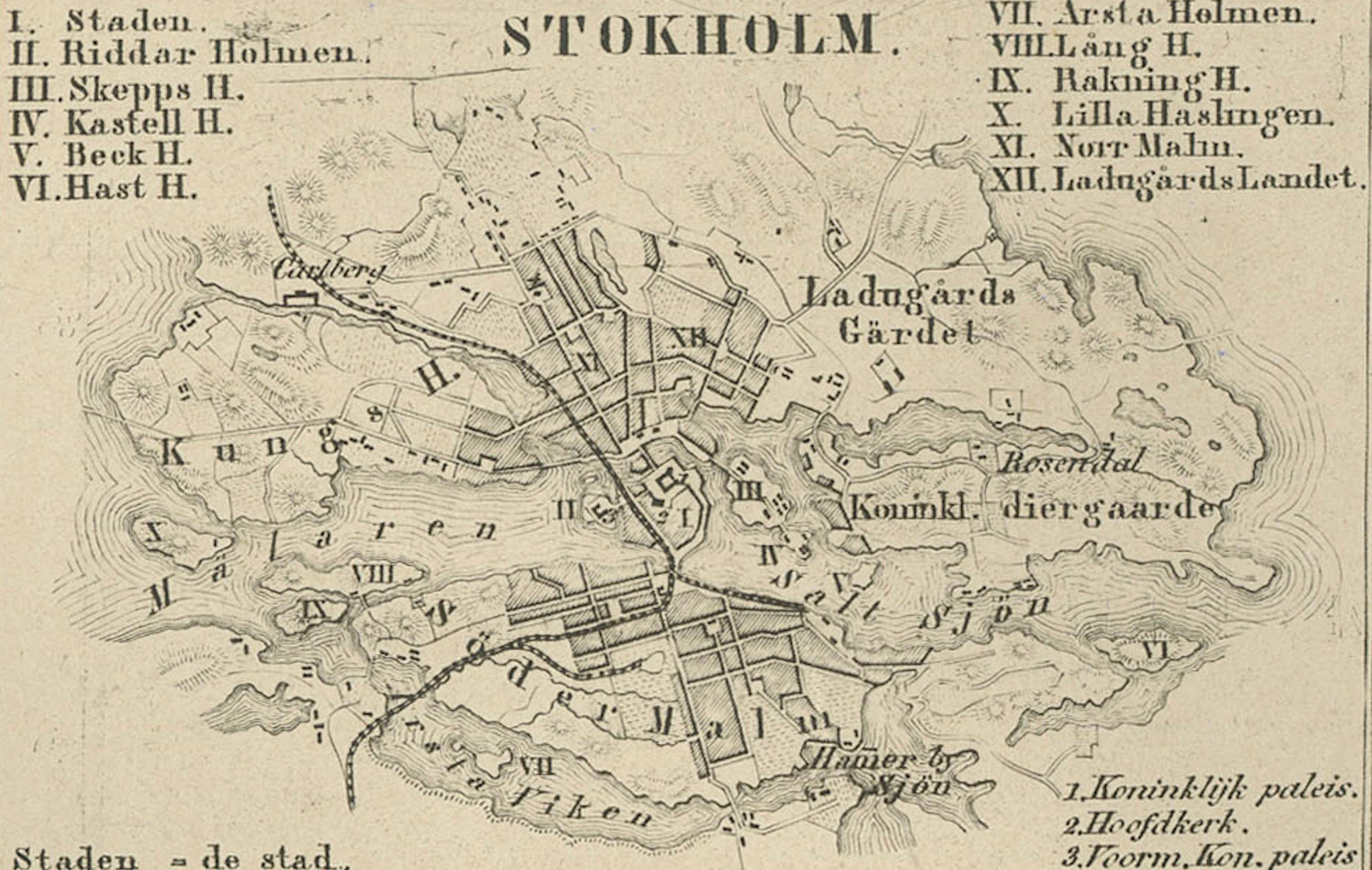
The map is engraved with exceptional precision and delicately hand-colored to differentiate the borders of Sweden, Norway, and neighboring regions. Major cities, towns, rivers, and mountain ranges are finely labeled, including Stockholm, Christiania (now Oslo), Gothenburg, Bergen, and Trondheim. It also shows the Gulf of Bothnia, the Norwegian fjords, and the complex lake system that defines Sweden’s geography. Insets at the upper left depict the region of Stockholm (*Omstreken van Stockholm*) and a map of Scandinavia and northern Europe (*Scandinavië en Noord-Europa*), enriching the educational and geographical context of the chart.
This map exemplifies the clarity and accuracy of Dutch cartography in the late 19th century, balancing informative precision with decorative simplicity. It formed part of Frijlink’s *Nieuwe Hand-Atlas*, a work widely used in schools and institutions across the Netherlands, printed to the highest standards of the Leiden publishing house Noothoven van Goor.
Condition report: Good condition with even toning and minor foxing in the wide margins. Original center fold as issued. The printed image is sharp and the hand-coloring remains soft and harmonious. No tears, losses, or repairs.
Framing tips: A light cream or soft grey mat with a narrow black or walnut frame suits this map beautifully. The balanced layout and fine engraving make it ideal for display in study rooms, libraries, or interiors inspired by exploration and geography.
Technique: Lithograph with original hand-coloring Maker: M. Frijlink & A. van Otterloo, published by D. Noothoven van Goor, Leiden, 1876