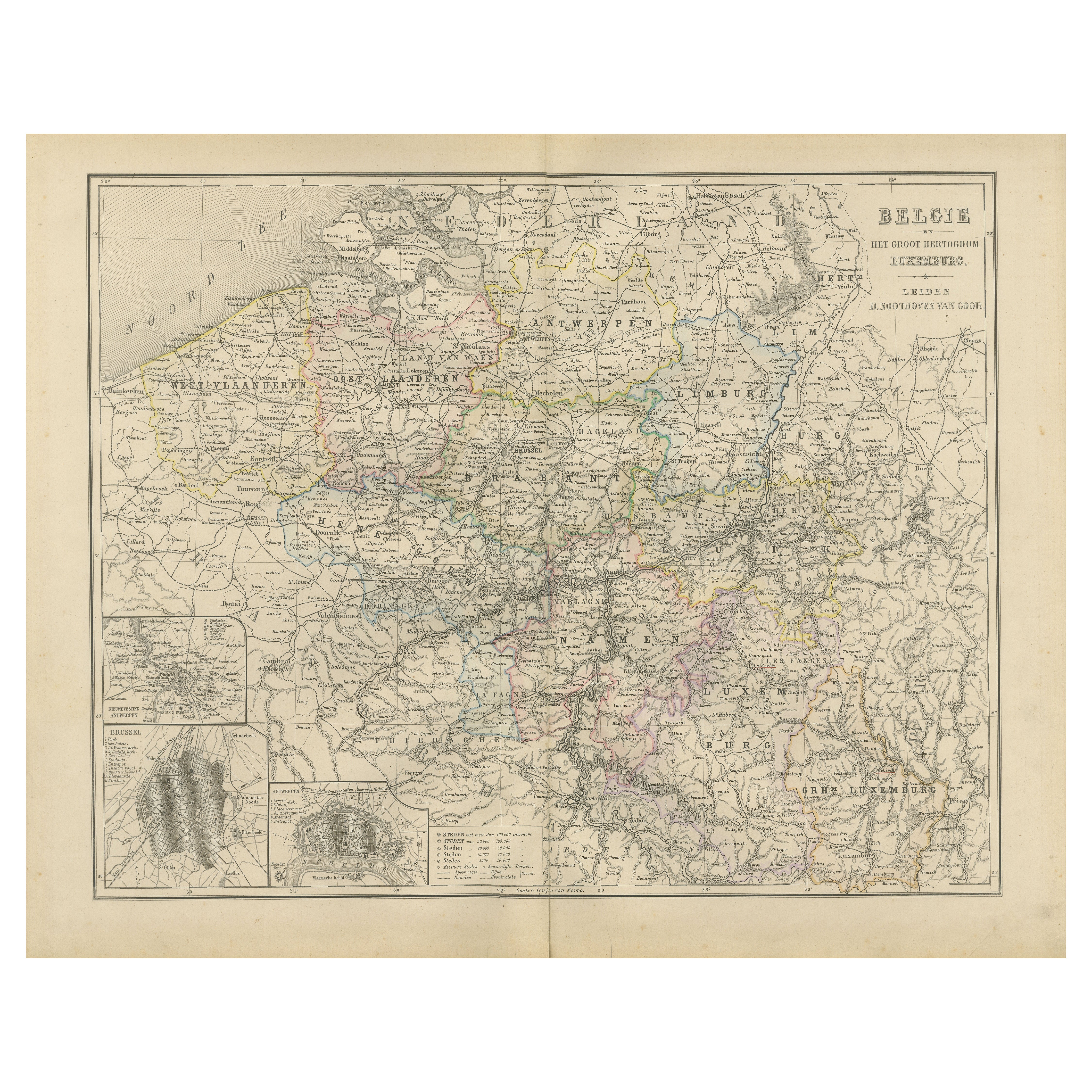
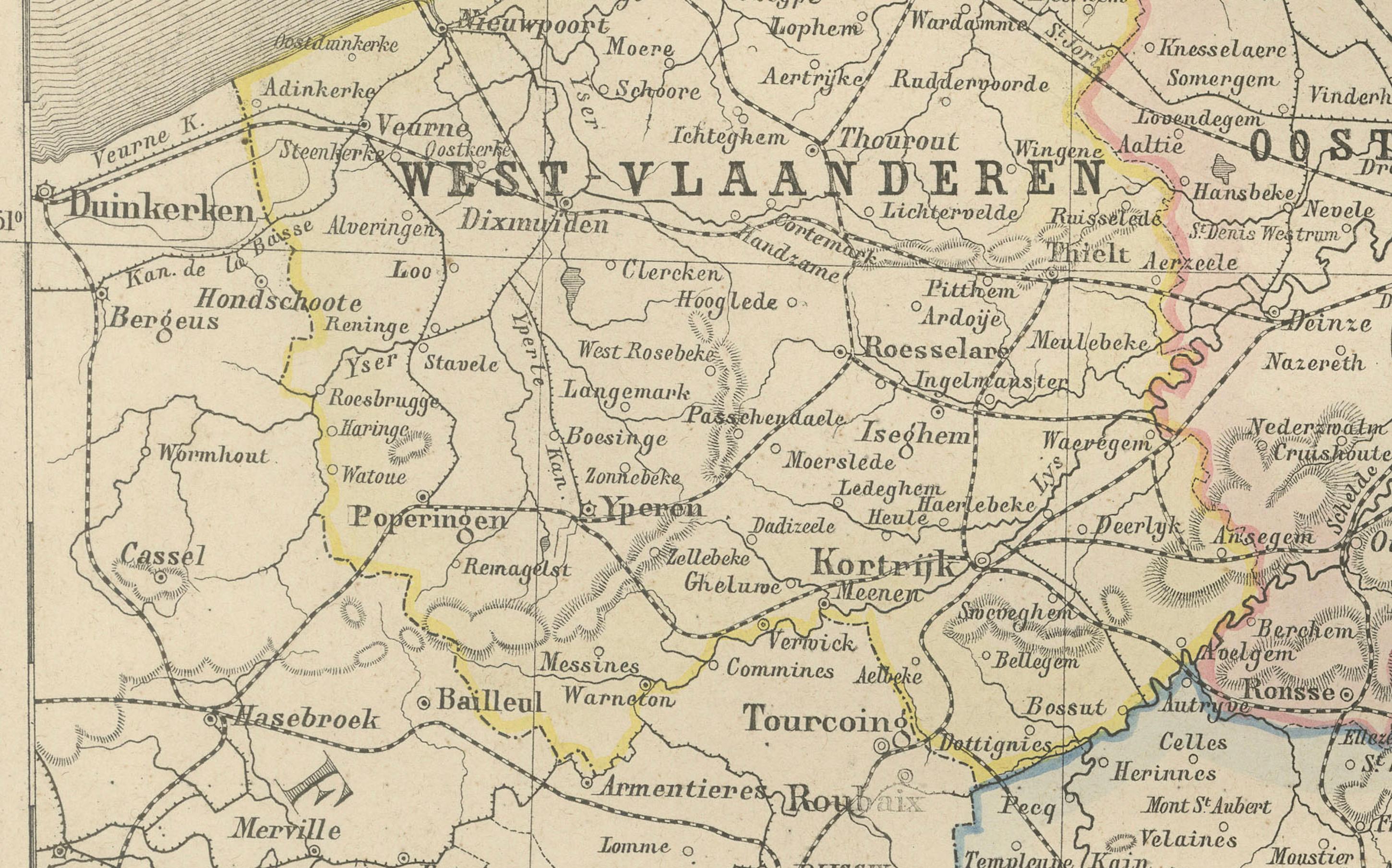
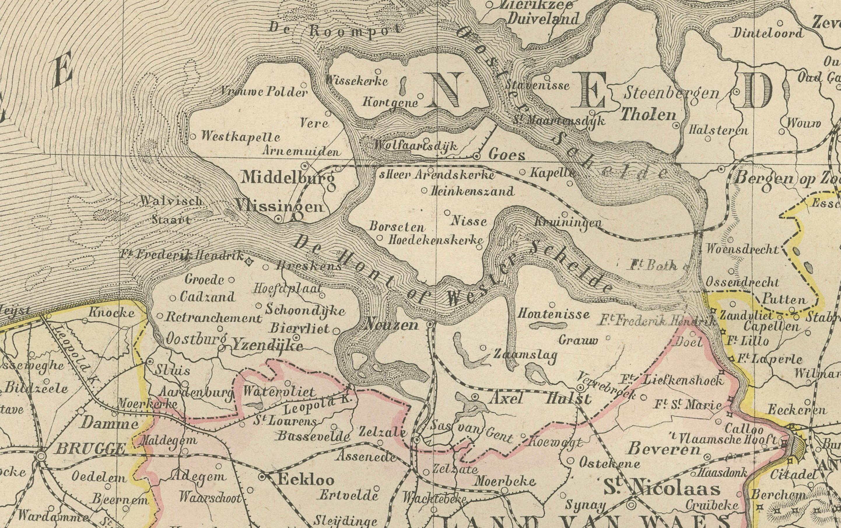
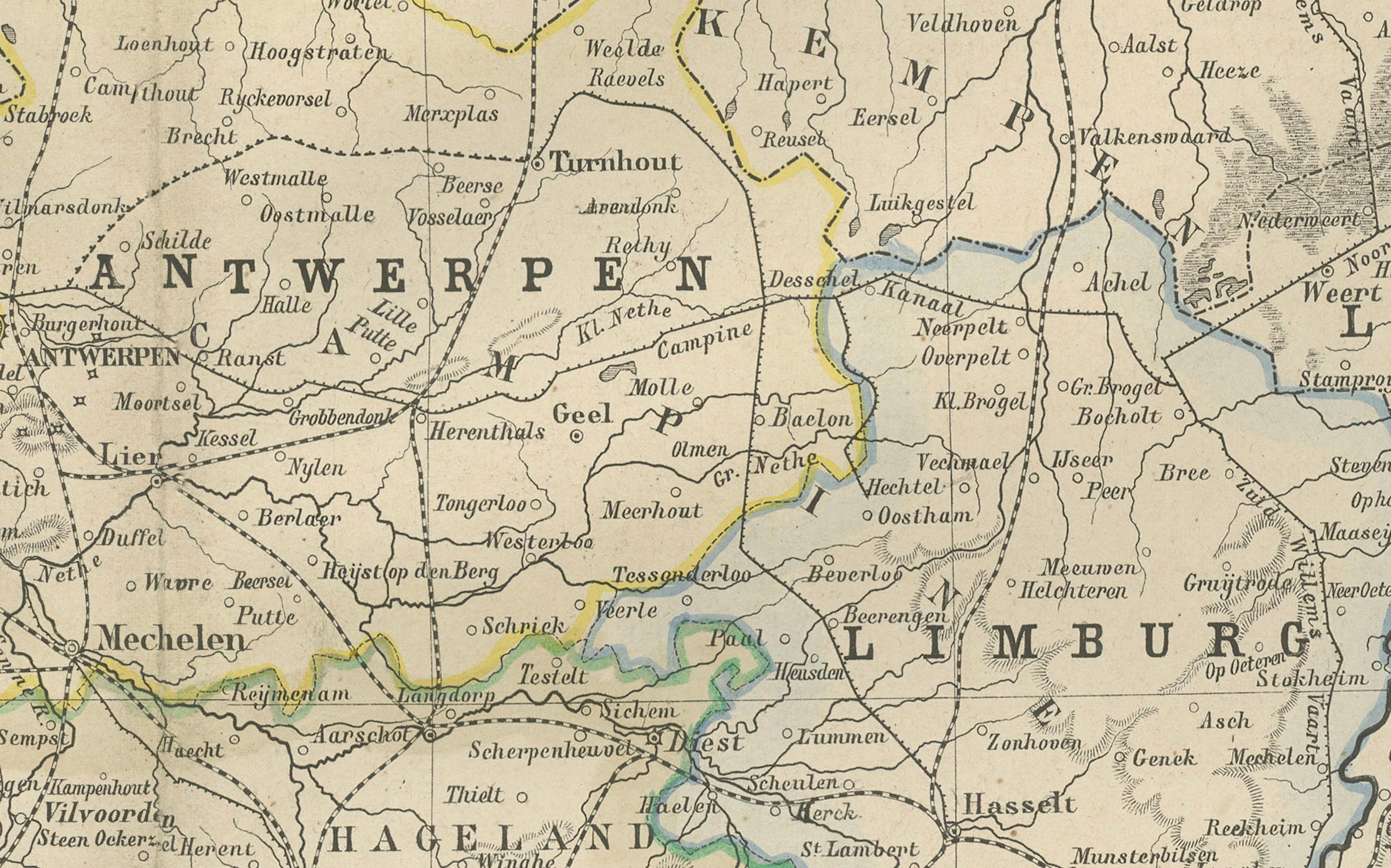
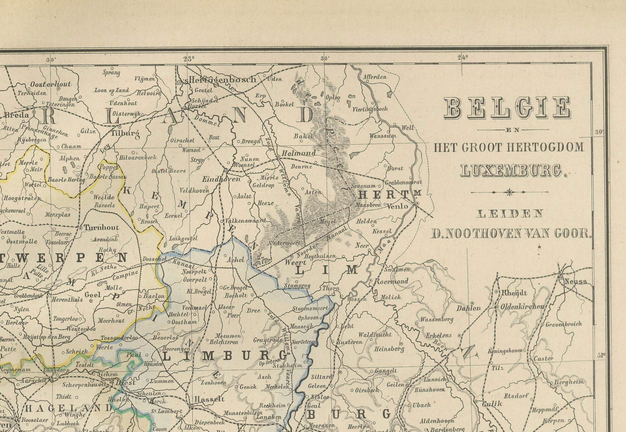
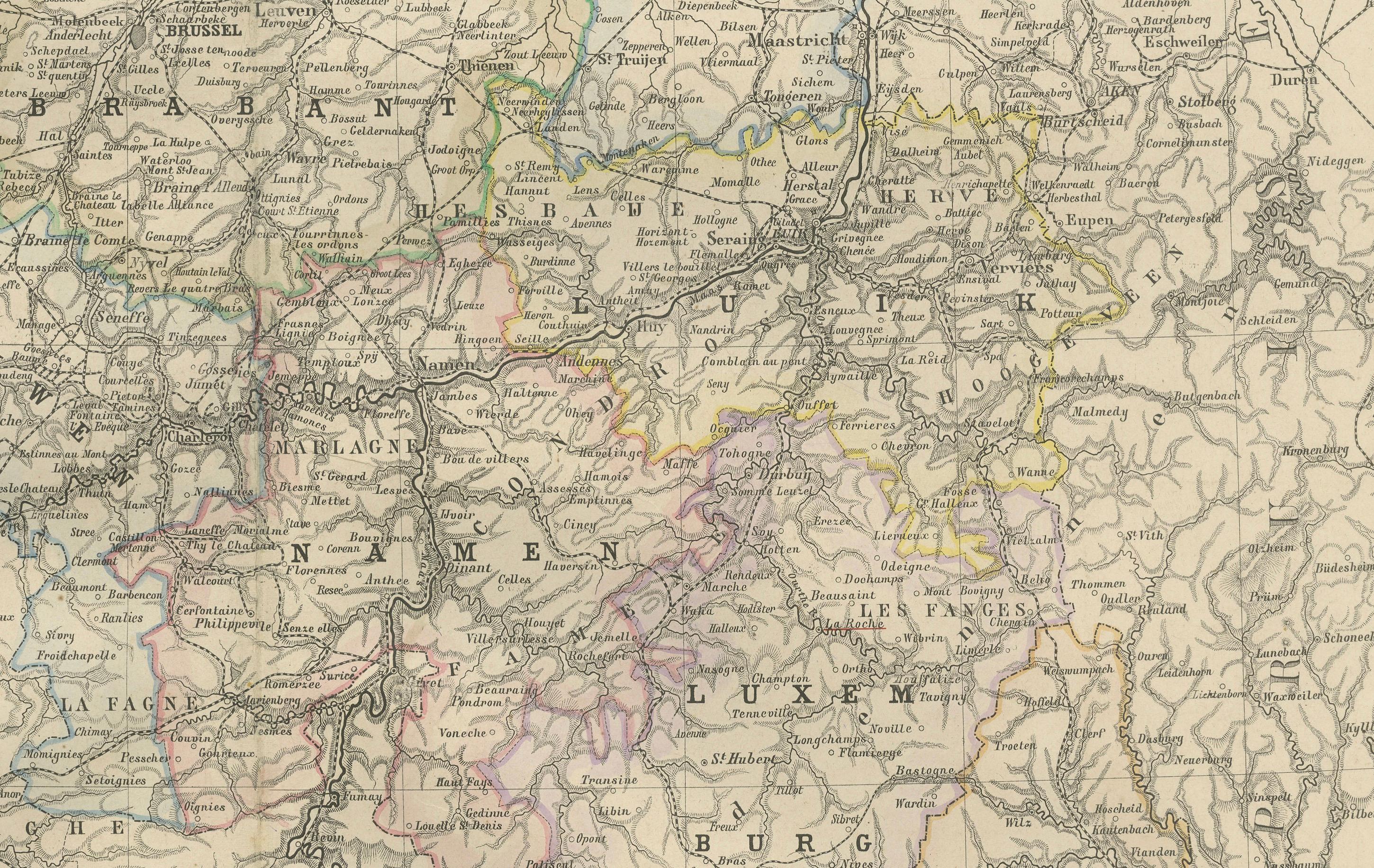
Map of Belgium and the Grand Duchy of Luxembourg, Leiden 1876
€ 320
One of a kind: this is the sheet in the photographs. Ships from Langweer, the Netherlands.
Date
1876
Sheet size
44 × 55 cm (17.3 × 21.7 in)
Condition
Good
Reference
BG-12788-14
Condition
Good condition with light even toning and occasional small foxing marks along the outer edges. Original center fold as issued. The printed image remains crisp, and the coloring is soft and well-preserved. No tears or repairs.
About this sheet
This elegant 19th-century Dutch map, titled “België en het Groot Hertogdom Luxemburg,” was published in 1876 in the Nieuwe Hand-Atlas der Aarde in haren Tegenwoordigen Toestand by M. Frijlink, revised by A. van Otterloo, and printed by D. Noothoven van Goor in Leiden. The map presents Belgium and Luxembourg in fine detail, showcasing the political and geographical landscape of the region during the late 19th century.
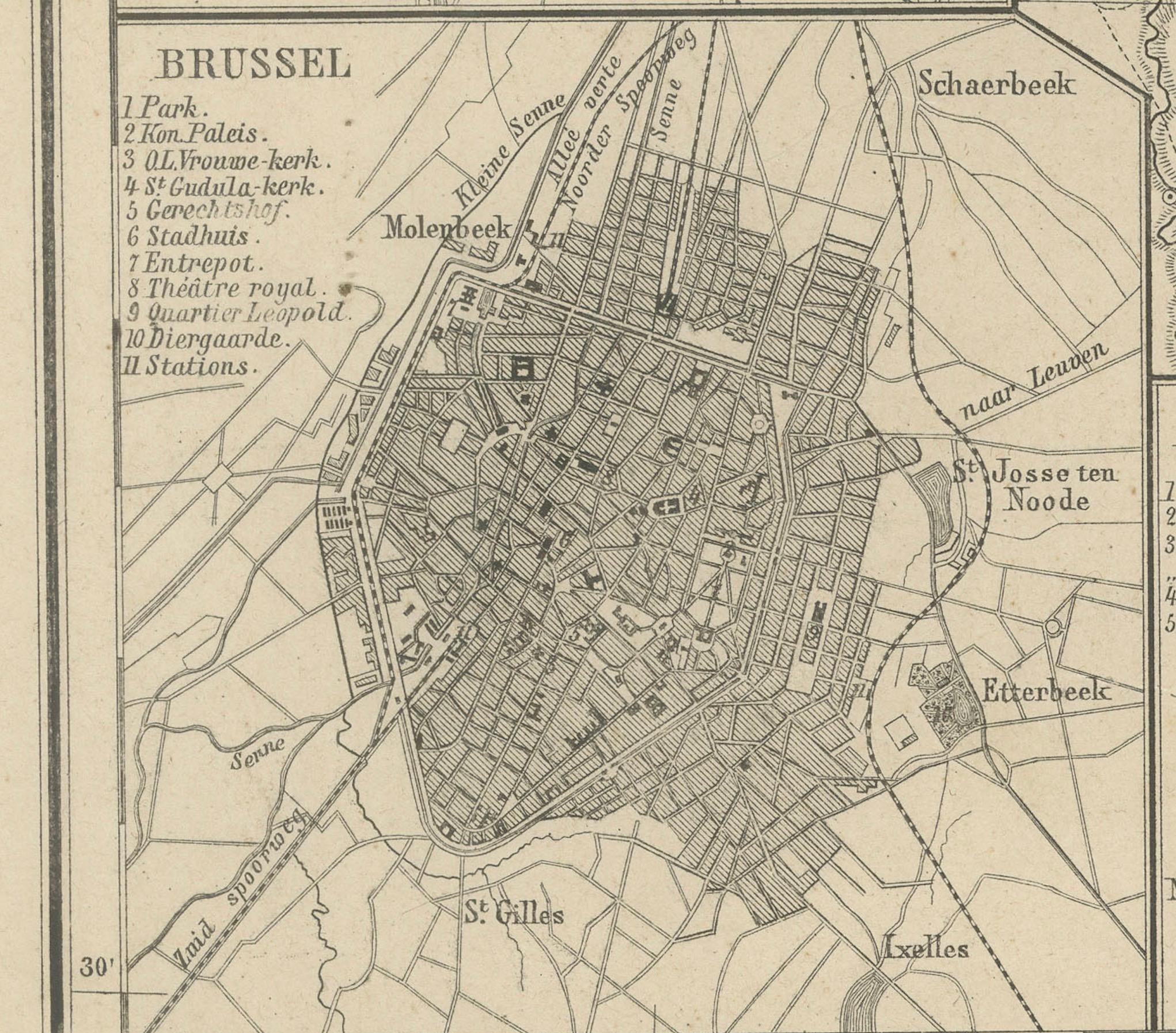
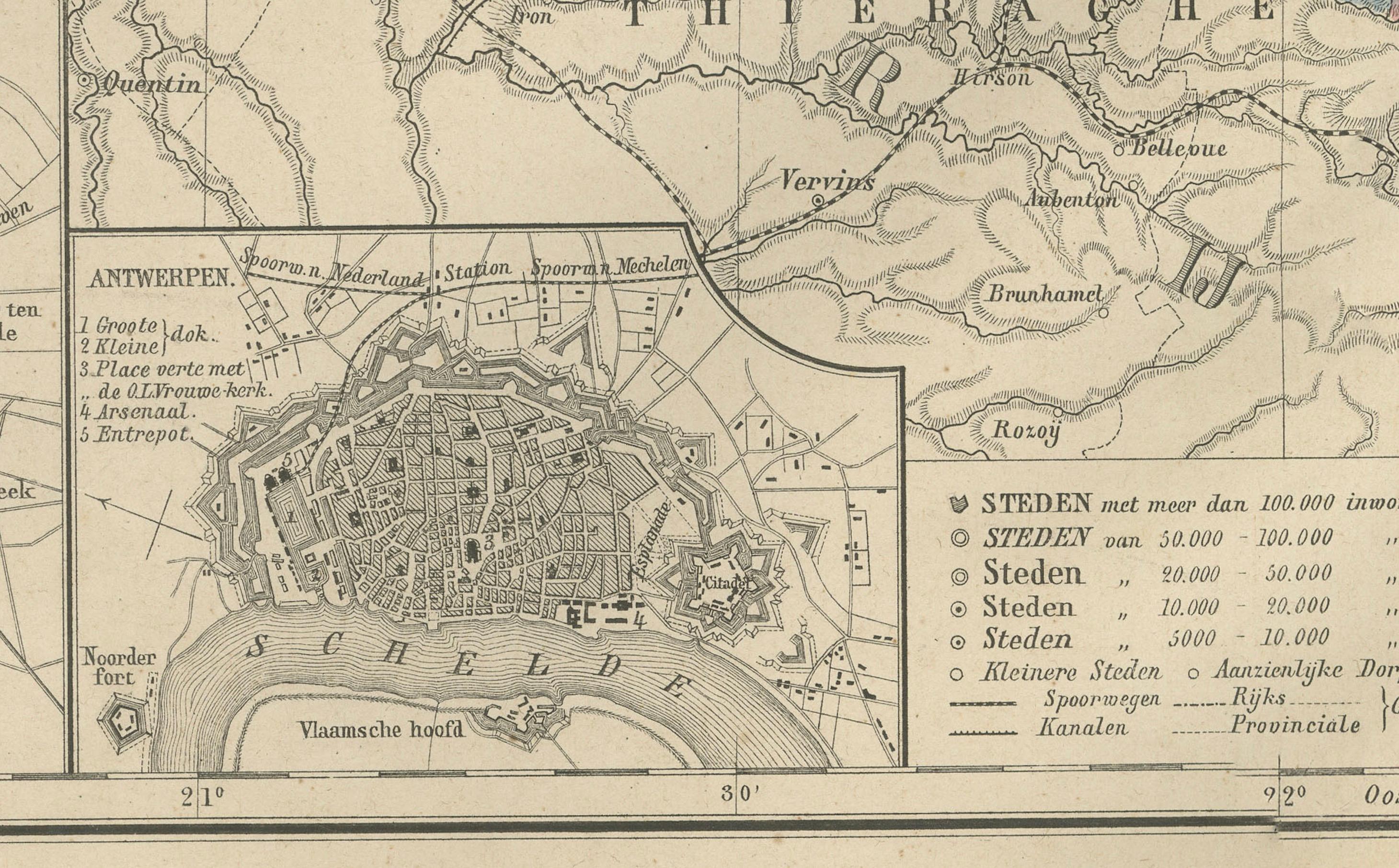
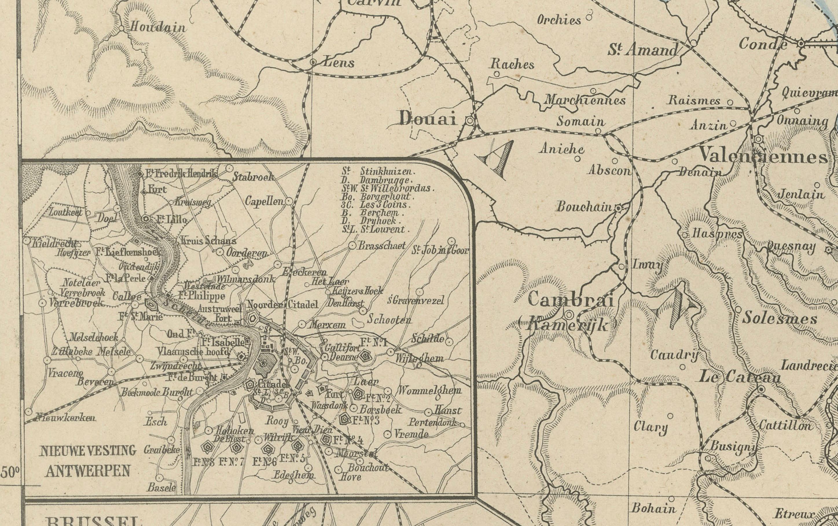
Each province is carefully outlined in soft hand-coloring—Flanders, Brabant, Hainaut, Liège, Namur, and Luxembourg—while major rivers, roads, and railways are meticulously engraved. Prominent cities including Brussels, Antwerp, Ghent, Bruges, Liège, and Luxembourg are marked clearly, with three inset maps providing closer studies: one of Brussels (*Brussel*), one of Antwerp (*Antwerpen*), and one showing the vicinity of Liège (*Omstreken van Luik*). The map also labels neighboring regions in France, Germany, and the Netherlands, emphasizing Belgium’s position at the heart of Europe.
Produced during an era when Belgium was consolidating its modern infrastructure and identity, this map combines historical context with the precision and clarity of Dutch educational cartography. The fine engraving, balanced layout, and clean typography typify the craftsmanship of the Noothoven van Goor publishing house in Leiden, known for its refined geographic atlases.
Condition report: Good condition with light even toning and occasional small foxing marks along the outer edges. Original center fold as issued. The printed image remains crisp, and the coloring is soft and well-preserved. No tears or repairs.
Framing tips: This map’s balanced composition and delicate coloring make it ideal for framing with a light cream or ivory mat and a thin black or walnut frame. It pairs beautifully with maps of the Netherlands or France from the same series, adding historical character to a study or office.
Technique: Lithograph with original hand-coloring Maker: M. Frijlink & A. van Otterloo, published by D. Noothoven van Goor, Leiden, 1876