About this sheet
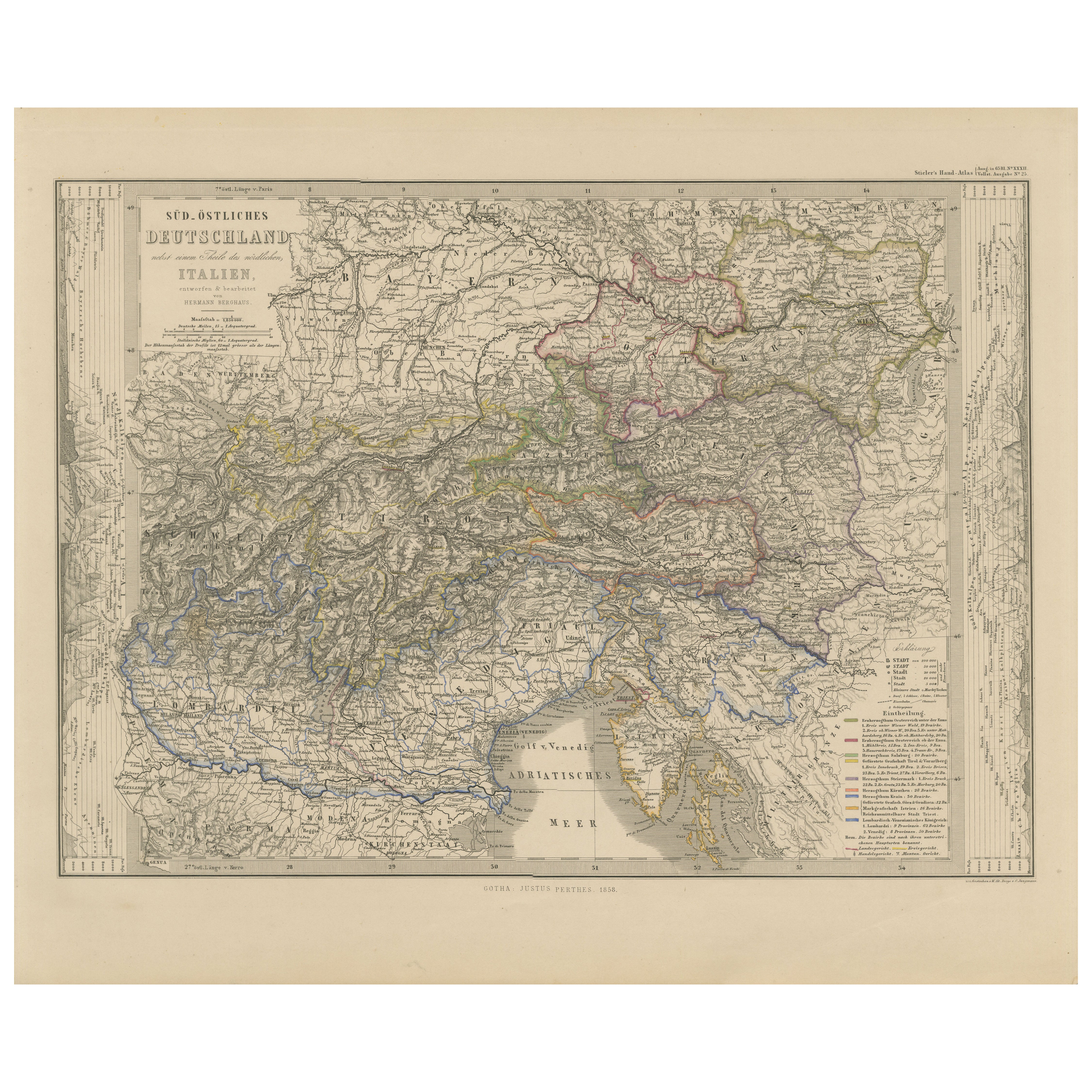
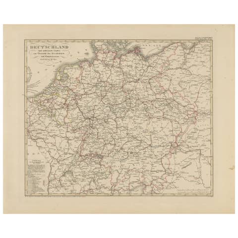
Map of Southeastern Germany & Northern Italy – Antique Engraving, 1858
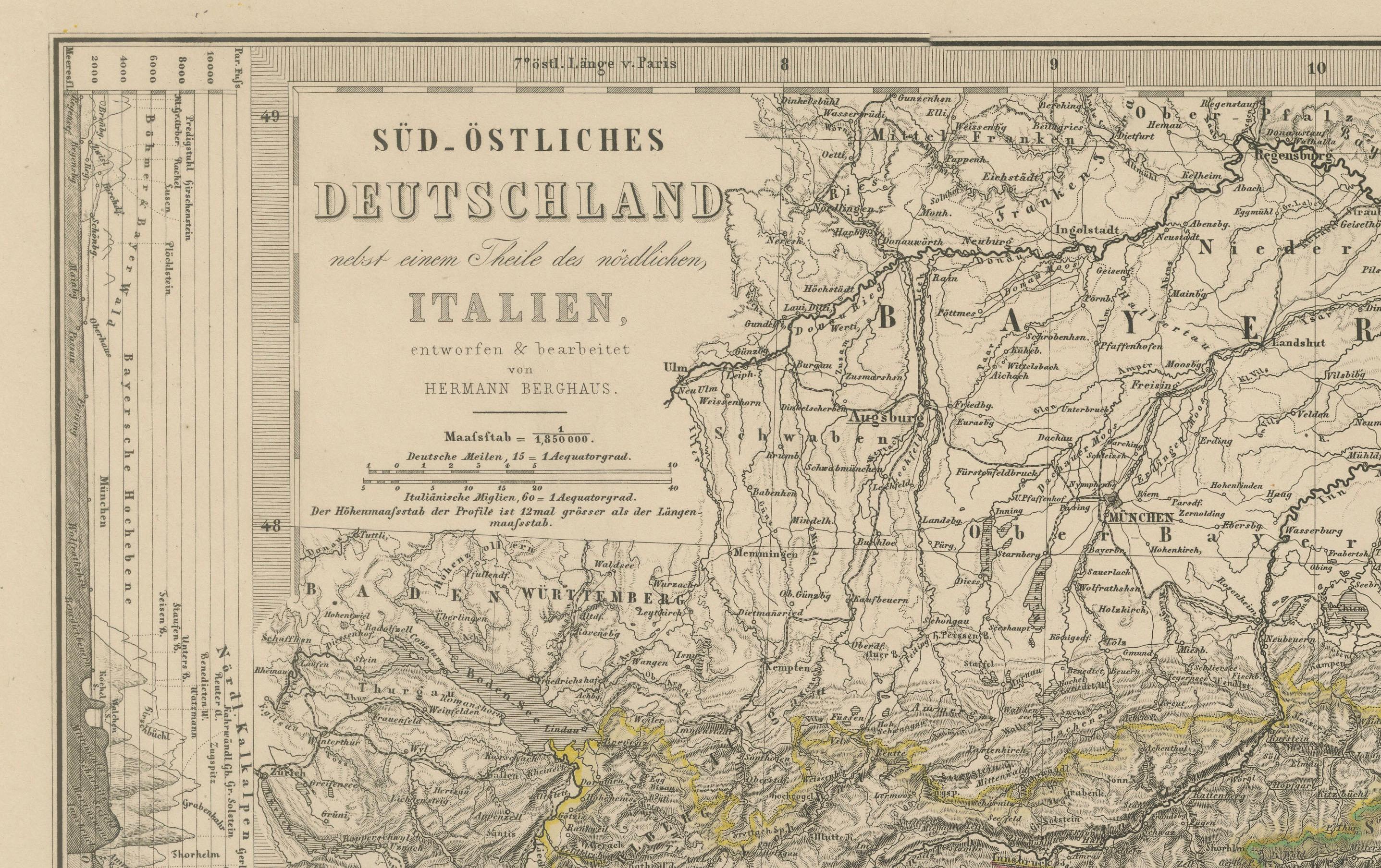
Antique map titled "Süd-Östliches Deutschland nebst einem Theil des nördlichen Italien," published by Justus Perthes in Gotha in 1855. This finely engraved map offers a detailed view of Southeastern Germany, the Austrian Empire, and Northern Italy in the mid-19th century, just before the unification of Italy and the consolidation of German states.
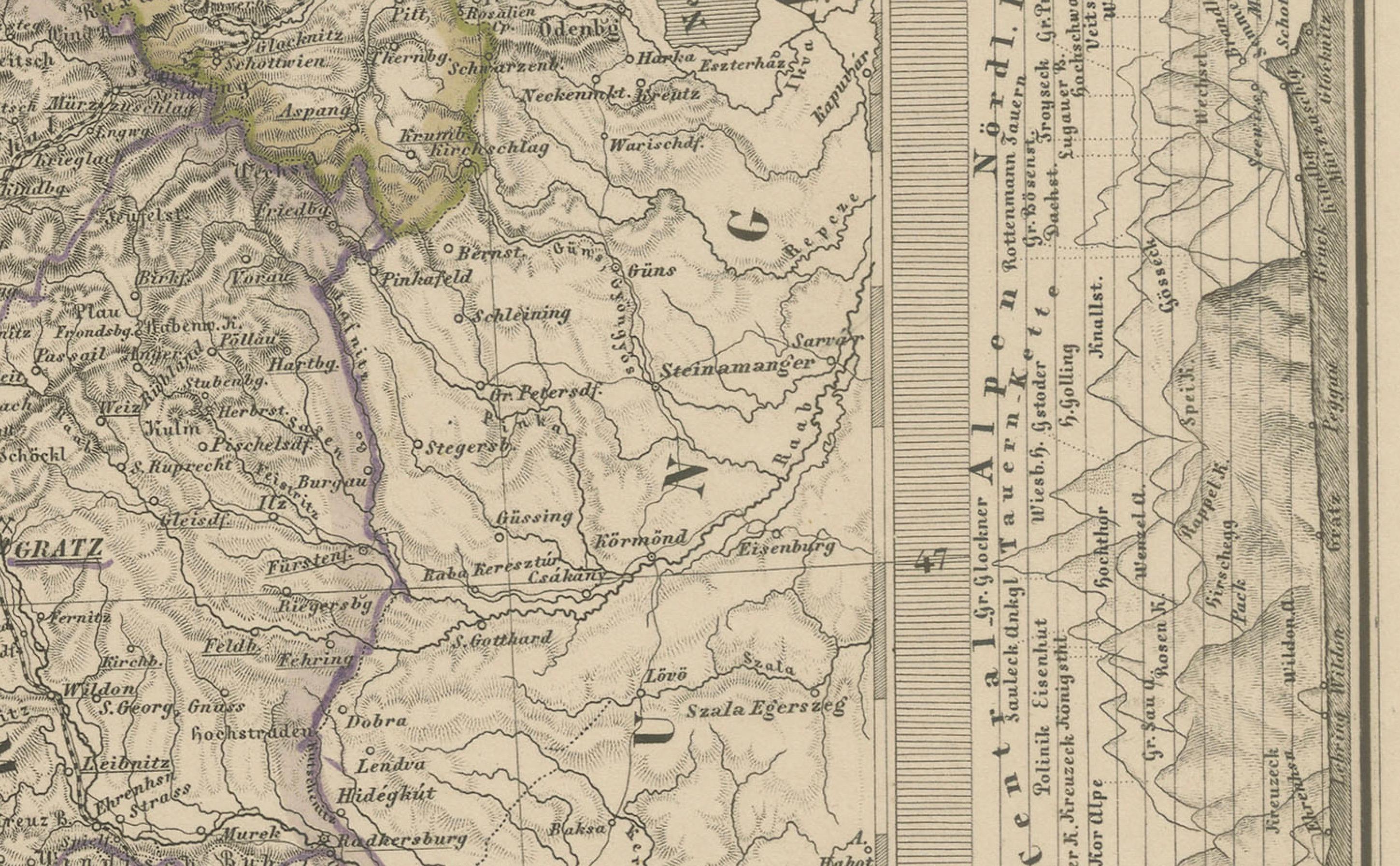
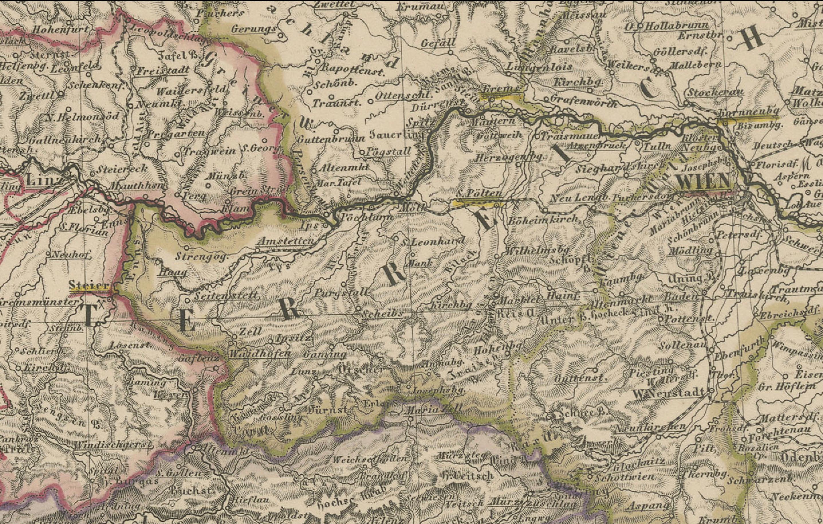
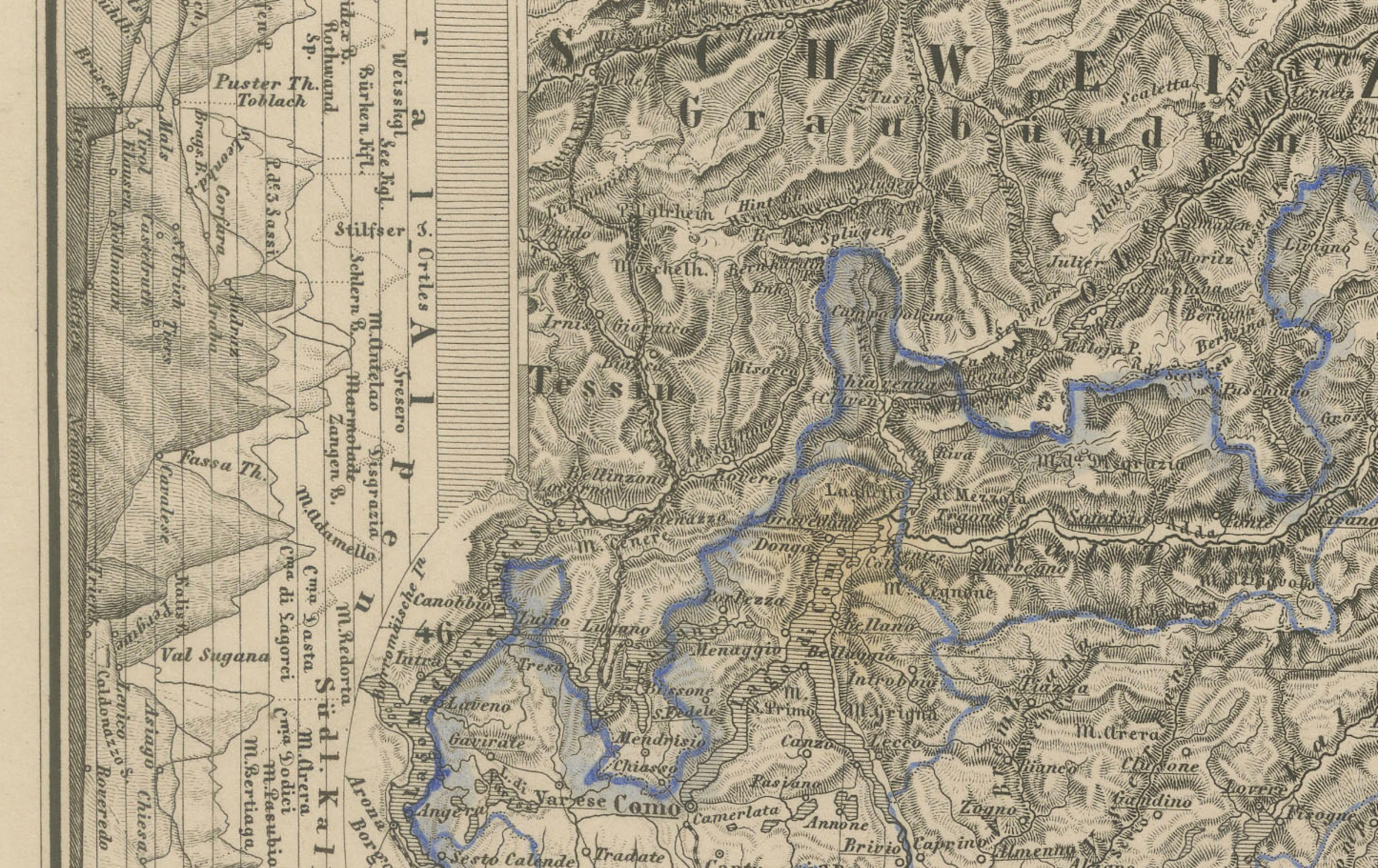
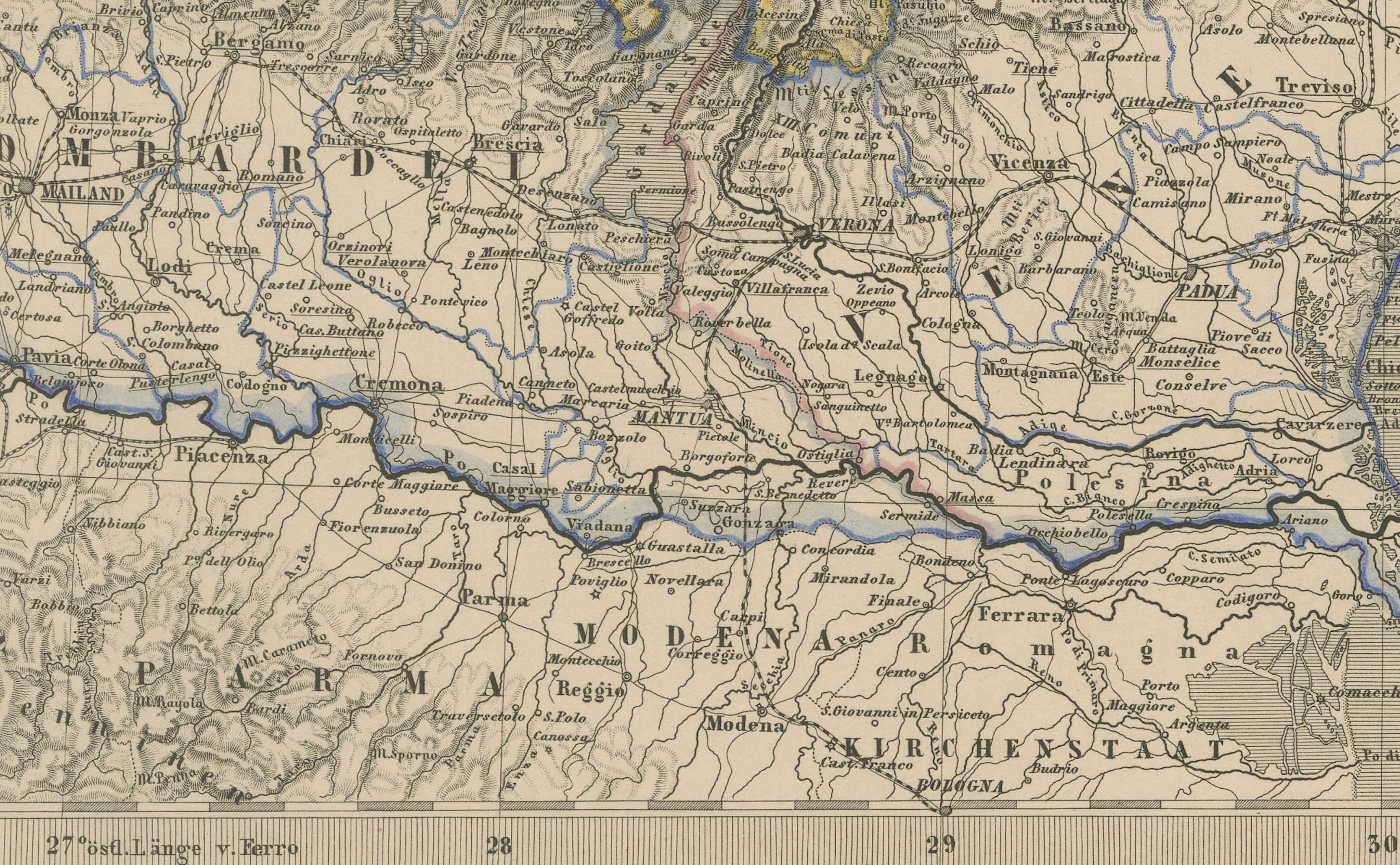
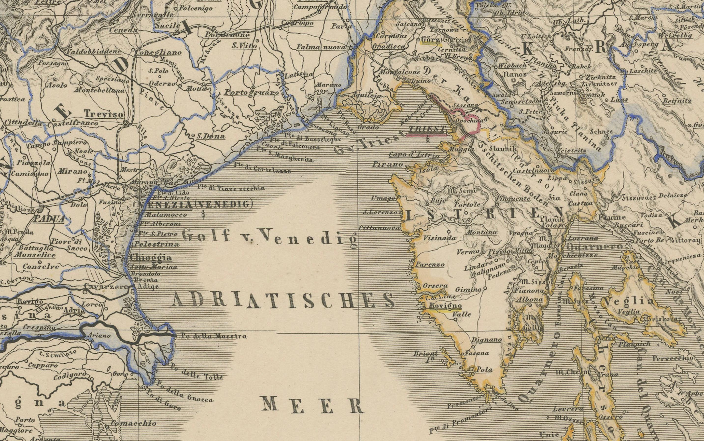
The map covers southern Bavaria, Tyrol, Styria, Carinthia, Carniola, the Kingdom of Lombardy-Venetia, and regions extending into modern-day Slovenia, Croatia, and northeastern Italy. Cities such as Vienna, Salzburg, Venice, Trieste, Graz, and Milan are clearly marked, alongside a dense network of towns, rivers, roads, and railway lines.
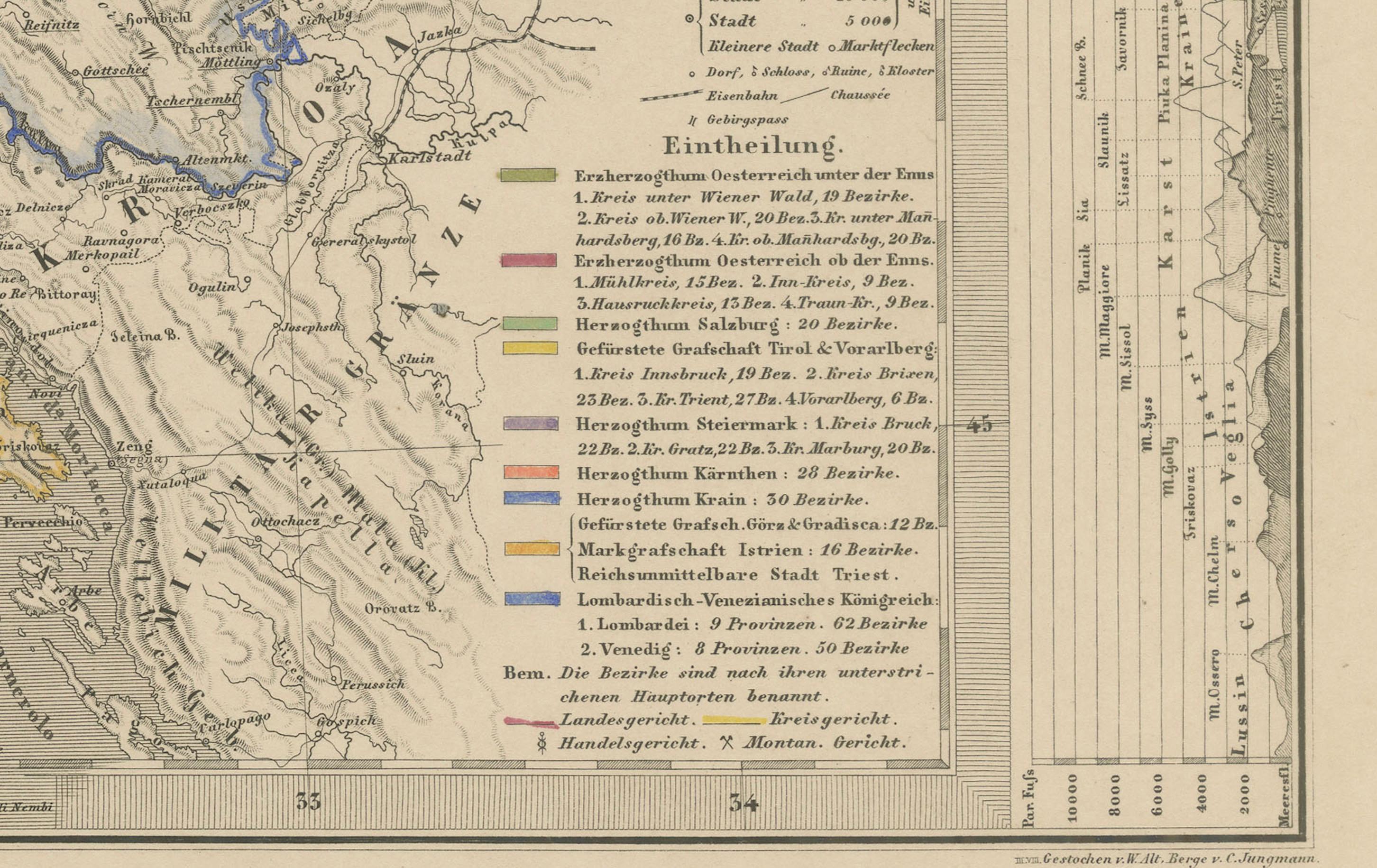
Provincial borders are delicately hand-colored, and a legend at lower right classifies territories based on their political status within the Austrian monarchy. Elevation is indicated through fine hachuring, and both horizontal and vertical elevation profiles frame the map, offering insight into the mountainous Alpine and Dinaric terrain.
This map provides a valuable historical snapshot of Central Europe and the northern Adriatic region under Habsburg rule. It is particularly appealing for collectors interested in 19th-century European cartography, the Austro-Italian relationship, or antique maps of the Alps and Adriatic.
Condition report:
Very good condition. Minor toning to outer margins. Hand-coloring remains vivid. No tears, foxing, or repairs.
Framing suggestions:
Best displayed in a dark or natural wood frame with a soft ivory mat. A thin blue or red inner mat line may highlight the delicate border colors. Perfect for a study, library, or historic-themed interior.
Technique: Copperplate engraving with original hand-coloring
Maker: Justus Perthes, Gotha, 1858