About this sheet
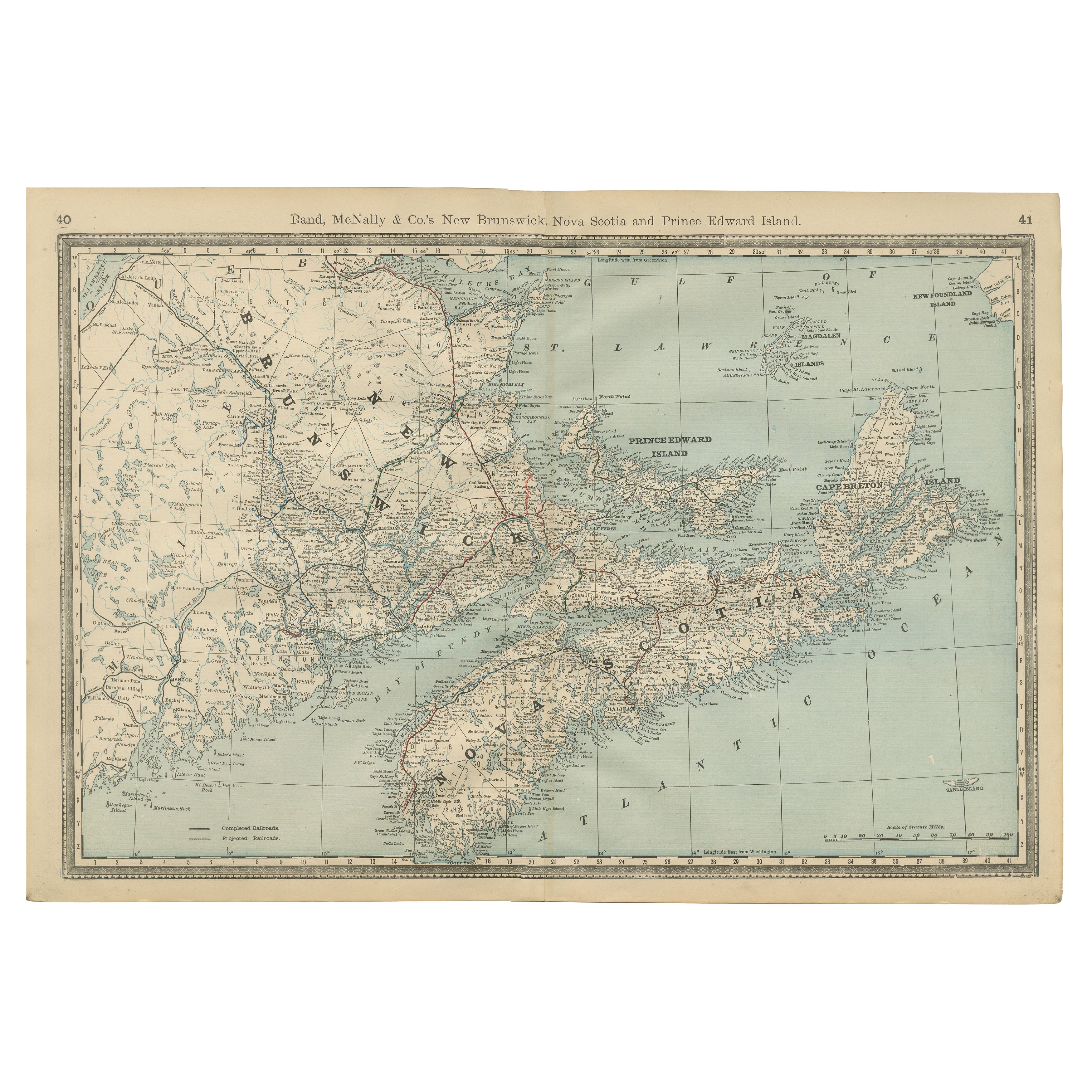
Antique Map of Nova Scotia, New Brunswick & Prince Edward Island – Rand McNally, circa 1888
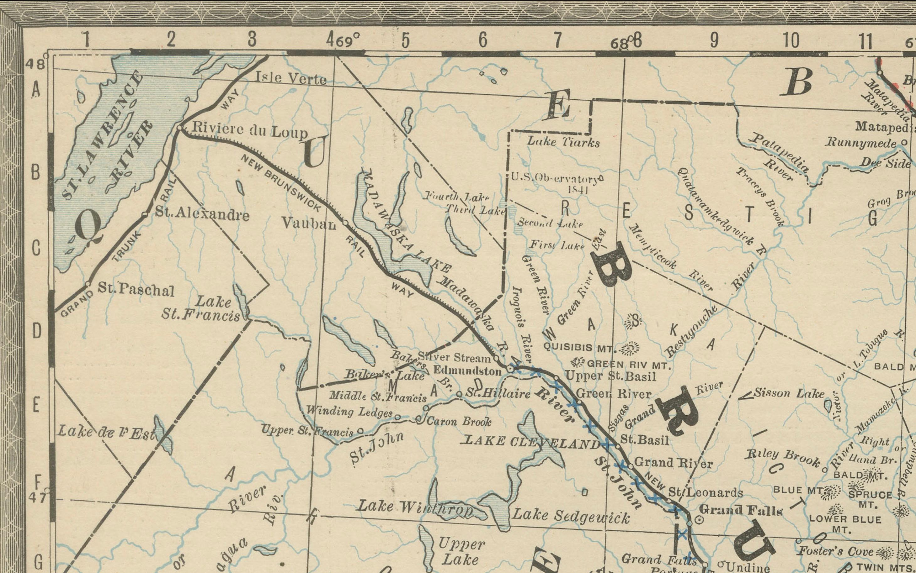
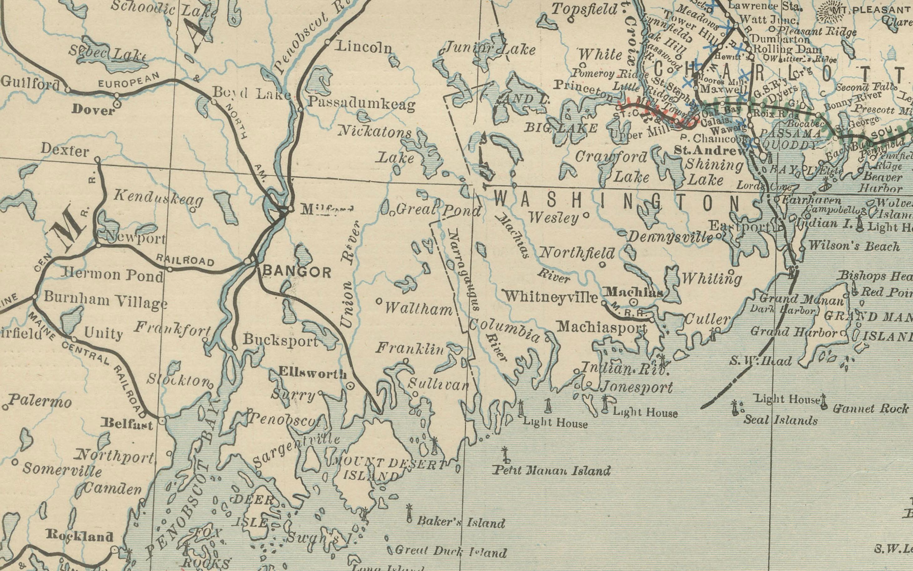
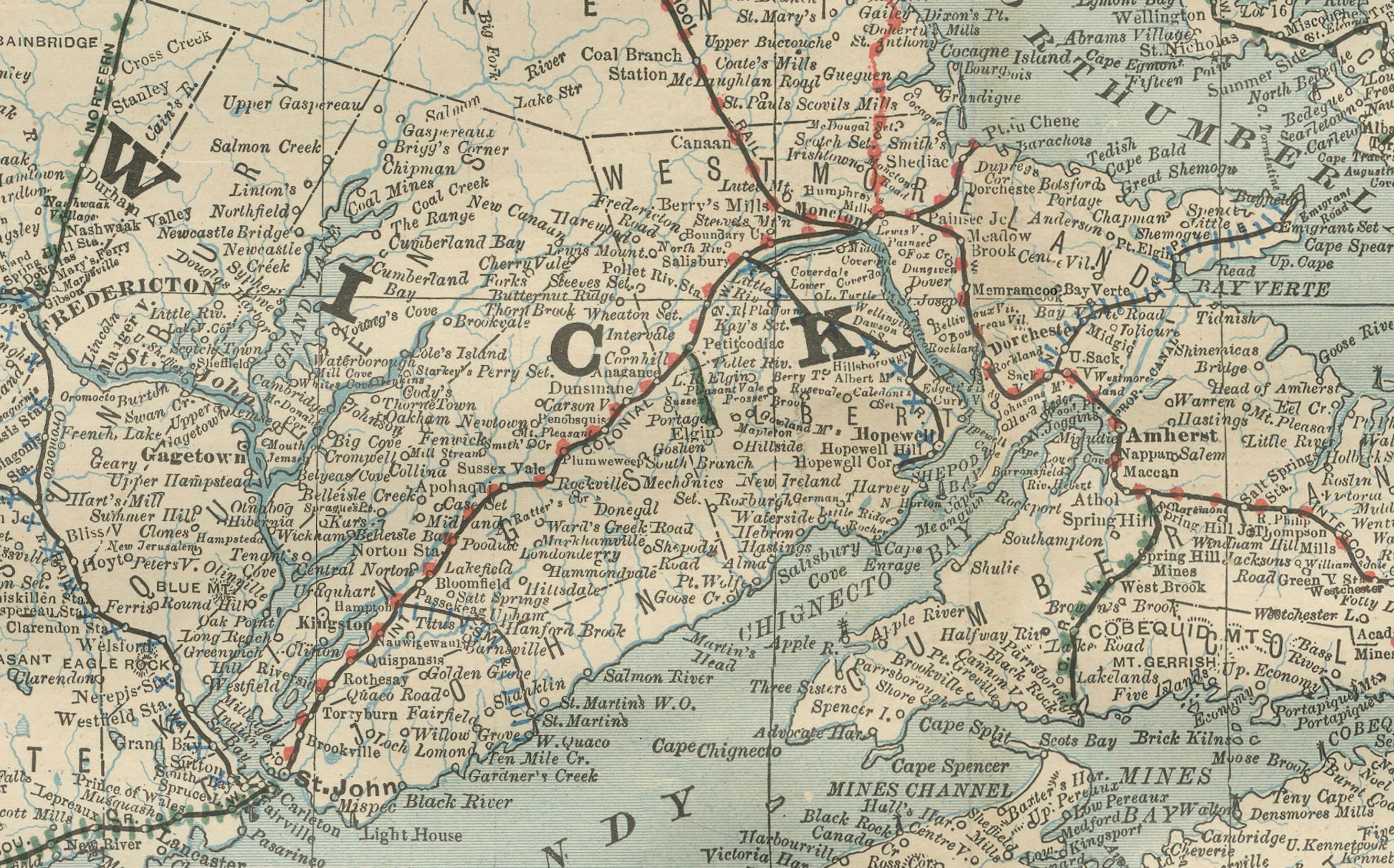
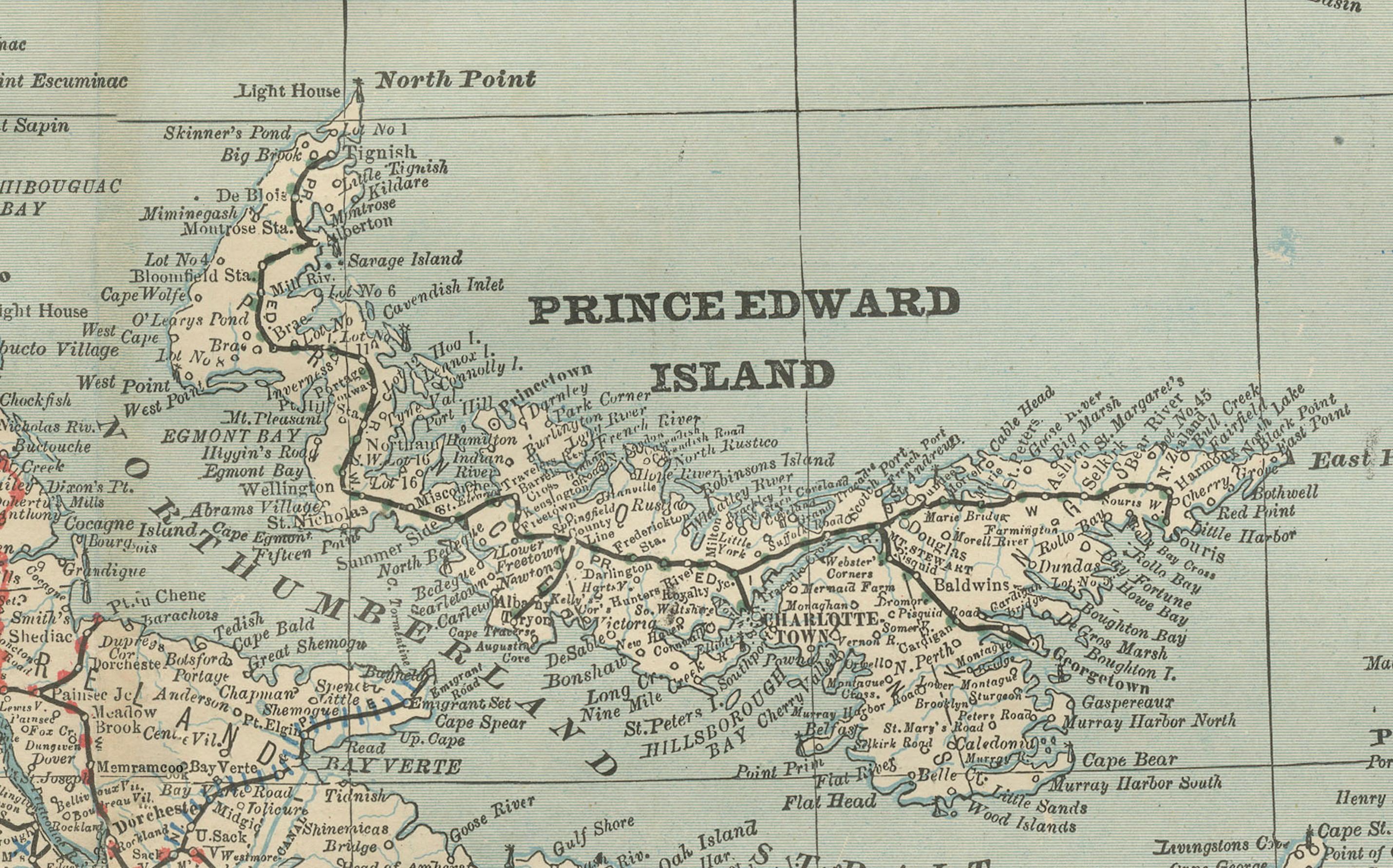
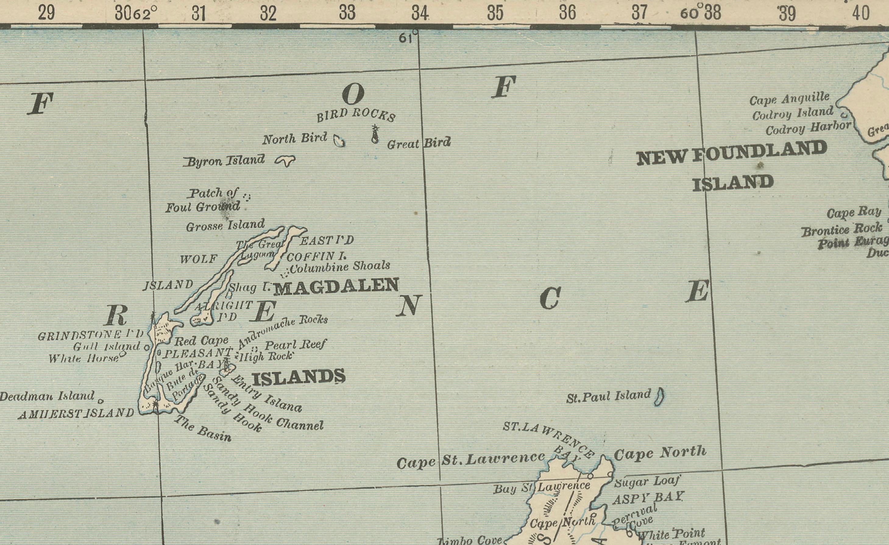
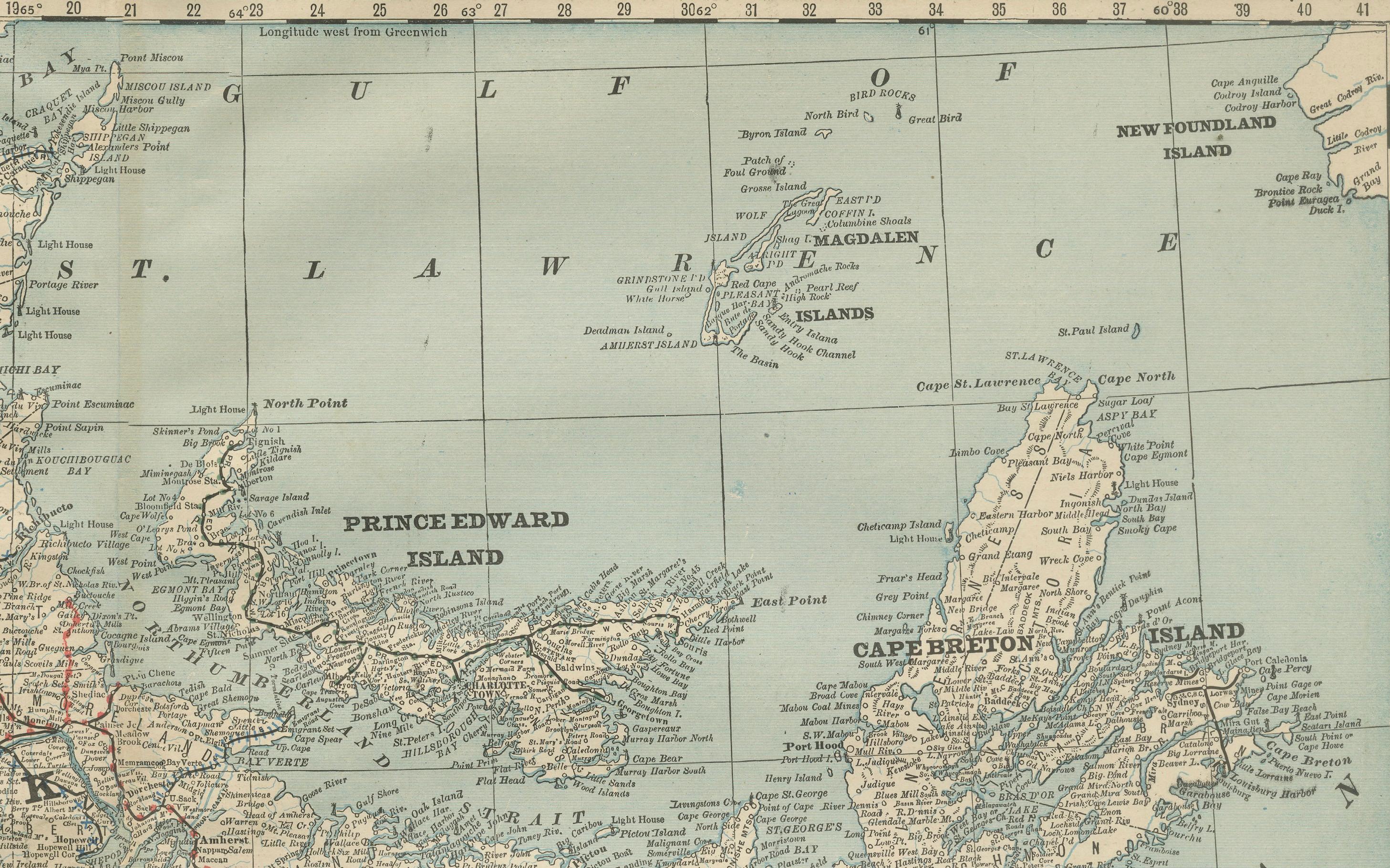
This antique map of the Maritime Provinces of Canada was published by Rand, McNally & Co. around 1888. It covers New Brunswick, Nova Scotia, Prince Edward Island, and Cape Breton Island, along with portions of the Gulf of St. Lawrence, Newfoundland, and the Bay of Fundy.
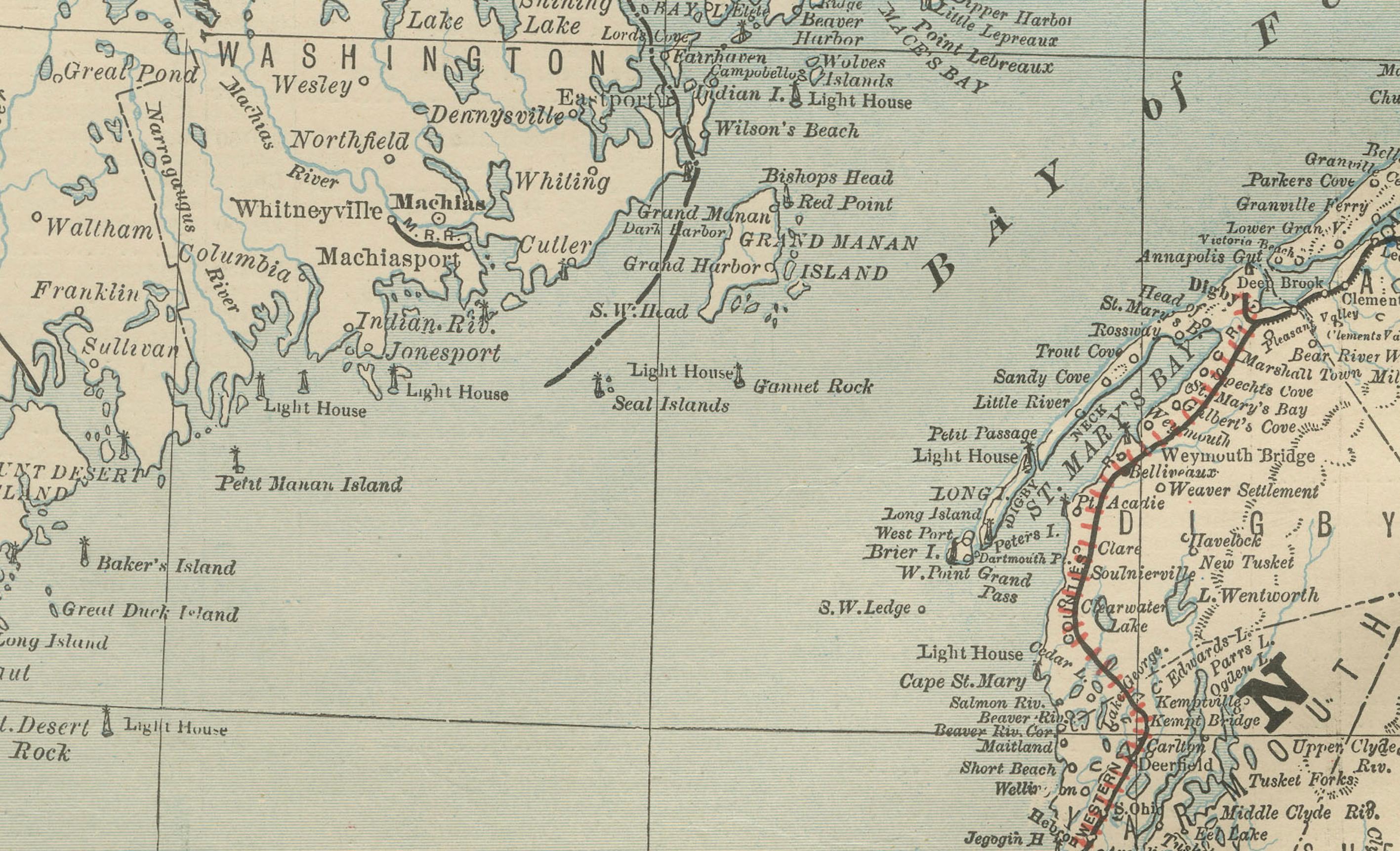
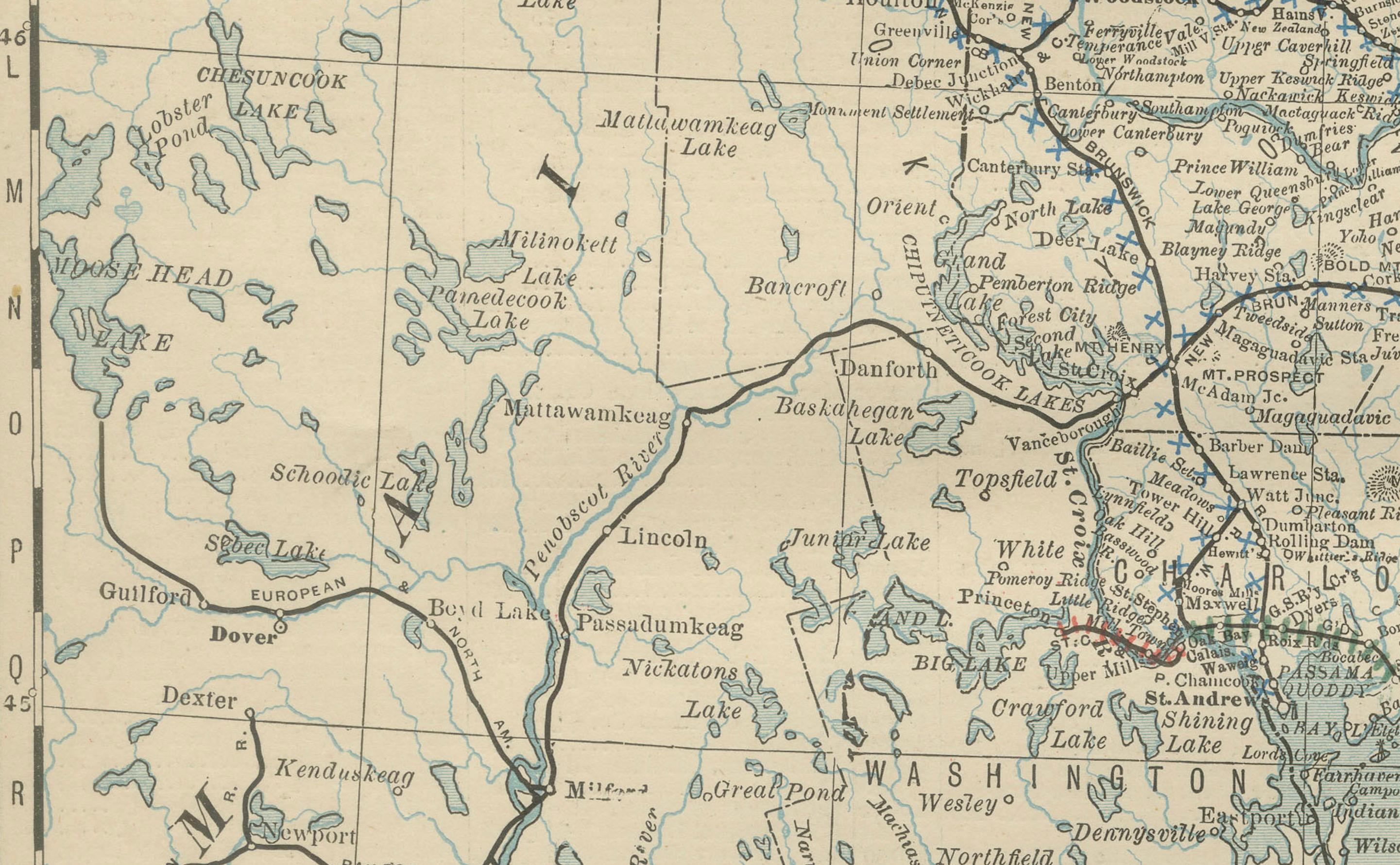
The map is beautifully engraved and enhanced with light blue shading to the waters, making it one of the more visually striking provincial maps from Rand McNally’s 19th-century atlas. The coastlines of Nova Scotia and Cape Breton are finely rendered, with harbors, inlets, and numerous offshore islands. Prince Edward Island is prominently shown in full, while New Brunswick displays both its rivers and the grid-like settlement divisions of its counties.
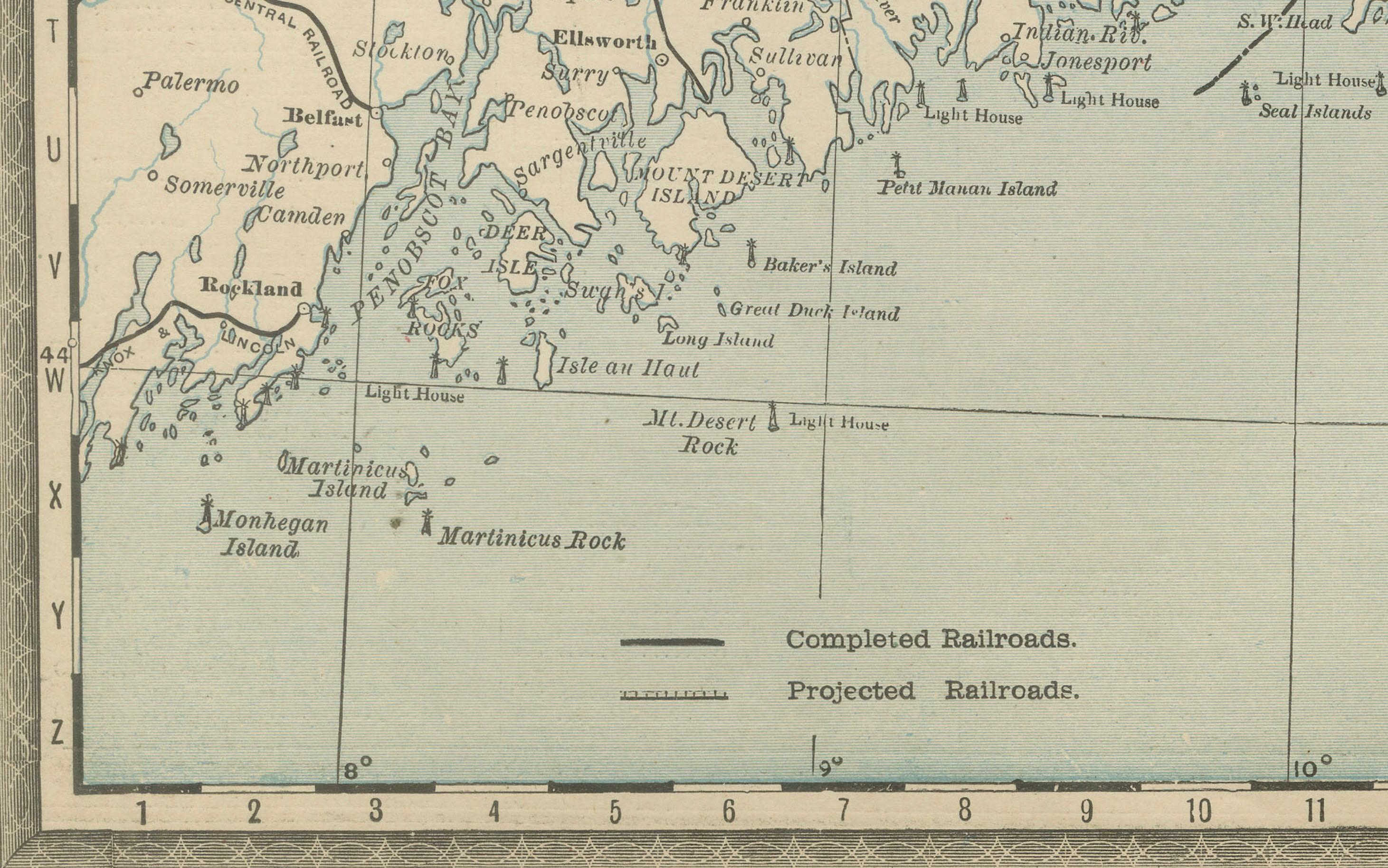
Railroads, marked in red and black, are carefully drawn, including the lines connecting Halifax, Saint John, and Charlottetown to inland towns. The cartography reflects the increasing economic integration of the Maritimes in the late 19th century, particularly after Canadian Confederation in 1867.
The map also extends into the Gulf of St. Lawrence, showing Magdalen Islands and the western edge of Newfoundland. Its detail and decorative ocean shading make it both historically important and aesthetically appealing. Collectors of Canadian cartography and Atlantic regional history will find this a significant piece.
Condition report:
Very good condition with mild toning and faint darkening along the original center fold. Plate mark visible. Margins clean with minimal wear. Strong impression with attractive color shading.
Framing tips:
A walnut or black frame with cream matting will highlight the engraved coastlines. A double mat with ivory outer and muted blue inner is recommended to emphasize the Atlantic Ocean and coastal detail.
Technique: Lithograph with original outline color and blue printed water
Maker: Rand, McNally & Co., Chicago, circa 1888