About this sheet
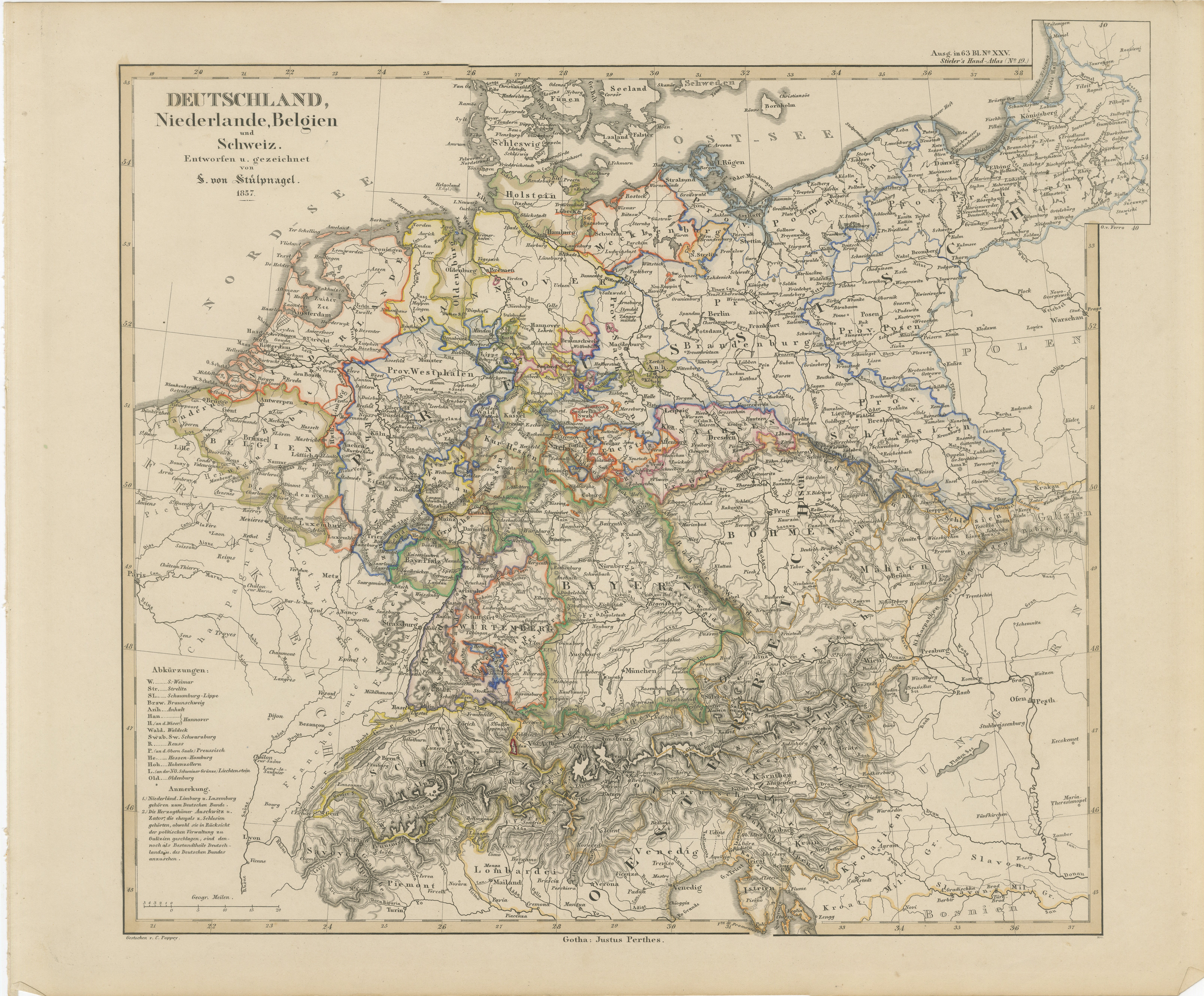
Antique Map of Germany, Netherlands, Belgium & Switzerland – Stülpnagel, 1857
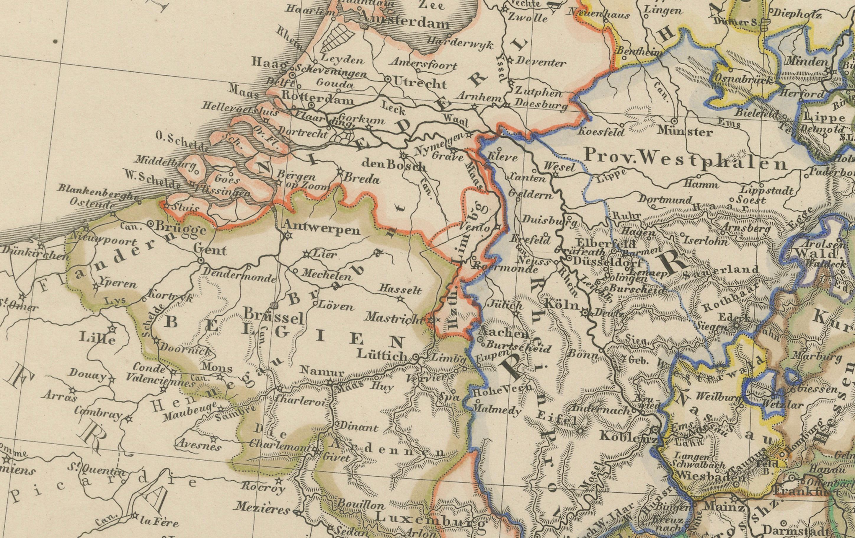
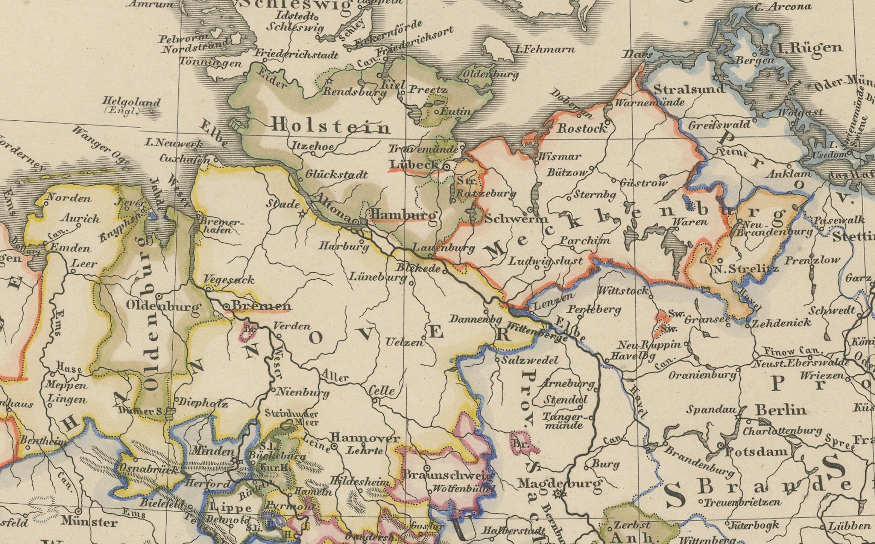
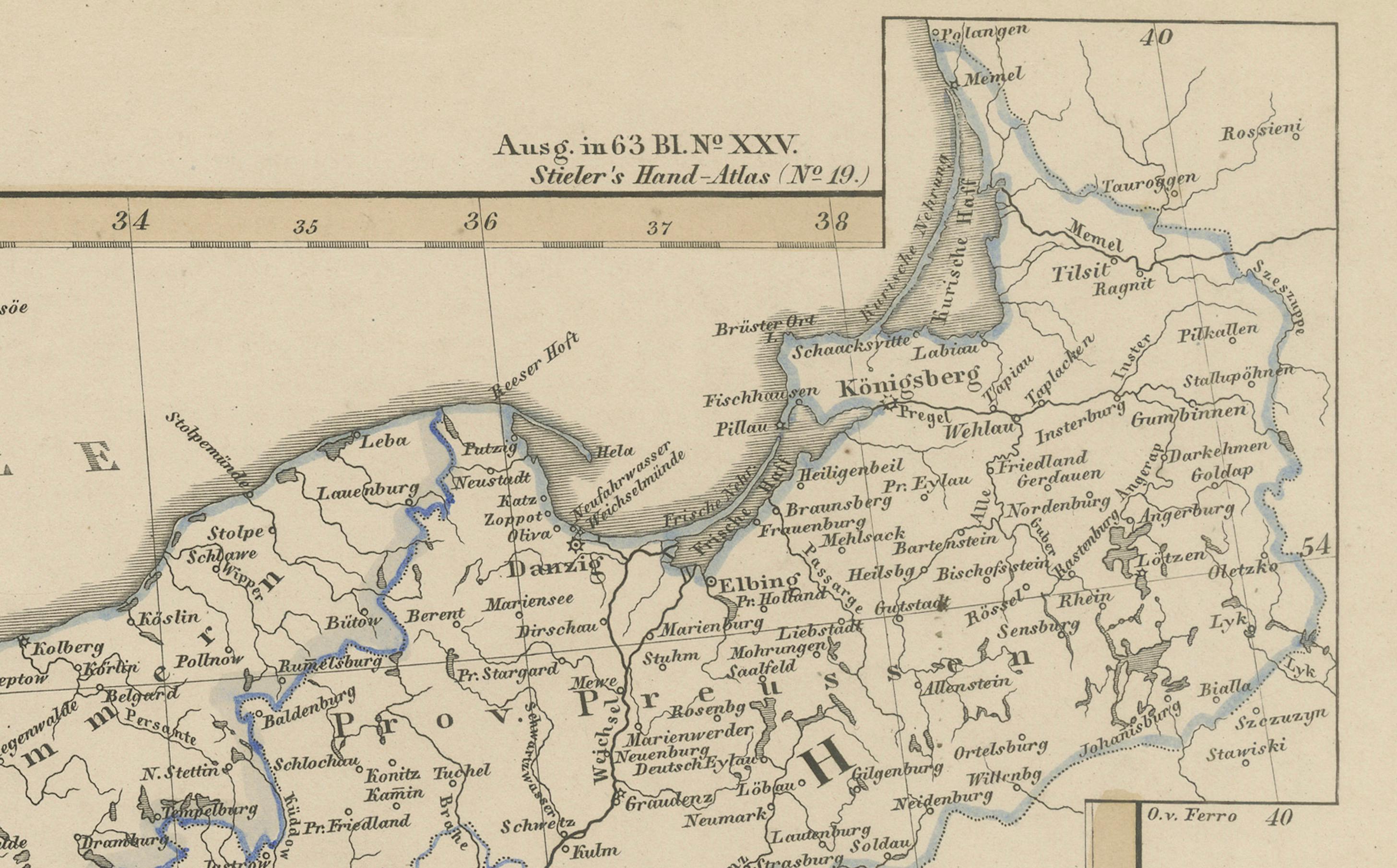
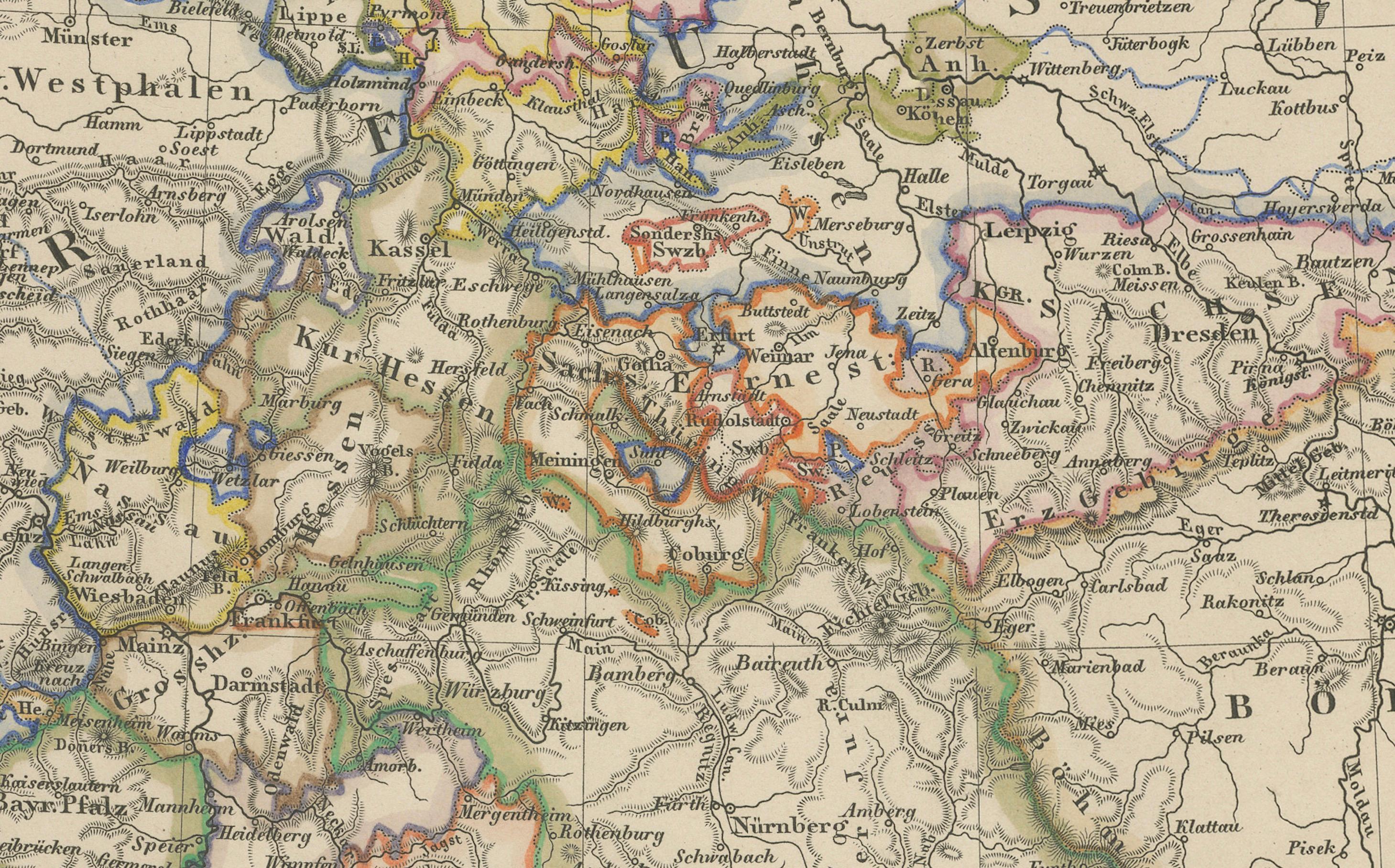
Fine mid-19th century map of Central Europe titled "Deutschland, Niederlande, Belgien, Schweiz", drawn and engraved by F. von Stülpnagel and published by Justus Perthes in Gotha in 1857. This detailed political map captures the patchwork of states and territories that characterized Germany and its neighboring regions prior to the unification of the German Empire in 1871.
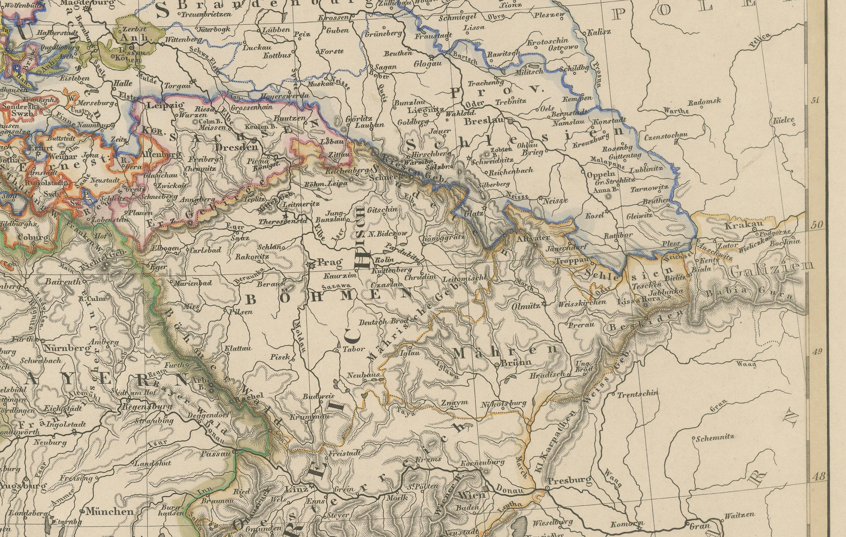
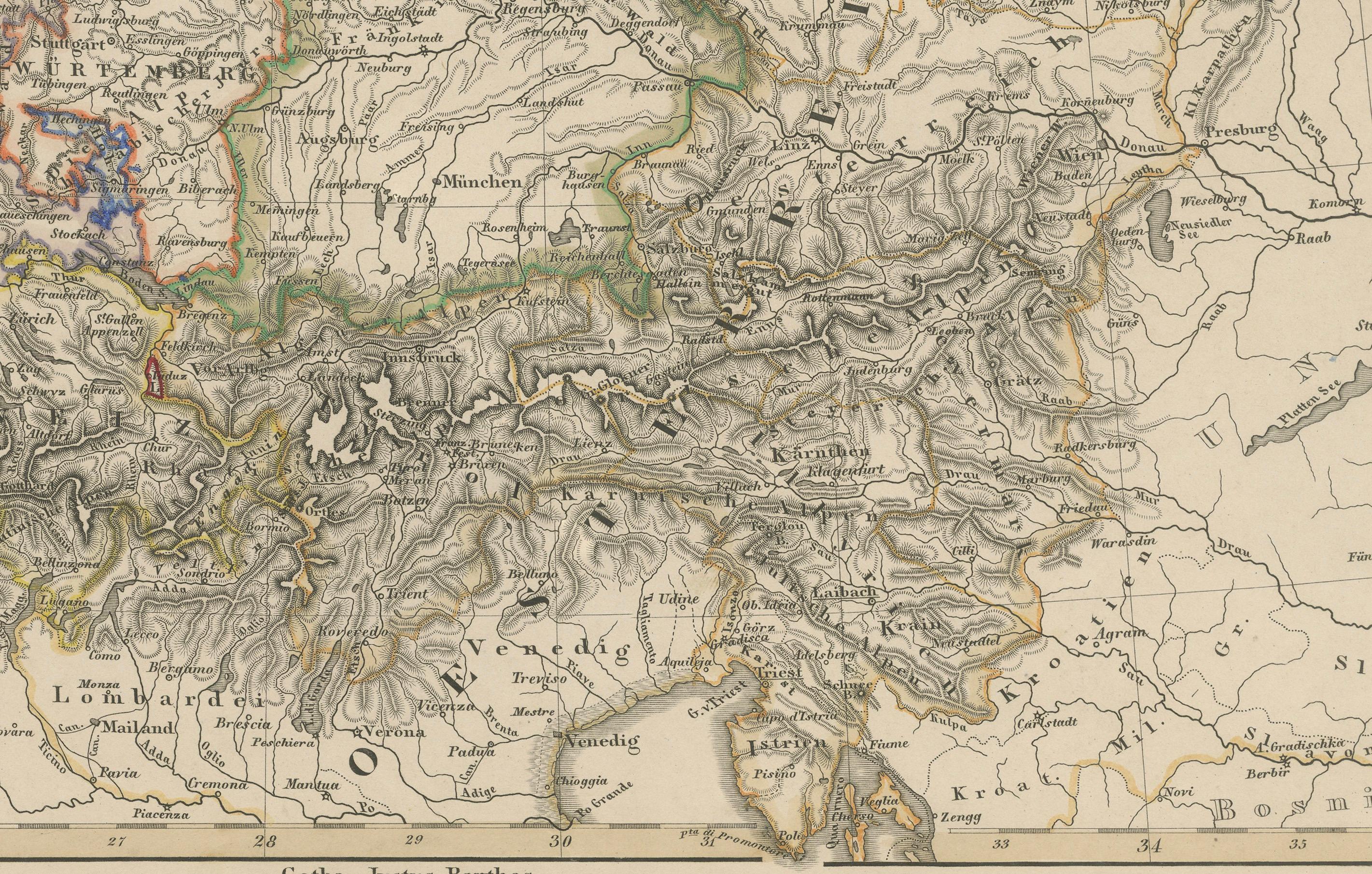
The map extends from the North Sea and the Netherlands in the northwest to Austria and parts of Northern Italy in the southeast. It includes present-day Germany, the Netherlands, Belgium, Switzerland, Luxembourg, and parts of France, Austria, Poland, and northern Italy. Each political entity within the German Confederation is outlined in hand-colored borders, emphasizing the fragmentation of the region into various kingdoms, duchies, electorates, and principalities such as Prussia, Bavaria, Saxony, Württemberg, Baden, and Hanover.
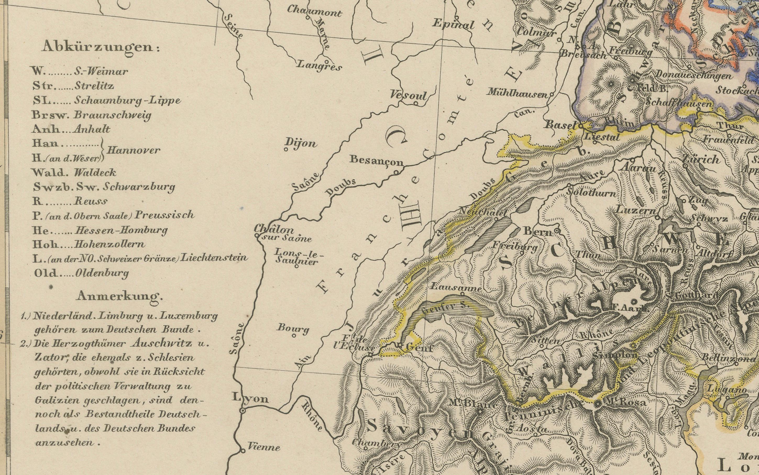
Notable features include the finely rendered topography, especially the Alpine regions to the south, and the careful delineation of river systems such as the Rhine, Elbe, and Danube. Major cities like Berlin, Vienna, Amsterdam, and Brussels are prominently marked, and the dense road and railway networks reflect the rapid modernization of the era. A legend in the lower-left corner categorizes the different political entities, adding to the educational value of the piece.
This map is a product of the esteemed publishing house of Justus Perthes in Gotha, known for high-quality cartographic works. It serves not only as an important historical document but also as an attractive decorative piece for those interested in the geopolitical evolution of Europe.
Condition report:
Very good condition. Minor age-related toning in the margins. Centerfold as issued. Hand-coloring is clean and well-preserved. No significant tears or repairs. Please examine the image carefully for further details.
Framing tips:
This map would look refined in a classic black or dark walnut wood frame with a soft ivory or antique white mat. Consider using non-reflective UV-protective glass to preserve the clarity of the engraving and the delicate hand-coloring. Its clean lines and historical content make it ideal for a study, library, or office.
Technique: Engraving with original hand-coloring
Maker: F. von Stülpnagel, published by Justus Perthes, Gotha, 1857