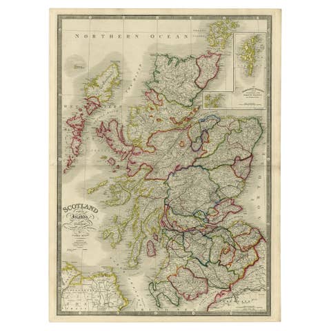
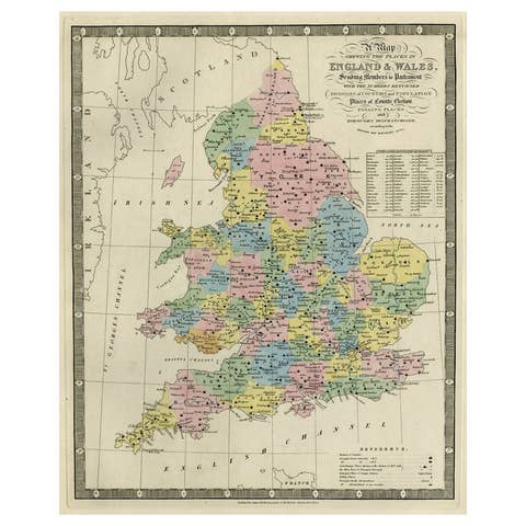
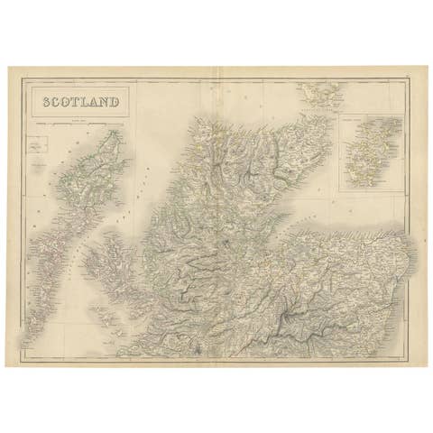
Antique Map of Britain & Ireland with North Sea Detail – 1856 Stülpnagel
€ 420
One of a kind: this is the sheet in the photographs. Ships from Langweer, the Netherlands.
Date
1856
Sheet size
37.5 × 45.4 cm (14.8 × 17.9 in)
Condition
Good
Reference
BG-05552-19
Condition
Very good condition. Light age-toning in the margins. Crisp plate marks and fine hand-coloring. No tears or significant stains.
About this sheet
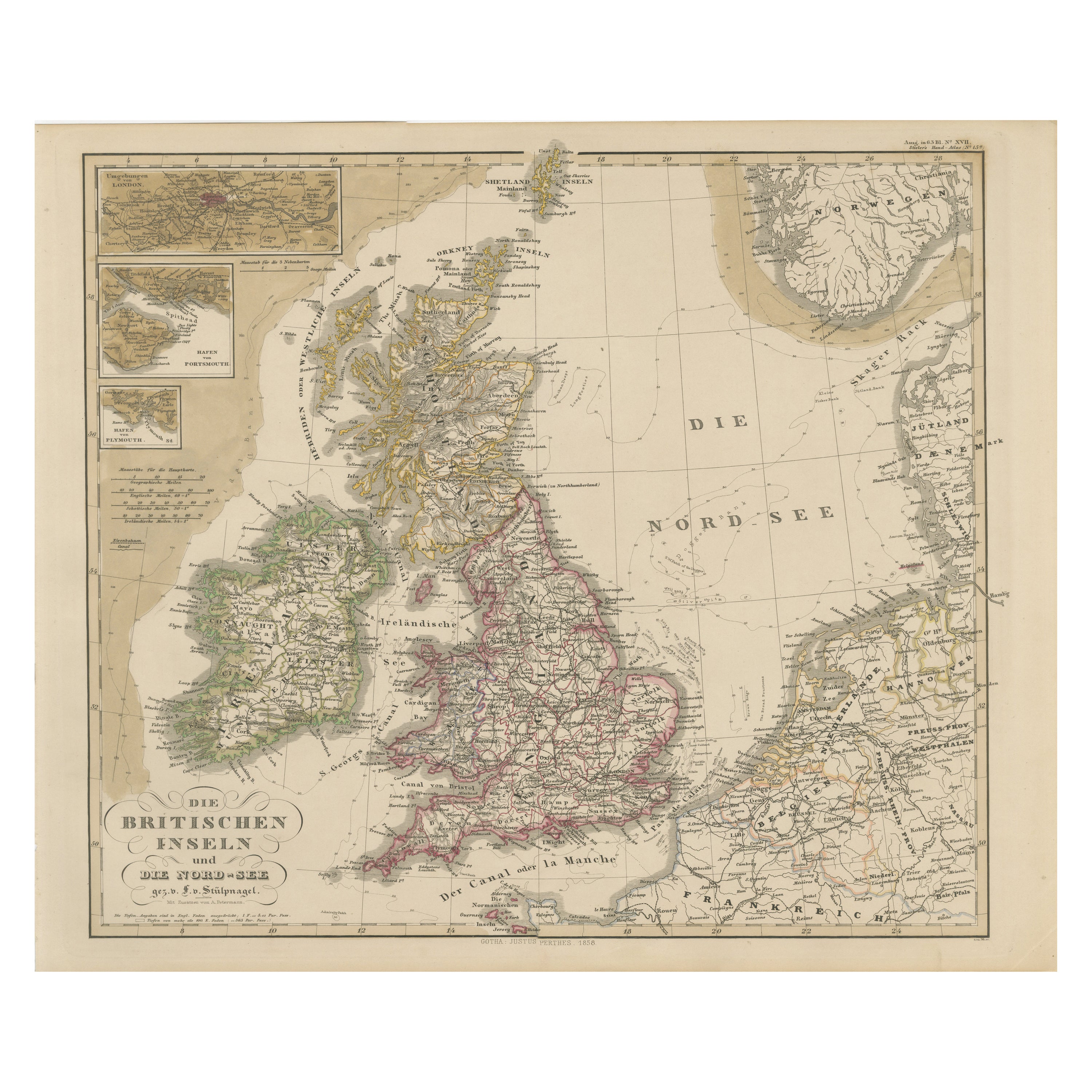
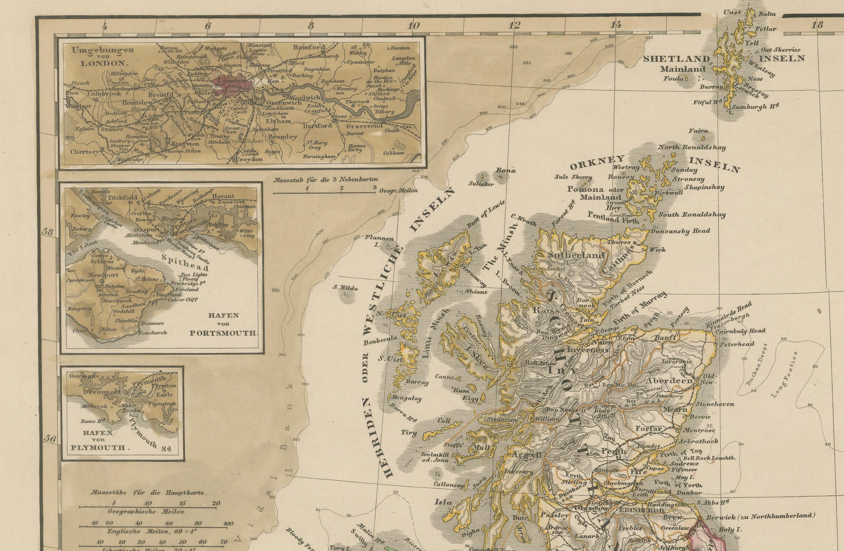
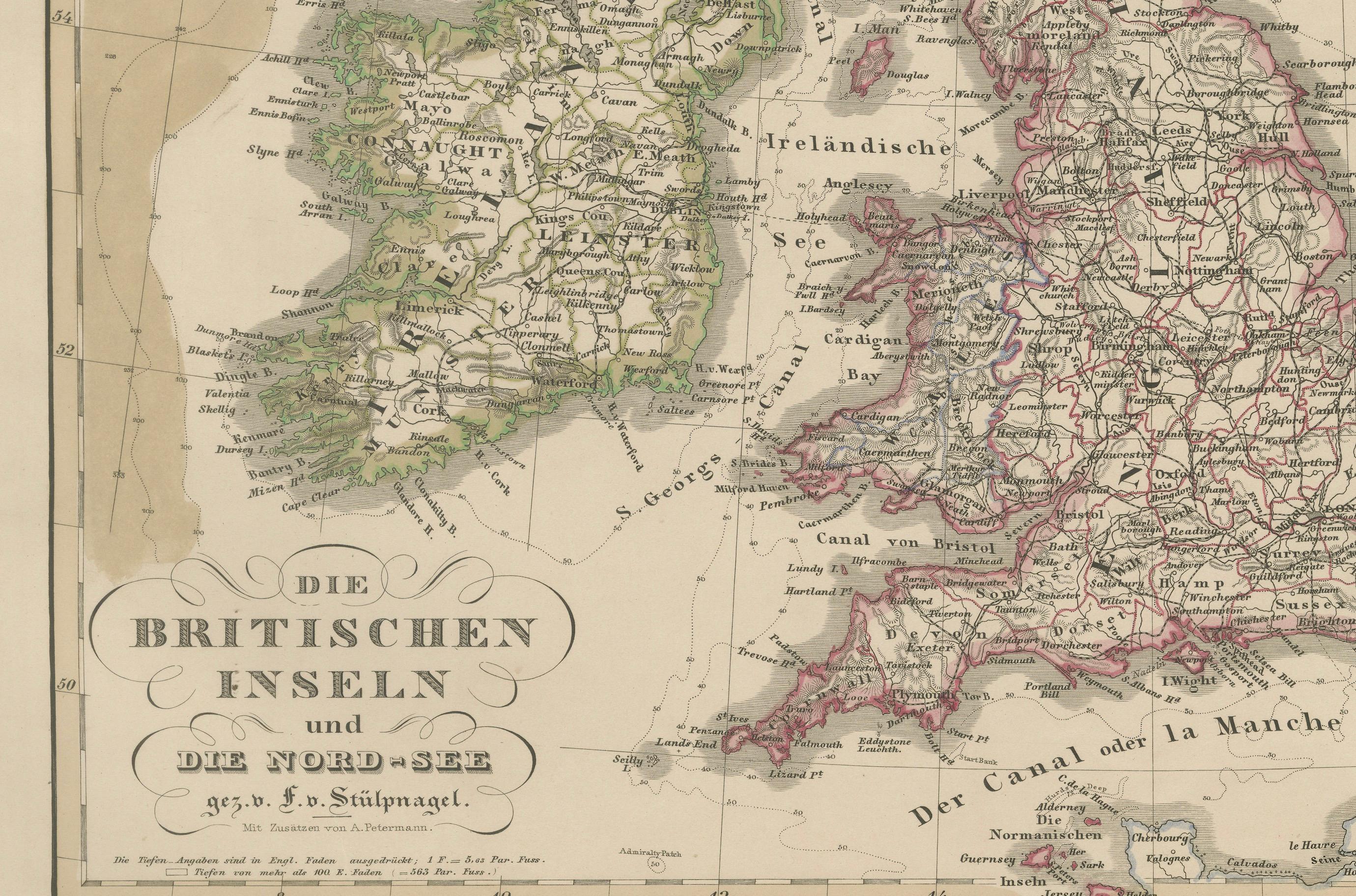
Antique Map of the British Isles & North Sea by Stülpnagel, 1856
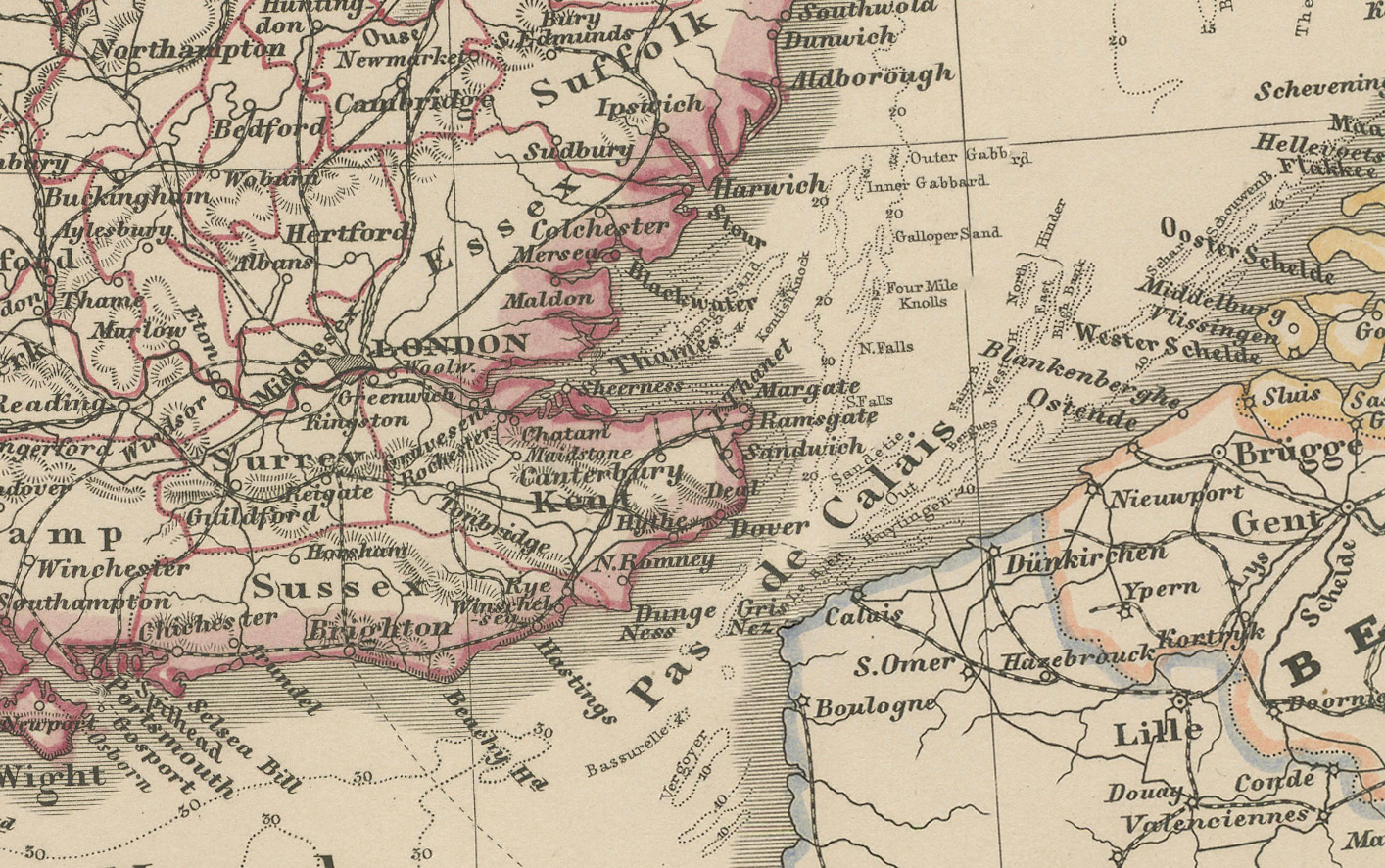
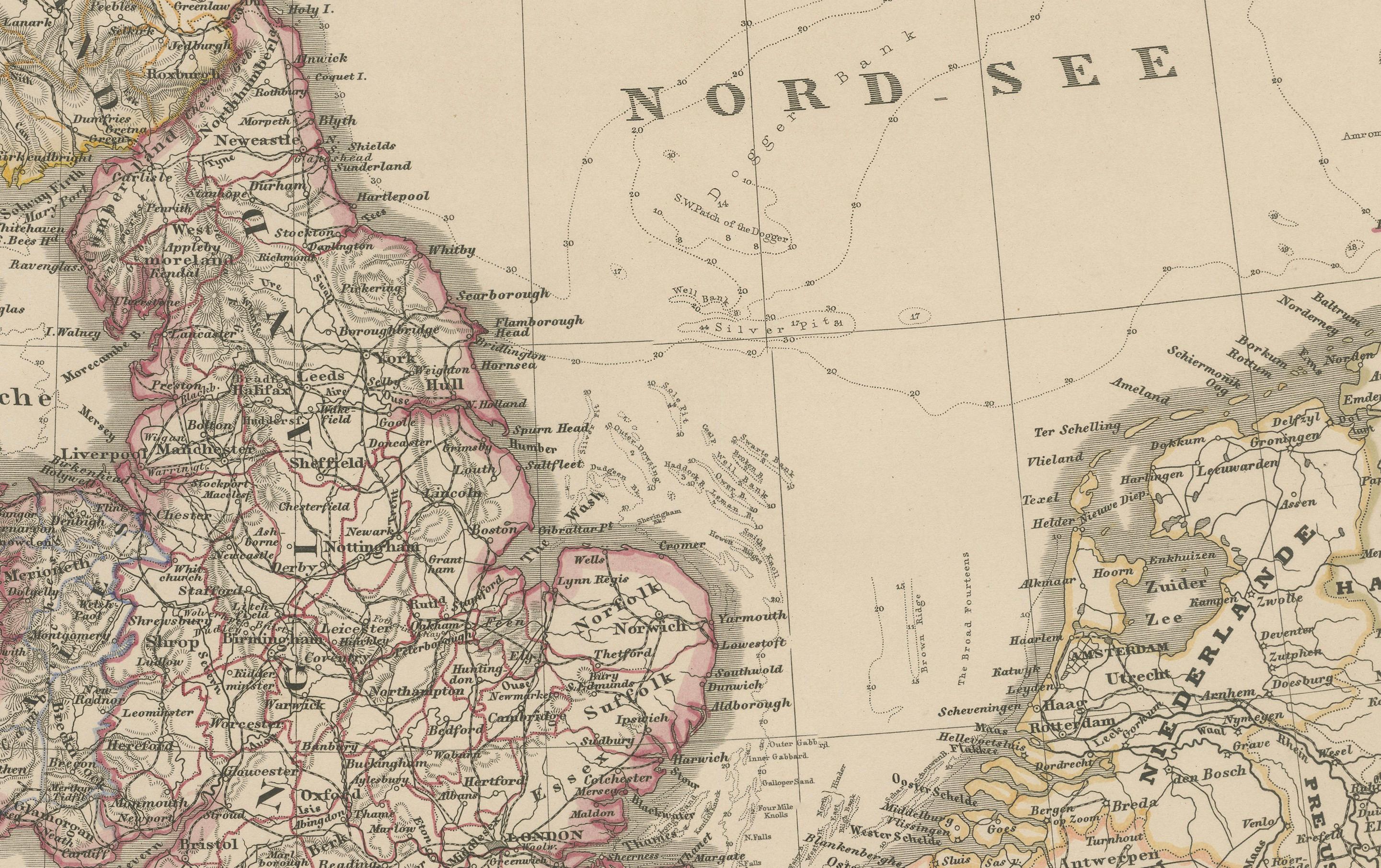
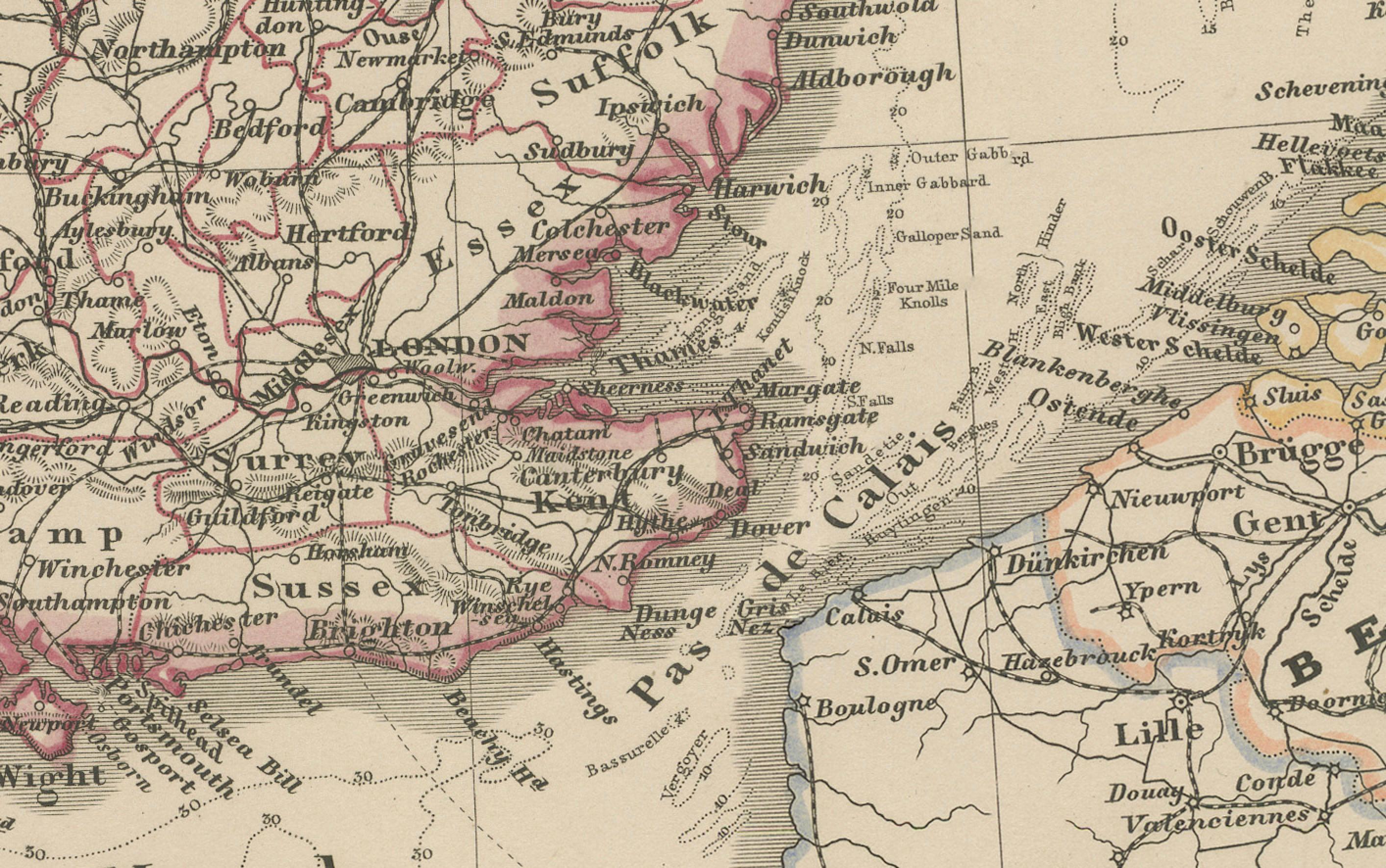
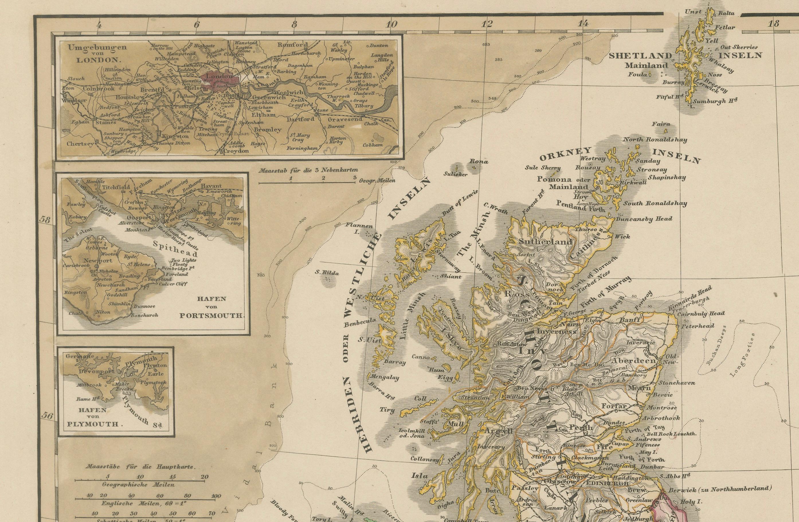
This beautifully detailed 1856 map titled *"Die Britischen Inseln und die Nord-See"* was drawn by F. von Stülpnagel and published by Justus Perthes in Gotha. It presents a rich and accurate cartographic rendering of the British Isles, including England, Scotland, Ireland, and Wales, along with surrounding waters and neighboring parts of mainland Europe.
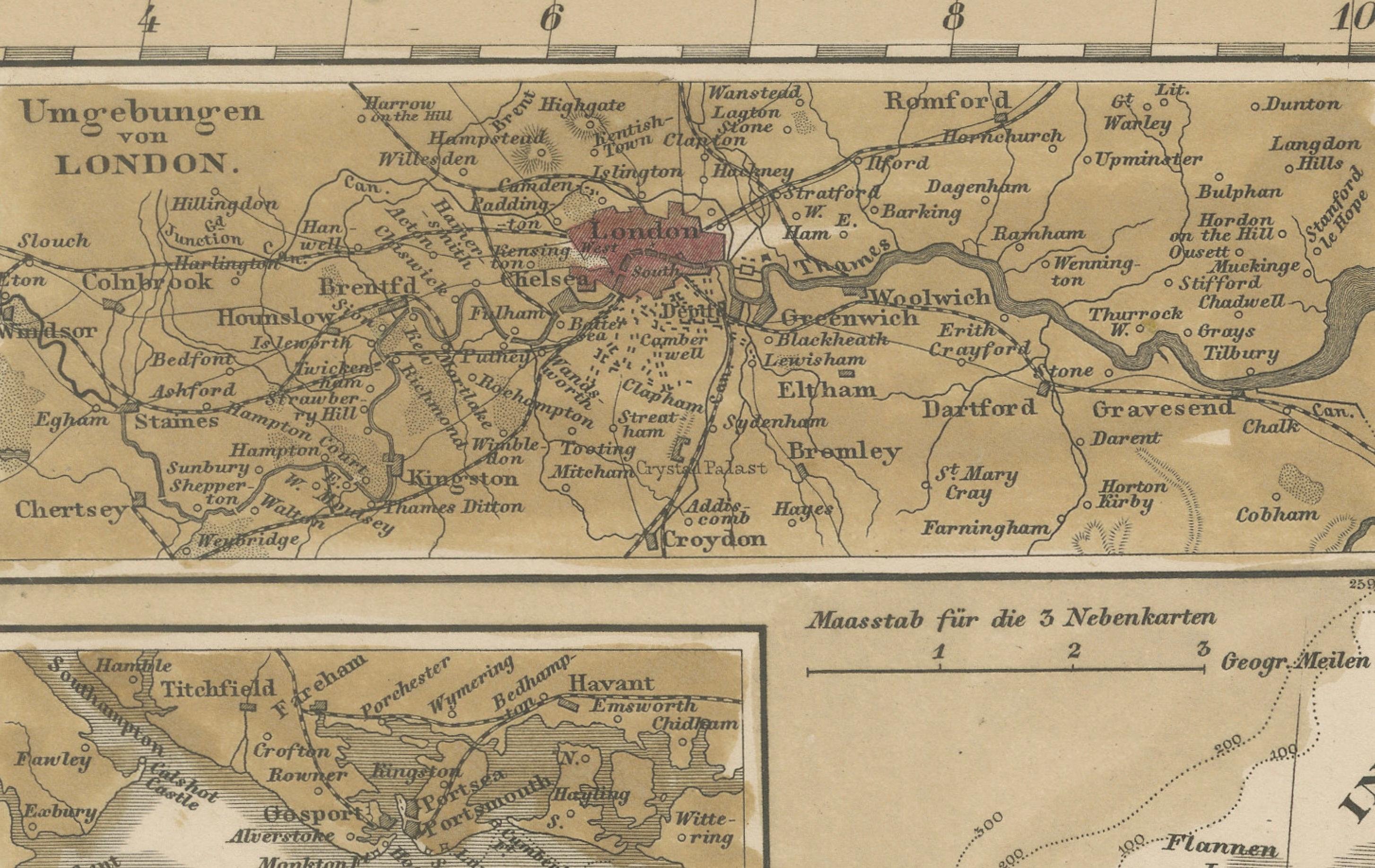
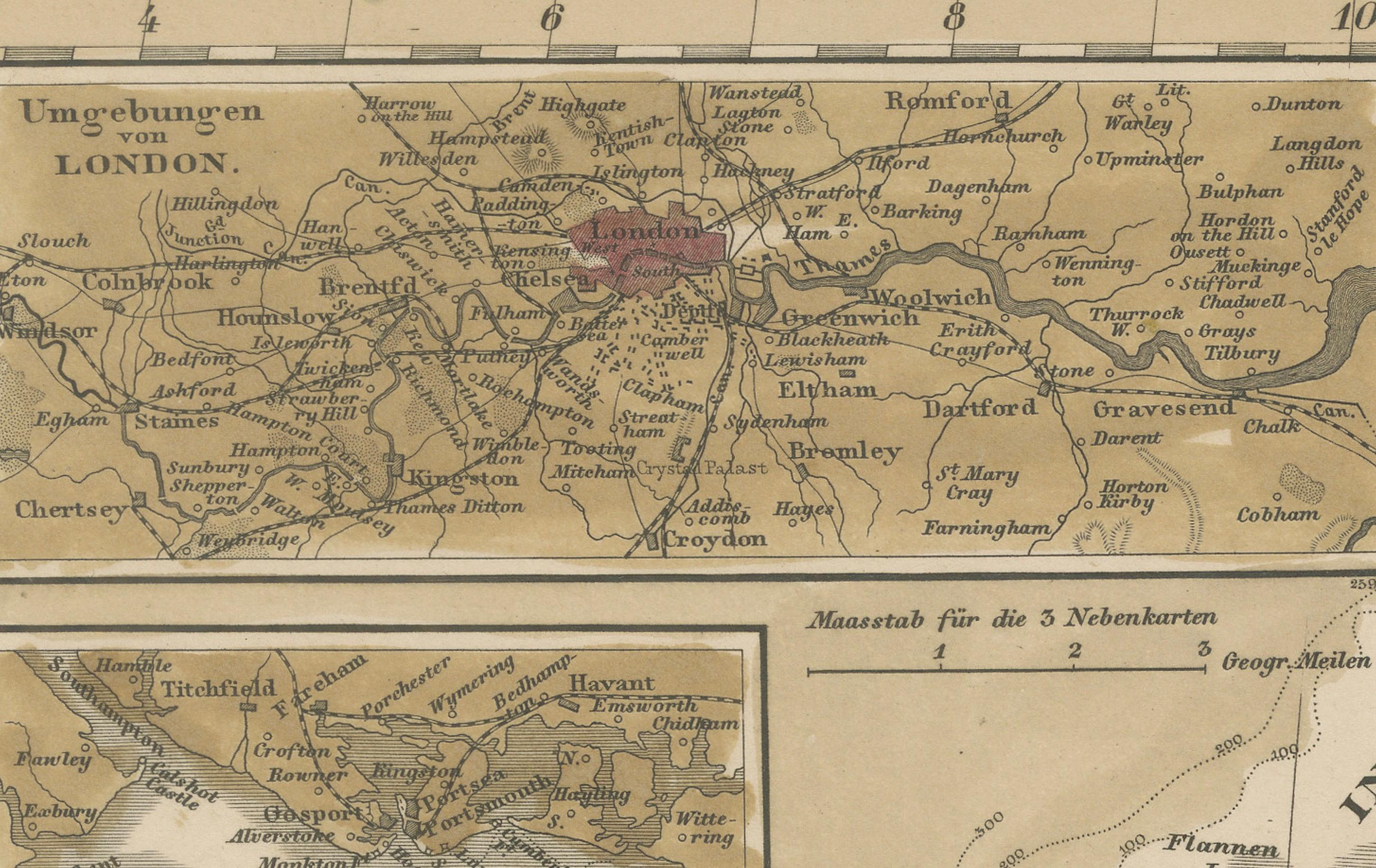
The British Isles are color-coded by political divisions, with counties and provinces finely delineated and labeled in German. Important cities like London, Edinburgh, Dublin, and Belfast are prominently marked. Ireland is shown in full with its provincial boundaries, while Scotland is mapped with exceptional topographical detail from the Hebrides to the Shetland Islands. Insets include enlarged plans of key naval or urban areas such as London and the Thames Estuary, Plymouth, and Portsmouth, adding practical depth to the cartography.
The map stretches eastward to include the coasts of the Netherlands, Belgium, and parts of western Norway and Denmark, illustrating key sea routes across the North Sea. The maritime theme is reinforced by the title's inclusion of "die Nord-See," emphasizing the importance of naval and trade connectivity in the mid-19th century.
This map is an outstanding example of German cartographic excellence during a period of heightened interest in geography and exploration. It would appeal to collectors of British or maritime history, as well as those interested in 19th-century European cartography.
Condition report: Very good condition. Light age-toning in the margins. Crisp plate marks and fine hand-coloring. No tears or significant stains.
Framing tips: Works beautifully with a dark walnut or ebony frame to contrast the pale background. Use a double mat: soft cream with a deep red inner border to echo the detailing of British counties.
Technique: Engraving with original hand coloring Maker: F. von Stülpnagel / Justus Perthes, Gotha, 1856