About this sheet
Breda North Brabant Map 1842 – Antique Dutch Folding Map
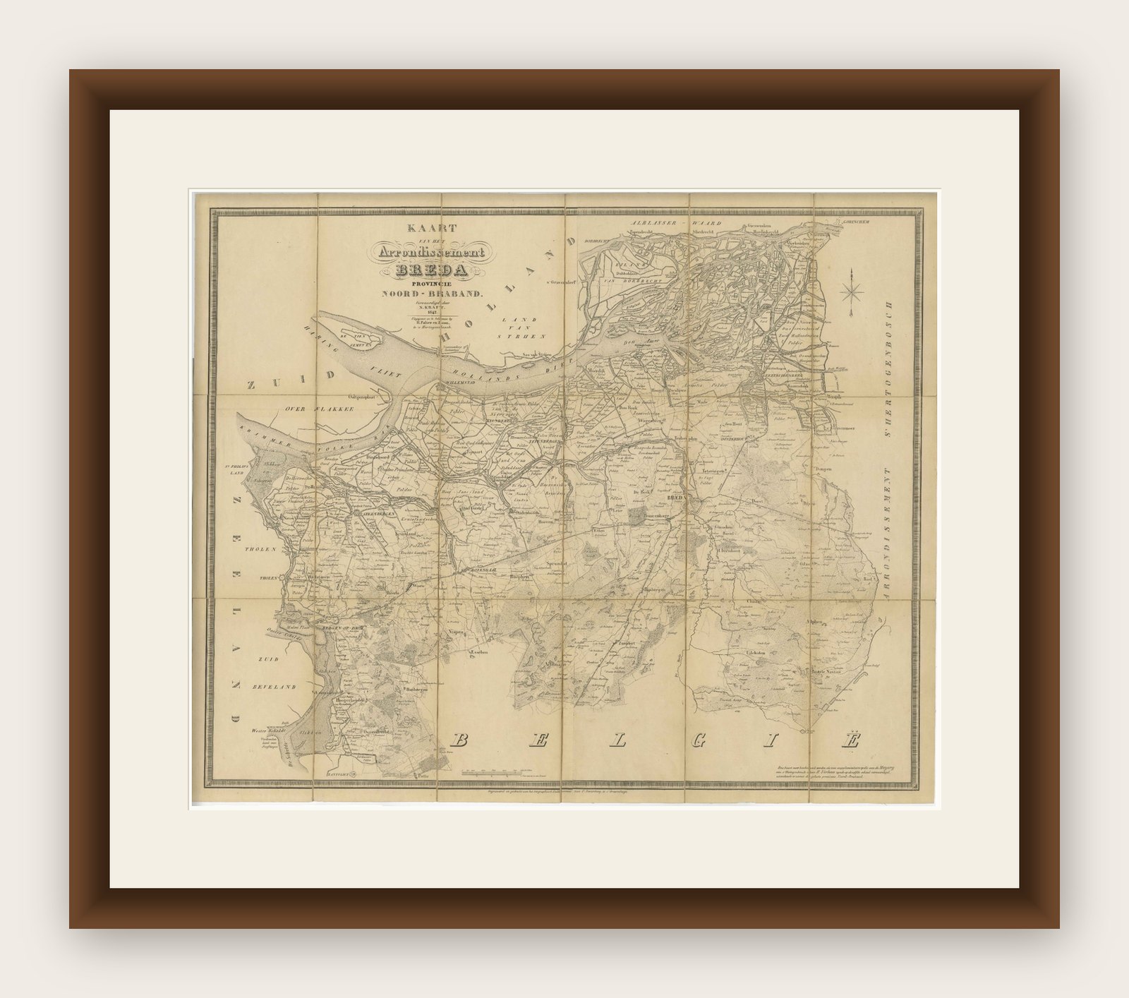
This antique folding map, titled “Kaart van het Arrondissement Breda in de Provincie Noord-Braband”, depicts the city of Breda and its surrounding arrondissement in the Dutch province of North Brabant. Published around 1842, it provides a highly detailed view of this strategically important region along the Belgian border, dissected into panels and mounted on linen for practical use. The map was surveyed by A. Palier, land surveyor 1st class, and engraved by J. Kraft.
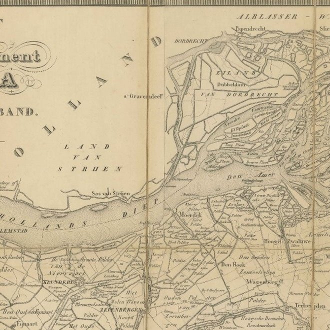
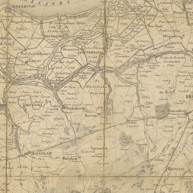
The map shows Breda and neighboring towns including Bergen op Zoom, Roosendaal, Oosterhout, and Tilburg, as well as the surrounding countryside with its network of roads, rivers, canals, and polders. The fortified city of Breda, with its distinctive star-shaped bastions, is prominently engraved, underlining its role as a key military stronghold in Dutch history. Other settlements are carefully marked, while natural features such as woods, heathlands, and waterways are also included.
The southern portion of the map extends into Belgium, reflecting the close ties and sometimes turbulent border between the Netherlands and Belgium in the first half of the 19th century, following Belgian independence in 1830. The western boundary includes Zeeland and Zuid-Beveland, showing the waterways that connect this region to the North Sea.
Engraved with precision, the map is practical yet elegant, offering not only geographic accuracy but also historical significance. Arrondissement maps like this were used for administration, military planning, and travel, and the linen backing allowed for repeated folding and use in the field. Today, they provide a valuable record of mid-19th-century Dutch cartography and local geography.
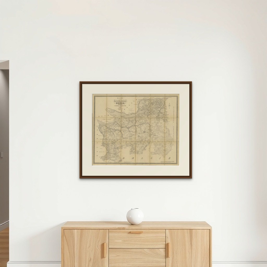
Framing tips: When unfolded, this map makes a striking wall display. A black or dark oak frame with a cream mat will highlight the engraved detail. Consider float-mounting to show the original linen panel structure, emphasizing its historical use as a folding map.
Collector’s note: Folding administrative maps of Dutch provinces and arrondissements from the mid-19th century are relatively scarce. They were produced for official and practical purposes, often in small print runs, and many were heavily used in the field. Maps of Breda are especially appealing to collectors, as the city’s historic role as a fortified stronghold makes it one of the most significant urban centers in Dutch military and political history.