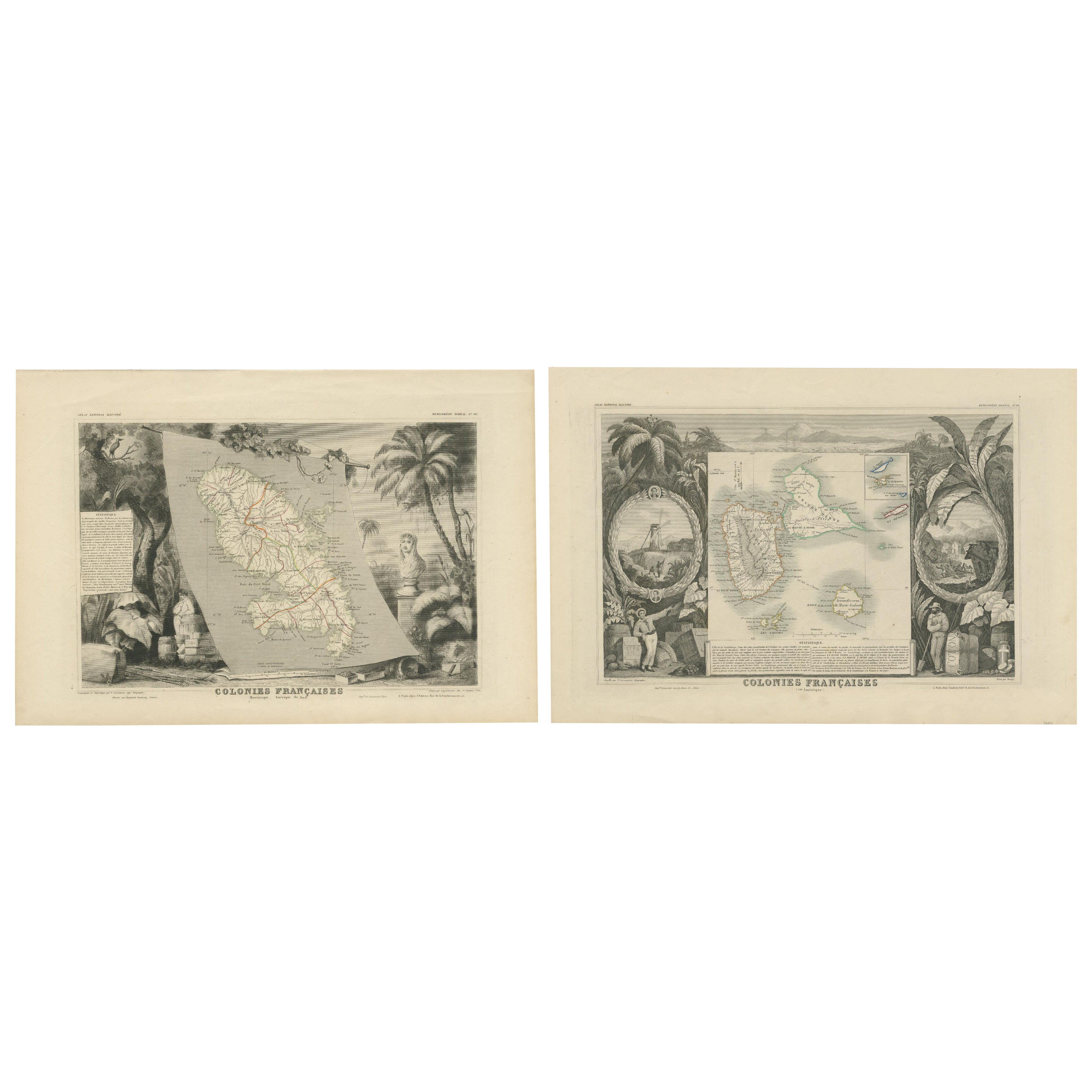
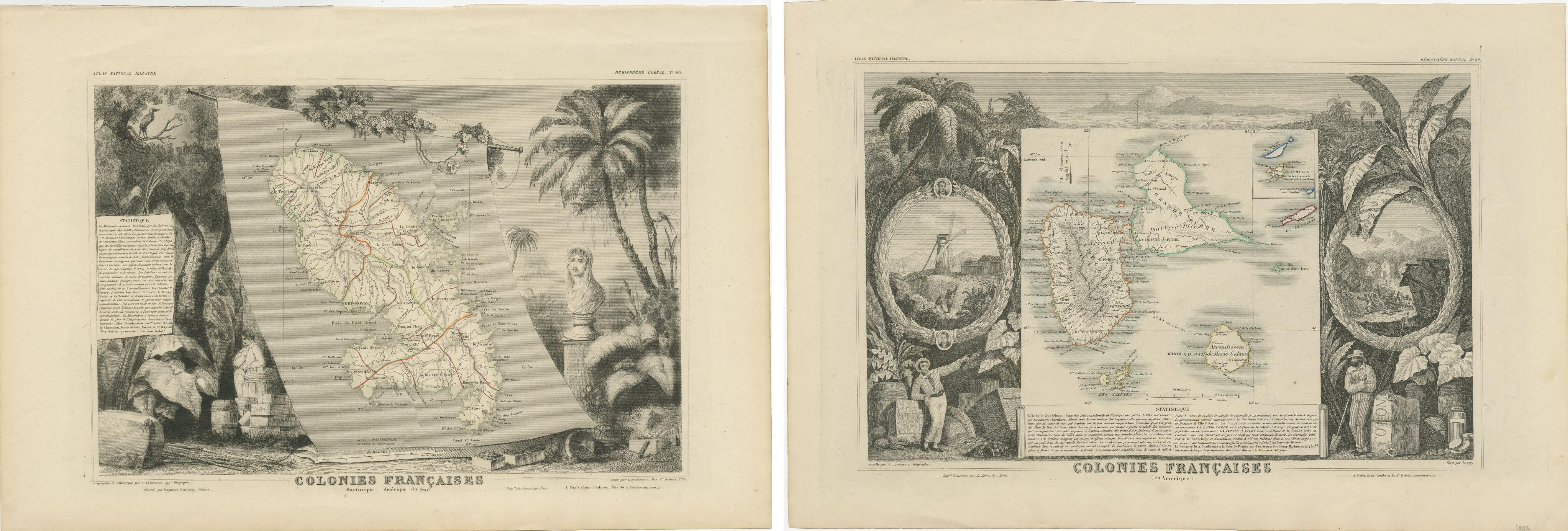
French Colonies in the Caribbean: Maps of Martinique and Guadeloupe (1852)
€ 330
One of a kind: this is the sheet in the photographs. Ships from Langweer, the Netherlands.
Date
1852
Sheet size
36 × 54 cm (14.2 × 21.3 in)
Reference
BG-13618-7 and BG-13618-8
Condition
good, given age. Overall light foxing. General age-related toning and/or occasional minor defects from handling. Please study scan carefully.
About this sheet
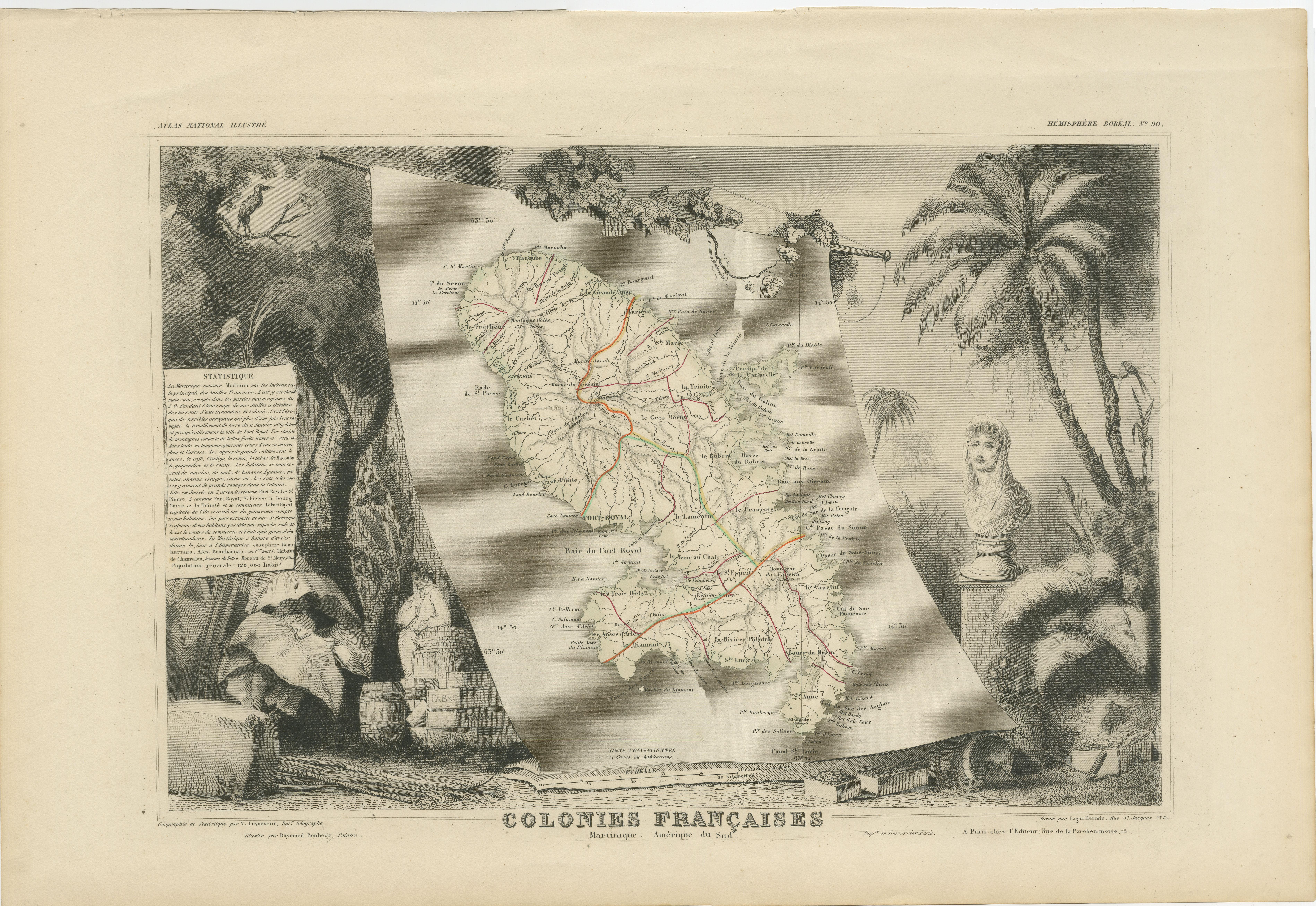
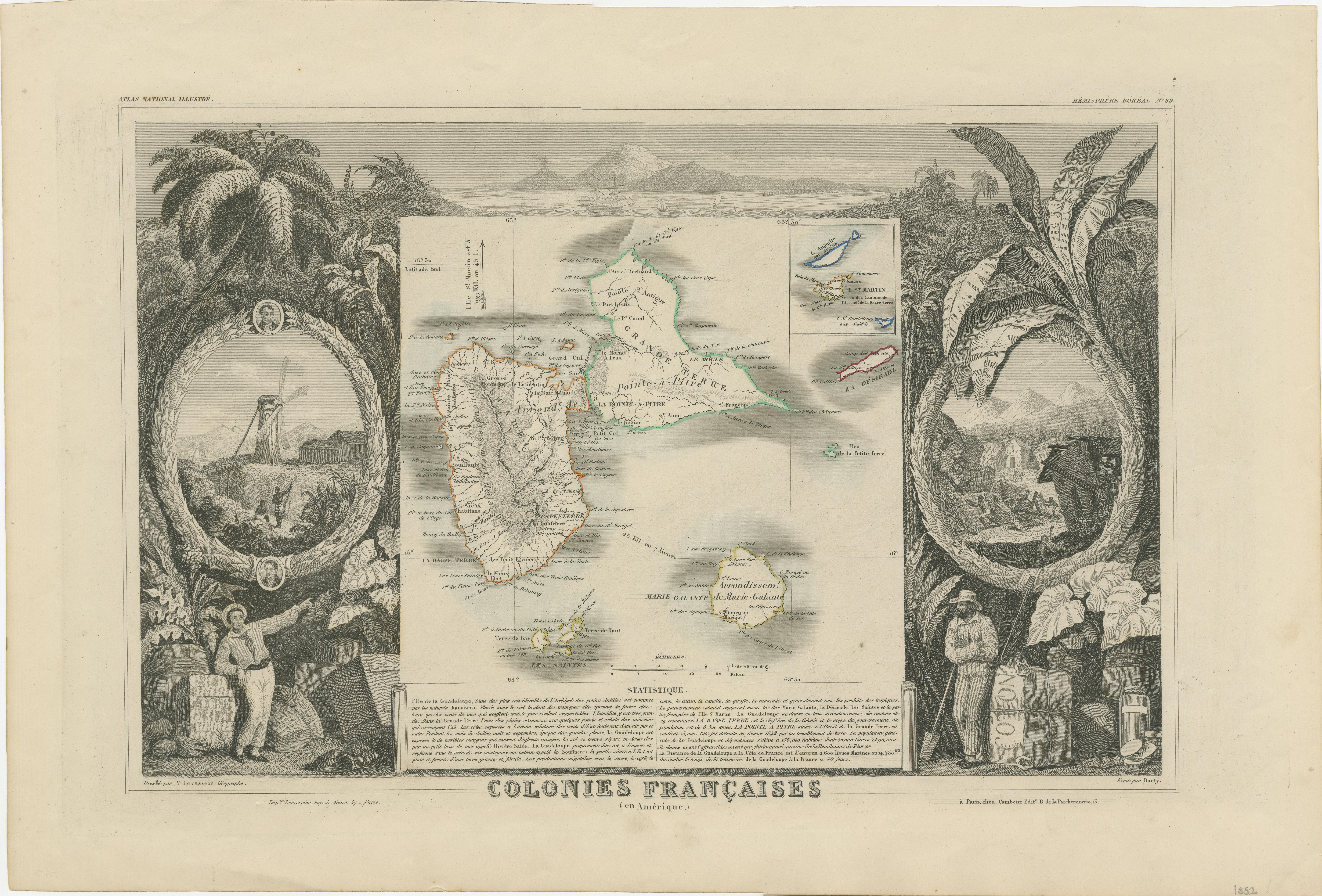
This pair of maps, published in 1852, provides a detailed representation of the French Caribbean colonies, specifically Martinique and Guadeloupe. They were part of the *Atlas Universel Illustré*, which presented not only maps but also artistic elements, highlighting aspects of the culture and history of the depicted regions.
Each map is surrounded by intricate engravings of tropical flora, fauna, and colonial life, offering a glimpse into the agricultural economy, including sugar and tobacco production, which played a vital role in the French colonies. Busts of notable figures and plantation scenes add to the historical significance of these prints.
The map of Martinique illustrates the island’s main roads, towns, and topography, while the Guadeloupe map, including neighboring islands, features similar details, helping viewers understand the geography and importance of these colonies in mid-19th century French expansion.
These maps not only served as geographical guides but also acted as political and economic statements, emphasizing France's colonial presence and the valuable resources found in these territories. The borders are hand-coloured.