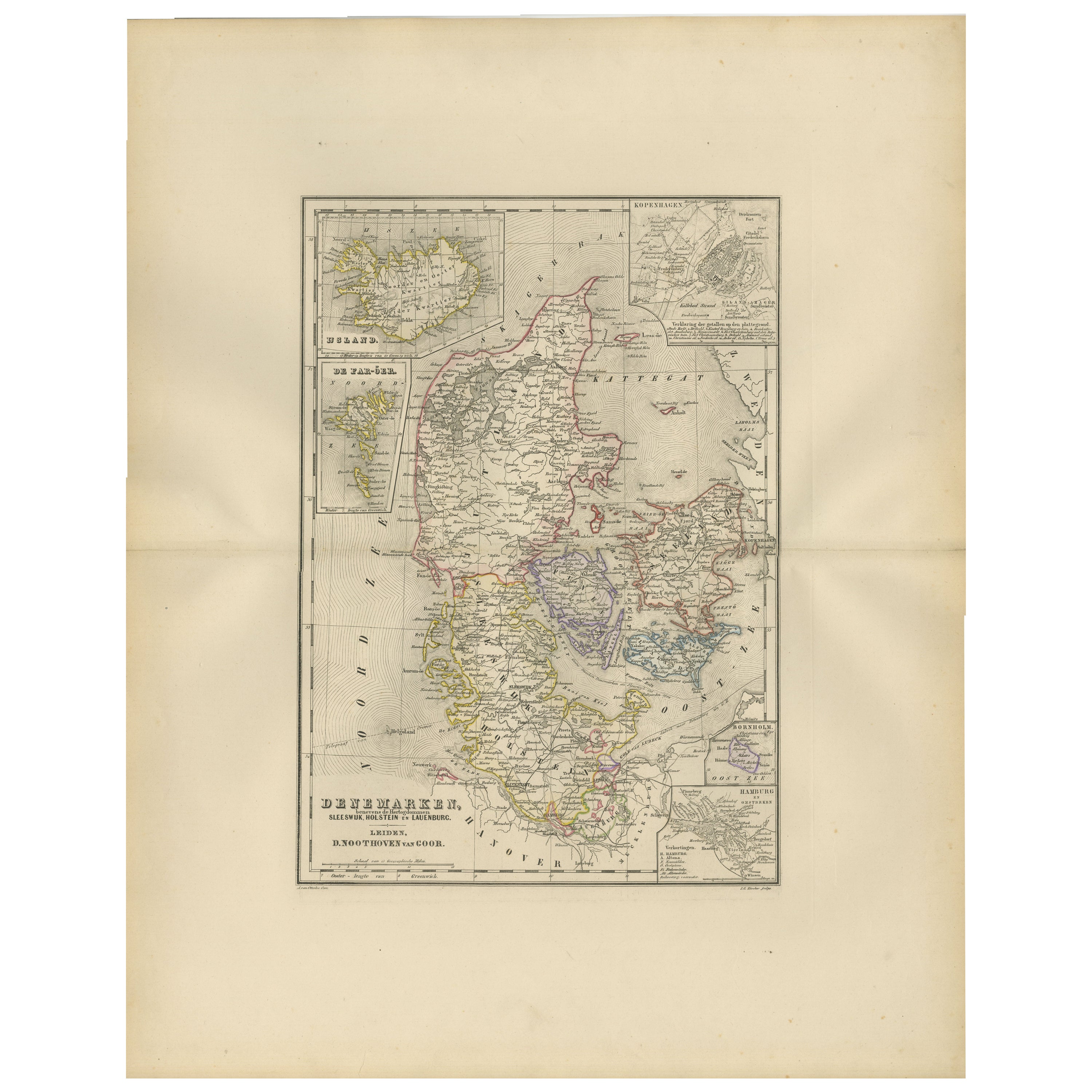
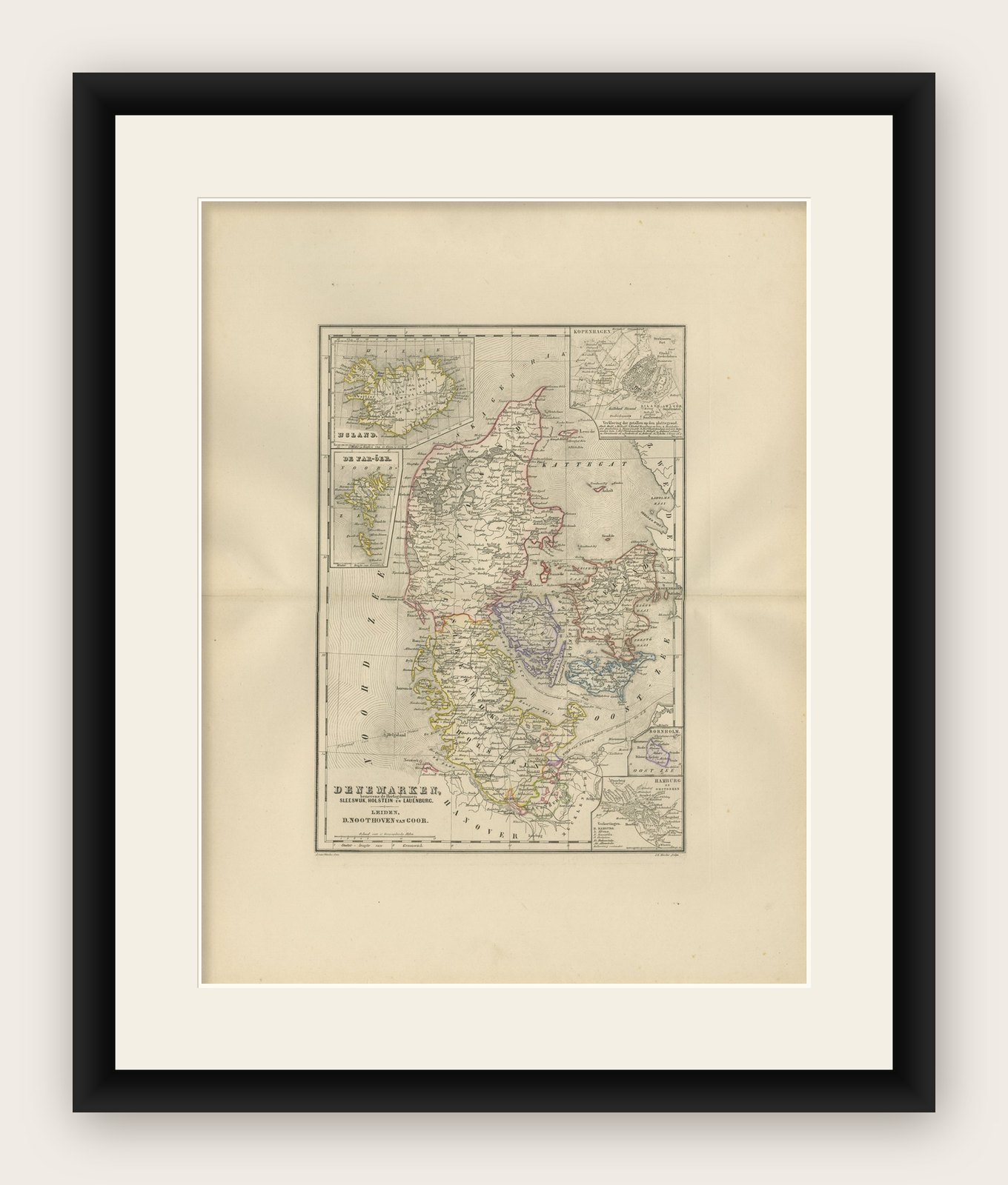
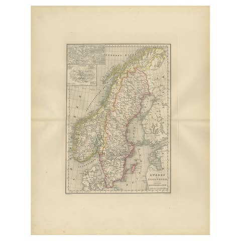
Map of Denmark, Schleswig, Holstein and Lauenburg – Leiden 1876
€ 320
Original antique · The actual sheet photographed · Certificate of authenticity on request · Sold unframed · Worldwide shipping from € 15 (rates)
Date
1876
Mapmaker / artist
M. Frijlink & A. van Otterloo, published by D. Noothoven van Goor, Leiden, 1876
Technique
Lithograph with original hand-coloring
Sheet size
55 × 44 cm (21.7 × 17.3 in)
Condition
Good
Reference
BG-12788-10
What the condition grades mean
Excellent
Bright and clean, with no faults worth mentioning.
Very good
Only light signs of age, such as faint toning.
Good
Normal signs of age for a sheet of this period: toning, some foxing, small marks or neat old repairs.
Fair
Clear faults such as staining, tears or repairs, priced to match.
Every fault we see is written in the condition note, and the whole sheet is shown uncropped in the photos.
Condition
Good condition with gentle age toning and minor foxing in the wide margins. Original center fold as issued. The printed image is crisp, and the hand-coloring remains fresh and even. No tears, losses, or repairs.
About this sheet
This 19th-century Dutch map, titled “Denemarken, Sleeswijk, Holstein en Lauenburg,” was published in 1876 in the Nieuwe Hand-Atlas der Aarde in haren Tegenwoordigen Toestand by M. Frijlink, revised by A. van Otterloo, and printed by D. Noothoven van Goor in Leiden. The map provides a precise and finely detailed depiction of Denmark and the adjacent territories of Schleswig, Holstein, and Lauenburg, reflecting the complex political geography of the region following the mid-19th century territorial changes.
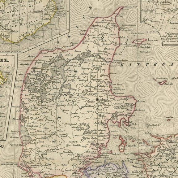
Each province and duchy is outlined in delicate hand-coloring—yellow, pink, green, or blue—to indicate political divisions and administrative borders. Major towns, roads, and waterways are clearly engraved, including Copenhagen, Odense, Aarhus, Kiel, and Flensburg. Insets enrich the composition: one shows Iceland (IJsland), another the Faroe Islands (De Faer-Öer), a detailed city plan of Copenhagen (Kopenhagen), and a smaller inset of Hamburg (Hamburg en Omstreken). Together, these provide an overview of the Danish kingdom and its dependencies during a period of transformation following the Second Schleswig War (1864).
This map embodies the precision and elegance characteristic of Dutch educational cartography in the late 19th century. It served both as an instructional resource and as an example of refined lithographic craftsmanship. The clarity of lettering, balanced layout, and informative insets demonstrate the care with which the Noothoven van Goor press produced its atlas plates.
Condition report: Good condition with gentle age toning and minor foxing in the wide margins. Original center fold as issued. The printed image is crisp, and the hand-coloring remains fresh and even. No tears, losses, or repairs.
Framing tips: A light cream mat with a narrow black or walnut frame complements the fine detail and balanced proportions of this map. Its composition, with ample margins and elegant insets, makes it ideal for framing in a study, hallway, or classic interior.