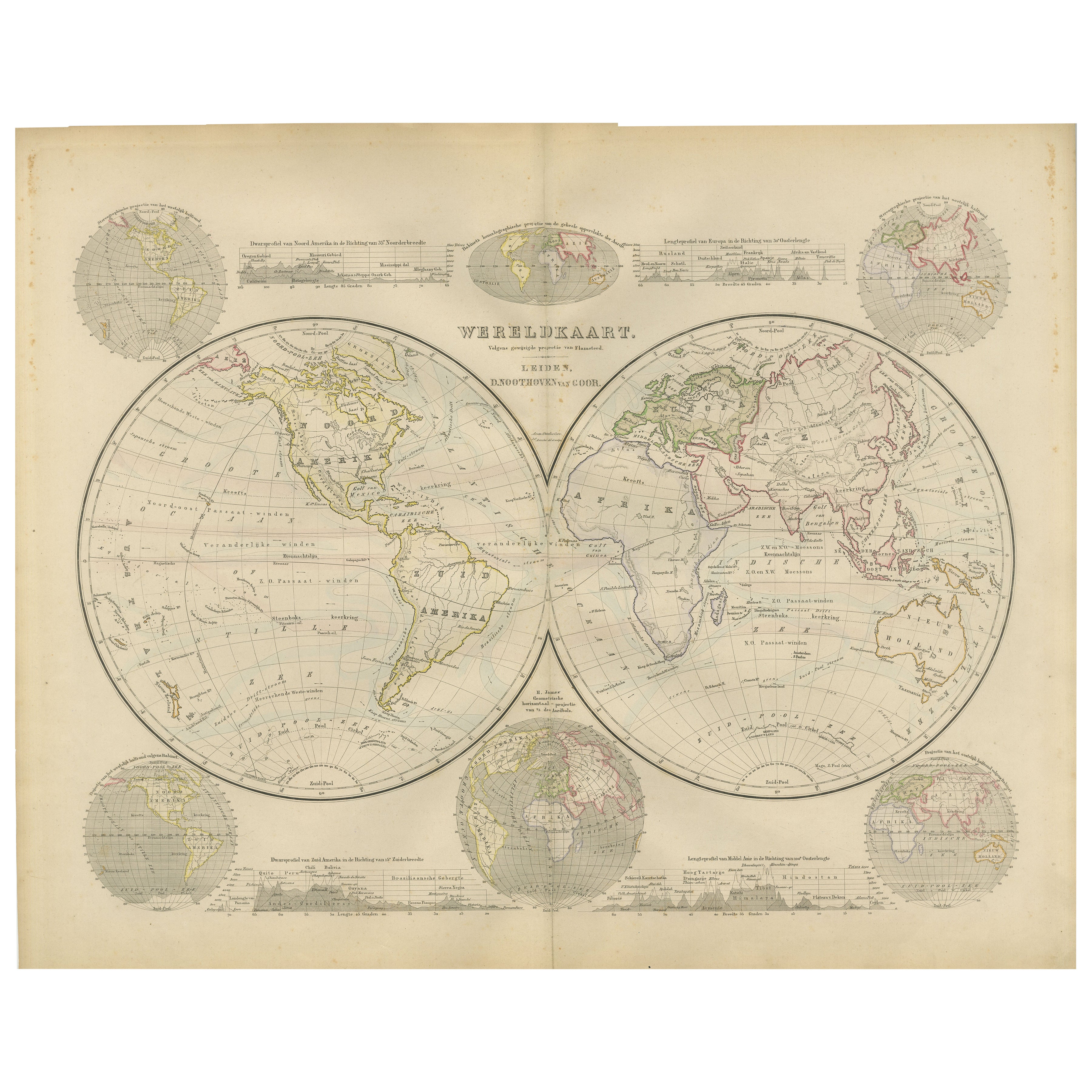
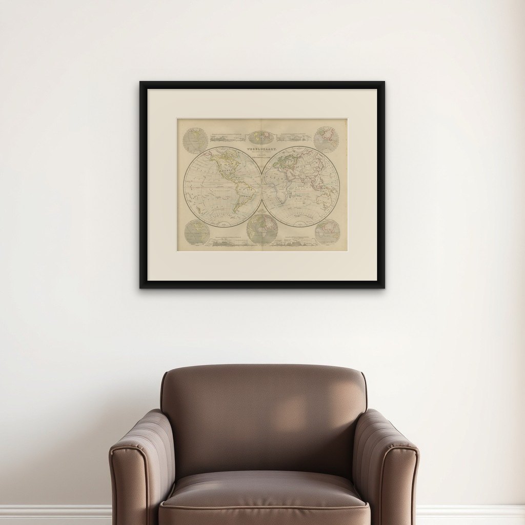
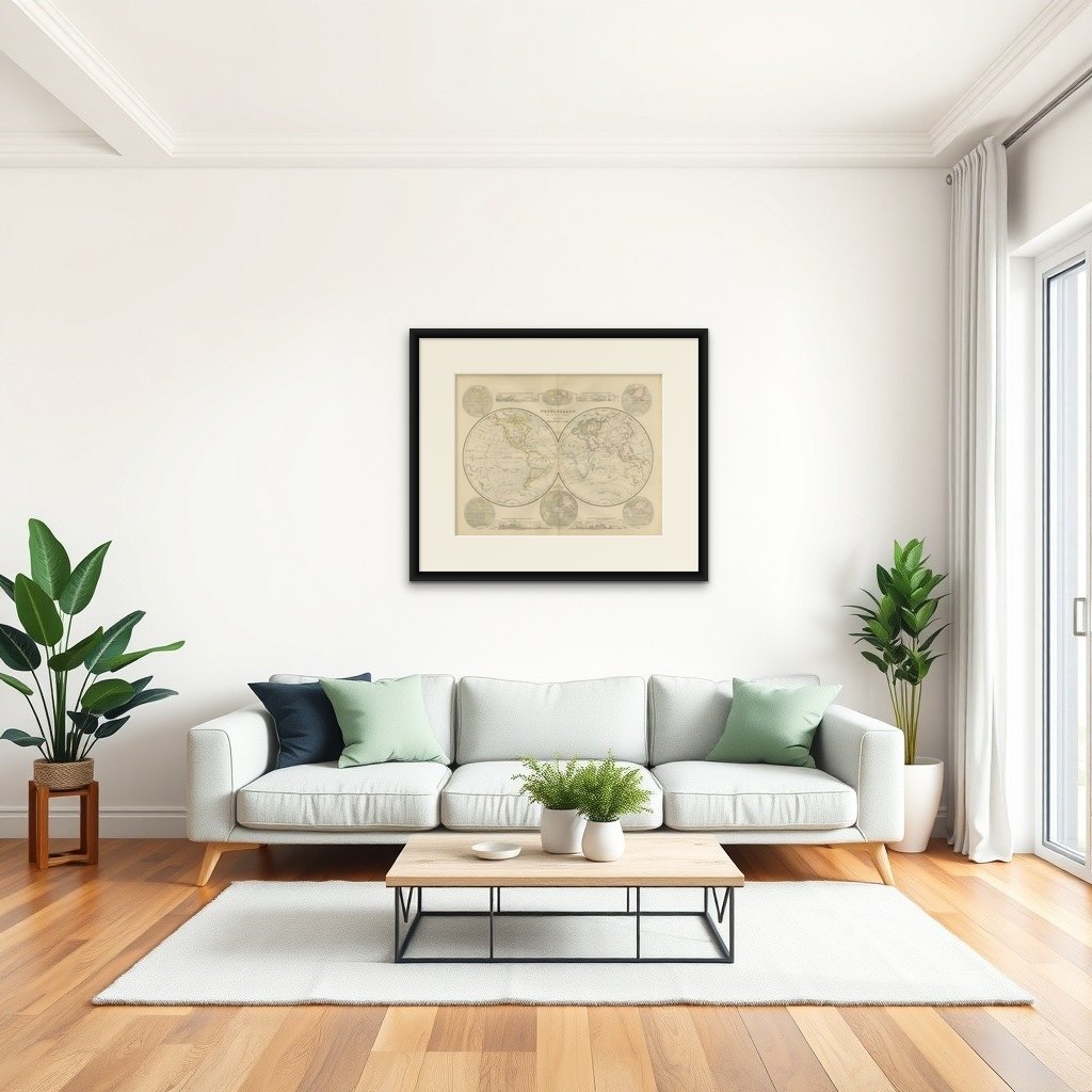
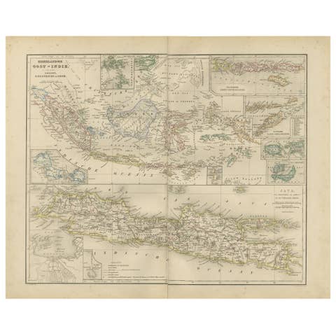
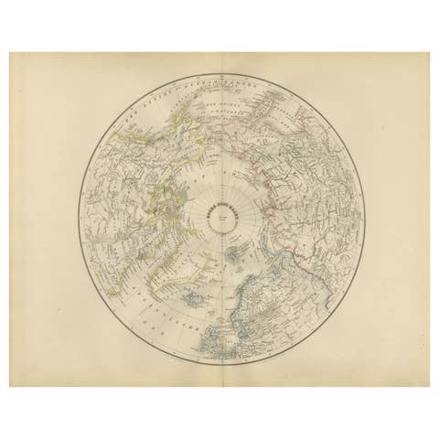
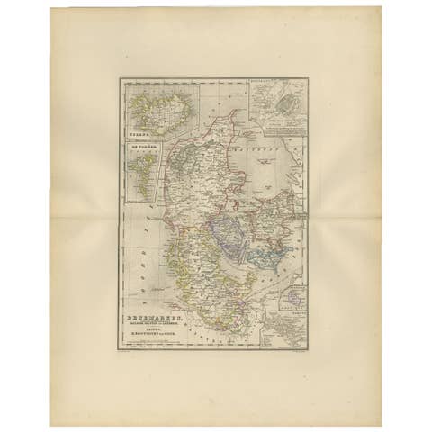
Double Hemisphere World Map from the Nieuwe Hand-Atlas, Leiden 1876
€ 300
Original antique · The actual sheet photographed · Certificate of authenticity on request · Sold unframed · Worldwide shipping from € 15 (rates)
Date
1876
Mapmaker / artist
M. Frijlink & A. van Otterloo, Leiden, 1876
Technique
Lithograph with original hand-coloring
Sheet size
44 × 55 cm (17.3 × 21.7 in)
Condition
Good
Reference
BG-12788-2
What the condition grades mean
Excellent
Bright and clean, with no faults worth mentioning.
Very good
Only light signs of age, such as faint toning.
Good
Normal signs of age for a sheet of this period: toning, some foxing, small marks or neat old repairs.
Fair
Clear faults such as staining, tears or repairs, priced to match.
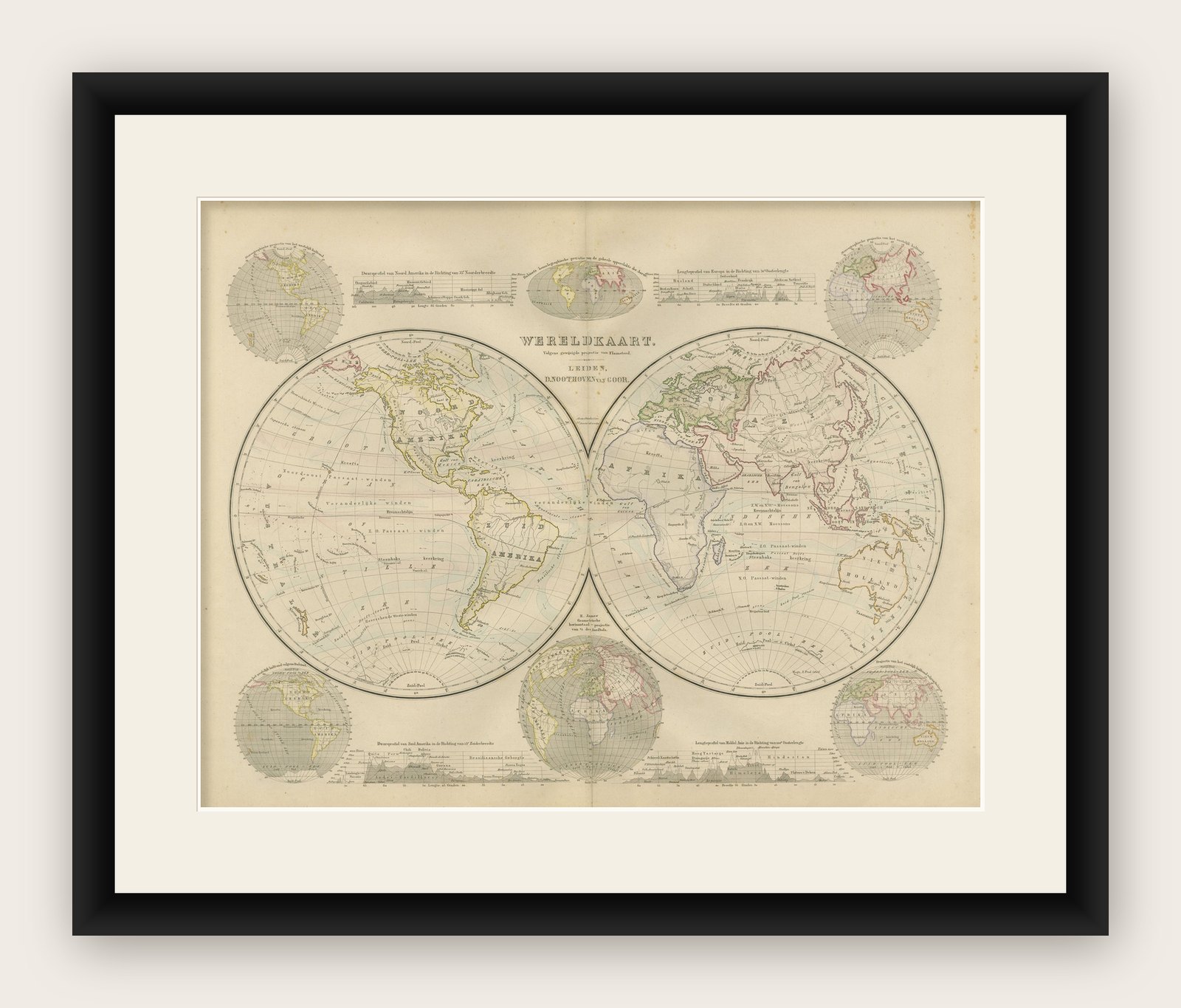
Every fault we see is written in the condition note, and the whole sheet is shown uncropped in the photos.
Condition
Good condition with soft age toning and light foxing around the margins. Central fold as issued. Colors remain clean and fresh, and the impression is strong with no tears or repairs.
About this sheet
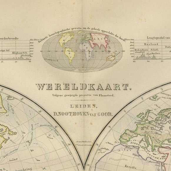
This 19th-century double-hemisphere world map, titled “Wereldkaart volgens gewone projectie van Flamsteed,” was published in 1876 in the Nieuwe Hand-Atlas der Aarde in haren Tegenwoordigen Toestand by M. Frijlink, revised by A. van Otterloo and printed by D. Noothoven van Goor in Leiden. The map presents the world in elegant twin hemispheres, with fine hand-coloring and precise Dutch engraving characteristic of the late 19th century.
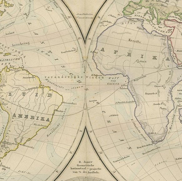
The left hemisphere shows the Americas, while the right illustrates Europe, Africa, Asia, and Australia. Each region is outlined in soft pastel hues to mark national borders and colonial possessions. Clear annotations indicate ocean currents, trade winds, and lines of latitude and longitude, while delicate hachuring defines mountains and continental forms. Smaller inset maps appear around the edges, showing alternative projections, polar regions, and a comparative profile of world elevations and sea depths.
This map was designed as an educational tool in Frijlink’s atlas, which became a widely used reference for schools and institutions throughout the Netherlands. Its accuracy and aesthetic balance reflect the precision of Dutch cartography in the late 19th century, bridging classical and scientific approaches to mapmaking. The combination of beauty and clarity makes it both a decorative and historical object of interest.
Condition report: Good condition with soft age toning and light foxing around the margins. Central fold as issued. Colors remain clean and fresh, and the impression is strong with no tears or repairs.
Framing tips: This piece looks elegant when mounted with a soft cream or ivory mat and framed in dark walnut or black wood. Its harmonious composition and pastel tones make it ideal for display in a study, hallway, or office.