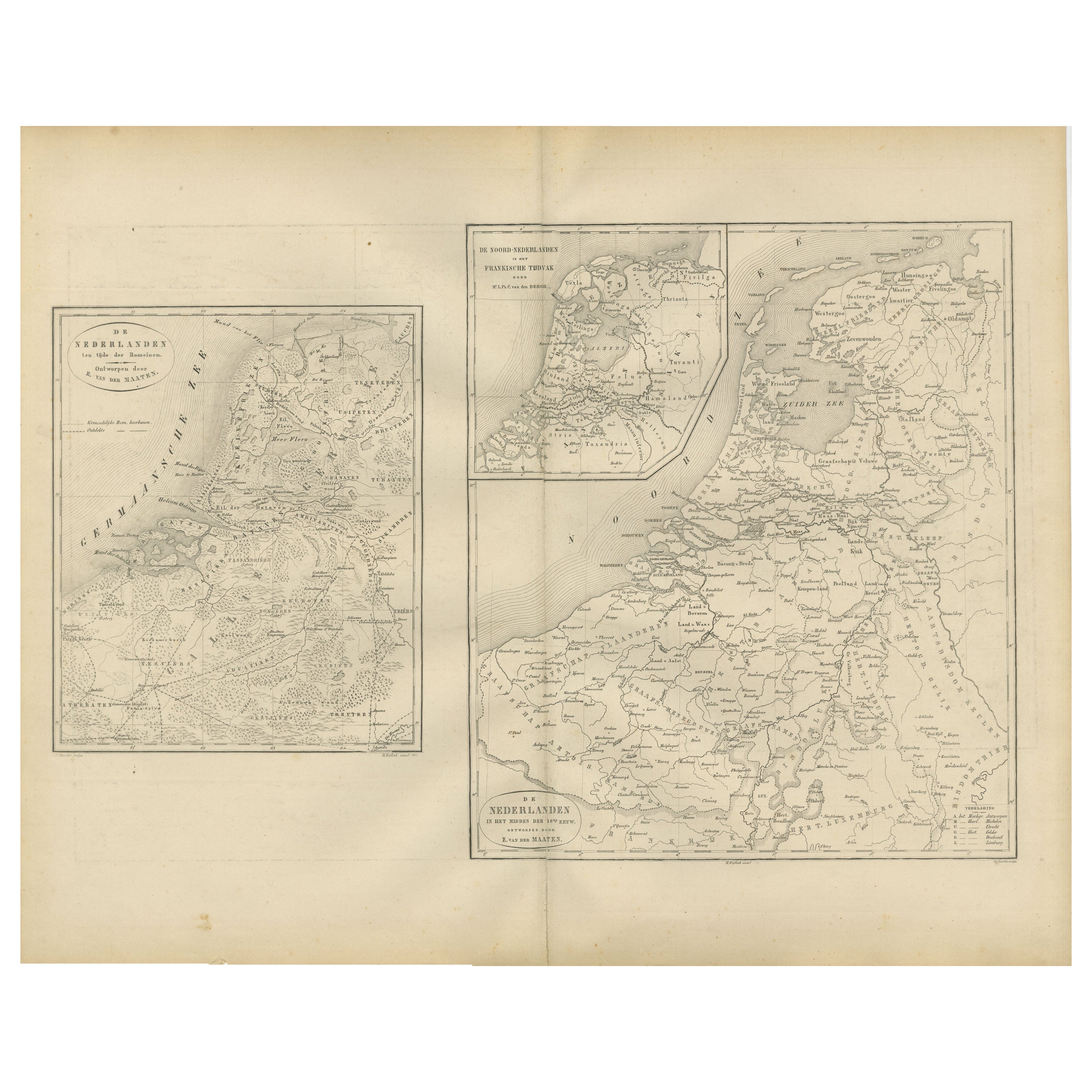
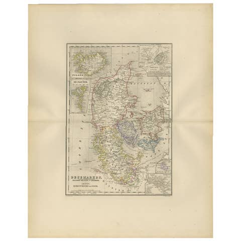
Historical Map of the Netherlands in the 16th and 17th Centuries, Leiden 1876
€ 320
One of a kind: this is the sheet in the photographs. Ships from Langweer, the Netherlands.
Date
1876
Sheet size
44 × 55 cm (17.3 × 21.7 in)
Condition
Good
Reference
BG-12788-13
Condition
Good condition overall, with moderate toning and faint foxing along the upper edge. Original center fold as issued. The printed image remains sharp and even, with no tears or losses. Paper slightly browned at the margins consistent with age.
About this sheet
Historical Map of the Netherlands in the 16th and 17th Centuries, Leiden 1876
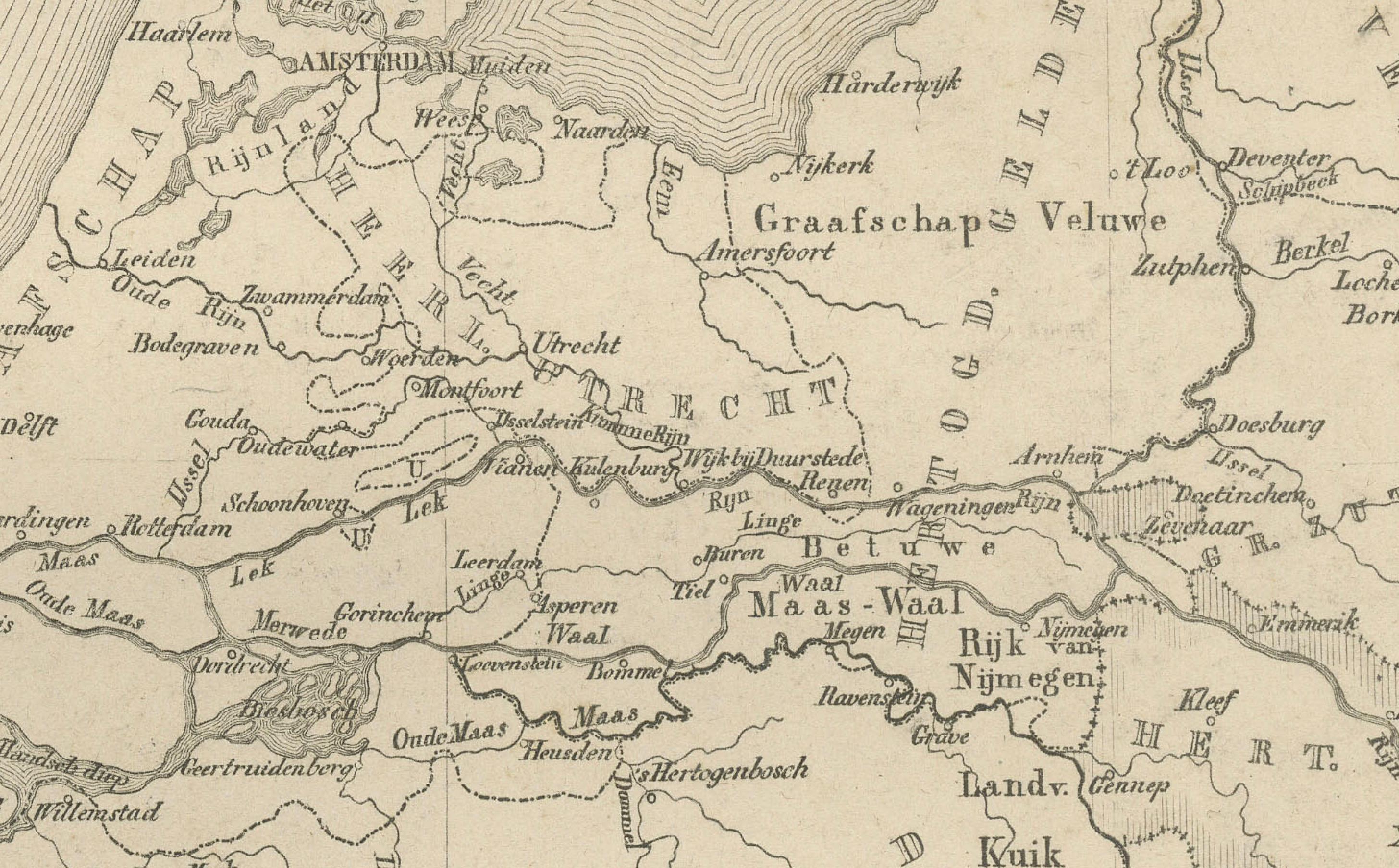
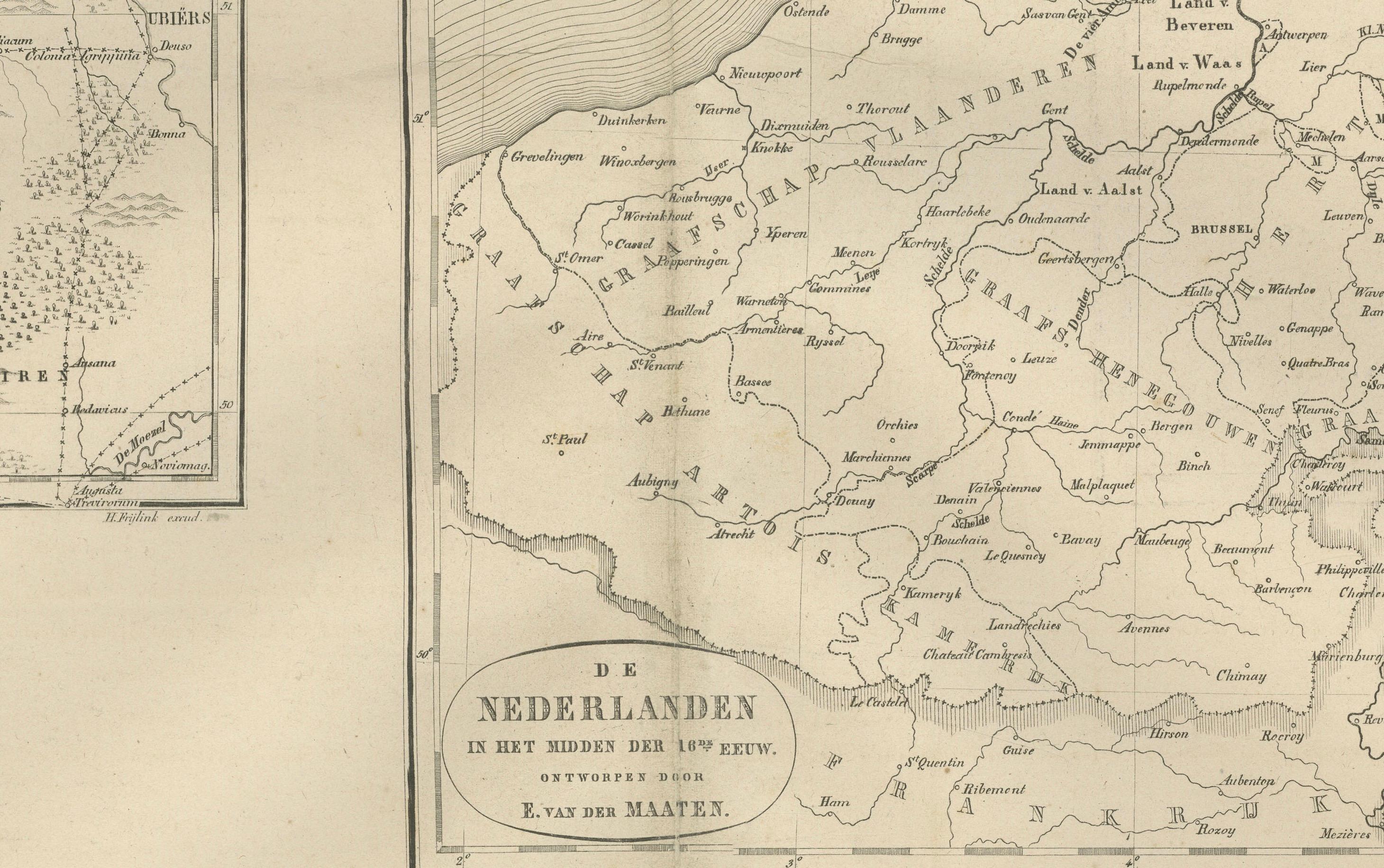
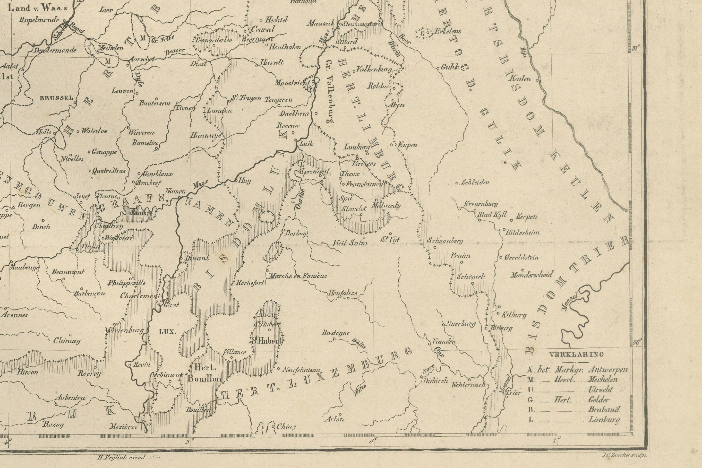
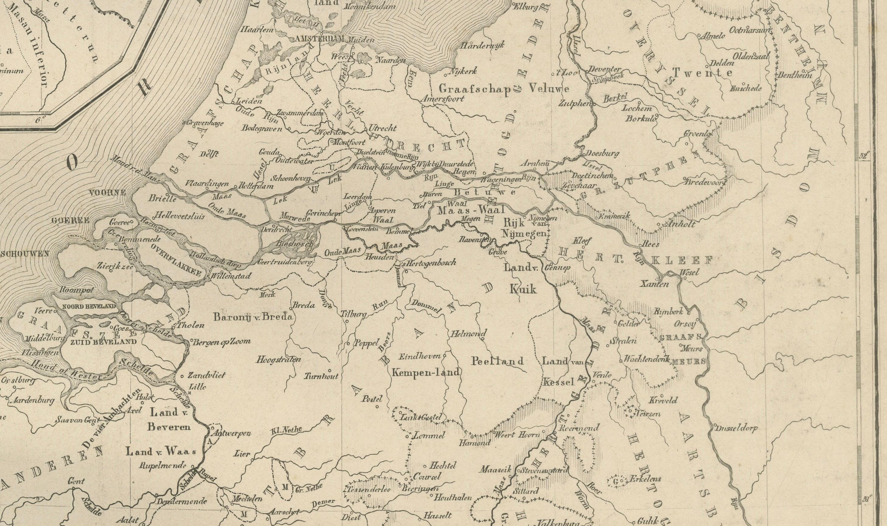
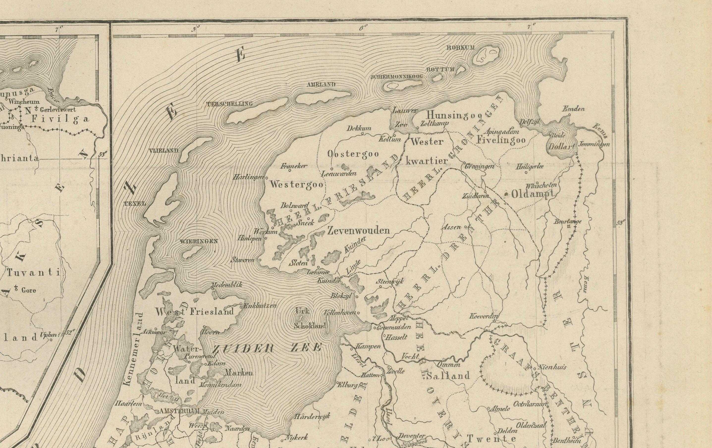
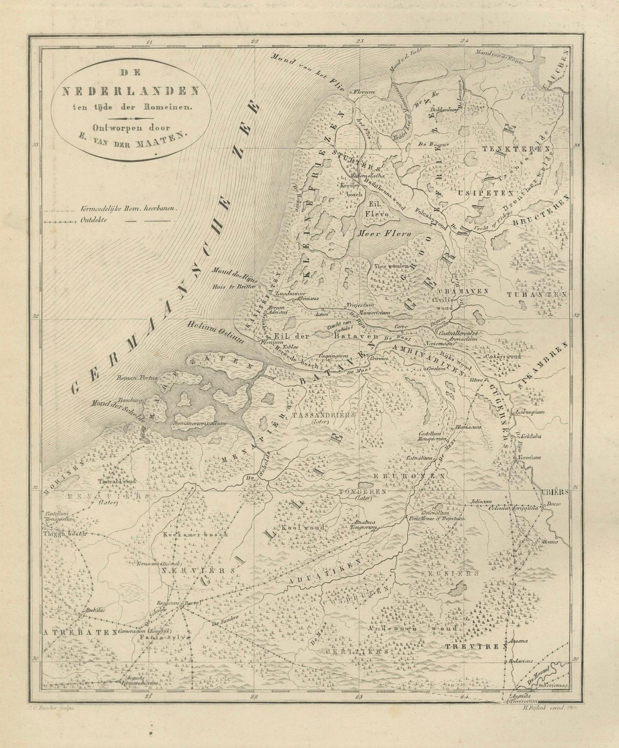
This 19th-century Dutch historical map, titled “De Nederlanden in het begin der 16de eeuw en in het begin der 17de eeuw,” was published in 1876 in the Nieuwe Hand-Atlas der Aarde in haren Tegenwoordigen Toestand by M. Frijlink, revised by A. van Otterloo, and issued by D. Noothoven van Goor in Leiden. The map presents the Low Countries (modern Netherlands and Belgium) at two significant moments in their early modern history — the beginning of the 16th century and the early 17th century — showing the profound political and territorial transformations that shaped the Dutch Republic.
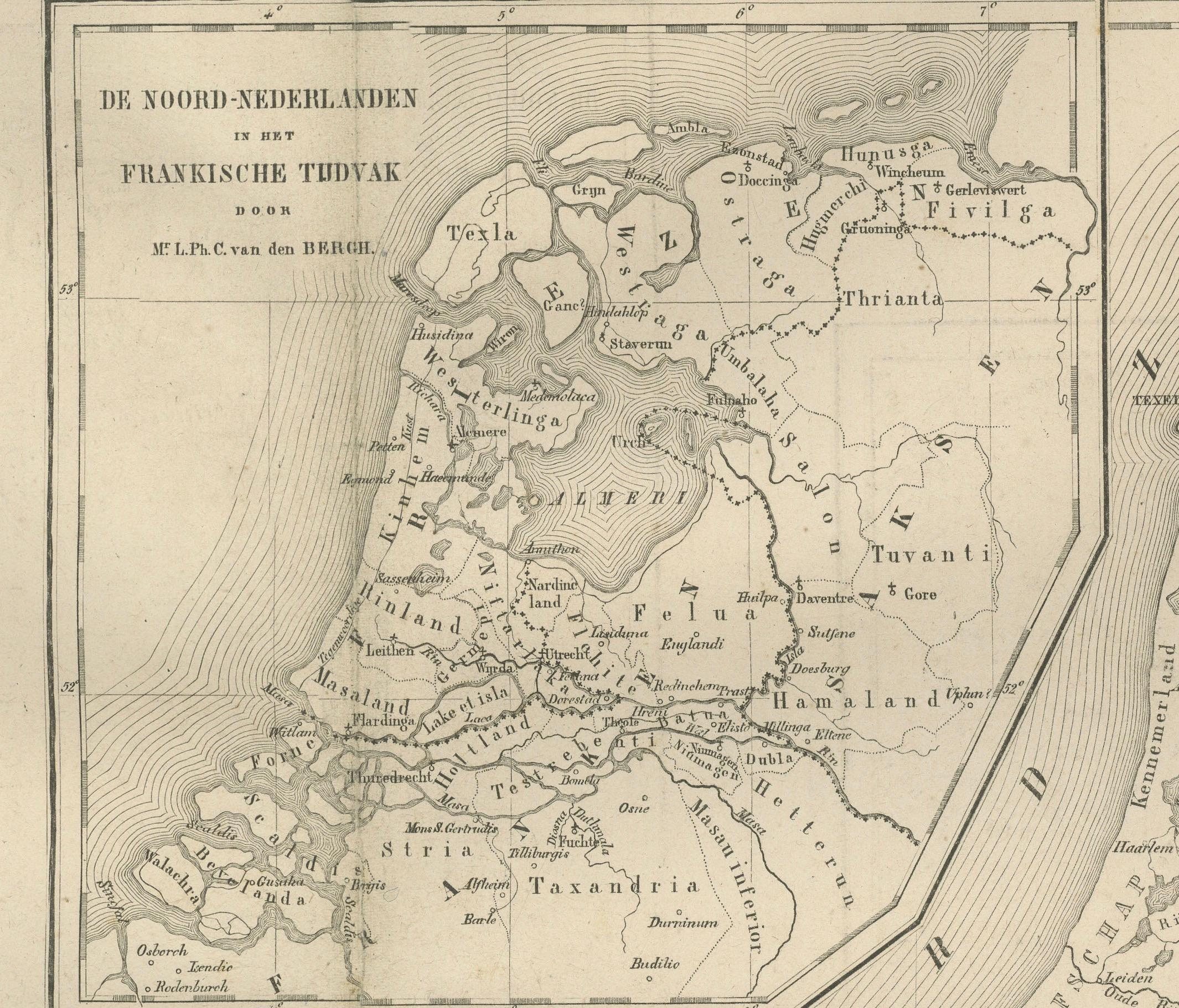
The plate is divided into two sections. The left map depicts the Netherlands under Habsburg rule around 1500, highlighting the territorial divisions of the Burgundian inheritance. The right-hand map shows the situation after the Dutch Revolt and the formation of the independent Republic of the Seven United Provinces, roughly a century later. The evolving borders, fortified towns, and shifting spheres of control illustrate the rise of the Dutch nation-state. Insets at the top further clarify regional changes in the northern provinces and Friesland.
This dual historical map served both as an educational and a political reference in Frijlink’s Nieuwe Hand-Atlas, offering insight into the Netherlands’ emergence from medieval feudal territories into a modern maritime power. It exemplifies the precision and historical awareness characteristic of Dutch academic cartography in the 19th century.
Condition report: Good condition overall, with moderate toning and faint foxing along the upper edge. Original center fold as issued. The printed image remains sharp and even, with no tears or losses. Paper slightly browned at the margins consistent with age.
Framing tips: This map pairs beautifully with other historical plates in the series. It looks best with a light cream mat and a slim walnut or black frame to emphasize the subtle engraving and historic subject. Ideal for libraries or spaces devoted to history and cartography.
Technique: Lithograph Maker: M. Frijlink & A. van Otterloo, published by D. Noothoven van Goor, Leiden, 1876