British Columbia 1888 Antique Map – Beautiful BC, Towns & Settlements
€ 460
One of a kind: this is the sheet in the photographs. Ships from Langweer, the Netherlands.
Date
1888
Sheet size
36 × 52.5 cm (14.2 × 20.7 in)
Condition
Good
Reference
BG-12794-8
Condition
Very good condition with mild toning and slight darkening along the original center fold. Plate mark visible. Margins clean with minimal handling wear. Strong impression with crisp engraved detail.
About this sheet
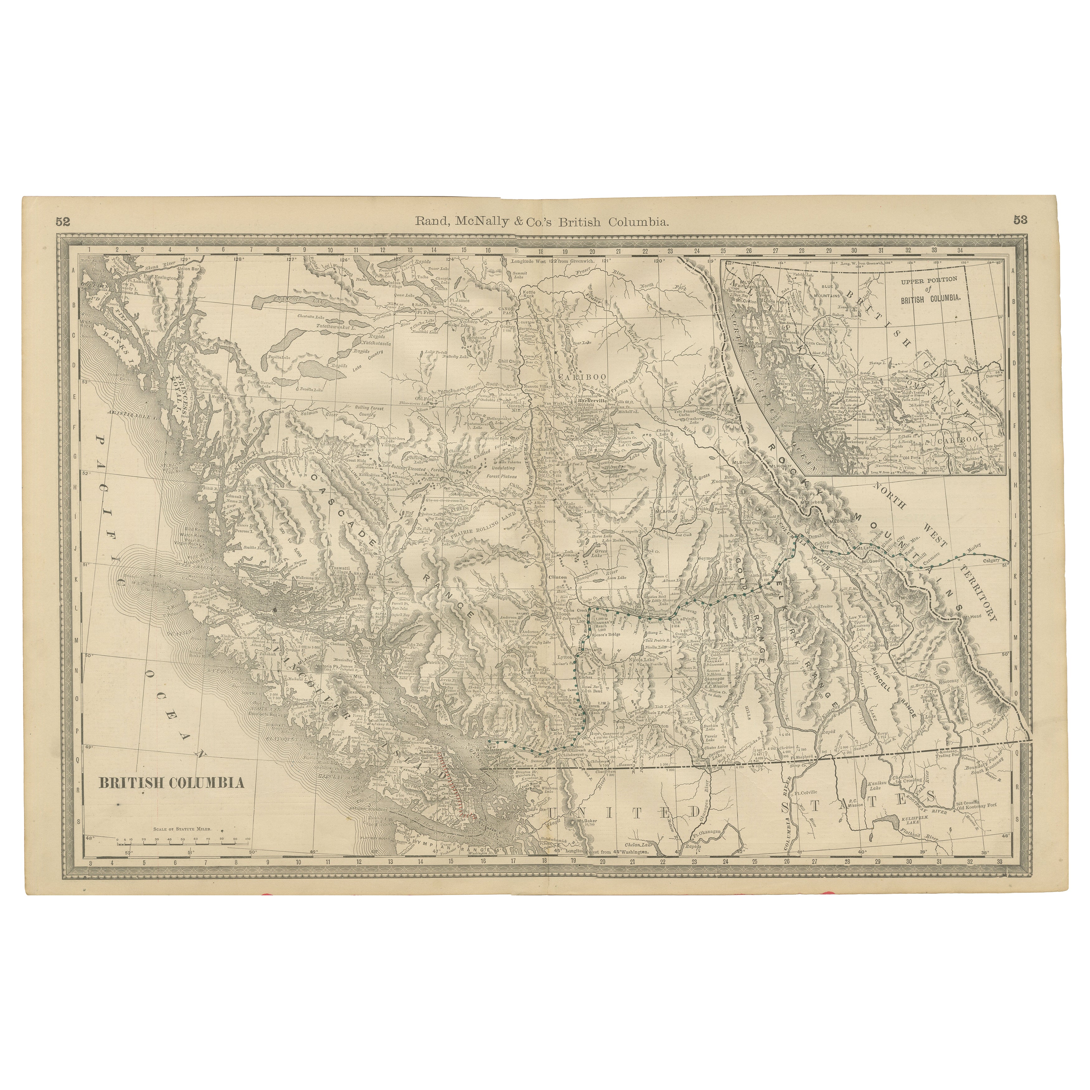
Antique Map of British Columbia, Canada – Rand McNally, circa 1888 This antique map of British Columbia was published by Rand, McNally & Co. around 1888. It presents the province in great detail during a formative period of its development, just a few years after British Columbia had joined the Canadian Confederation (1871) and at a time when the transcontinental Canadian Pacific Railway was opening the West to greater settlement and commerce.
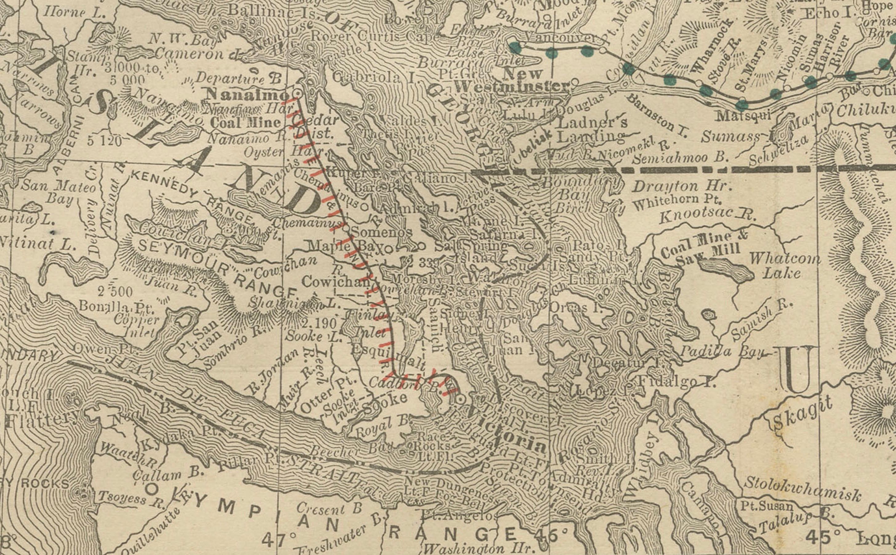
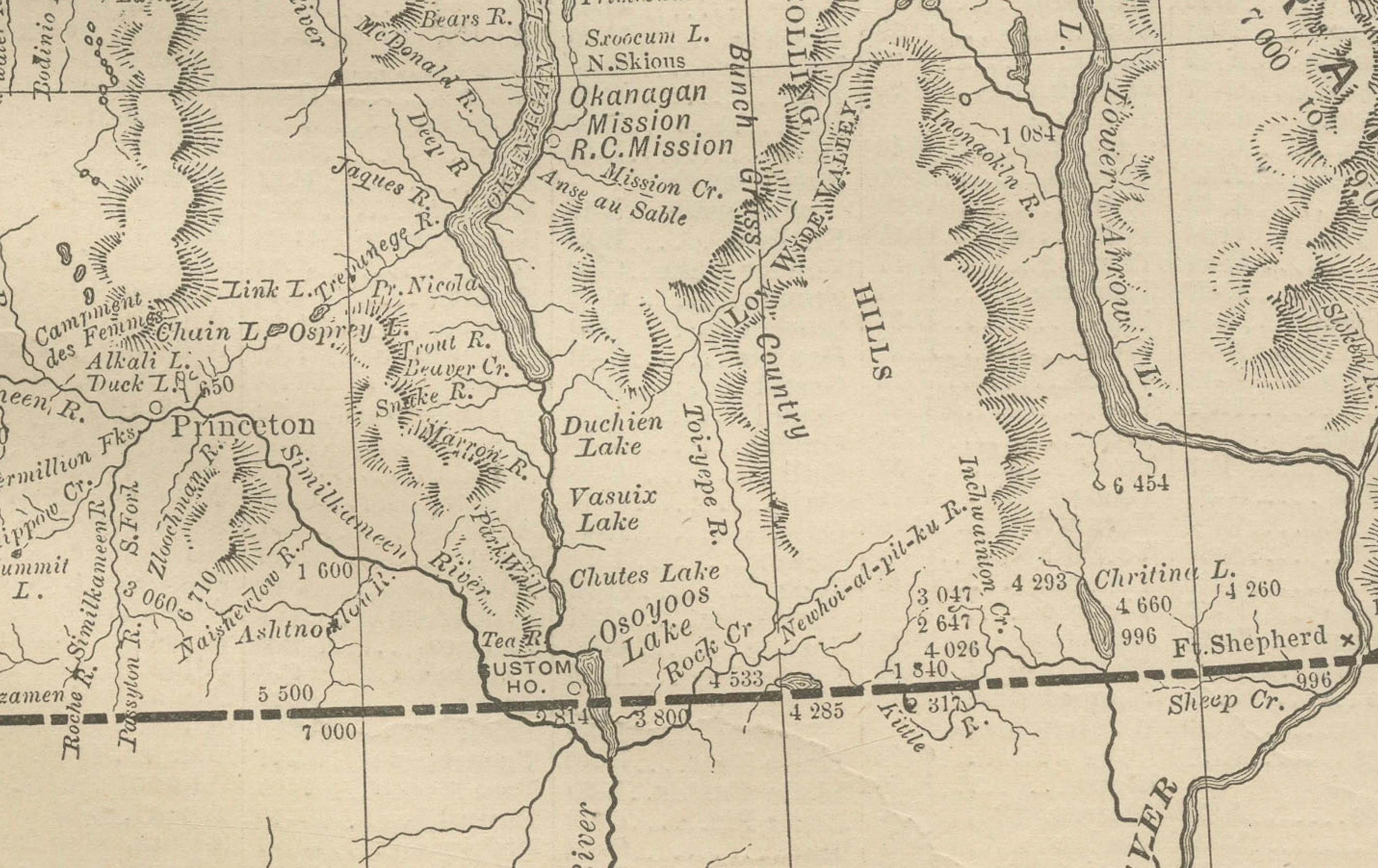
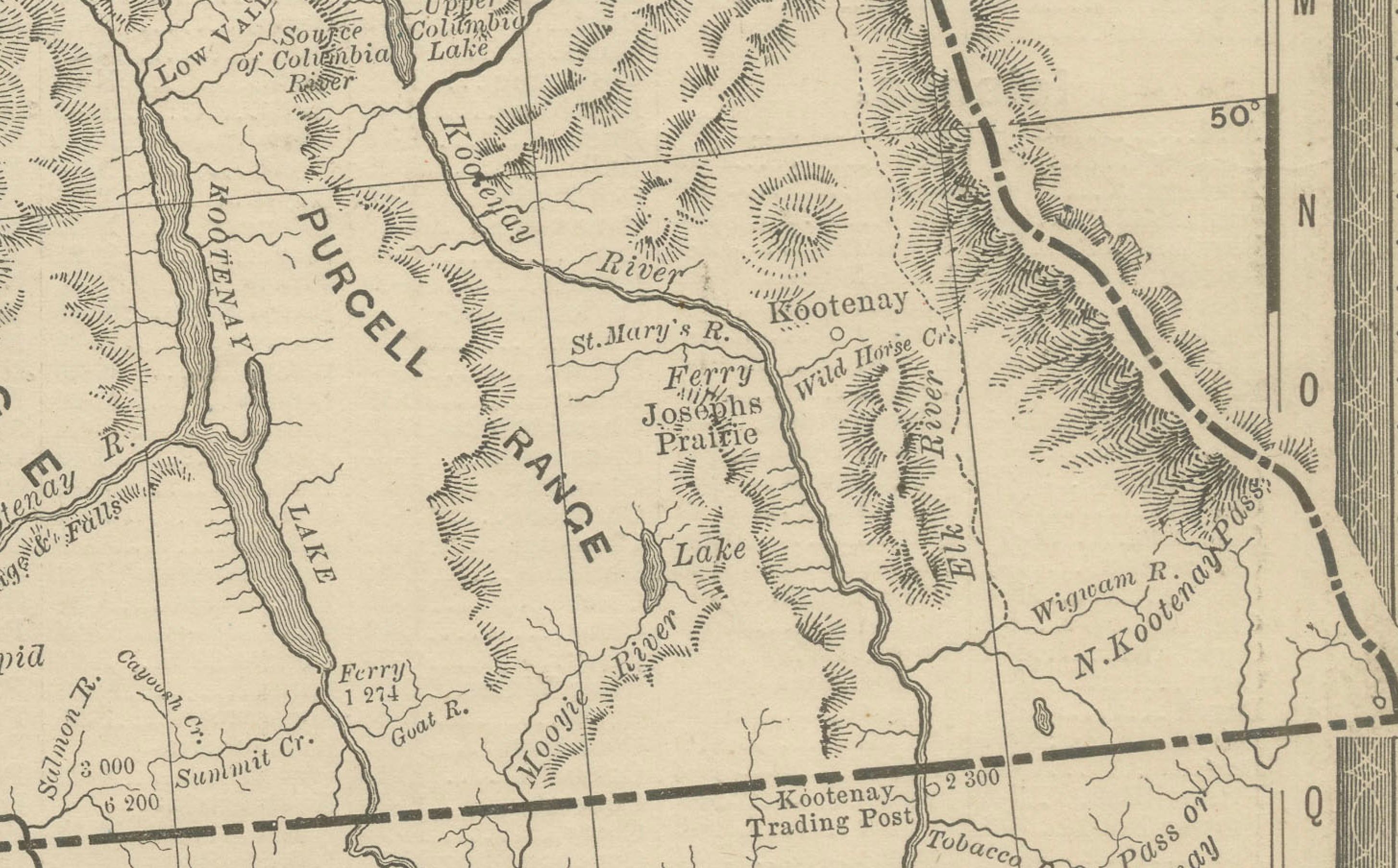
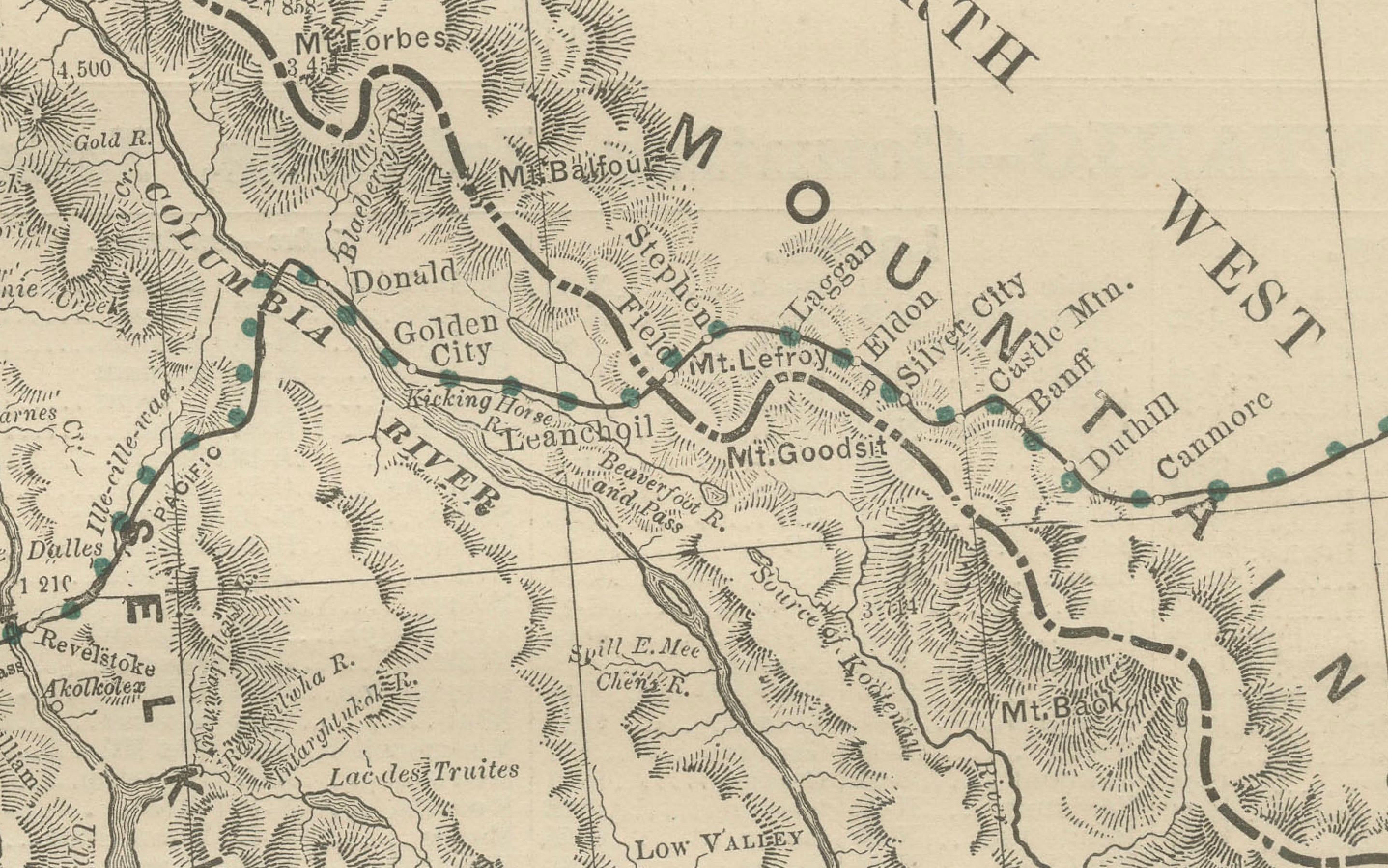
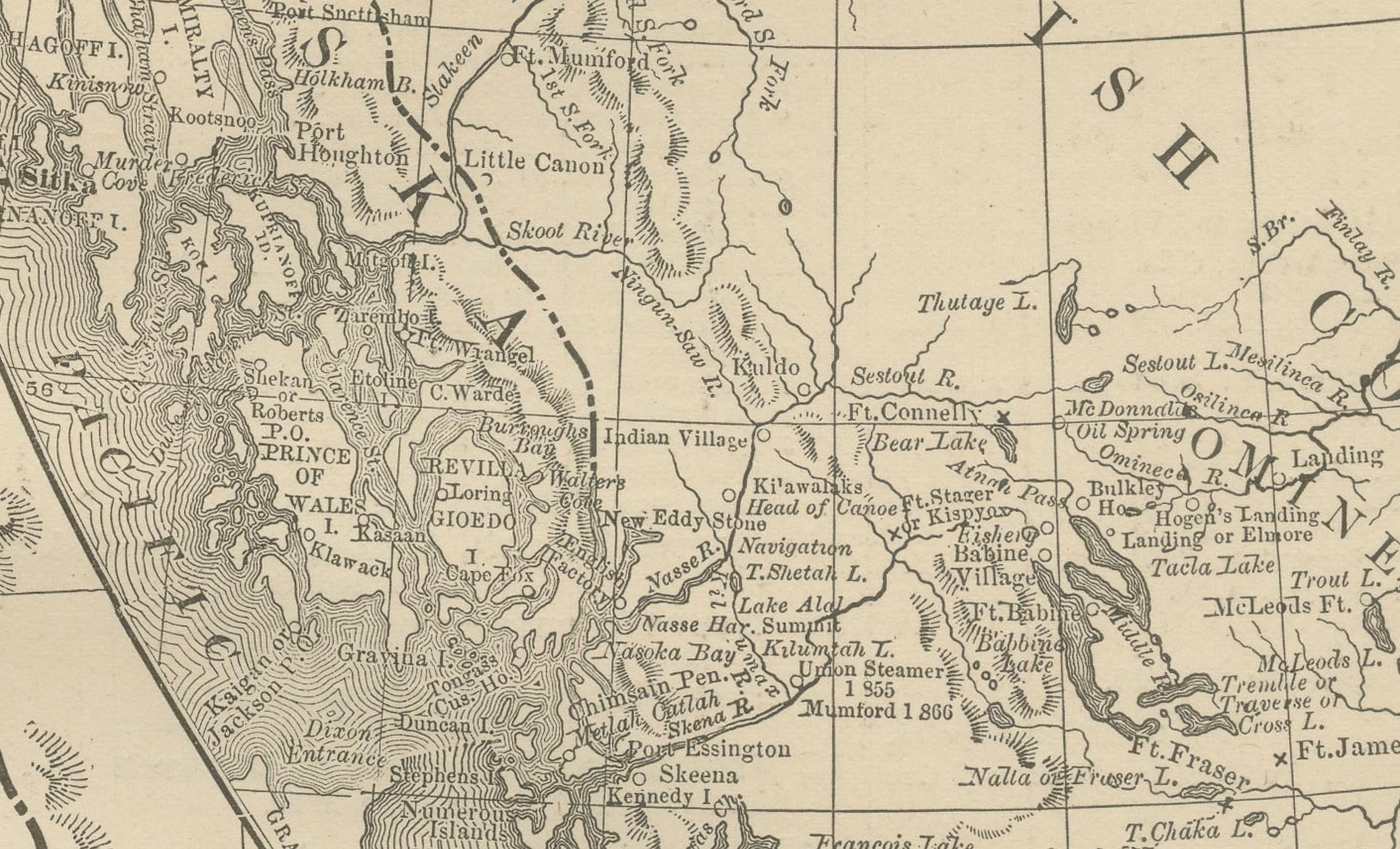
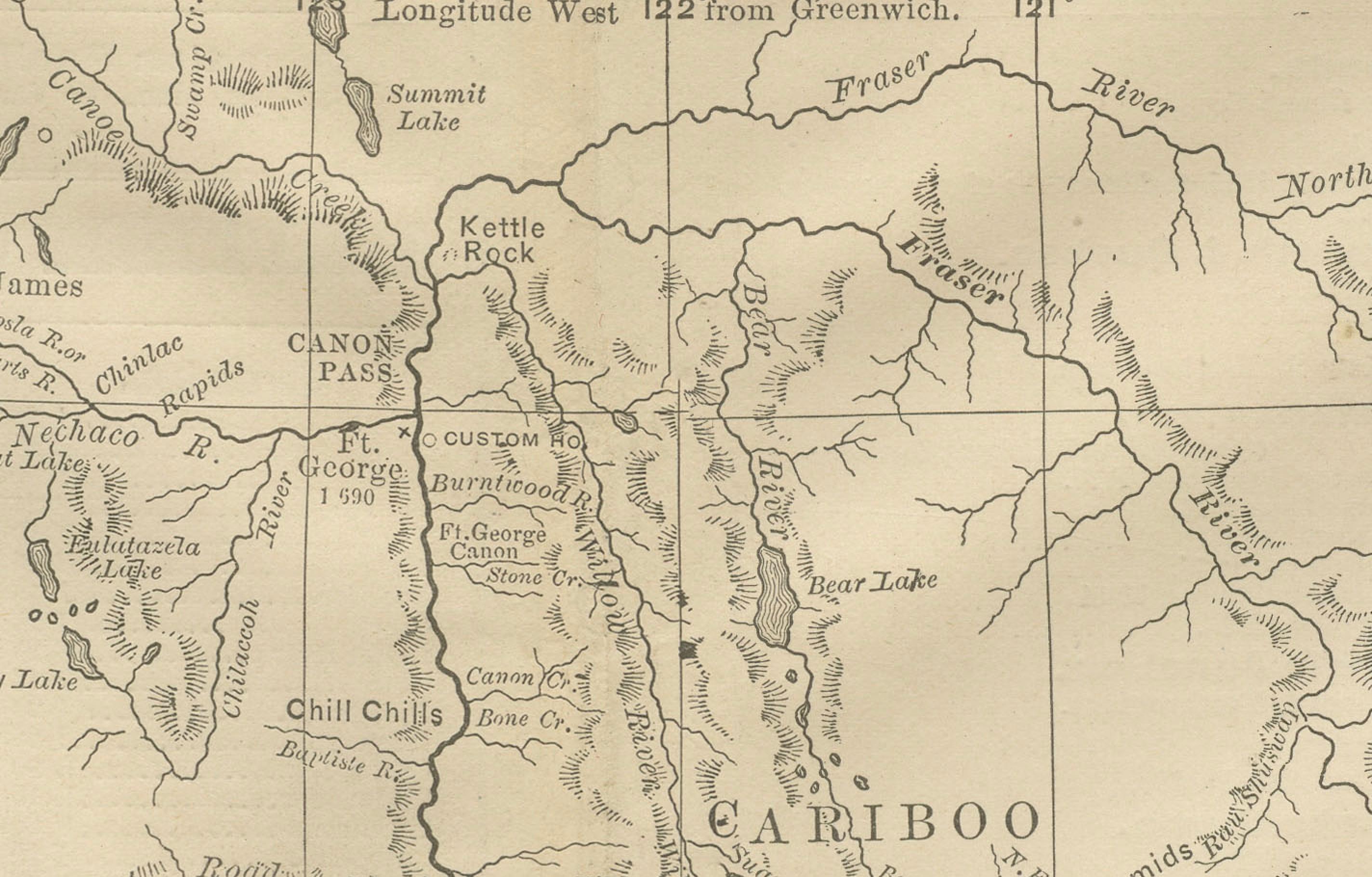
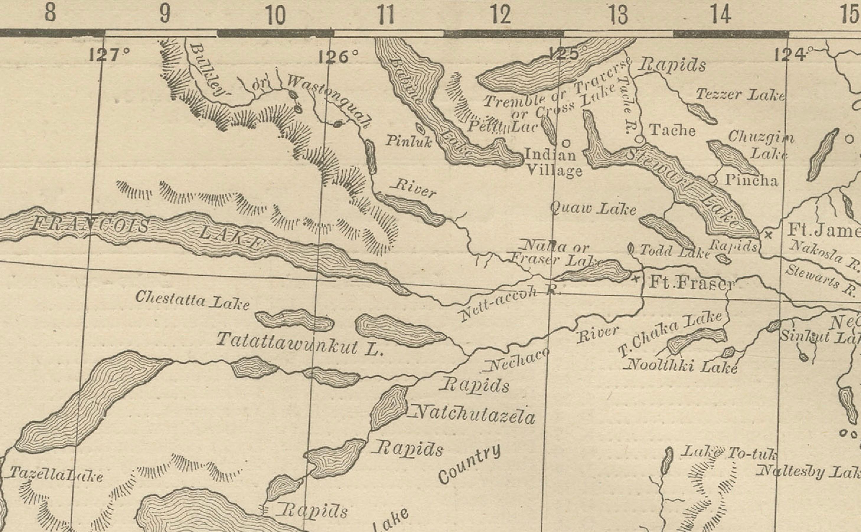
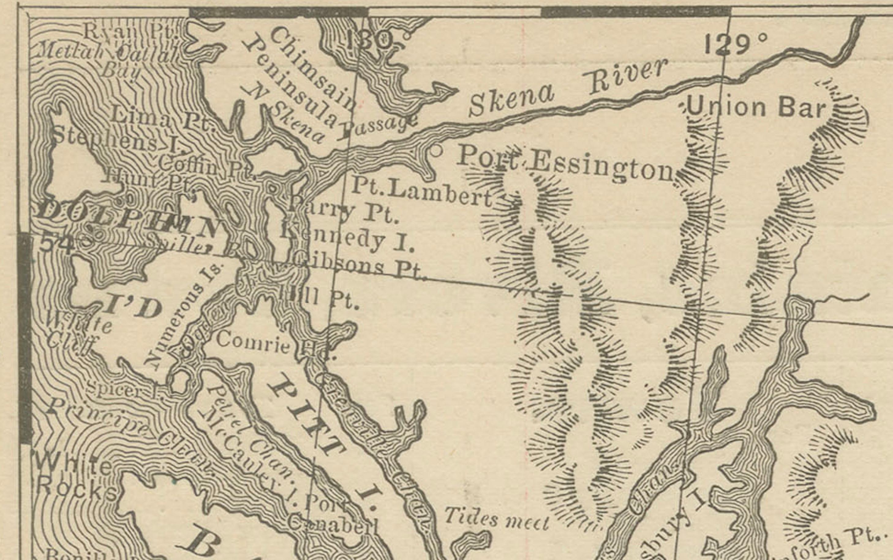
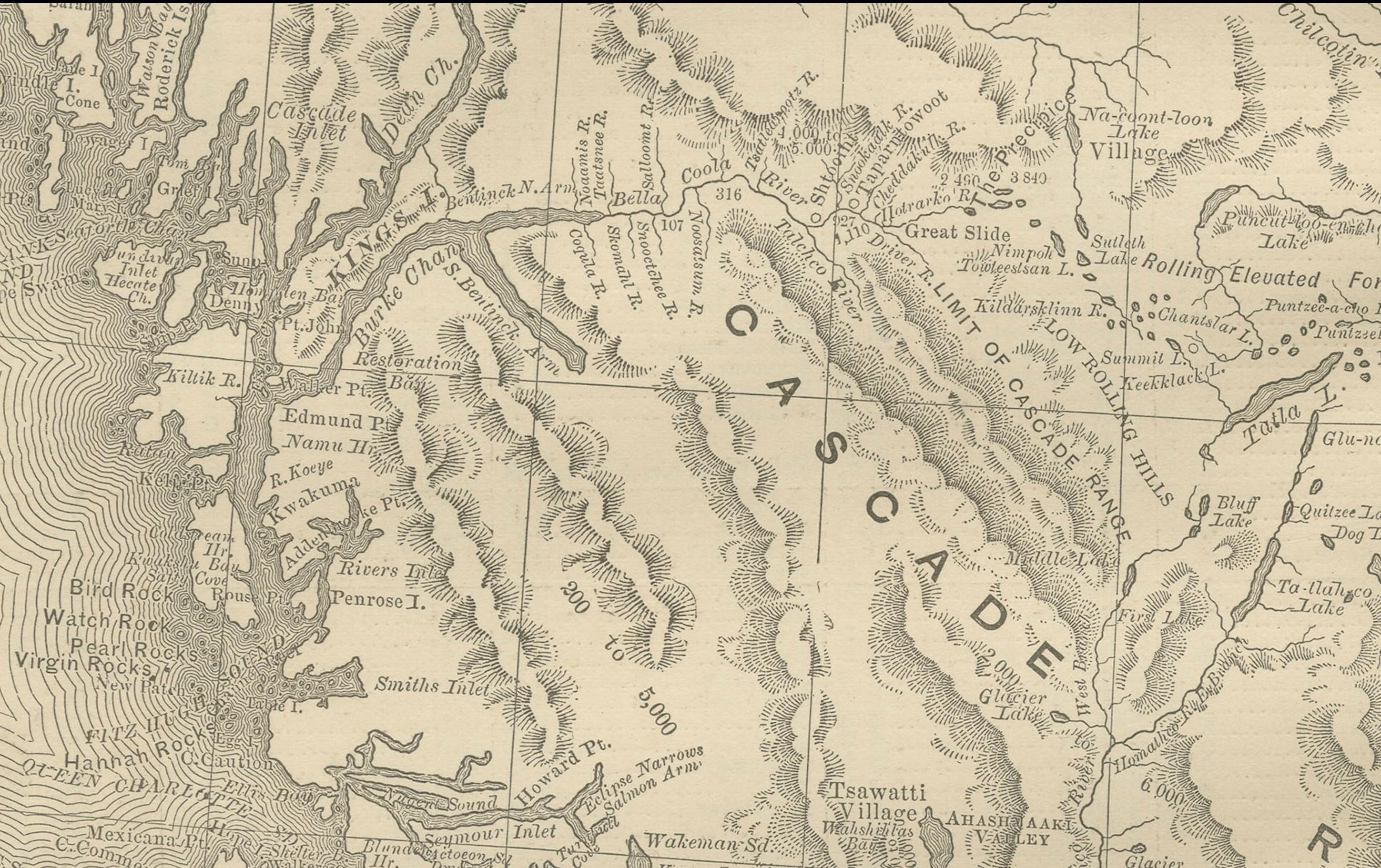
The map covers the entire province from the Pacific coast and Vancouver Island across to the Rocky Mountains and the border with the Northwest Territories. The rugged terrain of the Coast Ranges, Cariboo Mountains, and Rockies is finely engraved, with mountain ranges, valleys, and rivers clearly indicated. The Fraser River, Cariboo gold-mining district, and key routes through the mountains are all shown.
An inset in the upper right depicts the “Upper Portion of British Columbia,” extending northward into less-charted regions. Towns, settlements, indigenous place names, and early railway lines are included, with the Canadian Pacific Railway prominently marked as it crossed the Rockies to link British Columbia with the rest of Canada.
This map is particularly valuable for its portrayal of the province during the late 19th century, when British Columbia was being integrated into Canada’s economic and political life. It is a fine piece for collectors of Canadian history, cartography of the West, or maps of the Pacific Northwest.
Condition report: Very good condition with mild toning and slight darkening along the original center fold. Plate mark visible. Margins clean with minimal handling wear. Strong impression with crisp engraved detail.
Framing tips: A walnut or black frame with a cream mat will highlight the rugged engraving of the mountain ranges. For emphasis on the Pacific coastline, a double mat with ivory outer and muted blue inner will draw attention to the coastal waters.
Technique: Lithograph with original outline color Maker: Rand, McNally & Co., Chicago, circa 1888