About this sheet
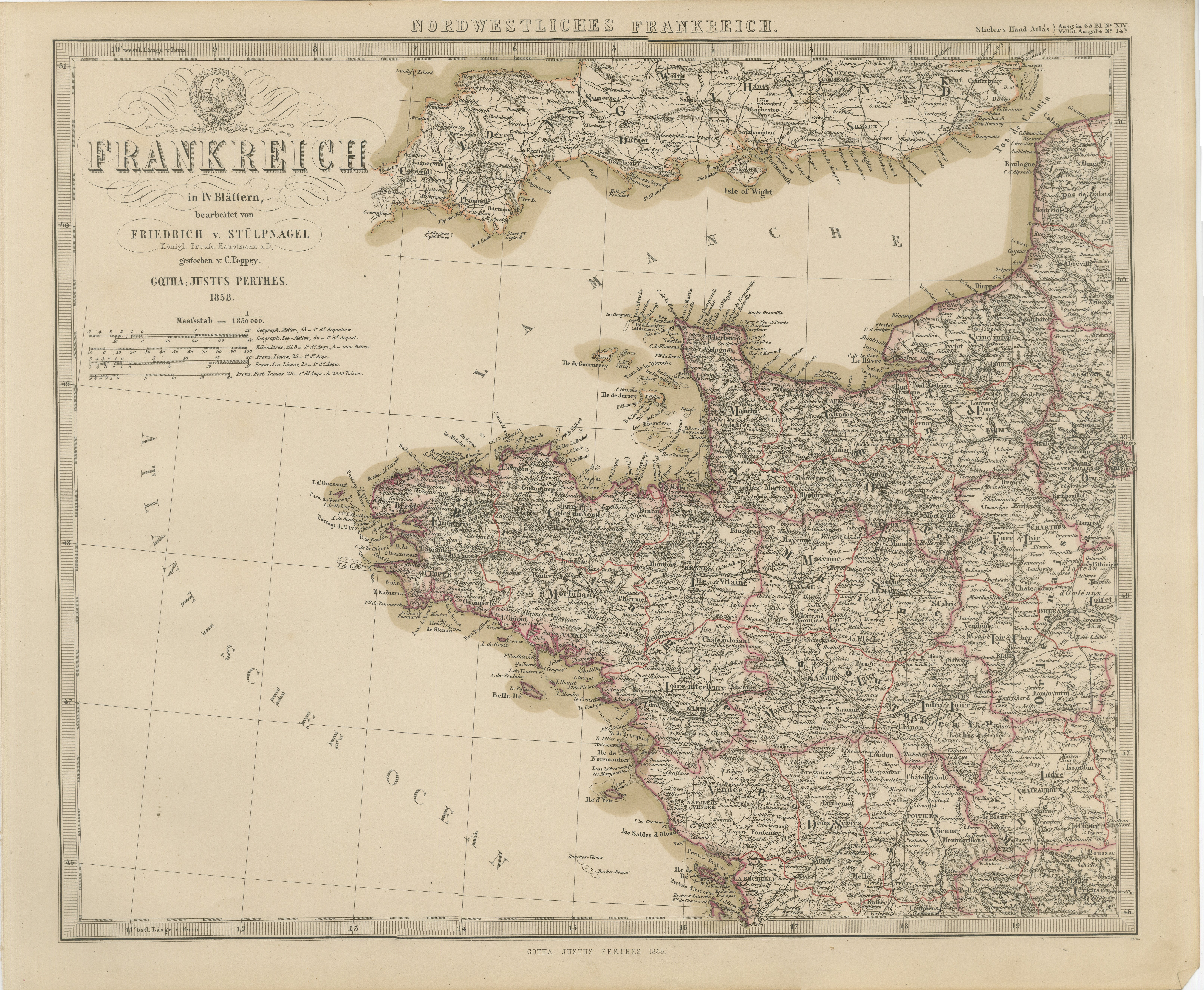
Antique Map of Northwestern France – Stülpnagel Engraving, Justus Perthes 1858
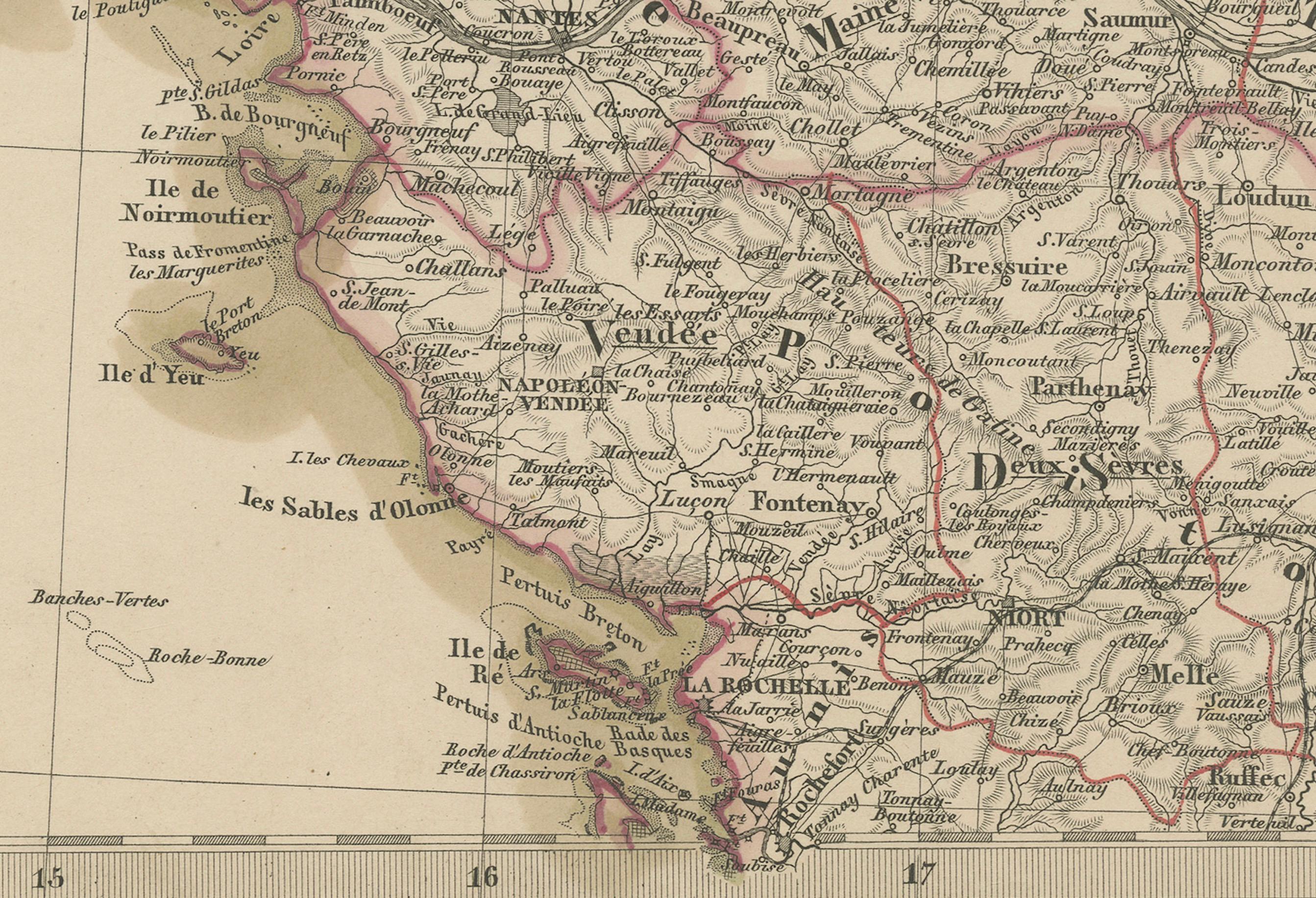
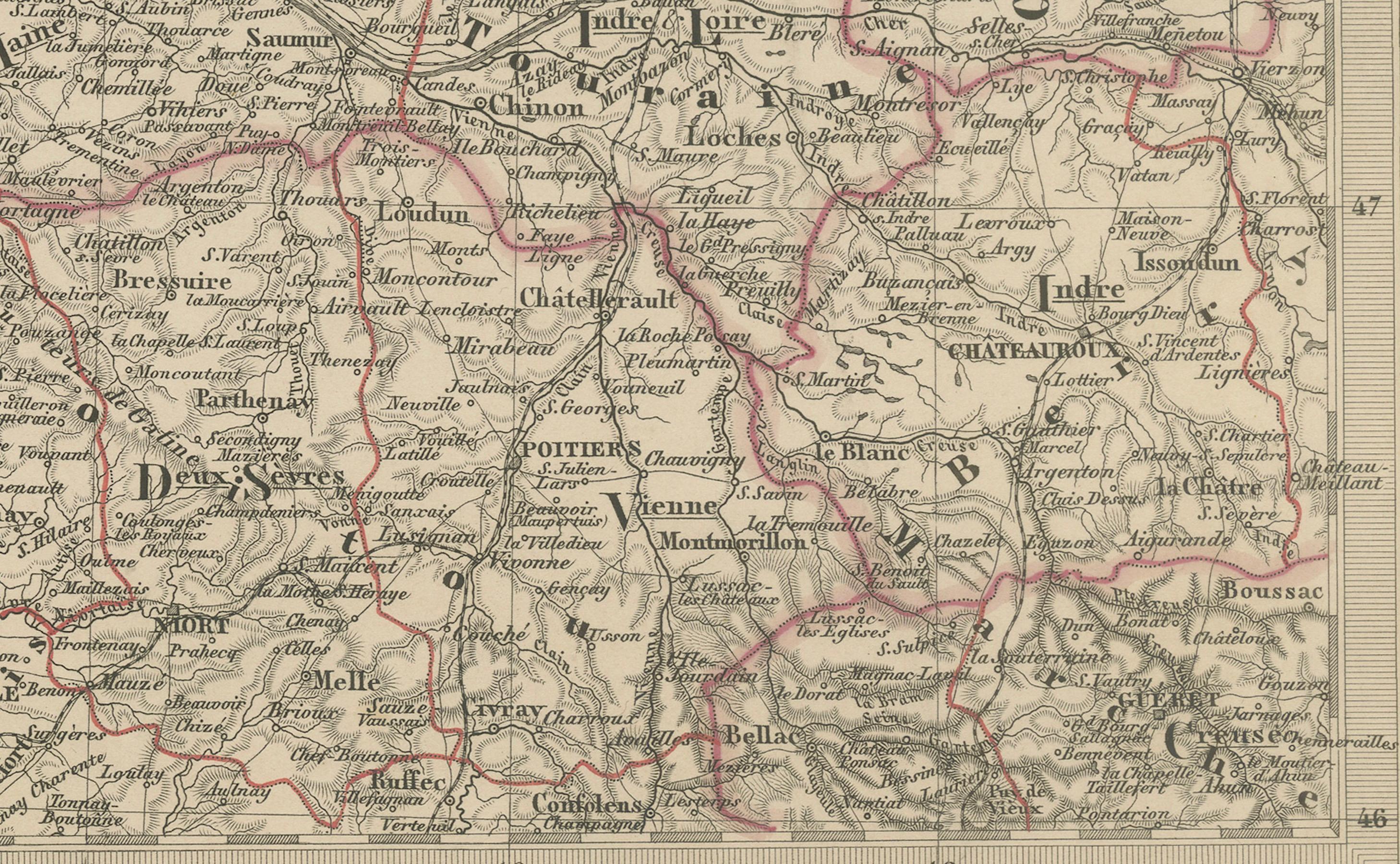
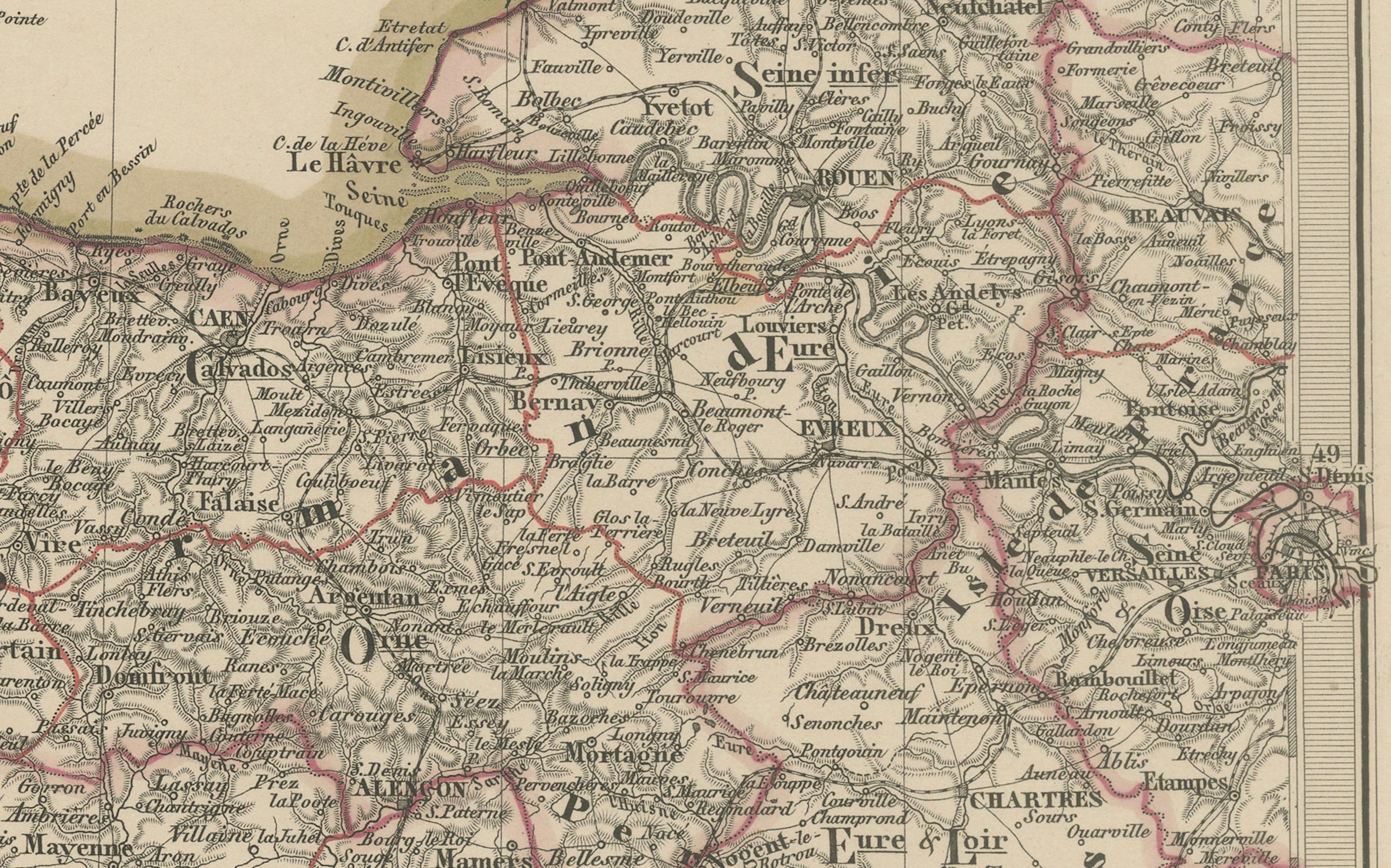
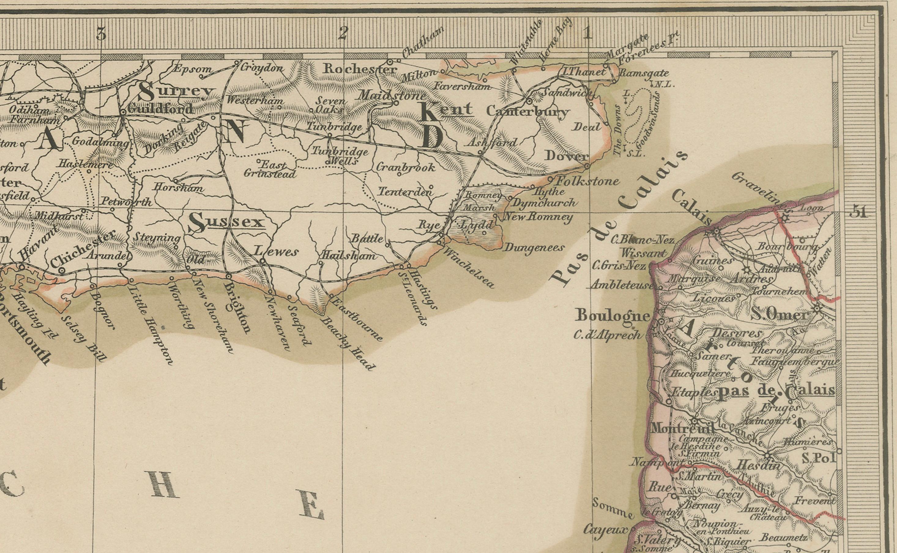
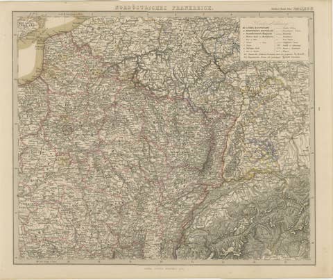
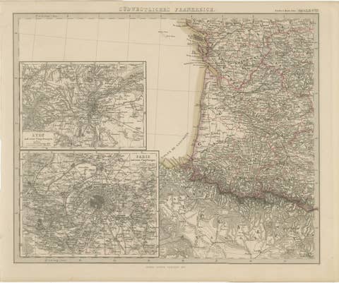
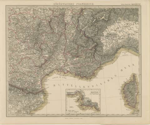
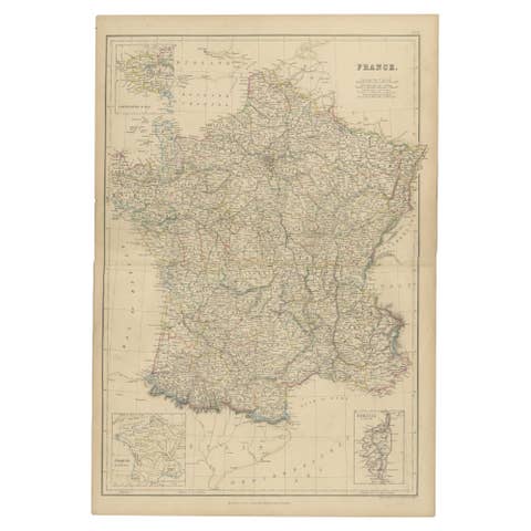
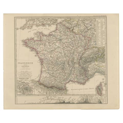
Impressively detailed mid-19th-century map of northwestern France titled "Frankreich in IV Blättern – Nordwestliches Frankreich", created by Friedrich von Stülpnagel and published by Justus Perthes in Gotha in 1858. This is one of four sectional plates depicting the full territory of France and focuses on the northwest region, including Brittany (Bretagne), Normandy (Normandie), and parts of the Loire Valley.
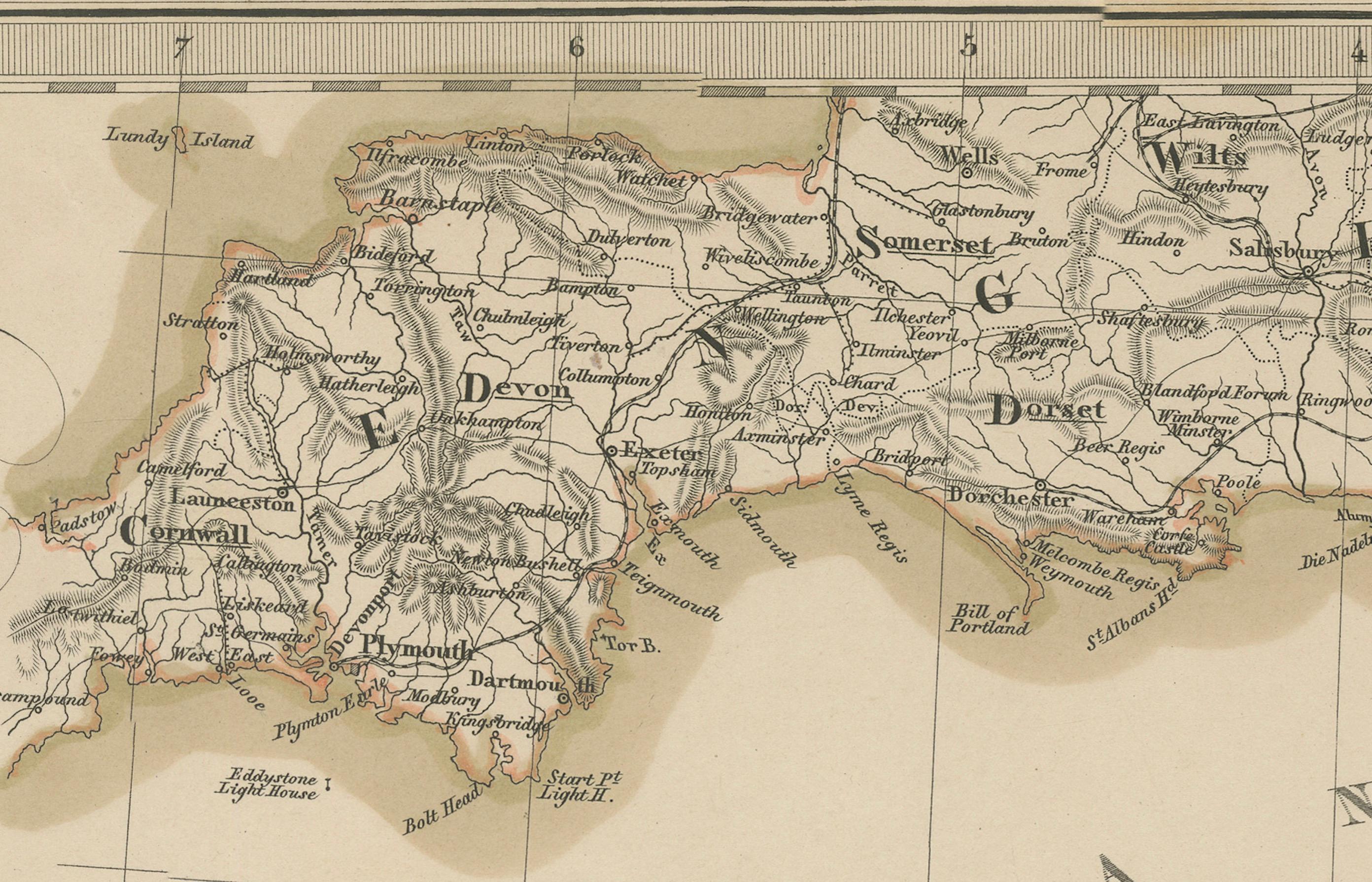
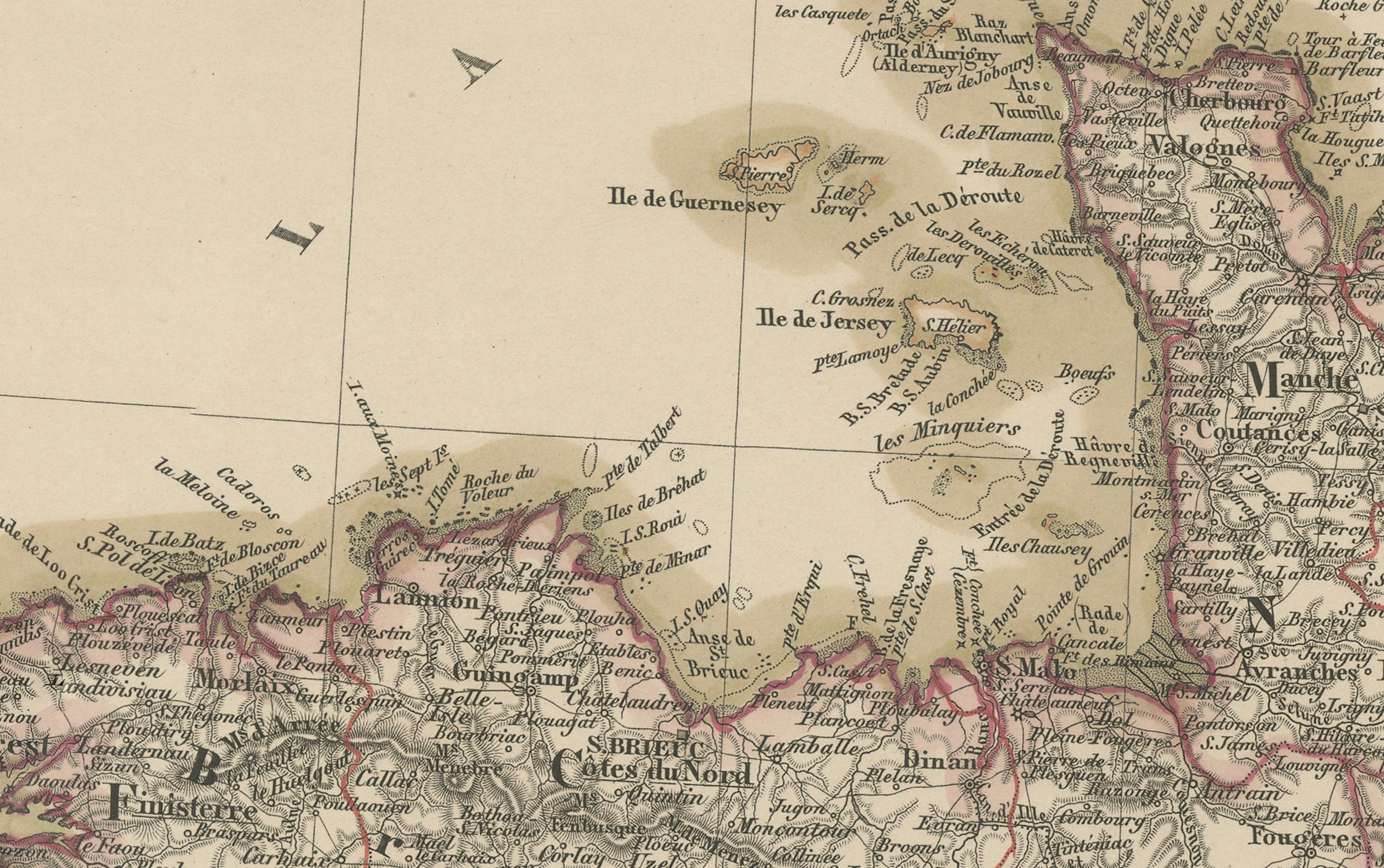
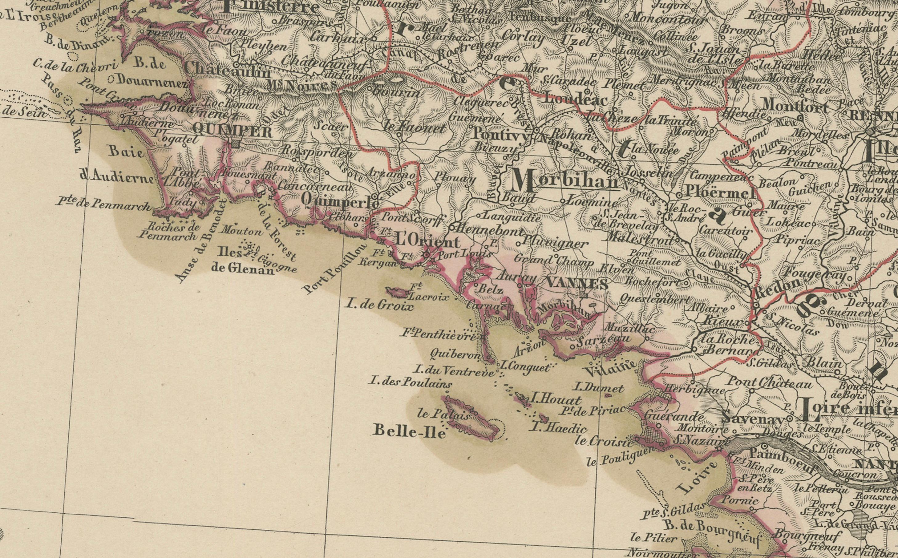
Rendered in fine copperplate engraving and delicately hand-colored, the map shows the intricate administrative divisions, cities, towns, rivers, and road networks that characterized France under the Second Empire. Each département is outlined in subtle color, with prominent labeling of provincial capitals and numerous secondary towns. The Atlantic coast, the English Channel (La Manche), and parts of southern England, including the Isle of Wight, are also visible.
The inset cartouche at top left is classically styled and indicates that the full France map consists of four sheets, with this being the northwestern section. The map also includes a detailed mileage scale and notes the use of longitude measured from the Paris meridian.
The regions covered include:
* Brittany (Bretagne)
* Normandy (Normandie)
* Anjou
* Maine
* Poitou
* Parts of Île-de-France and the Loire Valley
This map is a fine example of precision German cartography by one of the 19th century's foremost geographical publishers. It not only serves as a decorative piece but also as a valuable reference for historians and collectors of European cartographic history.
Condition report:
Very good condition. Clean plate impression with rich detail. Minor toning in the lower margin, but no tears, repairs, or major blemishes. Original hand-coloring well-preserved.
Framing tips:
Frame in a warm wood tone (walnut or cherry) with a light beige or ivory mat to draw attention to the subtle coloring. An inner burgundy or French grey accent line can echo the departmental borders. Ideal for display alongside other regional maps of France.
Technique: Copperplate engraving with original hand-coloring
Maker: F. von Stülpnagel, published by Justus Perthes, Gotha, 1858