About this sheet
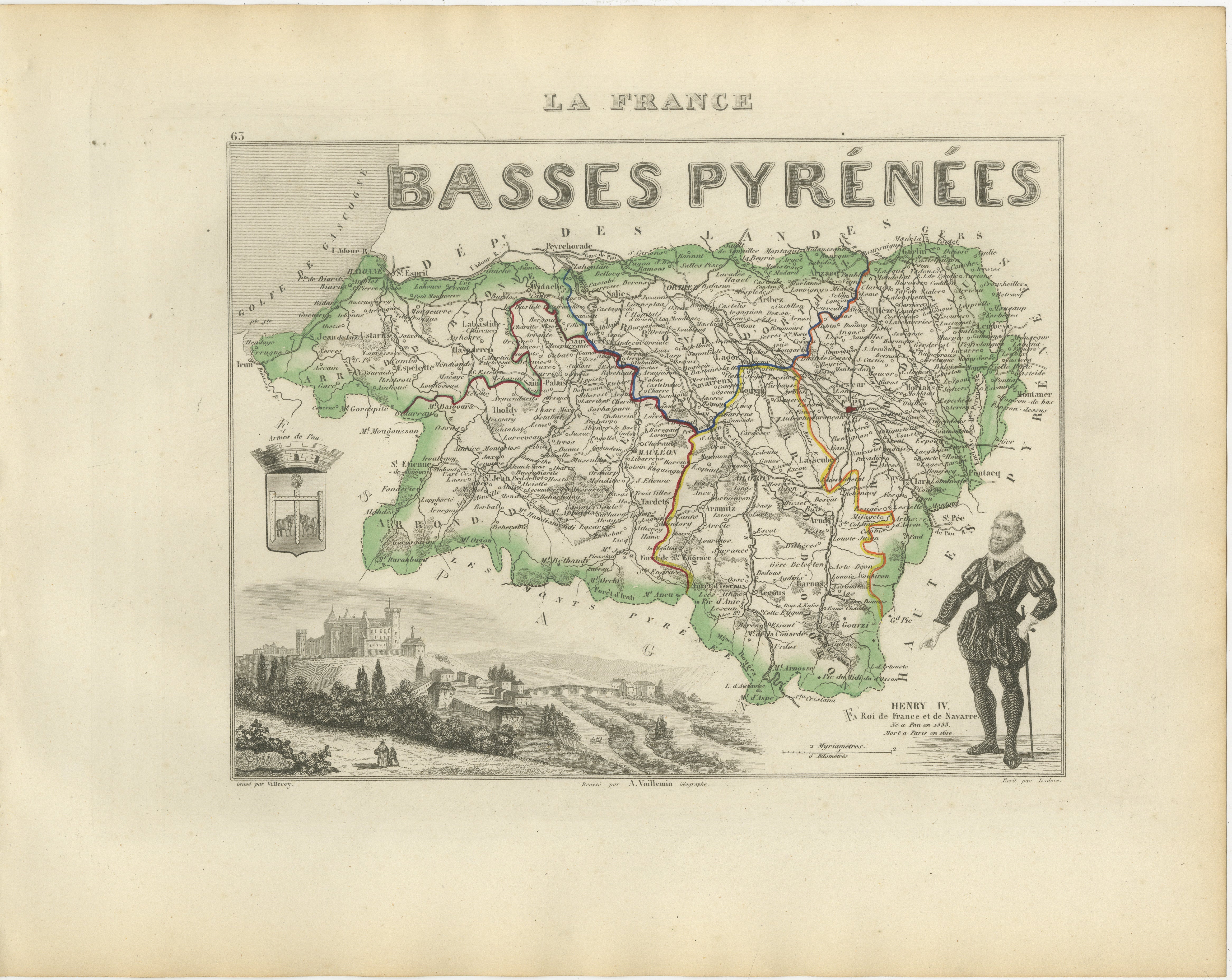
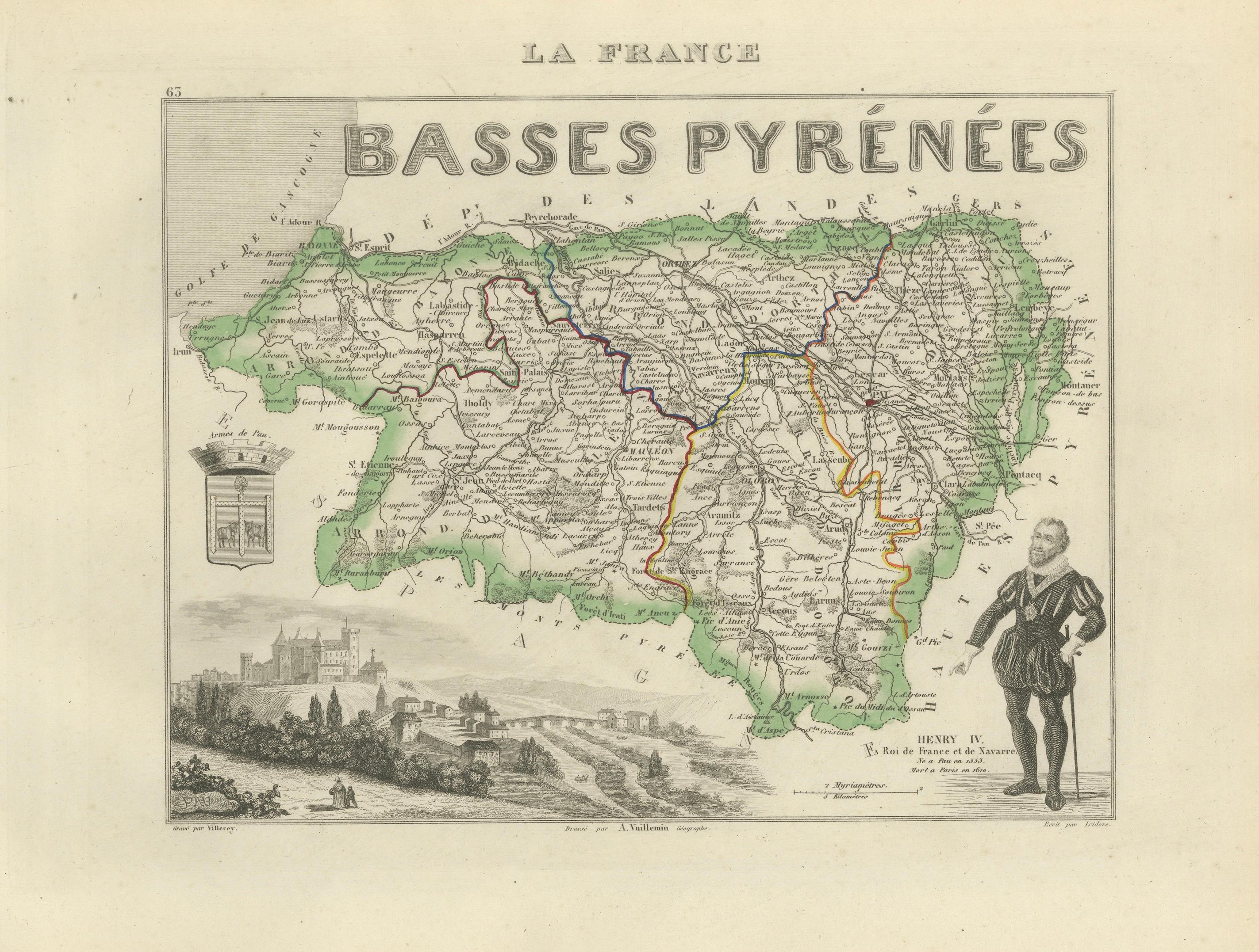
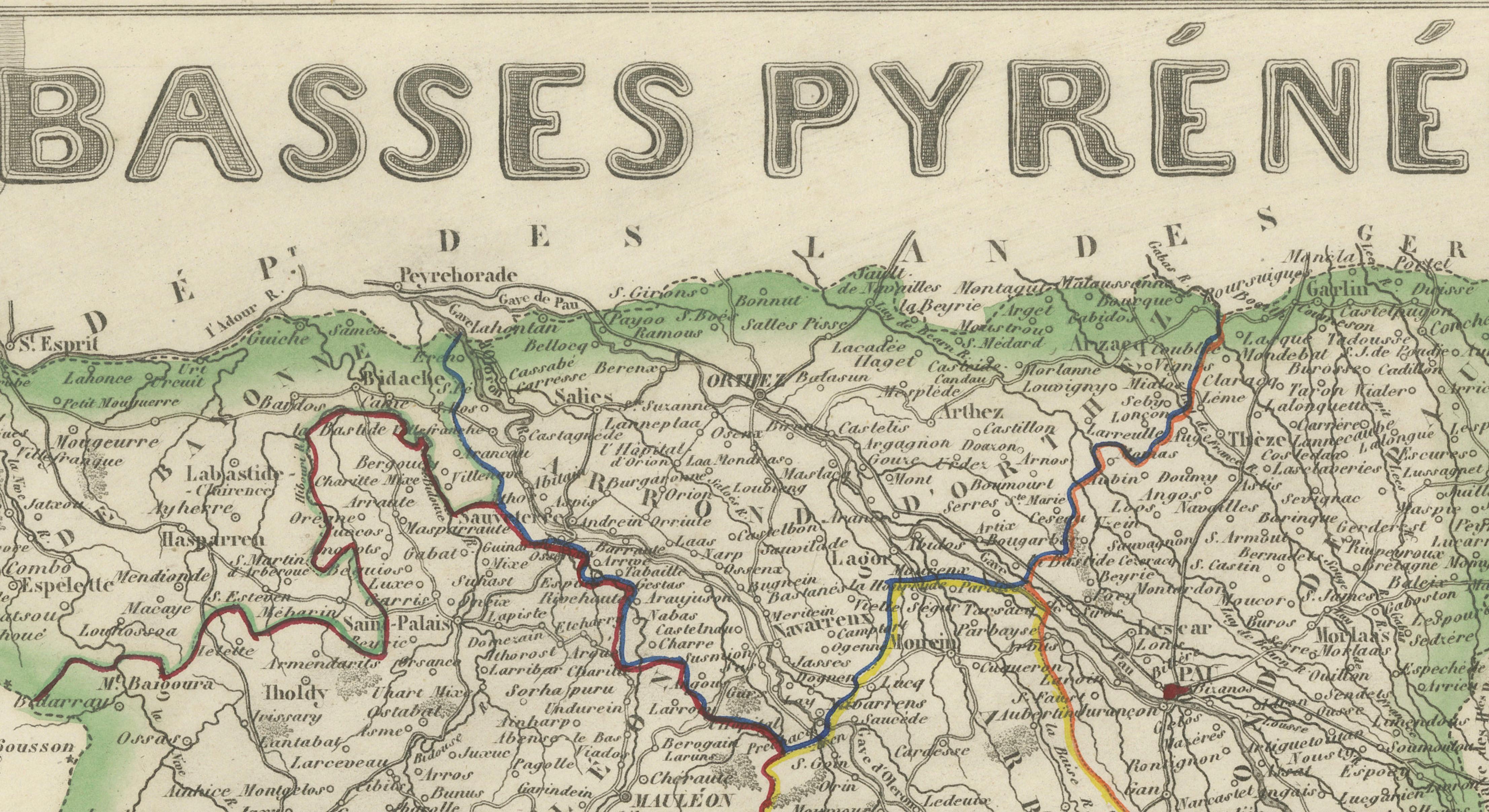
Original antique decorative map of the former French department of Basses-Pyrénées, published in Paris around 1850 by the distinguished cartographer Alexandre Vuillemin.
The map was issued as part of Vuillemin’s acclaimed atlas La France Illustrée, celebrated for combining detailed regional cartography with historical figures, heraldry and picturesque engraved views.
Numbered 63, the map records the department’s towns, villages, roads, rivers and administrative divisions. Original hand colouring distinguishes the departmental boundaries and principal routes.
Prominent places shown include Pau, Bayonne, Biarritz, Saint-Jean-de-Luz, Hendaye, Oloron-Sainte-Marie, Orthez, Salies-de-Béarn, Saint-Palais, Mauléon, Saint-Jean-Pied-de-Port, Hasparren, Cambo-les-Bains, Espelette, Ustaritz, Bidache, Navarrenx, Sauveterre-de-Béarn and numerous smaller communities.
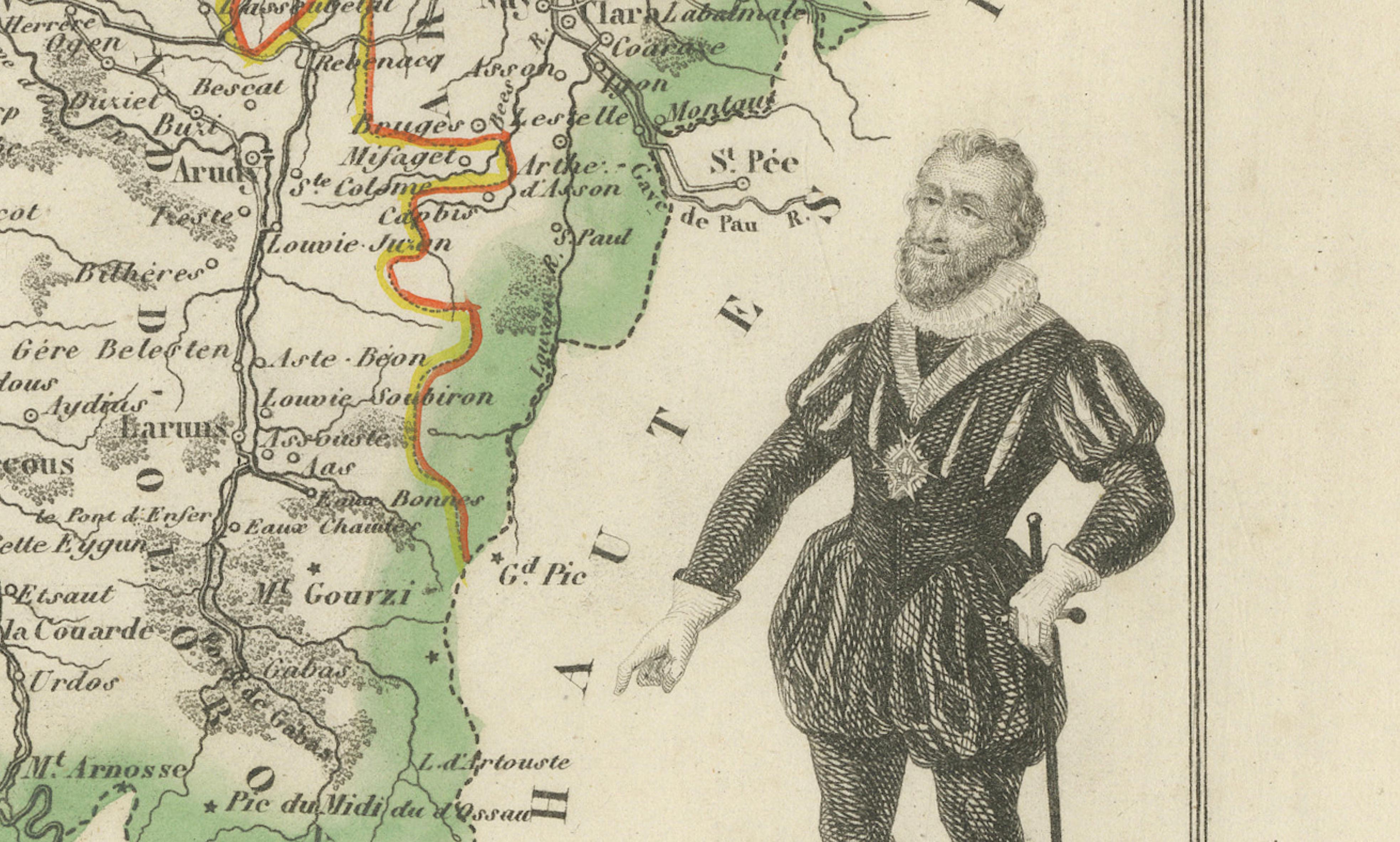
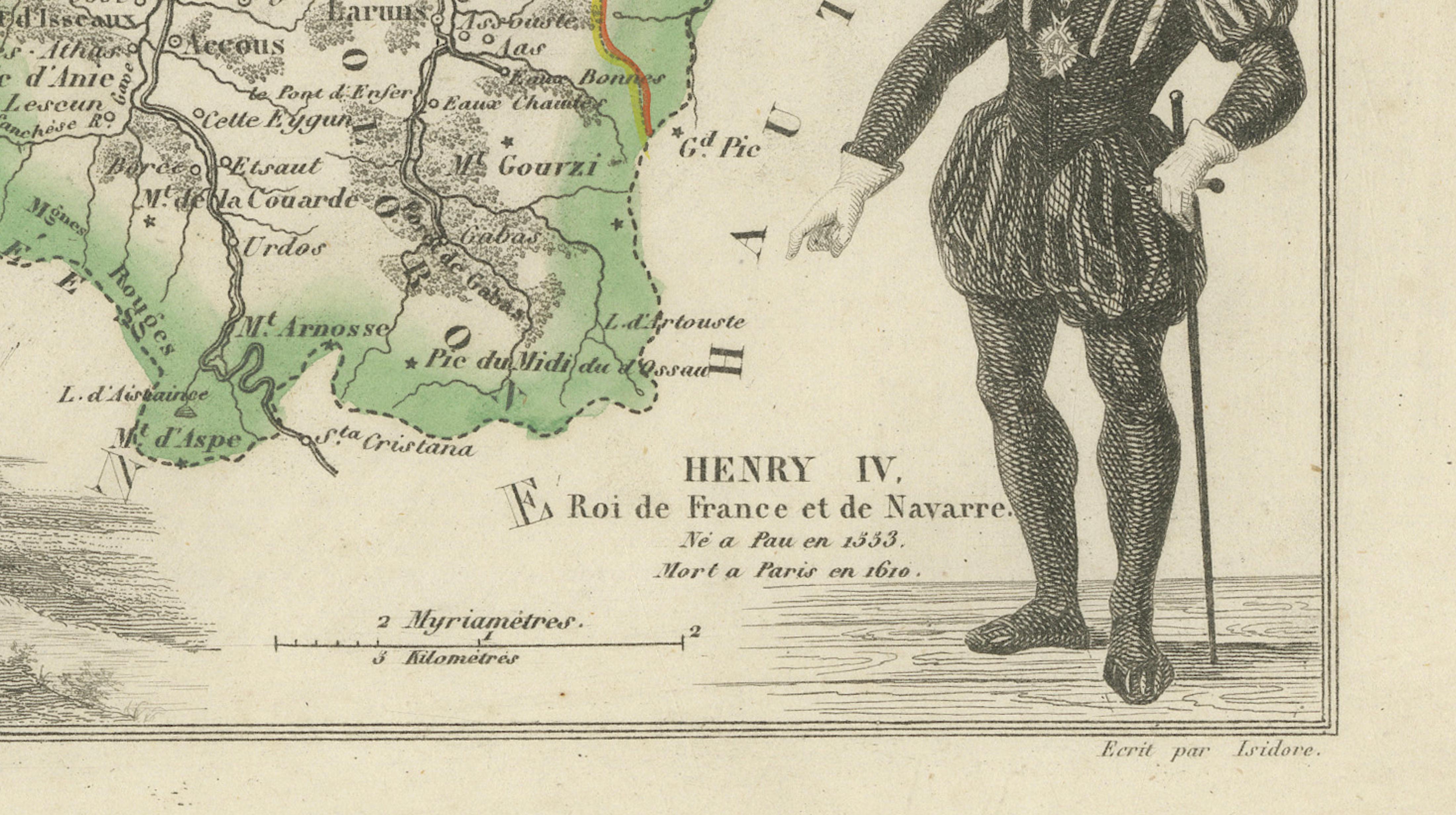
The decorative composition includes the historic arms of Pau, a large landscape view associated with Pau and a full-length portrait of Henri IV, King of France and Navarre, who was born at the Château de Pau in 1553.
Basses-Pyrénées historically encompassed the culturally distinct regions of Béarn and the French Basque Country. The department was subsequently renamed Pyrénées-Atlantiques in 1969 and today forms part of Nouvelle-Aquitaine.
The area is renowned for its Atlantic resorts, Pyrenean landscapes, Basque villages and historic pilgrimage routes. Particularly desirable locations include Biarritz, Bayonne, Saint-Jean-de-Luz, Hendaye, Pau and Saint-Jean-Pied-de-Port.
Important regional products include Jurançon wine, produced from local grape varieties such as Petit Manseng and Gros Manseng, and Ossau-Iraty, a traditional sheep’s-milk cheese made in the Basque Country and Béarn.
An attractive historical map for collectors of French cartography, Basque heritage, Béarn history, Pyrenean landscapes and nineteenth-century decorative engravings.
This is an original antique engraving and not a modern reproduction. It is offered unframed. Any framed images are shown for presentation and interior inspiration only.
Technique: Engraving with original hand colouring
Maker: Alexandre Vuillemin
Place of Publication: Paris, France
Date: Circa 1850
Source: La France Illustrée
Department: Basses-Pyrénées, plate number 63
Present Name: Pyrénées-Atlantiques
Region: Béarn and French Basque Country
Condition:
Good antique condition with general age-related toning, scattered foxing, light staining and handling creases. Minor marks and wear are visible around the margins and edges. The original hand-coloured boundaries remain attractive and clearly visible. Wear is consistent with age and use. Please examine the images carefully, as they form an important part of the condition description.
Keywords:
Alexandre Vuillemin, antique Basses-Pyrénées map, Basses Pyrenees France map, Pyrénées-Atlantiques map, French Basque Country map, Pays Basque map, Béarn antique map, Nouvelle-Aquitaine map, Pau antique map, Château de Pau, Henri IV, Henry IV of France, King of Navarre, Bayonne antique map, Biarritz antique map, Biarritz wall art, Saint-Jean-de-Luz map, Hendaye map, Oloron-Sainte-Marie, Orthez map, Salies-de-Béarn, Saint-Palais map, Mauléon-Licharre, Saint-Jean-Pied-de-Port, Camino de Santiago, Way of Saint James, French pilgrimage map, Cambo-les-Bains, Espelette village, Hasparren map, Ustaritz map, Bidache map, Navarrenx map, Sauveterre-de-Béarn, Atlantic Pyrenees, Pyrenees mountains, Basque coast, Côte Basque, Bay of Biscay, Gulf of Gascony, La France Illustrée, decorative French map, French departmental map, nineteenth-century cartography, antique French engraving, original hand colouring, arms of Pau, French royal history, Basque culture, Béarnaise culture, Jurançon wine, Jurançon Sec, Petit Manseng, Gros Manseng, Irouléguy wine, Madiran wine, Pacherenc du Vic-Bilh, Ossau-Iraty cheese, ewe’s milk cheese, Brebis cheese, Bayonne ham, Jambon de Bayonne, Piment d’Espelette, gâteau basque, Basque cider, Garbure Béarnaise, poule au pot, Basque gastronomy, surfing Biarritz, coastal wall art, ski chalet decor, French country interior, Francophile gift, library wall art, office decor, collector’s map, original antique map