About this sheet
John Tallis & Company was a British map-making firm that gained widespread acclaim in the 19th century, particularly known for their detailed and artistically embellished maps. The firm was renowned for including elaborate margins and vignettes that depicted various aspects of the region in question, such as local scenes, people, fauna, and flora.
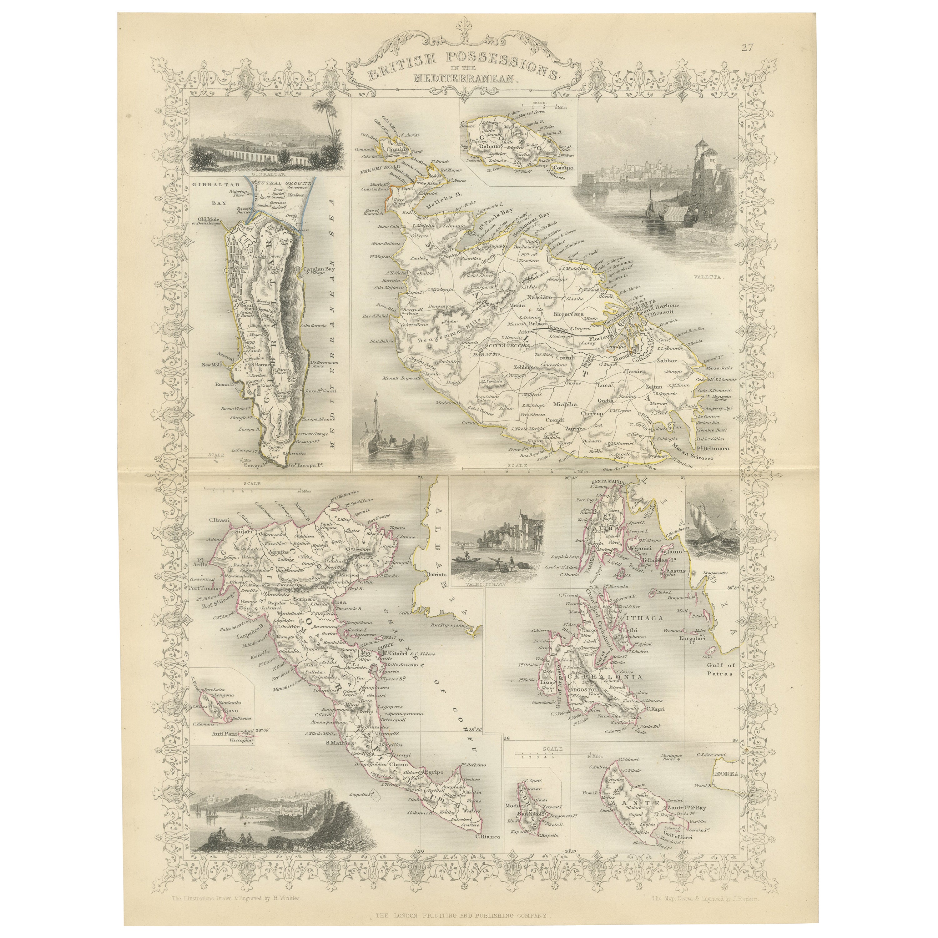
The map of the British Possessions in the Mediterranean is likely one in a series created for "The British Colonies" by Robert Montgomery Martin. These maps typically showed not just the geography, but also highlighted the extent and reach of the British Empire at the time. They were as much political statements as they were geographical tools, showcasing Britain's global dominance.
This particular map would have detailed the various British-controlled territories in the Mediterranean region. This would include major strategic holdings such as Gibraltar and Malta, among others. The detailed insets and vignettes would depict important landmarks, like the Rock of Gibraltar or the Grand Harbor of Valletta, and perhaps key battles or events, reflecting their historical and strategic importance to British imperial interests.
The countries and regions depicted in this map were crucial naval bases and points of control that allowed the British Empire to exert influence over the Mediterranean Sea, protecting trade routes and maintaining military strength.
The Tallis series of maps are significant historical documents. They serve as a testament to the period's cartographic techniques, as well as the political aspirations and cultural attitudes of the British Empire. Today, these maps are valued for their artistic qualities and as historical records of British imperialism.
The images in more detail:
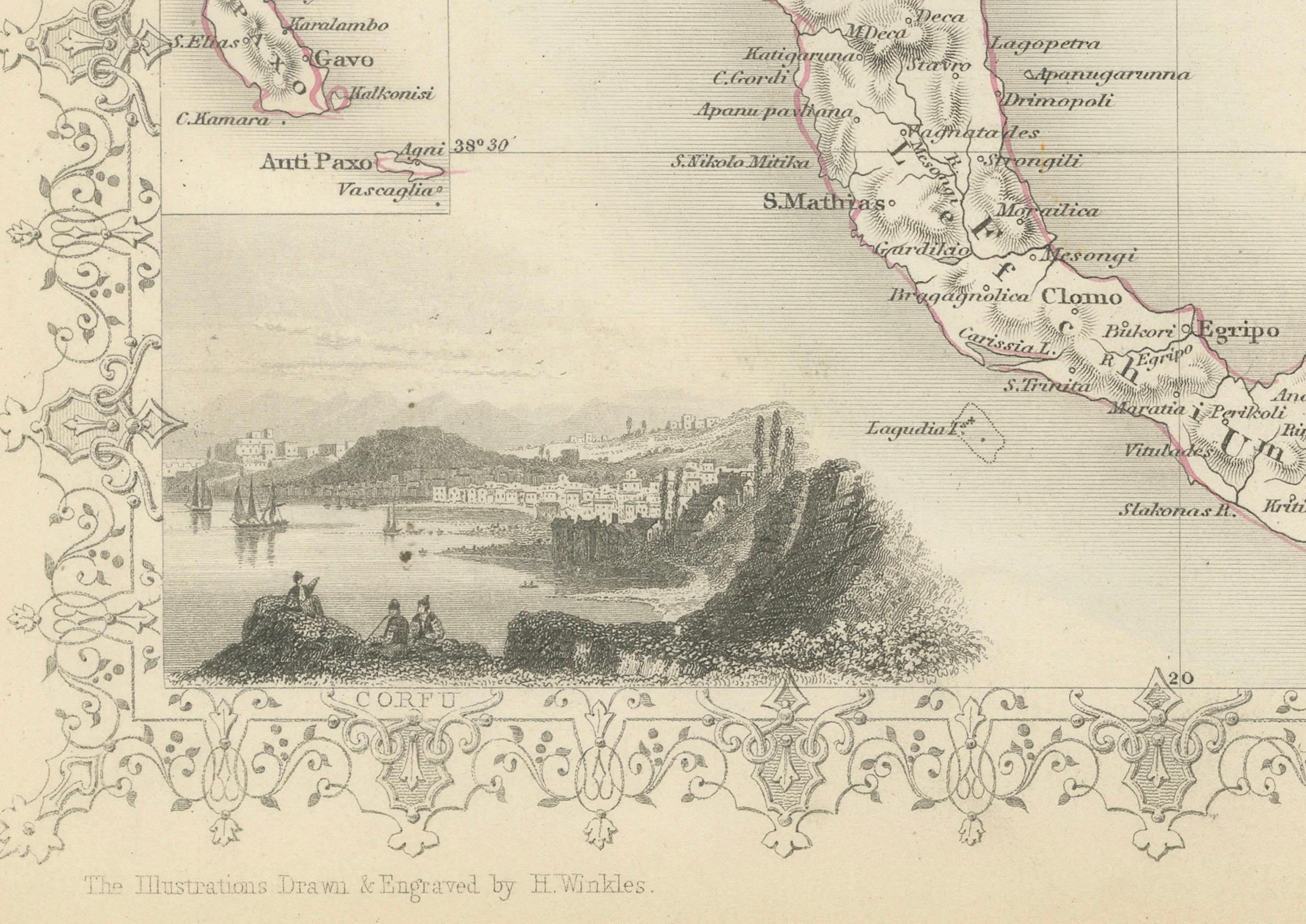
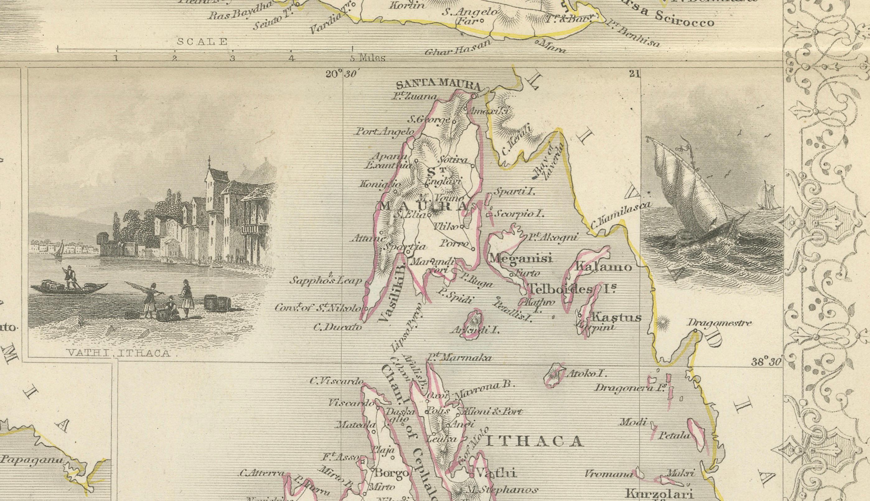
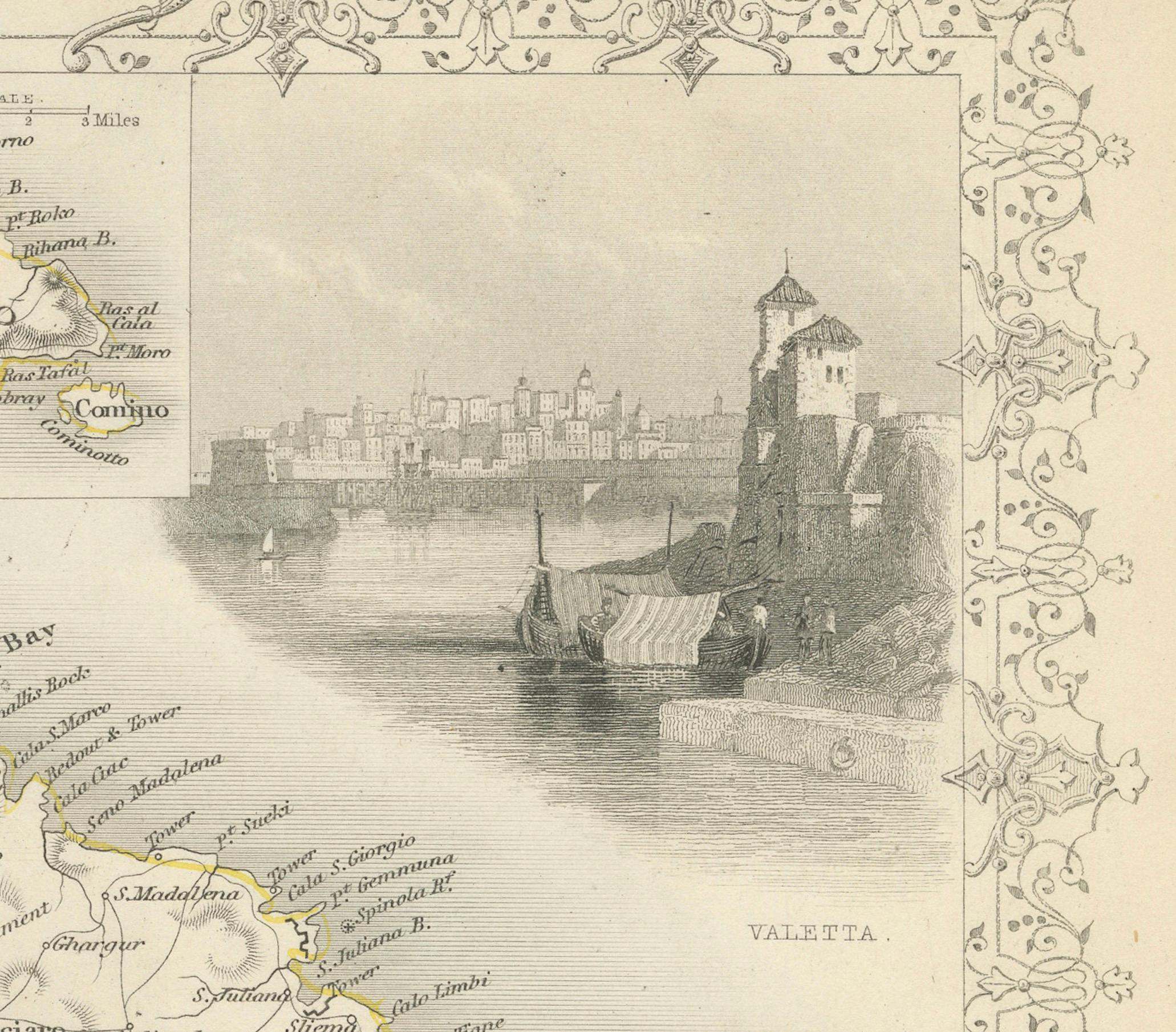
The images or insets on this map are detailed engravings that depict significant locations within the British possessions in the Mediterranean. Here's a description:
1. **Corfu**: This inset likely shows a view of Corfu, a Greek island in the Ionian Sea. It may depict the coastal landscape along with the architecture and fortifications that were significant during the British administration.
2. **Vathi, Ithaca**: Vathi is the main harbor of Ithaca, an island famously associated with Homer's "Odyssey." The scene might capture the tranquil waterfront and local boats, reflecting the peaceful Mediterranean lifestyle.
3. **Valletta**: This would be an illustration of Valletta, the capital of Malta, highlighting its historic skyline. The fortified city is known for its strategic importance and the Grand Harbour, which could be featured in the engraving.
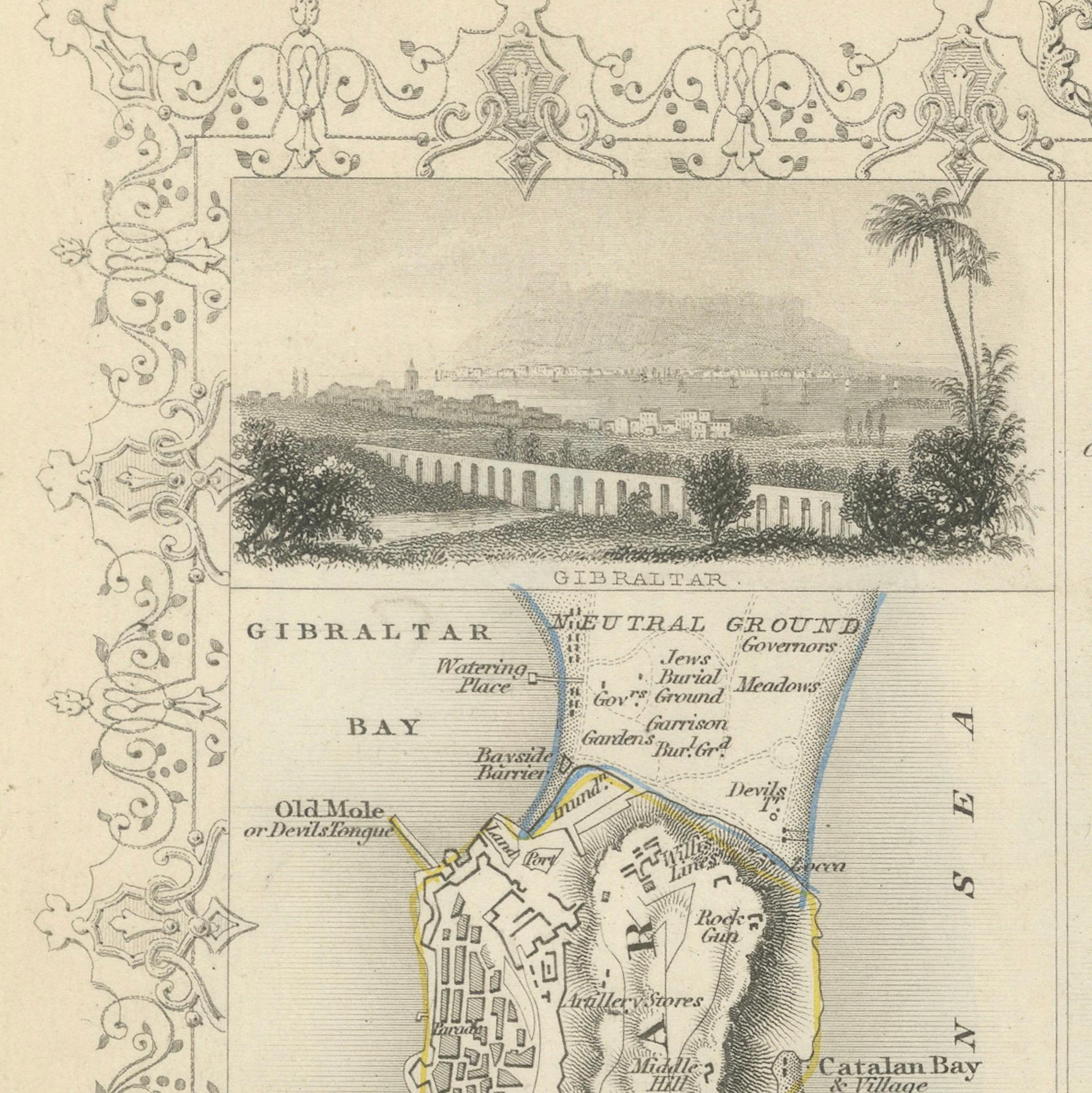
4. **Gibraltar**: The image here probably presents a view of the Rock of Gibraltar, an overseas territory of the UK. It might show important landmarks like the neutral ground, the bay, and perhaps the Moorish Castle or the Great Siege Tunnels, essential to Gibraltar's military history.
These insets not only add artistic value to the map but also serve as informative windows into the local geographies and histories of these strategic Mediterranean holdings under British control during the 19th century.