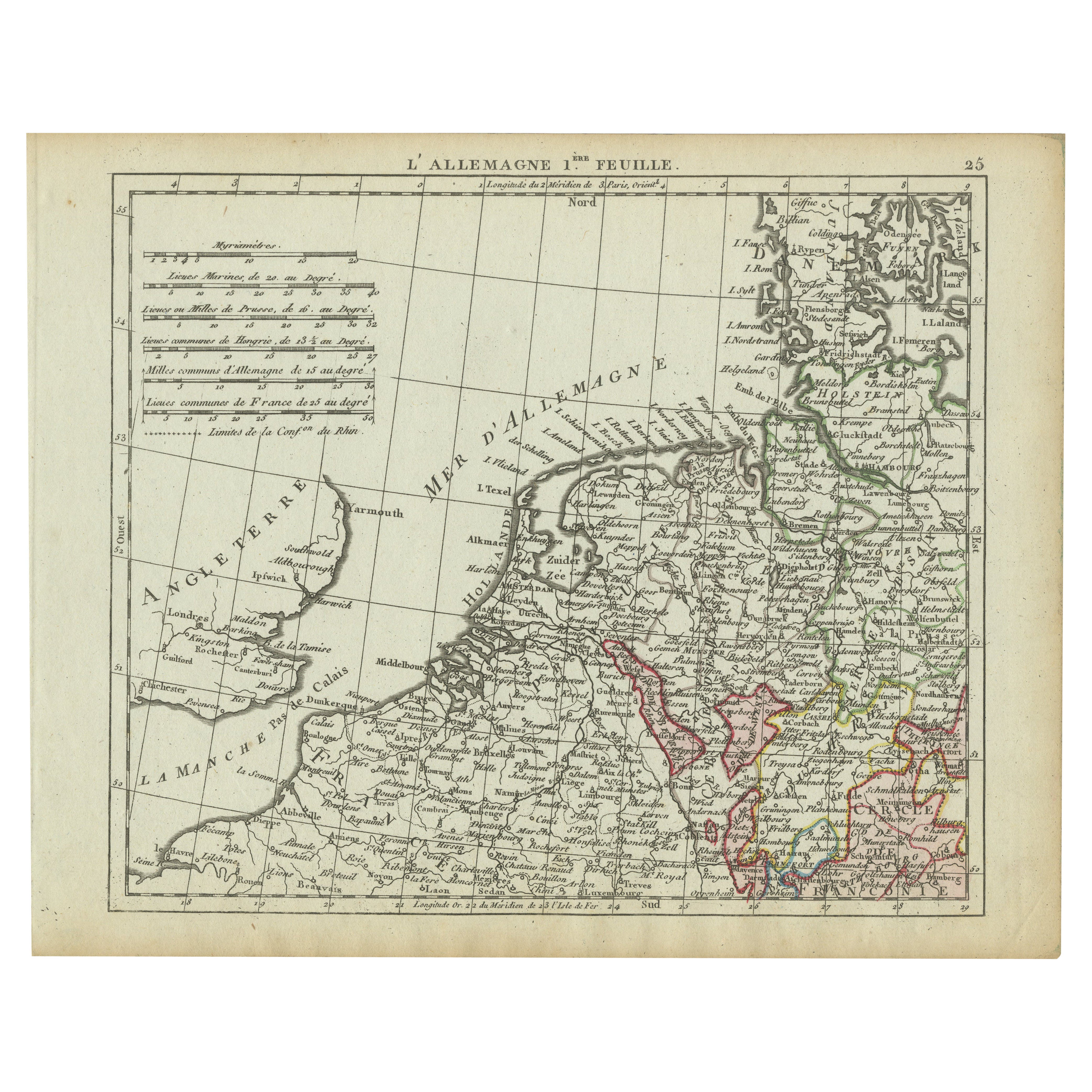
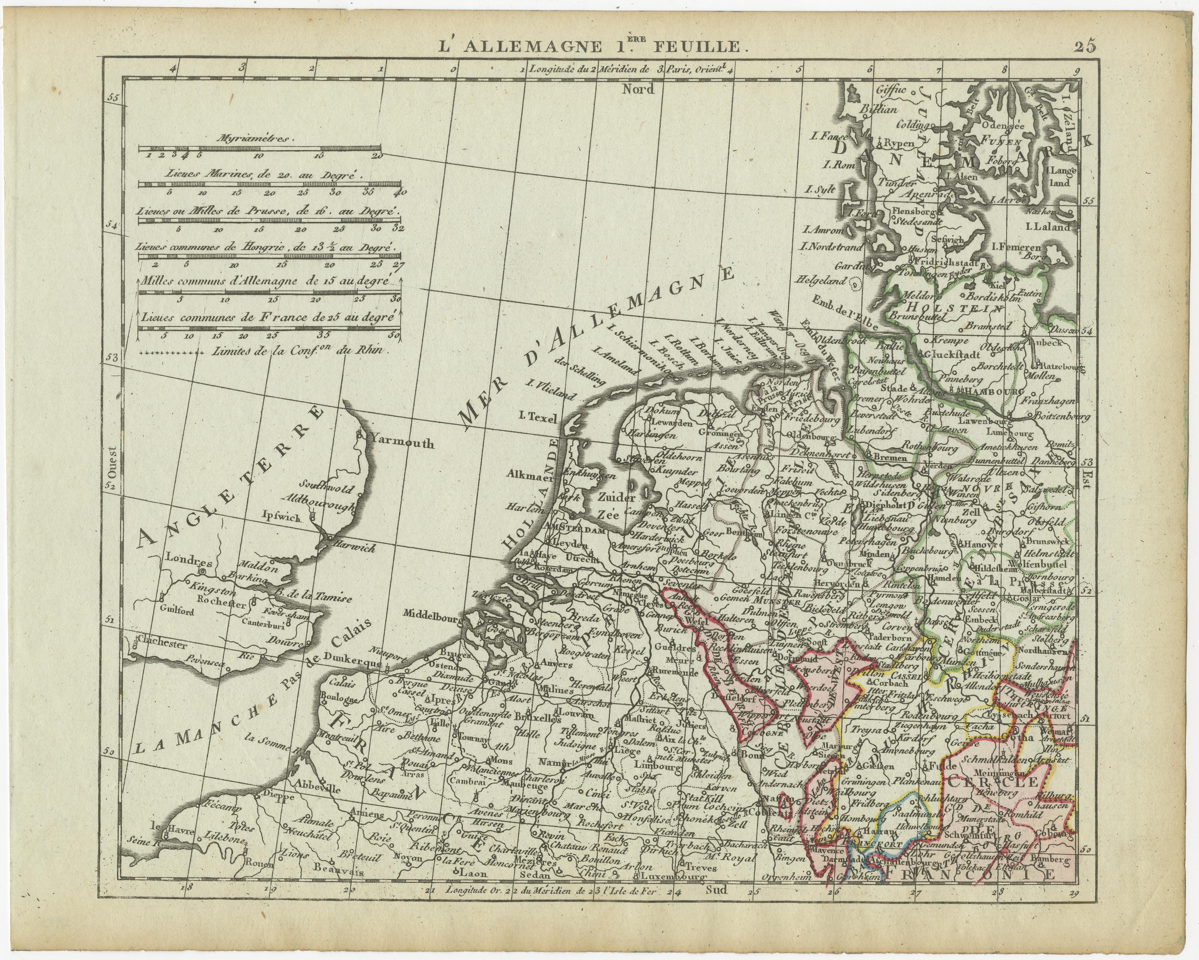
Antique Map of Northern Germany and the Netherlands – circa 1806
€ 110
One of a kind: this is the sheet in the photographs. Ships from Langweer, the Netherlands.
Date
1806
Sheet size
20 × 25 cm (7.9 × 9.8 in)
Condition
Good
Reference
BG-13094-5
Condition
with no major tears or losses.
About this sheet
This finely engraved antique map, titled L'Allemagne 1re Feuille, depicts the northern regions of Germany, the Netherlands, and part of England. The map is from an 18th-century or early 19th-century French atlas and showcases detailed geographical information, including cities, rivers, and political boundaries of the period. The coastlines of the North Sea (Mer d'Allemagne) are well-defined, with major port cities such as Amsterdam, Hamburg, and Bremen clearly marked. England's eastern coastline, including London, Yarmouth, and Ipswich, is also featured.
The map includes a scale conversion chart in the upper left corner, allowing for measurements in various units, including German miles, French leagues, and marine leagues. The hand-colored borders distinguish different political entities, reflecting the fragmented nature of the Holy Roman Empire at the time.
Condition Report: Paper Quality: High-quality 18th-century paper with a natural warm tone. Engraving: Crisp and well-detailed, with clear typography. Coloring: Hand-applied border colors remain vibrant. Margins: Wide margins with minor toning and light foxing. Overall Condition: Good, with no major tears or losses.
Framing Tips: Matting: Use an off-white or light cream acid-free mat to complement the antique appearance. Glass: UV-resistant glass will help preserve the paper and prevent fading. Frame Style: A dark wood or gilt frame enhances the historical character. Mounting: Conservation-grade materials should be used to ensure longevity.
This is a highly detailed and historically significant map, perfect for collectors of European cartography or historical geography enthusiasts.