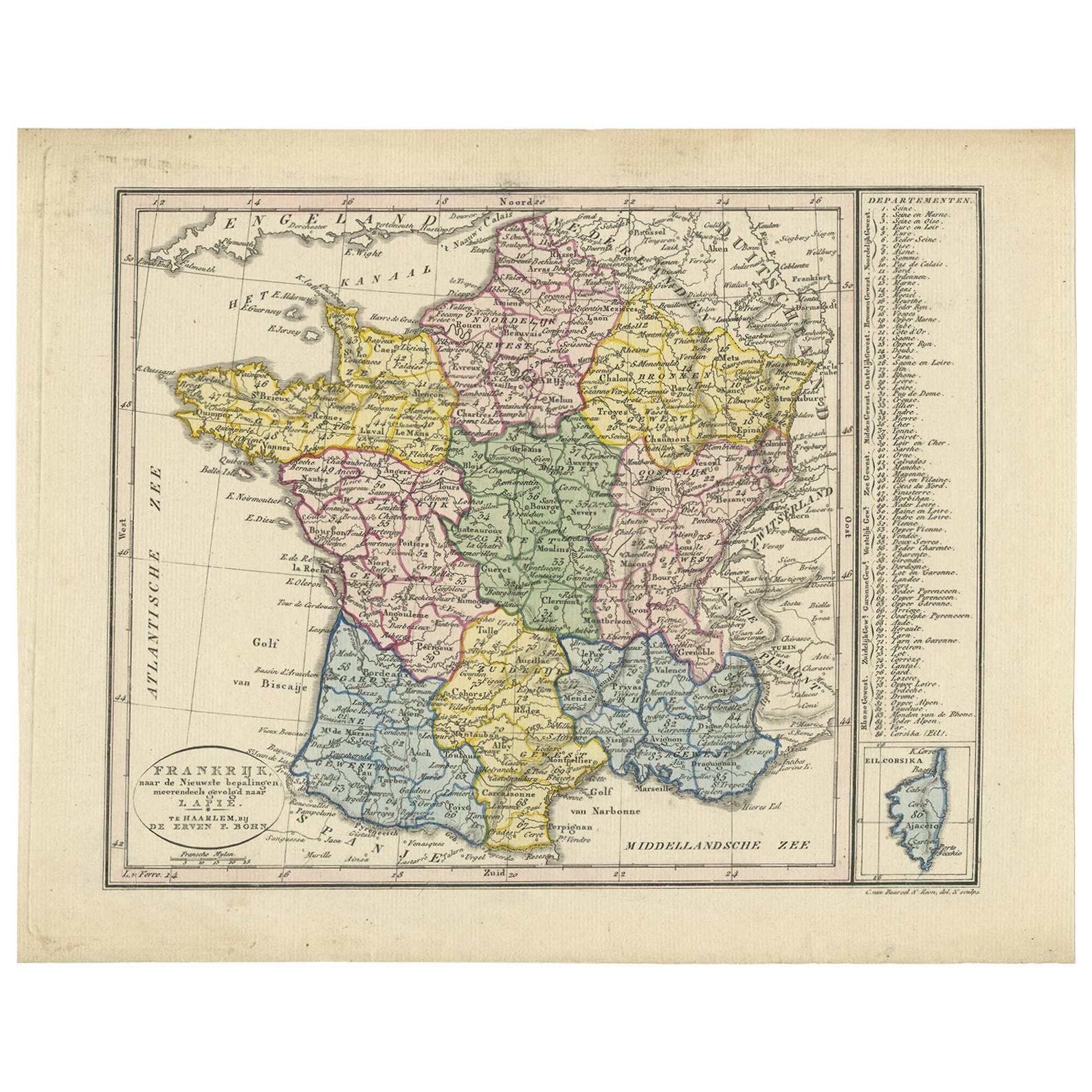
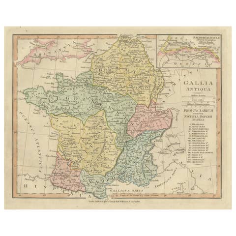
One of a kind: this is the sheet in the photographs. Ships from Langweer, the Netherlands.
Date
1820
Sheet size
24.7 × 30.8 cm (9.7 × 12.1 in)
Condition
Good
Reference
BG-03361
Condition
General age-related toning, minor wear. Please study images carefully.
About this sheet
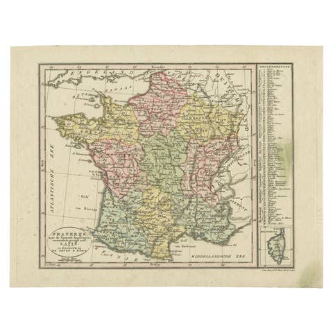
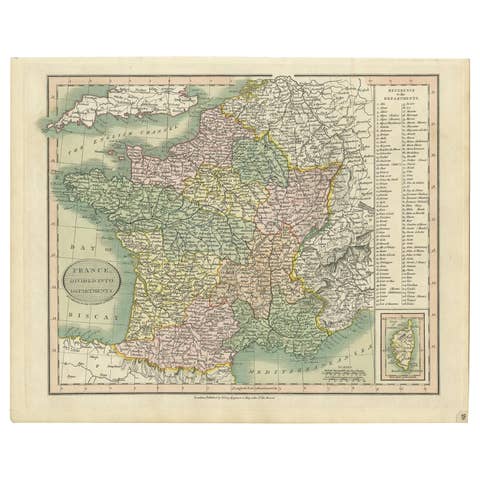
'Frankrijk naar de nieuwste bepalingen meerendeels gevolgd naar Lapie'. Beautiful map of France with an inset map of the island of Corsica. Includes a table with reference to the departments. Engraved by C. van Baarsel & Zoon. Published by F. Bohn, Haarlem.
Key details about the map:
- **Geographical Coverage:** The map covers France, incorporating the most recent geographical delineations and boundaries. The inclusion of an inset map of Corsica likely highlights this island's specifics within the broader context of France. - **Department References:** The table on the map lists or references the various departments within France. Departments are administrative divisions within the country, and this table might provide details or categorization related to these divisions. - **Engraving Details:** Engraved by C. van Baarsel & Zoon, indicating the skilled craftsmanship involved in creating the map. Engraving was a common technique for producing detailed and high-quality maps during earlier periods. - **Publisher:** Published by F. Bohn in Haarlem, suggesting the map's origin and distribution through this publisher in the city of Haarlem.
This type of map would serve as a valuable historical and geographical resource, providing insights into the administrative divisions, geographical features, and layout of France during the period it was created. It also reflects the cartographic advancements and attention to detail characteristic of maps produced during that era.