About this sheet
Antique Map of Eastern Germany, Bohemia, Moravia & Silesia – 1858
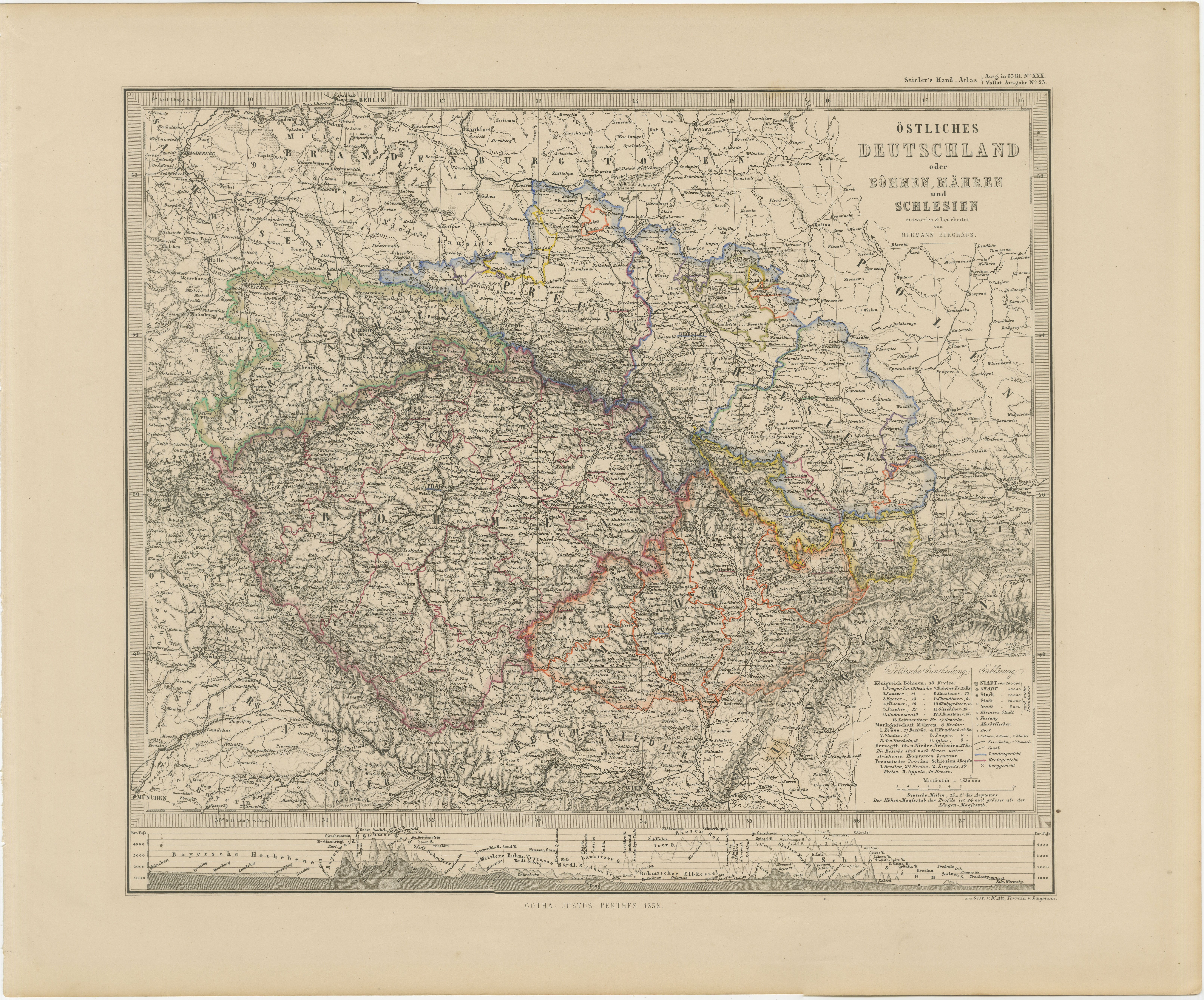
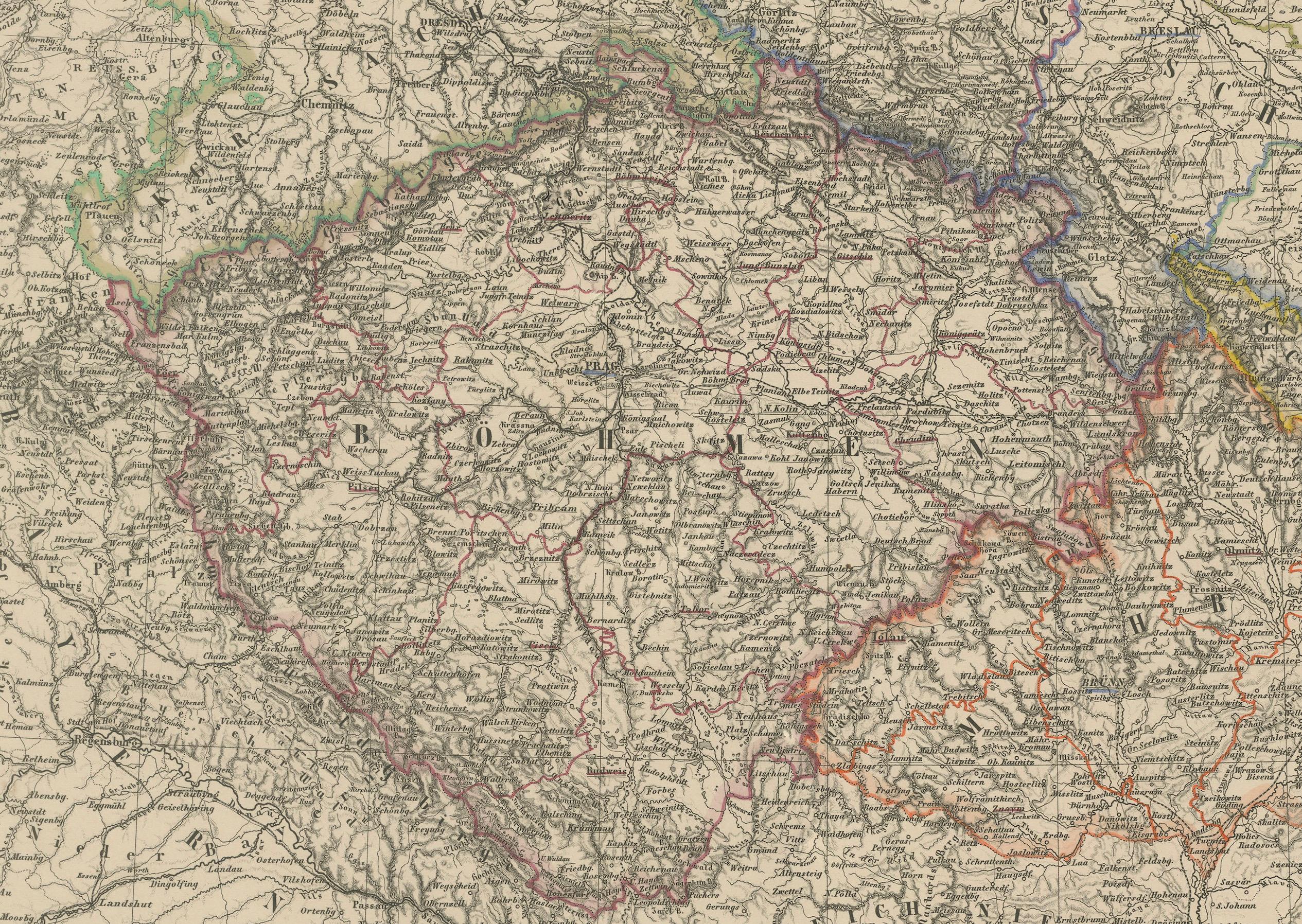
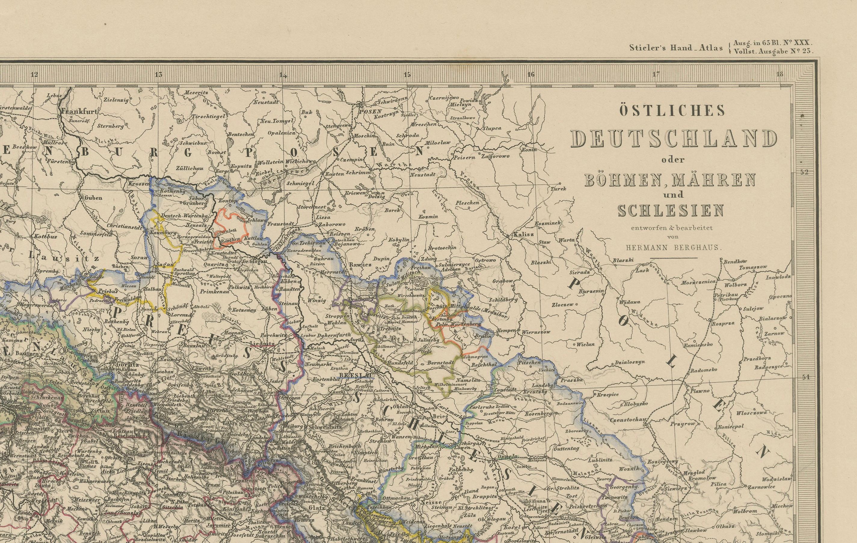
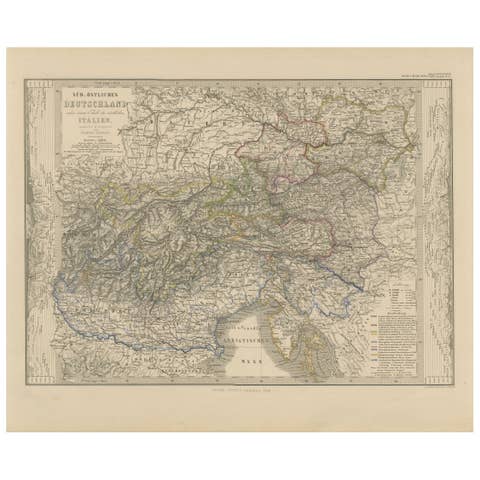
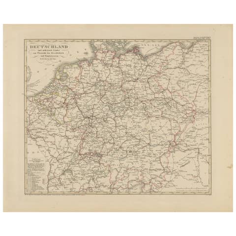
Detailed 19th-century engraved map titled "Östliches Deutschland mit Böhmen, Mähren und Schlesien" (Eastern Germany with Bohemia, Moravia, and Silesia), published by Justus Perthes in Gotha in 1858. This finely executed copperplate engraving presents a richly detailed view of the political and geographic landscape of Central Europe in the mid-19th century.
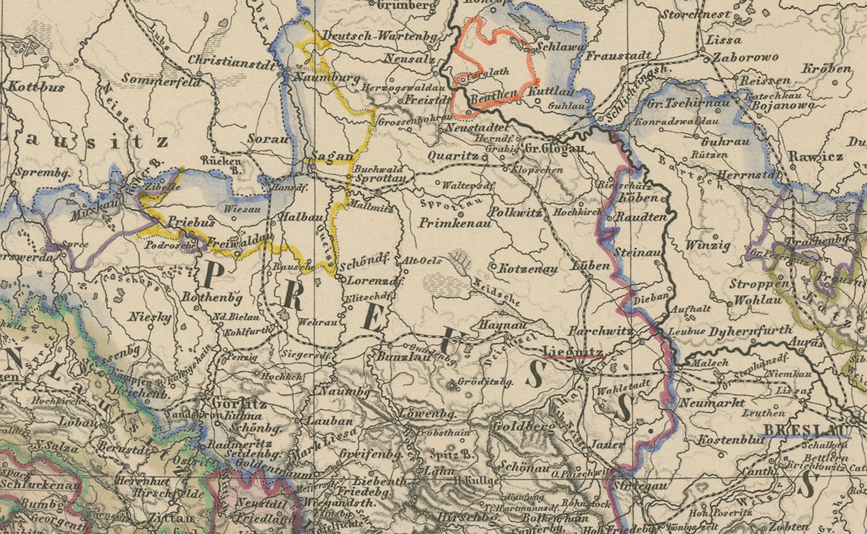
The map spans modern-day eastern Germany, the Czech Republic, and parts of southwestern Poland, highlighting the historic regions of Bohemia (Böhmen), Moravia (Mähren), and Silesia (Schlesien). Provincial and district boundaries are outlined in hand-applied colors, distinguishing the territories of Prussia, the Austrian Empire, and the German Confederation.
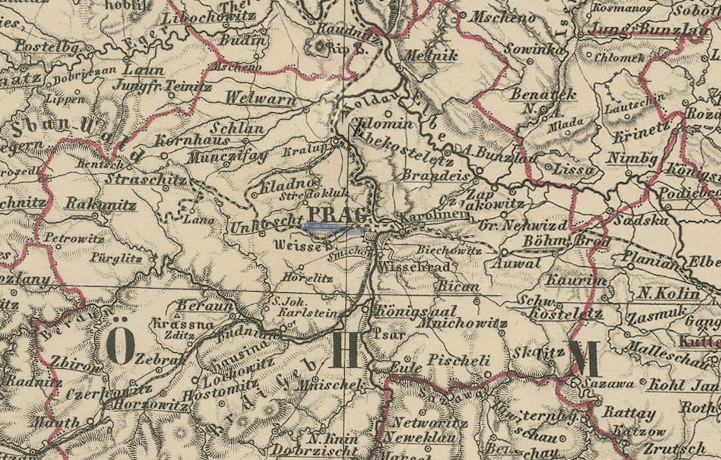
Major cities such as Prague, Breslau (Wrocław), Brünn (Brno), Olmütz (Olomouc), and Dresden are prominently marked, along with hundreds of towns, roads, rivers, and fortifications. The rich topographical engraving conveys the mountainous terrain of the Ore Mountains (Erzgebirge) and Sudetenland, and the forested interior of Bohemia.
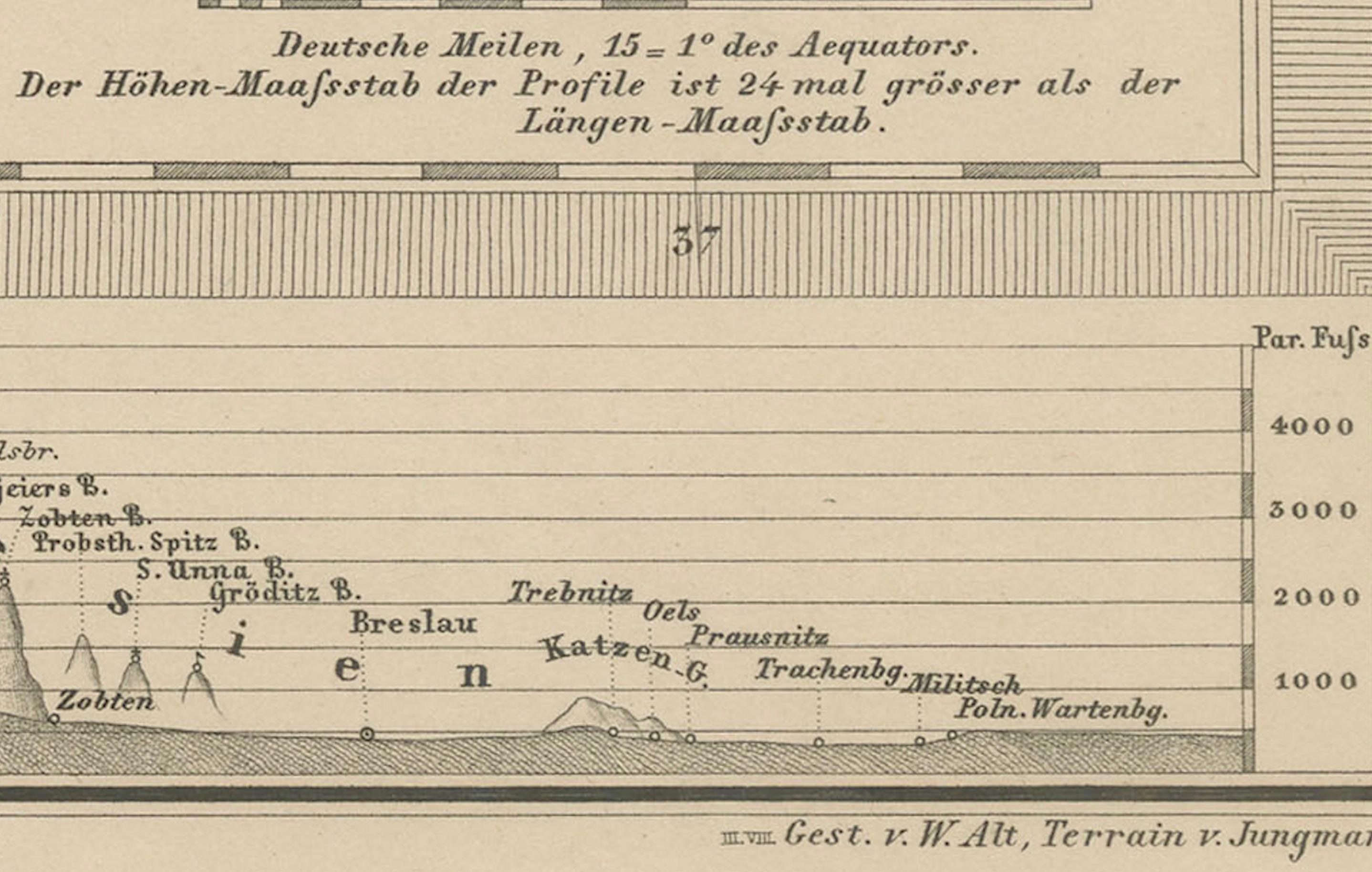
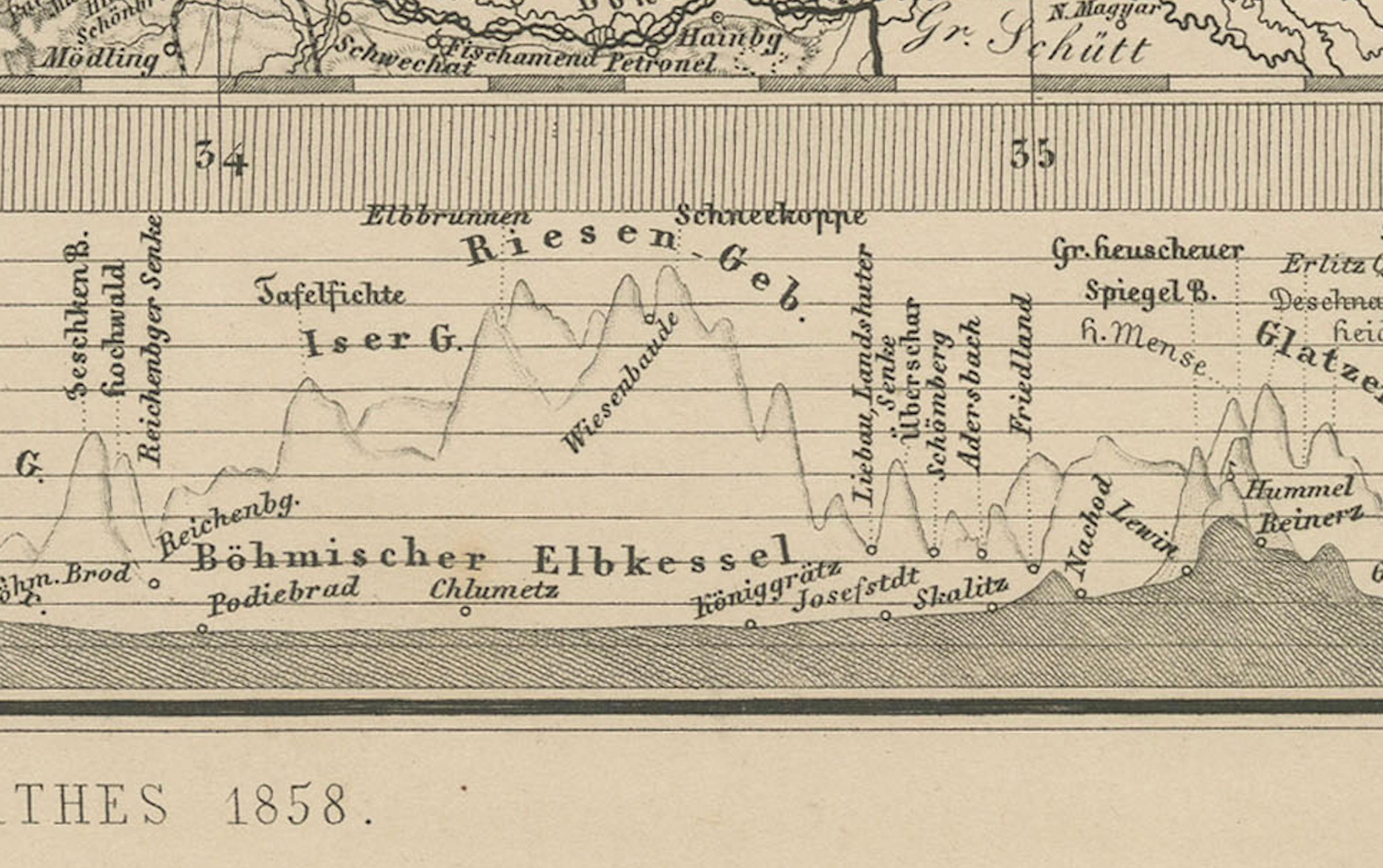
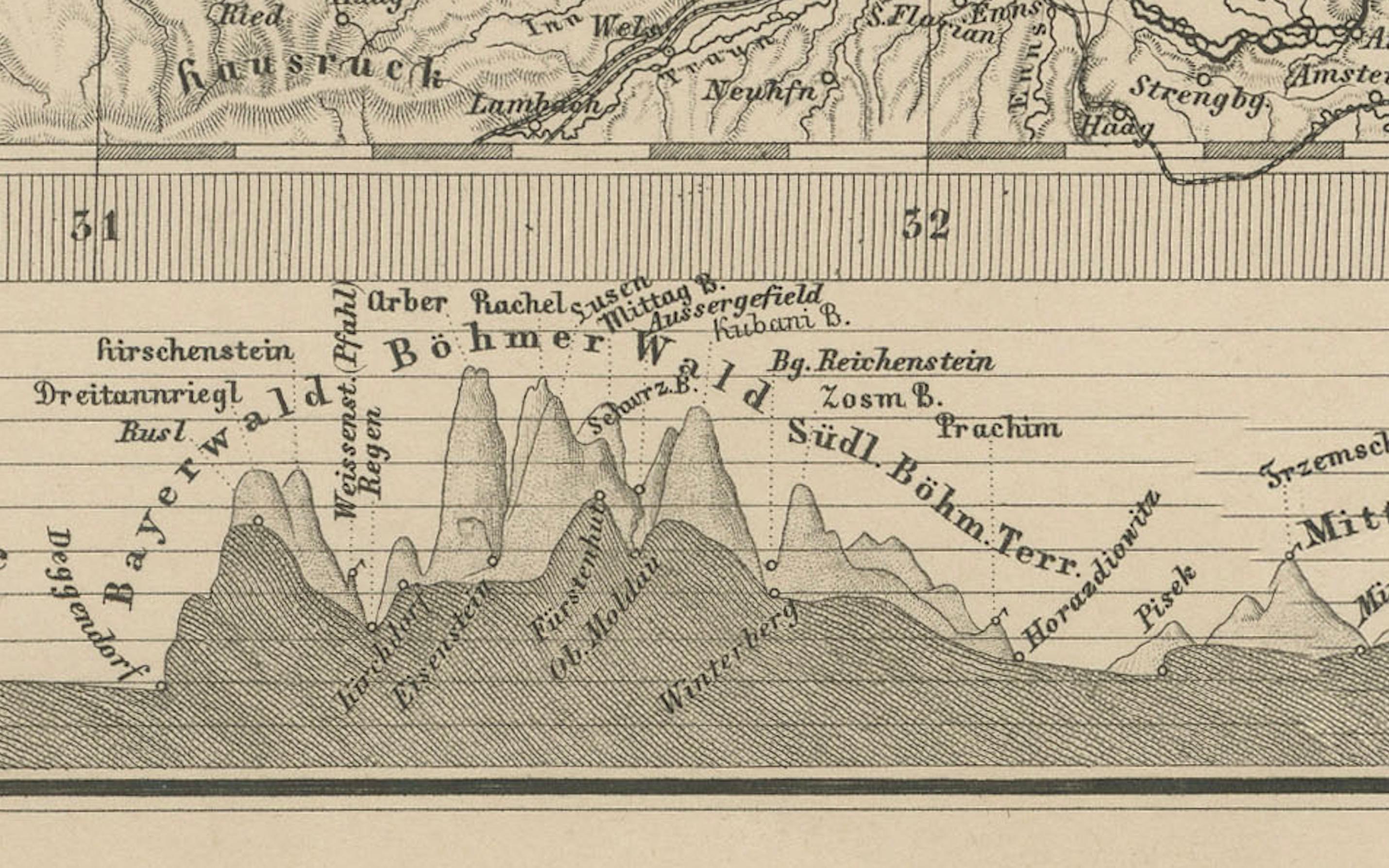
An elevation profile at the bottom of the map illustrates the varying altitudes across the depicted regions, providing valuable context to the landscape. A detailed legend identifies political divisions, mountain ranges, and road categories, enhancing the map's function as a historical and geographical reference.
This map captures the complex political landscape of Central Europe in a time of rising nationalism and shifting allegiances—prior to the Austro-Prussian War of 1866 and long before the redrawing of borders after the world wars. It is a valuable and decorative piece for collectors interested in the history of the Habsburg Empire, Prussia, and Central European geography.
Condition report:
Very good condition. Some light toning to outer margins. Hand-coloring well preserved and crisp. No tears or repairs. Image clean and finely detailed. Please inspect closely.
Framing tips:
A classic dark wood frame (ebony or walnut) with a warm ivory or parchment mat would suit this map well. A fine red or gold accent line may enhance the borders of Bohemia and Silesia. Ideal for historical interiors, libraries, or academic collections.
Technique: Copperplate engraving with original hand-coloring
Maker: Justus Perthes, Gotha, 1858