Antique Maps
2,327 original sheets
Europe 3023Asia 1110Africa 236America 548Australia & Oceania 159World Maps 111Sea Charts 209Celestial Maps 22
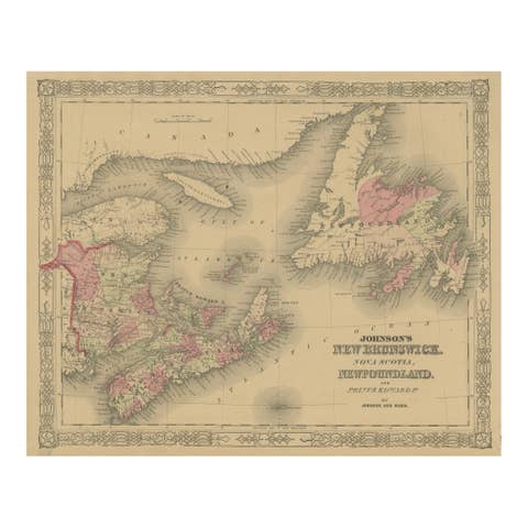
Johnson’s New Brunswick Nova Scotia Newfoundland Map, USA c.1864
1864 · € 220

Johnson’s Illinois Map, USA c.1864 – Hand-Colored with Chicago Courthouse View
1864 · € 270
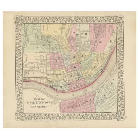
Plan of Cincinnati Map, USA c.1870 – Hand-Colored Street Plan with Wards
1870 · € 260
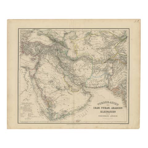
Map of Iran, Arabia, Asia Minor & Caucasus by Perthes, 1858
1858 · € 640
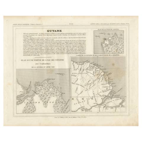
Map of Guyane (French Guiana) with Cayenne, circa 1826
1826 · € 160
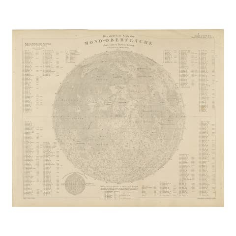
Visible Side of the Moon Map – Detailed Lunar Crater Chart, Published in 1858
1858 · € 380
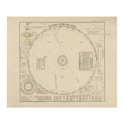
Solar System Map – Planetary Orbits and Data Chart, Published in 1857
1857 · € 440
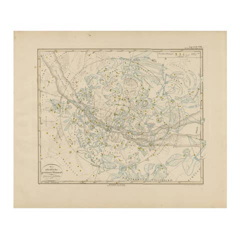
Northern Hemisphere Star Map – Constellations & Astronomical Chart, c.1858
1858 · € 440
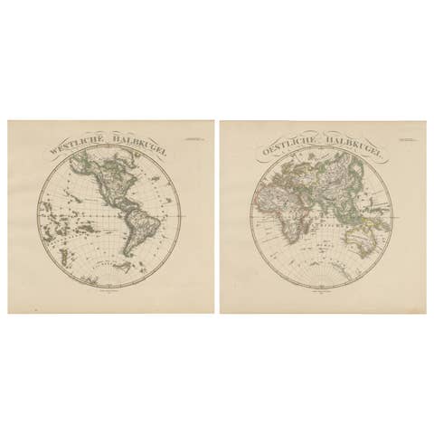
Western & Eastern Hemisphere Maps – World Double Hemisphere Engravings 1857
1857 · € 480
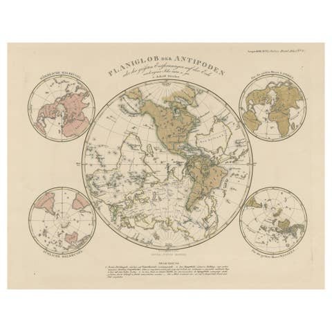
Planiglob of the Antipodes – Unique Global Projection Map 1857
1857 · € 380
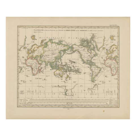
World Map – Mercator Projection with Global Sea Routes, Published in 1857
1857 · € 380

Arctic Polar Map – Greenland, North Pole & Russian Empire Regions, 1857
1857 · € 340
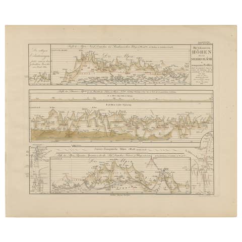
Mountain Elevation Profiles – Alps, Pyrenees, Andes & World Heights 1857
1857 · € 360
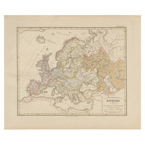
Europe Map – Rivers, Watersheds and Elevation, Published in 1857
1857 · € 360

Europe Map – Political Divisions and Borders, Published in 1858
1858 · € 340
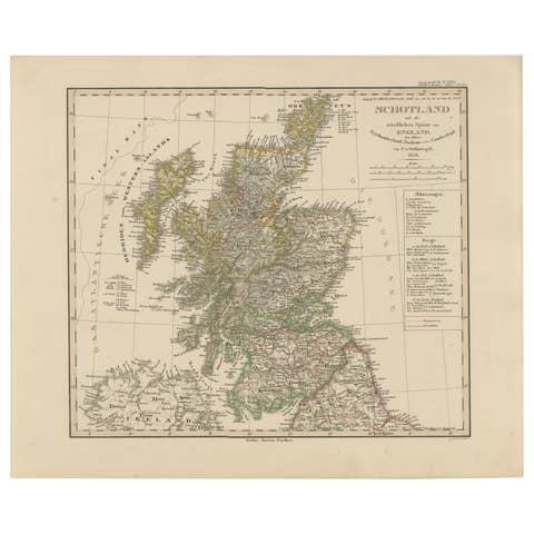
Scotland Map – Highlands, Islands, and Northern England 1858
1858 · € 340
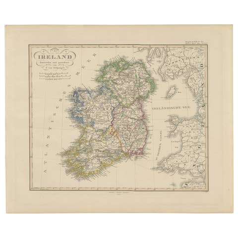
Ireland Map – Provincial and County Divisions 1851
1851 · € 340
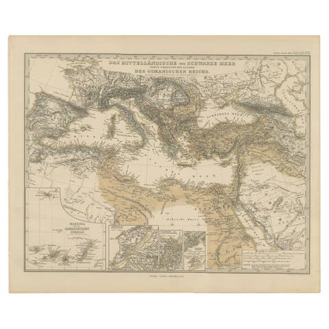
Mediterranean, Black Sea & Ottoman Empire Map 1853
1853 · € 540
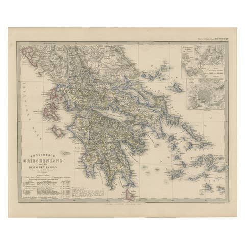
Greece Map – Kingdom of Greece and Ionian Islands 1847
1847 · € 340
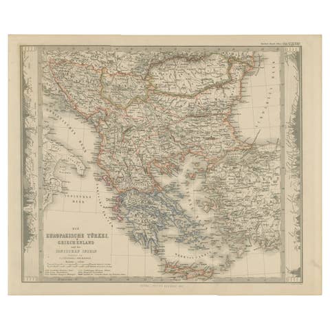
European Turkey and Greece Map – Balkans and Ionian Islands 1857
1857 · € 340
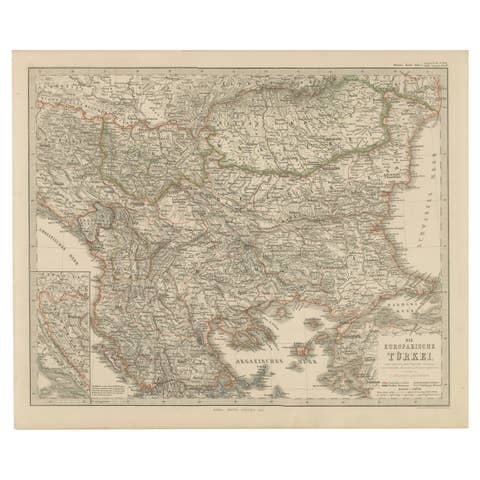
Antique Map of European Turkey and Greece, Copperplate Engraving, 1857
1857 · € 340

Australia, New Zealand, and Neighboring Islands Map 1858
1858 · € 290
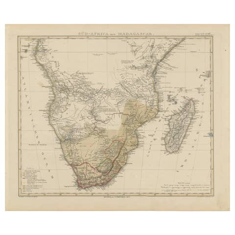
Southern Africa & Madagascar Antique Map – Beautiful 1857 Edition
1857 · € 370
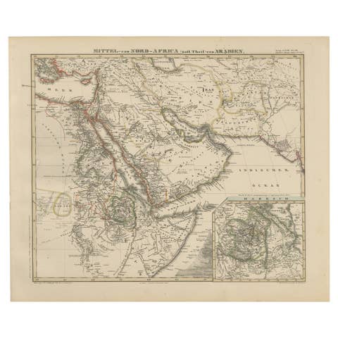
Historic 1857 Map of North-East Africa & Arabia – Fine Engraving
1857 · € 370

United States, Canada & Mexico – 1857 North America Map
1857 · € 370
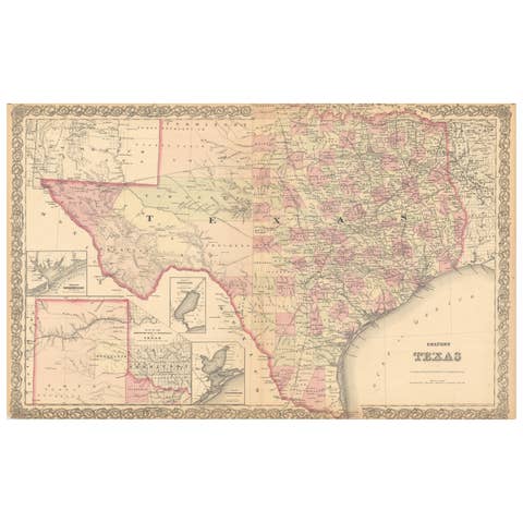
Large Antique Map of Texas with Panhandle & Bay Inset Maps, Colton, 1873
1873 · € 730
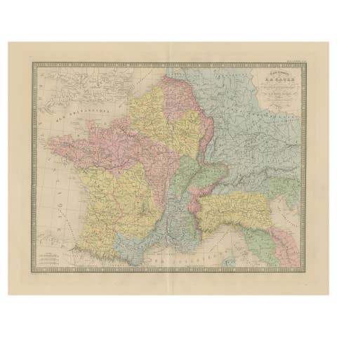
Roman Gaul & Northern Italy – Antique Map of La Gaule by Andriveau-Goujon, 1861
1861 · € 390
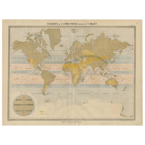
World Wind Currents Map – “Courants de l’Atmosphère” by Andriveau-Goujon, 1861
1861 · € 349
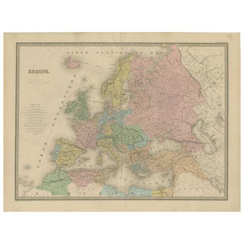
Antique Map of Europe – Political Divisions by Andriveau-Goujon, Paris 1861
1861 · € 390
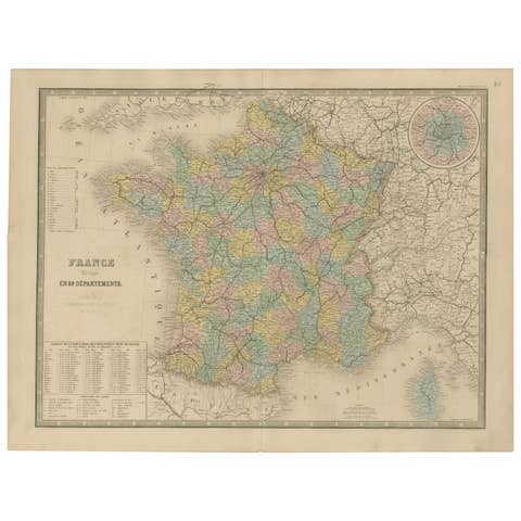
Antique Map of France – Divided into 89 Departments by Andriveau-Goujon, 1861
1861 · € 390
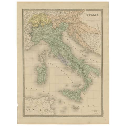
Antique Map of Italy – Pre-Unification Italy by Andriveau-Goujon, Paris 1861
1861 · € 390
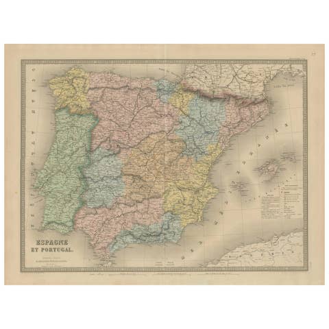
Spain & Portugal Map – Antique 1867 Engraving by Andriveau-Goujon, Paris
1867 · € 390
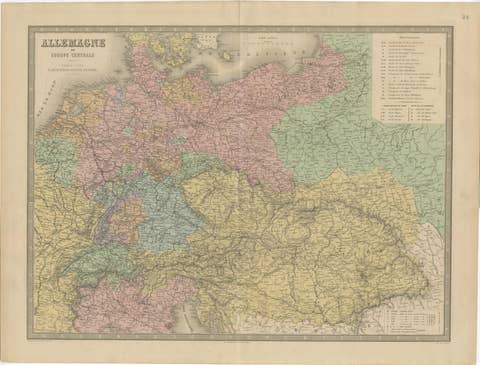
Germany & Central Europe – Antique 1865 Map by Andriveau-Goujon, Paris
1865 · € 390

Antique Map of Eastern Europe – Russia, Ottoman Empire & Greece, 1868
1868 · € 390
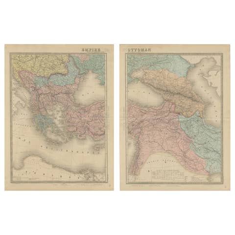
Large Antique Set Ottoman Empire Maps – Europe & Asia in Striking Detail, 1868
1868 · € 740
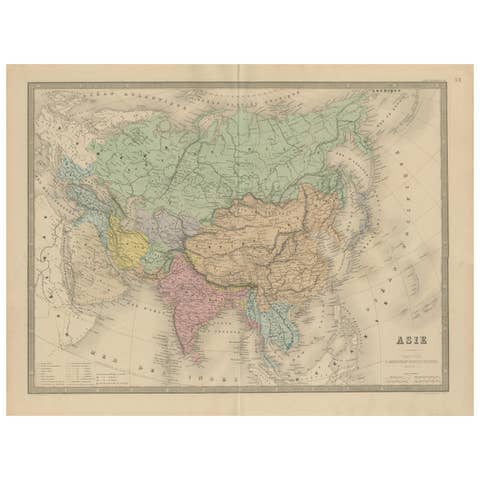
Antique Asia Map – Large 19th-Century Engraving with Political Boundaries, 1865
1865 · € 390
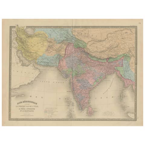
Antique Map of India, Persia & Afghanistan – Detailed Continental Engraving 1864
1864 · € 390

Antique Map of China, Japan & Korea – Eastern Asia by Andriveau-Goujon, 1860
1860 · € 390
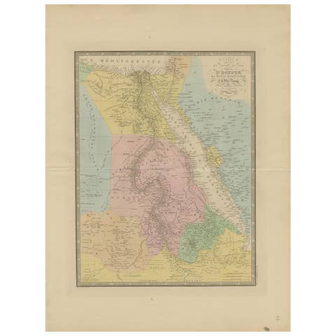
Egypt & Red Sea Antique Map – Detailed 1865 Chart of Nubia and Nile Regions
1865 · € 390
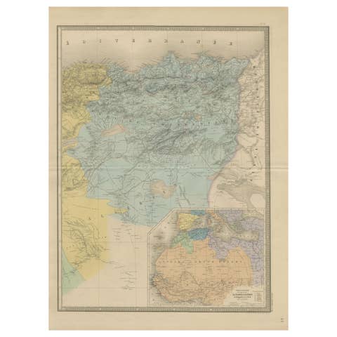
Antique Map of Algeria, Tunisia & Tripolitania – Andriveau-Goujon, Paris 1865
1865 · € 310
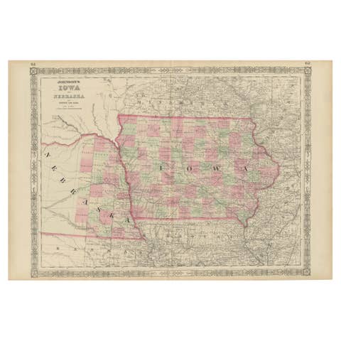
Vintage 1862 Map of Iowa and Nebraska – Decorative Atlas Print
1862 · € 590
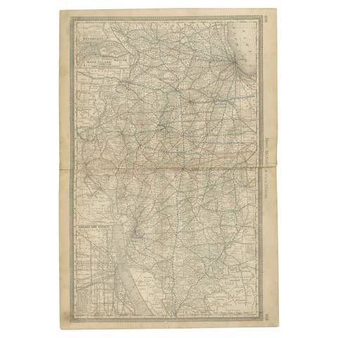
Detailed Antique Map of Illinois – Railroads, Cities & Counties, 1888
1888 · € 480
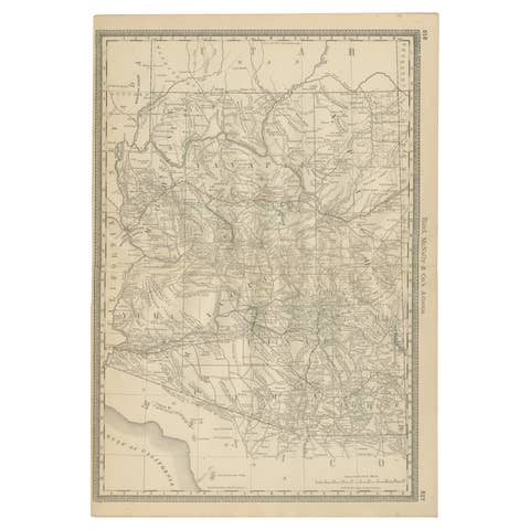
Rare 1888 Map of Arizona – Railroads, Mines & Early Frontier Settlements
1888 · € 480
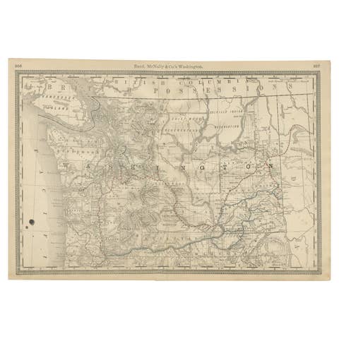
Washington Map 1888 – Antique Railroads, Indian Reservations & Counties
1888 · € 480
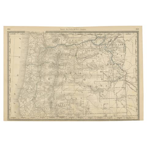
1888 Antique Map of Oregon – Railroads, Counties & Native Indian Reservations
1888 · € 480
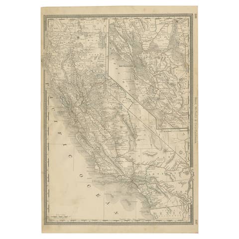
1888 California Map – The Golden State’s Railroads, Cities & Counties
1888 · € 540
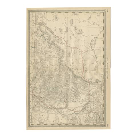
1888 Idaho Map – The Gem State’s Railroads, Mining Camps & Counties
1888 · € 460
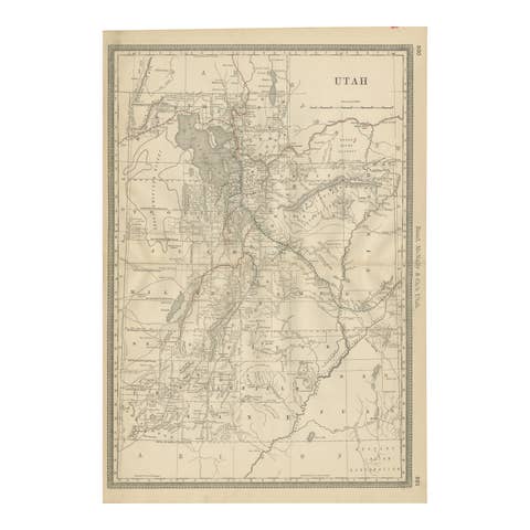
Rare 1888 Utah Map – The Beehive State’s Railroads, Counties & Great Salt Lake
1888 · € 460