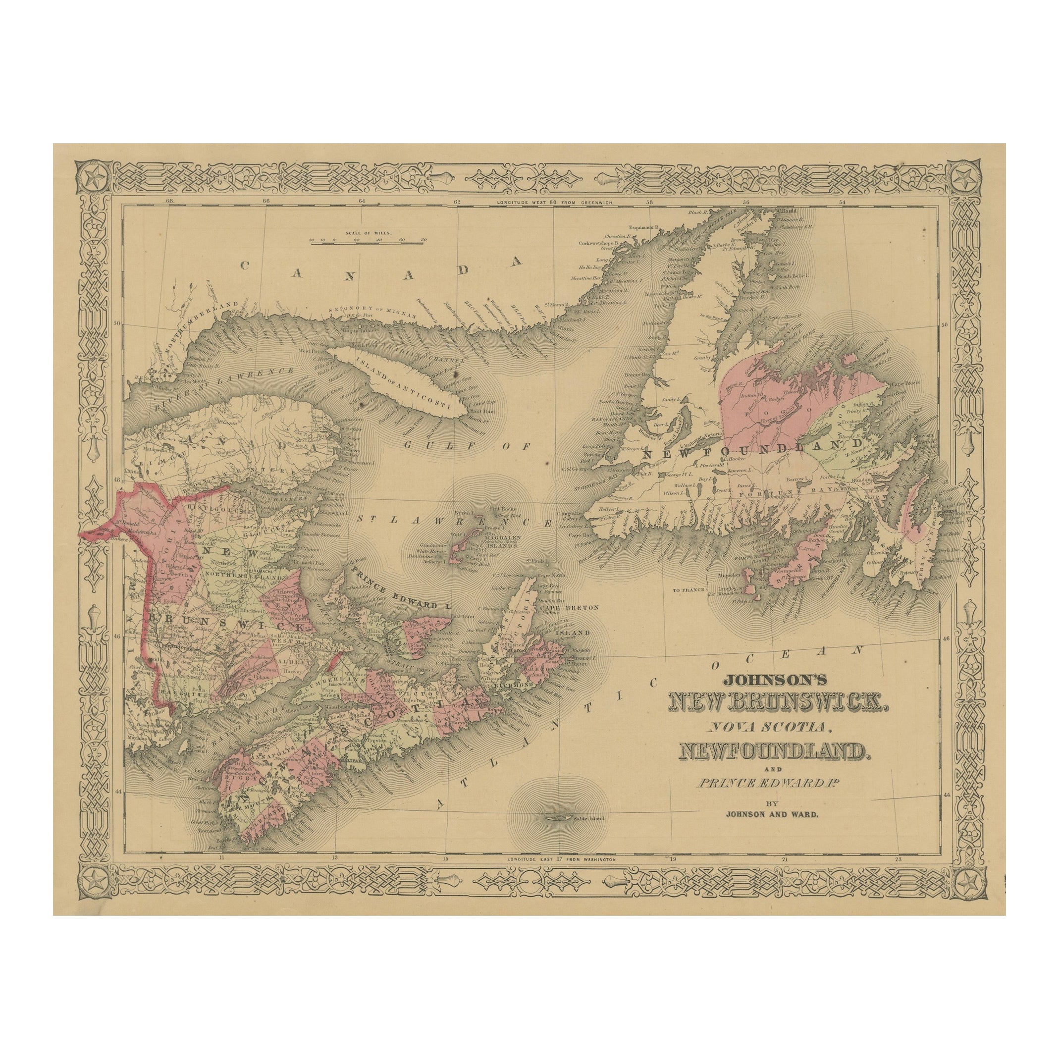
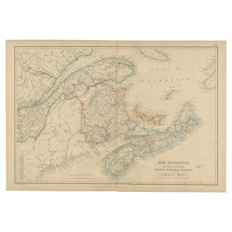
Johnson’s New Brunswick Nova Scotia Newfoundland Map, USA c.1864
€ 220
Original antique · The actual sheet photographed · Certificate of authenticity on request · Sold unframed · Worldwide shipping from € 15 (rates)
Date
1864
Sheet size
35.7 × 45.7 cm (14.1 × 18.0 in)
Condition
Fair
Reference
BG-13952-34
What the condition grades mean
Excellent
Bright and clean, with no faults worth mentioning.
Very good
Only light signs of age, such as faint toning.
Good
Normal signs of age for a sheet of this period: toning, some foxing, small marks or neat old repairs.
Fair
Clear faults such as staining, tears or repairs, priced to match.
Every fault we see is written in the condition note, and the whole sheet is shown uncropped in the photos.
Condition
Fair condition. Strong impression with bright original hand coloring. Light general age toning and minor marginal spots or handling marks. Small paper loss in lower left corner margin and other borders, not affecting printed area. Wide margins.
About this sheet
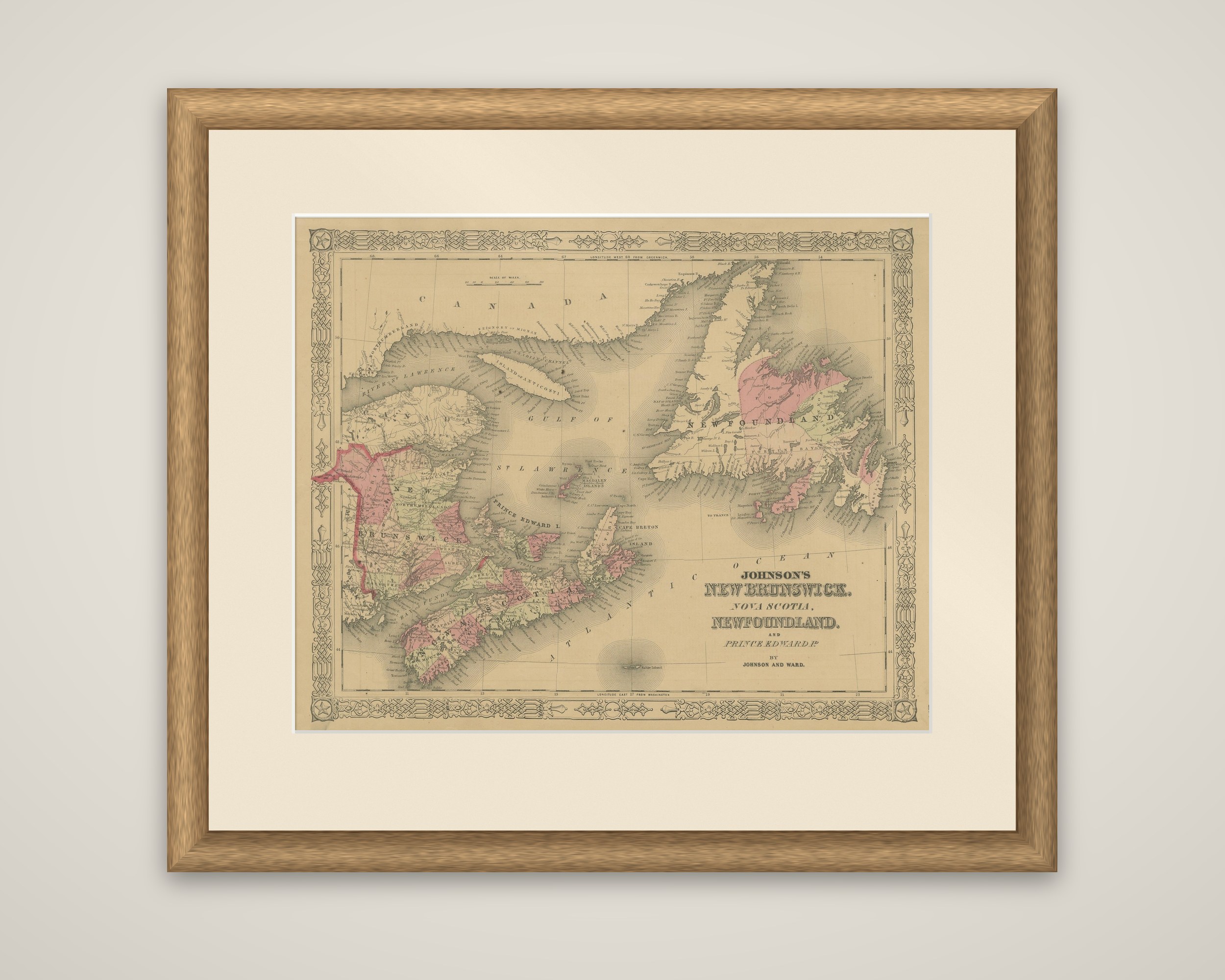
The Canadian Maritime provinces, "Johnson's New Brunswick, Nova Scotia, Newfoundland and Prince Edward Island by Johnson and Ward," a hand-colored steel-engraved map published in New York around 1864. The title is lettered at the lower right, in a decorative border.
The Gulf of St. Lawrence is the center of the sheet, with the Gaspe coast and Quebec at the top, labeled "Canada," and Anticosti Island lying in the gulf. New Brunswick and Nova Scotia occupy the lower left, with Prince Edward Island between them and Cape Breton Island at the right, and Newfoundland fills the upper right. Counties are tinted in pink and green, and towns, harbors and coastal features are lettered around the coast. A scale of miles appears at the upper left.
The map dates from a few years before Confederation in 1867, when New Brunswick and Nova Scotia joined Canada; Prince Edward Island entered in 1873 and Newfoundland remained outside until 1949. It shows the region as a set of colonies rather than provinces of a single country.