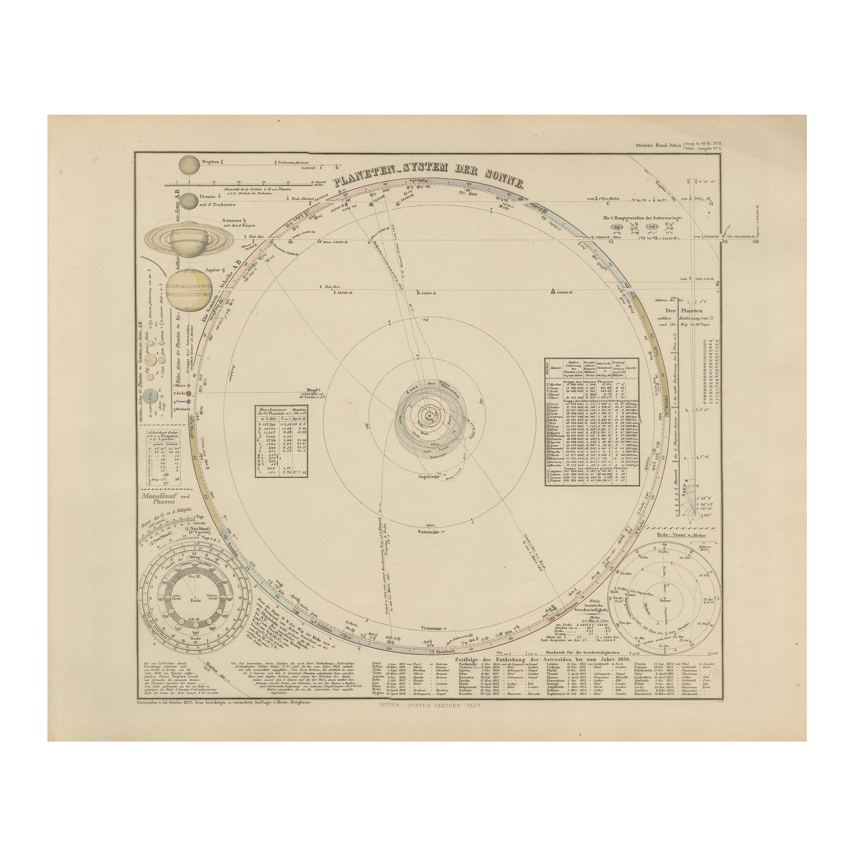
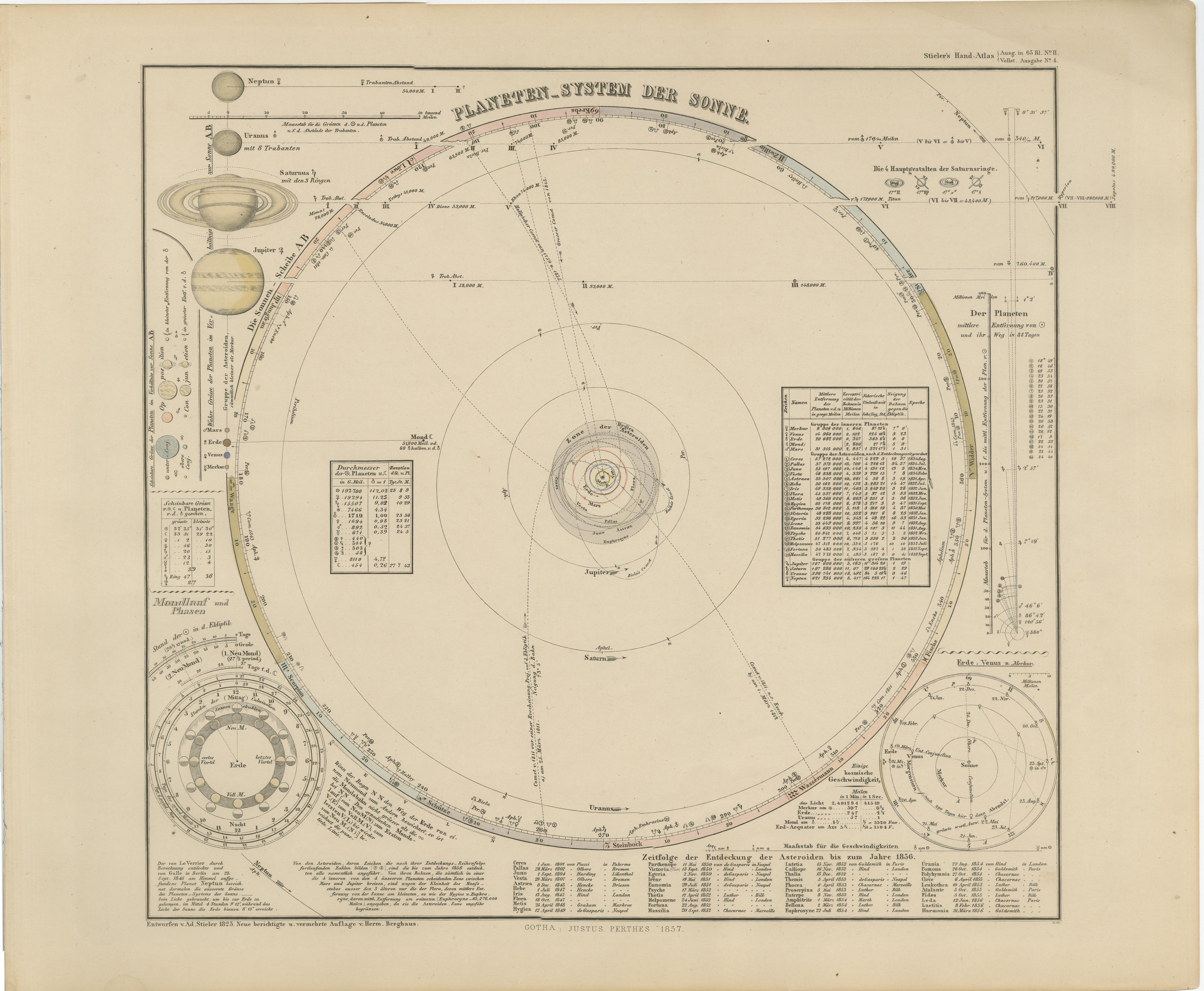
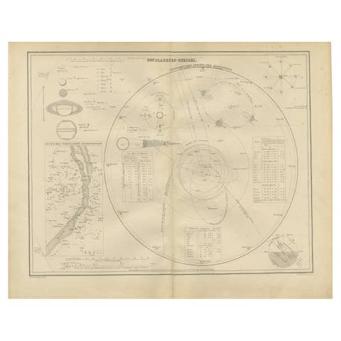
Solar System Map – Planetary Orbits and Data Chart, Published in 1857
€ 440
One of a kind: this is the sheet in the photographs. Ships from Langweer, the Netherlands.
Date
1857
Sheet size
37.5 × 45.4 cm (14.8 × 17.9 in)
Condition
Good
Reference
BG-05552-3
Condition
Condition summary: Excellent impression with strong paper quality. Minimal age toning. No tears, repairs, or significant foxing observed. Colours remain clear and fresh.
About this sheet
Solar System Map – Planetary Orbits and Data Chart 1857
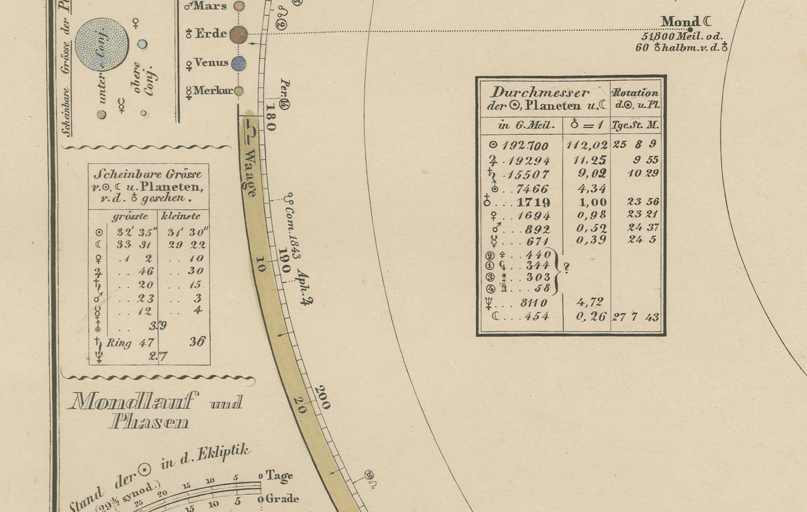
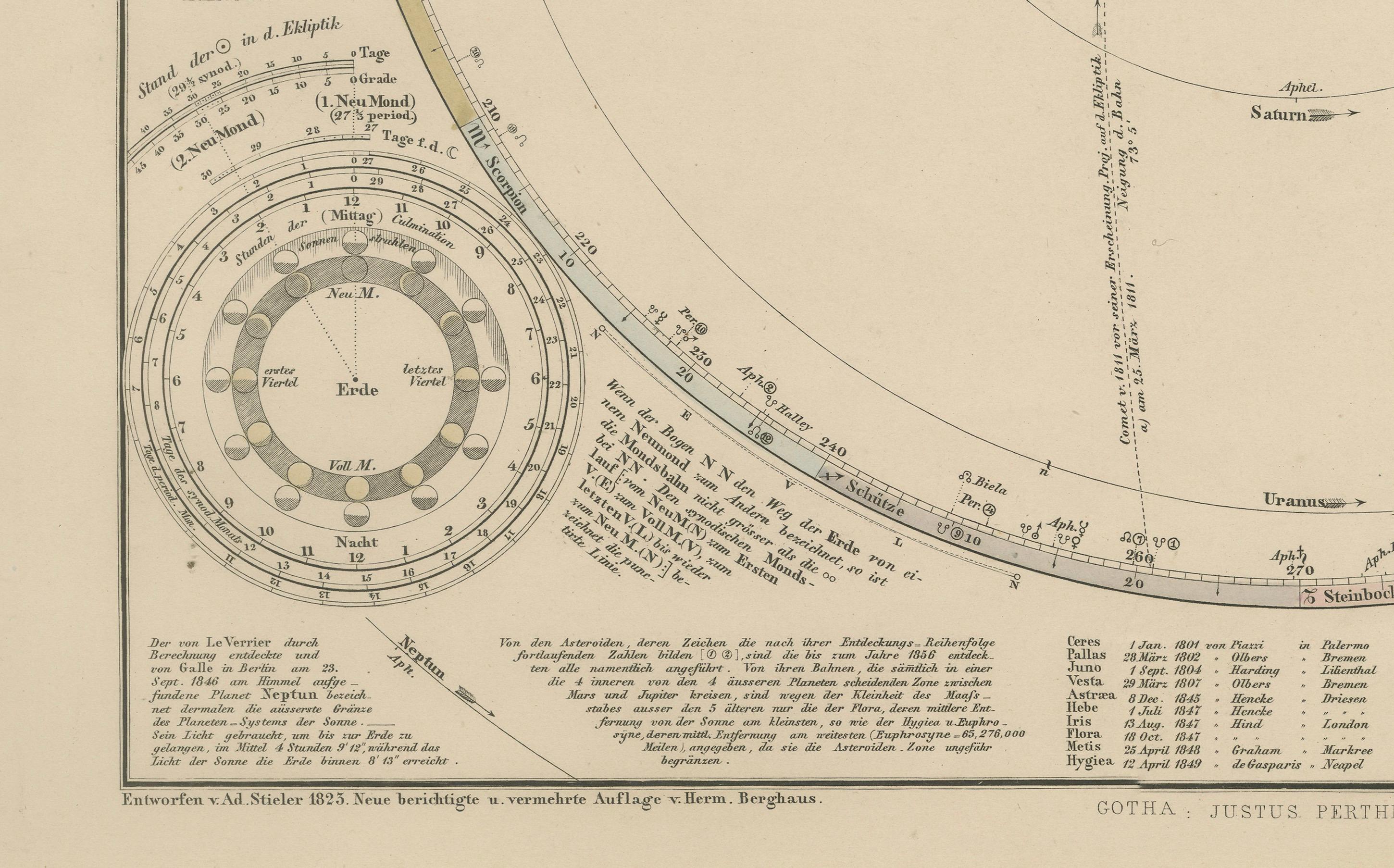
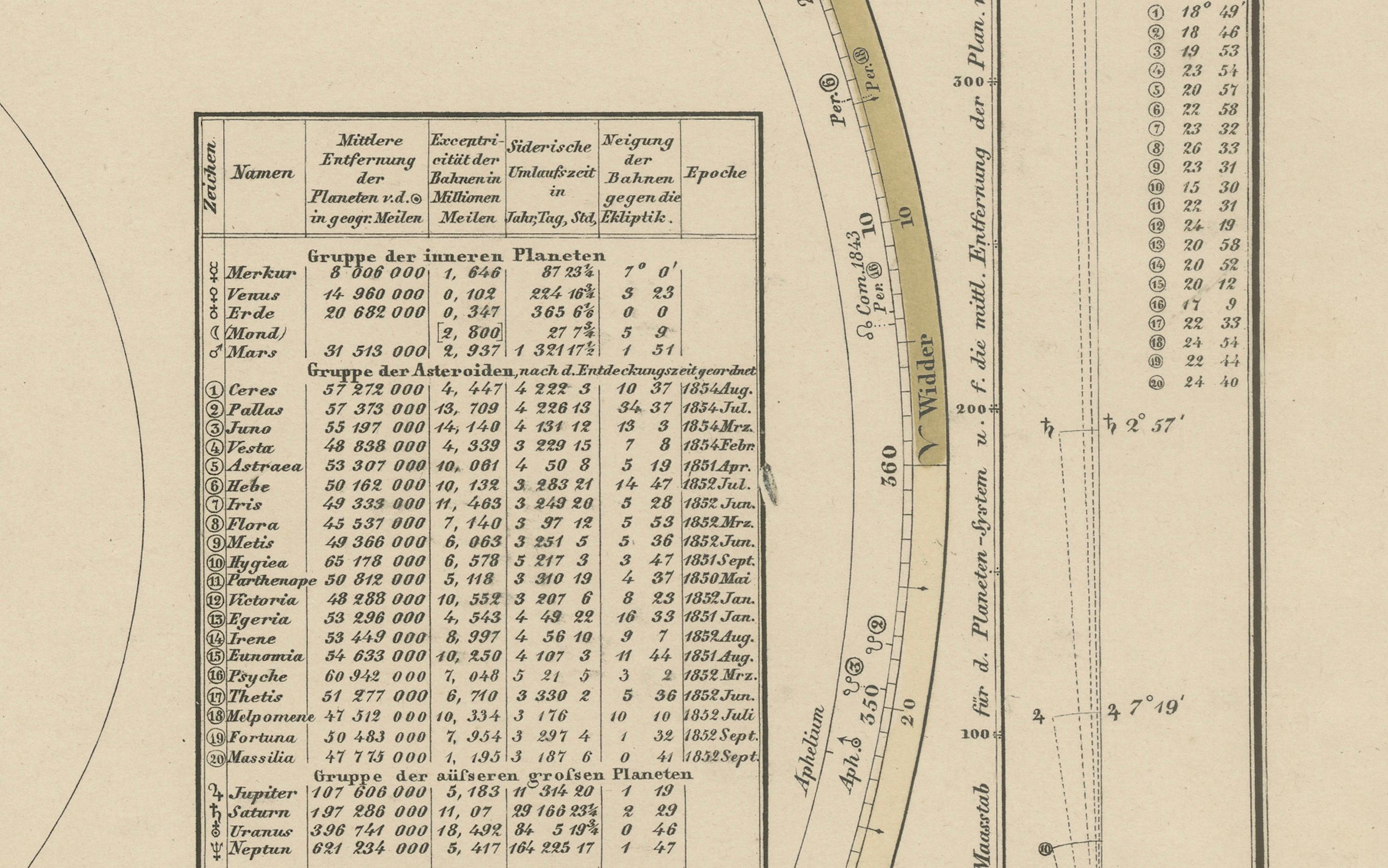
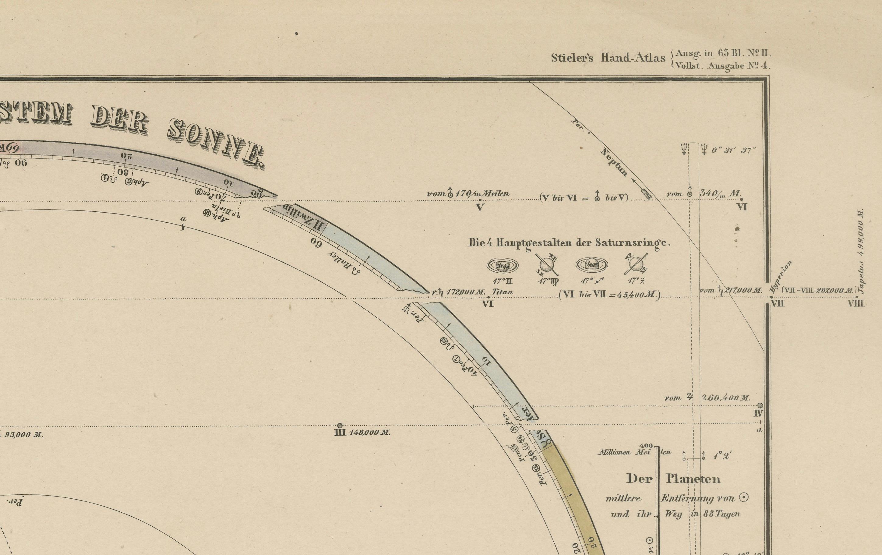
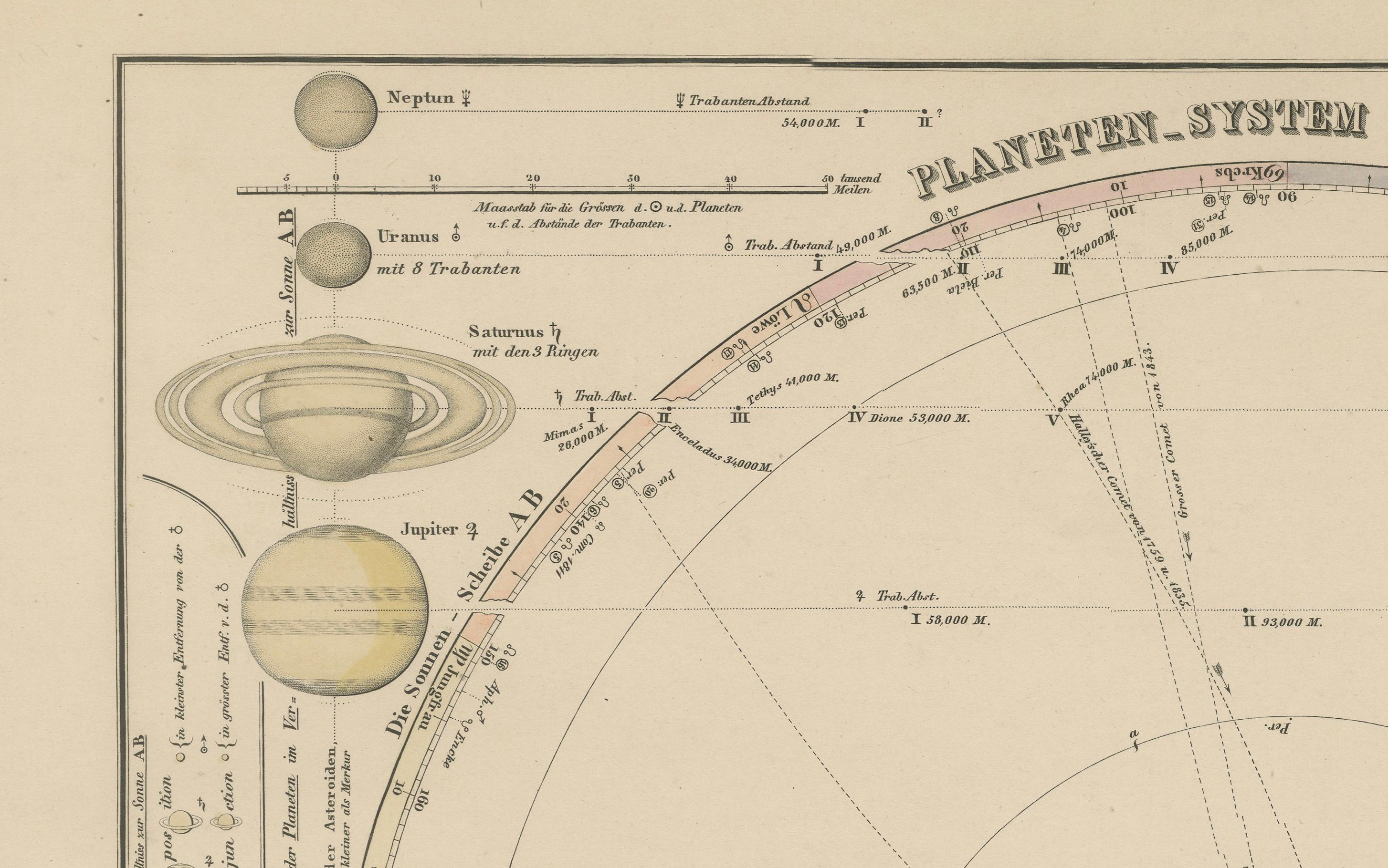
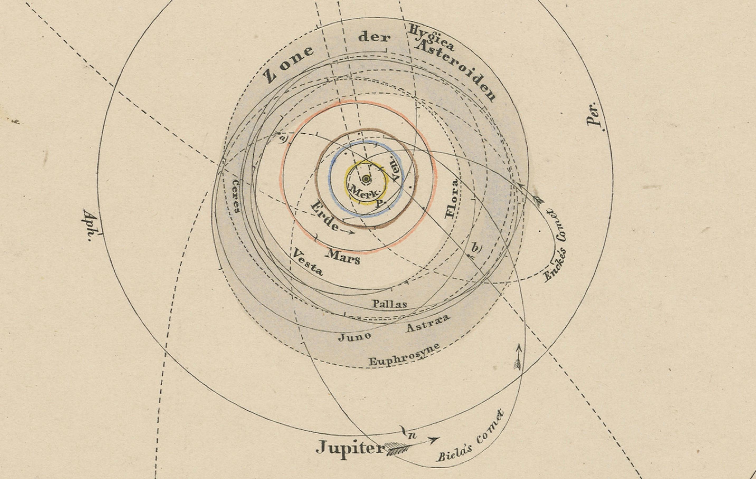
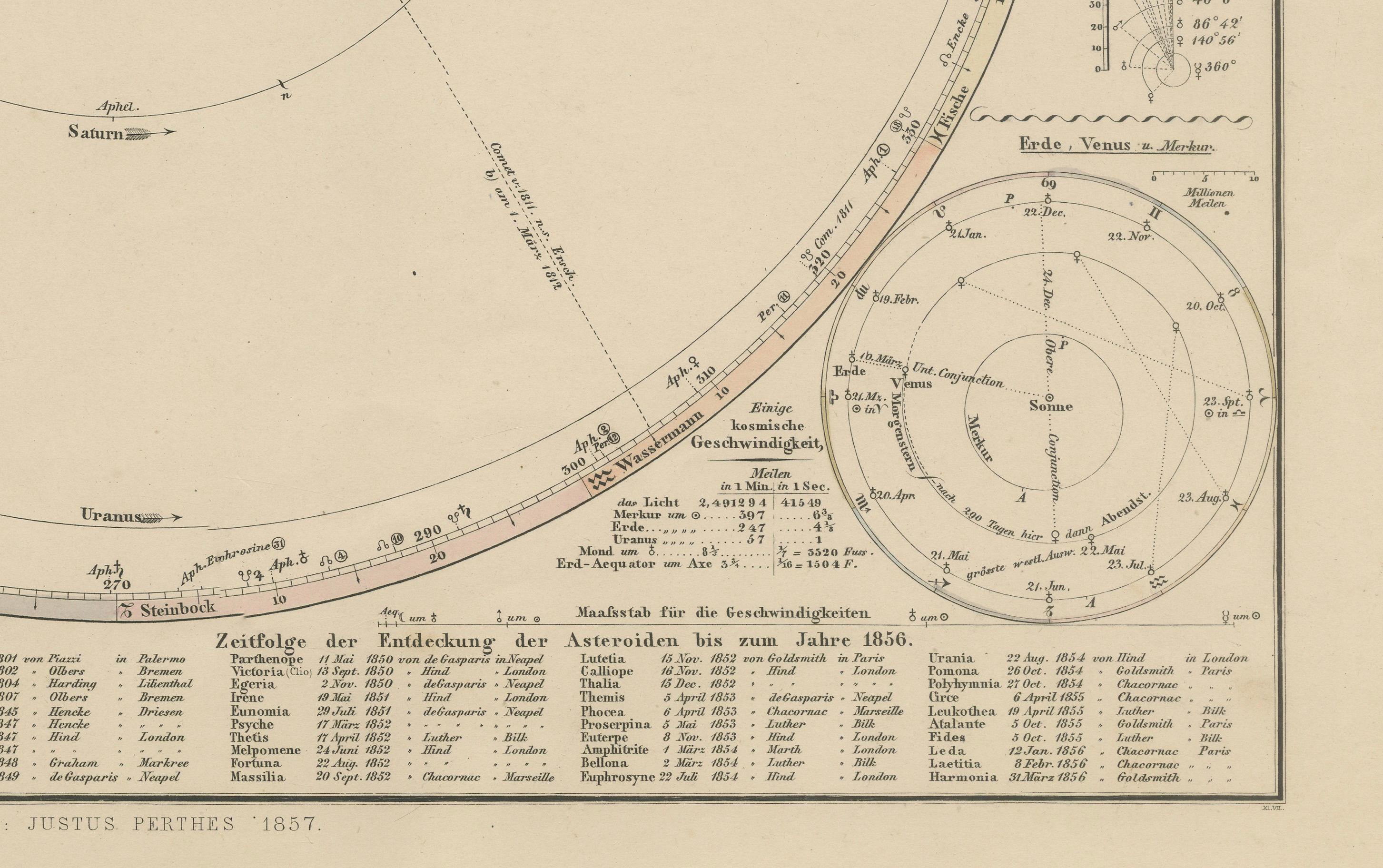
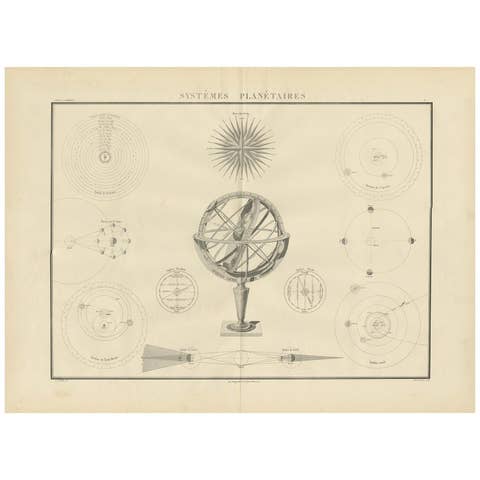
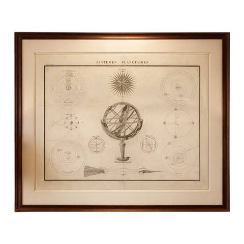
This antique print shows a detailed diagram of the solar system titled “Planeten-System der Sonne” meaning “Planetary System of the Sun”. It depicts the sun at the centre surrounded by the orbital paths of all known planets of the time: Mercury, Venus, Earth, Mars, Jupiter, Saturn, Uranus, and Neptune, along with their relative sizes illustrated at the top left. The print also includes asteroid belt information, orbital inclinations, tables of planetary data, and detailed astronomical calculations relevant to mid-19th century celestial mechanics.
Published in 1857 in Gotha by Justus Perthes as part of Adolf Stieler’s renowned Hand-Atlas, this engraving was created under the supervision of notable German cartographers and astronomers, including Heinrich Berghaus. The atlas itself was an esteemed reference in academic and scientific circles for its accuracy and clarity in geographical and astronomical knowledge.
This map is particularly significant for its presentation of Uranus and Neptune, the latter discovered only a decade earlier in 1846. It provides insights into contemporary understandings of planetary distances, orbital periods, and comparative diameters. The inclusion of asteroid discovery data up to 1856 reflects the intense scientific interest in minor planets during this era.
Technique: Copperplate engraving with original outline hand colouring to delineate planetary orbits and highlight key features. The engraving demonstrates fine precision with extensive German-language notations and numerical tables.
Condition summary: Excellent impression with strong paper quality. Minimal age toning. No tears, repairs, or significant foxing observed. Colours remain clear and fresh.
Framing tips: This planetary system print will look impressive in a dark or black wooden frame to accentuate its scientific clarity, paired with a wide off-white or light cream mount to soften the presentation and ensure focus remains on the intricate engraving. UV-protective glass is recommended to prevent fading and maintain the sharpness of its detailed lines and text.