Historic 1857 Map of North-East Africa & Arabia – Fine Engraving
€ 370
One of a kind: this is the sheet in the photographs. Ships from Langweer, the Netherlands.
Date
1857
Sheet size
37.5 × 45.4 cm (14.8 × 17.9 in)
Condition
Good
Reference
BG-05552-49
Condition
Condition summary: Excellent condition with strong impression, minimal age toning, and no tears, repairs, or significant foxing. Colours remain vivid and paper is firm and stable.
About this sheet
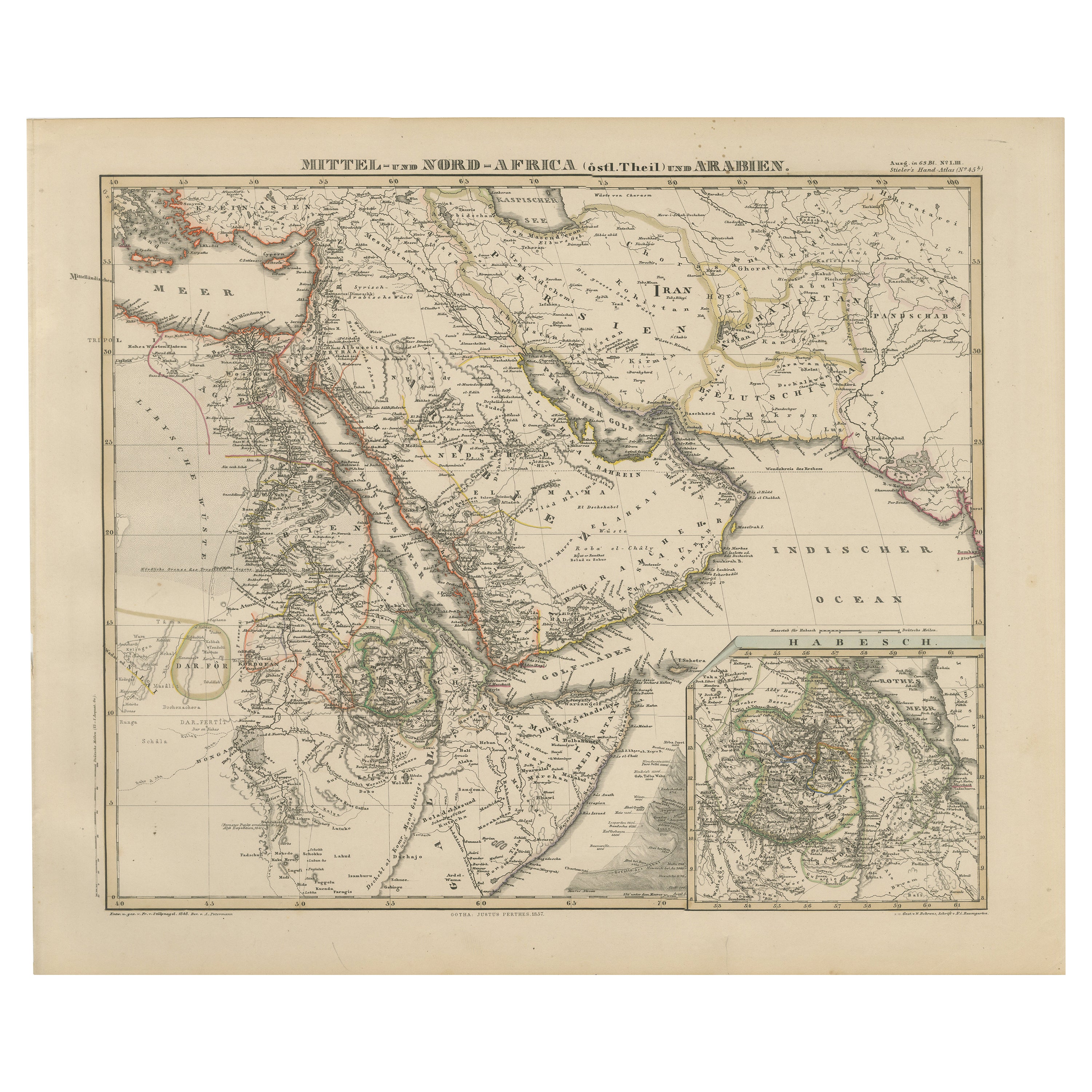
North-East Africa and Arabia Map 1857
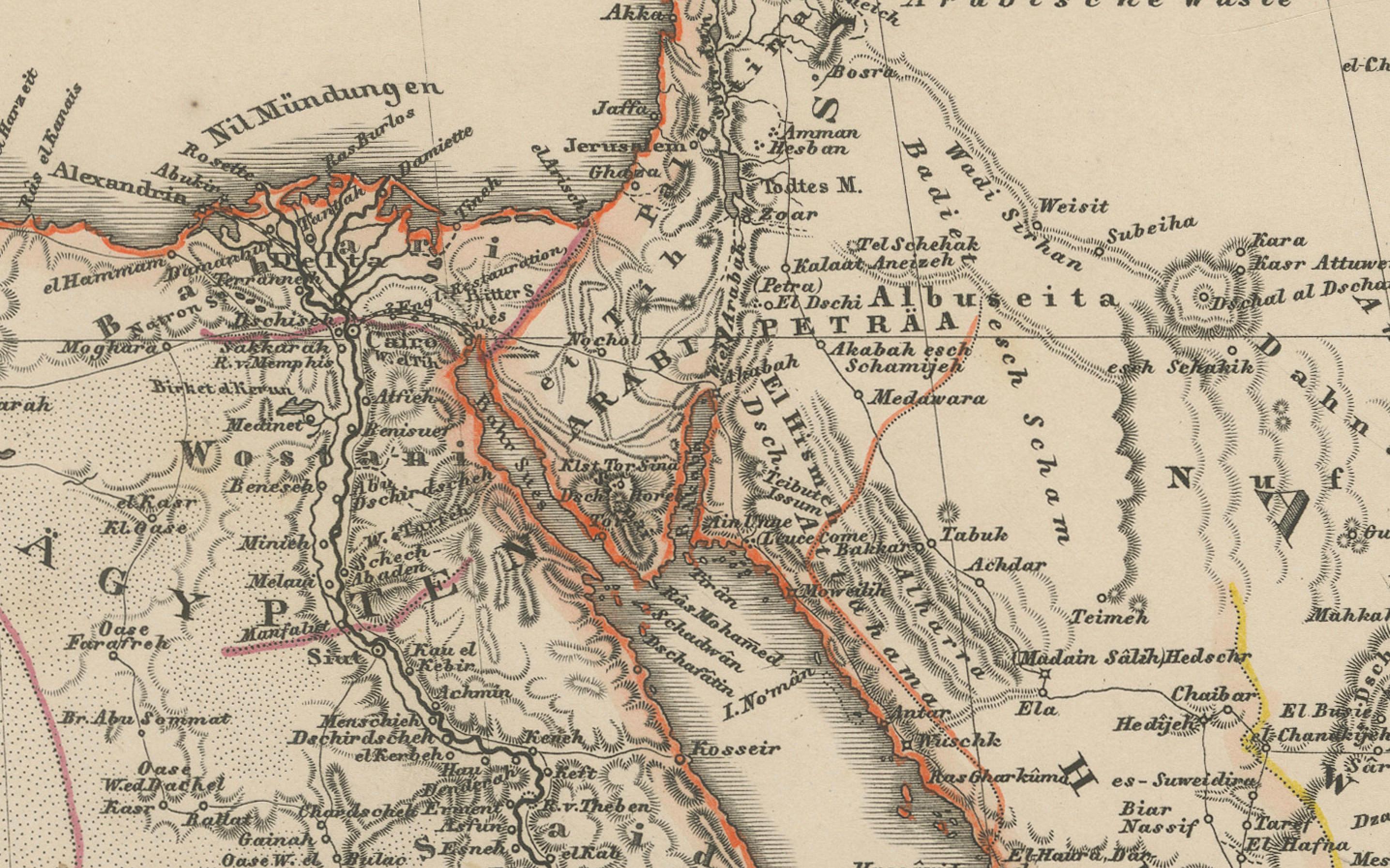
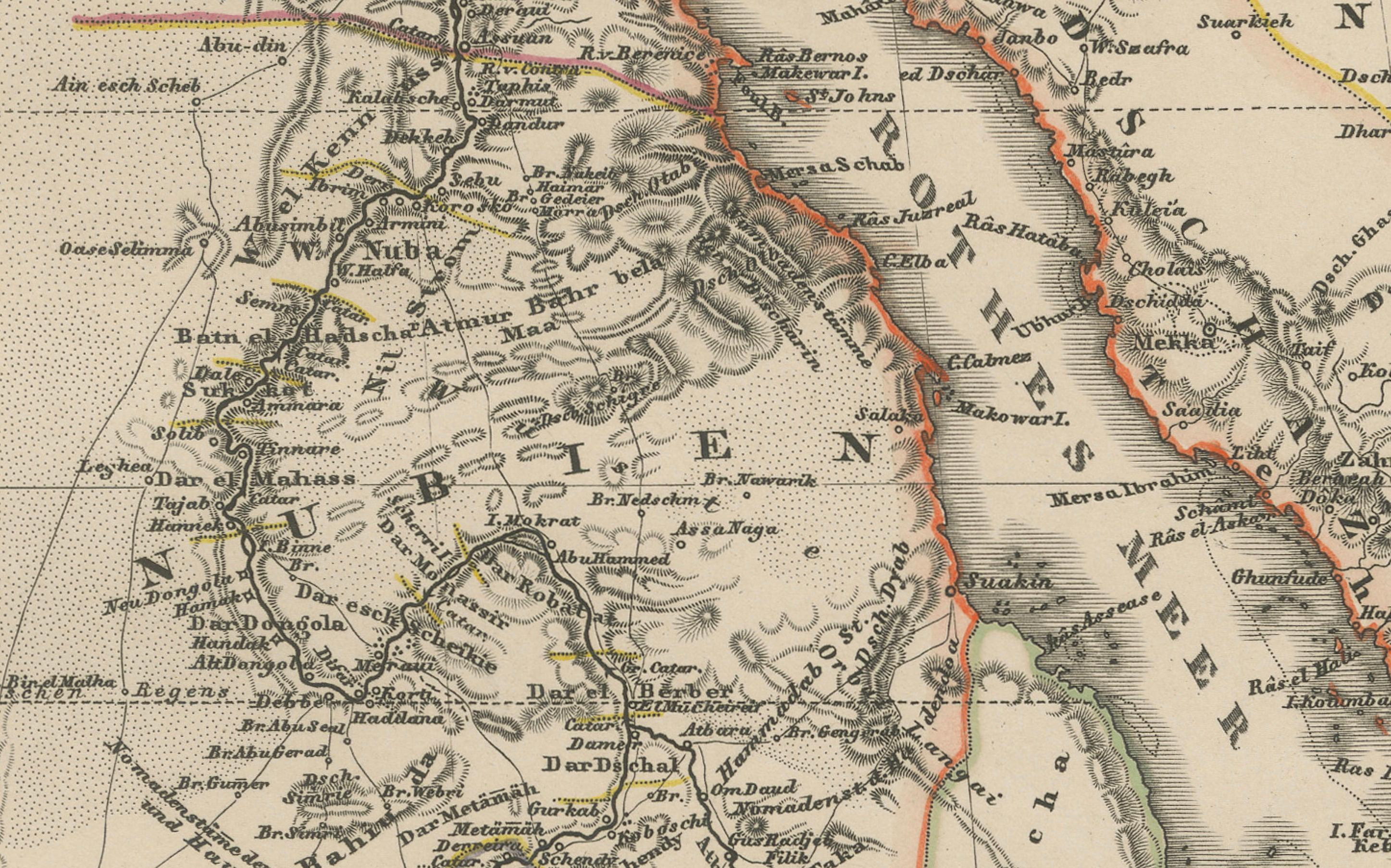
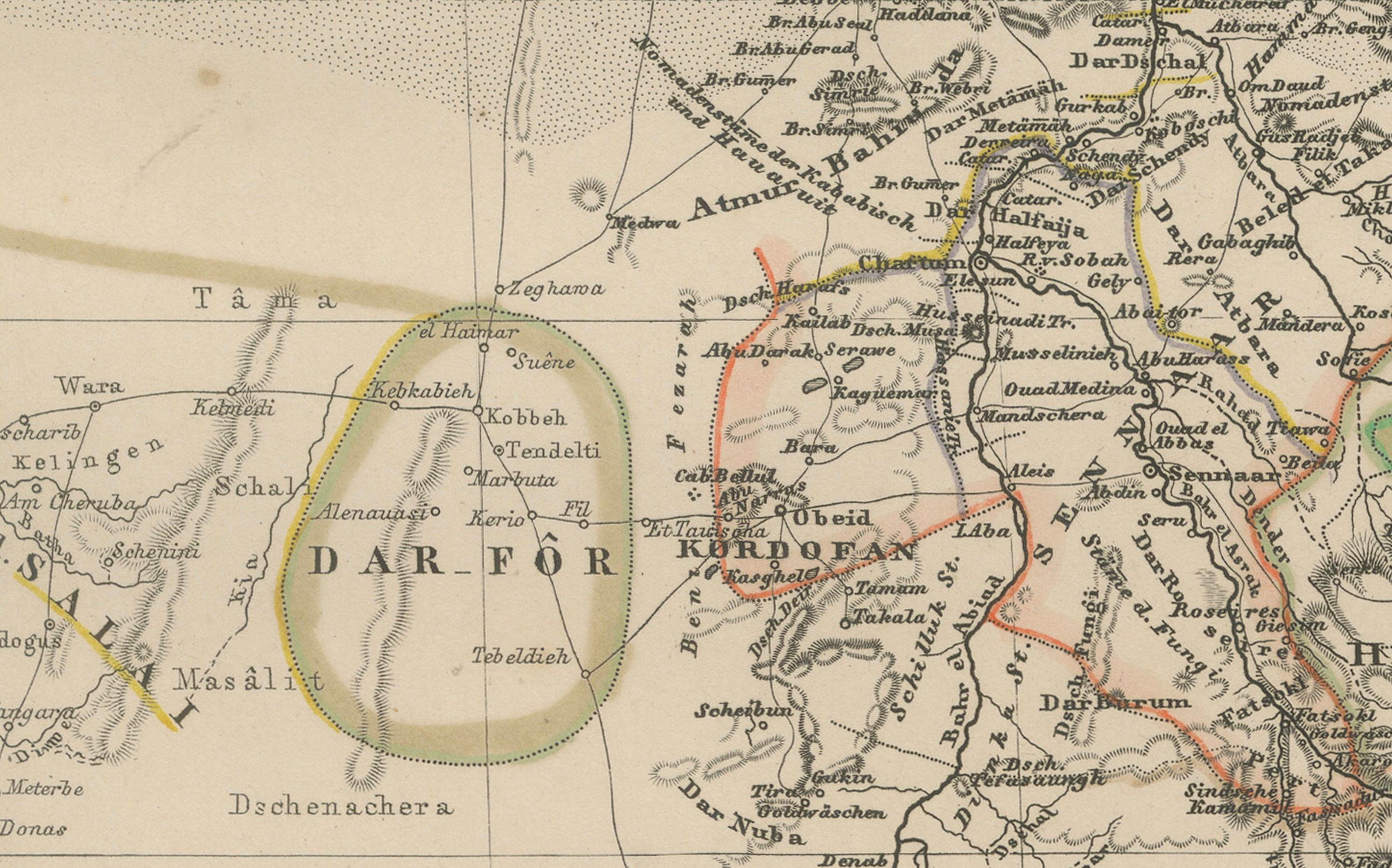
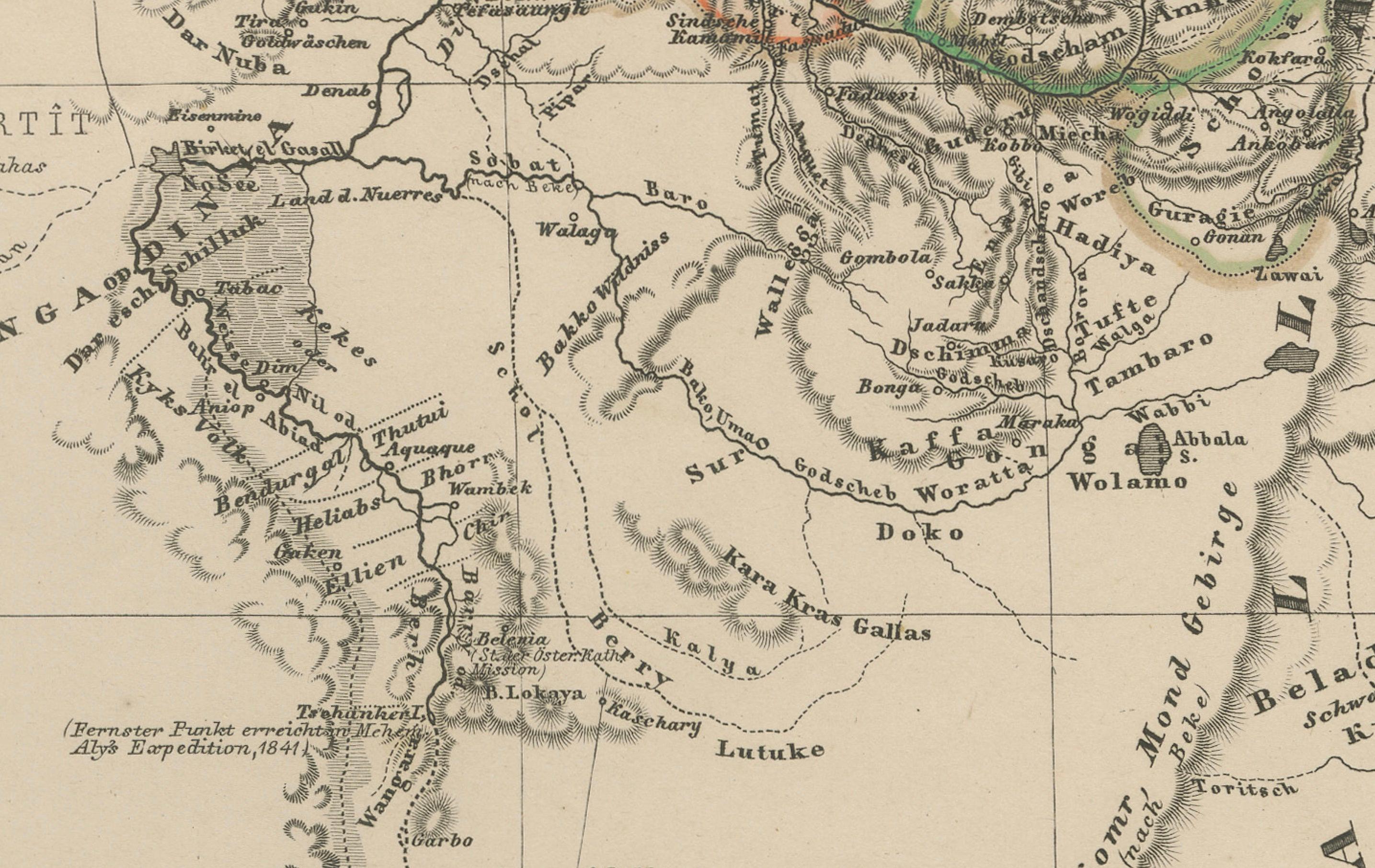
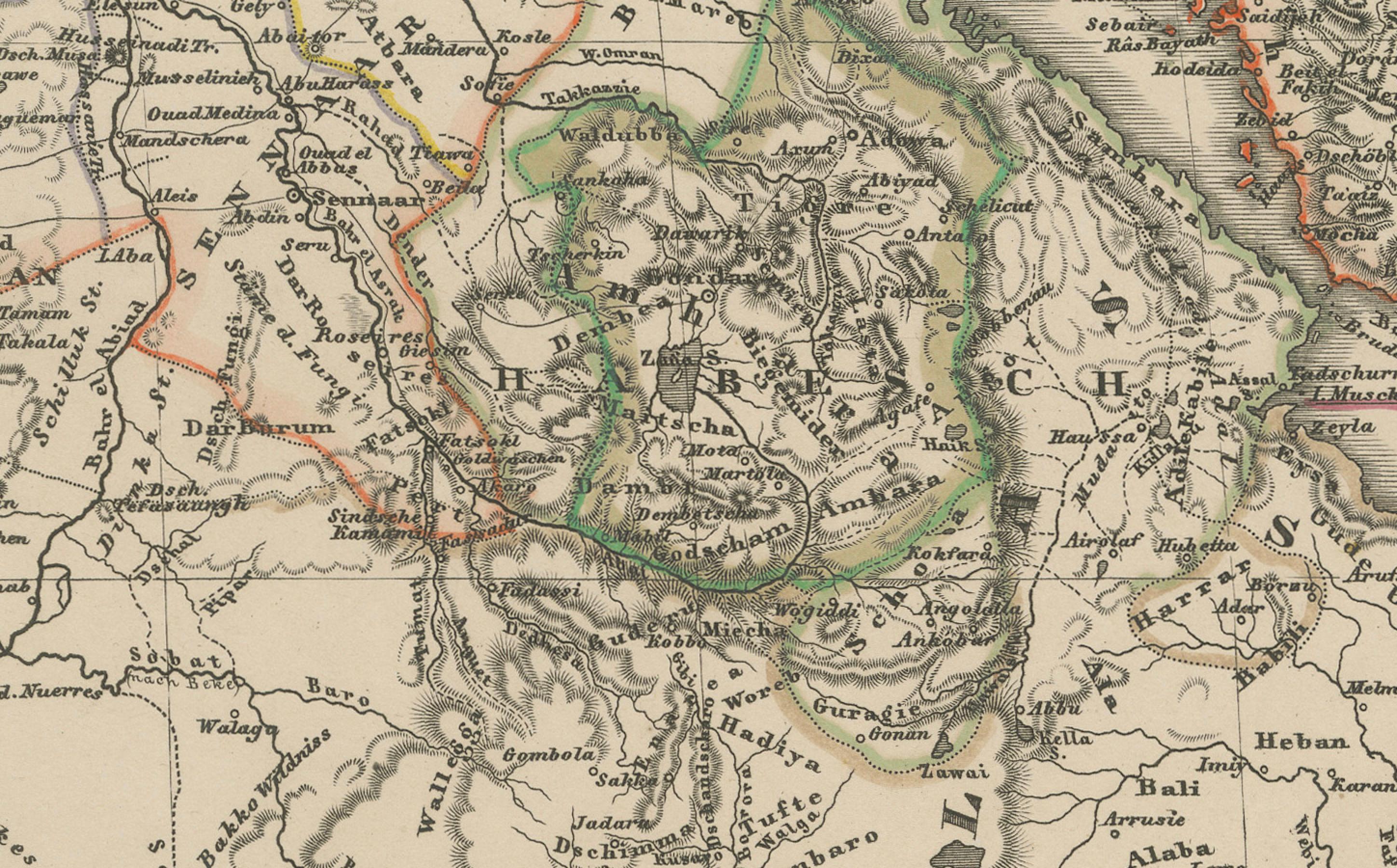
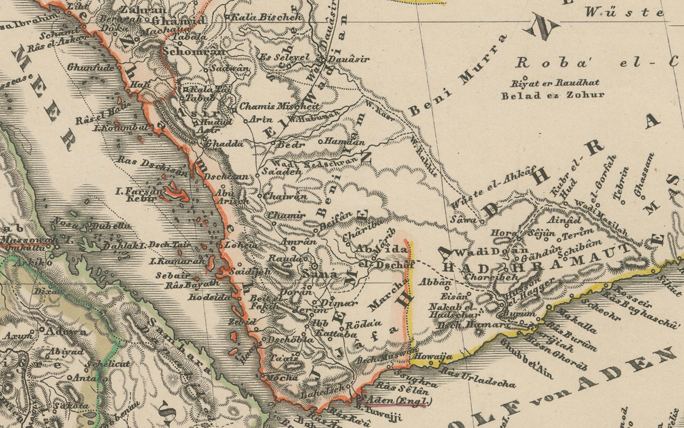
This detailed antique print shows “Mittel- und Nord-Afrika (östl. Theil) und Arabien” meaning “Central and North Africa (eastern part) and Arabia,” published in 1857 by Justus Perthes in Gotha as part of Adolf Stieler’s esteemed Hand-Atlas. The map was created under the cartographic direction of F. v. Stülpnagel.
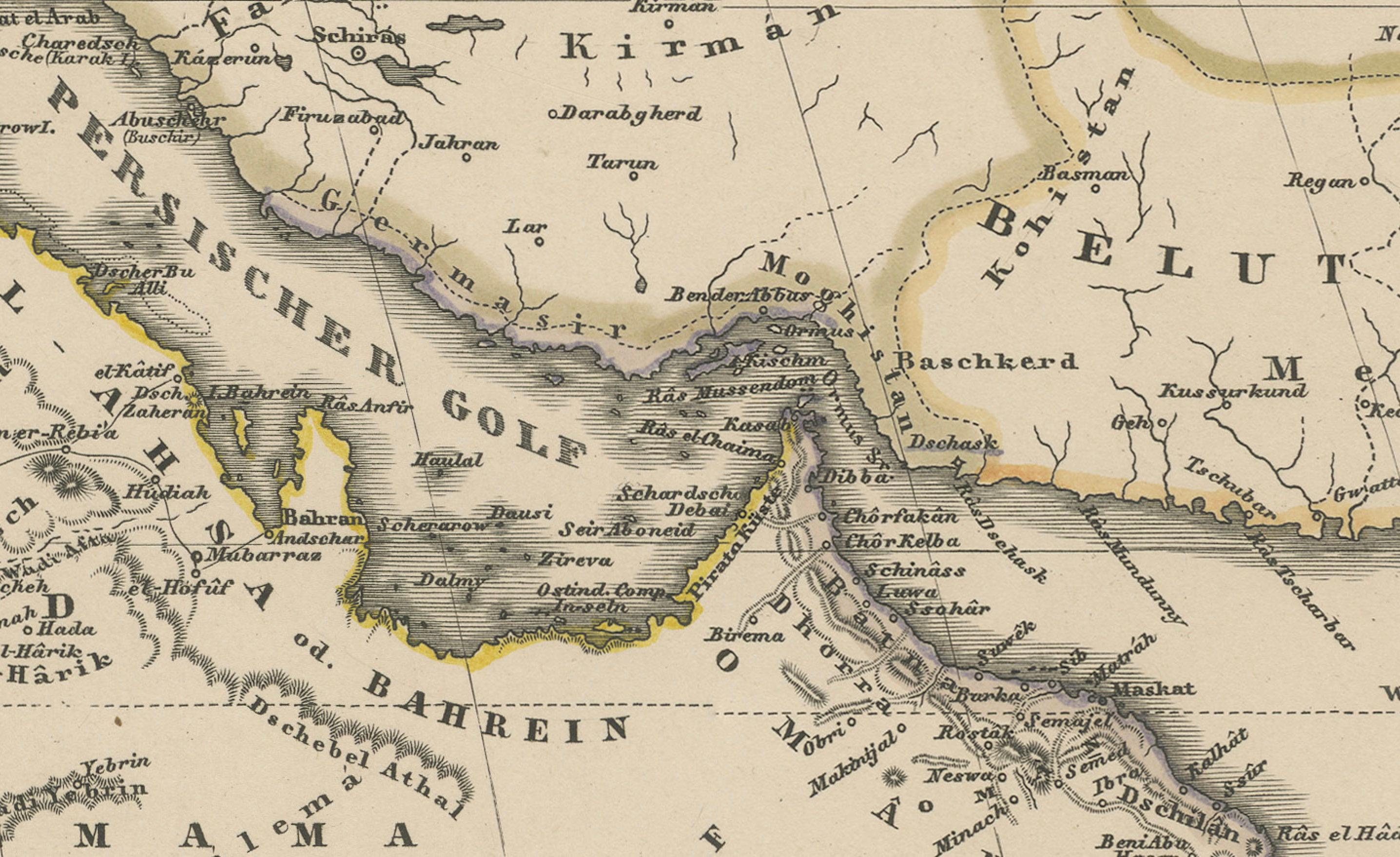
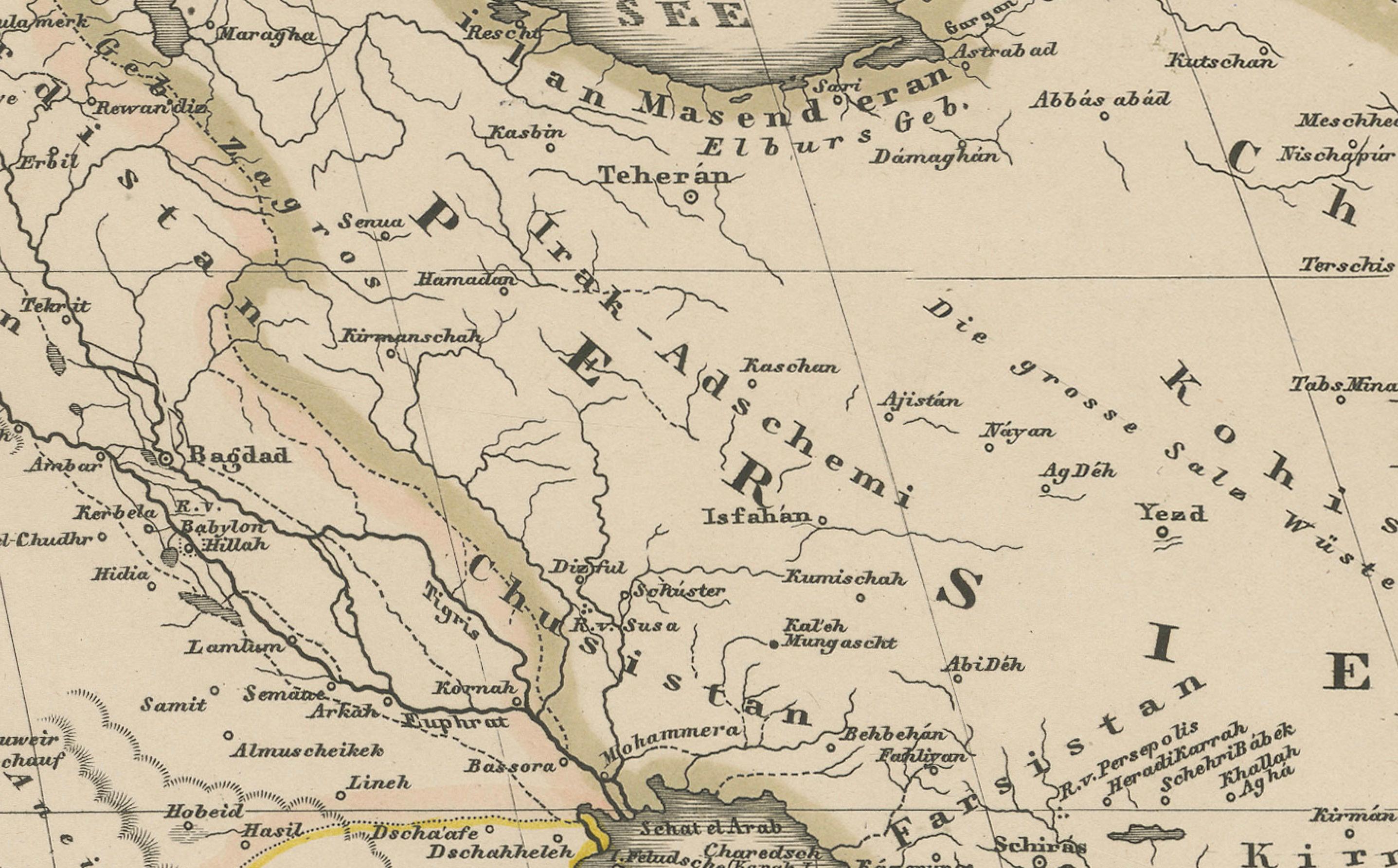
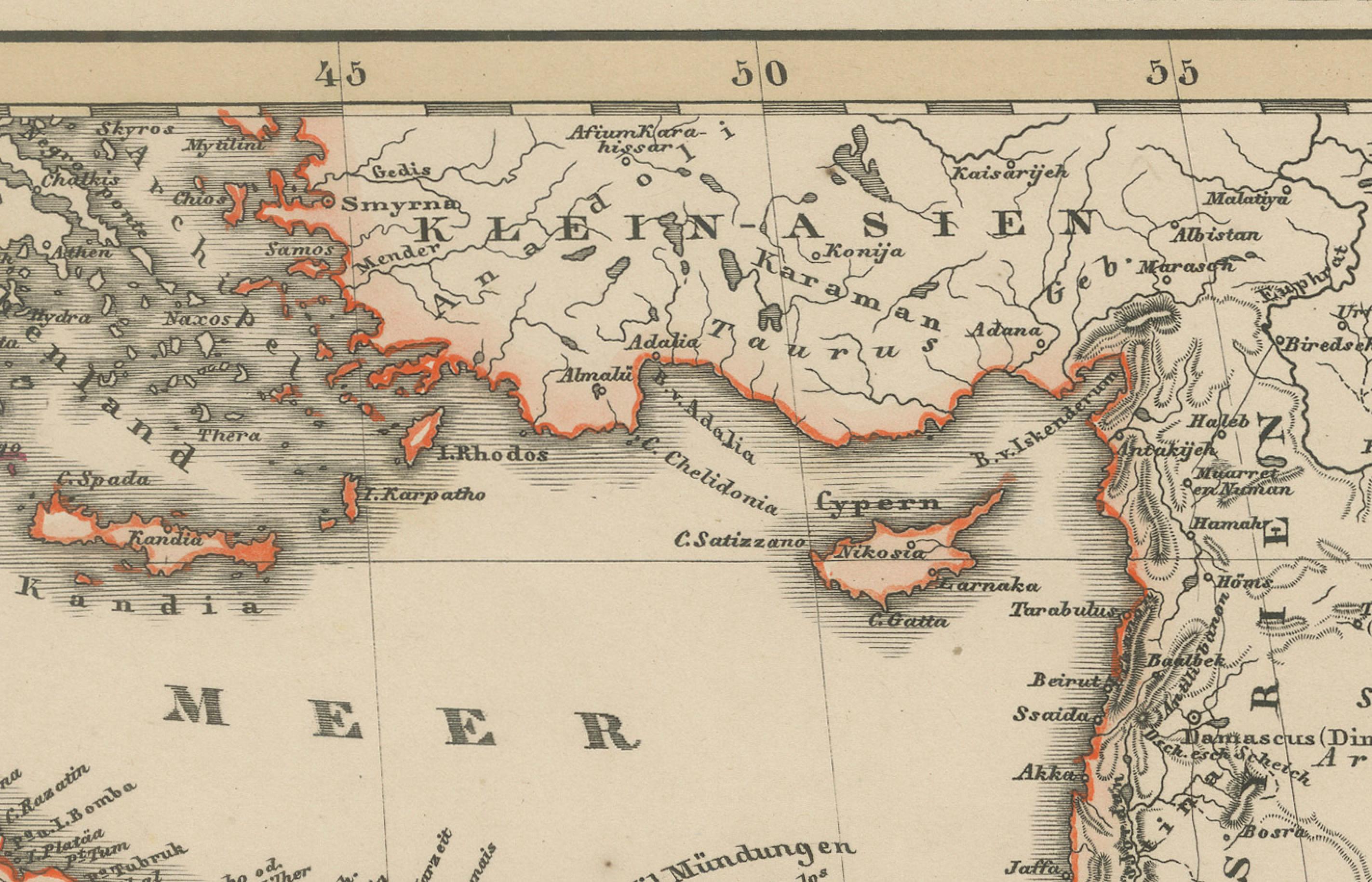
It covers North-East Africa including Egypt, Sudan, Nubia, Abyssinia (Ethiopia), and the Red Sea coast, alongside the Arabian Peninsula with Hejaz, Yemen, Oman, and Persian Gulf regions. Major features include the Nile River from its delta southward, the Red Sea, the Gulf of Aden, the Persian Gulf, and key cities such as Cairo, Mecca, Medina, Muscat, and Aden.
An inset map at lower right shows “Habesch” (Abyssinia/Ethiopia) in greater detail with mountain ranges, river systems, and provinces labelled precisely, reflecting European exploration interests in the Horn of Africa during the mid-19th century.
This map is significant for its depiction of regions central to European trade, pilgrimage routes, and geopolitical interests in the mid-1800s, prior to the construction of the Suez Canal (completed 1869). It reflects a period of expanding European knowledge of Africa’s interior and Arabian geography.
Technique: Copperplate engraving with original hand colouring used to delineate borders and territorial divisions in subtle hues. German titles and detailed annotations are engraved with precision, characteristic of Stieler’s cartographic standards.
Condition summary: Excellent condition with strong impression, minimal age toning, and no tears, repairs, or significant foxing. Colours remain vivid and paper is firm and stable.
Framing tips: This North-East Africa and Arabia map will look striking in a dark wood or black frame to emphasise its historical and geographical presence. Pair with a wide ivory or cream mount to balance its composition and highlight fine engraved details. UV-protective glass is recommended to preserve the engraving lines and original colouring for long-term display.