About this sheet
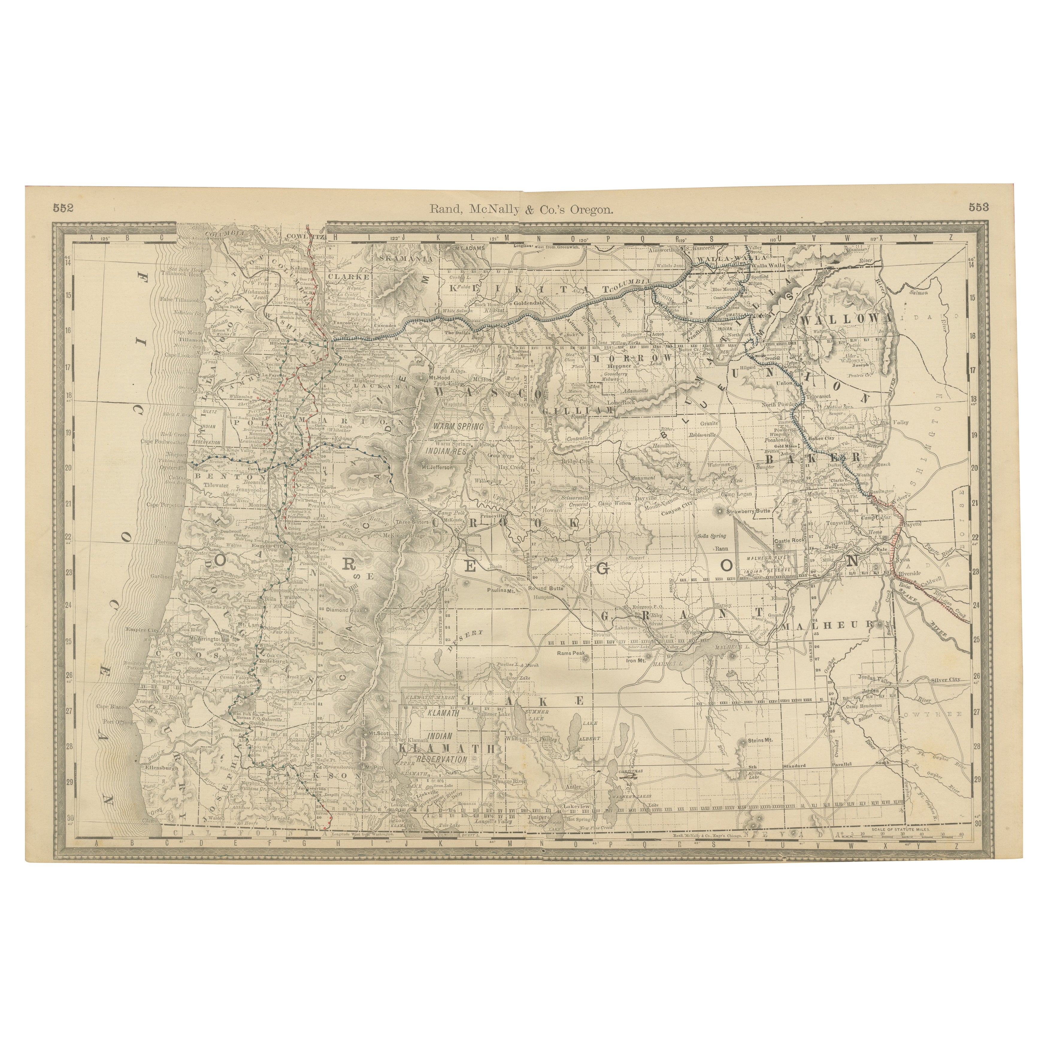
Antique Map of Oregon – Railroads, Indian Reservations & Counties, 1888
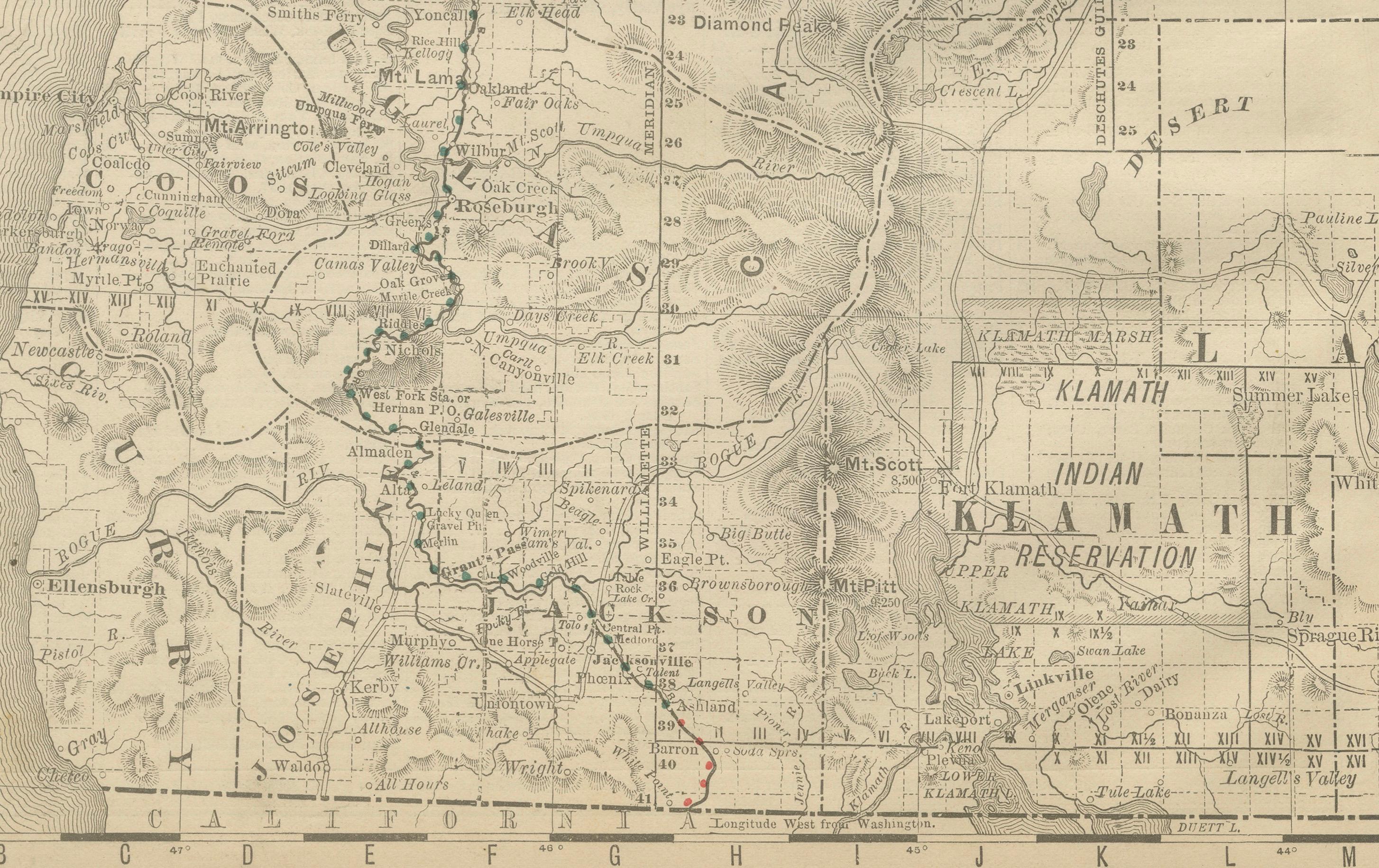
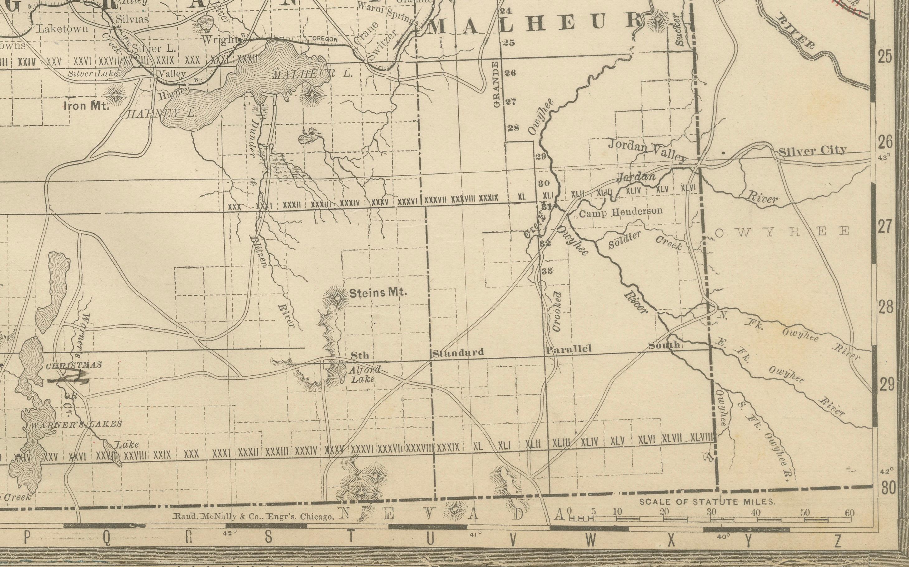
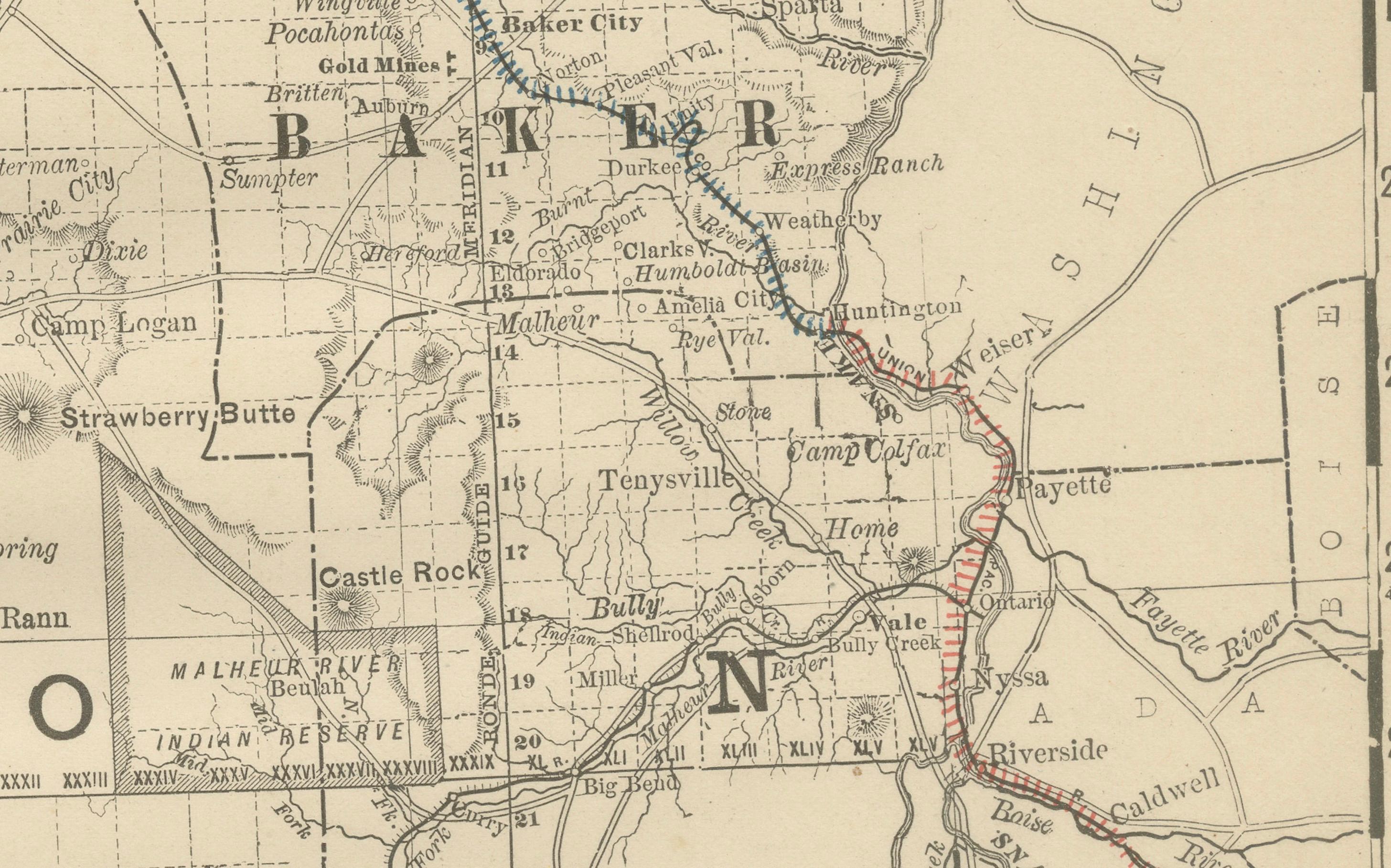
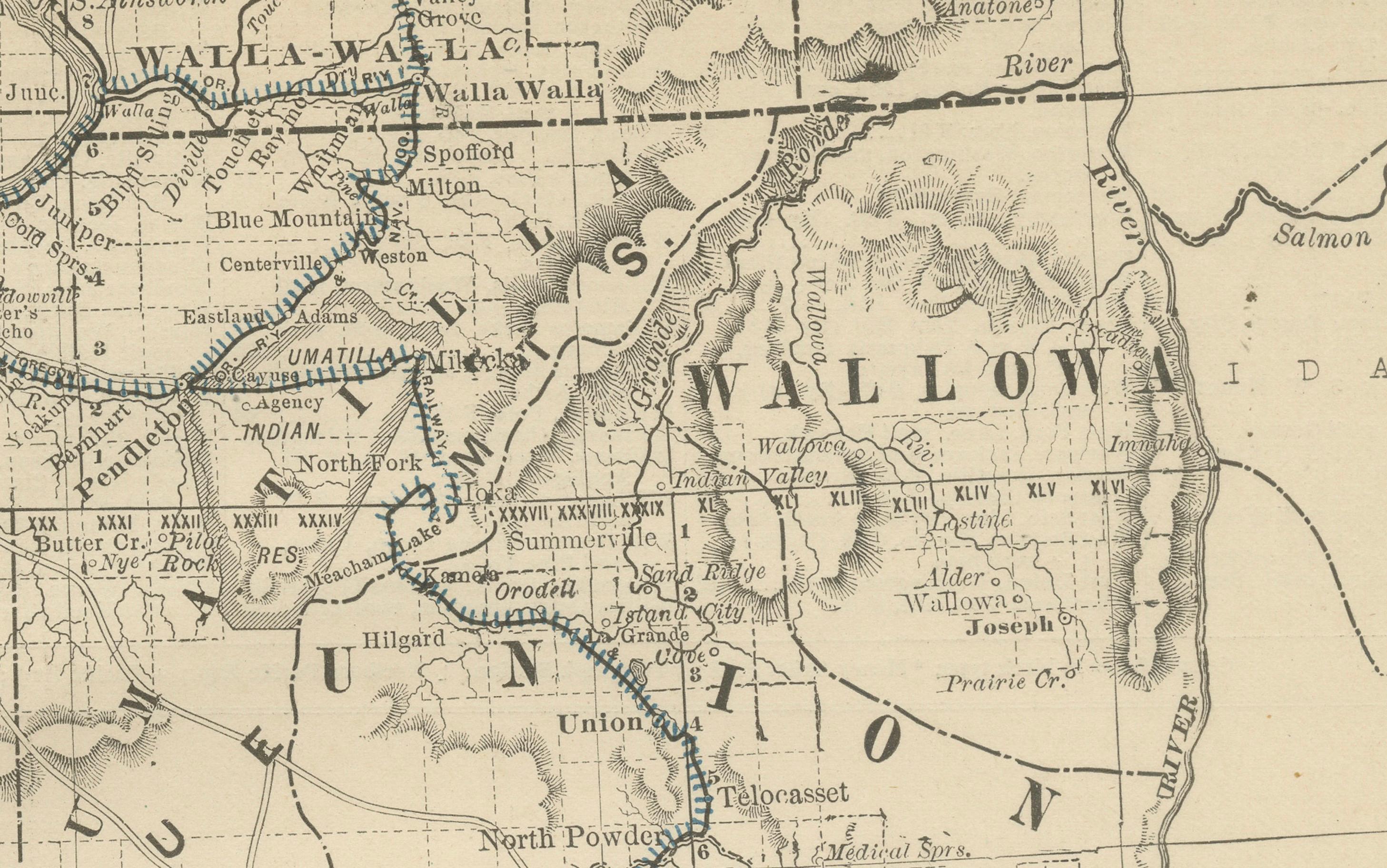
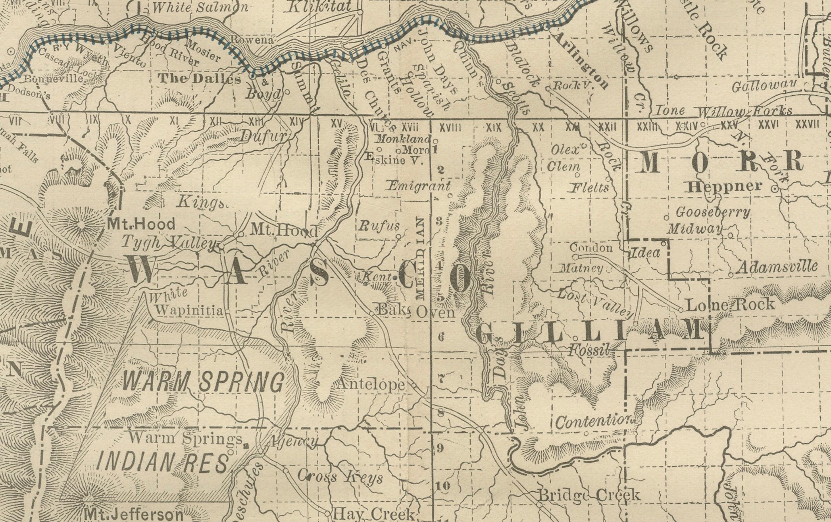
This antique engraved map presents the state of Oregon in 1888, a time when the Pacific Northwest was rapidly expanding under the influence of railroads, agriculture, and settlement. Published by Rand, McNally & Co. in Chicago for their Improved Indexed Business Atlas and Shippers Guide, it provides a detailed view of Oregon’s counties, towns, transportation routes, and natural geography just three decades after statehood in 1859.
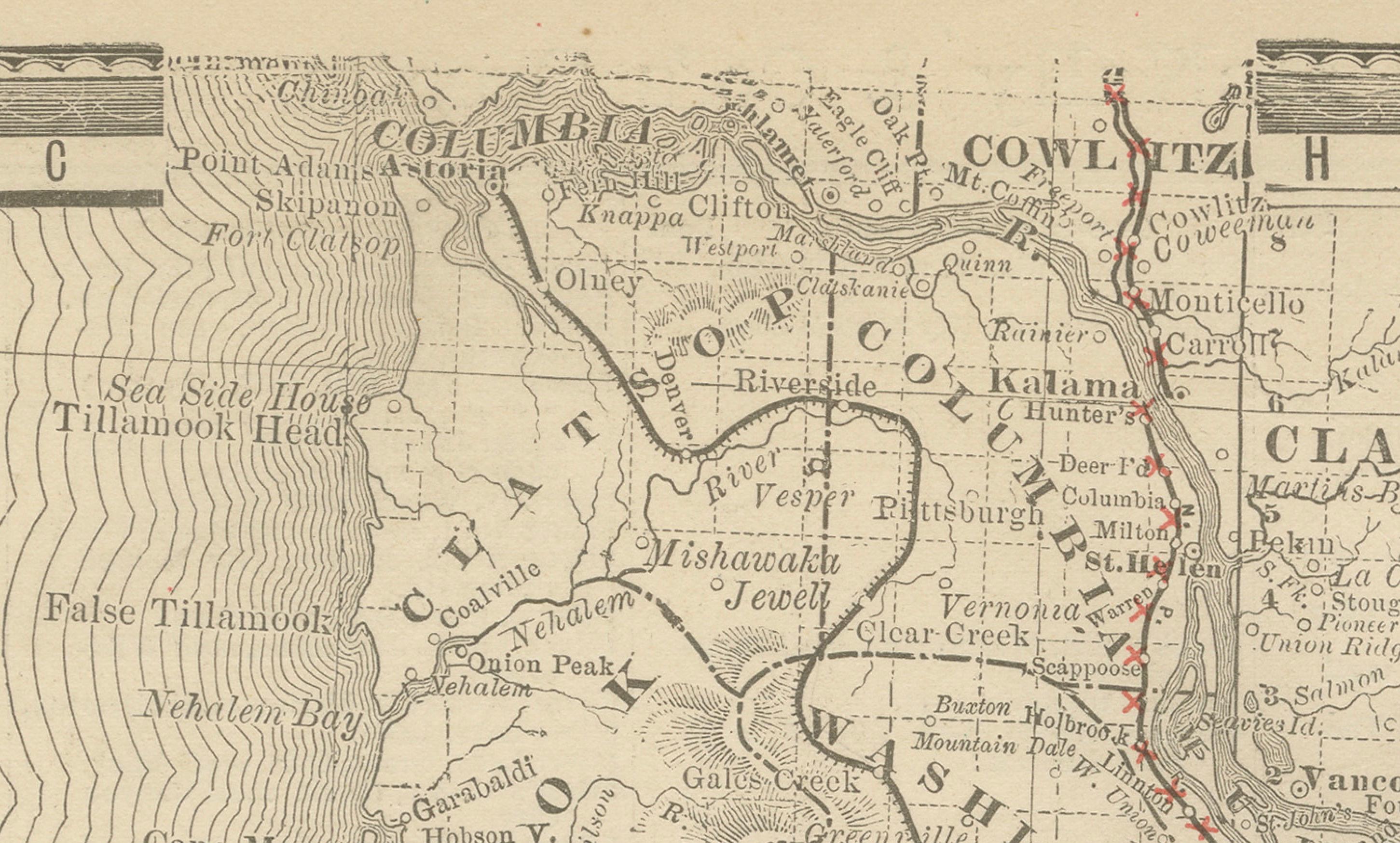
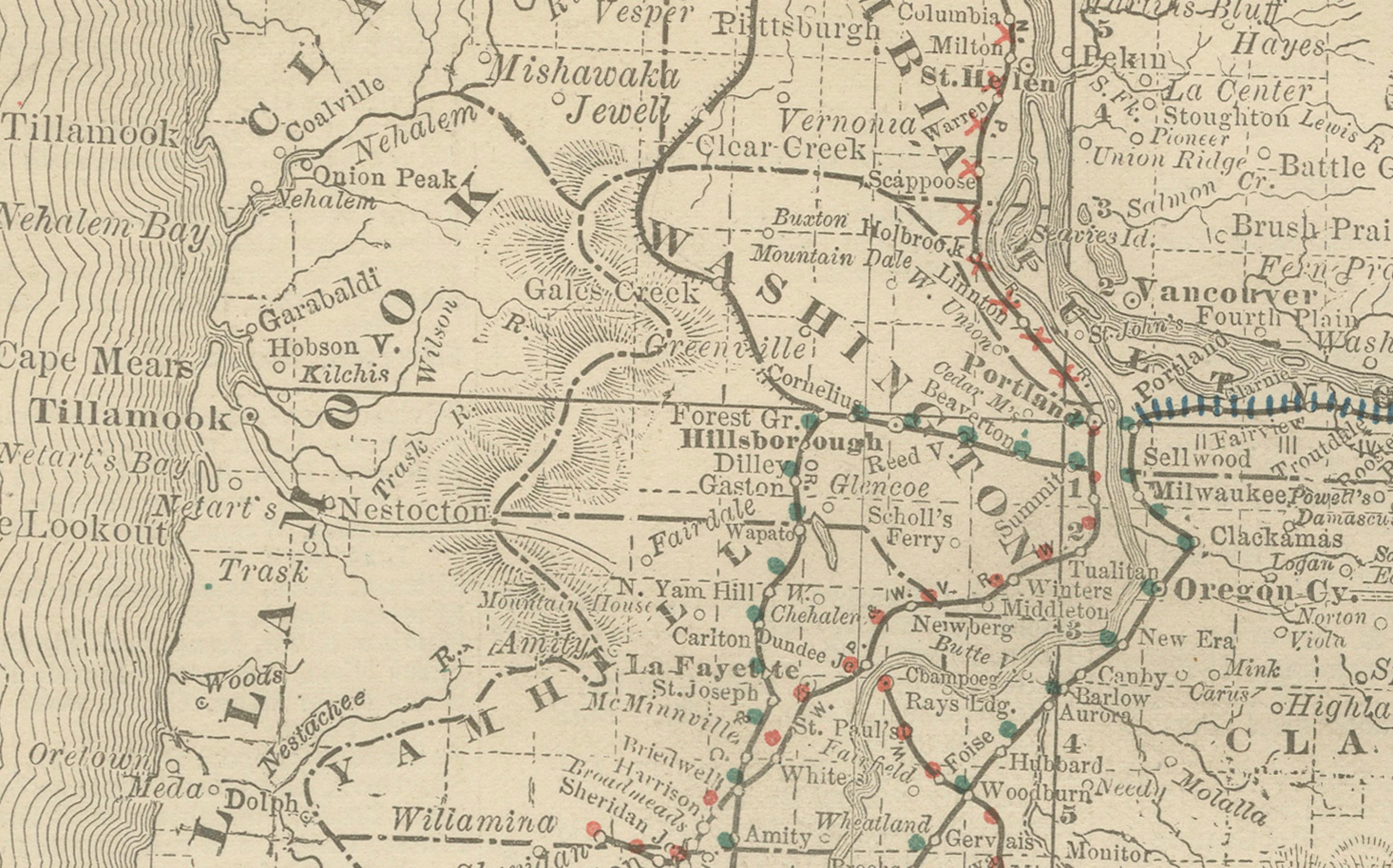
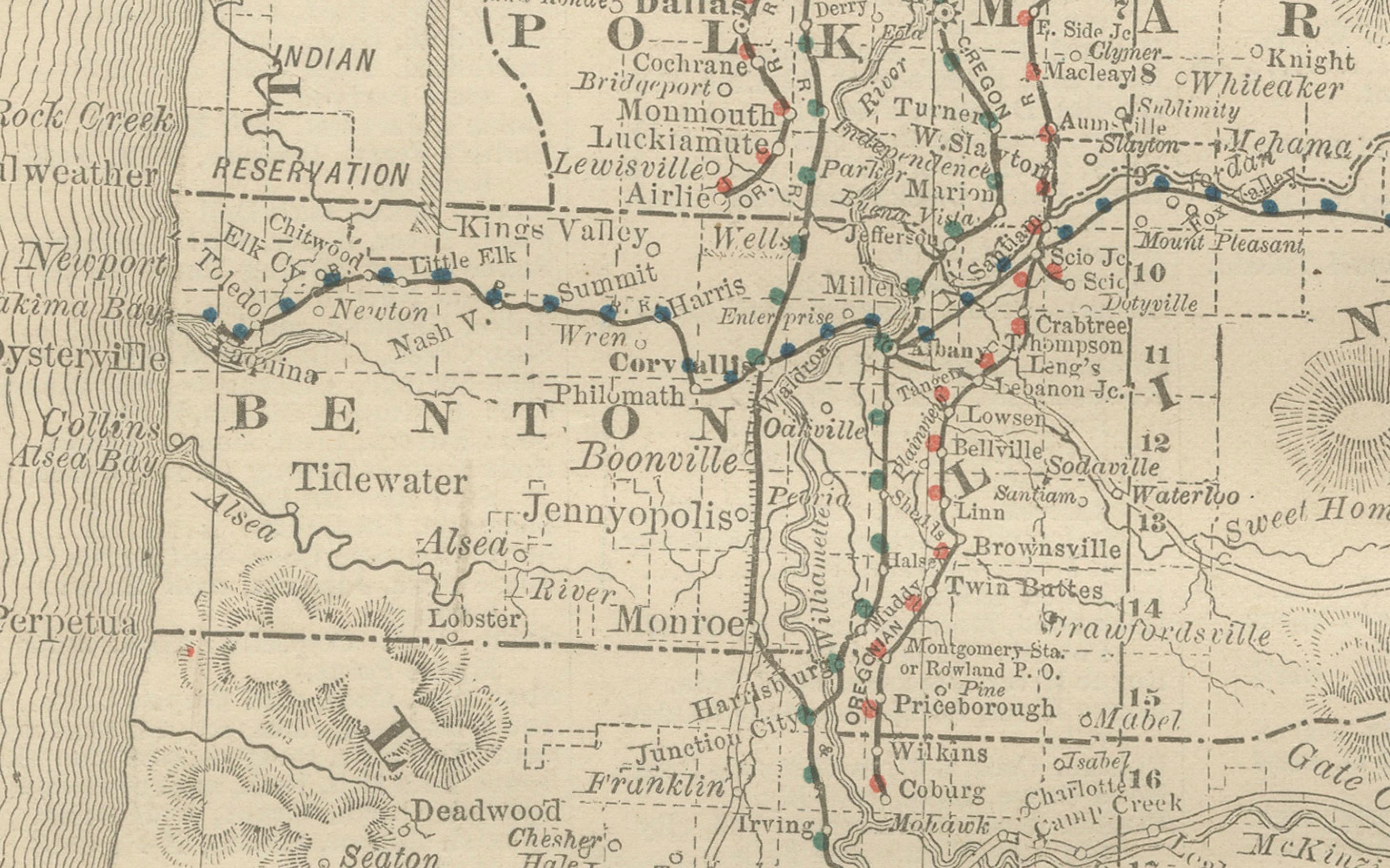
The map highlights the development of railroads, depicted in red and blue lines. Key routes include the Oregon & California Railroad running south from Portland through the Willamette Valley and the Oregon Railway & Navigation Company line following the Columbia River eastward toward the Idaho border. These routes connected Portland—the economic and shipping center of the state—to interior farming communities and to markets across the United States. The importance of Portland, Salem (the capital), and Astoria are emphasized, along with smaller but growing towns like Eugene, Albany, and The Dalles.
Equally significant are the Native American reservations clearly marked, such as the Warm Spring Indian Reservation and the Klamath Indian Reservation. Their presence on the map underscores the ongoing process of displacement and cultural negotiation that characterized Oregon in the late 19th century. Counties including Multnomah, Marion, Lane, Jackson, Umatilla, Baker, and Wasco are well defined, reflecting the administrative structure of the state during this period. Natural features are also carefully noted, including the Cascade Range, Crater Lake, the Columbia River, and Oregon’s rugged Pacific coastline.
This map captures a transitional moment in Oregon’s history. Timber and fishing industries were thriving, agriculture in the Willamette Valley was flourishing, and mining operations in eastern Oregon continued to draw settlers. The expansion of the railroads during the 1880s was instrumental in integrating Oregon’s economy with the rest of the nation, fueling population growth and new opportunities.
Printed as an engraving, the map displays the crisp, clear detail for which Rand McNally was renowned. It was designed both as a practical business and shipping reference and as a promotional tool highlighting Oregon’s accessibility and resources.
Condition summary: Good condition with only minor age-related toning. Some faint foxing and handling marks in the margins, but no major tears or repairs. Paper remains strong, with a clear plate impression and excellent readability.
Framing tips: A walnut or oak frame would enhance the antique feel of this map, while a black frame with a cream or parchment-colored mount will emphasize the fine engraved detail. A double mat, perhaps ivory with a green accent, can draw attention to Oregon’s natural landscapes and rich geography.
Technique: Engraving
Maker: Rand, McNally & Co., Chicago, 1888